Above Ellicott Rock, the famous Wild & Scenic Chattooga River is wilder, steeper, and less-frequented. A separate stand-alone section of the Chattooga River Trail, not connected to the trail's main course from Ellicott Rock southward, travels several miles along the river between Whiteside Cove Road and Bullpen Bridge. This section of the Chattooga River Trail may actually be its most scenic, with numerous views of whitewater rapids interrupted by tranquil pools on the river. In addition, the trail passes near three unique sets of narrows on the river, one of which meets the definition of a true slot canyon. The trailside upper narrows are right by the confluence of Norton Mill Creek, featuring its own picturesque cascades. In addition, a series of spur paths and a short bushwhack leads more adventurous hikers to a scenic 25-foot waterfall on Cane Creek, another tributary of the Chattooga. This hike occurred on Saturday, February 24th, 2018. My plan was to hike the Chattooga River Trail out and back from Whiteside Cove Road to Cane Creek, from where I'd follow unofficial trails to Cane Creek Falls. This trail report additionally includes information about an alternate, short access to Cane Creek Falls, as well as about a seldom-visited waterfall on the Chattooga River itself called Corkscrew Falls.
Summary
R/T Length of Trail: 8.3 Miles
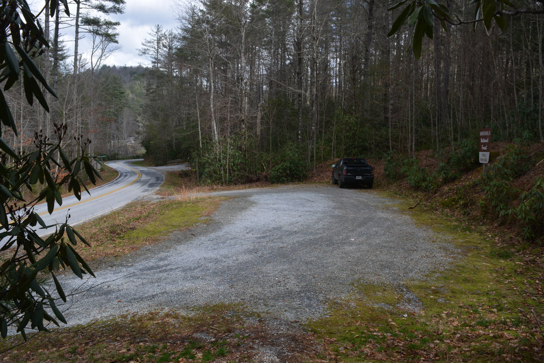
Duration of Hike: 4:30 plus 45 minutes of stopping Type of Hike: Out and Back Difficulty Rating: 5 out of 10 Total Elevation Gain: 1609 Feet Pros: Numerous river views Cons: The bushwhack to Cane Creek Falls can be on the tough side for folks who aren't accustomed to off-trail scrambling Points of Interest: Numerous Chattooga River views; Upper Narrows and Norton Mill Creek Confluence; Cane Creek Falls - 6 stars Trail Blaze Colors: Chattooga River Trail - None Best Seasons to Hike: Winter Fees: None Beginning Point: Chattooga River Trailhead on Whiteside Cove Road Directions from Highlands, NC: From the intersection of Main Street and 4th Street in downtown Highlands, follow Main Street East (which turns into Horse Cove Road) for 4.6 miles. Then, at the Y-split where Whiteside Cove Road bears left and Bull Pen Road bears right, stay left on Whiteside Cove Road. In 0.5 miles, you'll pass the gated beginning of FS 2052 (the trailhead for the short way to Cane Creek Falls) on the right. In another 3.1 miles, reach the signed parking area for the Chattooga River Trail on the right. Map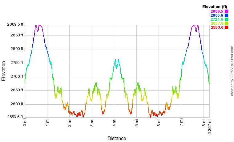
Click the link below to download a .GPX file with a track of this hike.
Details
As I slowly chipped away at the remaining Chattooga River Trail sections I need to complete to have hiked the full trail, my attention came to rest upon the stand-alone section (also known as Chattooga Cliffs Trail) above Bullpen Bridge. I'd hiked a short part of it in 2017 when I visited the Upper Chattooga River Slot Canyon. On that visit, I was impressed with the powerful beauty of the Chattooga in this area, and I was looking forward to find out what else lies along this underrated section of the CRT.
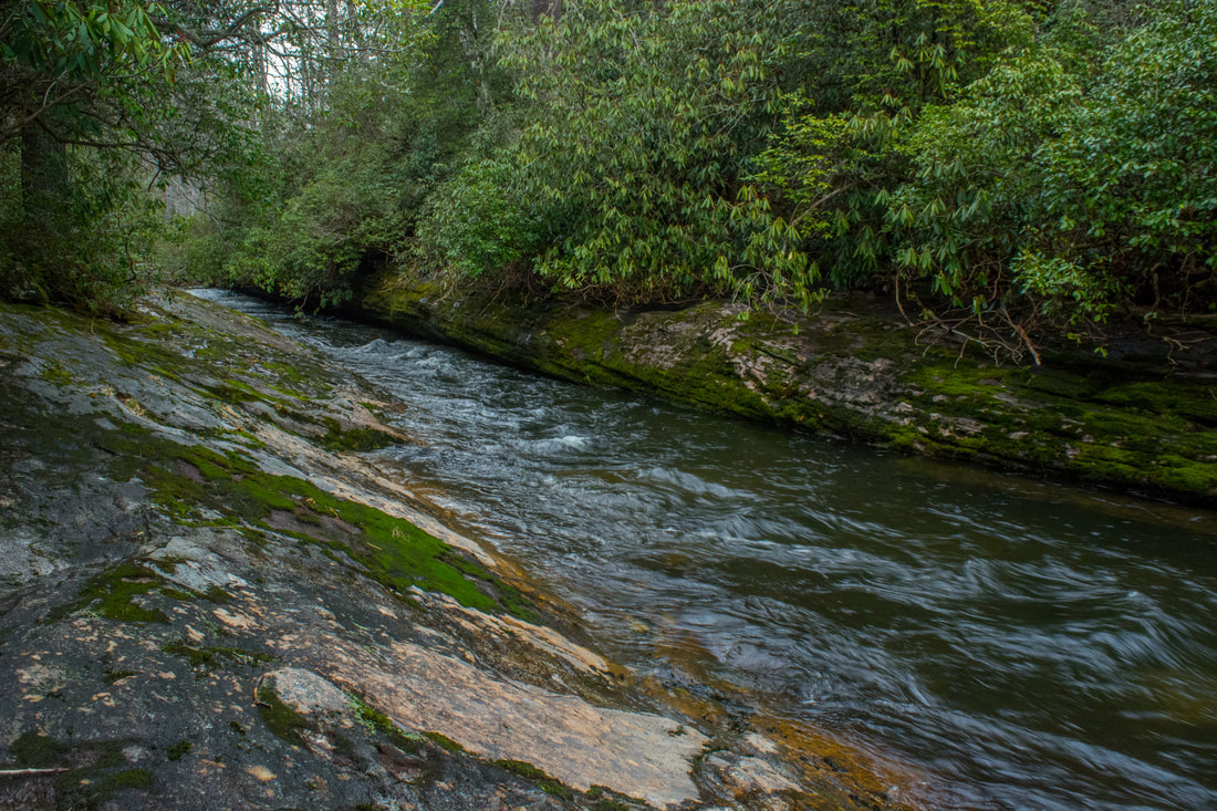
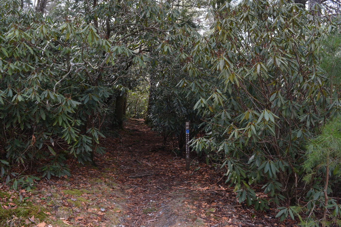
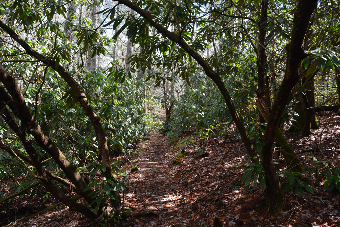
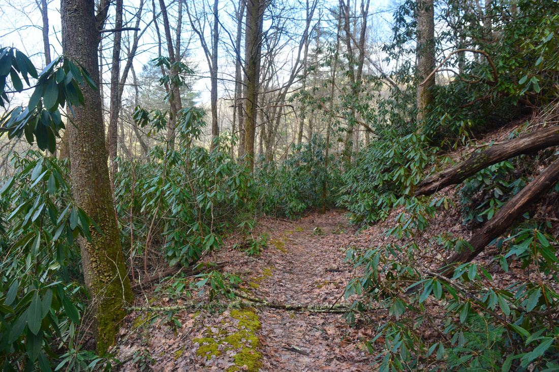
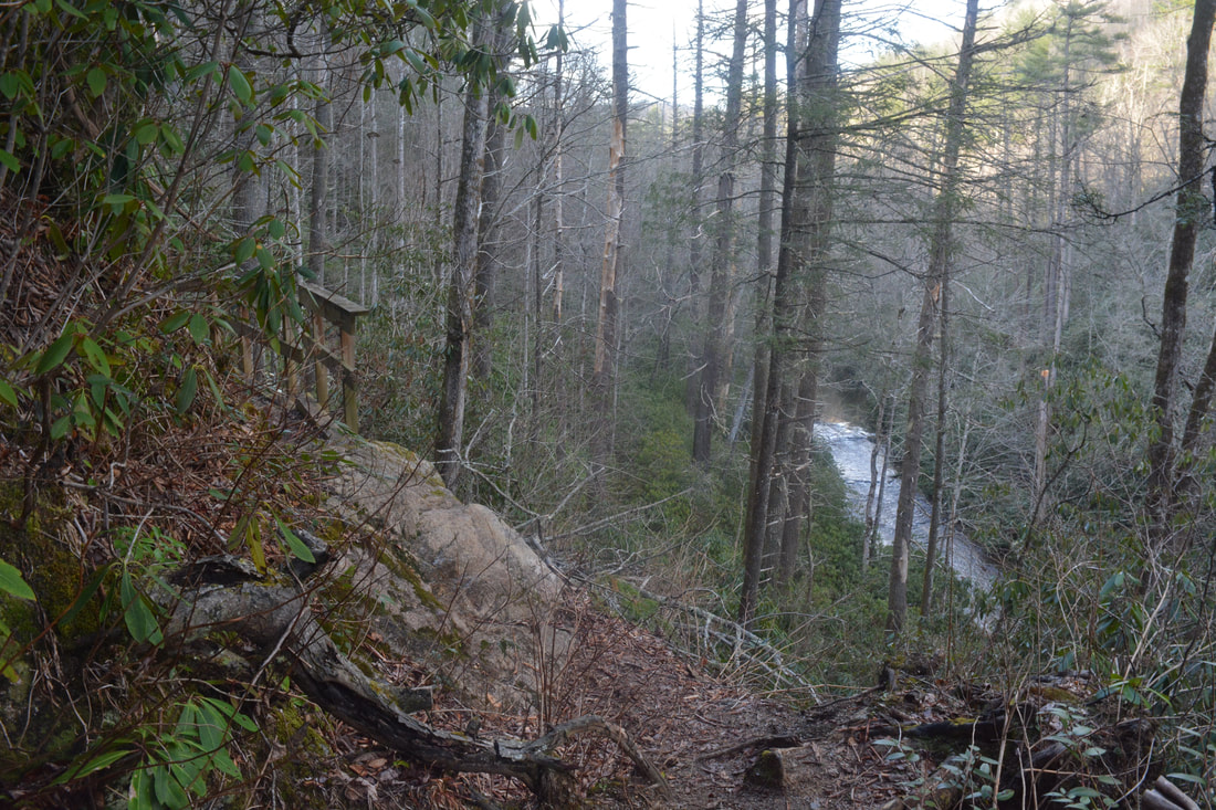
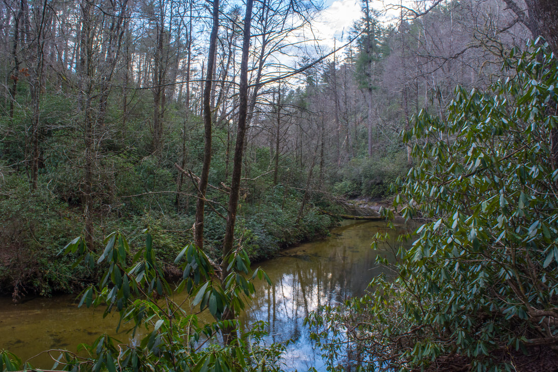
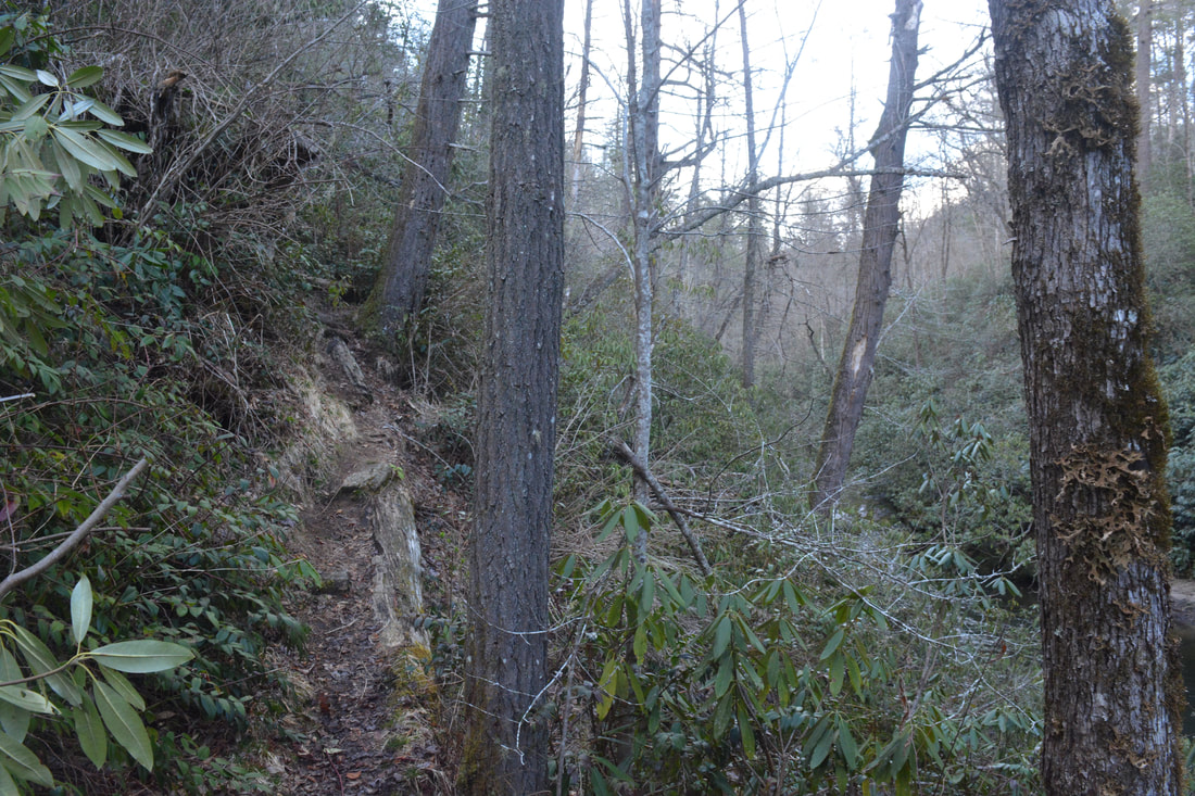
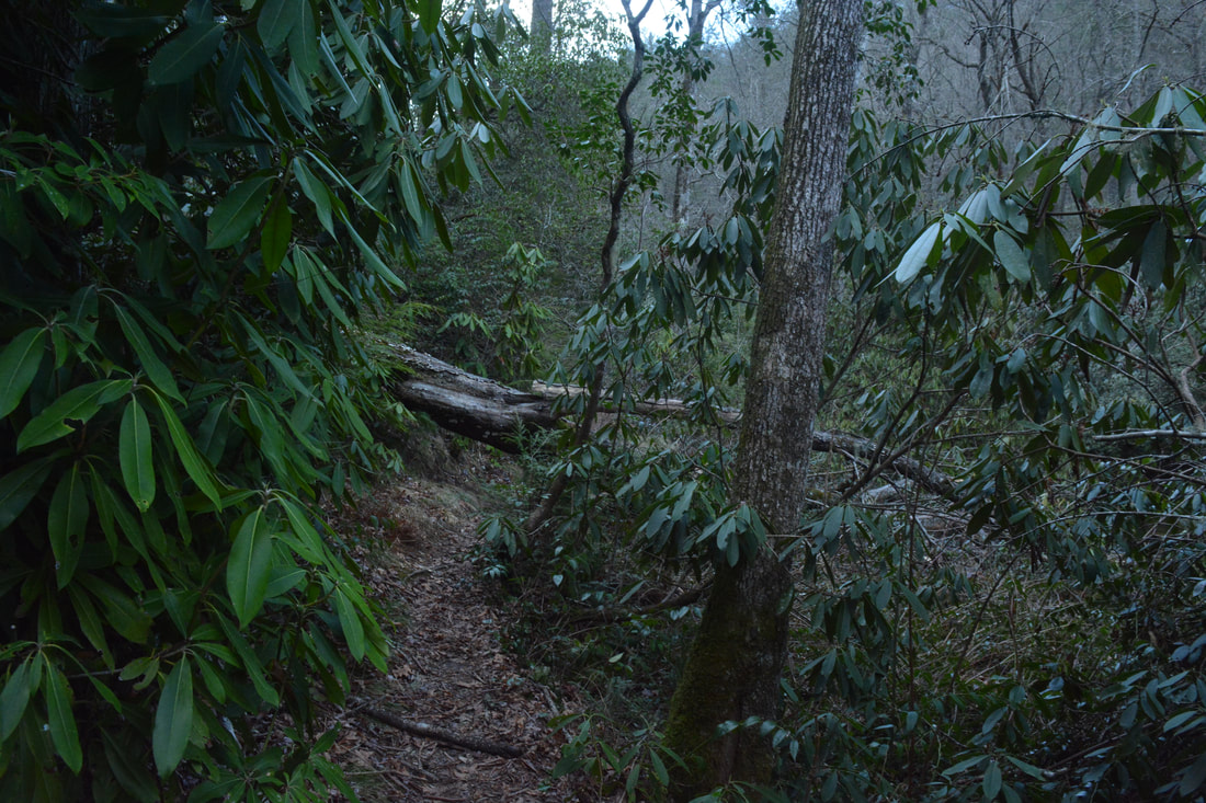
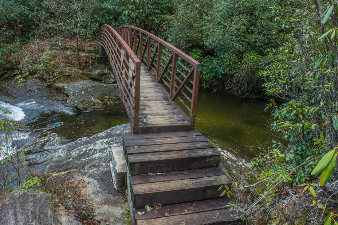
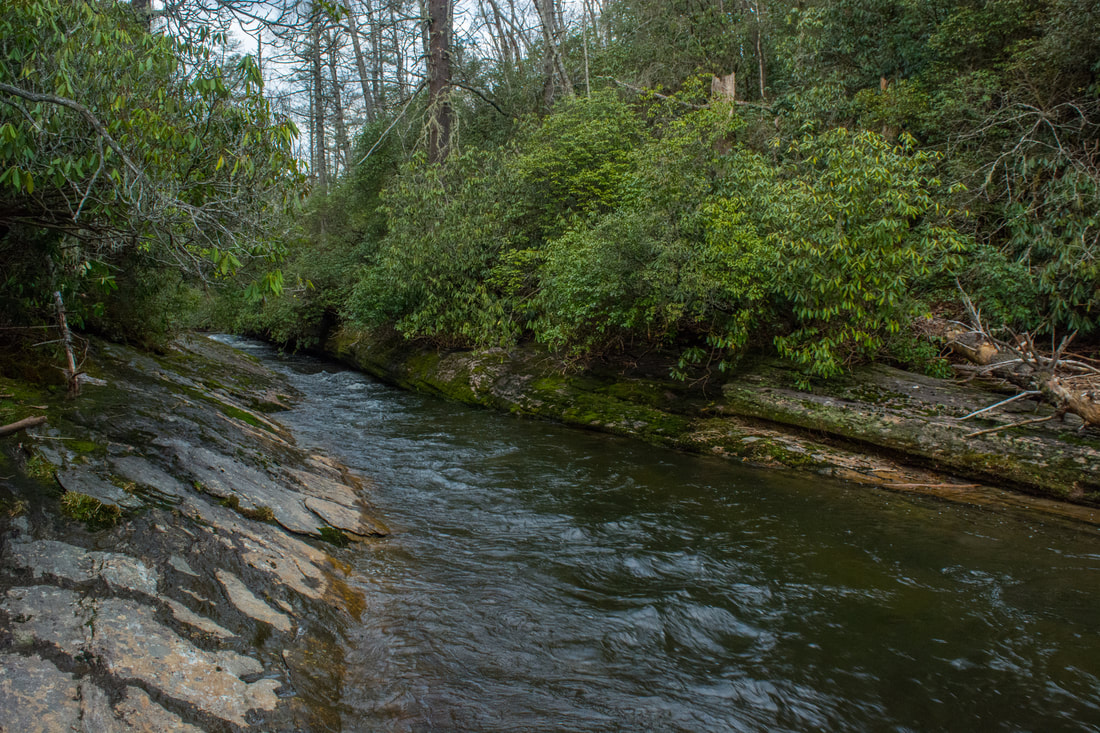
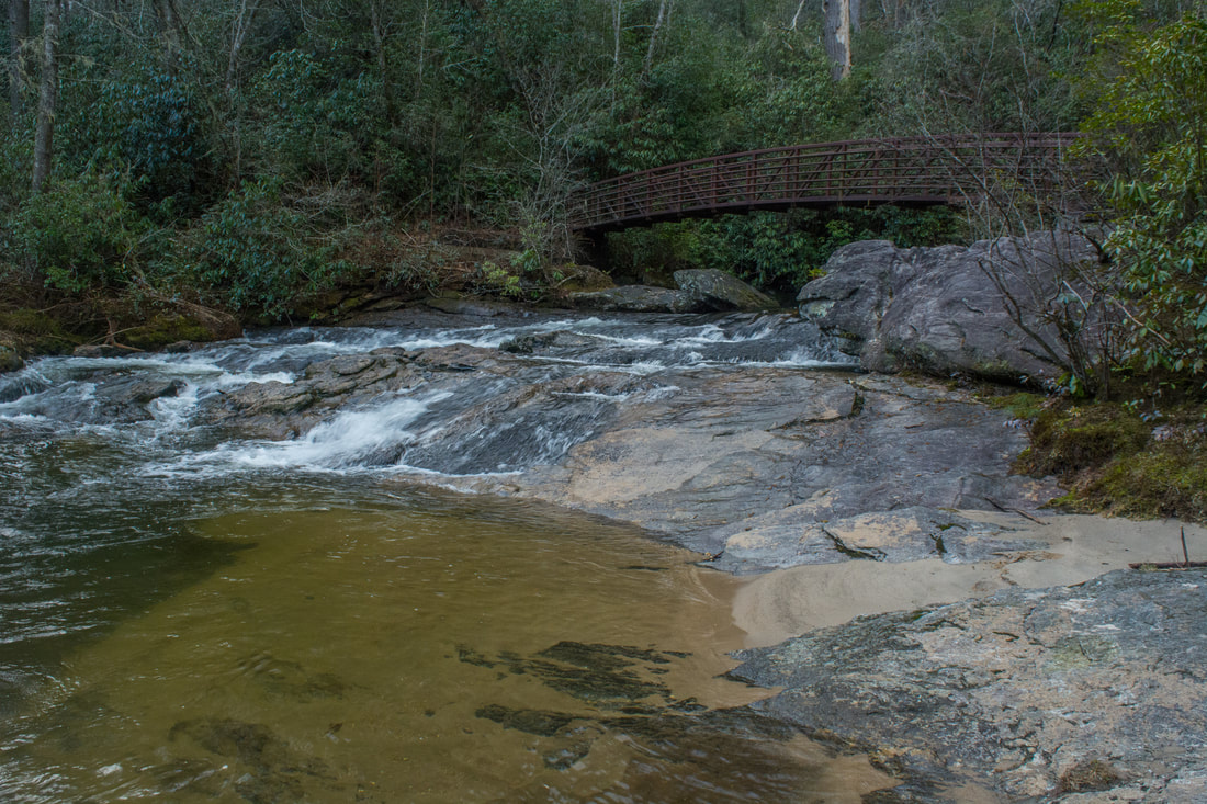
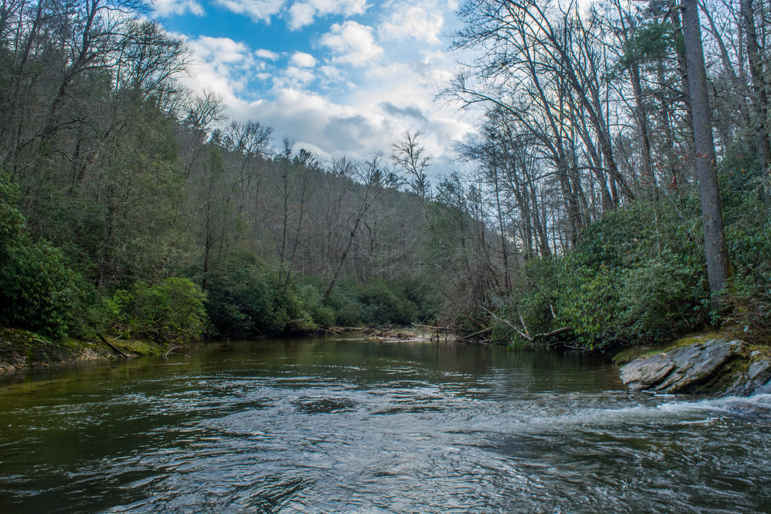
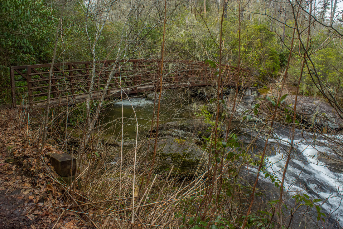
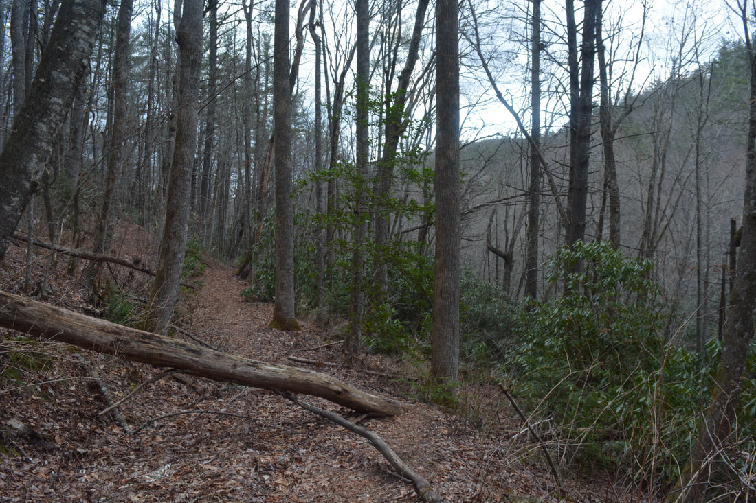
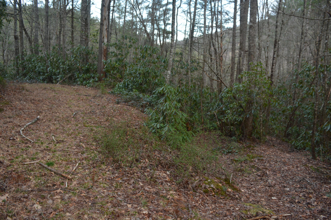
The Chattooga River Trail starts out on an obvious path at the west end of the Whiteside Cove Road parking area. As it begins ascending to a ridge, it passes a boater registration kiosk. At 0.45 miles, as the trail approaches its high point, it swings into the Chattooga River Gorge. The river becomes audible far below, and you might even catch a couple glimpses. Reach a signed split at 0.7 miles, where a side path to the Whiteside Church goes straight. Stay left on the main trail. The rhododendron-lined path begins a slow descent into the gorge. At 0.85 miles, an obscure path leaves left - that's the unofficial Green Creek Trail, a 0.3-mile river access path that follows an old roadbed used primarily by kayakers. The Green Creek Trail is also the access to Corkscrew Falls, described further down this page. Hikers headed to the narrows or Cane Creek Falls will want to stay on the Chattooga River Trail. Around 1.3 miles, the trail begins to parallel the Chattooga River. The trail then reaches the river in a tranquil section at 1.4 miles. Between this point and the Norton Mill Creek confluence, the trail follows the banks of the Chattooga closely, providing numerous views of the river's cascades and pools. Although the trail remains mostly easy and level, it does occasionally scramble up and down steep banks to avoid crossing the river. At 2.6 miles, the Chattooga River Trail reaches a steel footbridge across Norton Mill Creek, a major tributary of the Chattooga River. Before crossing the footbridge, be sure to take the short side trip to the upper narrows of the Chattooga, as this is one of the hike's more scenic spots. The best way to get there is to scramble down the open rock to the left of the bridge. At the bottom, there's a good view of the narrows. This is a unique place where the Chattooga River gets squeezed into a narrow chute only a few feet wide at its narrowest point. The open rocks by the narrows and the confluence are great for lounging. Two more sets of narrows are farther downstream on the Chattooga, but both are harder to reach. The middle narrows are just above the Cane Creek confluence. The lower narrows are actually a true slot canyon and are quite spectacular. The slot canyon is located off-trail on the Chattooga downstream from Cane Creek. For more access information regarding the slot canyon, click here. Meanwhile, back on the main trail, cross the Norton Mill Creek footbridge. Just above the footbridge is a small, scenic cascade on Norton Mill Creek. I've seen references to this cascade as Lower Norton Mill Creek Falls, but it's quite a stretch to call this a waterfall! A high waterfall is located on Norton Mill Creek well upstream on the slopes of Whiteside Mountain above Whiteside Cove Road. It's very difficult to legally reach. 
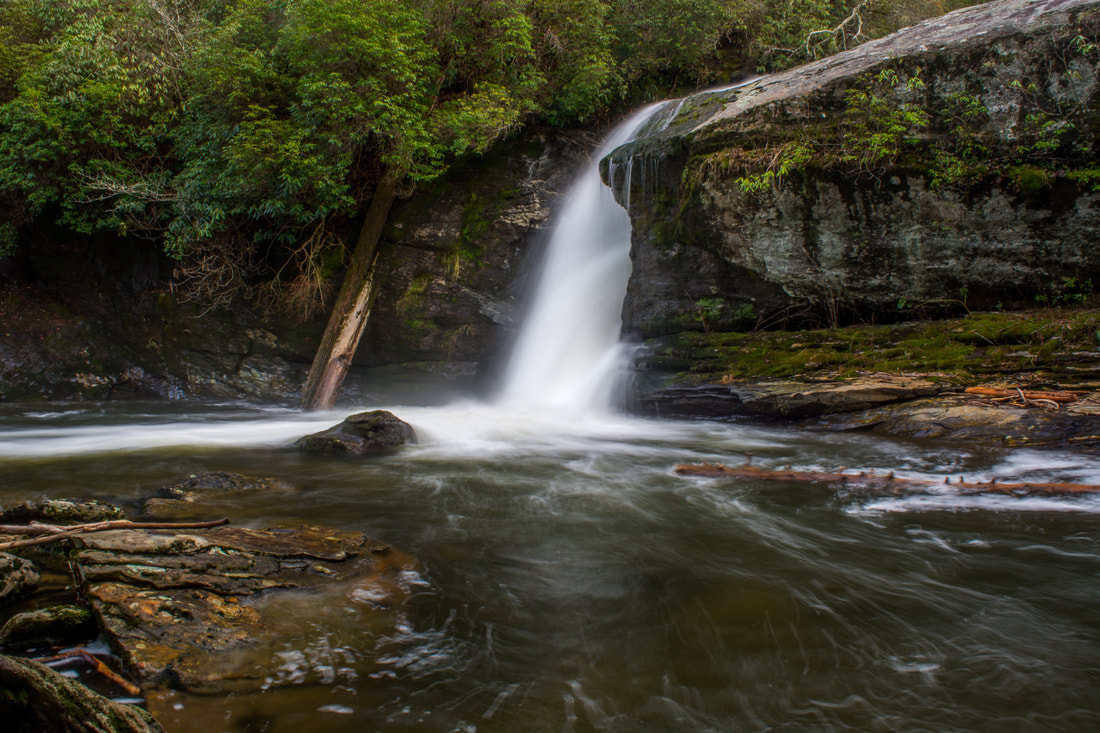
A tributary of the Chattooga River, Cane Creek is home to a scenic 25-foot waterfall
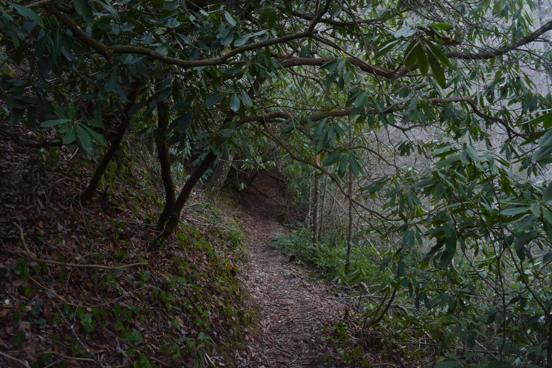
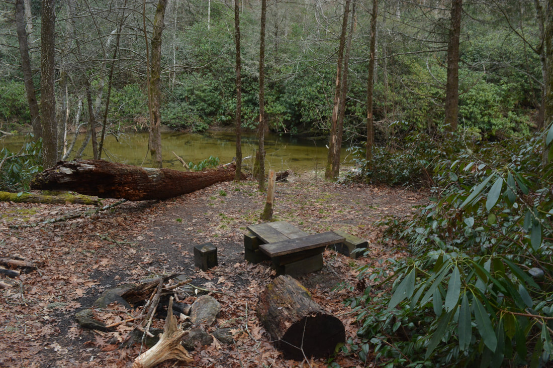
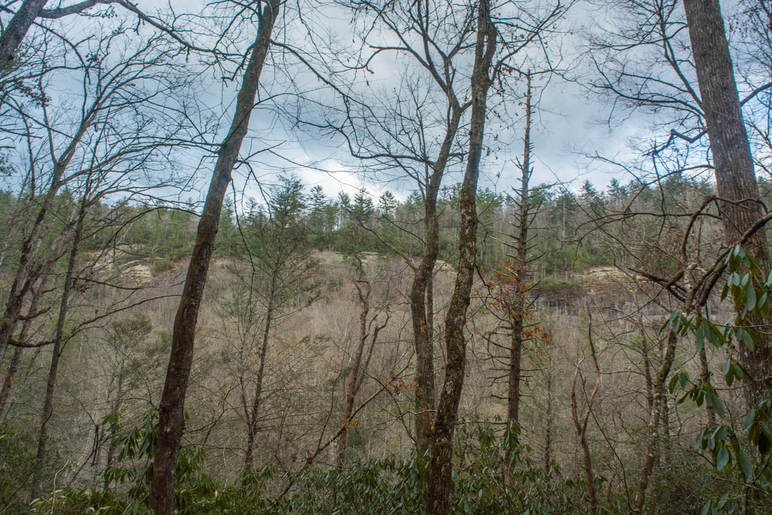
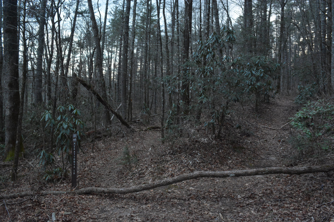
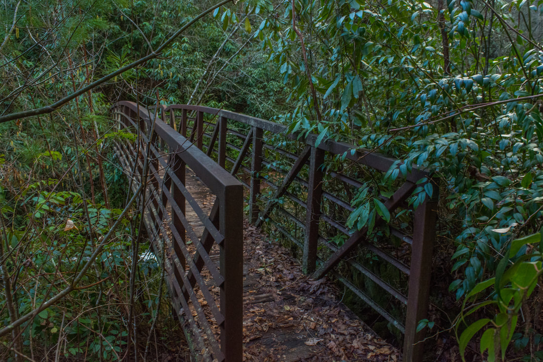
Just past the Norton Mill Creek footbridge is an amazing riverside campsite on the left. It's in a superb location just below the narrows and the tributary confluence, and there is a large pool for wading or swimming as well. However, it's a small site, so I imagine that it fills up fast - particularly on good summer weekends. Meanwhile, the main trail begins to rise away from the Chattooga River, joining an old roadbed running about 100 feet above the river. Although there are few river views in this section of the trail, there are many great wintertime views toward the towering Chattooga Cliffs on the east side of the gorge - a good reason to do this hike in winter. At 3.2 miles, a carsonite stake reading "CHATTOOGA TR" points out the trail as it bears left off the main roadbed. The unofficial County Line Trail bears right and follows the old roadbed for less than two miles to a trailhead on Whiteside Cove Road at the Macon/Jackson County Line. Although that trail is also primarily used by kayakers, it can make for a good hiking access to the river too. Meanwhile, along the main trail, a steep, eroded path drops down to the river at 3.4 miles. This kayakers' access path leads to a view of the middle narrows. The main trail soon curves into the Cane Creek watershed and passes through a muddy area. At 3.6 miles, the trail reaches a steel footbridge across Cane Creek. About 50 feet before the footbridge, a distinct path leaves right to a small campsite - this is the way to Cane Creek Falls.
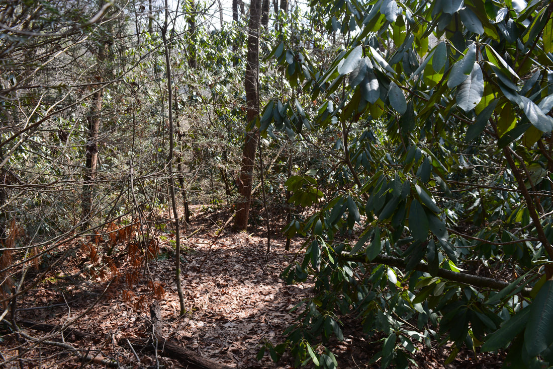
The Chattooga River Trail continues 1.7 miles to the trailhead at Bullpen Bridge, but this hike turns on the Cane Creek Falls path. The path continues past the campsite, following an old roadbed through a rhododendron tunnel. Around 3.65 miles, you might catch a glimpse of a sliding waterfall on Cane Creek. This is not Cane Creek Falls and there is no way to get to it that is worth the effort. Right after a left turn, the path reaches a diagonal crossing of Cane Creek just above the Holly Branch confluence at 3.75 miles. If the water is up, this will be a shallow wade (you might get across dry if you have boots on). On the other side, the path ascends one-tenth of a mile to FS 2052 at 3.85 miles. Turn sharply right on FS 2052. This grassy forest road is closed to vehicles but is very broad and open, making it easy to follow. The forest road continues to slowly ascend up the Cane Creek valley, staying above the rhododendron jungles near the creek. At 4.1 miles, you'll reach the place where you need to leave the road and bushwhack down to Cane Creek Falls. There aren't really any good landmarks for this spot, but if the leaves are off, you might be able to see a bit of Cane Creek Falls through the trees a little farther. You can definitely hear it. The coordinates for the place to leave the forest road are N35° 02.019' W83° 08.222'. Once you leave the road, simply bushwhack down the steep slope in a near-straight line to the creek. The forest is pretty thick, but experienced hikers shouldn't have too much trouble making their way down the route of least resistance (there is a semblance of a path in places). It's only 200 feet at the creek. From there, Cane Creek Falls is only 150 feet upstream. However, the walk along the creek is pretty tough, as it features lots of dog hobble and mud holes. If it's warm enough, it's probably best to stay in the creek-bed the whole way, but you'll definitely get wet. I guess it's a choice between wading through water or wading through dog hobble! Either way, this is the best route. Steep slopes and cliffs near the falls make it impossible to come down closer. Reach Cane Creek Falls at just over 4.15 miles. Cane Creek Falls is a scenic vertical waterfall about 25 feet high. The upper section is a short free-fall. Although the waterfall isn't anything particularly outstanding, I like the secluded setting that is formed by the sheer rock wall on the left side and the rhododendron thickets surrounding the falls. Even though Cane Creek Falls is less than 0.1 mile from FS 2052, most people who walk the road and the path that follows to get to the Chattooga River probably have no clue that the waterfall exists. The FS 2052 access from Whiteside Cove Road is a much shorter hike, if one wants to see just Cane Creek Falls. In fact, it's only 0.6 miles one way along FS 2052 from Whiteside Cove Road to the Cane Creek Falls bushwhack. The entire way is obvious and pretty easy. FS 2052 can also serve as a great way to break up this section of the Chattooga River Trail into two. For the hike described in this report, simply retrace your steps back along the Chattooga River Trail from Cane Creek Falls to Whiteside Cove Road. Corkscrew Falls
One of the best-kept secrets of the Chattooga River is Corkscrew Falls. This amazing 25-foot waterfall is located on the mighty river itself about 100 feet above the Green Creek confluence. Sadly, Corkscrew Falls is just barely inside private property. I'm including this info so that others who research Corkscrew Falls can know exactly what to expect. The Chattooga River becomes private at the Green Creek confluence. The property boundary was unposted as of February 2018, but that doesn't make it legal to enter it. You can get a distant glimpse of Corkscrew Falls from the Green Creek confluence and still stay on USFS land, but if you'd go any farther, you'd be trespassing. In addition, it's pretty tough to get to that point too, although experienced waterfallers won't have too much trouble. The best way to get there is to follow the Chattooga River upstream from the end of the Green Creek Trail. Most of the way, it's easier to follow the River Left side. It would be great if some sort of permission can be obtained for hikers to access Corkscrew Falls. It's a stunning waterfall, where the entire river gets squeezed into a narrow cleft at the end of a lengthy cliff. If you talk to the landowner of Corkscrew Falls and get permission to access this gem, please let me know!
Corkscrew Falls is an amazing 25-foot waterfall on the mighty Chattooga River. Unfortunately, it's on private property.
Mileage
0.0 - Whiteside Cove Road
1.4 - Chattooga River 2.6 - Norton Mill Creek & Upper Narrows 3.6 - Cane Creek 4.15 - Cane Creek Falls 8.3 - Whiteside Cove Road Variations
Hike out and back to Cane Creek Falls via the short way - 1.3 Miles
Hike out and back to Cane Creek Falls, Norton Mill Creek confluence, and Upper Narrows via the short way - 4.3 Miles Extend the main hike to Bullpen Bridge - 11.7 Miles Bonus Stops
Consider checking out Scotsman Falls along Bull Pen Road the same day, just as I did.
Pictures & Videos
2 Comments
Greg Ford
5/16/2018 09:30:34 pm
Excellent summary and trail log!
Rod Baird
4/7/2020 10:59:42 am
Thanks for the excellent post - otherwise we'd have skipped the Green Creek Trail - both an excellent view, and probably infrequently visited. Leave a Reply. |
About MeMark Oleg Ozboyd Dear readers: I have invested a tremendous amount of time and effort in this website and the Georgia Waterfalls Database the past five years. All of the work that has gone in keeping these websites updated with my latest trip reports has almost been like a full-time job. This has not allowed me to pick up a paid job to save up money for college, and therefore, I I've had to take out loans. If you find the information on this website interesting, helpful, or time-saving, you can say "thanks" and help me out by clicking the button above and making a contribution. I will be very grateful for any amount of support you give, as all of it will apply toward my college tuition. Thank you!

Coming in 2022-2023?
Other Hiking WebsitesMiles HikedYear 1: 540.0 Miles
Year 2: 552.3 Miles Year 3: 518.4 Miles Year 4: 482.4 Miles Year 5: 259.9 Miles Archives
March 2021
Categories
All
|
||


 RSS Feed