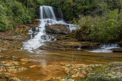
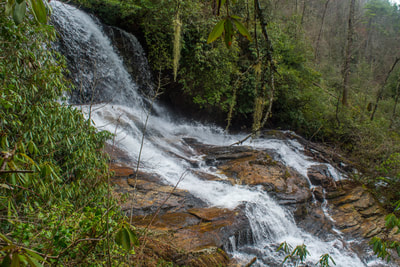
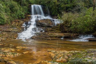
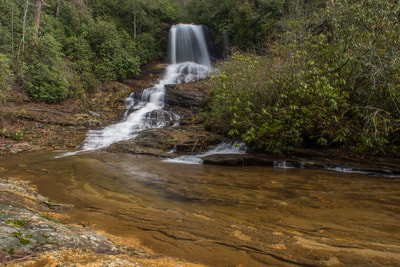
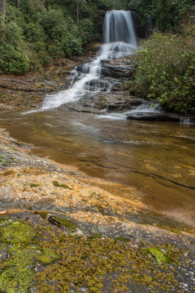
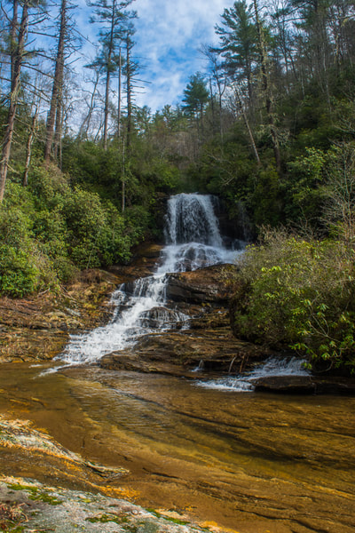
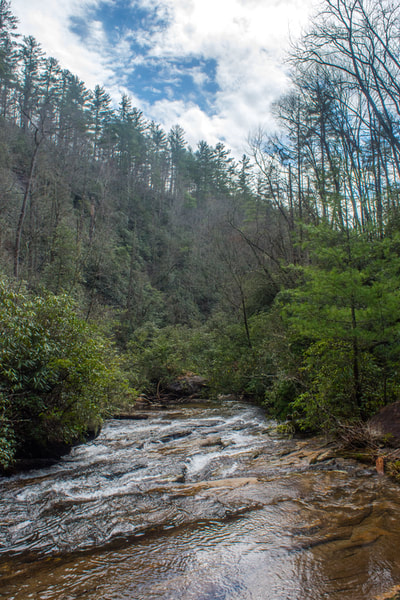
A major tributary of the Chattooga River, Scotsman Creek runs alongside Bull Pen Road and drops over three waterfalls on its way to the river. The highlight is Scotsman Falls, an impressive 45-foot waterfall where the stream first free-falls over a sheer ledge and then cascades down a stairstep rock face. Near the base of Scotsman Falls, the creek splits around a densely-vegetated island. As the forks rejoin, Scotsman Creek tumbles swiftly out of sight, shortly coming over the less scenic Lower Scotsman Falls before dumping into the Chattooga. A steep path leads to Scotsman Falls from Bull Pen Road. The path is quite short and easy to follow, although visitors will need to make a rough, muddy scramble at the end. This hike occurred on Saturday, February 24th, 2018. My plan was to hike out and back to Scotsman Falls before embarking on a longer hike along the Chattooga River Trail later in the day.
Summary
R/T Length of Trail: 0.2 Miles
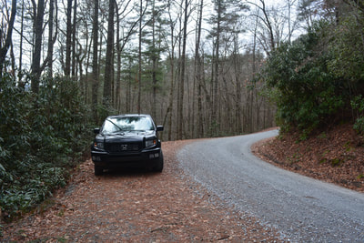
Duration of Hike: 0:30 plus 40 minutes of photography Type of Hike: Out and Back Difficulty Rating: 6 out of 10 Total Elevation Gain: 132 Feet Pros: Short walk to beautiful hidden waterfall Cons: The last part of the path is a very muddy and slick scramble Points of Interest: Scotsman Falls - 6 stars Trail Blaze Colors: None (not an official trail) Best Seasons to Hike: Spring Fees: None Beginning Point: Bullpen Road pullout Directions from Highlands, NC: From the intersection of Main Street and 4th Street in downtown Highlands, follow Main Street East (which turns into Horse Cove Road) for 4.6 miles. Then, at the Y-split where Whiteside Cove Road bears left, bear right onto Bull Pen Road toward Bullpen Bridge. This road has an unpaved section, but it is in excellent shape, and the road becomes paved again closer to the bridge. Continue on it for 3.1 miles to Bullpen Bridge across the Chattooga River. Cross the bridge and continue along the again-unpaved road for another 1.1 miles to a pullout on the right near Scotsman Falls. The pullout is located at a left-hand curve in the road at a point where it begins to parallel Scotsman Creek. In the winter, you might spot Scotsman Falls through the trees before the pullout. Map
Click the link below to download a .GPX file with a track of this hike.
Details
Scotsman Falls is one of the hidden gems of the Highlands area that is relatively easy and quick to reach. Many folks who travel Bullpen Road and visit Pothole Falls by Bullpen Bridge don't know that another beautiful waterfall can be seen off the same road.
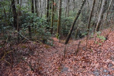
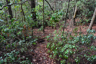
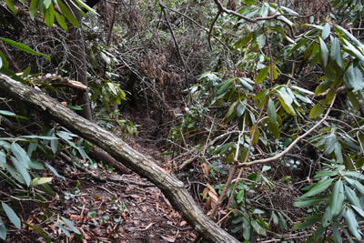
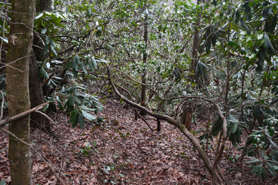
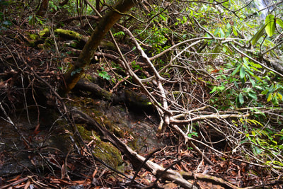
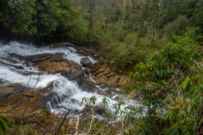
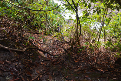
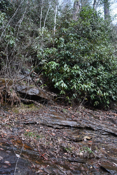
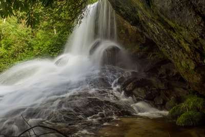
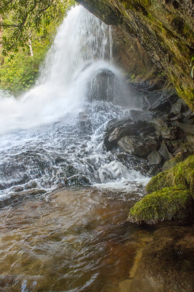
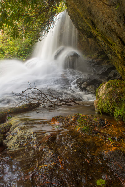
The hike begins on a narrow path less than 100 feet west of the parking pullout (heading back toward Bullpen Bridge). The path starts dropping steeply off the road just to the right of a double pine tree. Although the path is narrow and somewhat faint, it remains easy to follow for the time being as it heads down toward the creek just to the right of a ridge. About 300 feet from the road, the path makes an abrupt right turn and enters a muddy stretch. 100 feet farther, the path reaches an open side view of Scotsman Falls. Here, the path bears right and makes an extremely slick, muddy, and steep descent down to the rock slab at the base of the falls. The last bit involves dropping down a small but slippery ledge. Although there's a path of sorts the entire way to Scotsman Falls from Bullpen Road, you'll need to be prepared to get dirty and do some steep scrambling. Once at the base, you can walk down the bedrock to get a more distant, panoramic view of Scotsman Falls. Scotsman Falls is a beautiful 45-foot waterfall. The upper tier is a 15-foot free-fall. One could walk behind the free-falling section if the water is low, although I don't recommend doing so due to the slick rocks and the fragile vegetation there. After the free-fall, the creek spreads out into a steep 30-foot cascade that slides down the stairstep rock face. A unique feature of Scotsman Falls is the thickly-vegetated island just below the falls. Near the base of the falls, the creek splits around the island. Both channels rejoin a short distance downstream and rush out of sight. Below Scotsman Falls is another waterfall called Lower Scotsman Falls. Although it's also fairly tall, it's not as scenic. It consists of several long sliding sections, the last of which ends right at the Chattooga River. Getting to it involves strictly creek-walking and bushwhacking. There is also an Upper Scotsman Falls. This scenic 10-foot drop is located right by Bullpen Road above Scotsman Falls. Simply retrace your steps back along the path to Bullpen Road, concluding the outing at 0.2 miles. Bonus Stops
Potholes Falls is a scenic roadside waterfall is on the Chattooga River itself. It's located right below Bullpen Bridge. Paths lead to several different vantage points. For a longer hike, you might consider doing a section of the Chattooga River Trail from Bullpen Bridge or Whiteside Cove Road. A side trip to Cane Creek Falls can be included along the way. Another possible hike from Bullpen Road is the Bad Creek Trail to Ellicott Rock (with an optional bushwhack to Fowler Creek Falls along the way).
Pictures & Videos
0 Comments
Leave a Reply. |
About MeMark Oleg Ozboyd Dear readers: I have invested a tremendous amount of time and effort in this website and the Georgia Waterfalls Database the past five years. All of the work that has gone in keeping these websites updated with my latest trip reports has almost been like a full-time job. This has not allowed me to pick up a paid job to save up money for college, and therefore, I I've had to take out loans. If you find the information on this website interesting, helpful, or time-saving, you can say "thanks" and help me out by clicking the button above and making a contribution. I will be very grateful for any amount of support you give, as all of it will apply toward my college tuition. Thank you!
Coming in 2022-2023?
Other Hiking WebsitesMiles HikedYear 1: 540.0 Miles
Year 2: 552.3 Miles Year 3: 518.4 Miles Year 4: 482.4 Miles Year 5: 259.9 Miles Archives
March 2021
Categories
All
|
||||||

 RSS Feed