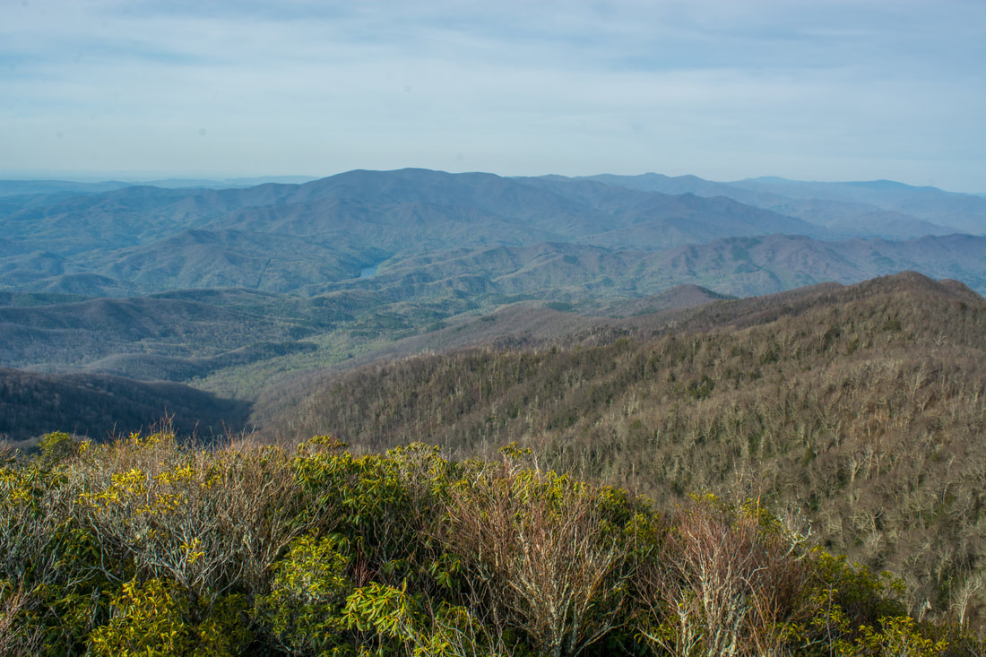
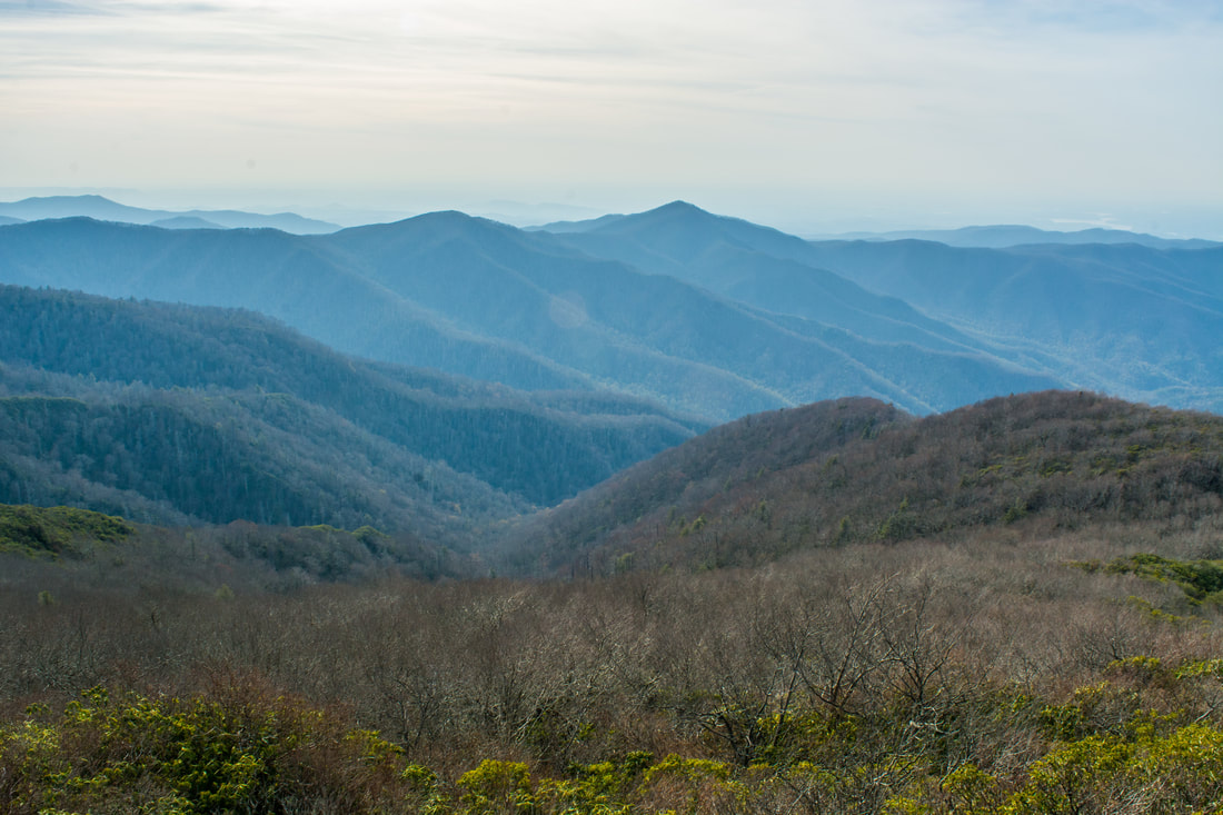
Right on the doorstep of the quaint town of Robbinsville is the Joyce Kilmer-Slickrock Wilderness, a massive wild area covering over 17,000 acres between the Cherohala Skyway and US 129. The area is known best for the Joyce Kilmer Memorial Forest - an area of virgin forest in the Little Santeetlah Creek watershed, featuring numerous old, grand trees. The wilderness area's central destination, however, is an inconspicuous rock outcropping on a lead below Haoe Bald called The Hangover. The Hangover features a breathtaking 360-degree view of the wilderness, with little in sight but endless mountain ridges and several lakes. The panoramic vista atop The Hangover encompasses Santeetlah Lake, Calderwood Lake, and the Little Tennessee River. This hike loops several trails from the Joyce Kilmer Recreation Area to visit The Hangover via the Memorial Forest. This hike occurred on Saturday, April 21st, 2018. My plan was to hike a clockwise loop with the Joyce Kilmer Memorial Forest Poplar Cove Trail, Naked Ground Trail, Haoe Lead Trail, and Jenkins Meadow Trail. I would of course take a side trip along the Hangover Lead Trail to The Hangover.
Summary
R/T Length of Trail: 13.5 Miles
Duration of Hike: 8:00 plus 2 hours of stopping and photography Type of Hike: Loop Difficulty Rating: 9 out of 10 Total Elevation Gain: 4209 Feet Pros: Huge tract of virgin forest; outstanding views; wilderness trail Cons: The 2016 Maple Springs Fire has left its mark on many sections of the hike, especially the Jenkins Meadow Trail Points of Interest: The Hangover View - 10+ stars; Virgin forest within the Joyce Kilmer Memorial Forest Trail Blaze Colors: None - wilderness trails are unblazed Best Seasons to Hike: Spring; Summer Fees: None Beginning Point: Joyce Kilmer Memorial Recreation Area Directions from Robbinsville, NC: From the intersection of US 129 and NC 143 just north of downtown Robbinsville, follow NC 143 West for 10.3 miles. Then, turn right onto Santeetlah Road. In 2.3 miles, turn left onto Joyce Kilmer Road. 200 feet farther is the small overnight parking area on the left, which also happens to be the Jenkins Meadow Trailhead. I suggest parking here so that you get the half-mile roadwalk out of the way first, but you can also drive to the end of the road and park in the main parking area for Joyce Kilmer Memorial. Map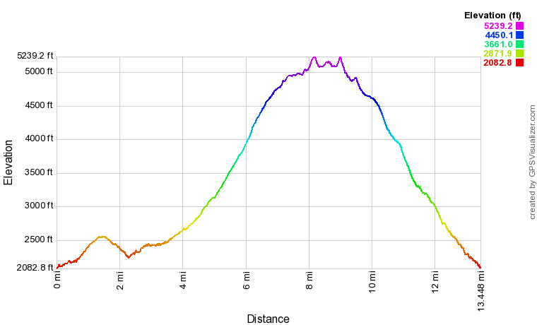
Click the link below to download a .GPX file with a track of this hike.
Details
I'd only briefly entered the Joyce Kilmer-Slickrock Wilderness once before when I went to Bob Bald from the Cherohala Skyway. I knew that I would need to make The Hangover the central destination of my first full-day hike in the wilderness. The main problem was choosing the route to take to this incredible vista. Ultimately, I decided that I wanted to see the Joyce Kilmer Memorial Forest on the same hike, so I chose a loop route that traveled through the virgin forest. The only thing that I didn't factor into my plans was the Maple Springs Fire of 2016, which I completely forgot about. I was a bit sad to see some of the fire damage throughout this hike, especially along the Jenkins Meadow Trail. Thankfully, The Hangover remained untouched. Despite the fire damage, I still highly recommend this hike to ambitious day hikers and backpackers - the forest will recover with time.
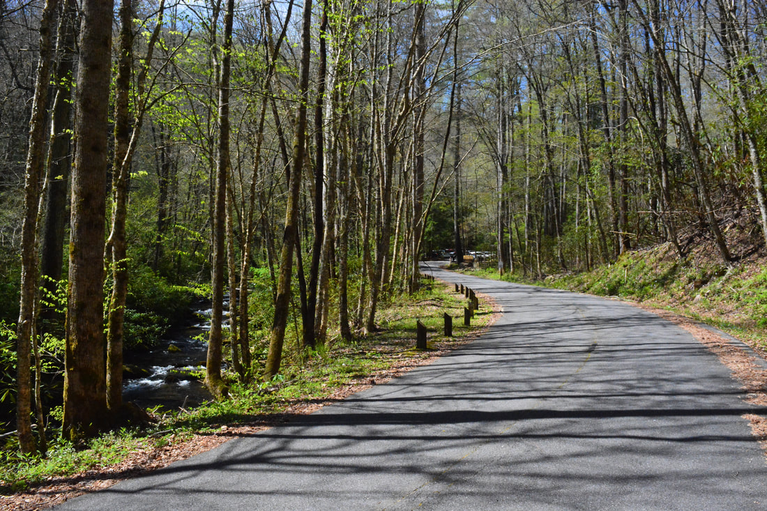
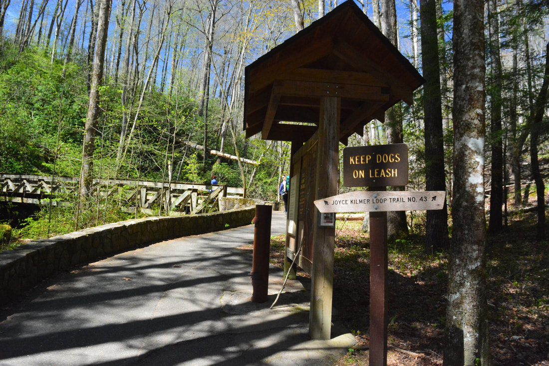
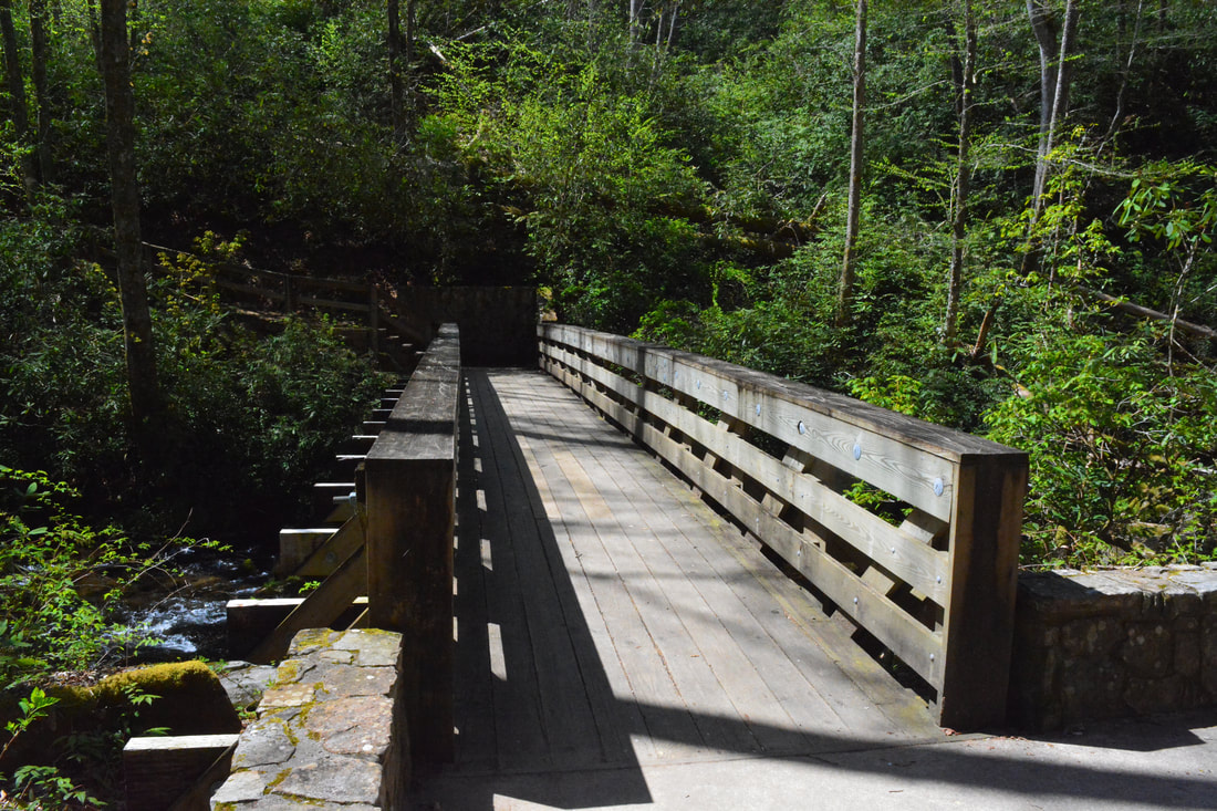
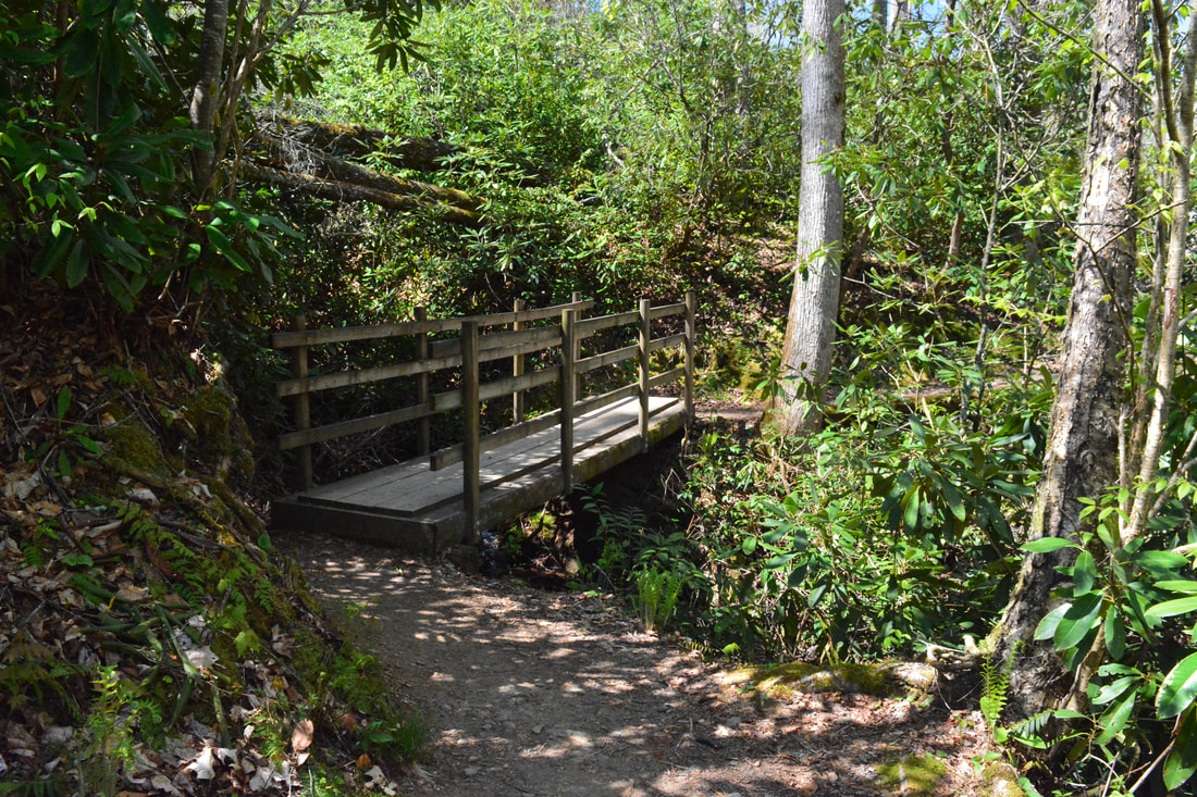
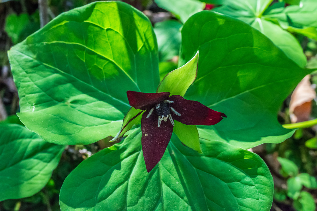
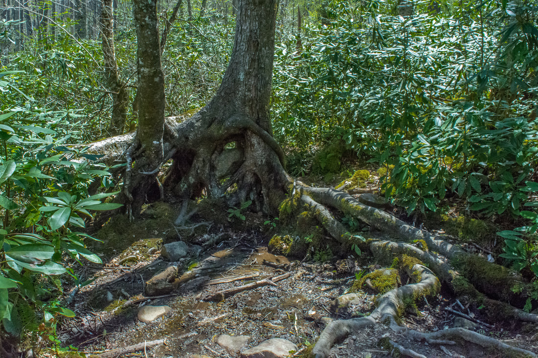
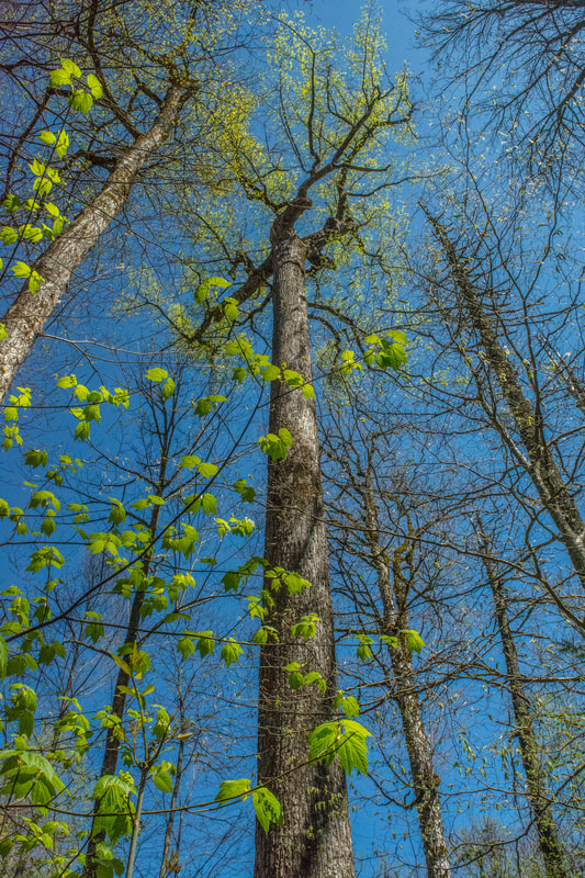
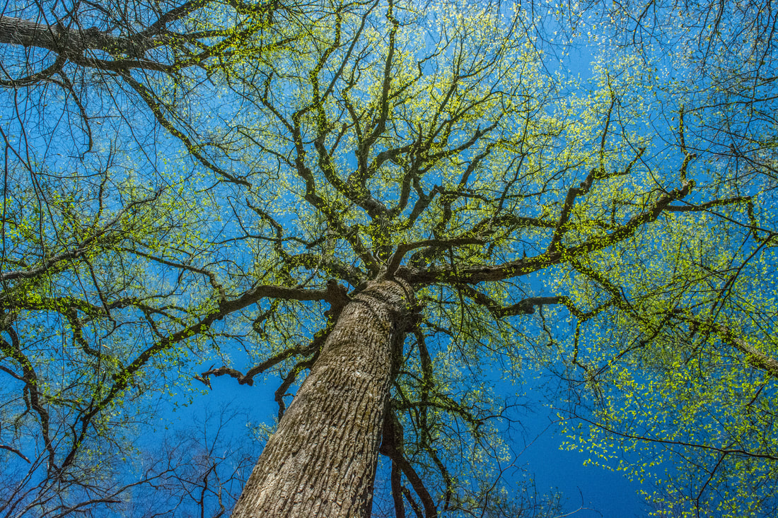
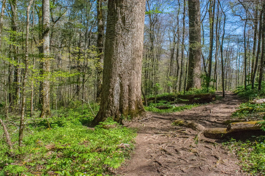
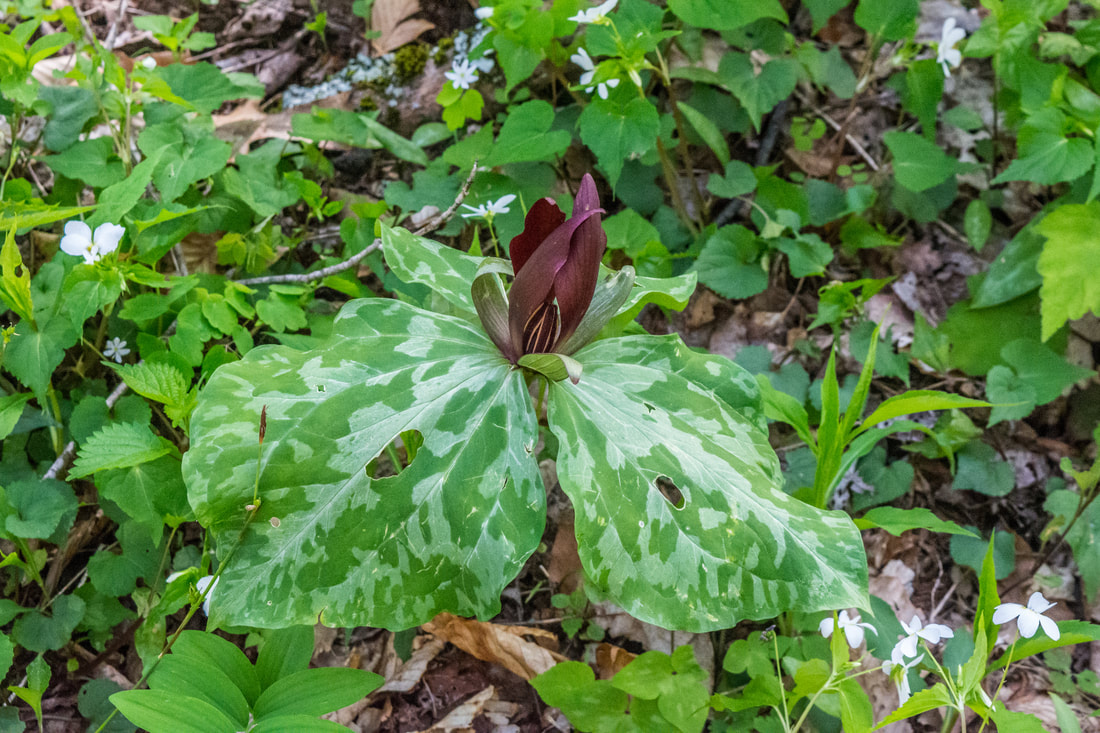
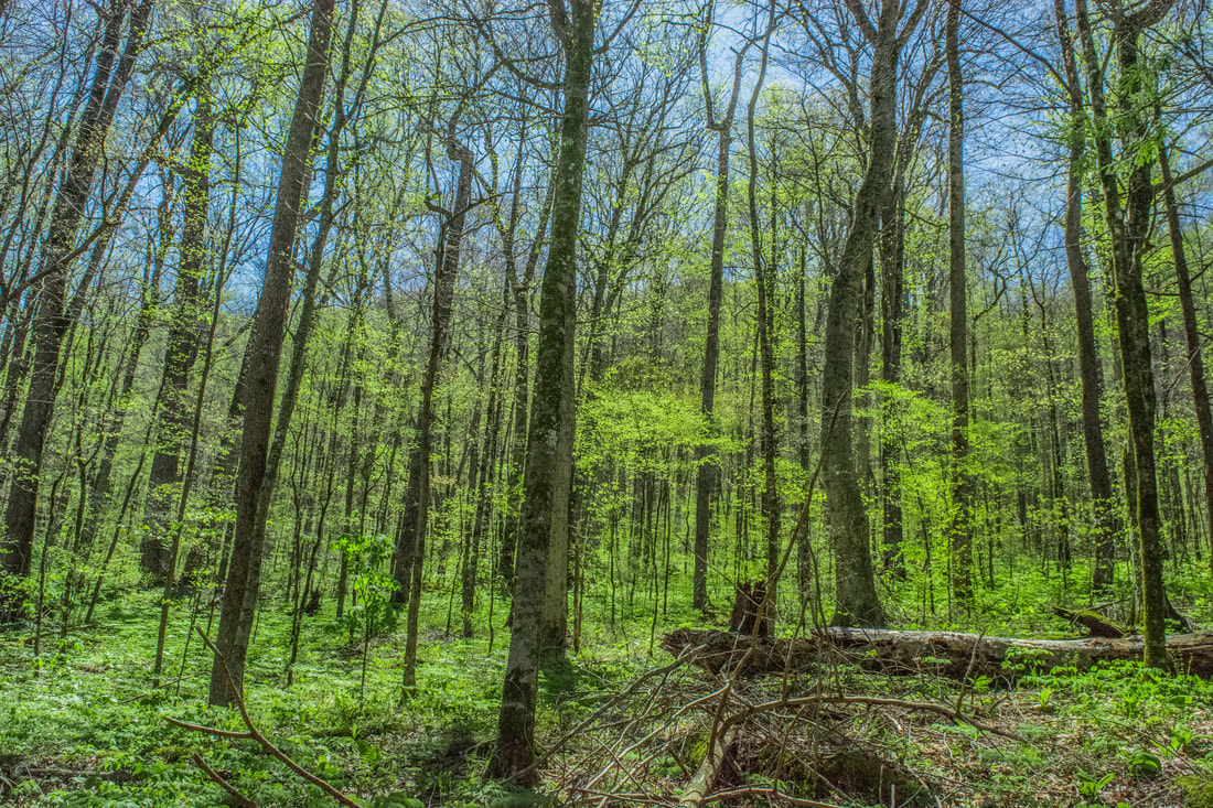
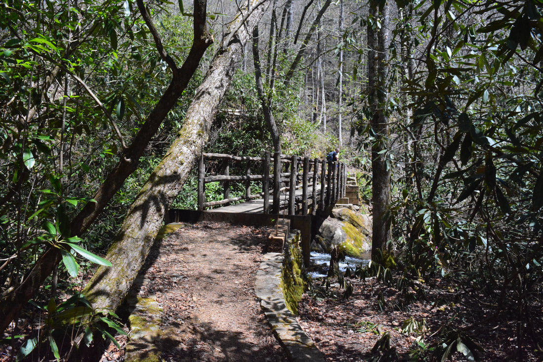
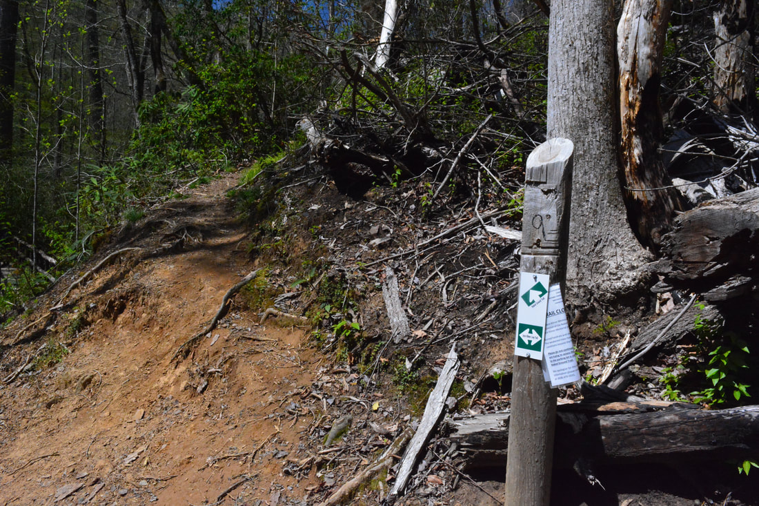
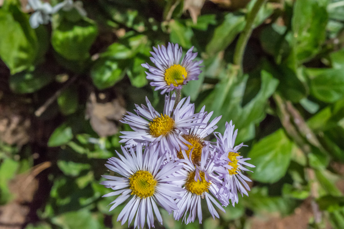
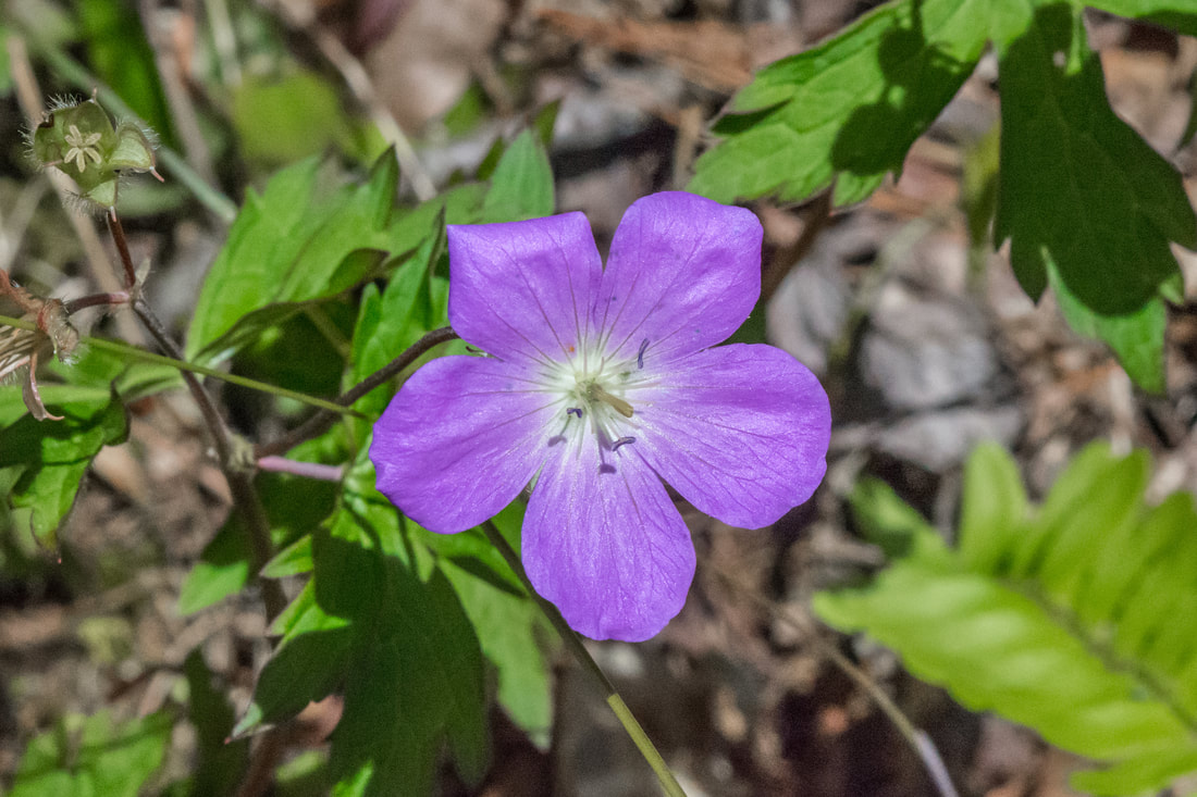
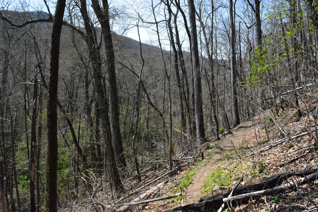
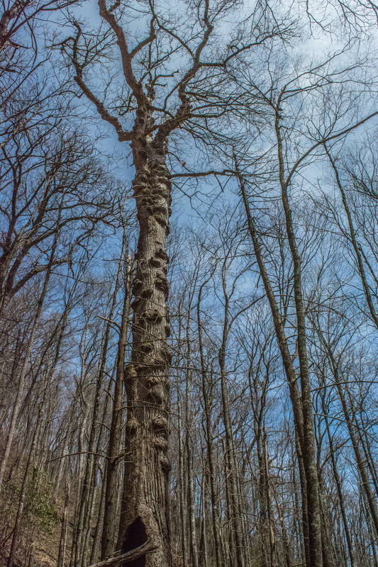
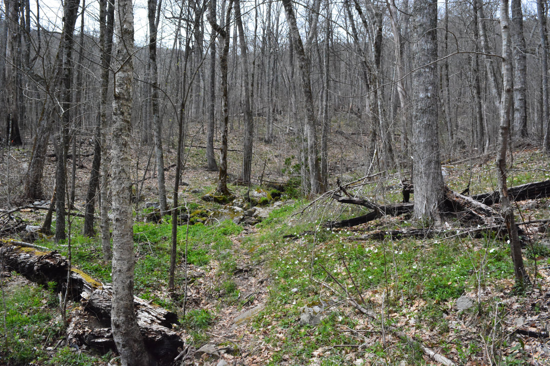
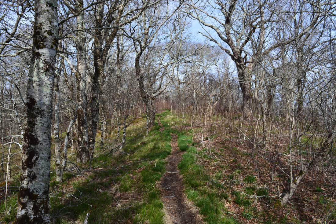
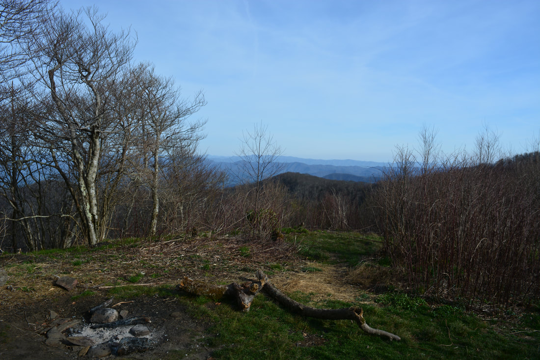
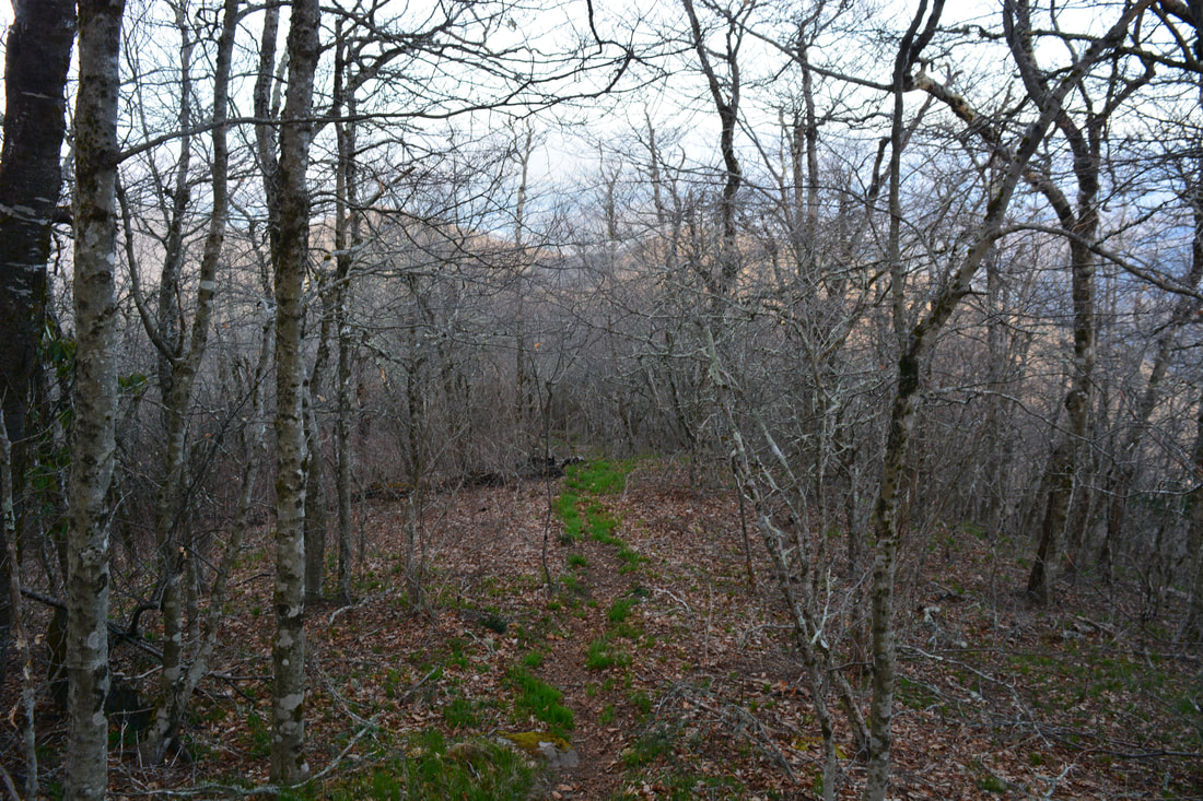
This great wilderness hike begins with a short walk along Joyce Kilmer Road. Of course, you could park at the main parking area and finish with the roadwak, but personally, I feel like it's nicer to start out with the roadwalk. Plus, if you're backpacking this loop, you're required to park at the overnight parking pullout by the start of the Jenkins Meadow Trail. I was doing it as a day hike, but I suspected that I would be finishing in darkness, so I chose to park here just in case. Also, I recommend hiking the loop clockwise like I did, as the ascent along the Naked Ground Trail is very well-graded. Thus, walk on Joyce Kilmer Road alongside Little Santeetlah Creek to the road's end in the Joyce Kilmer Memorial parking area at 0.5 miles. The obvious Poplar Cove Loop Trail into the Joyce Kilmer Memorial Forest begins straight ahead by a kiosk and a bridge across Little Santeetlah Creek. If you wish to skip the Poplar Cove Loop through the Memorial Forest, you can start the hike on the less-defined Naked Ground Trail to the right, but I think that you won't regret incorporating the huge trees along the Poplar Cove Loop into your hike. The well-used Poplar Cove Loop quickly begins ascending up a hollow on the southwest side of the Little Santeetlah Creek valley. The Lower Loop section of the trail doesn't feature any huge trees, but you will pass one tree with a very neat intricate root system on the left. At 1.1 miles, reach a junction with the Upper Poplar Cove Loop by another memorial for Joyce Kilmer. Stay left on the Upper Loop to hike it clockwise - you'll return to this spot soon. The Upper Poplar Cove Loop is where all the huge trees are. You'll pass over a dozen enormous poplars and oaks. As you crane your neck to see the tops of the trees, note how they spread their large, twisting branches high above at the forest canopy. Sadly, the forest used to be even more beautiful before the death of the chestnuts and hemlocks. In my opinion, the best time of year to visit the Joyce Kilmer Memorial Forest is mid-spring, when the leaves on the trees are just coming out, and the ground is carpeted in a profusion of ephemeral wildflowers and new plants. On my visit, I spotted three different varieties of trillium, as well as dwarf iris and wild geranium. Some of the biggest trees on the Poplar Cove Loop are around 1.5 miles near its highest elevation, 400 feet above the trailhead. Return to the Lower Loop junction at 1.9 miles; turn left toward the Naked Ground Trail. The trail descends back to Little Santeetlah Creek, crossing it on a wooden footbridge. Reach the Naked Ground Trail on the other side at 2.3 miles. To do the full hike to The Hangover, turn left. This is the start of a 3000-foot ascent to Haoe Bald and The Hangover. Thankfully, the climb is spread out across nearly six miles, so the grade is never worse than easy to moderate. 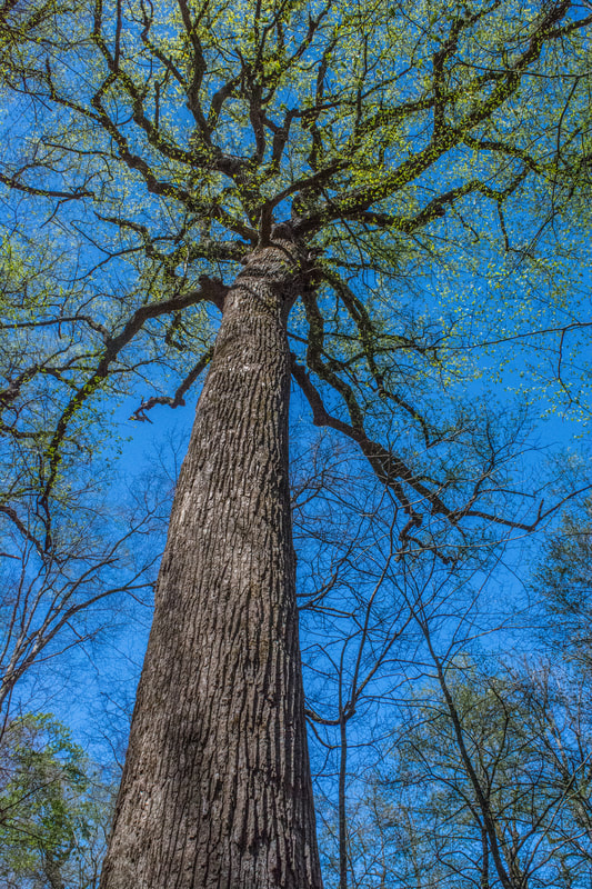
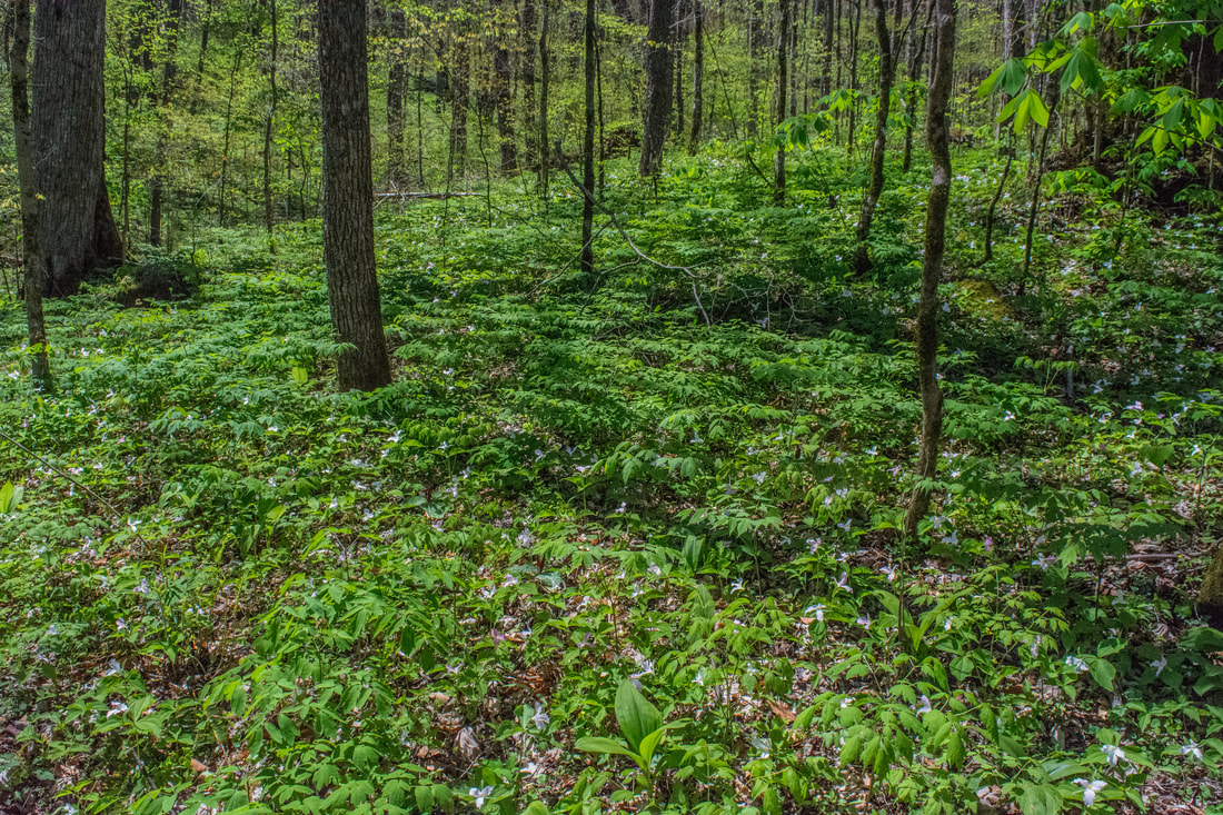
The Poplar Cove Loop in Joyce Kilmer Memorial Forest passes many enormous old-growth trees.
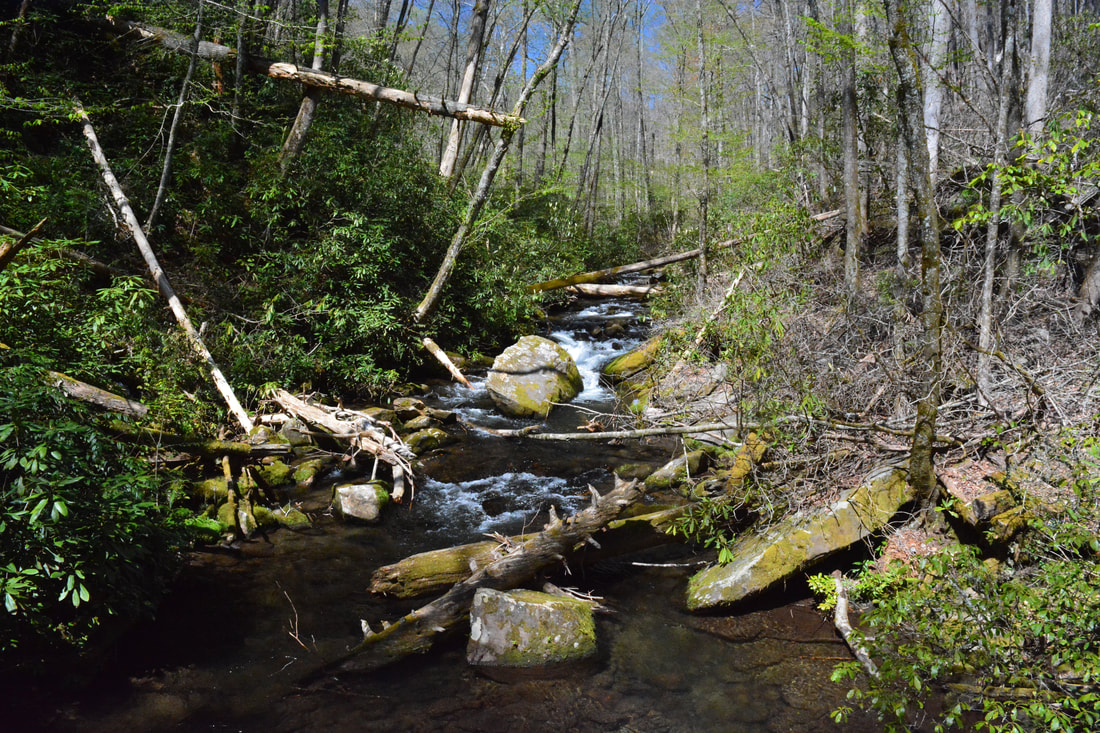
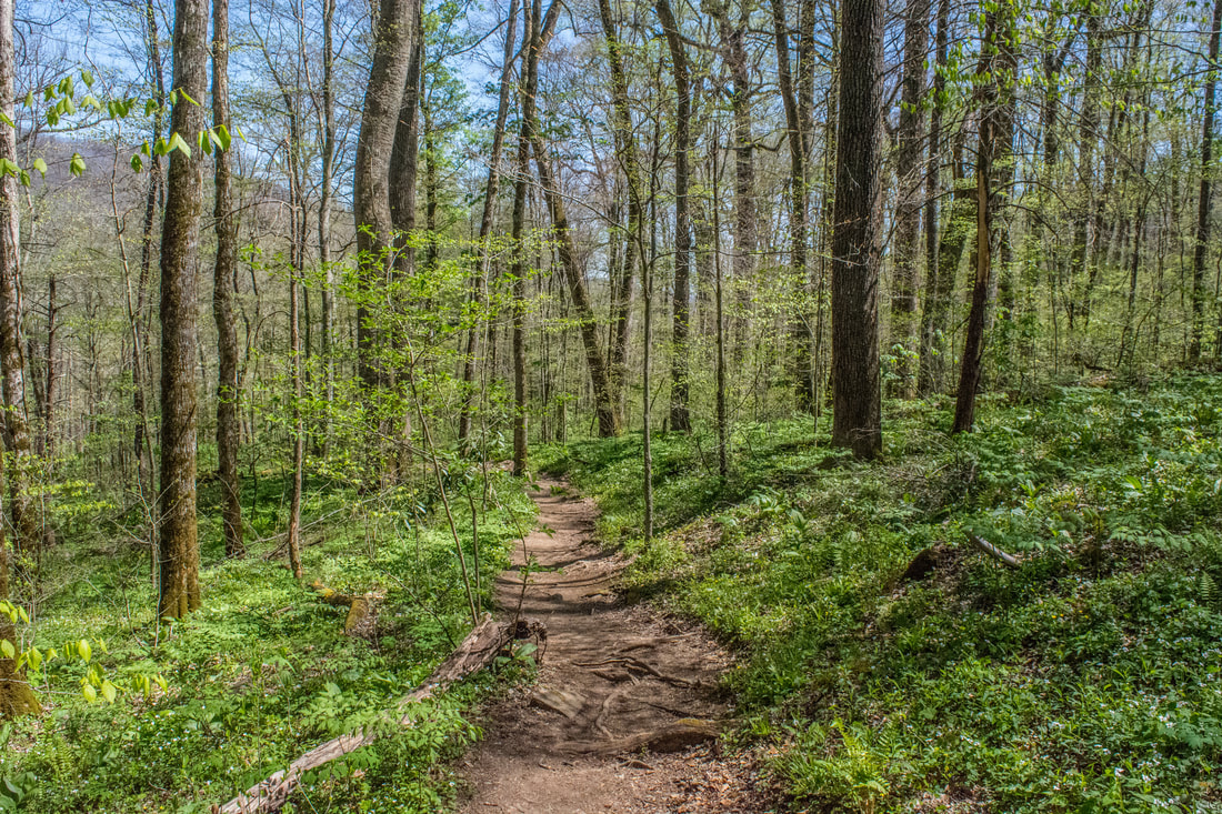
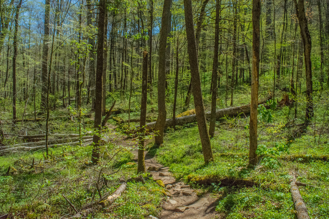
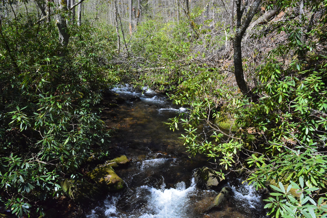
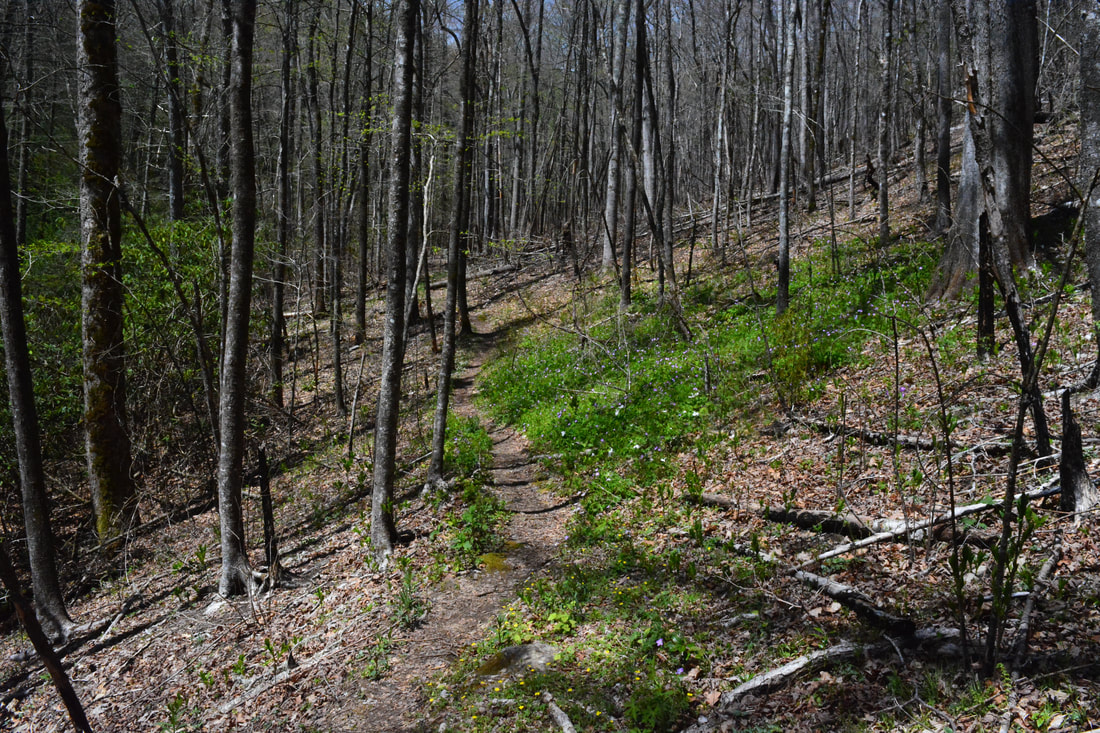
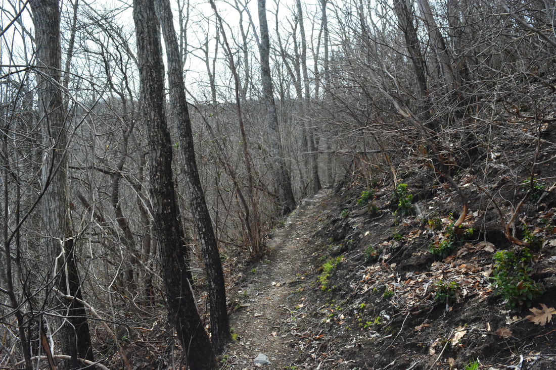
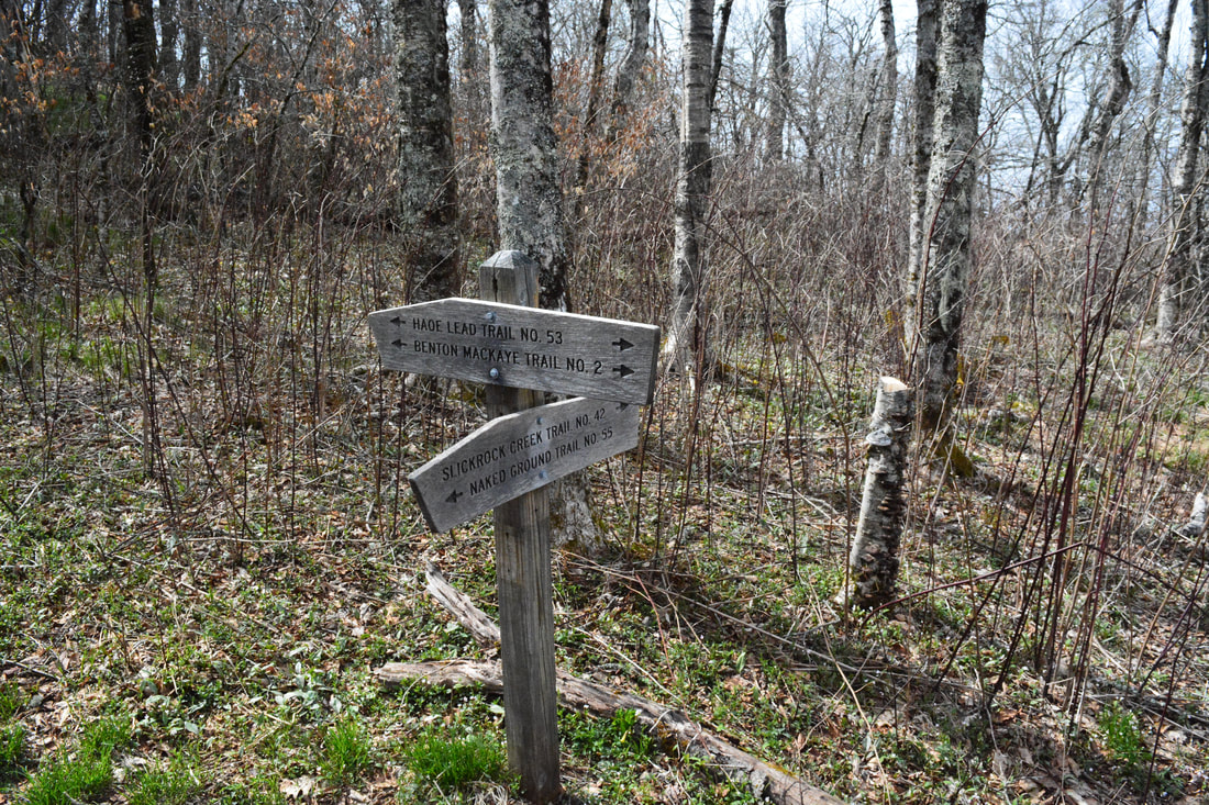
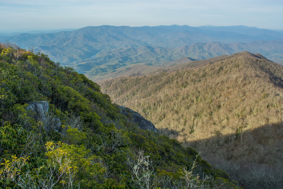
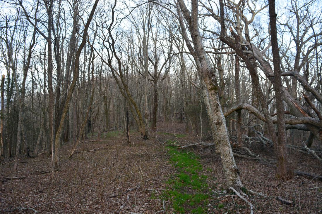
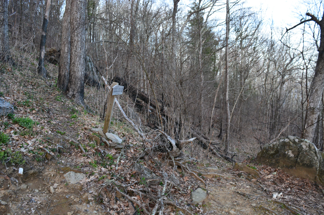
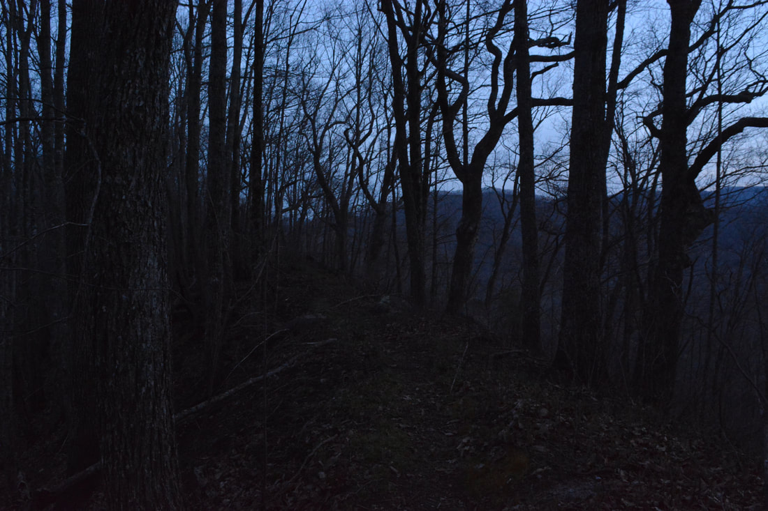
At 2.6 miles, stay right on the Naked Ground Trail as a narrow path bears left. The narrow path is known as the Naked Ground Alternate Trail. The alternate trail passes through another area of huge old-growth trees on the south side of Little Santeetlah Creek, but it is no longer maintained and has two creek crossings, so I suggest sticking to the main trail. The trail generally parallels Little Santeetlah Creek, but it frequently veers away from the creek to cross numerous hollows and branches dumping into the main creek. The entire Naked Ground Trail passes through virgin forest. However, you won't find any trees as big as the ones along the Poplar Cove Loop here, as the environmental conditions on the north side of the valley are less conducive for the trees to grow that tall. If you visit this area in mid-spring, then the trees are likely to still be bare at this higher elevation, with only a few early wildflowers coming out of the ground. Around 5.2 miles, the Naked Ground Trail passes a particularly tall tree and begins a steeper ascent into the upper reaches of the Little Santeetlah Creek watershed. The trail begins a series of switchbacks at 6.3 miles. After the second-to-last switchback at 6.9 miles, the trail enters a particularly pronounced area of fire damage. After the final switchback, the Naked Ground Trail finally reaches its terminus at a four-way intersection atop the ridge at 7.2 miles. To the left and right is the Haoe Lead Trail, which the Benton MacKaye Trail follows in conjunction. Straight ahead is the Slickrock Creek Trail.
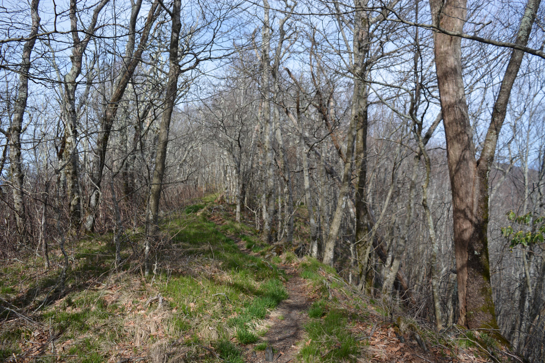
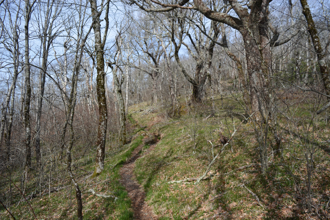
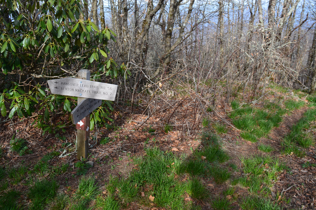
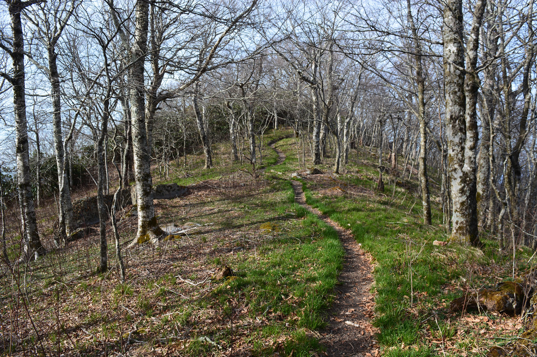
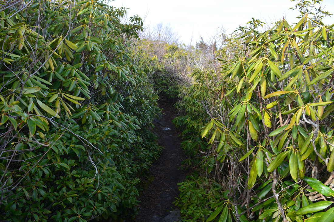
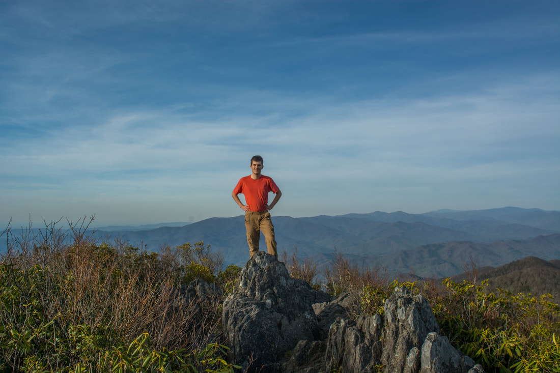
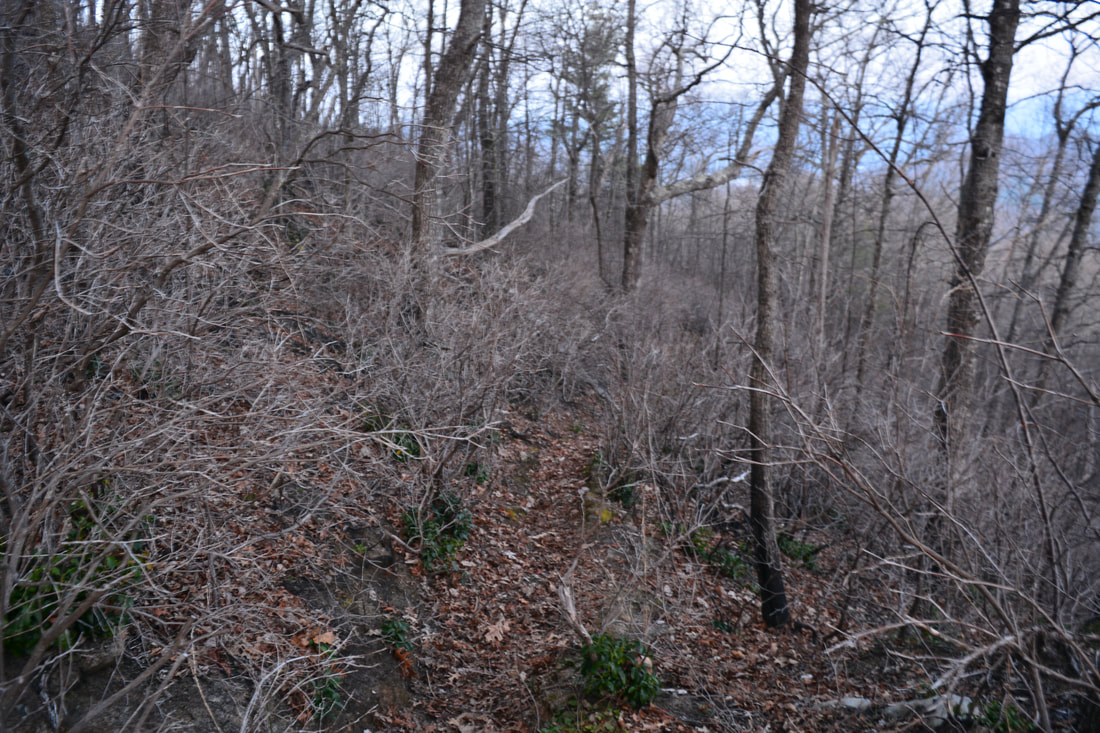
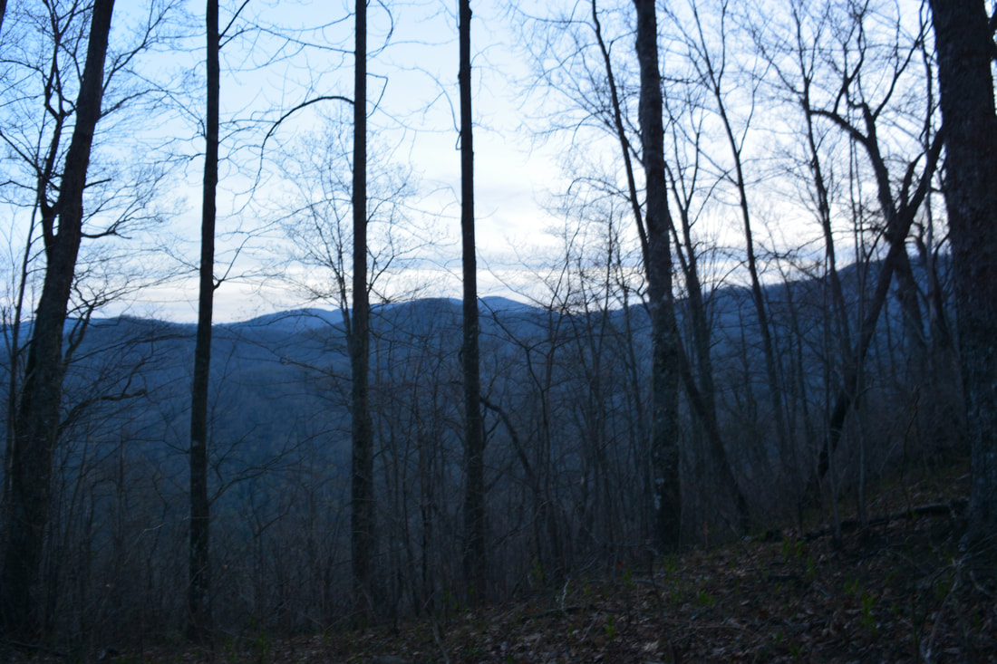
To the left, the Haoe Lead Trail goes to Bob Bald. Straight ahead, the Slickrock Creek Trail drops extremely steeply down into the Slickrock Creek watershed and follows the stream for many miles, passing Wildcat Falls and Lower Falls before reaching US 129 near Cheoah Dam. This hike turns right onto the Haoe Lead Trail, which closely follows the ridge the rest of the way to Haoe Bald. An assortment of great campsites surround the intersection. This spot is known as the "Naked Ground". A few feet past the junction, a superb campsite on the right features a small sunrise-facing view into the Little Santeetlah Creek valley to the southeast. With this great sunrise view, this is the best campsite in Naked Ground. The Haoe Lead Trail then ascends a series of small knobs along the ridge. In the winter, you can see Haoe Bald straight ahead at 7.9 miles, with The Hangover a little to the left. The final ascent to Haoe Bald has several brief steep stretches, including one spot where you'll need to scramble up a rock outcrop using your hands and feet. Finally, at 8.2 miles, reach an intersection with the Hangover Lead Trail atop the summit of Haoe Bald. At elevation 5250 feet, this is the highest point on the hike, but the densely-wooded summit doesn't afford any views. The Hangover Lead Trail leaves left along a well-defined footpath shared by the Benton MacKaye Trail, whereas the lesser-traveled Haoe Lead Trail bears right on a slim track. The loop will later continue along the Haoe Lead Trail, but for now, be sure to turn left on the Hangover Lead Trail for the short side trip to The Hangover. This outstanding view is must-see - don't miss it no matter what! The Hangover Lead Trail descends steeply about 150 feet off the north side of The Hangover. In Saddle Tree Gap at 8.35 miles, the Hangover Lead Trail and Benton MacKaye Trail leave left toward the Big Fat Gap Trailhead. Stay straight on the Hangover Alternate Trail, which is actually the trail to the views. After a small rise, the Deep Creek Trail leaves right at 8.45 miles and leads to a trailhead at the Maple Springs Overlook. Stay straight on the trail to The Hangover, which passes through a grassy clearing with a campsite before the final gentle ascent. The trail soon breaks out into a low rhododendron corridor where views begin to open up. After passing over a preliminary rock outcrop, the trail finally terminates at the main rock outcrop atop The Hangover at 8.6 miles, where outstanding views abound. 
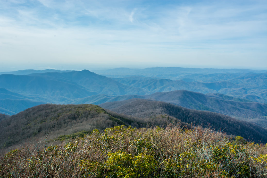
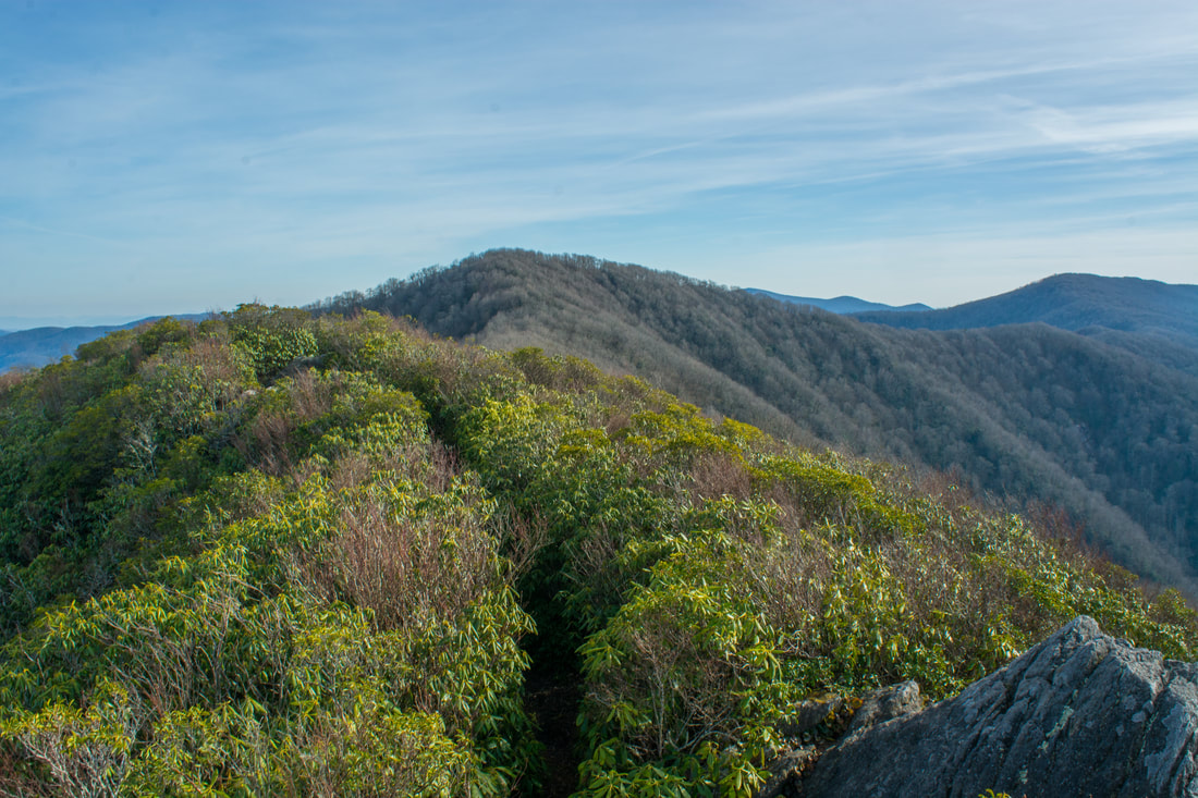
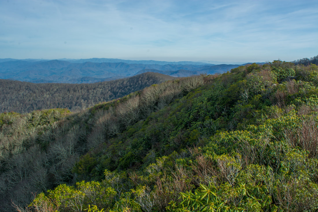
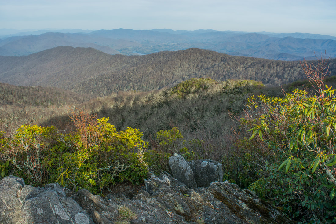
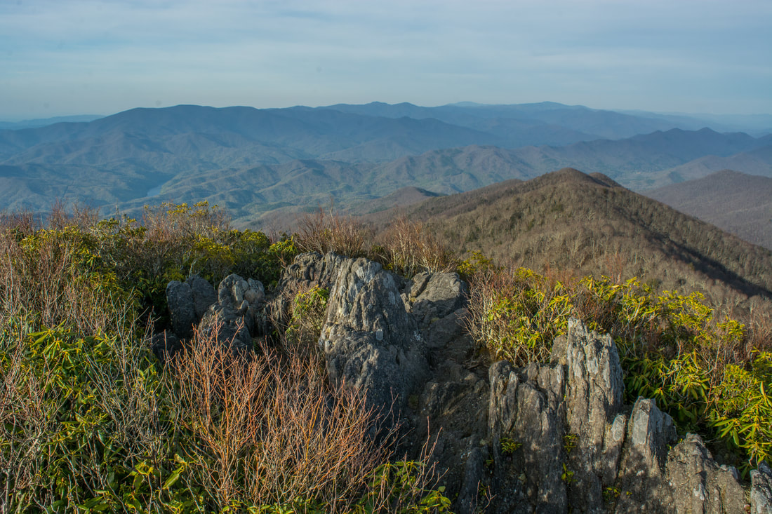
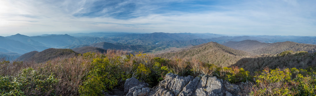
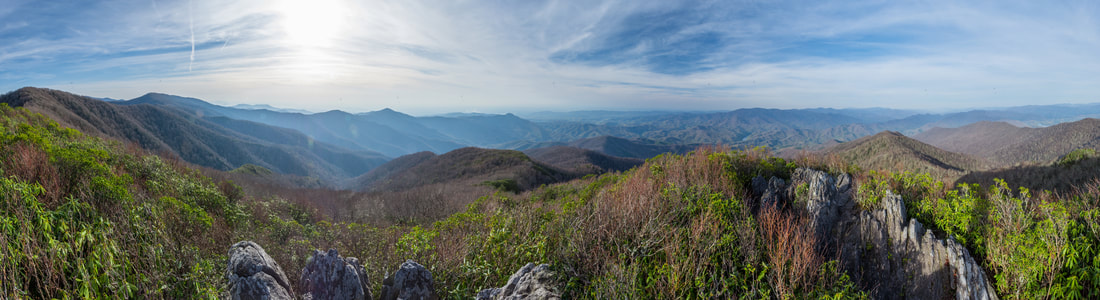
The Hangover features an outstanding 360-degree panoramic view.
The view from The Hangover is unarguably among the best in Western North Carolina. Not many rock outcrops in the Southern Appalachians can provide a 360-degree view as open as this one. Nothing but wilderness and countless mountains surround you, including much of the Joyce KIlmer-Slickrock Wilderness and the Great Smoky Mountains. Santeetlah Lake and Calderwood Lake are faintly visible in the distance. A small section of the Little Tennessee River near Cheoah Dam is also in the view. This is definitely a place to linger - I spent close to an hour just taking in the view.
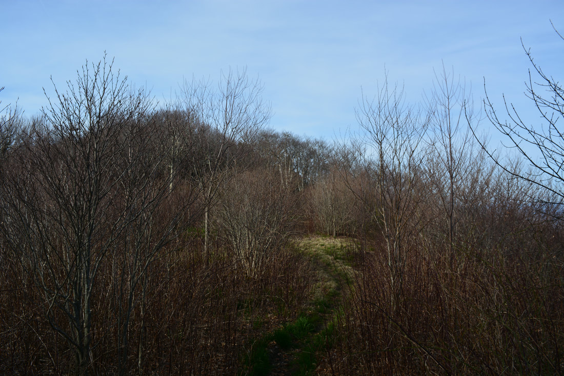
From The Hangover, return to the Haoe Lead Trail junction. The short climb back to the Haoe Bald summit is steep, but at least it's the final notable stretch of uphill on the hike. At the top, turn left on the Haoe Lead Trail and begin the 3000-foot descent back to Little Santeetlah Creek. The trail is a bit hard to follow in places amidst the fire damage, but you should be able to make out a path. The Haoe Lead Trail descends moderately along the ridge the entire way to the Jenkins Meadow Trail junction, which it reaches at 10.1 miles. Stay right on the Jenkins Meadow Trail here (the Haoe Lead Trail bears left toward the Maple Springs Overlook Trailhead). The Jenkins Meadow Trail is my least favorite section of the hike, because the trail is often steep and is severely damaged by fire in places. However, the trail is convenient, because it provides a quick return route back into the Little Santeetlah Creek valley, as opposed to the longer Naked Ground Trail and its more gradual descent. Starting down the Jenkins Meadow Trail, you'll quickly begin a steep descent without switchbacks. The steepest section is between 11.1 and 11.5 miles, when the trail drops straight down a sharp lead. At the time of my hike, several parts of the trail were 'overgrown' with burned skeletons of mountain laurel bushes. The dead branches are pretty sharp and can be annoying to push through! At 11.6 miles, the Jenkins Meadow Trail joins a knife-edge ridge with great seasonal views westward. If you're here when the leaves are off, the view through the trees will illustrate how far you've descended from Haoe Lead! After more steep descent, the trail reaches a gap at 12.25 miles. Turn left to stay on the trail. Eventually, at 13.0 miles, the trail approaches a point on a ridge near the confluence of Little Santeetlah Creek and Santeetlah Creek. The final section of the trail is a seemingly-endless set of four switchbacks on the steep slope above Little Santeetlah Creek. Finally, as Joyce Kilmer Road and the parking area comes into sight, the Jenkins Meadow Trail reaches the road at 13.5 miles, where the hike concludes. 
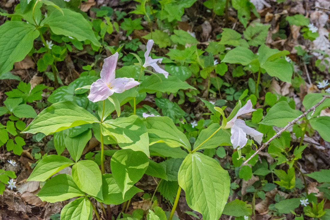
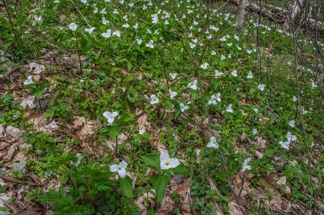
Joyce Kilmer Memorial Forest features an abundance of ephemeral springtime wildflowers, such as this great white trillium (trillium grandiflorum).
Mileage
0.0 - Jenkins Meadow Trailhead
0.5 - Joyce Kilmer Memorial Trailhead 1.5 - Biggest Trees along Poplar Cove Loop 2.3 - Naked Ground Trail 7.2 - Haoe Lead Trail 8.2 - Haoe Bald 8.6 - The Hangover 9.0 - Haoe Bald 10.1 - Jenkins Meadow Trail 13.5 - Jenkins Meadow Trailhead Variations
Hike out and back to The Hangover via Naked Ground Trail plus Poplar Cove Loop - 14.7 Miles
Bonus Stops
Consider checking out the short, easy trail nearby to Yellow Creek Falls after the main hike. This pretty waterfalls is worth seeing while you're in the area.
Pictures & Videos
2 Comments
Brent
3/26/2020 08:36:49 pm
Hey man, just stumbled across this page. Very impressive. Thank you for all of the detail and time you put into this. Going to try this route over the weekend and look forward to checking out more of your work.
Matt M.
6/14/2020 09:45:09 am
Outstanding description of the route. I just returned from Joyce Kilmer where I took Naked Ground to intersection of Haoe Lead trail. Had I seen your post prior to my hike I would have tried your suggested route. Leave a Reply. |
About MeMark Oleg Ozboyd Dear readers: I have invested a tremendous amount of time and effort in this website and the Georgia Waterfalls Database the past five years. All of the work that has gone in keeping these websites updated with my latest trip reports has almost been like a full-time job. This has not allowed me to pick up a paid job to save up money for college, and therefore, I I've had to take out loans. If you find the information on this website interesting, helpful, or time-saving, you can say "thanks" and help me out by clicking the button above and making a contribution. I will be very grateful for any amount of support you give, as all of it will apply toward my college tuition. Thank you!

Coming in 2022-2023?
Other Hiking WebsitesMiles HikedYear 1: 540.0 Miles
Year 2: 552.3 Miles Year 3: 518.4 Miles Year 4: 482.4 Miles Year 5: 259.9 Miles Archives
March 2021
Categories
All
|
||


 RSS Feed