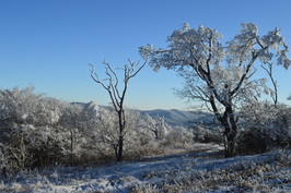
The Unicoi Mountains straddle the Tennessee/North Carolina border in the Cherohala Skyway area. Bob Bald is one of the higher mountains in the range. At an elevation of 5294 feet, Bob Bald provides extensive views of the Citico Creek Wilderness and Joyce Kilmer-Slickrock Wilderness. There are several different ways to reach Bob Bald, but the easiest one is from Beech Gap on the Cherohala Skyway. You will first follow an abandoned forest road along the State Line Ridge, before taking off onto a singletrack trail that leads straight to Bob Bald. This hike occurred on Saturday, February 27, 2016. My plan was to hike closed Forest Road 217H from Beech Gap to the Bob Bald Connector Trail. From there, I would take the Bob Bald Connector Trail to the summit of Bob Bald. After visiting Bob Bald, I would return the same way.
Summary
R/T Length of Trail: 7.3 Miles
Duration of Hike: 4:10 Type of Hike: Out and Back Difficulty Rating: 5 out of 10 Total Elevation Gain: 1421 Feet Pros: All elevation change on this hike is very gradual, making this an easy hike relative to others in the Citico Creek Wilderness Cons: None Points of Interest: Bob Bald - 6 stars Best Season(s) to Hike: Winter; Summer; Fall Fees: None Beginning Point: Beech Gap on the Cherohala Skyway Directions: From Tellico Plains, TN: Drive East on the Cherohala Skyway (TN State Route 165) from TN State Route 68 23.8 miles until you reach the North Carolina state line. This is Beech Gap. Park to the left at or near the small paved area in front of the closed gate in front of Forest Service Road 217H. Map
Click here for more information and to download this trail map to view in Garmin Basecamp.
Details
The "State Line Ridge" is a long mountain ridgeline, located in the middle of the Unicoi Mountains - it roughly marks the Tennessee/North Carolina state line. Throughout the Citico Creek Wilderness, the Fodderstack Trail follows much of the length of the ridgeline. Forest Road 217H and the Bob Bald Connector cover the remaining distance before the ridgeline leaves the wilderness. On this fairly easy trek into the high country of the Unicoi Mountains., you will get to experience some of the highest elevations in the Unicoi Mountains with great winter views throughout the hike, and extensive year-round views from several points on Bob Bald. Most trails that lead into the high country of Unicoi Mountains are much longer and more strenuous than this one - the North Fork Citico Creek hike that I did in March 2015 is a good example.
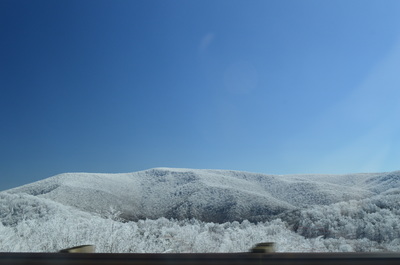
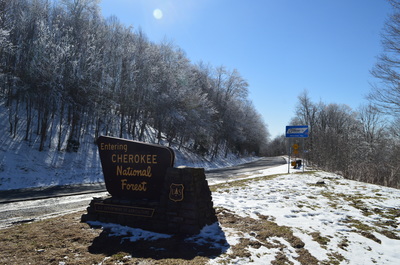
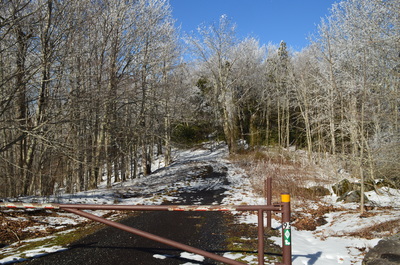
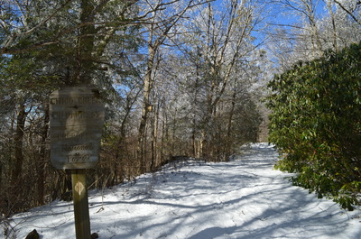
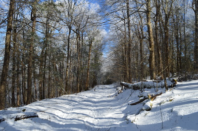
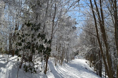
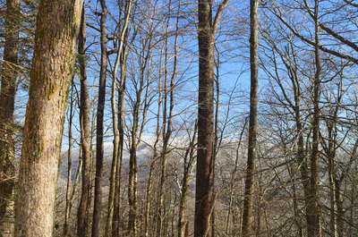
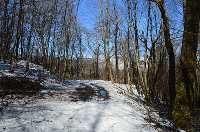
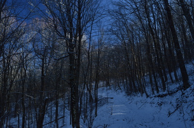
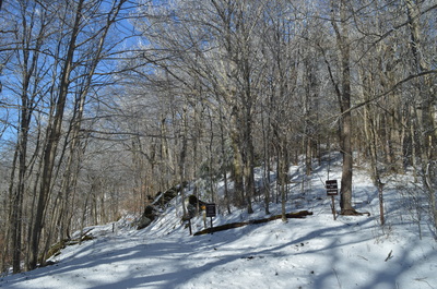
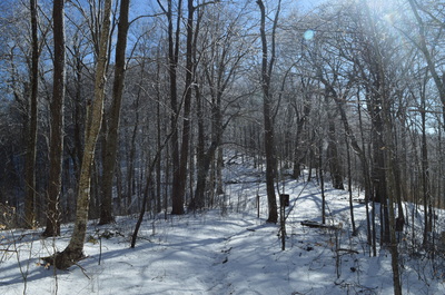
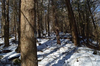
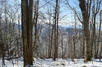
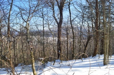
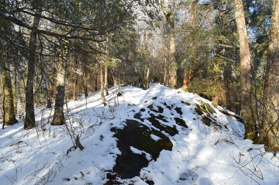
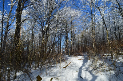
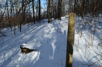
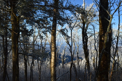
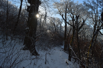
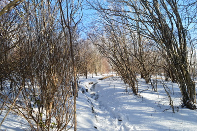
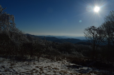
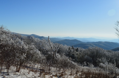
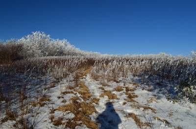
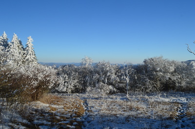
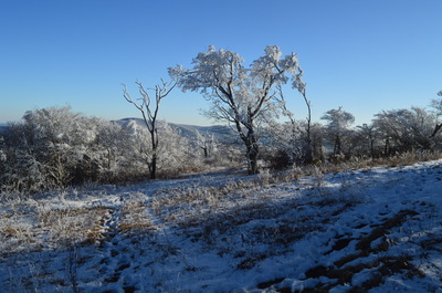
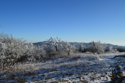
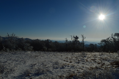
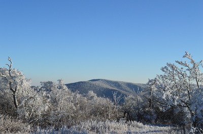
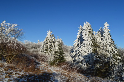
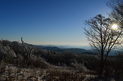
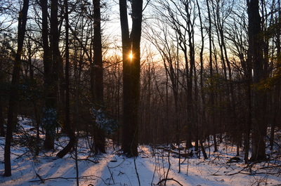
Begin the hike at Beech Gap. Pass around the gate at Forest Road 217H and continue onto the closed forest road. Throughout most of the hike, the snow cover was several inches deep, peaking around the summit of Bob Bald. Just past the gate, the Benton Mackaye Trail comes in from the right. If you turn right onto the BMT, you can embark onto an entirely different hike that leads to Mud Gap and eventually Whigg Meadow. Continue straight along the forest road, which the Benton Mackaye Trail joins. Shortly afterwards, enter the Citico Creek Wilderness, marked by a sign. Originally, the trail is ascending slightly along the forest road, but the high point is reached at 0.2 miles, and this is where a gradual but fairly long descent begins along the winding forest road. As you work your way along the road that stays on or near the ridgeline, there are extensive winter views both to the west and east. You can see Huckleberry Knob to the east. At 1.1 miles, drop off the ridge and descend along the east side of Strawberry Knob. At 1.6 miles, you will have your first view of Bob Bald at a point where the road bends around a lead. At 1.9 miles, descend into Cold Springs Gap to an intersection. Here, Forest Road 217H ends at an old turnaround. Two trails leave the turnaround. The Benton Mackaye Trail bears left, downhill, towards Brushy Mountain and North Fork Citico Creek. It is accompanied by the Fodderstack Trail. The Bob Bald Connector Trail bears right, uphill, towards Bob Bald. Take the Bob Bald Connector Trail and begin traversing a singletrack trail that ascends along the ridge. Unlike many other trails in the Citico Creek Wilderness and surrounding areas, this trail is well-defined - after all, it's one of the area's most popular hikes. The ascent is moderate, but generally not very steep, and the great winter views continue. At 2.3 miles, the ascent moderates as the ridge becomes nearly level for some time. Then, when the gradual ascent resumes, you will enter an area of thick rhododendron growth that will limit the winter views to some extent. Eventually, you will leave the ridge and pass to the west and north of a knob just west of Bob Bald. At 3.1 miles, reach a junction. Here, the Bob Bald Connector trail turns left, downhill, onto a much narrower trail that leads to the Fodderstack Trail. However, my hike continued straight onto the Stratton Bald Trail, entering North Carolina and Nantahala National Forest, as well as leaving the Citico Creek Wilderness and entering the Joyce Kilmer-Slickrock Wilderness. The snow deepened here as the trail headed for Bob Bald with fantastic winter views northward. It was funny to see the valleys below, where spring had already begun, while here, on the snowy trail lined by snow-covered trees, winter was still holding on. At 3.3 miles, pass through a gap and begin the final ascent to Bob Bald. At 3.5 miles, reach a beautiful vista that is arguably the best one on Bob Bald. It is located to the right of the trail and provides a grand view southward towards several ridges of mountains and the Santeetlah Creek valley. At 3.6 miles, enter a field at the summit of Bob Bald. A multitude of pathways branch off from the summit, and it is unclear which one is the continuation of the Stratton Bald Trail, but since Bob Bald was my turnaround point, I didn't have to worry about it. In the middle of the field at the summit, turn right and continue on a pathway to the right side of the field. From here, descend into another clearing with great views (best in winter) to the south and west. Another path seems to head out to the left from the clearing, as well as diagonally to the right. I did not investigate where any of these paths led. After seeing the different vistas on Bob Bald, return the way you came to Beech Gap. The first half of the return route will be downhill, but the second half will be gradual uphill. I usually do not prefer to hike uphill at or near the end of a hike, but in this case, the ascent was quite easy, as well as the entire hike, making the last uphill merely a trifle. Return to Beech Gap at 7.3 miles. Mileage
0.0 - Beech Gap
1.9 - Cold Springs Gap, end of FS 217H, bear right onto Bob Bald Connector 3.1 - Continue straight onto Stratton Bald Trail 3.5 - First vista on Bob Bald 3.6 - Summit of Bob Bald 7.3 - Beech Gap Variations
Loop the hike using the Fodderstack Trail, Benton Mackaye Trail, and Cold Springs Gap Trail - 9.55 Miles
Bonus Stops
Check out Falls Branch Falls, another Cherohala Skyway hike that I did on the same day.
PicturesVideos
0 Comments
Leave a Reply. |
About MeMark Oleg Ozboyd Dear readers: I have invested a tremendous amount of time and effort in this website and the Georgia Waterfalls Database the past five years. All of the work that has gone in keeping these websites updated with my latest trip reports has almost been like a full-time job. This has not allowed me to pick up a paid job to save up money for college, and therefore, I I've had to take out loans. If you find the information on this website interesting, helpful, or time-saving, you can say "thanks" and help me out by clicking the button above and making a contribution. I will be very grateful for any amount of support you give, as all of it will apply toward my college tuition. Thank you!
Coming in 2022-2023?
Other Hiking WebsitesMiles HikedYear 1: 540.0 Miles
Year 2: 552.3 Miles Year 3: 518.4 Miles Year 4: 482.4 Miles Year 5: 259.9 Miles Archives
March 2021
Categories
All
|

 RSS Feed