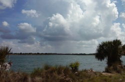
Florida hiking is unlike any hiking in the mountains. Instead of mountain vistas, most of the time you're looking for prairies; instead of waterfalls, with a few notable exceptions, you are looking for lakes and springs. This was my first Florida hike ever, and I was impressed. The bright blue lakes of Weeki Wachee Preserve provide excellent scenery on this hike. In addition, you can extend your hike into a bear habitat with the chance to see some wildlife or their traces. This hike occurred on Sunday, June 28th, 2015. My plan was to at least hike the main loop in the preserve (all on old jeep roads). I would first take Burnt Road, and then turn onto Loop Road and follow the western shorelines of the lakes. After crossing between two lakes, I would take South Lake Road to the second entrance to the preserve. From here, I would follow the paved road (which is open to vehicles only on the 2nd and 4th Saturday of every month) to the trailhead for Burnt Road, and I would follow Burnt Road back to the parking area. Depending on the conditions by the end of the hike, I also had the option of doing an out-and-back hike along Bear Claw Road.
Summary
R/T Length of Trail: 6.4 Miles
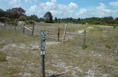
Duration of Hike: 2:40 Type of Hike: Circuit Difficulty Rating: 2 out of 10 Total Elevation Gain: Minimal Pros: Beautiful lake scenery; several shaded benches for a break from the sun Cons: All of the hike is in open areas; hot in summer; all of the hike is on old roads Points of Interest: Numerous unique natural lakes spread throughout the entire hike Trail Blaze Color(s): White diamonds with hike/bike symbols and arrows Best Season(s) to Hike: Winter; Spring; Fall Fees: None Beginning Point: Shoal Line Trailhead Directions: From Spring Hill, FL: Take Osowaw Boulevard west from US Highway 19 for 1.7 miles. Then, turn right onto Shoal Line Boulevard and continue for 3 miles. The dirt parking area will be on the right. MapDetails
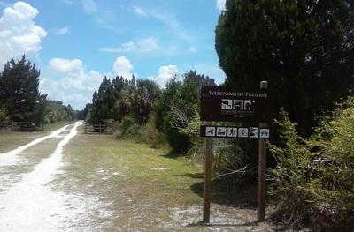
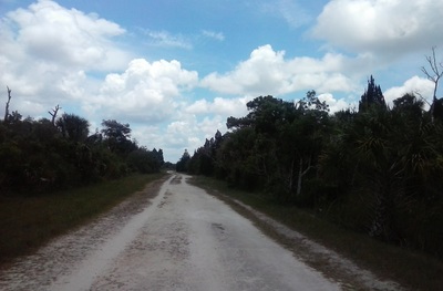
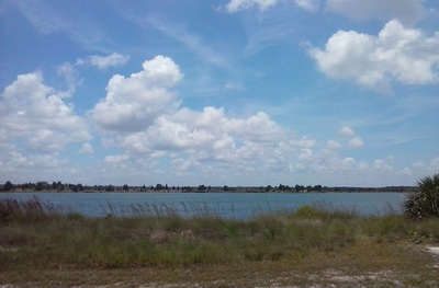
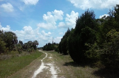
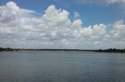
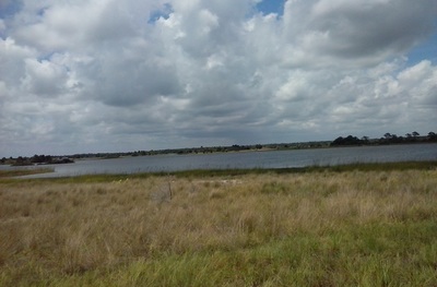
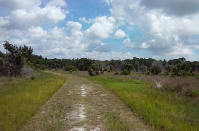
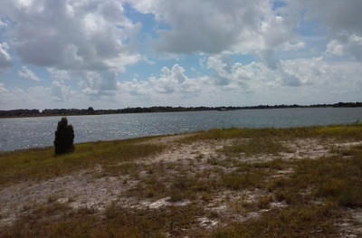
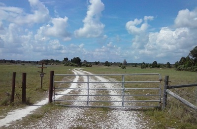
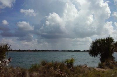
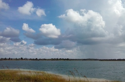
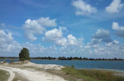
This hike starts behind the gate at the end of the small parking area. There is a Weeki Wachee Preserve sign. The hike follows a wide, sandy old road. This is Burnt Road. Sun exposure here is likely, and this will be the case for nearly all of the hike. The road is lined by thick forest on the right, but only a thin line of trees on the left. At 0.5 miles, reach the start of the loop. Turn right here onto Loop Road to hike the loop counter-clockwise, like I did. This is where you reach the first of numerous natural lakes on this hike. What sets these lakes apart from regular swamps is their bright blue color that's given to them from limestone, as the lakes are in limestone pits. As you follow the shoreline of the first lake, the views stretch far into the distance. At 1.1 miles, reach the second lake. To the left, you can walk out onto a strip of land between the two lakes. There are great views of the surrounding area there. Small blue waves quietly lap against the shore and a gentle breeze blows... it's a pleasant scene. The trail continues to follow the shore of the second lake. To the right, a canal separates the preserve from business on Shoal Line Road. At 1.5 miles, the trail leaves the second lake and continues into a slightly drier area. It continues to follow the canal. After a while, the trail turns left and reaches another lake. The trail continues between two lakes through open, grassy land, where the views stretch far. After many lake views, reach a junction at 2.4 miles. Here, Loop Road turns left and merges with South Lake Road. South Lake Road continues to the right. If you wish to decrease the distance of the hike, you can turn left to continue following the lakes. Otherwise, turn right onto South Lake Road to continue following my route.
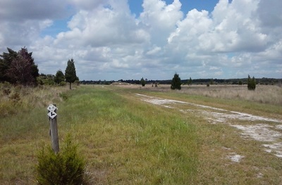
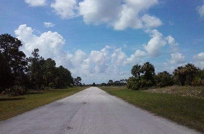
The trail follows the east shores of the lakes for some time. At 2.8 miles, pass a shaded bench on the left. Continue to follow the trail, bearing slightly to the right. At 3.4 miles, turn left to continue following South Lake Road. The trail has now left the lakes and entered a fairly dry forest. The trail itself follows a wide, grassy road that is still very open and hot in summer. At 3.9 miles, South Lake Road ends at a paved road. This is Shoal Line Road, the second entrance to Weeki Wachee Preserve. While the parking area at the end of this road has more space than the one I started at, Shoal Line Road is open to motorized traffic only on the 2nd and 4th Saturday of every month. However, Shoal Line Road is open to foot and bike traffic on all days during daylight hours. Thus, the route of this hike turns left onto Shoal Line Road to continue the loop (if you turn right, you will soon reach the preserve boundary at Osowaw Boulevard. As you follow the road, you will be passing through an open sand-pine forest. As you follow the road, you will pass a gate on the right which is the start of Sand Pit Road, a trail that follows the eastern boundary of the lakes area and connects to Bear Claw Road. However, I would recommend continuing to follow Shoal Line Road, even if you plan on doing the Bear Claw Road spur trail. This way, you will see more of the lakes than if you took Sand Pit Road. Shoal Line Road soon passes one of the lakes on the left. At 4.7 miles, reach a parking area. South Lake Road comes in from the left here. This is where you would've come from if you didn't turn right previously. From the parking lot, continue on a trail that is to the right of the restrooms. This is Burnt Road, which you started on. The next section of the hike is probably the most scenic. The trail stays next to or between lakes, and their bright blue waters are visible at all times. In a mile, at 5.7 miles, the trail reaches a fairly important trail junction. Here, Burnt Road bears left closely following the lakeshore. If you continue left, you will soon reach the trailhead, and this was where I had went. However, my original plan included the Bear Claw spur trail. Unfortunately, I had to abort it, because due to this being my first hike in Florida, I wasn't fully aware of the effects of the sun and heat while hiking in Florida. However, if you wish to do it, you can turn right and continue as far as you would like. Bear Claw Road is a dead-end spur trail that goes through a bear habitat. The official trail is listed as 8.3 miles roundtrip from this junction. If you would like to do the whole spur trail in addition to the hike I described here, your total mileage will be around 14.7 miles. In the future, I have plans to hike the whole trail system here. But on this day, I turned left to get to the trailhead faster. The trail closely follows the lakeshore with great views of the lake. At 6 miles, reach a junction with Loop Road. You have now closed the loop. Continue straight, and reach the trailhead at 6.4 miles. To summarize, this is a great Florida hike. I liked it - the bright blue lakes are very scenic. However, be wary of the heat and potential for a sunburn from the openness of the trail. Variations
Turn left onto South Lake Road instead of right - 5 Miles
Add on the Bear Claw Road spur trail - 14.7 Miles Bonus Stops
Mileage
0.0 - Shoal Line Trailhead
0.5 - Turn right onto Loop Road at first lake 1.1 - Reach second lake with spur trail at left 1.5 - Leave second lake 2.4 - Turn right onto South Lake Road 2.8 - Shaded bench 3.4 - Turn left to continue on South Lake Road 3.9 - Turn left onto paved Shoal Line Road 4.7 - Turn right onto Burnt Road 5.7 - Junction with Bear Claw Road, bear left 6.0 - Junction with Loop Road, continue straight 6.4 - Shoal Line Trailhead Pictures
4 Comments
Alexis Foxx
1/22/2017 07:59:36 pm
This is the best description I've seen so far of the Weeki Wachee Preserve trails. Thank you!
Reply
3/14/2022 02:31:11 pm
You can extend your hike into a bear habitat with the chance to see some wildlife or their traces. Thank you, amazing post!
Reply
12/28/2022 02:35:26 pm
However, my original plan included the Bear Claw spur trail. Unfortunately, I had to abort it, because due to this being my first hike in Florida, I wasn't fully aware of the effects of the sun and heat while hiking in Florida. However, I truly appreciate your great post!
Reply
Leave a Reply. |
About MeMark Oleg Ozboyd Dear readers: I have invested a tremendous amount of time and effort in this website and the Georgia Waterfalls Database the past five years. All of the work that has gone in keeping these websites updated with my latest trip reports has almost been like a full-time job. This has not allowed me to pick up a paid job to save up money for college, and therefore, I I've had to take out loans. If you find the information on this website interesting, helpful, or time-saving, you can say "thanks" and help me out by clicking the button above and making a contribution. I will be very grateful for any amount of support you give, as all of it will apply toward my college tuition. Thank you!
Coming in 2022-2023?
Other Hiking WebsitesMiles HikedYear 1: 540.0 Miles
Year 2: 552.3 Miles Year 3: 518.4 Miles Year 4: 482.4 Miles Year 5: 259.9 Miles Archives
March 2021
Categories
All
|

 RSS Feed