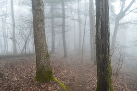
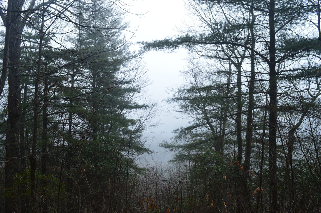
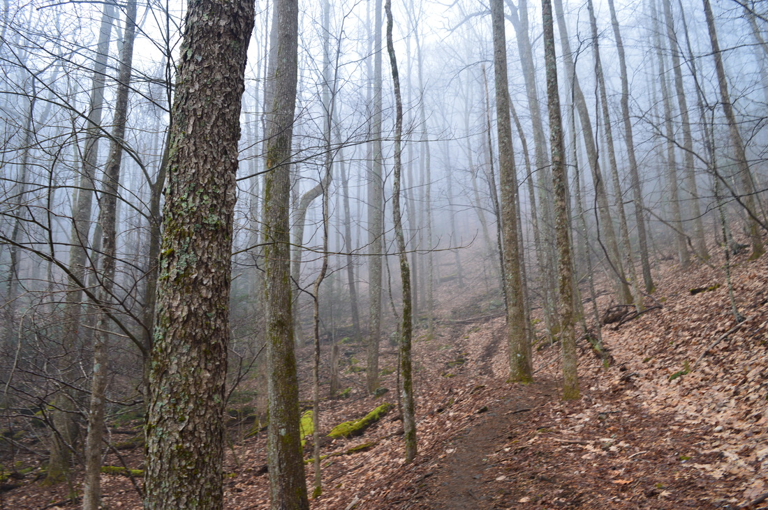
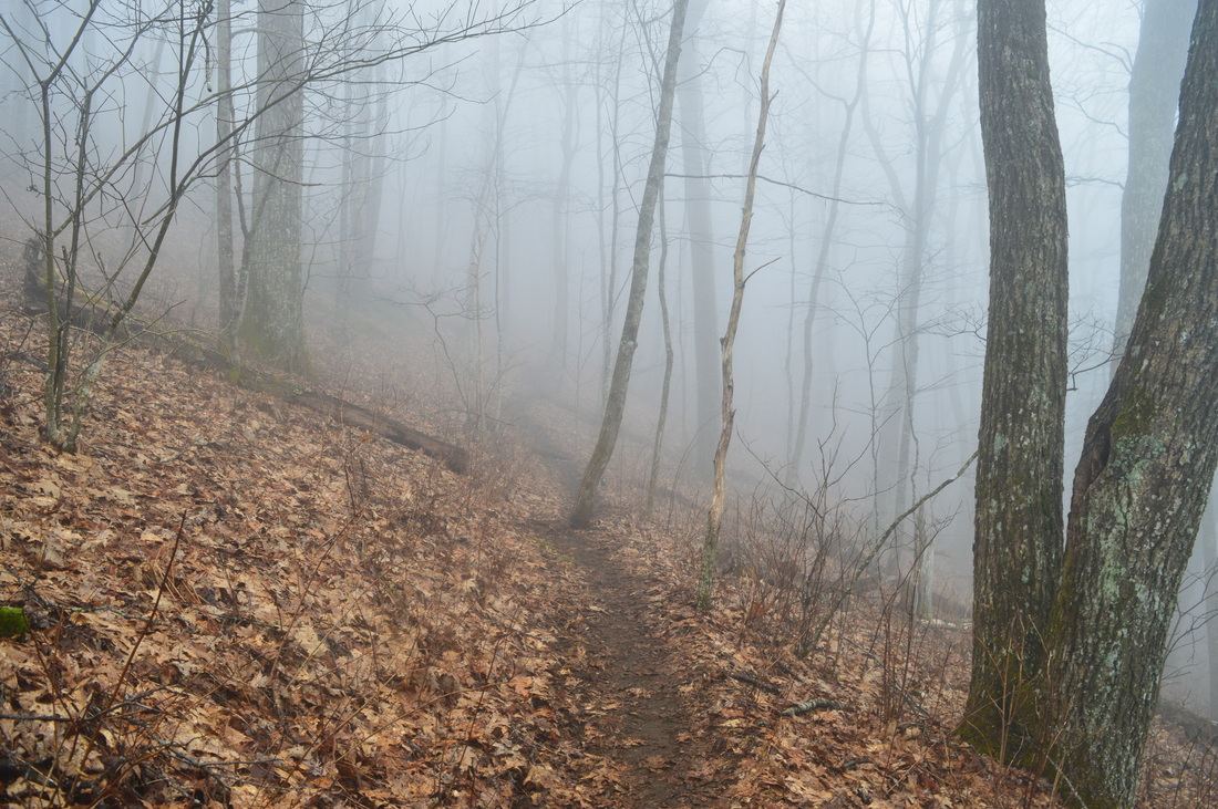
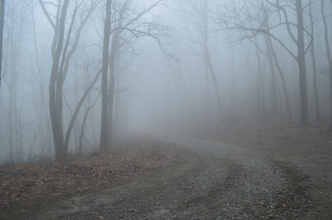
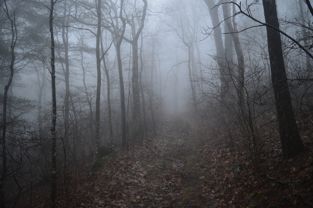
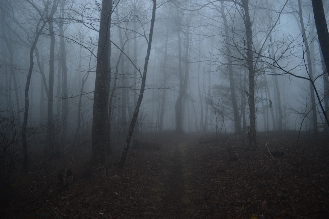
Vogel State Park is nestled in a small north Georgia valley in the middle of Chattahoochee National Forest near Blood Mountain. The park is home to several hiking trails, including the Coosa Backcountry Trail, a well-known hiking trail that traverses two mountains in its dozen-mile course. On this hike, you will climb to a small vista of the valley in which Vogel State Park lies, before approaching Slaughter Bald and bagging Coosa Bald. This hike is especially good in winter, as much of the hike traverses ridges and slopes with great views when the trees are bare - as long as it is not foggy. This foggy hike occurred on Saturday, February 20, 2016. My plan was to hike the northern and eastern section of the Bear Hair Gap Loop and most of the Coosa Backcountry Trail.
Summary
R/T Length of Trail: 15.5 Miles
Duration of Hike: 9:45 Type of Hike: Lasso Difficulty Rating: 8 out of 10 Total Elevation Gain: 4127 Feet Pros: None Cons: Several ascents spaced out throughout the hike with a few steep grades Points of Interest: Vogel Overlook Trail Blaze Color(s): Bear Hair Gap Trail - Green; Coosa Backcountry Trail - Brown; Duncan Ridge Trail - Blue Best Season(s) to Hike: Winter Fees: There is an entrance fee of $5 to Vogel State Park. If you choose to start at any of the other trailheads or road crossings, there are no fees there. Beginning Point: Vogel State Park Directions: From Blairsville, GA: Follow US Route 19/US Route 129 South. After about 10.2 miles from the square in Blairsville, you will see the entrance to Vogel State Park to your right. Turn right, and continue for 0.4 miles to the parking area at the Visitor Center. MapDetails
Vogel State Park was one of the state parks that I wanted to visit as part of my "Georgia State Parks plan", which included hiking the primary trails in most of the state parks in north Georgia before my annual park pass expired. In this case, I had hiked the Bear Hair Gap Trail and Coosa Backcountry Trail several years ago, but I had not taken any pictures then, nor had I recorded a GPS track of my hike. On this day, my plan was to re-hike the two trails and then write a detailed trail report, as the Coosa Backcountry Trail is known as one of the most difficult single hiking trails in north Georgia. It is a popular hike for backpackers.
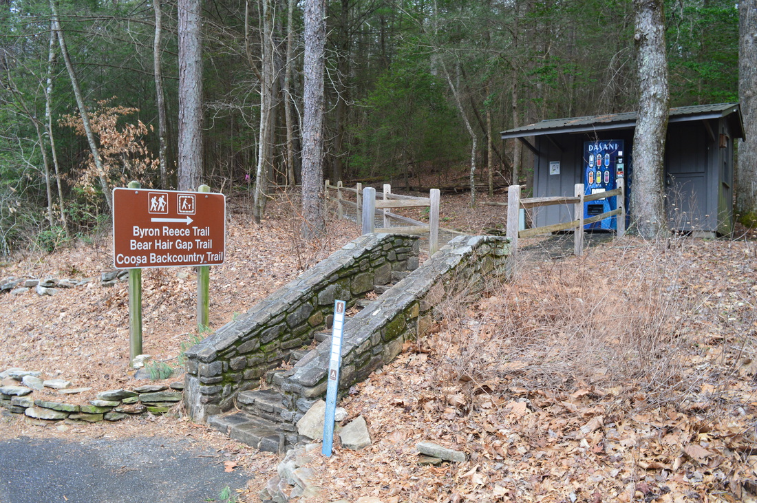
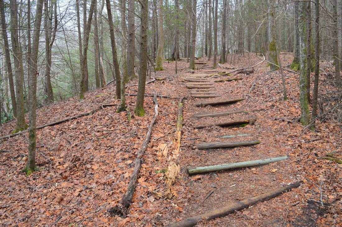
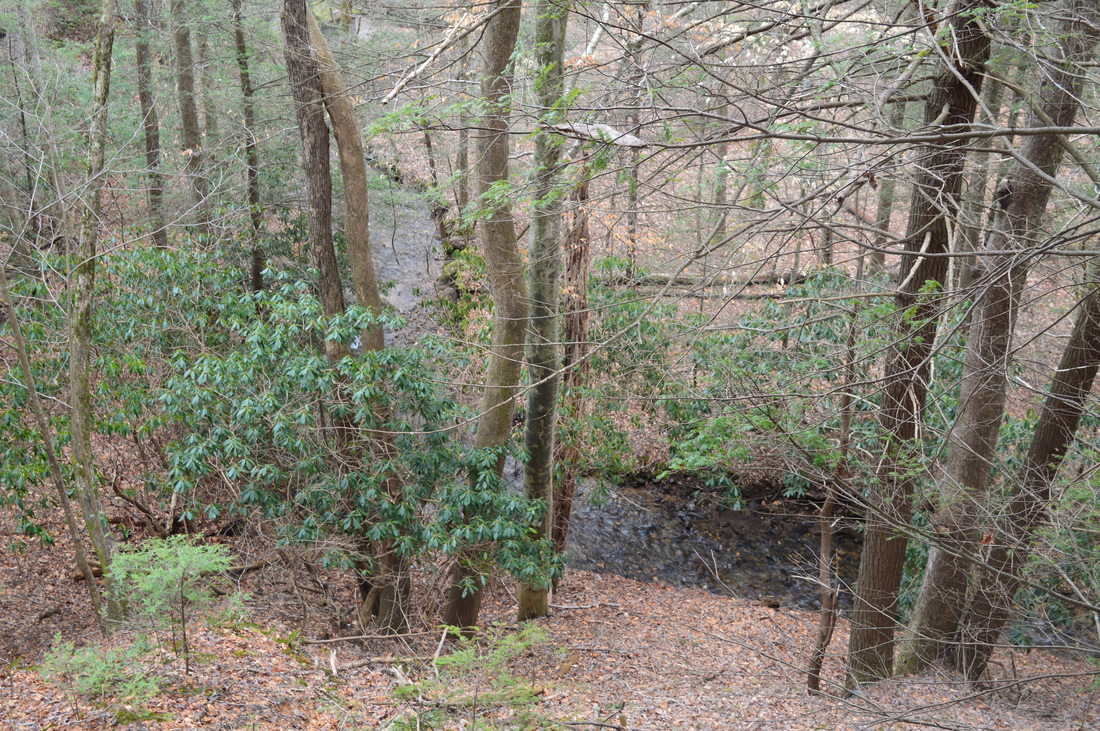
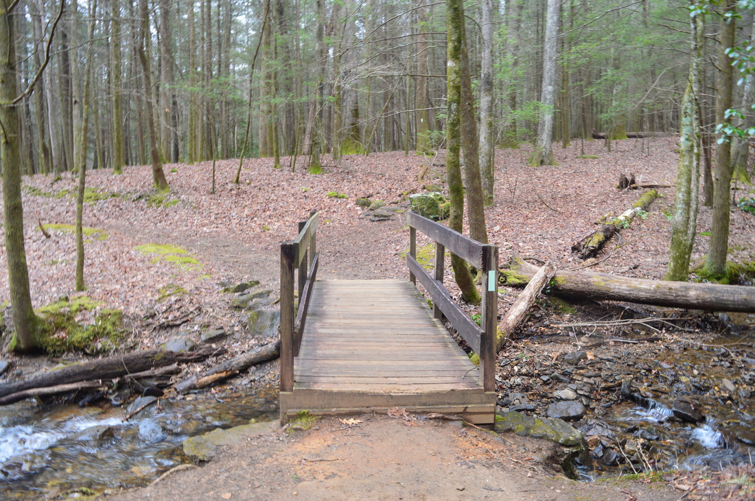
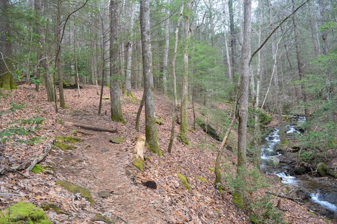
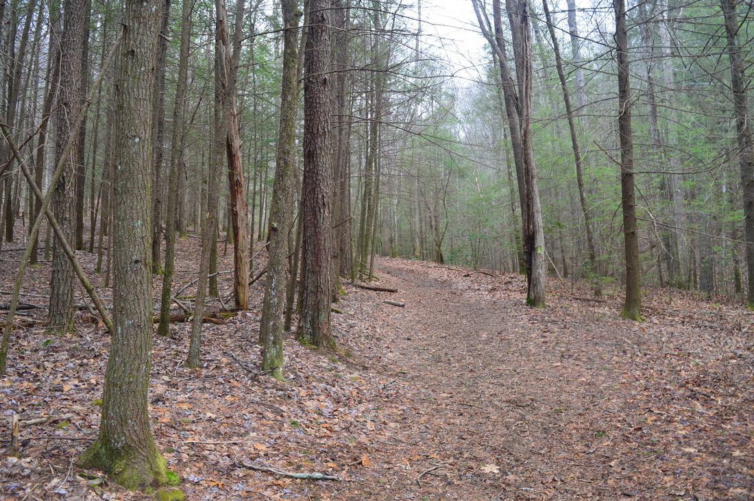
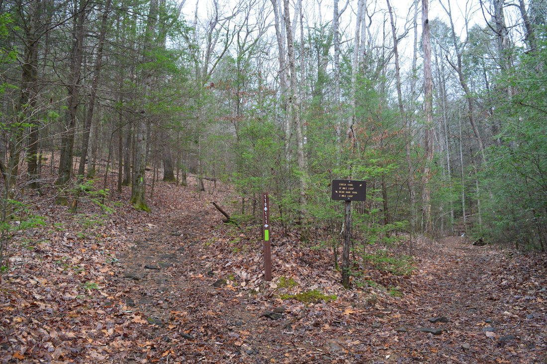
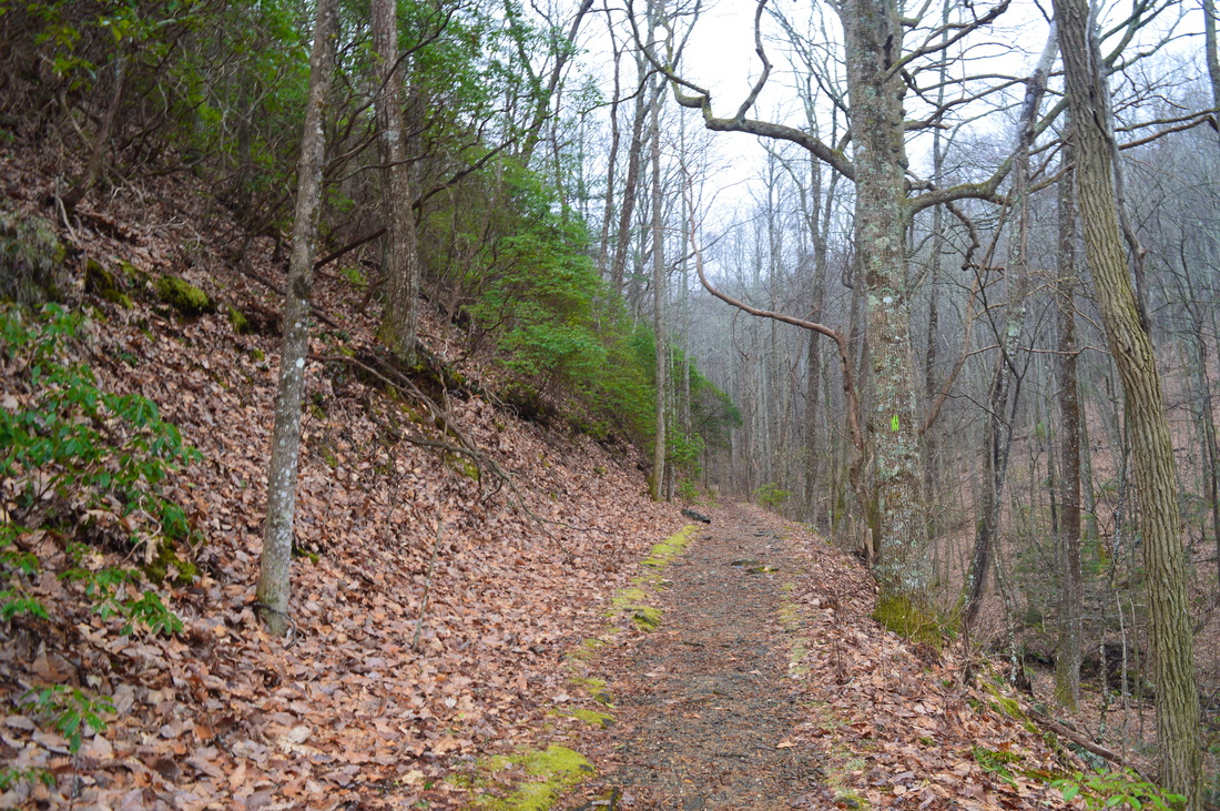
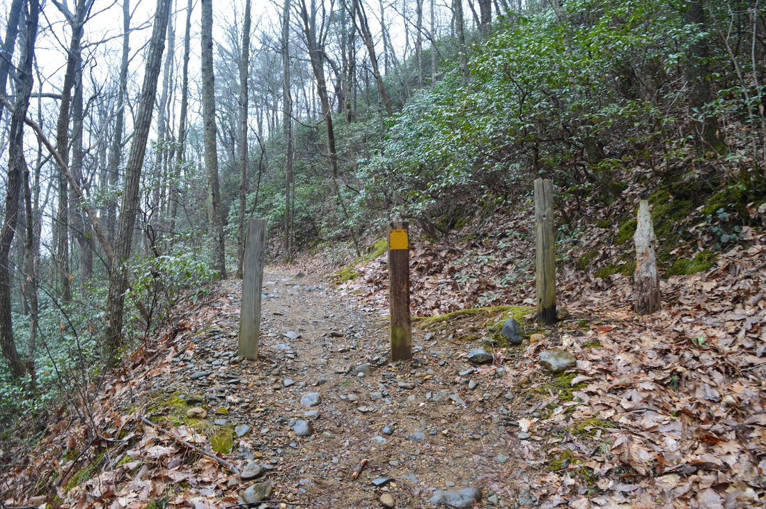
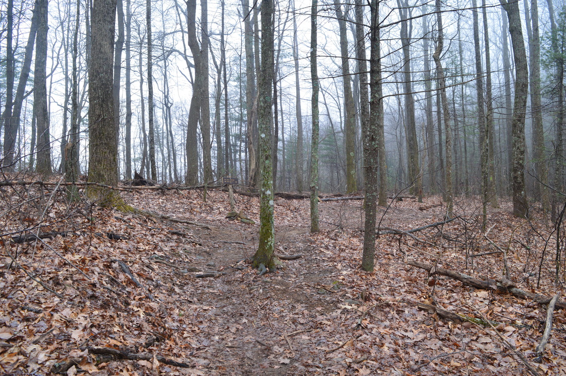
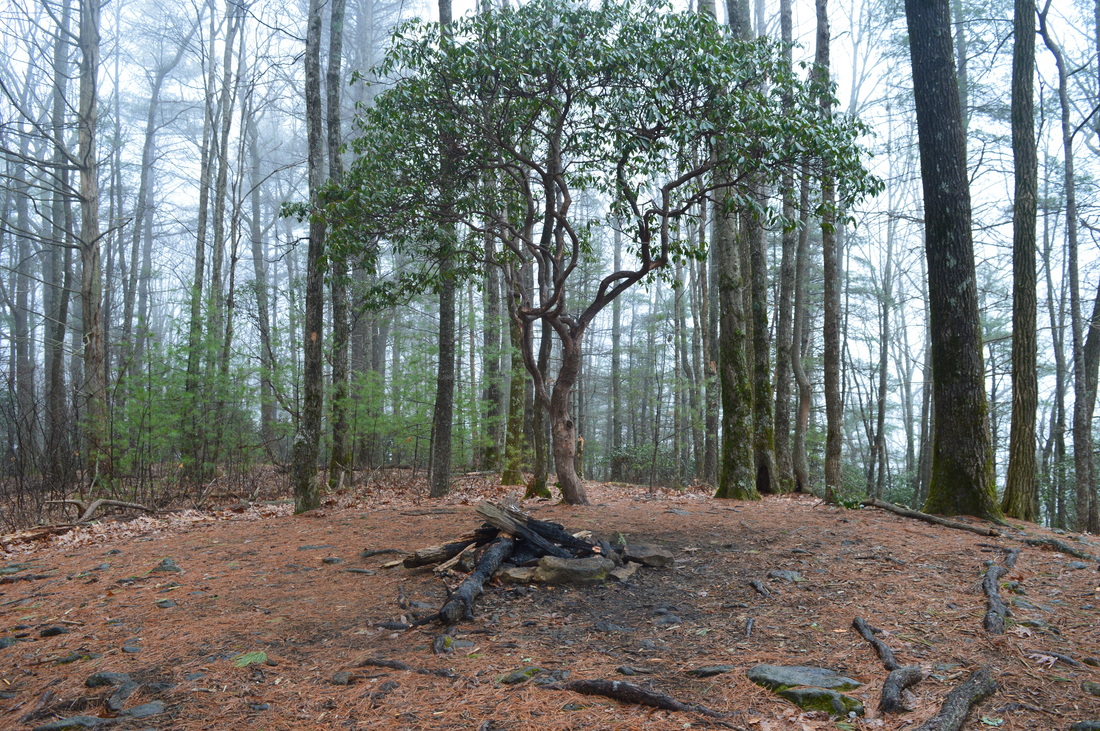
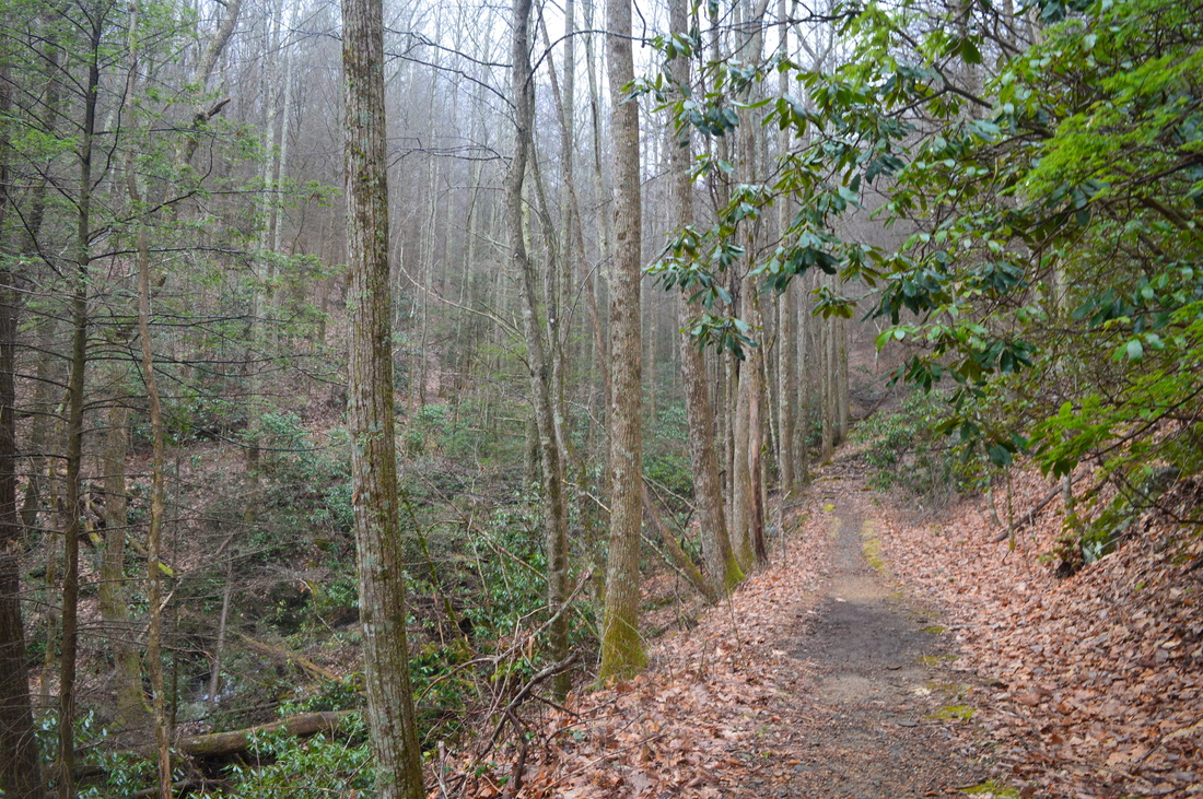
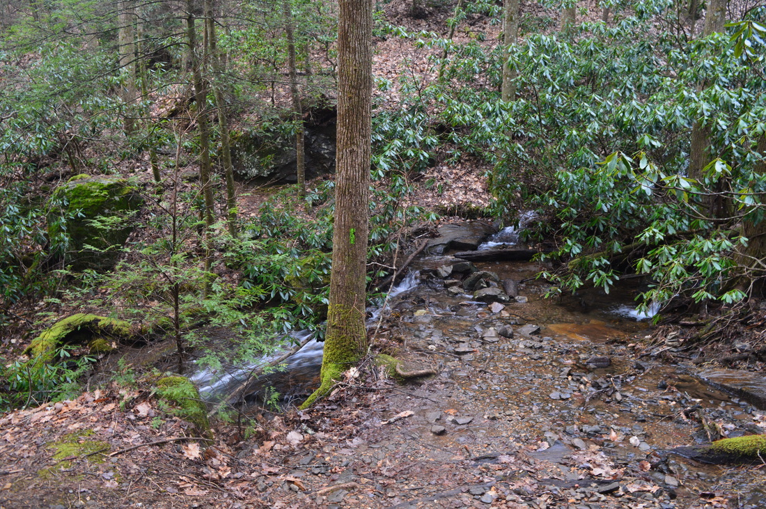
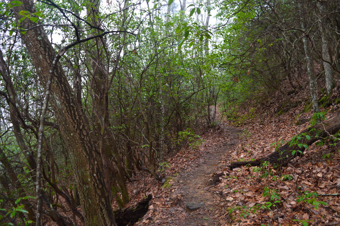
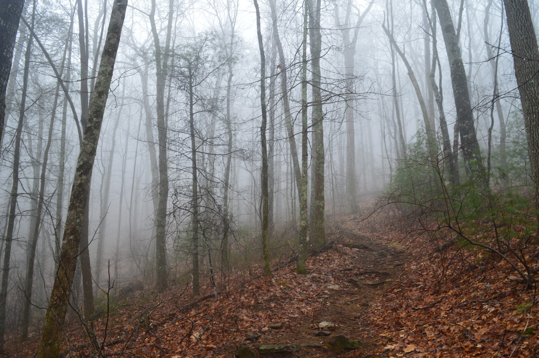
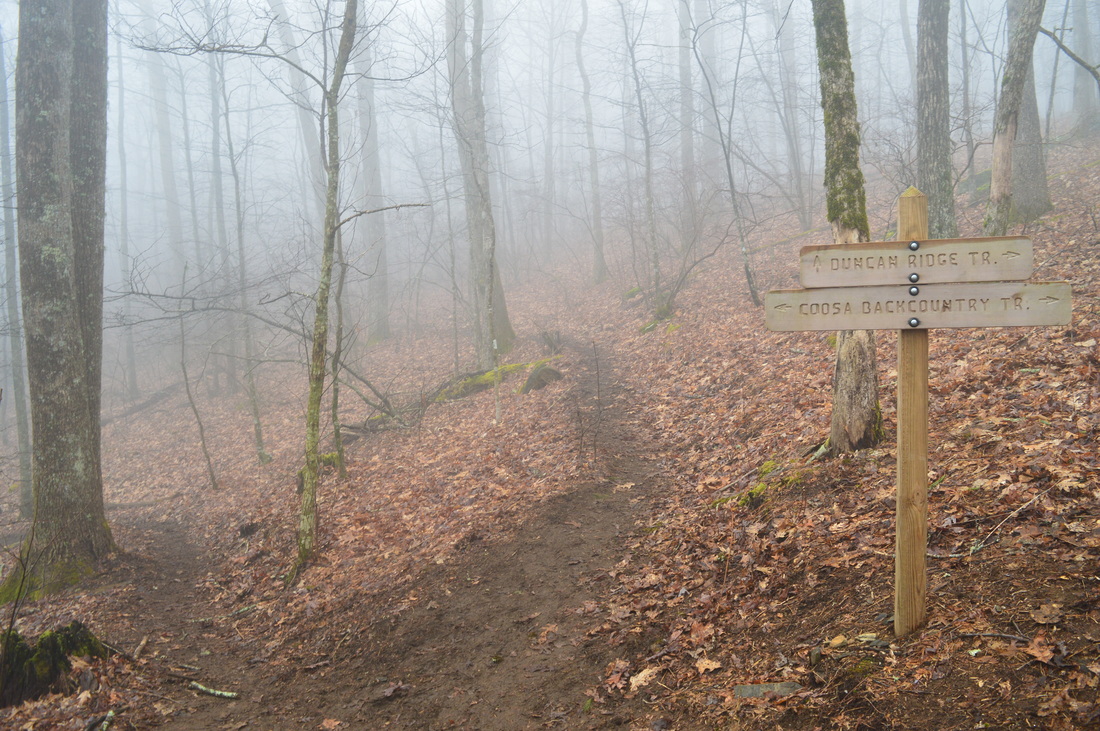
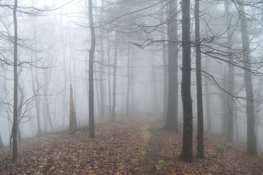
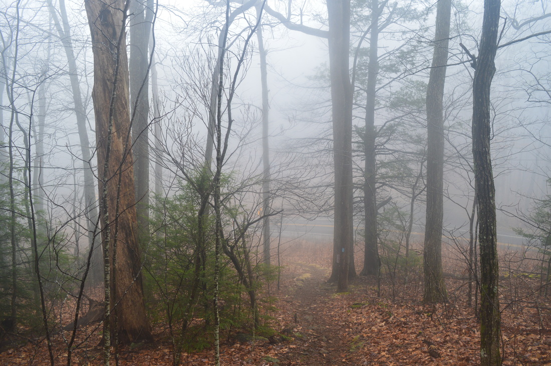
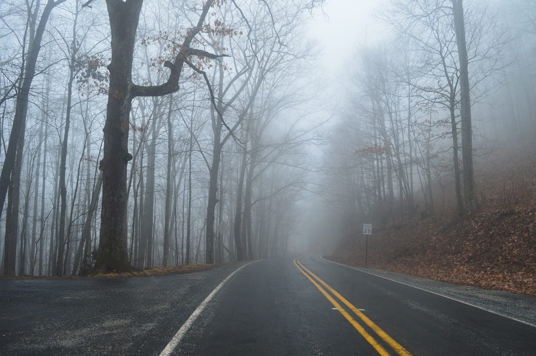
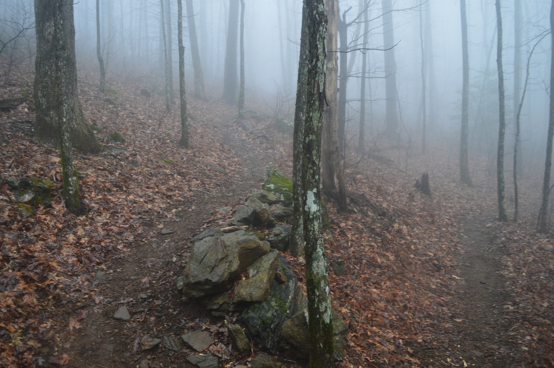
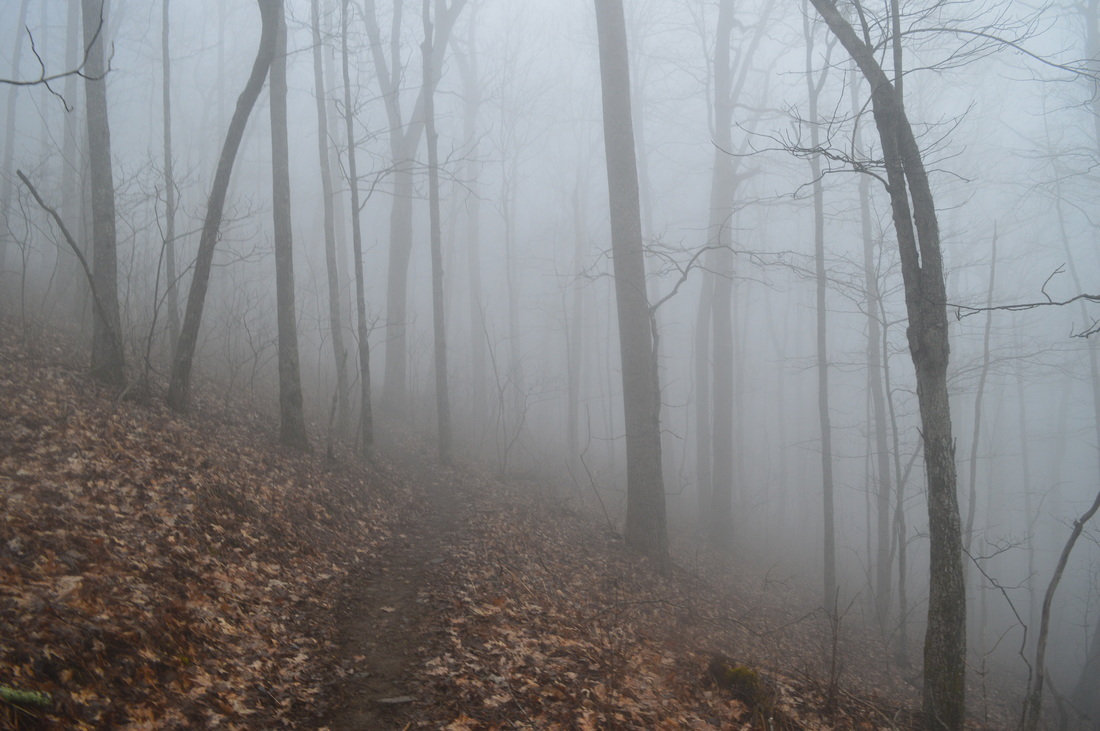
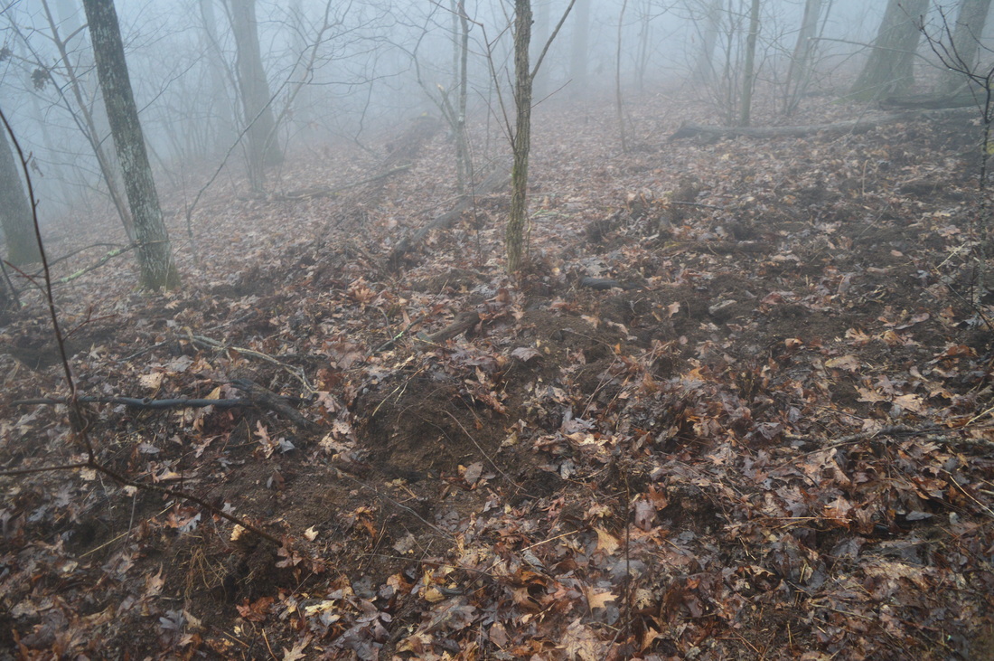
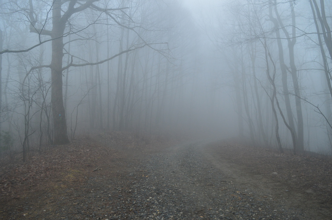
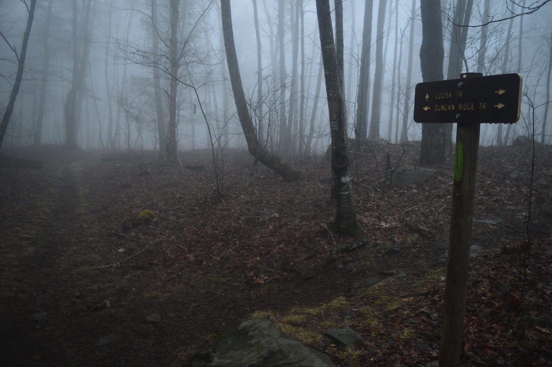
Most hikers choose to start at the Vogel State Park Visitor Center - nearly the lowest point on the hike and the most convenient access point. While there are as many as four other possible starting points for this hike, I started at Vogel State Park like everyone. Since there is no parking at the trailhead itself, you first have to walk for 0.3 miles along a paved road. From the Visitor Center, turn left onto a road that leads past a number of cabins. You will follow the road until you see a large sign to the right of the road with a list of hiking trails at 0.3 miles from the start. This is the trailhead. Turn right, ascend up some stone steps, and begin traversing a very wide footpath that is the access trail for three of the park's trails: Byron Herbert Reese Nature Trail, Bear Hair Gap Trail, and Coosa Backcountry Trail. At 0.4 miles, there will be a small observation area to the left of the trail, where there is a view of Burnett Branch down below. At 0.5 miles, the Byron Hebert Reese Nature Trail starts to the right. You could certainly hike that 0.8-mile loop trail as well, but I did not have time for such an addition, so I continued straight on the main access trail. Descend and cross Burnett Branch on a footbridge at 0.6 miles. On the other side of the footbridge, an unmarked but wide path to the left leads to the campground - bear right. After this, you will ascend along the stream before reaching an important intersection at 0.75 miles, where the access trail ends. To the left is another path that leads to the campground. Straight ahead is the southern part of the Coosa Backcountry Trail and Bear Hair Gap Trail. To the right is the eastern part of the Coosa Backcountry Trail and the northern part of the Bear Hair Gap Trail. If you would like to skip the Bear Hair Gap Trail and hike just the Coosa Backcountry Trail, then you should continue straight. However, if you would like to include both trails like I did, turn right. Shortly after turning right, reach another junction at 0.8 miles. Here, the Coosa Backcountry Trail and the Bear Hair Gap separate at a fork. The Bear Hair Gap Trail bears left, while the Coosa Backcountry Trail bears right. If you would like to hike the Coosa Backcountry Trail loop in the opposite way (counter-clockwise), then you should bear right. Otherwise, bear left on the Bear Hair Gap Trail to continue following my route. The Bear Hair Gap Trail loses no time in beginning the ascent on a well-trodden path to Vogel Overlook. You will cross a tributary of Burnett Branch three times in a short period of time between 1 mile and 1.1 miles. At 1.3 miles, cross Burnett Branch on a footbridge, and at 1.45 miles, make a sharp switchback and turn left onto a forest road. The ascent is very slow and gradual here. Cross Burnett Branch again at 1.6 miles, this time without the benefit of a footbridge, although the creek is small enough to be crossed easily. Then, you will enter the Blood Mountain Wilderness. At 1.9 miles, leave the forest road and begin a steeper ascent with a series of switchbacks as you approach Vogel Overlook. At 2.1 miles, reach an intersection, where the spur trail to Vogel Overlook leaves to the left. Turn left, and ascend up a small knob. Bear left to continue on the main path, and reach the Vogel Overlook at 2.2 miles. This is a small and somewhat overgrown vista, although on a better day, the valley where Vogel State Park is will be visible, along with Lake Trahlyta and the mountains behind it. From Vogel Overlook, continue on a narrower path that passes by a campsite on top of the knob and then rejoins with the trail before returning to the Bear Hair Gap Trail at 2.4 miles. Continue following the Bear Hair Gap Trail. You will now begin descending towards Wolf Creek, with the Vogel Overlook area being the high point on the Bear Hair Gap Trail. After 0.7 miles of descent, approach Wolf Creek and enter a richer and moister creekside ecosystem full of rhododendron. Cross Wolf Creek on stepping stones at 3.1 miles. Right after the crossing, reach an important junction. Here, the Bear Hair Gap Trail turns left and descends back into Vogel State Park. Casual hikers may find the Bear Hair Gap Trail of interest, as it is only 4.1 miles long. If you would like to continue on the Bear Hair Gap Trail, keep in mind that the remaining distance on the trail is mostly downhill. My plan was to hike a much longer distance today, though. I turned right onto the Coosa Backcountry Trail. After your right turn, you will begin an extended uphill. Originally, you will be following Wolf Creek. This is a very pretty mountain stream with lots of cascades. At 3.2 miles, make a switchback and turn away from Wolf Creek. At 3.5 miles, reach a tributary of Wolf Creek. This is a spot that can prove to be confusing. Two paths can be seen here - one path never crosses the stream and instead switchbacks to the right, while the other path continues straight across the stream. I checked the path across the stream first. It quickly turned left and began descending steeply. You may see a blaze here. My guess is that this path is the old route of the Coosa Backcountry Trail, and that it joins back with the main trail a lot further down. You should not follow this path. Instead, follow the trail that switchbacks at the stream and heads away from it - this is the correct route of the trail. At 3.6 miles, the switchbacks that had made the ascent so gradual until this point suddenly end, and the trail turns left and begins to ascend steeply up a lead. The steep ascent lasts for 0.2 miles, and then, the trail becomes easier, although a consistent moderate ascent continues. As the trail ascends higher, I have no doubt that there are great winter views, but on this day, there was nothing but fog. At 4.25 miles, reach a junction with the Duncan Ridge Trail. The DRT is a 30-mile long trail that begins at the Appalachian Trail near Blood Mountain and ends at the Benton Mackaye Trail near GA State Route 60. If you turn left onto the DUncan Ridge Trail here, you could get to the Appalachian Trail and then Blood Mountain, making for an interesting addition to this hike. I did not have plans to add this side trip, so I beared right onto the Coosa Backcountry Trail, which followed the same path as the Duncan Ridge Trail for several miles from this point. The trail continues to ascend the slopes of Slaughter Mountain, but it never quite reaches the summit. It gets to about 0.1 miles below the summit, but if you would like to reach the true summit of Slaughter Mountain, you would have to hike off-trail for 0.1 miles to the left from the trail (west). The point where the trail is closest to the summit has the GPS coordinates (N34° 44.949', W83° 56.938') and the GPS coordinates of the summit of Slaughter Mountain are (N34° 44.897', W83° 57.020'), in case you're interested to peakbag Slaughter Mountain. After all, Slaughter Mountain, with an elevation of 4338 feet, is the ninth highest mountain in Georgia. The trail skirts Slaughter Mountain and then follows the ridgeline, crossing an unnamed knob just to the north of Slaughter Mountain. Once again, there are probably great winter views here. At 5.4 miles, the trail begins descending rather steeply along Duncan Ridge. There will be only a few switchbacks to help with the descent, until the trail levels out and crosses GA State Route 180 in Wolf Pen Gap at 6.1 miles. This is where you leave the Blood Mountain Wilderness. This is one of several other potential starting points for this hike. You may notice a gravel road heading out of Wolf Pen Gap. This is Duncan Ridge Road, You will meet Duncan Ridge Road later in this hike. For now, continue through the small dirt parking area and onto a single-track trail marked by a sign. You will begin a moderate ascent with proper switchbacks up Wildcat Knob. Just as with Slaughter Mountain, the trail passes to the east of Wildcat Knob before descending into Wildcat Gap at 7.4 miles. This is where you see Duncan Ridge Road again. This is a potential starting point, and it is close to Coosa Bald for those looking to hike just to the summit of Coosa Bald. The trail reaches the road, but it then exits back into the woods on the same side of the road without crossing it. After this, the trail picks up an old road and begins ascending rather steeply up Coosa Bald. The ascent is steepest at first and gradually moderates, before the trail reaches an intersection at 7.9 miles on top of a knob just below Coosa Bald. Here, the Coosa Backcountry Trail turns right towards Vogel State Park, while the Duncan Ridge Trail continues straight for many miles across Duncan Ridge. My plan was to turn right, but if you want to get to the true summit of Coosa Bald, you have to continue straight on the Duncan Ridge Trail for about 0.2 miles. Coosa Bald, at an elevation of 4280 feet, is tied with Double Spring Knob as the tenth highest mountain in Georgia. I do not believe that either Slaughter Mountain or Coosa Bald have any year-round views or overlooks from their summits, but I may be istaken, so I would appreciate it if you could confirm this. From the intersection, turn right onto Coosa Backcountry Trail, leaving the Duncan Ridge Trail behind, and cross the knob before beginning a long and moderate descent. At 8.6 miles, still descending, come alongside Calf Stump Branch. Follow it downstream for some time, before gradually veering away. Reach Calf Stomp Gap at 9.1 miles, and cross Big Grassy Knob Road (FS 108). The descent continues as the trail lowers along a lead from Coosa Bald. The descent to West Fork Wolf Creek is interrupted only once briefly at Locust Stake Gap at 10.2 miles. After Locust Stake Gap, the trail ascends slightly and then skirts a knob on the ridge. At 10.4 miles, the trail crosses a tributary of West Fork Wolf Creek. After this, resume descending into the West Fork Wolf Creek valley. At 11.2 miles, reach another, larger tributary of West Fork. Follow the stream downstream to an easy crossing at 11.4 miles. After the crossing, there is a nice creekside campsite - this is the first campsite near water on this hike. After some more descent, cross West Wolf Creek Road (FS 107) at 11.6 miles. Pass through a large pullout with a roadside campsite. This is another potential starting point for this hike. In fact, it is at a slightly lower elevation than Vogel State Park. Just after the road, cross West Fork Wolf Creek on a relatively new footbridge. After this, an annoying section of the hike begins. The trail has to ascend to Burnett Gap from the West Fork Wolf Creek valley, and this 2.6-mile ascent can prove to be an unpleasant surprise after you have hiked over 11 miles and done a lot of climbing earlier. I found this ascent to be a lot harder than the ascents to Slaughter Mountain and Coosa Bald, just because I had been hiking for so long already and the ascent was much later in the hike than the previous two. Luckily, the ascent was mostly gradual with few steep grades as the trail followed an old forest road that winded along the slopes of Sheriff Knob. There should be great winter views of the West Fork Wolf Creek valley and towards Coosa Bald as you hike this part of the trail. At 14.2 miles, you will finally finish climbing as you reach Burnett Gap. Burnett Gap is yet another starting point that can be considered for this hike. You cross GA 180 for the second time in Burnett Gap, and West Wolf Creek Road comes in from the right as well. This is the last road crossing until the end of the hike, and luckily, this was also the last uphill, although by this time, my legs were so jelly-like that I could barely hike down the steep downhill that followed. The trail began a steep descent, parallel to a drainage, into the Burnett Branch valley. There are no switchbacks here, and the footing is not the best. Fortunately, the descent does not last too long, and at 14.7 miles, cross Burnett Branch on a footbridge and reach the end of the loop section of the hike as the Coosa Backcountry Trail reaches the Bear Hair Gap Trail junction. From here, simply bear straight and then turn left onto the access trail to retrace your steps back to the trailhead at Vogel State Park. You will finish the hike at 15.5 miles at the Vogel State Park Visitor Center. Here is a tip for anyone who wants to hike the trail: I suggest hiking the loop counter-clockwise (opposite from the direction I hiked it), because that way, the last 4.5 miles will be mostly downhill. The exception would be the 0.7-mile ascent from Wolf Creek to Vogel Overlook, but that ascent is a lot shorter and easier than the ascent from West Fork Wolf Creek to Burnett Gap. In fact, the first time I hiked this trail, I hiked it counter-clockwise, and it turned out noticeably easier (although I did not hike the Bear Hair Gap Trail on that day). Mileage
0.0 - Vogel State Park Visitor Center
0.3 - Bear Hair Gap Trail and Coosa Trailhead 0.4 - Observation area to left with a view of Burnett Branch 0.75 - Right turn onto Bear Hair Gap Trail/Coosa Backcountry Trail 0.8 - Bear left onto Bear Hair Gap Trail 2.1 - Turn left onto spur trail to Vogel Overlook 2.2 - Vogel Overlook 2.4 - Return to main trail 3.1 - Cross Wolf Creek and turn right onto Coosa Backcountry Trail 4.25 - Bear right onto Duncan Ridge Trail/Coosa Backcountry Trail 6.1 - Wolf Pen Gap 7.4 - Wildcat Gap 7.9 - Right turn onto Coosa Backcountry Trail 9.1 - Calf Stomp Gap 10.2 - Locust Stake Gap 11.6 - West Wolf Creek Road and footbridge across West Fork Wolf Creek 14.2 - Burnett Gap 14.7 - Bear left to join Bear Hair Gap Trail 14.75 - Turn left onto access trail 15.2 - Trailhead 15.5 - Vogel State Park Visitor Center Variations
Hike just the Bear Hair Gap Loop - 4.1 Miles
Hike just the Coosa Backcountry Trail - 12.9 Miles Include the Byron Herbert Reese Trail in your hike - 16.3 Miles Bonus Stops
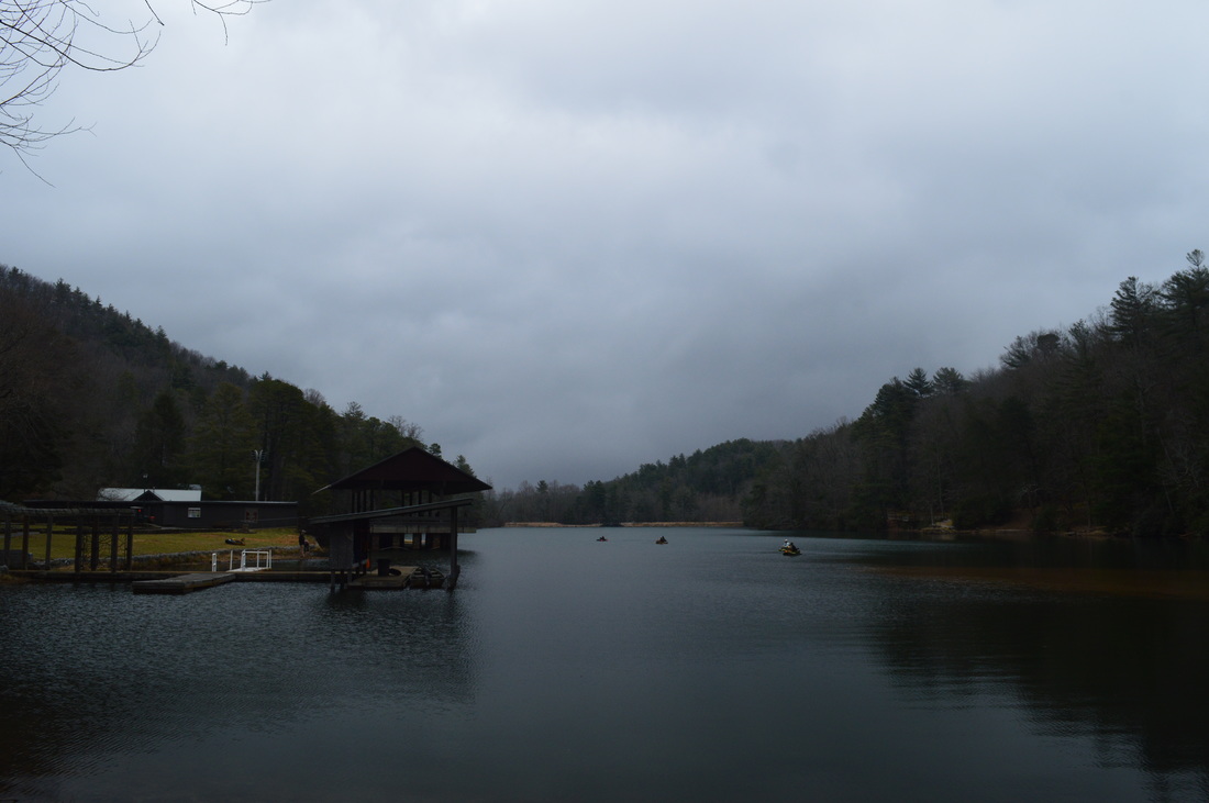
After the main hike, you can head out onto the Lake Trahlyta Trail, a 1-mile loop that circles Lake Trahlyta and visits Lake Trahlyta Falls.
Pictures
0 Comments
Leave a Reply. |
About MeMark Oleg Ozboyd Dear readers: I have invested a tremendous amount of time and effort in this website and the Georgia Waterfalls Database the past five years. All of the work that has gone in keeping these websites updated with my latest trip reports has almost been like a full-time job. This has not allowed me to pick up a paid job to save up money for college, and therefore, I I've had to take out loans. If you find the information on this website interesting, helpful, or time-saving, you can say "thanks" and help me out by clicking the button above and making a contribution. I will be very grateful for any amount of support you give, as all of it will apply toward my college tuition. Thank you!

Coming in 2022-2023?
Other Hiking WebsitesMiles HikedYear 1: 540.0 Miles
Year 2: 552.3 Miles Year 3: 518.4 Miles Year 4: 482.4 Miles Year 5: 259.9 Miles Archives
March 2021
Categories
All
|


 RSS Feed