The Tea Creek Wildlife Management Area is the little, less intimidating brother to the better-known Cranberry Wilderness. Located just northeast of the Cranberry Wilderness on the other side of the Williams River, the Tea Creek area features dozens of miles of hiking trails with many of the same rushing creeks and dark spruce forests. Unlike the Cranberry Wilderness, all trails in Tea Creek WMA are well-marked and easier to follow. The loop described here is a very nice introduction to the area, traversing a myriad of ecosystems across the headwaters of Right Fork Tea Creek. The hike begins in the vast Tea Creek Meadows alongside Highlands Scenic Highway and follows first Right Fork Tea Creek and then Red Run for the first several miles, passing along beaver-formed wetlands and through rock gardens. The return route traces a relaxing old logging grade along the higher and drier slopes of Gauley Mountain. This hike occurred on January 2nd, 2021. My plan was to hike the Right Fork Trail from Tea Creek Meadows to the Red Run Trail. I then followed the Red Run Trail to the Gauley Mountain Trail, and I took the Gauley Mountain Trail back toward Tea Creek Meadows. I closed off the loop along the Right Fork Connector Trail and exited via the Tea Meadows Interpretive Trail.
Summary
R/T Length of Trail: 7.1 miles
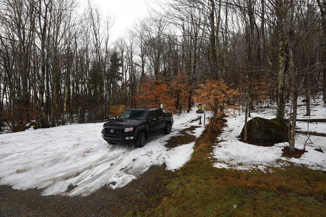
Duration of Hike: 3:15 Type of Hike: Loop Total Elevation Gain: 711 feet Difficulty Rating: 5 out of 10 Pros: Scenic views of creeks, wetlands, and red spruce thickets Cons: Two creek crossings may be hard to complete in winter or during wet periods Points of Interest: Wetlands around the headwaters of Right Fork Tea Creek; confluence of Right Fork Tea Creek and Red Run; Tea Creek Meadows Trail Blaze Colors: Right Fork Trail - Blue; Red Run Trail - Blue; Gauley Mountain Trail - Blue; Right Fork Connector Trail - Blue Best Seasons to Hike: Summer Fees: None Beginning Point: Tea Creek Meadows Trailhead by Little Laurel Overlook Directions from Marlinton, WV: From the intersection of US 219 and WV 39 (8th Street) within downtown Marlinton, follow US 219 North for 7.0 miles. Then, turn left onto Highlands Scenic Highway (WV 150), and continue for 5.7 miles to Little Laurel Overlook on your left. A short paved road on the right leads 100 feet to the Tea Creek Meadows parking area. Be advised that this section of Highlands Scenic Highway is not maintained during winter and may be potentially impassable at times from November through April. Map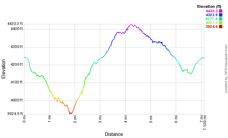
Click the link below to download a .GPX file with a track of this hike.
Details
My first visit to the state of West Virginia was in the summer of 2020. Stormy weather and multiple rounds of heavy rain thwarted some of my hiking plans, but I still managed to make a brief foray into the Dolly Sods Wilderness as well as an easy walk to the High Rocks vista off the Highlands Scenic Highway. After deciding to continue my college studies remotely in fall 2020 and spring 2021 due to Covid-19, I decided to temporarily move to West Virginia's Potomac Highlands and explore in more detail a region largely new to me. My first hiking opportunity of the new year came on the heels of a two-day heavy rain event, so I searched out a moderate-length hike with nice creek views, and concluded that this circuit in the Tea Creek headwaters would fit the bill.
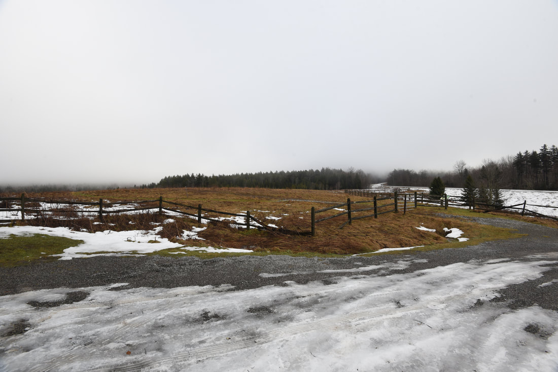
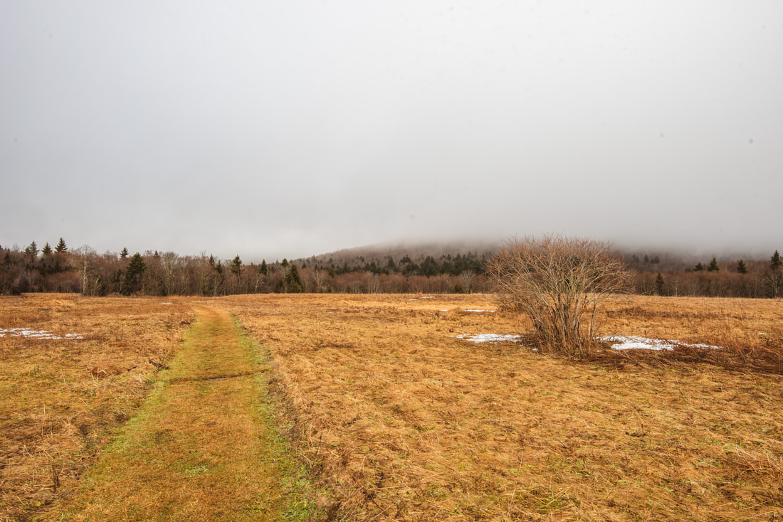
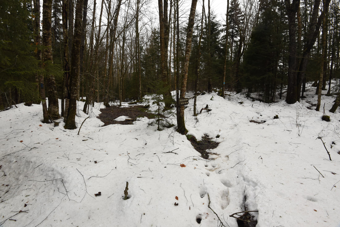
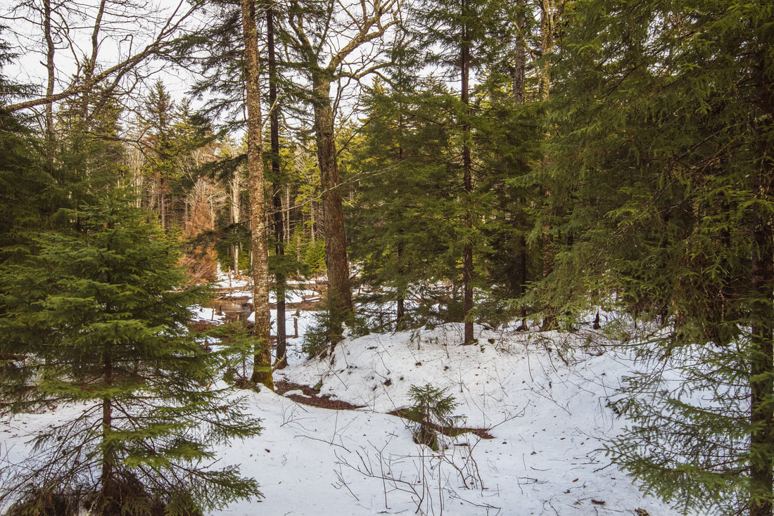
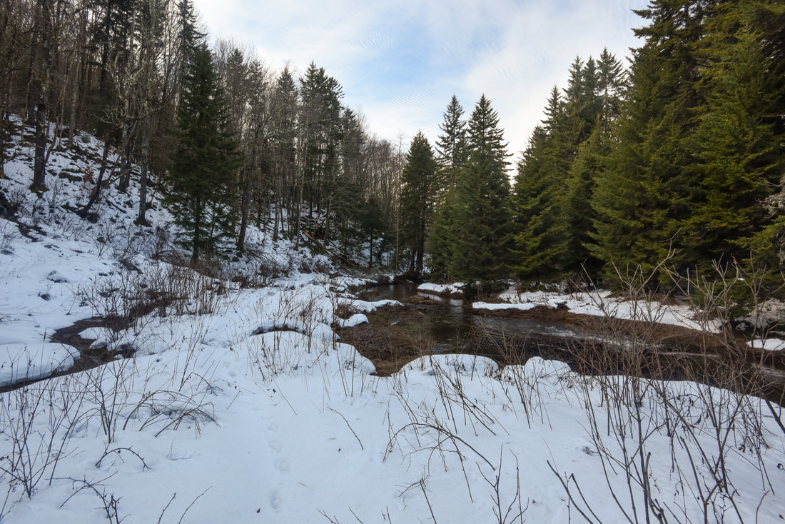
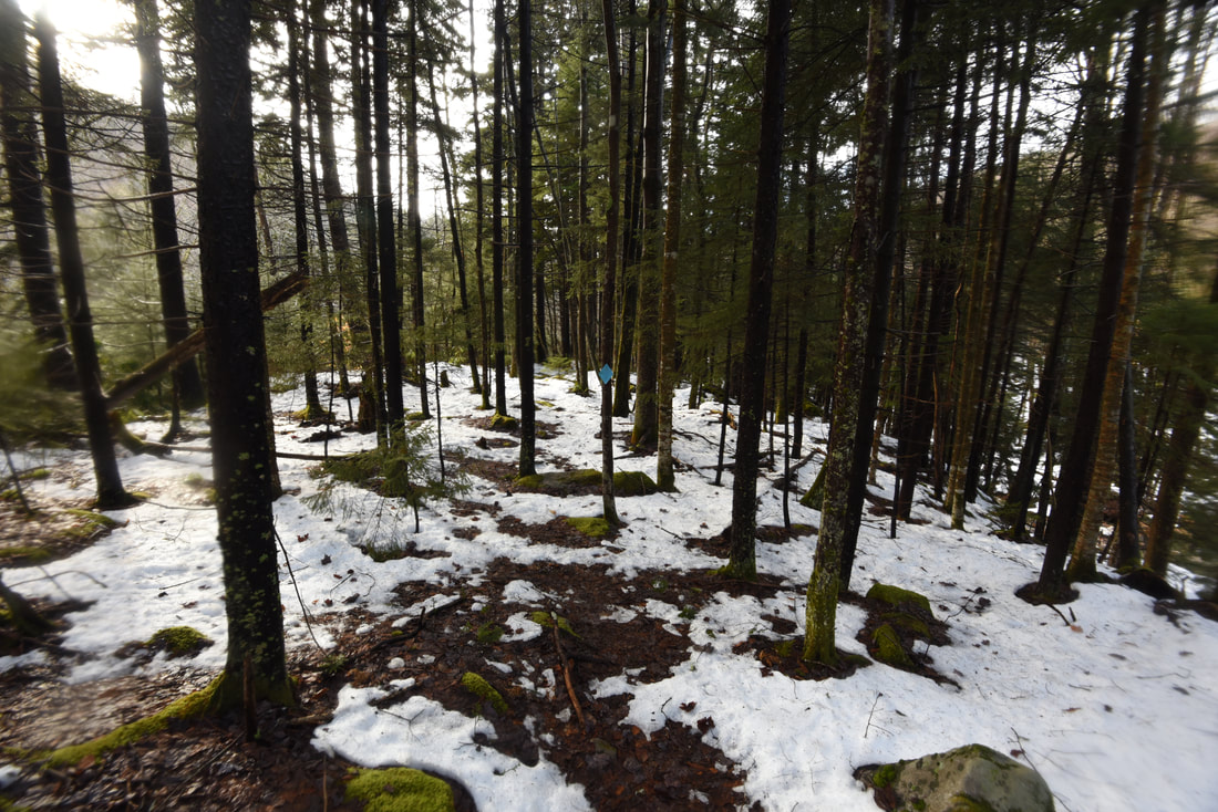
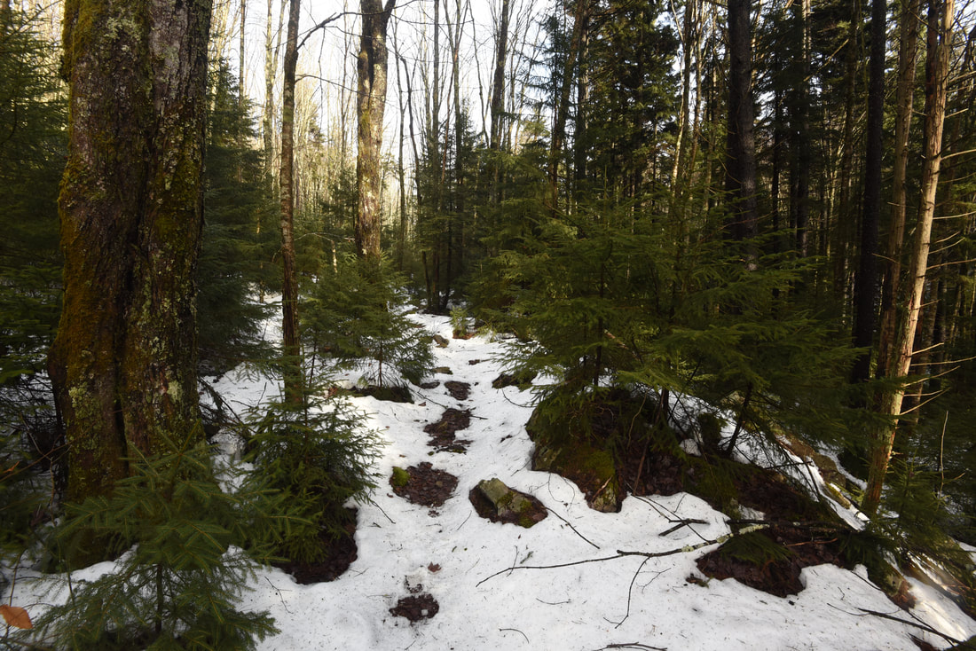
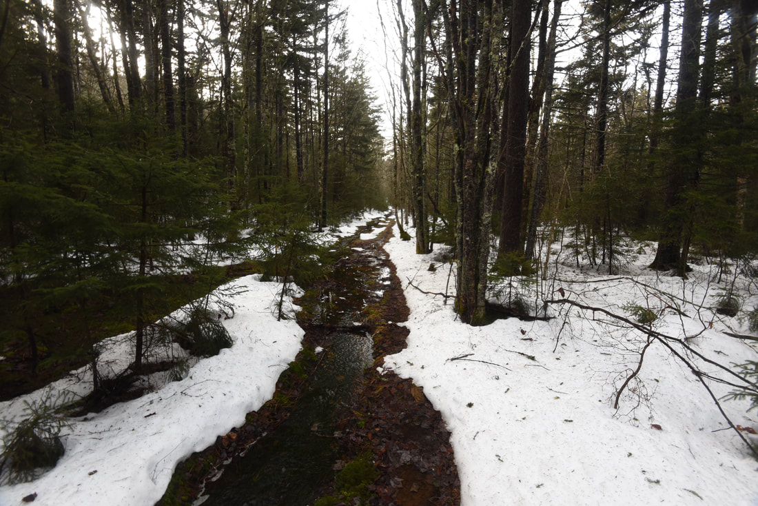
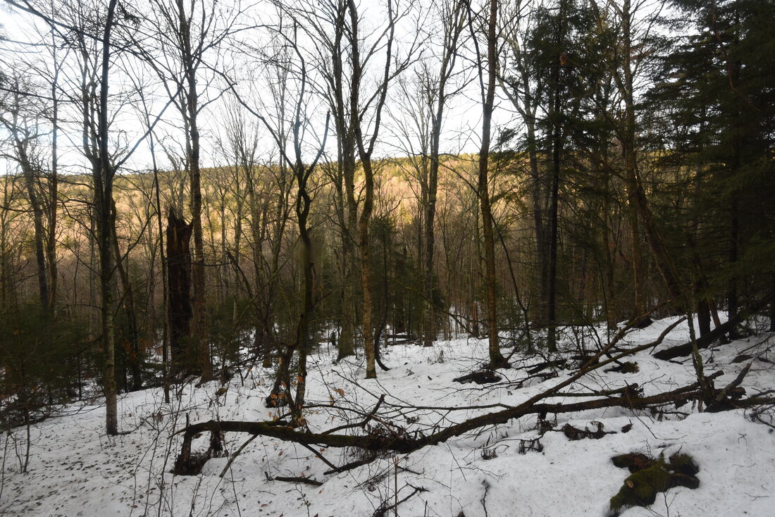
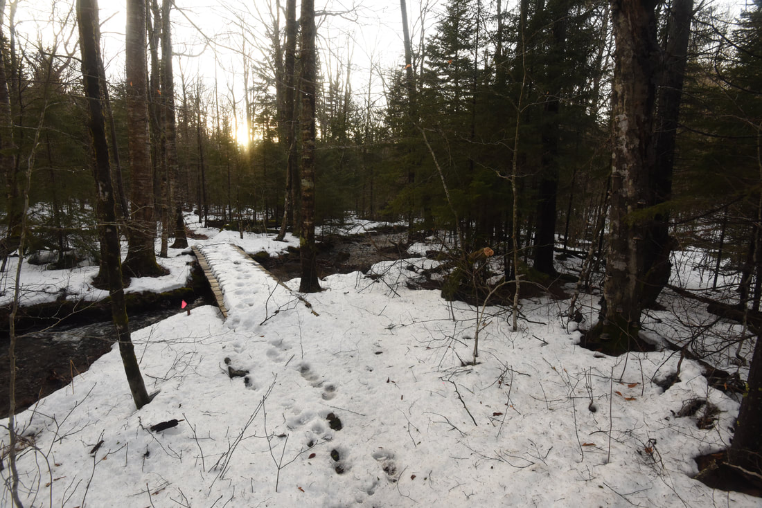
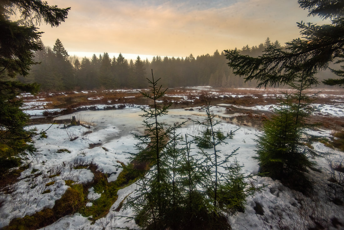
This hike begins in the Tea Creek Meadows, a large grassy expanse that lines the north side of the Highlands Scenic Highway near the headwaters of Right Fork Tea Creek. Directly across from the meadows is the Little Laurel Overlook, an impressive roadside vista looking south towards Red Spruce Knob and the upper Williams River valley. Three trails leave the trailhead. The well-signed Tea Creek Mountain Trail heads west into the hardwood forest at the back of the small parking area (this trail eventually descends into the Williams River valley and reaches Tea Creek Campground in 4.3 miles). Meanwhile, the Right Fork Trail and Tea Creek Interpretive Trail begin behind the gate in the meadows. The loop begins away, as you must bear left on the poorly-signed Right Fork Trail (while you will return from the interpretive trail on the right). I would like to point out that many maps show the Right Fork Trail actually splitting off from the Tea Creek Mountain Trail 0.2 mile from the parking area. This is incorrect; the two trails are entirely separated, and the first 0.2 mile of the Right Fork Trail passes through the west side of Tea Creek Meadows. As you walk through the grassy meadow, you will observe panoramic views of Tea Creek Mountain to the west and Gauley Mountain to the east. The trail exits the meadow and abruptly descends into the forest before reaching a junction with the Right Fork Connector Trail at 0.25 mile. This trail traverses the Right Fork Tea Creek headwaters and connects to the Gauley Mountain Trail, so you'll follow part of it on the way back. For now, bear left to stay on the Right Fork Trail, which picks up an old logging grade as it gently descends into the Right Fork valley. The forest is largely spruce in this area with a few hardwood trees mixed in. At 0.5 mile, the trail begins passing views of several beaver-created wetlands near Right Fork Tea Creek. As I was walking this part of the trail, I noticed a brown path of mud and dirt climbing the snowy slope from the wetlands and crossing the trail. My eyes traced the muddy track and led me to a tree that had been felled by a beaver literally moments before my arrival - fresh, bright wood chips were sprinkled all over the white snow. 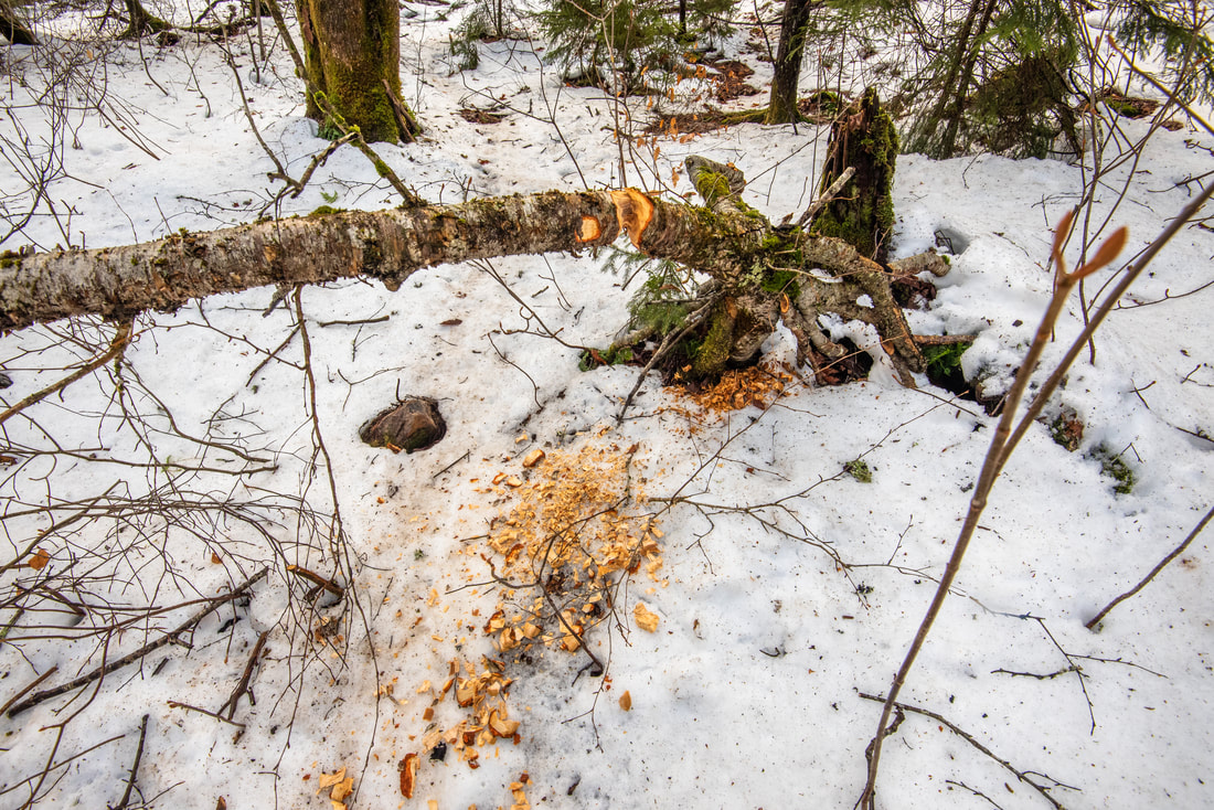
Fresh beaver handiwork along the Right Fork Trail
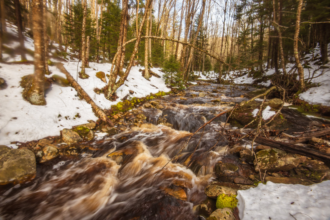
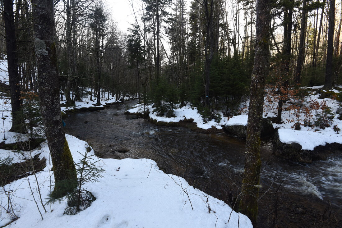
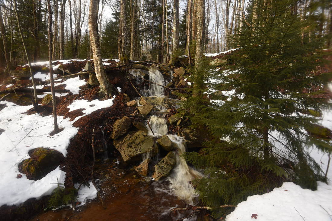
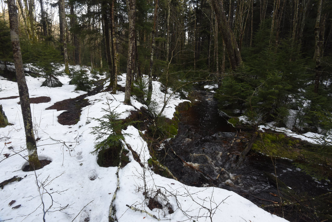
After crossing a couple of bridges across small side streams, the trail passes a particularly scenic view of Right Fork Tea Creek emerging in a gentle cascade from the spruce-lined wetlands around 1.0 mile. The trail jumps on and off the logging grade to avoid muddier areas, so pay close attention to the blazes. To be fair, I did this hike on a relatively warm day after several days of rain, and the deep snow cover on the ground was in the process of melting, so it was hard for me to tell which areas were normally dry. The entire trail had turned into a muddy stream! At 1.2 miles, the trail comes right alongside Right Fork Tea Creek at a scenic, open bend. Up ahead, the west side of the creek is entirely open hardwood forest, while the east side of the creek is encompassed by a dense, lush spruce grove. The trail then continues to closely follow the creek and passes several vibrant cascades. At 1.55 miles, reach a crossing of Right Fork Tea Creek, the largest creek crossing of the hike. I've read that at normal water levels, particularly in summer, this creek crossing tends to be an easy rock hop. However, on this wet winter day, the creek was quite swollen and the crossing was more than ankle-deep in places. With temperatures in the 30s, I relied on my waterproof snow boots to make the crossing, but to my dismay, the water did manage to overtop one of my boots near the far end...
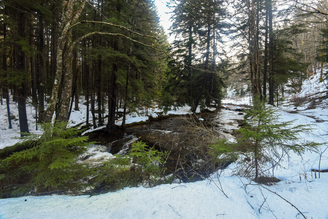
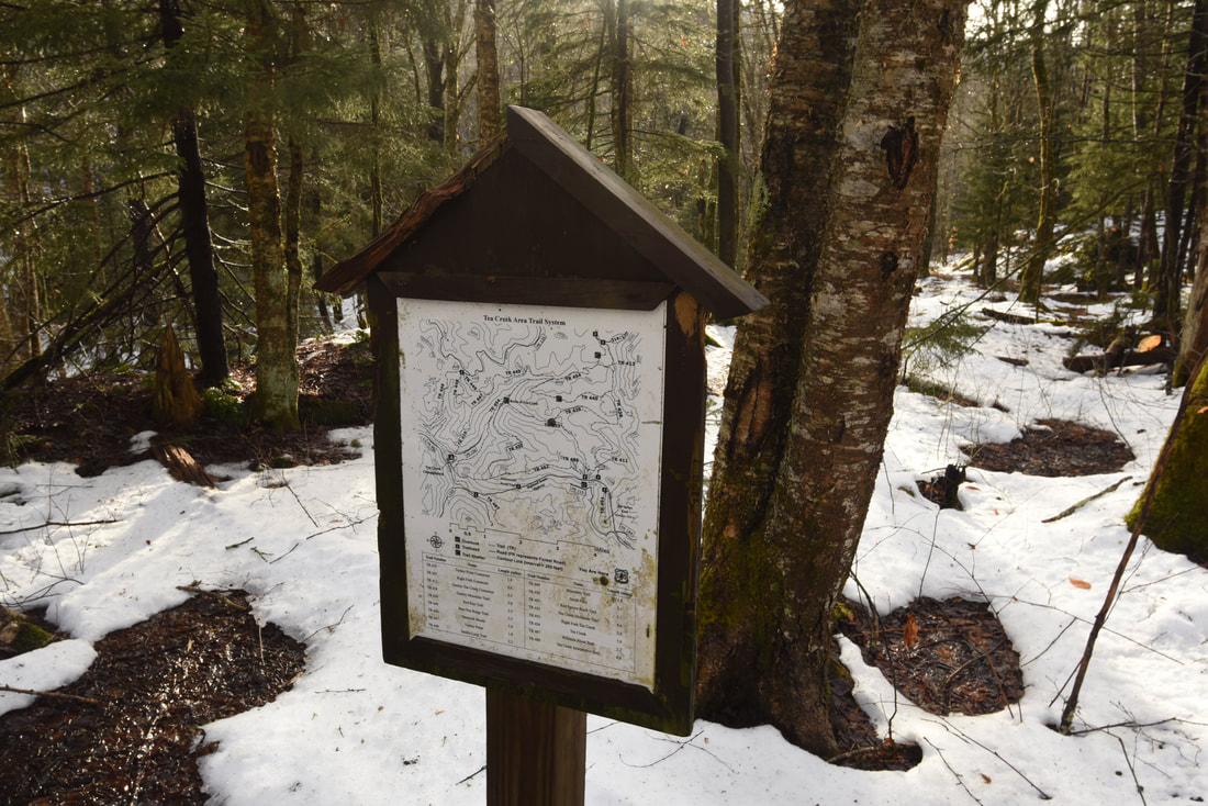
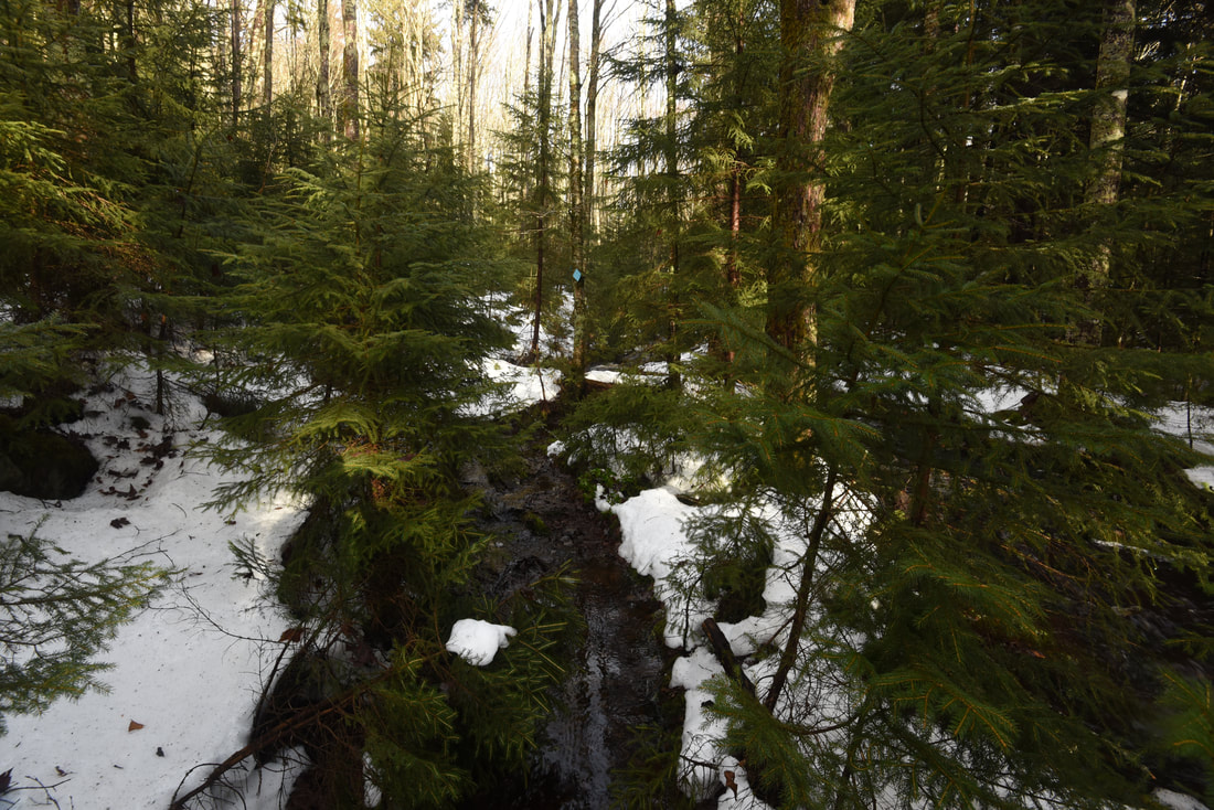
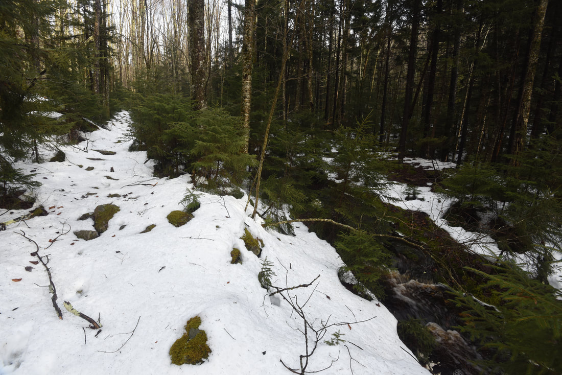
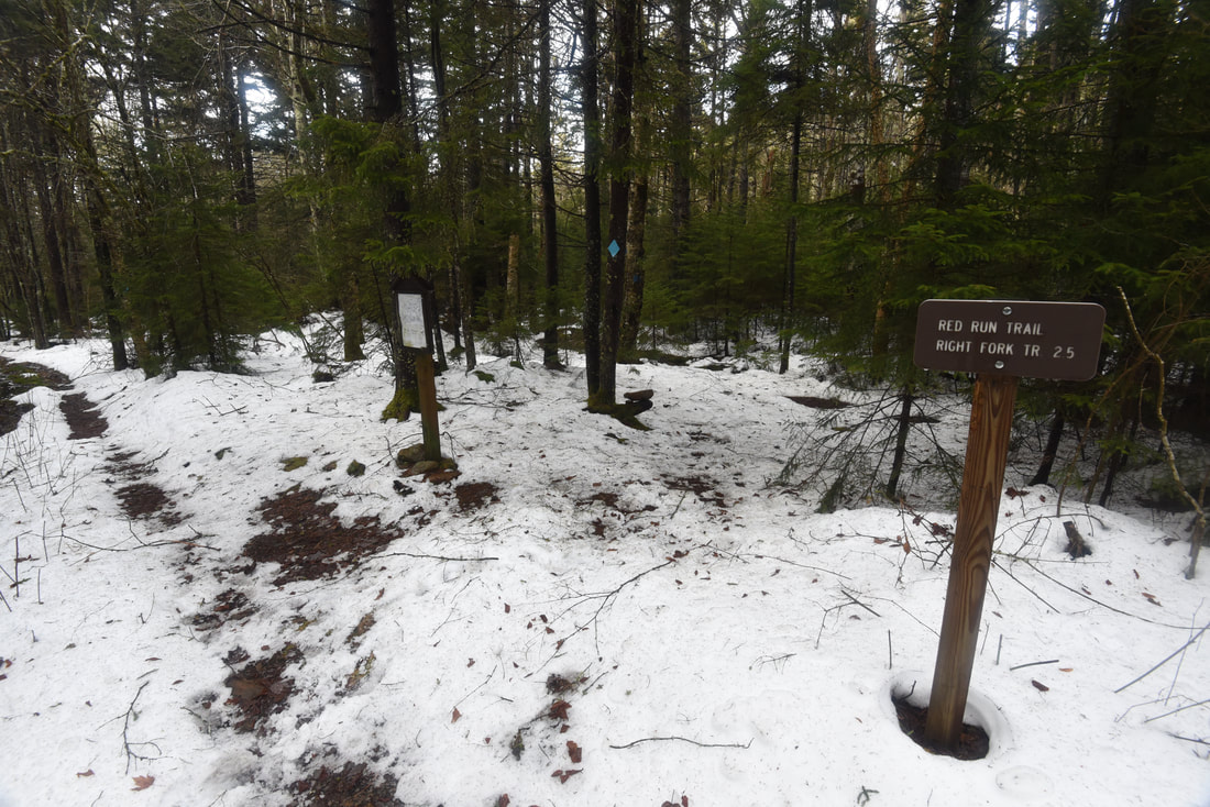
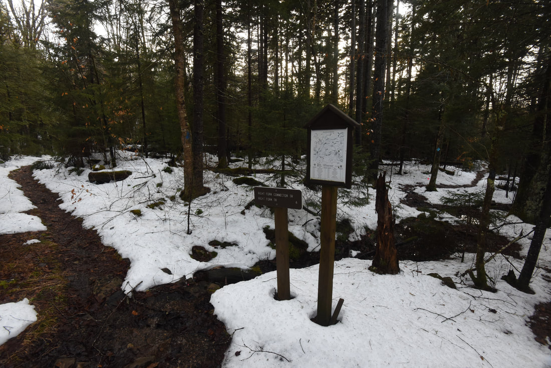
After the crossing, the trail rises onto a small knife-edge ridge slicing between Right Fork Tea Creek and Red Run, a major tributary. The open ridge provides panoramic views of both streams. The trail winds between sparse spruce trees and then makes a rough rock scramble down to a crossing of Red Run at 1.8 miles. Upon reaching Red Run, you will notice one great difference: the brownish tannic waters of Red Run lie in stark contrast to the dark but clear waters of Right Fork Tea Creek. Naturally, all creeks in this area used to look like Red Run due to the acidic soil found within spruce forests, which would then leak acid into the creeks. However, the Forest Service has placed a lime depositing station at the headwaters of Right Fork Tea Creek to reduce the creek's acidity, in order to transform it into a suitable habitat for trout. Red Run's murky waters represent a stream more typical for its origins in a forest of red spruce. The Red Run crossing will be a rock hop under most conditions, but it was still running high this day, nearly ankle-deep. As you cross, note the colorful greenish stones lining the creek, corroded by acid over the years. Pick up a flatter trail on the other side of the crossing and reach a junction with the Red Run Trail at 1.9 miles. A miniature wooden kiosk with a trail map of Tea Creek WMA denotes the intersection; trail maps like this are generally posted at every trail junction in the WMA. The Right Fork Trail bears left, shortly thereafter makes a second crossing of Right Fork Tea Creek, and continues another one and a half miles to the Forks of Tea Creek, where there is a trail shelter and more scenic creek views. This hike bears right on the Red Run Trail, which picks up another logging grade as it begins a gradual climb out of the Right Fork valley. Note that the sign incorrectly denotes the Red Run Trail mileage as 2.7 miles; my GPS measured it as 1.9 miles, which seems closer to reality based on other trail descriptions I've read online. 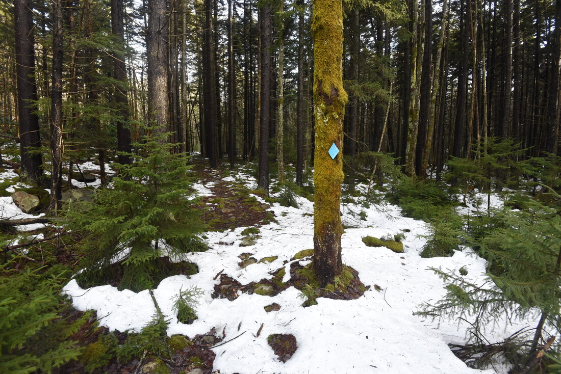
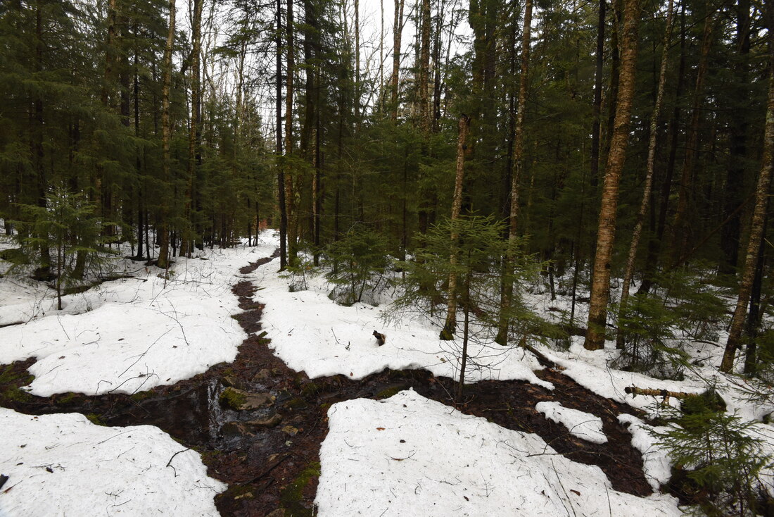
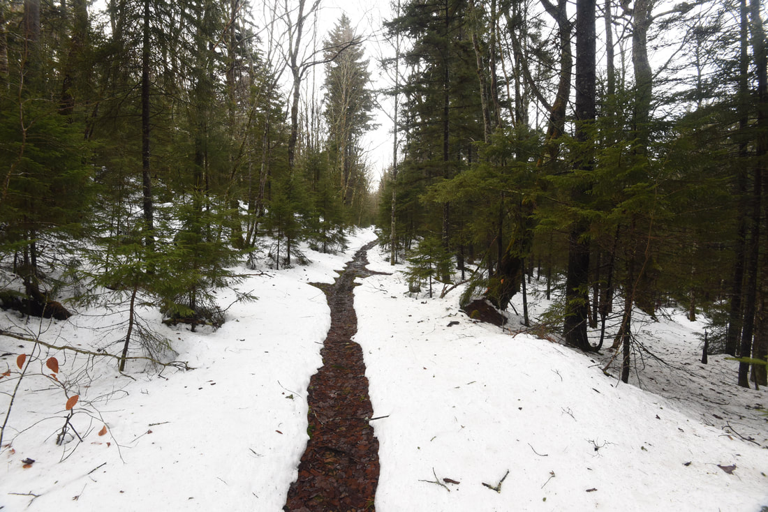
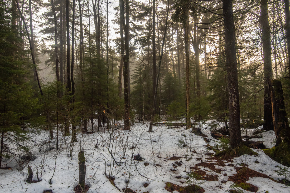
The Red Run Trail in its upper reaches meanders through a very beautiful, lush red spruce forest
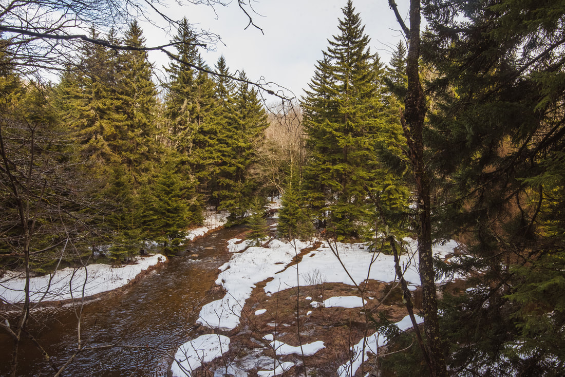
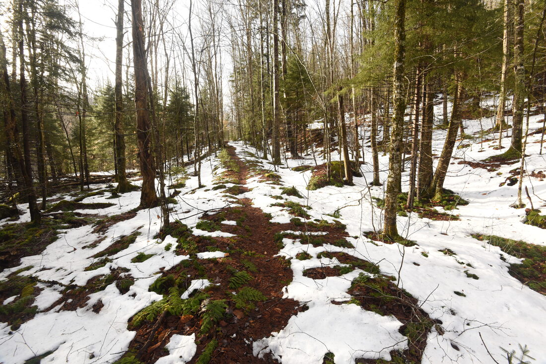
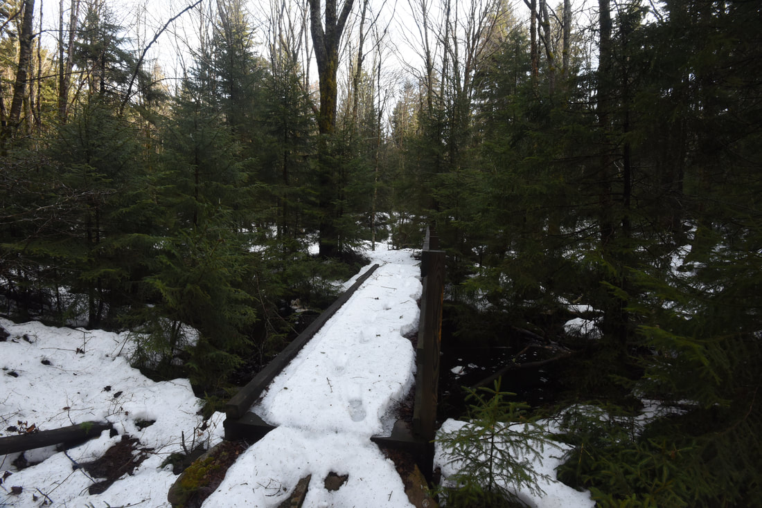
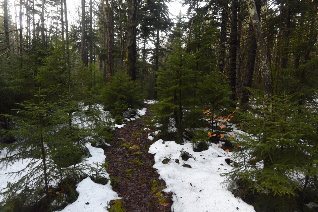
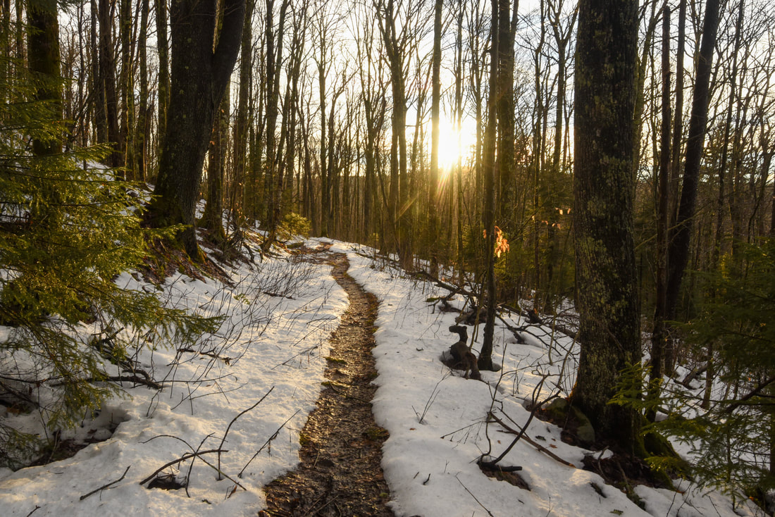
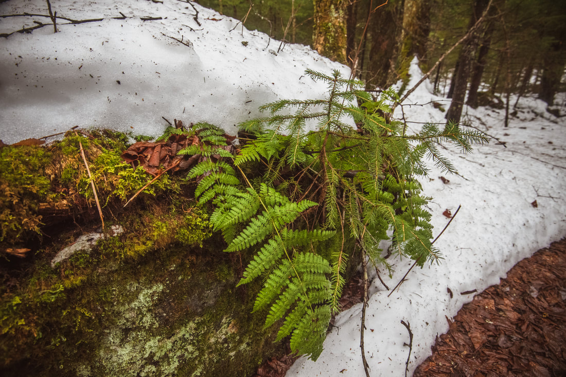
For its first 1/2 to 3/4 mile, the Red Run Trail ascends a sunny and relatively dry slope at a gentle grade well above Red Run. But around 2.5 miles, the trail again comes alongside the cascading waters of Red Run and gradually enters a shady spruce forest. This is one of my favorite parts of the trail thanks to all the lush woods that the trail meanders through, plus the numerous scenic stream views. It is also one of the muddier sections of the hike. As you walk through the spruce forest, observe the hundreds of mossy stones scattering a carpet of green through the woods. Around 3.3 miles, the trail crosses a small footbridge over a side stream and passes the confluence of two branches coming together to form Red Run. Even here, the acidity of the forest shines through in the water's tannic brown coloring. The trail then leaves Red Run for good, but it remains very rocky and slightly hard to follow as it meanders between the stately spruce trunks.
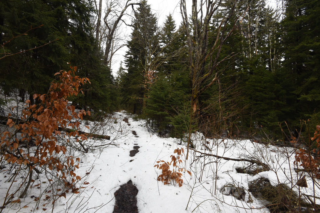
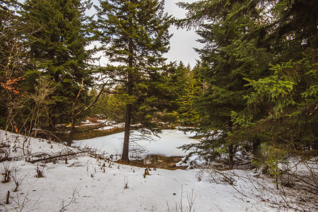
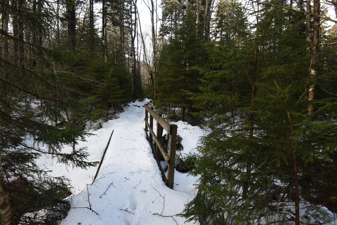
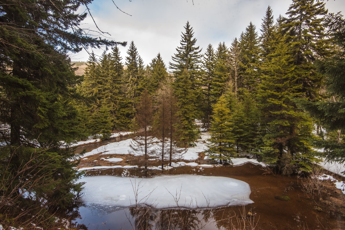
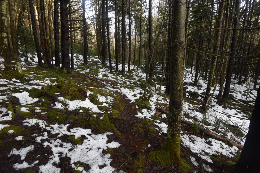
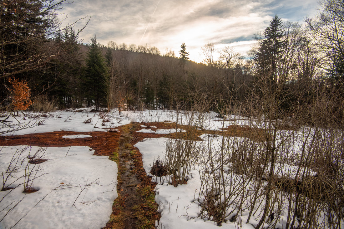
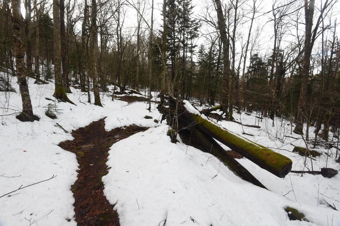
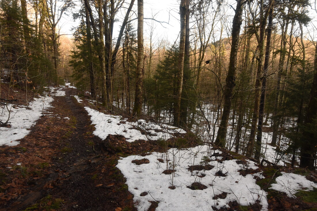
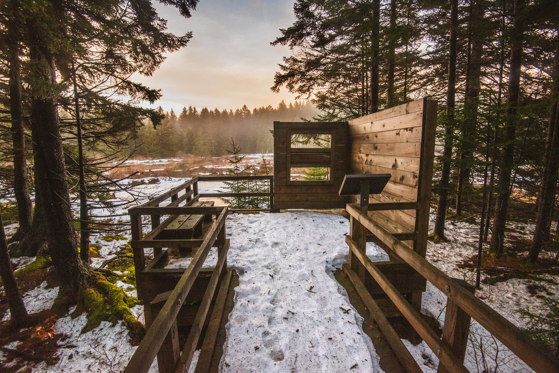
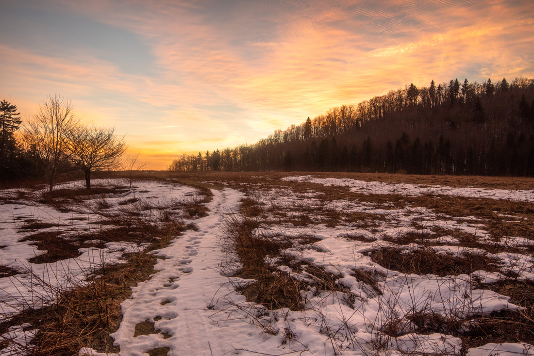
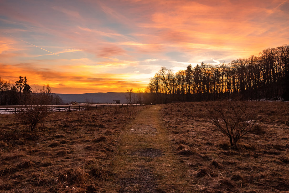
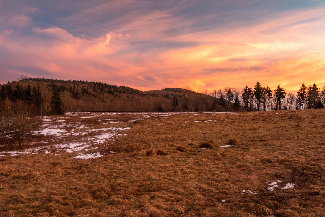
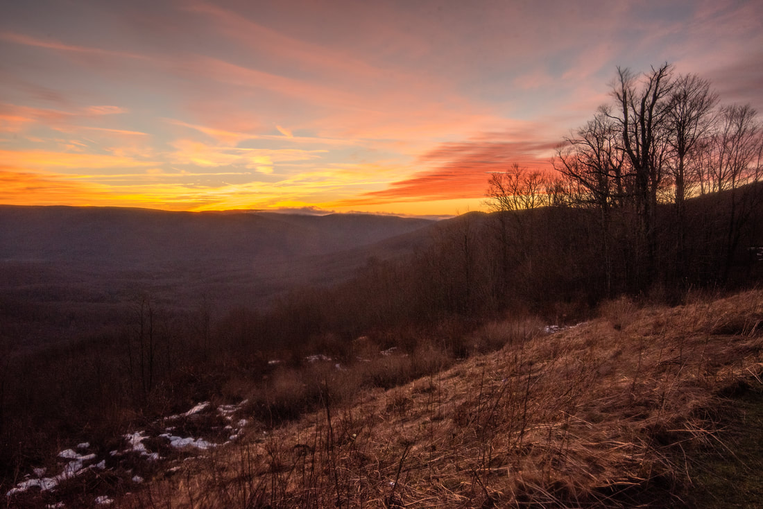
Suddenly, pop out to a junction with the Gauley Mountain Trail at 3.8 miles. In relation to the faint, twisting Red Run Trail, the broad Gauley Mountain Trail resembles a superhighway, as it follows a well-defined old logging grade. To the left, the Gauley Mountain Trail emerges on top of the Gauley Mountain ridge and follows it for a couple miles to a trailhead on FS 24, passing several other trails to Tea Creek along the way. This hike turns right on the Gauley Mountain Trail to start heading back south. This part of the hike is very easy with essentially no elevation change, and the trail leaves the spruce forests of Right Fork and Red Run. After circumnavigating a lead from Gauley Mountain, the trail passes through an overgrown meadow at 5.1 miles and crosses a small branch of Right Fork Tea Creek. The trail then angles around another Gauley Mountain lead while passing very nice seasonal views of the Tea Creek valley and Tea Creek Mountain. At 6.0 miles, after a gentle descent, arrive at a junction with the Right Fork Connector Trail. While the Gauley Mountain Trail continues just 0.4 mile to another trailhead on the Highlands Scenic Highway, you want to turn right on the connector trail to close off the loop. The connector trail enters another area of spruce forest in the headwaters of Right Fork Tea Creek, crossing a large branch of the stream via footbridge at 6.2 miles. Soon thereafter, the trail passes several fleeting views of beaver-created wetlands to the right. I was finishing the hike around sunset, and these wetlands were draped in a beautiful pink-tinted mist. At 6.5 miles, intersect the Tea Creek Interpretive Trail. The exit route to the trailhead is the graveled pathway on the left, but before that, I highly recommend a quick 0.1-mile side trip along the boardwalk on your right. It leads to a couple of open views of the expansive wetlands near Right Fork Tea Creek, and if you stay still and quiet, this is a great spot to look for wildlife. After you finish observing the wetlands, return to the junction and follow the graded gravel path out as it rises into Tea Creek Meadows. As I concluded the hike in the same meadow that it started, I was awestruck by the brilliant streaks of pink and orange overspreading the sky. It was a remarkable change in weather from the pea-soup fog I had began the hike in a few hours earlier. You will reach your car and finish the hike at 7.1 miles. 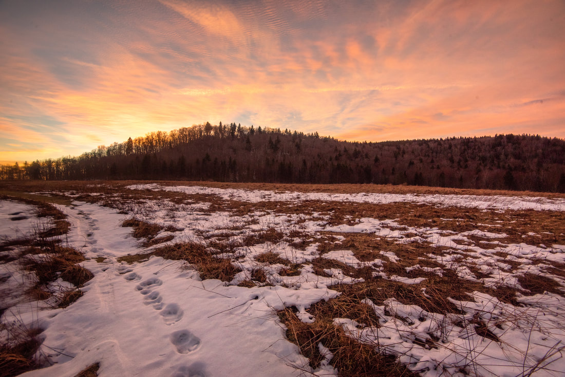
Streaks of pink and orange saturated the evening sky as I concluded my hike in Tea Creek Meadows
Photo Gallery
0 Comments
Leave a Reply. |
About MeMark Oleg Ozboyd Dear readers: I have invested a tremendous amount of time and effort in this website and the Georgia Waterfalls Database the past five years. All of the work that has gone in keeping these websites updated with my latest trip reports has almost been like a full-time job. This has not allowed me to pick up a paid job to save up money for college, and therefore, I I've had to take out loans. If you find the information on this website interesting, helpful, or time-saving, you can say "thanks" and help me out by clicking the button above and making a contribution. I will be very grateful for any amount of support you give, as all of it will apply toward my college tuition. Thank you!

Coming in 2022-2023?
Other Hiking WebsitesMiles HikedYear 1: 540.0 Miles
Year 2: 552.3 Miles Year 3: 518.4 Miles Year 4: 482.4 Miles Year 5: 259.9 Miles Archives
March 2021
Categories
All
|
||


 RSS Feed