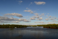
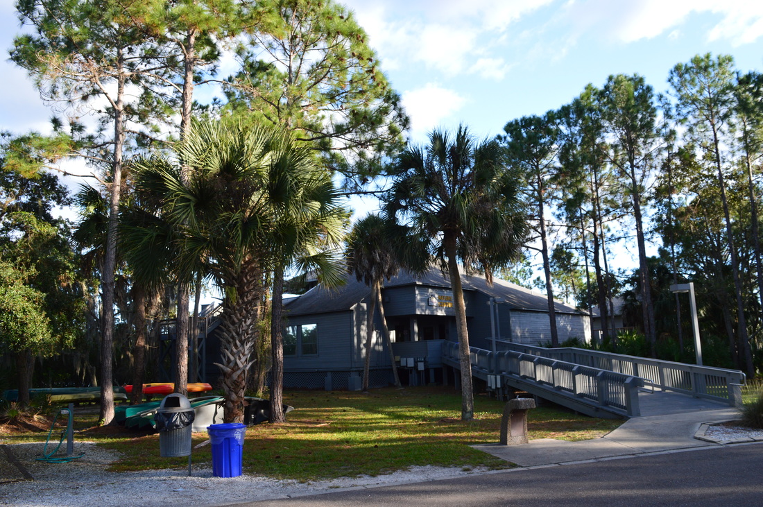
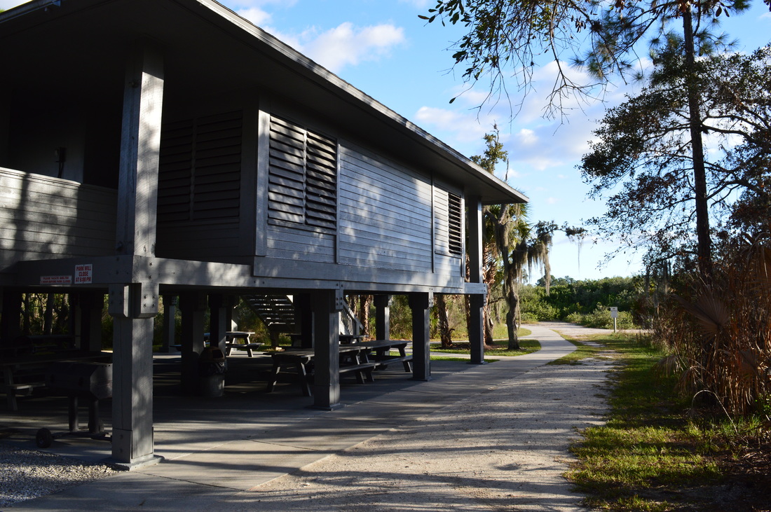
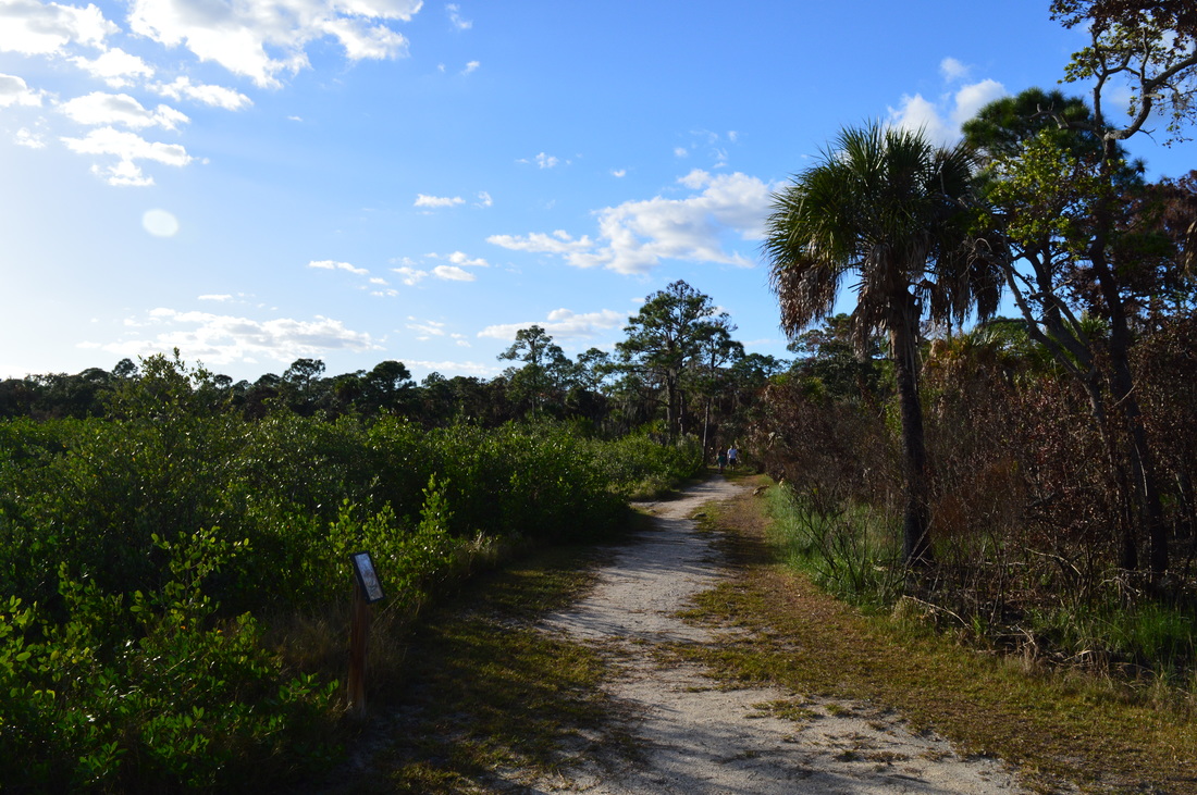
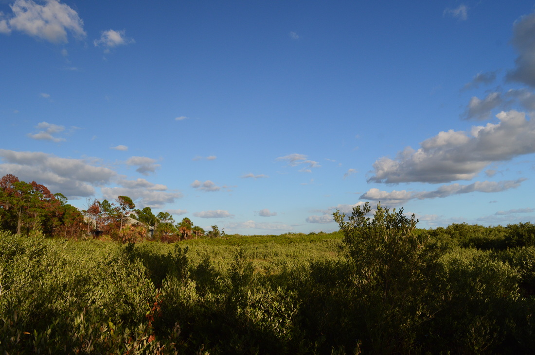
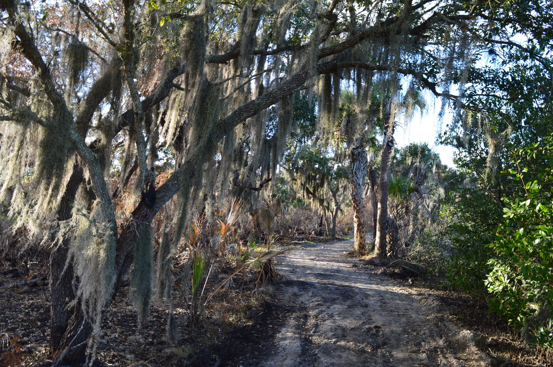
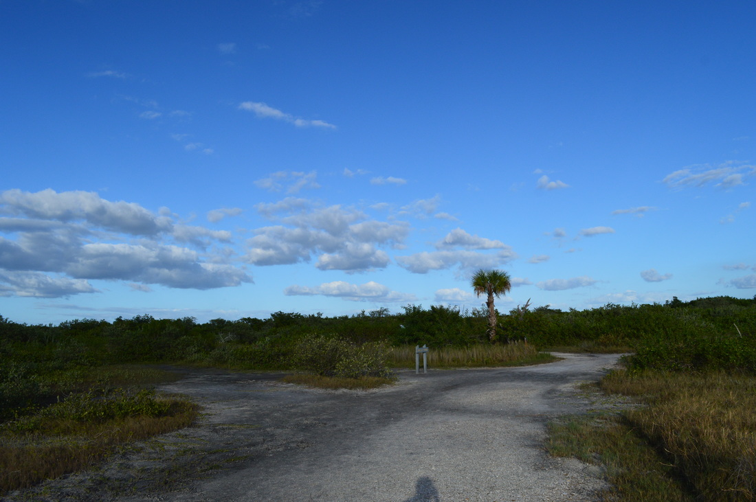
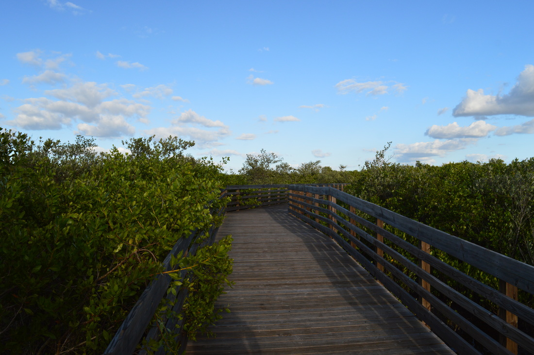
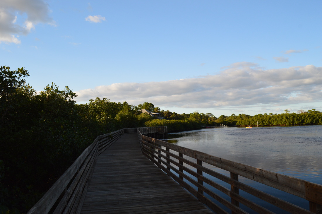
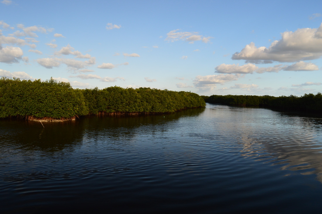
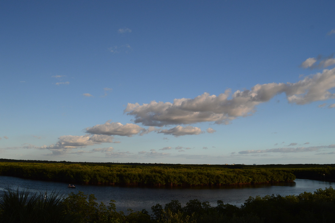
 Protecting over 2000 acres of land along and near Old Tampa Bay, this park is an important preserve of one of the few natural habitats along Tampa Bay, where most of the shoreline is now developed and the native ecosystems are gone. The park has three trails that explore different ecosystems near the bay. On this short trail, you'll get to see some of the salt marshes and marl prairies that are found along this section of Old Tampa Bay. You'll also take a close look at Double Branch Creek, an estuary near Old Tampa Bay. This hike occurred on Saturday, November 28th, 2015. My plan was to hike the Bobcat Trail counter-clockwise. This would be the second out of three trails in the park that I hiked on this day. SummaryR/T Length of Trail: 0.6 Miles Duration of Hike: 0:20 Type of Hike: Loop Difficulty Rating: 1 out of 10 Pros: Observation decks provide excellent views of Double Branch Creek Cons: None Points of Interest: The views of Double Branch Creek Trail Blaze Color(s): None Best Season(s) to Hike: Year-round Beginning Point: Upper Tampa Bay County Park Nature Center Directions: From Oldsmar, FL: From where FL State Route 580 and FL State Route 584 join together, follow FL 580 (Tampa Road) East for 1.6 miles. Then, turn right onto Double Branch Road and continue on it for 0.4 miles. Near the end of the road, you will see the entrance to Upper Tampa Bay County Park to your right. Enter the park, pay your $2 fee, and continue on the park road for 0.8 miles to a small one-way loop at the end of the road. There is a parking area here, and the nature center is located next to the road. MapA map and some other information regarding this hike can be viewed here. DetailsWhen one looks at the Tampa Bay and the Tampa Bay Metro Area, it is hard to imagine there is an undeveloped or preserved section of shoreline in an area with a population of over 4 million people. In the southeastern corner of Tampa Bay, there is a relatively new state park known as Terra Ceia Aquatic Preserve, but it's not really open to public yet - and there's no hiking trails. However, there is another location, known as Upper Tampa Bay County Park, and this is one of the few locations with hiking trails along and near Tampa Bay. While these hiking trails are nothing much more than a few 20-minute nature walks, it's still nice to know that a preserve such as this one exists in the densely populated Tampa Bay Area. This short hike was the second trail I did in Upper Tampa Bay County Park. This trail, the Bobcat Trail, is the most popular of the park's three trails. It is also the most scenic, with good views of salt marshes and Double Branch Creek. The trail starts behind the nature center, where there is a sign for the loop. I decided to hike the loop counter-clockwise, so I turned right at the start of the loop. The trail follows the edge of a salt marsh area to your left. Meanwhile, there is dense forest to your right. This is an interesting ecotone (the boundary between two different ecosystems). The trail can get muddy in some spots if you're hiking it after a big rain event. However, the trail is wide and easy to follow, just like the Eagle Trail. At 0.3 miles, you're in the middle of the salt marshes, with a marl prairie to your right. Some spur trails head off into the marl prairie. After this, a boardwalk begins across the salt marsh. At 0.35 miles, you reach Double Branch Creek. This estuarine waterway is popular with beginner paddlers/kayakers, and you may see some on the water. The boardwalk follows the edge of the creek, providing good views both upstream and downstream from a bend of the creek here. At 0.5 miles, you reach the nature center. The trail turns left to the trailhead, but before you end the loop, continue straight up some steps on the side of the nature center building. The steps end at an observation deck at the nature center's top floor. From here, there is a beautiful view of Double Branch Creek and the salt marshes that surround the creek. This is a vista not to be missed. From here, descend back down the steps, and take a boardwalk between the nature center's two buildings to return to the trailhead at 0.6 miles. VariationsNone Bonus StopsThe Eagle Trail and Otter Trail in Upper Tampa Bay County Park PicturesVideos
4 Comments
5/19/2021 02:59:23 am
Very interesting park. Now I want to go there as soon as possible 7/12/2022 01:05:21 pm
This short hike was the second trail I did in Upper Tampa Bay County Park. This trail, the Bobcat Trail, is the most popular of the park's three trails. It is also the most scenic, Thank you, amazing post! 8/2/2022 03:32:18 pm
In the southeastern corner of Tampa Bay, there is a relatively new state park known as Terra Ceia Aquatic Preserve, but it's not really open to public yet - and there's no hiking trails. Thank you, amazing post! 9/23/2022 02:03:33 am
Great! I'm glad I found this one. Continue to post. A fascinating park. I'm eager to get there as soon as possible. Leave a Reply. |
About MeMark Oleg Ozboyd Dear readers: I have invested a tremendous amount of time and effort in this website and the Georgia Waterfalls Database the past five years. All of the work that has gone in keeping these websites updated with my latest trip reports has almost been like a full-time job. This has not allowed me to pick up a paid job to save up money for college, and therefore, I I've had to take out loans. If you find the information on this website interesting, helpful, or time-saving, you can say "thanks" and help me out by clicking the button above and making a contribution. I will be very grateful for any amount of support you give, as all of it will apply toward my college tuition. Thank you!

Coming in 2022-2023?
Other Hiking WebsitesMiles HikedYear 1: 540.0 Miles
Year 2: 552.3 Miles Year 3: 518.4 Miles Year 4: 482.4 Miles Year 5: 259.9 Miles Archives
March 2021
Categories
All
|


 RSS Feed