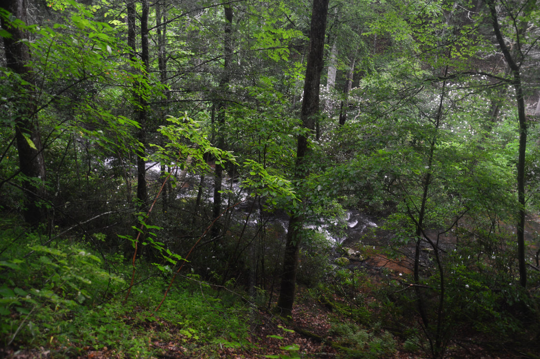
Canada Creek is one of my favorite mountain streams in North Georgia, due to a perfect combination of beauty, remoteness, and ease of access at each of the creek's four scenic waterfalls. A network of unofficial trails used by fishers and hunters weave around Canada Creek and provide fairly easy access to each of its waterfalls. The hikes to each particular waterfall aren't too long, but seeing all of the waterfalls together will take a good part of the day. A topographic map and compass are recommended for hikers who venture into the Canada Creek area, because many disorienting trail junctions are found throughout the trail system, and some of the paths are faint. This hike occurred on Saturday, July 1st, 2017. My original plan was to hike out and back to Yukon Falls on Canada Creek from the Upper Canada Creek Trailhead. After seeing the roaring state of the Yukon Falls though, I decided to use a connector to access Alberta Falls on Canada Creek and then loop back using a couple of roads.
Summary
R/T Length of Trail: 7.3 Miles
Duration of Hike: 3:45 Type of Hike: Loop Difficulty Rating: 5 out of 10 Total Elevation Gain: 1129 Feet Pros: Lack of people despite surprising ease of access Cons: Several confusing unmarked intersections Points of Interest: Yukon Falls - 7 stars; Alberta Falls - 8 stars Trail Blaze Colors: None, not an official trail Best Seasons to Hike: Spring Fees: None Beginning Point: Gated logging road off Cooper Gap Road Directions from Suches, GA: From Highway 60 in Suches, follow Cooper Gap Road south for 0.9 miles. Just before the intersection with the dead-end Wildhog Creek Road on the right, there will be a gated logging road on the right. Park near the gate without blocking it - there is space for a few cars. Map
Click here to download a track of this hike.
Details
My first visit to the Canada Creek area was in January 2016. At the time, I used the shortest route to access thefirst three waterfalls on the creek. I did not hike to Yukon Falls because I thought that it is easiest to access from an upper trailhead off Cooper Gap Road, where this hike began today. By mere chance though, I stumbled upon a well-used connector trail between Alberta Falls and Yukon Falls, which makes it a lot easier to see all of the four waterfalls in one day. This trail report describes how to get to Yukon Falls from the upper trailhead and how to use the connector trail to get to Alberta Falls and the lower trailhead. I plan on making another visit to the Canada Creek area in the near future to explore some more hiking possibilities on the north side of the creek.
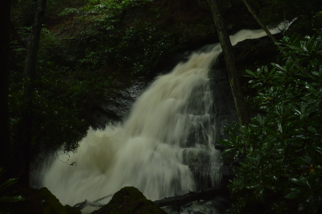
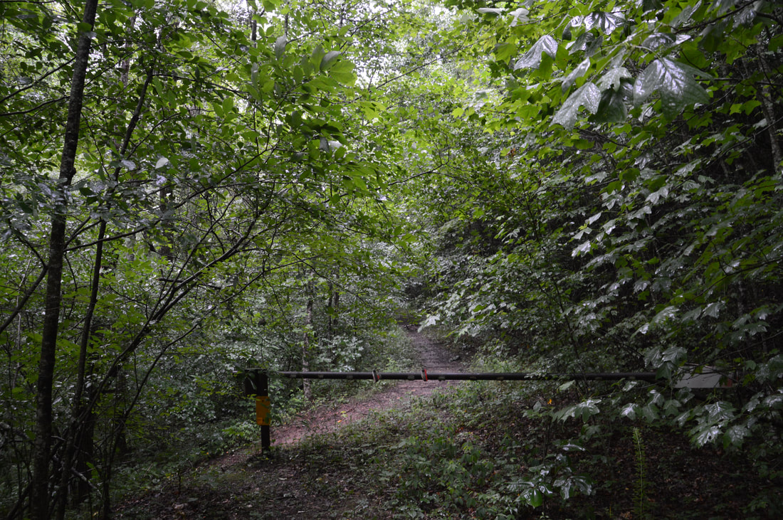
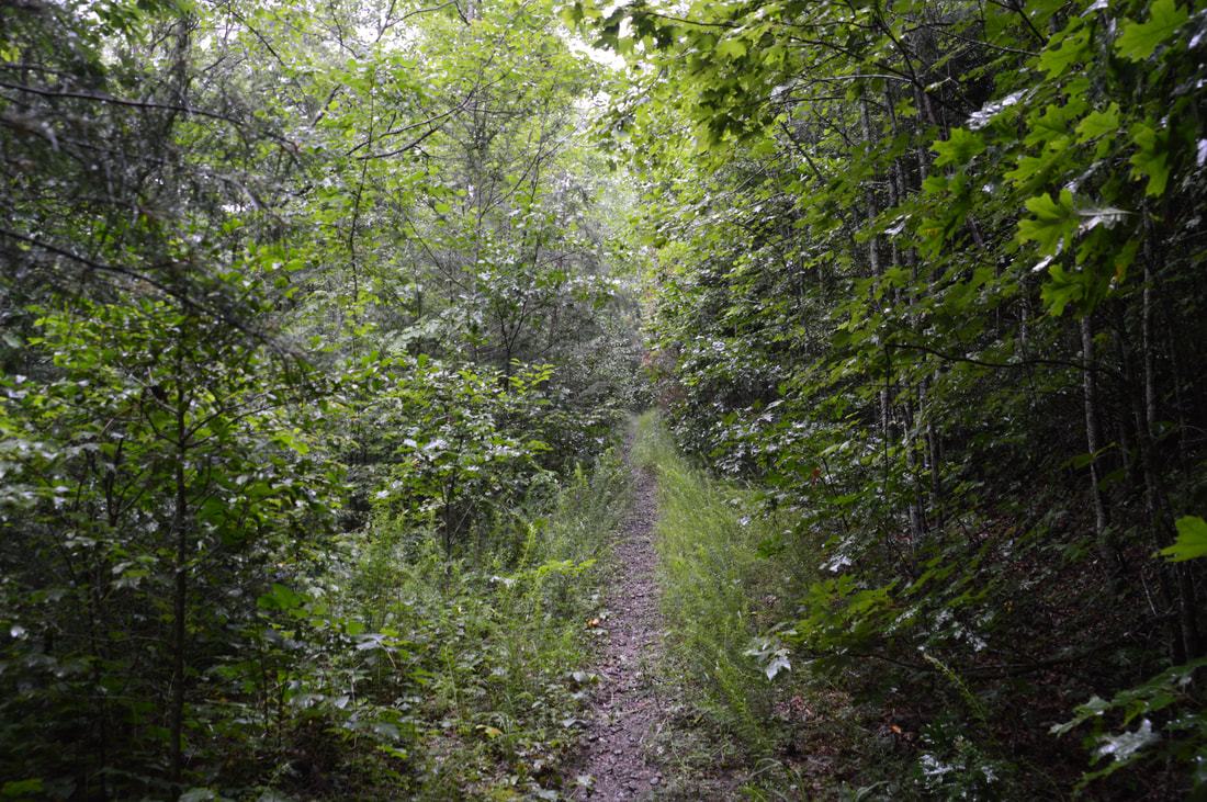
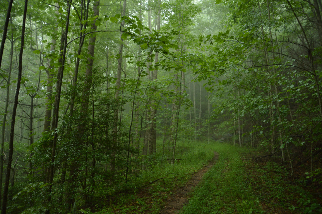
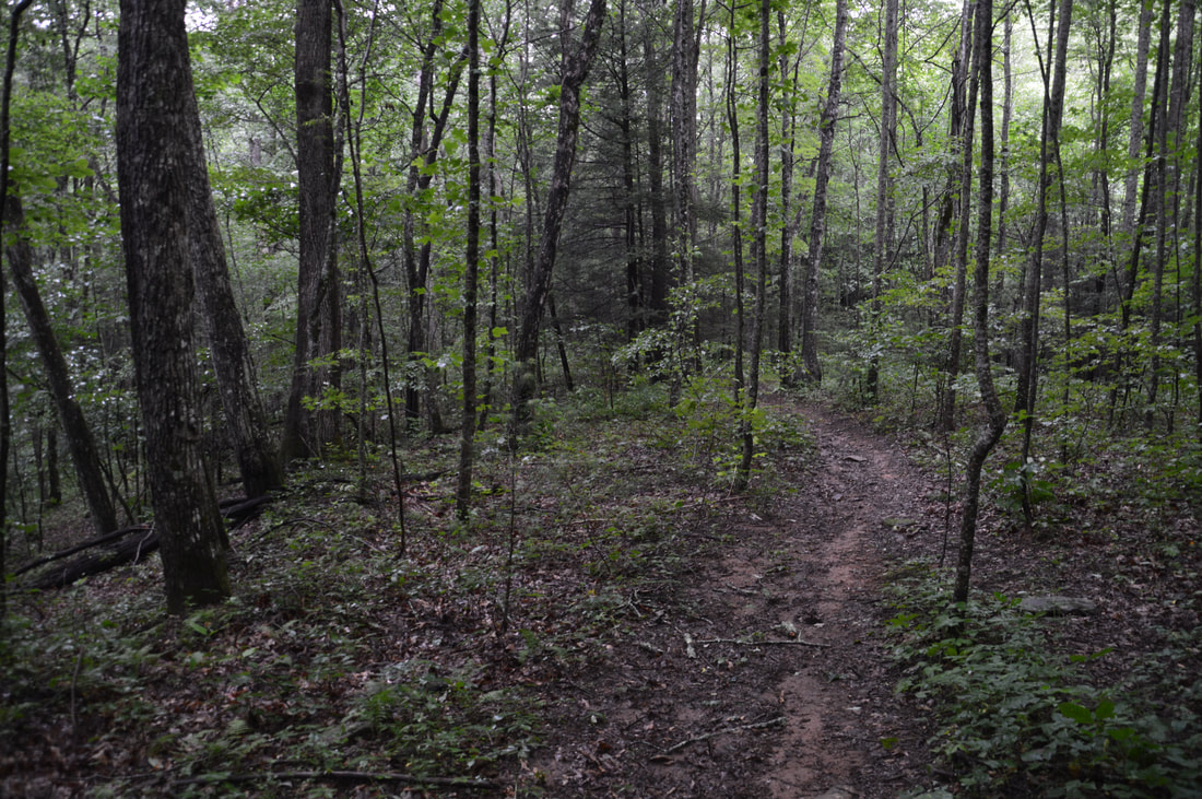
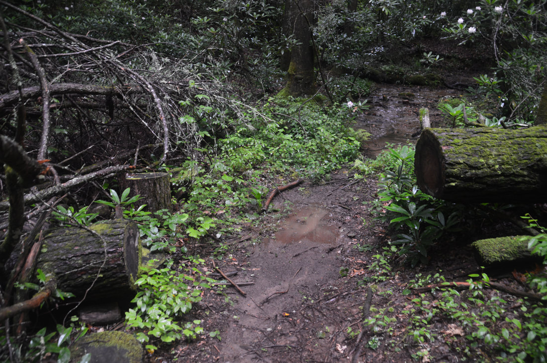
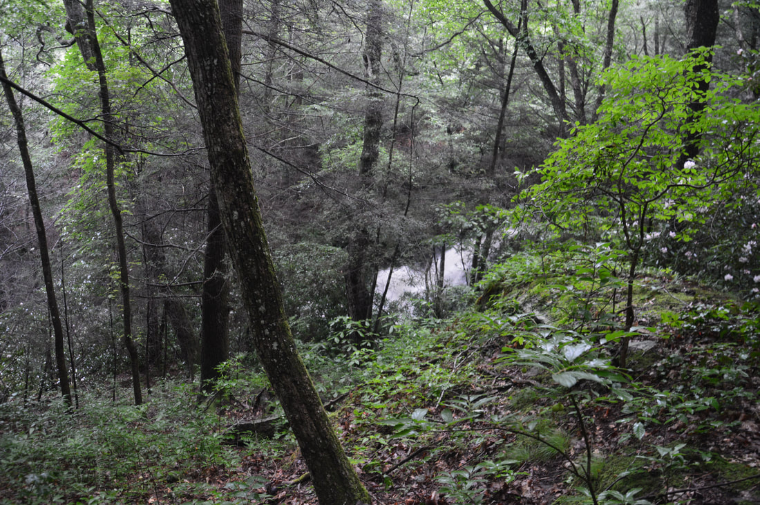
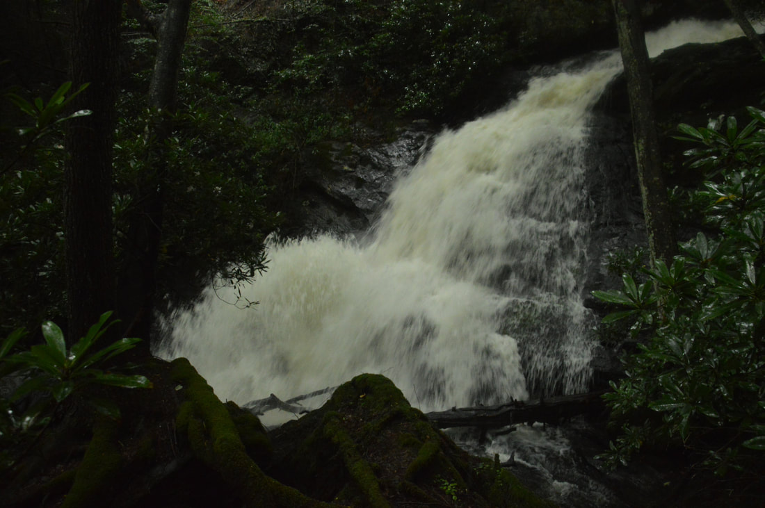
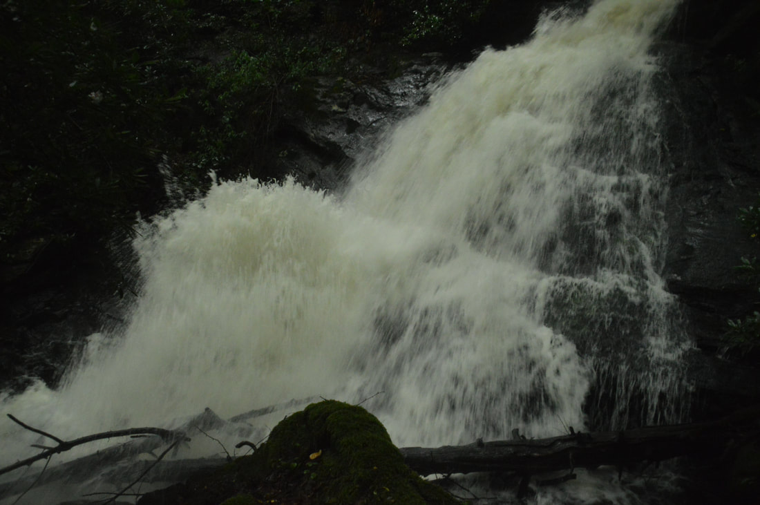
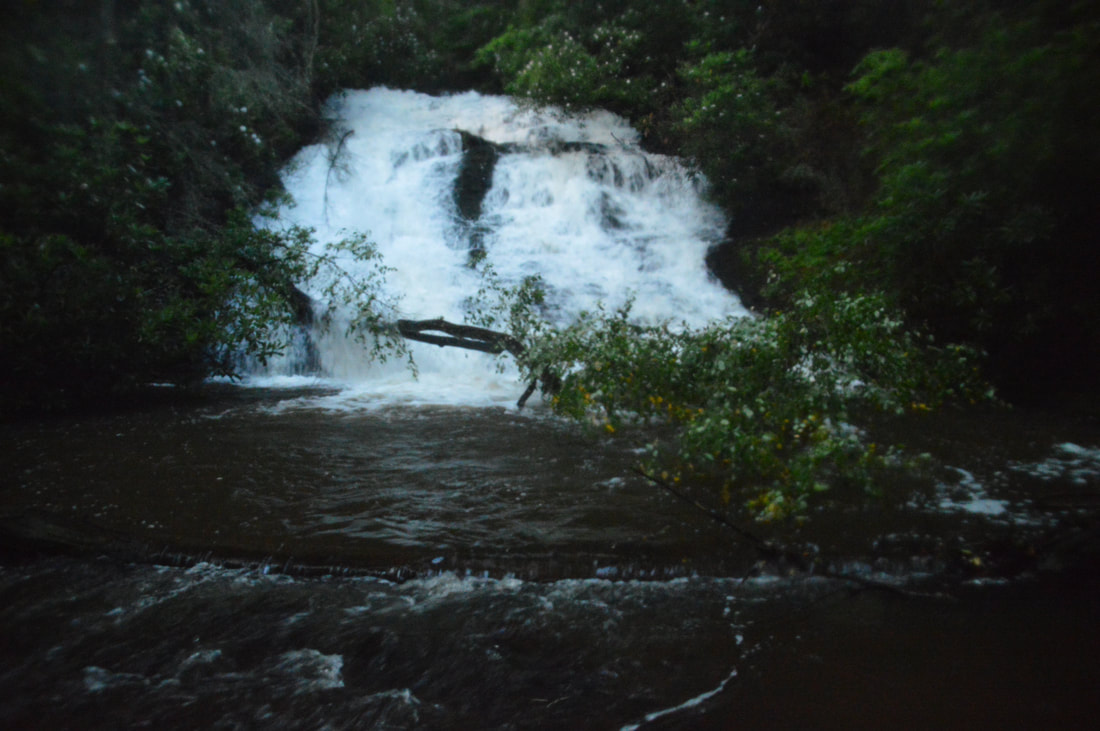
Begin the hike by walking around the gate at the old road off Cooper Gap Road. A distinct path follows the broad old road as it slowly ascends through a dry forest well above Wildhog Creek. There are no problems with hiking along the road as it curves in and out of several hollows while it bends around Cynthia Knob. At 1.1 miles, the broad road ends in an overgrown turnaround. A few feet before the turnaround, a distinct path leaves to the right. Take this path as it crosses the ridge through a gap and begins to follow another old road that is almost as wide. At 1.25 miles, bear left on the main forest road as a very steep path leaves right and ascends to private property. A moderate descent into the Canada Creek valley commences. Stay left again at 1.6 miles as another steep path to private property exits to the right. The main trail then descends into a large hollow. At 1.75 miles, the trail crosses a small stream. After rainfall, this can be a very muddy spot. Just past the stream are several sawed logs. As the trail becomes less distinct and seems to make a 180-degree turn back up the hollow, watch out for a narrow path turning off to the right. Turn onto this path, which continues in the general same direction that you were hiking in down the hollow. The path dissipates in places, but it should be easy to hike at about the same level through open woods. Canada Creek soon comes into view below, and a few dozen feet farther, you may be able to see Yukon Falls itself through the trees. At 1.85 miles, there is a fairly obvious point of descent to the right toward the base of the falls, as you can tell that other people have walked here. In about 200 feet, you will come out onto a more distinct path running left and right parallel to Canada Creek. While the loop will continue to the left, for now turn right on the path toward Yukon Falls. You will reach the base of Yukon Falls on Canada Creek in less than 100 feet at 1.9 miles. Previously known as Falls #4 on Canada Creek, Yukon Falls is a powerful 40-foot waterfall. The waterfall can be categorized as a sliding waterfall with an increasingly steeper slant, but it is notable how all of the water is squeezed into a tight passage at the top. The water then fans out more before crashing into a pool. Yukon Falls is the uppermost notable waterfall on Canada Creek. Above Yukon Falls, there are several smaller cascades, one of which is 20 feet high but on private property. After that, the creek passes through Woody Lake and then becomes very small at its headwaters area. On this day, I arrived at Yukon Falls less than two hours after a 30-minute heavy thunderstorm. Canada Creek didn't seem to be far from flood stage, and an incredible torrent of water was coming over the falls. Under these conditions, Yukon Falls was one of the most powerful waterfalls I've ever seen, but of course, it will be a lot less impressive in the normal conditions that you will probably see it in. From Yukon Falls, begin returning along the path parallel to the creek and continue following it downstream past the point where you descended at. At 2.0 mile, the path reaches a junction with a much more distinct trail. The trail appears to come down steeply from the left and continues straight along an old roadbed above Canada Creek. I do not know where the trail goes to the left, but for the hike to Alberta Falls, continue straight and downstream along the creek. 
The hike to Yukon Falls on Canada Creek follows unofficial but well-established trails along old forest roads.
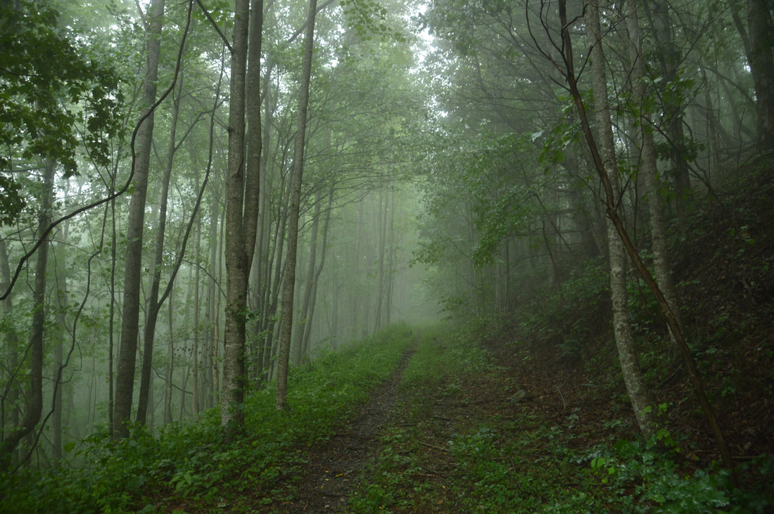
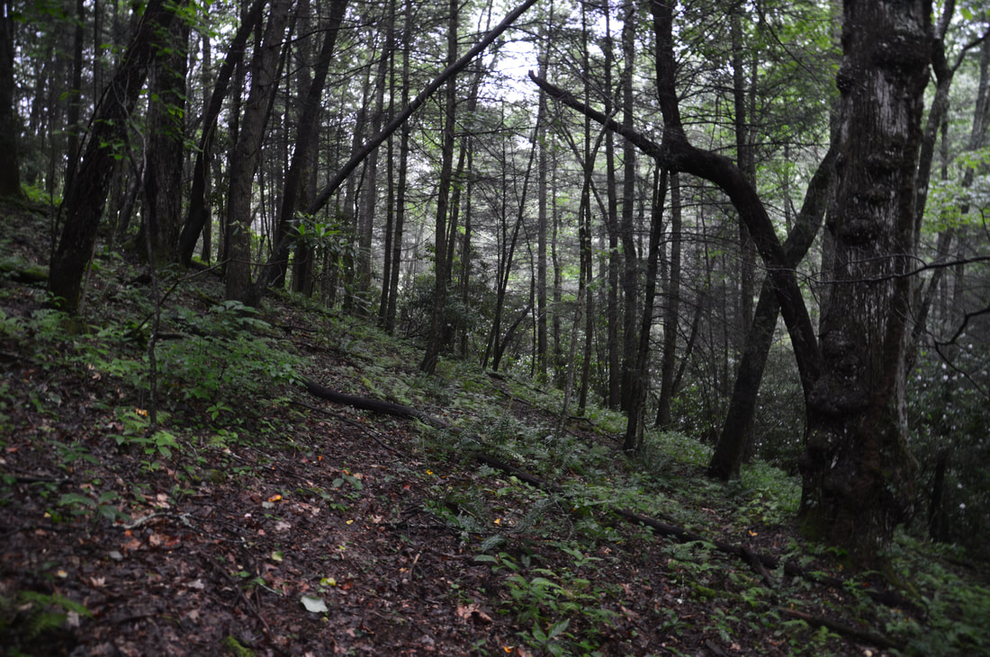
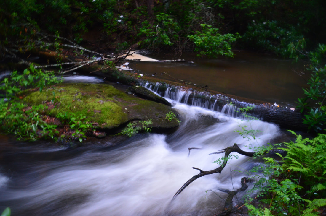
Eventually, the broad trail reaches creek-level and fords Canada Creek at 2.2 miles. Even though the water had gone down some by now, this was still a surprisingly easy ford. It was above the waist today but I imagine that the normal level is around the knee. The footing is very good and the current will normally be slow though. On the other side of the creek, the trail turns right, briefly climbs up a steep hill, and then turns left onto another well-defined old forest road (at the same point, an overgrown path leaves right and upstream as well). Continue following the trail along the forest road as it steadily rises above Canada Creek. There will be a period of time that the creek will be so far down below the trail that you will not even be able to hear it. During that time, the trail will be about 100-150 feet above the creek. At 2.95 miles, the trail passes through a shallow gap in a ridge coming down from Little Cedar Mountain and briefly turns away from Canada Creek completely. Then, at 3.1 miles, there is a junction with another trail along an old forest road turning very acutely left. Make this turn to head back down toward Canada Creek, leaving the previous road which likely eventually connects to West Canada Creek Road and possibly private property off Highway 60.
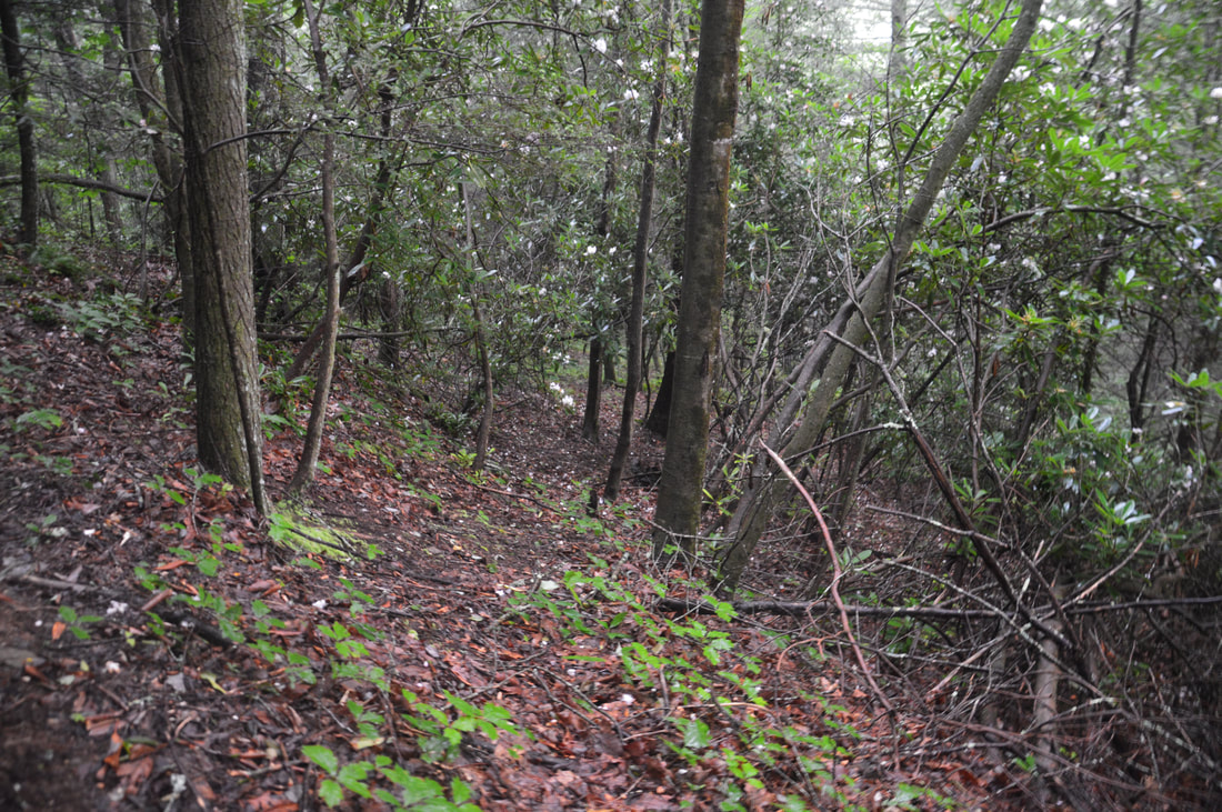
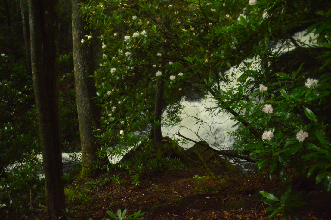
The trail you're now following comes alongside Canada Creek at 3.4 miles - remember this point, as on your way back from Alberta Falls, you will have to jump off the trail here. About a hundred feet farther, you will make the second ford of Canada Creek. There are two spots for fording the creek here. The second one is better because it is just above the confluence with Wildhog Creek. Do not follow the old logging road that follows the west side of Wildhog Creek. This logging road leads to private property. After the ford, hike east and upstream along the creek through open bottomlands on a faint path. At about 3.5 miles, a path comes in from the right and continues straight. To the right, the path leads to some picturesque shoals on Wildhog Creek. Passing a campsite with a tiny "homemade" table in a flat to the left near the creek, follow the path straight and upstream along Canada Creek. The gorge narrows and the obvious path, which stays very close to the creek, passes several rushing cascades. At 3.6 miles, the path reaches and ends at Alberta Falls on Canada Creek. Previously known as Falls #3 on Canada Creek, Alberta Falls is a very photogenic waterfall about 40 feet high. This single-tier block waterfall cascades down a wide stairstep rock face into a deep pool. The creek then flows over some shoals that add character to the gorgeous scene, before it disappears out of sight. The path ends just before the waterfall. To get the best view, scramble down to a low area where deep water collects when the creek is high (on this day, the water was knee-deep). Walk through the low area and to the creek itself. The best view is from here. It is possible to wade closer up to the falls as well. 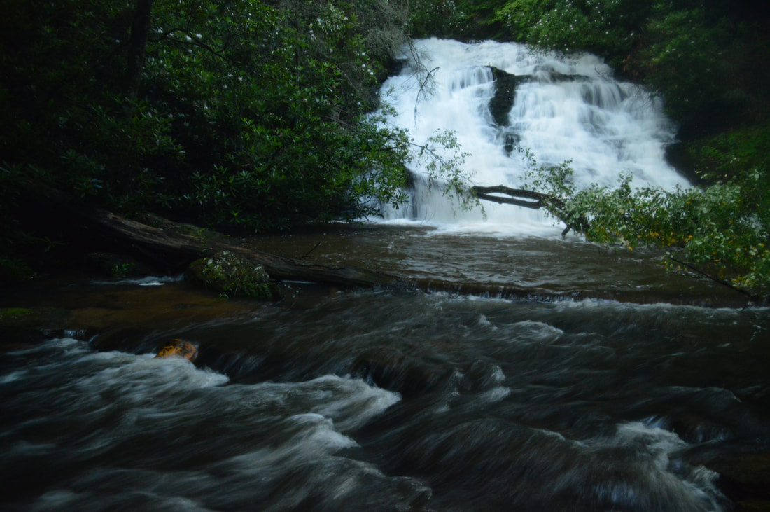
Alberta Falls on Canada Creek is a very picturesque block-type waterfall.
From Alberta Falls, return along the trail you just followed, crossing Canada Creek at the same point again. Shortly after the crossing, right around where the main trail bears right and leaves Canada Creek, bear left and hike off-trail downstream along Canada Creek. There is little to no path visible initially, but eventually, there will be a trace of a path right along the creek (don't worry if you don't see it). At 3.9 miles, the easy walking along the side of the creek seems to end. This is the place where you have to ford Canada Creek for the third and final time. The fording point is very inconspicuous, because both banks of the creek are steep. At the time of this hike, there was a fallen tree on the other side of the creek - extending out into the creek a little bit - just before the fording point. The current is a bit swifter at this ford than the other two, but it is still a fairly easy knee-deep ford. On the other side of the creek, turn right and pick up a more distinct path downstream along Canada Creek. The trail passes through a rhododendron thicket with a deep pool in the creek to the right and then makes a brief ascent up a hill before dropping back down to creek-level. At 4.15 miles, the trail ends at a turnaround situated at the end of a forest road. Continue onto the forest road and begin following it as it slowly rises above the creek and curves in and out of several hollows. The forest road ends at 4.5 miles at East Canada Creek Road at a point where there is a very broad area used for turning around and parking. This is the parking area where one would park their car to hike to Alberta Falls using the shortest route. The parking area for the lower waterfalls on Canada Creek is only a couple hundred feet down East Canada Creek Road.
To close the loop - unless you have a second car at this parking - turn left onto East Canada Creek Road and follow it southward along Sally Spillers Branch, eventually ascending out of the valley. You will reach paved Cooper Gap Road at 6.55 miles. There, turn left onto Cooper Gap Road northward and follow it for the final leg of the hike, returning to the trailhead and your car at 7.3 miles, concluding the hike. Mileage
0.0 - Cooper Gap Road Trailhead for Upper Canada Creek
1.1 - Turnaround, Turn Right 1.9 - Yukon Falls on Canada Creek 2.2 - Canada Creek Ford #1 3.1 - Acute Left Turn 3.4 - Canada Creek Ford #2 3.5 - Campsite With Table 3.6 - Alberta Falls on Canada Creek 3.8 - Canada Creek Ford #2 (on the return) 3.9 - Canada Creek Ford #3 4.15 - Begin Forest Road 4.5 - East Canada Creek Road 6.55 - Cooper Gap Road 7.3 - Cooper Gap Road Trailhead for Upper Canada Creek Variations
Hike out and back to Yukon Falls from Cooper Gap Road - 3.8 Miles
Hike out and back to Alberta Falls from East Canada Creek Road - 1.8 Miles Hike out and back to Yukon Falls and Alberta Falls from East Canada Creek Road - 5.0 Miles Add on a hike to Canada Creek Falls and Ontario Falls to this loop hike - 9.6 Miles Bonus Stops
Consider hiking to Big Cedar Mountain and Preachers Rock off the Appalachian Trail on the same day as when you visit some of the Canada Creek waterfalls. The trailhead for Preachers Rock is Woody Gap on Highway 60.
PicturesVideos
0 Comments
Leave a Reply. |
About MeMark Oleg Ozboyd Dear readers: I have invested a tremendous amount of time and effort in this website and the Georgia Waterfalls Database the past five years. All of the work that has gone in keeping these websites updated with my latest trip reports has almost been like a full-time job. This has not allowed me to pick up a paid job to save up money for college, and therefore, I I've had to take out loans. If you find the information on this website interesting, helpful, or time-saving, you can say "thanks" and help me out by clicking the button above and making a contribution. I will be very grateful for any amount of support you give, as all of it will apply toward my college tuition. Thank you!

Coming in 2022-2023?
Other Hiking WebsitesMiles HikedYear 1: 540.0 Miles
Year 2: 552.3 Miles Year 3: 518.4 Miles Year 4: 482.4 Miles Year 5: 259.9 Miles Archives
March 2021
Categories
All
|


 RSS Feed