Three thousand feet of elevation gain on a hike in the mountains is fairly common; three thousand feet of elevation gain on a hike in Florida is unheard of. Florida is well-known for its flat terrain, but exceptions do exist. Located on the east side of the Apalachicola River in the middle of nowhere, Torreya State Park - one of Florida's most interesting natural areas - features dozens of steephead ravines, limestone bluffs, sharp hills, and even a waterfall. In fact, it is safe to say that the park's hiking trails are the most rugged in Florida. Torreya State Park also boasts a collection of rare plants and animals, including the extremely rare Florida torreya tree, that are not typically found this far south. You'll get quite a workout on this hike, ascending dozens of hills and visiting many scenic mini-canyons carved out by small streams that feed the Apalachicola River. Also, you'll view the Apalachicola River from blufftop overlooks in several places. This hike occurred on Sunday, April 16th, 2017. My plan was to hike the Torreya Loop Trail counter-clockwise starting via the Gregory House east access trail. Along the way, I would make side trips to Weeping Ridge Falls and to Rock Bluff Overlook, and additionally, I would hike the Rock Creek Loop counter-clockwise.
Summary
R/T Length of Trail: 15.5 Miles
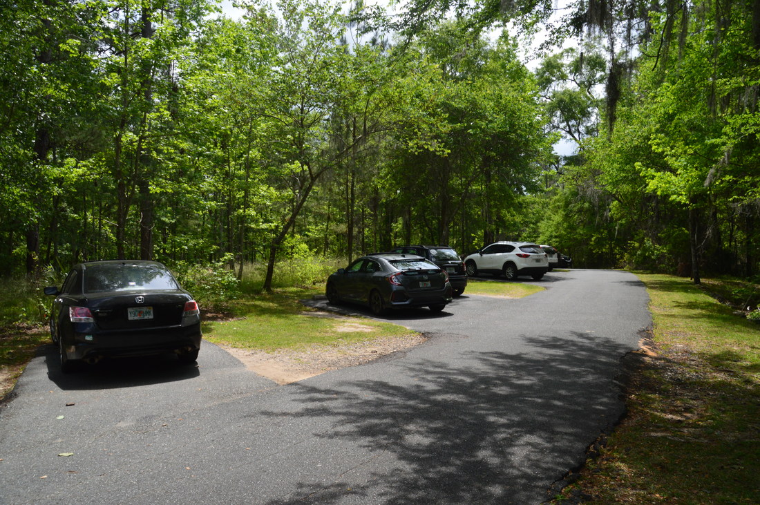
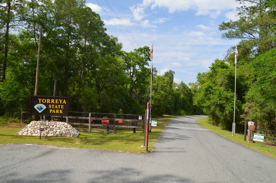
Duration of Hike: 9:20 Type of Hike: Double Loop Difficulty Rating: 10 out of 10 (Florida Standards) Total Elevation Gain: 2831 Feet (You read that right; even though the highest elevation is only 274 feet, there are dozens of hills on the hike) Pros: Unusual scenery; elevational variation that is uncommon in Florida Cons: None Points of Interest: Gregory House; Apalachicola River Overlook behind Gregory House; multiple views of the Apalachicola River; Weeping Ridge Falls; Rock Bluff Overlook; several limestone bluffs on the trail; scenic cascade on Rock Creek tributary; miniature slot canyon on Rock Creek tributary; limestone canyon on Rock Creek Trail Blaze Colors: Gregory House Access Trail - Blue; Torreya Loop - Orange; Weeping Ridge Trail - Blue; Rock Bluff Spur Trail - Blue; Rock Creek Connector - Blue; Rock Creek Loop - Orange; Campsite Side Trails - Blue Best Seasons to Hike: Winter Fees: There is an entry fee of $3 per car to Torreya State Park. Beginning Point: Gregory House Trailhead Directions from Bristol, FL: From the intersection of FL Route 12 and FL Route 20 in downtown Bristol, follow FL 12 North for 6.5 miles. Then, turn left onto County Road 271. In another 3.4 miles, bear left to continue on County Road 271 (while County Road 270 continues ahead). Follow County Road 271 for another 4.5 miles to its end at the Gregory House parking area. You will have entered Torreya State Park 3.2 miles from the County Road 270 junction. Map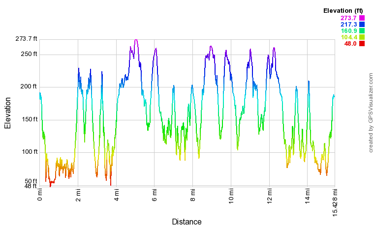
Click here to download a track of this hike.
Details
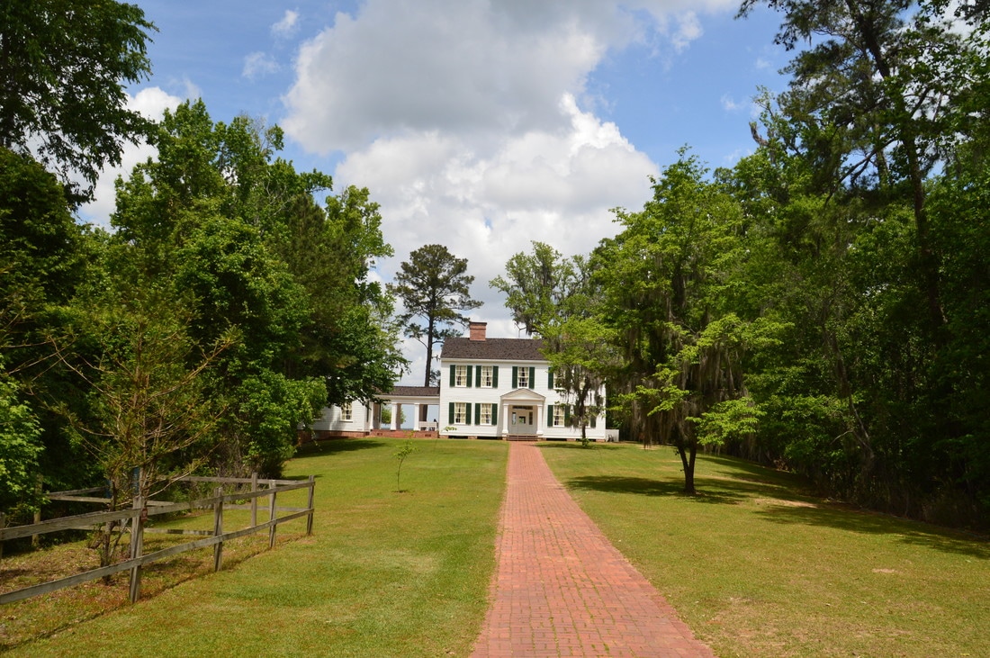
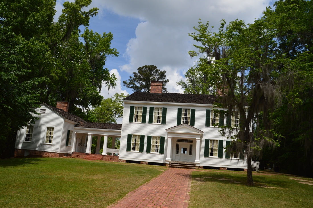
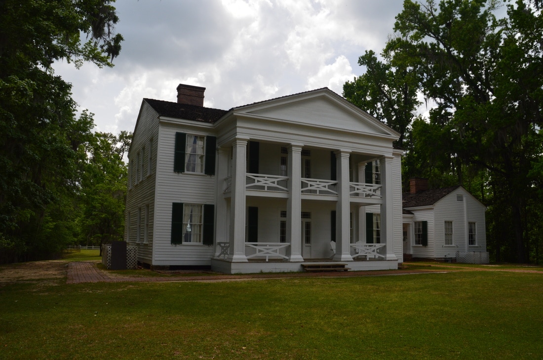
The hiking trails at Torreya State Park are among the most difficult in Florida, but hikers are well-rewarded by all kinds of unique features, including limestone bluffs, overlooks, miniature canyons, and even a waterfall. The most common starting point is at the Gregory House Trailhead. The Gregory House is a historic mansion that was built in 1849 by a planter named Jason Gregory. Originally, it was located across the Apalachicola River at Ocheesee Landing, but it was moved to the bluffs on the east side of the river and restored in the 1930s.
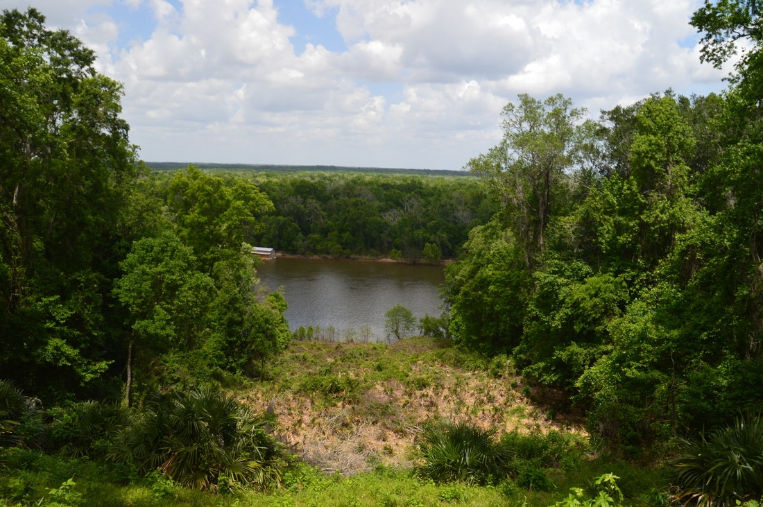
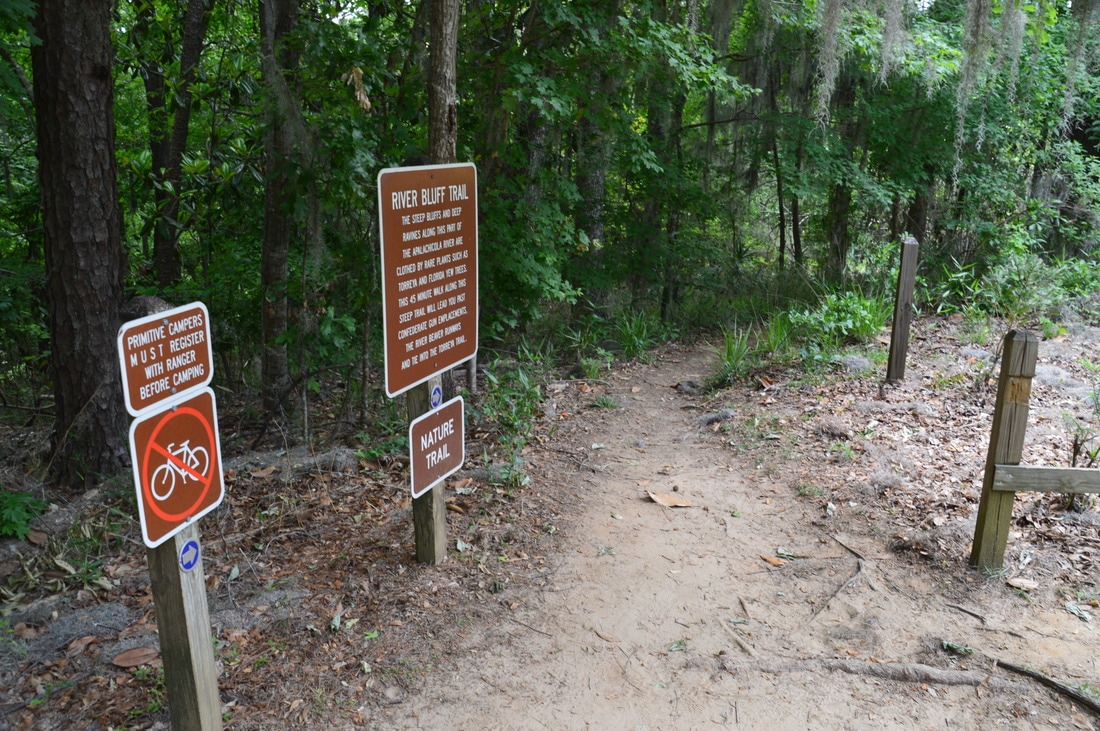
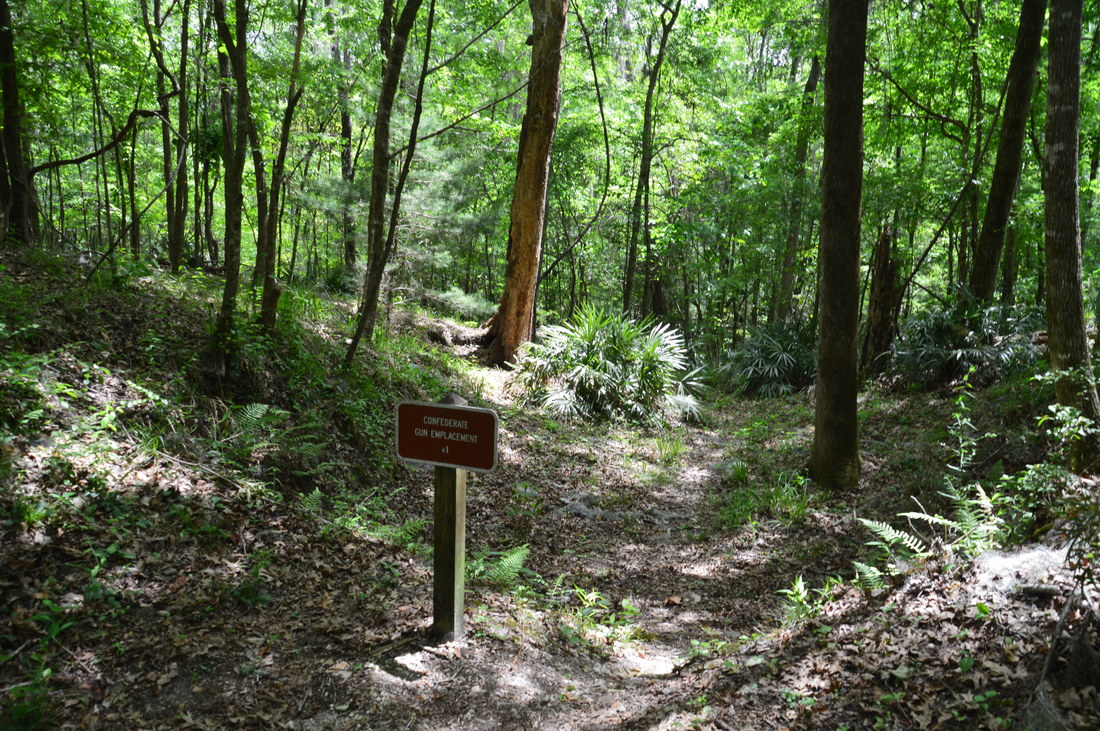
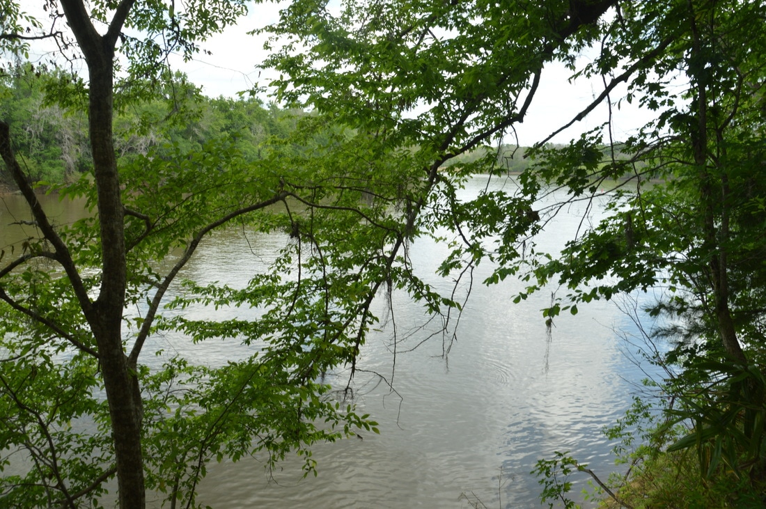
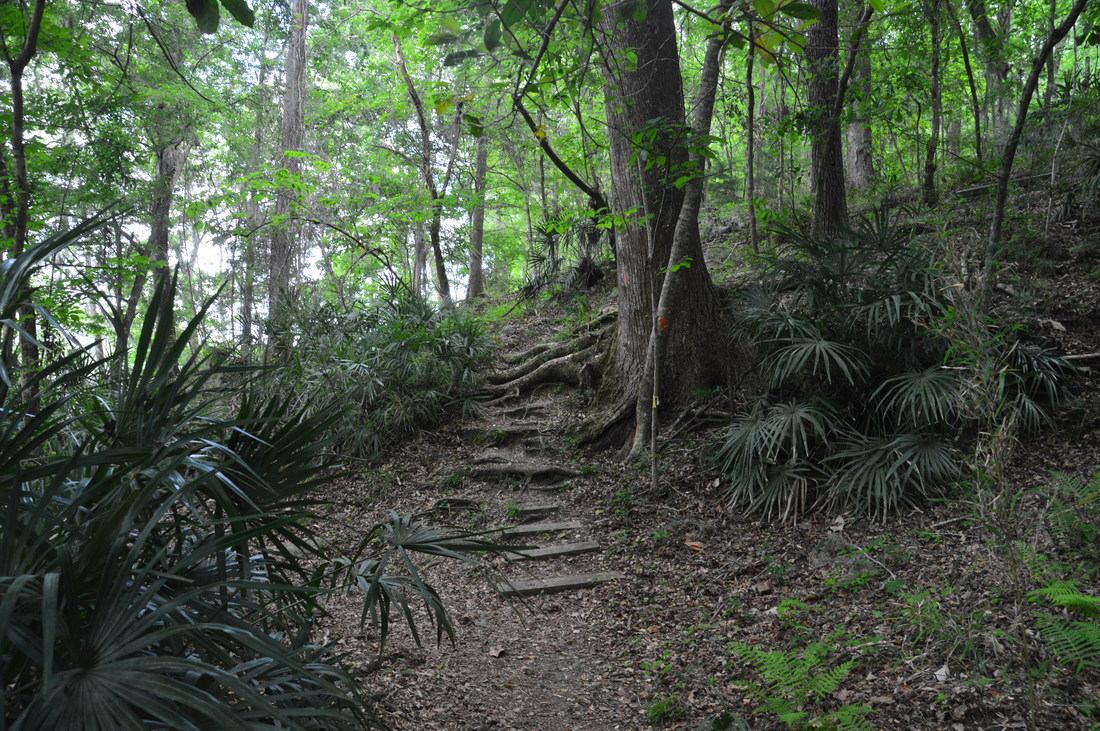
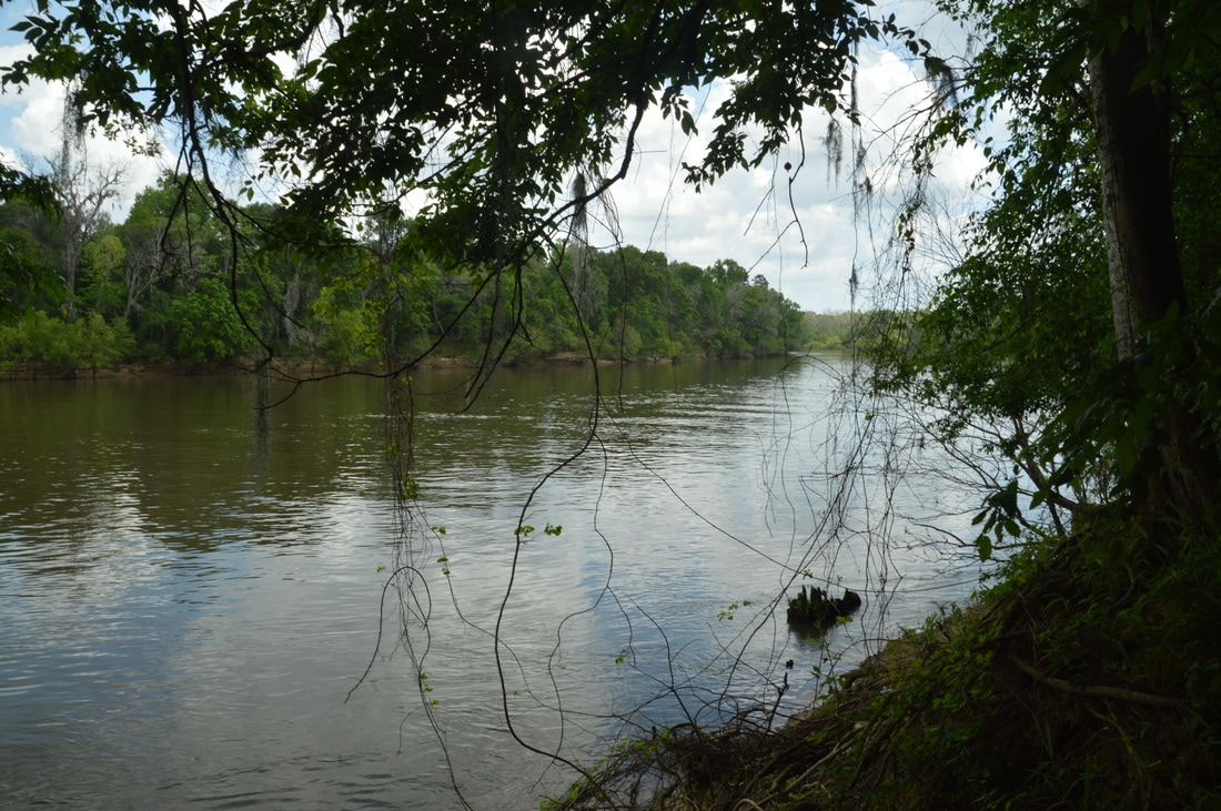
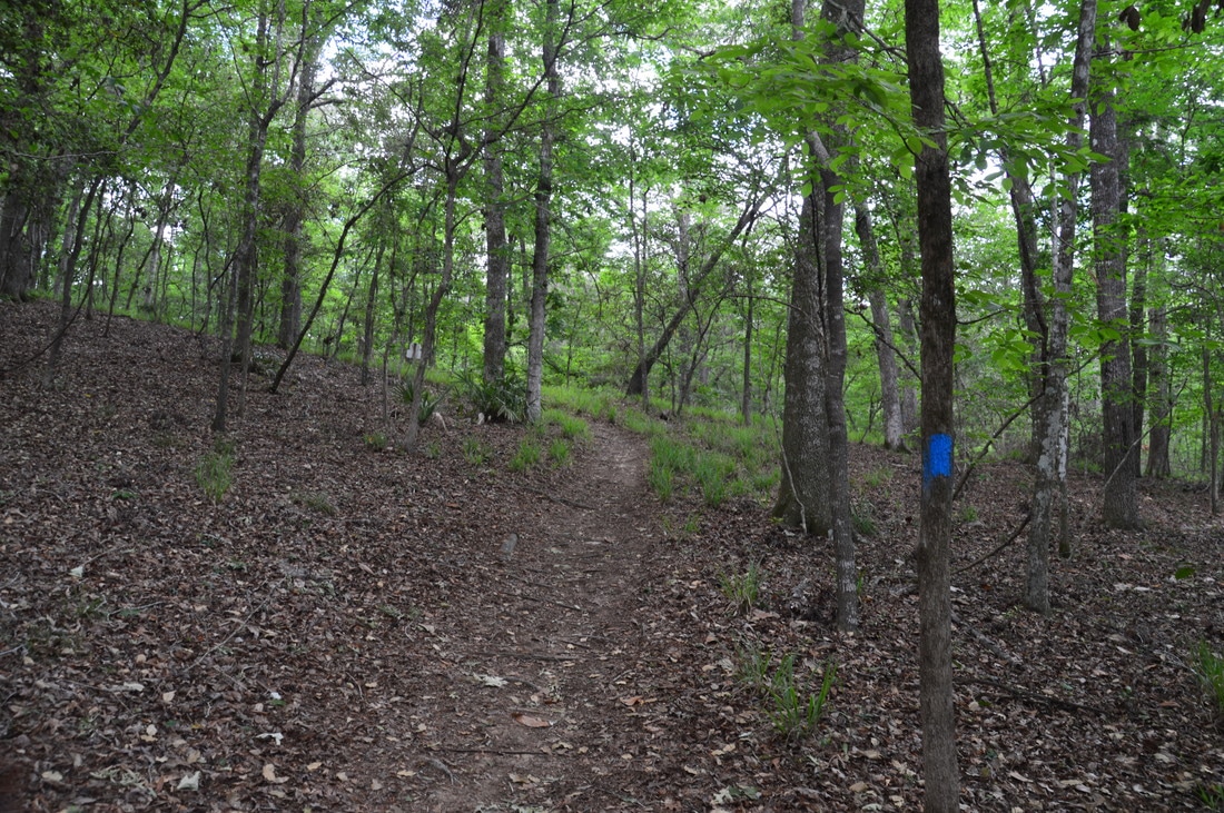
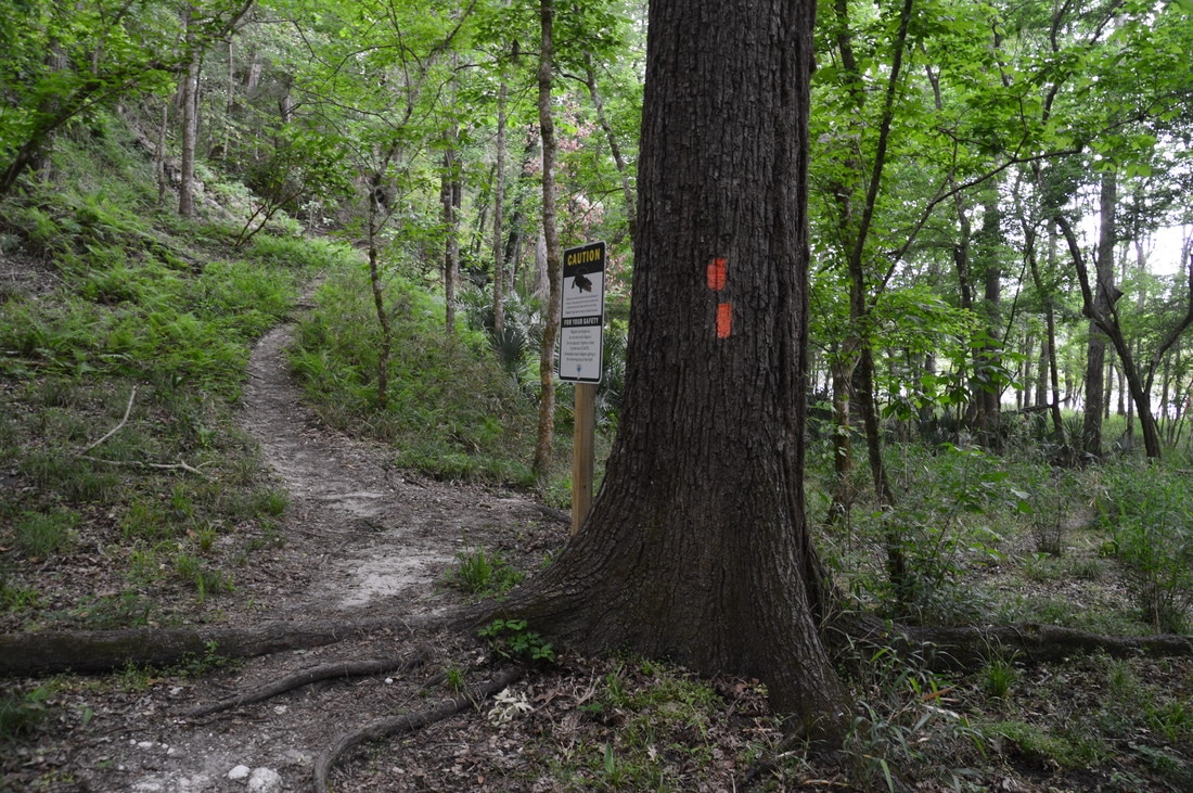
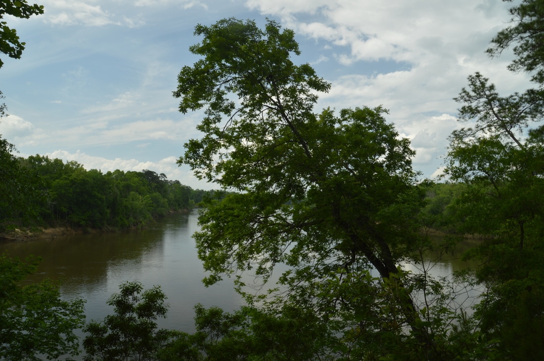
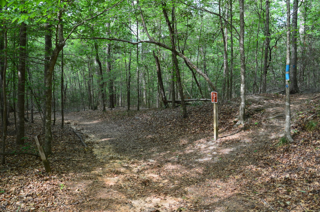
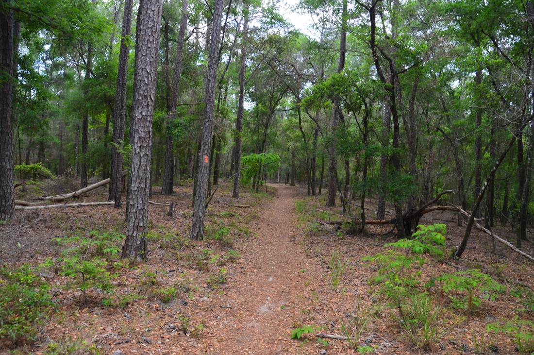
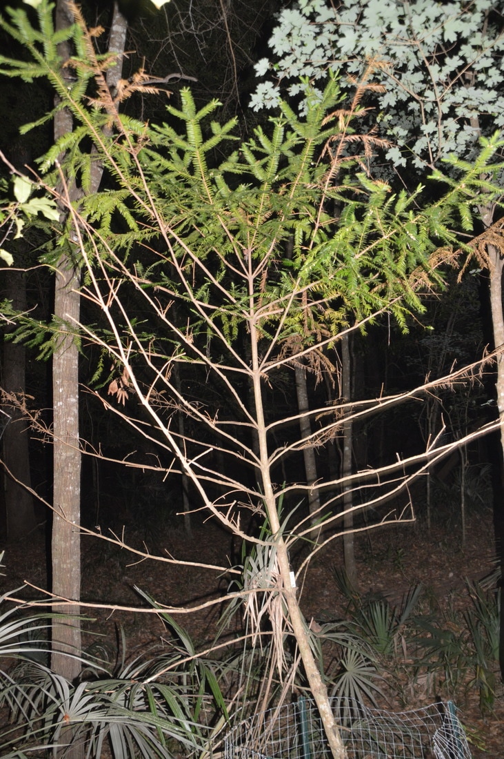
Begin the hike by walking from the parking area down the brick path to the Gregory House. There is an interpretive sign to the left about the Torreya Tree, one of the rarest coniferous trees in the world. While several isolated species of the torreya can be found in California, Japan, and China, the Florida torreya is only found among the bluffs and ravines on the east side of the Apalachicola River, including Torreya State Park. One of the torreyas actually grows right along the path to the house! The brick path ends at the back side of the impressive mansion. Walk around the house to the Apalachicola River overlook, where there is a pair of benches. Even though this view was created artificially when the area in front of the house was cleared of trees, it is still a very nice hilltop view of the large river down below and the flatlands stretching on to the horizon. The difference between the flat west side and hilly east side of the Apalachicola is remarkable. There are two access trails that begin at Gregory House. The one that begins on the right (east) side of Gregory House is the one I chose due to the interesting Confederate gun emplacements on it. This access trail begins next to a kiosk and a set of informational signs. There is a warning about the steepness of the trail, and this is the first indication that this hike will not be your typical Florida hike. The blue-blazed access trail begins with several switchbacks into a hardwood forest. Shortly thereafter, after beginning to descend along the nose of a ridge toward the Apalachicola River, the trail reaches the first of six signed Confederate gun emplacements. For the Confederates, the bluffs along the east side of the Apalachicola River were strategic locations that they used to protect the river from the Union. After passing the other gun emplacements, the access trail ends at the Torreya Loop at 0.35 miles. Before turning onto the trail though, continue ahead on a narrow path for 150 feet to a semi-open view of the Apalachicola River just above river level. 
Relocated to Torreya State Park from Ocheesee Landing on the Apalachicola River, the Gregory House is an impressive mansion that was built by a Calhoun County planter in the mid-19th century.
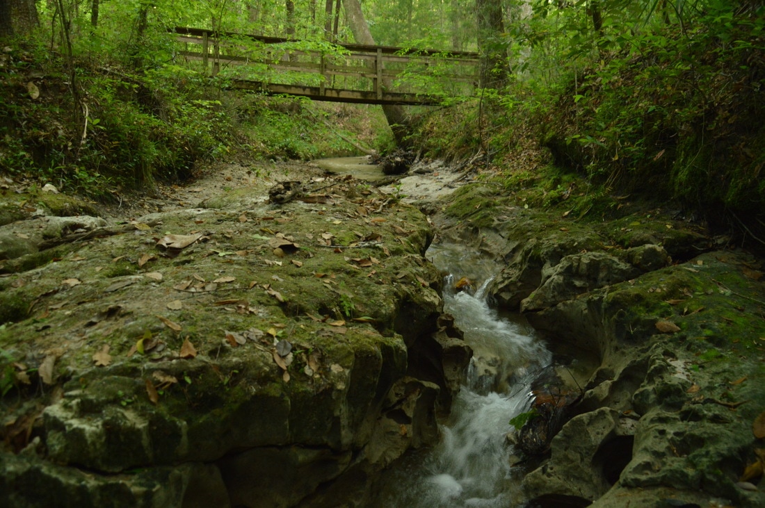
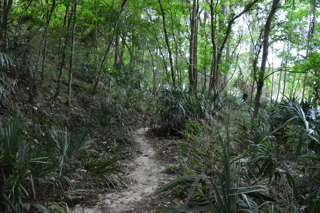
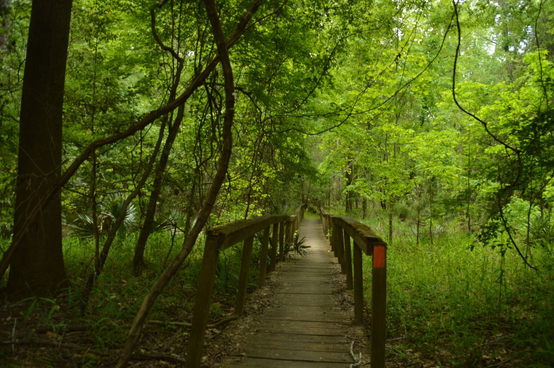
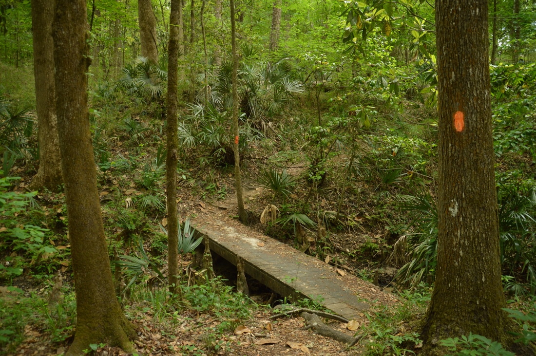
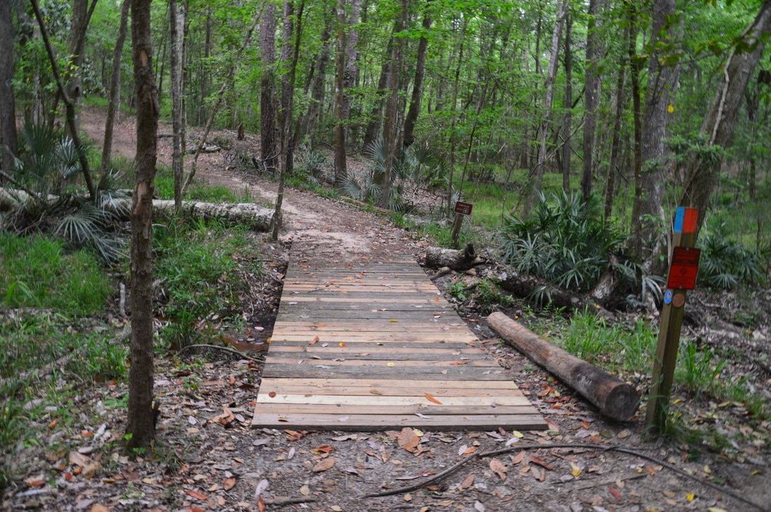
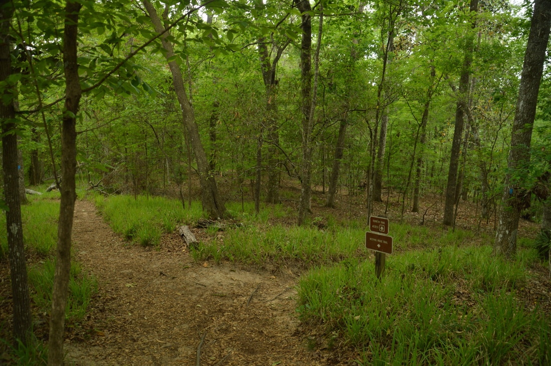
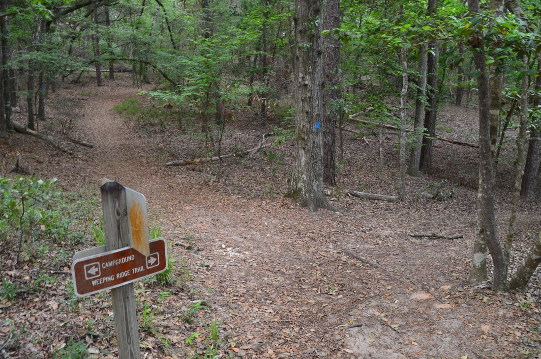
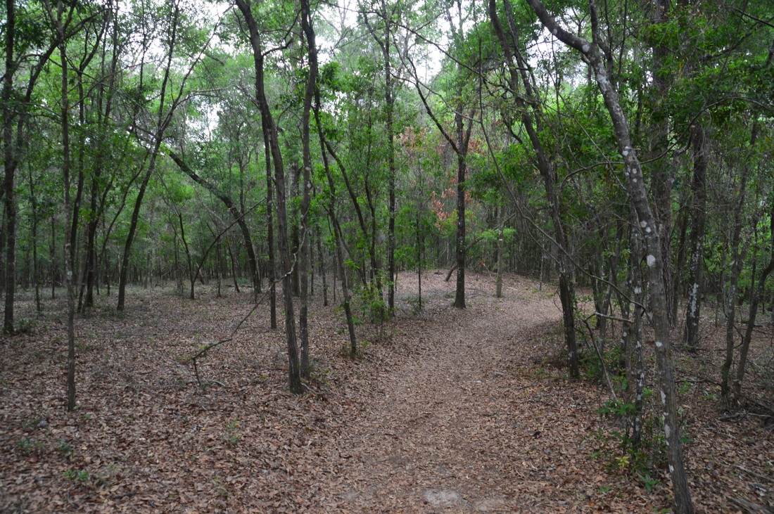
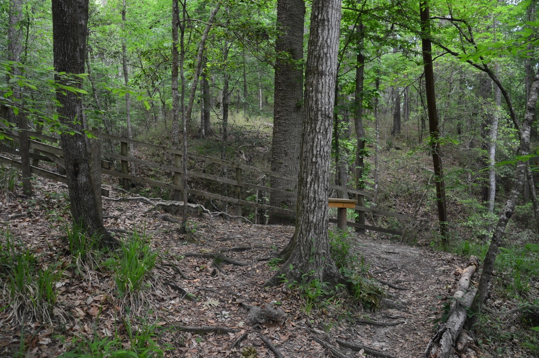
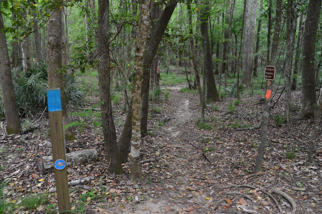
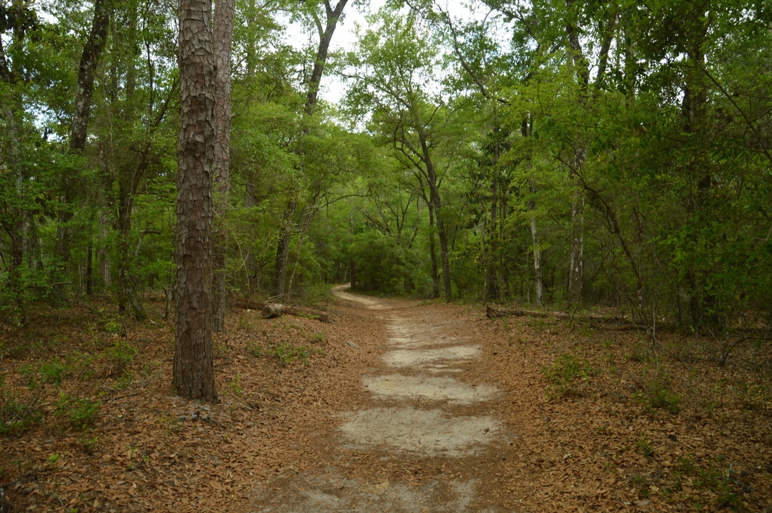
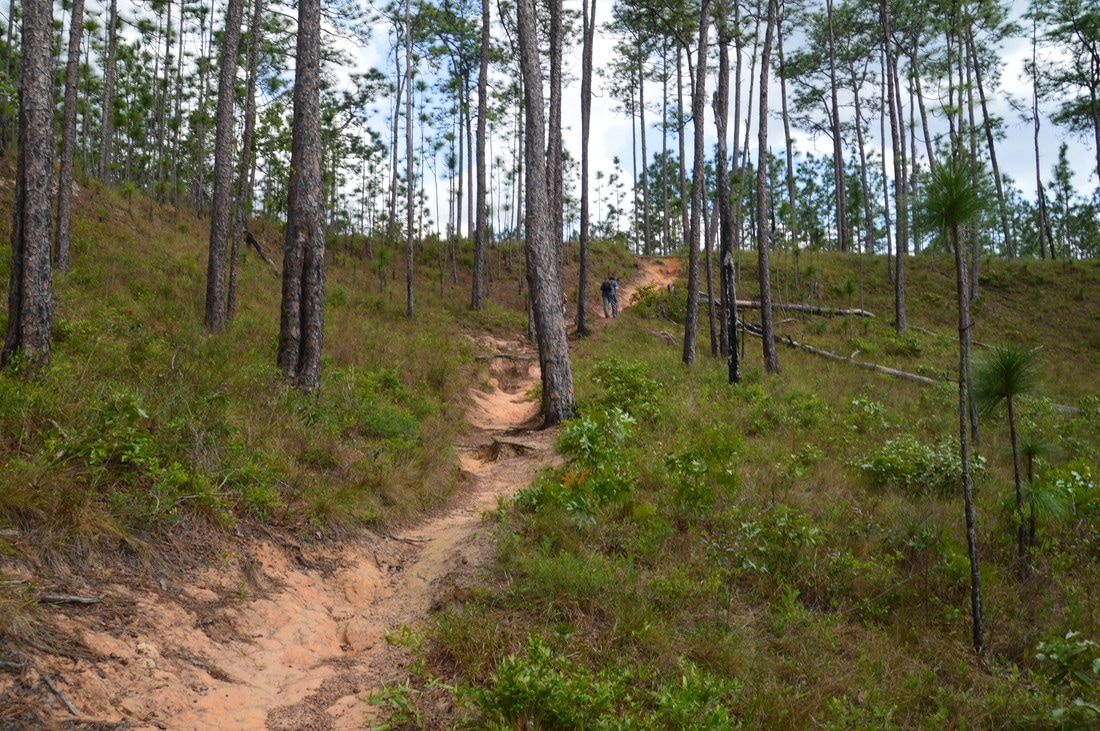
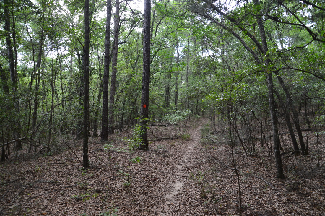
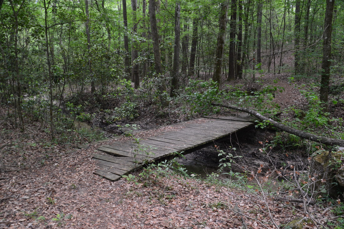
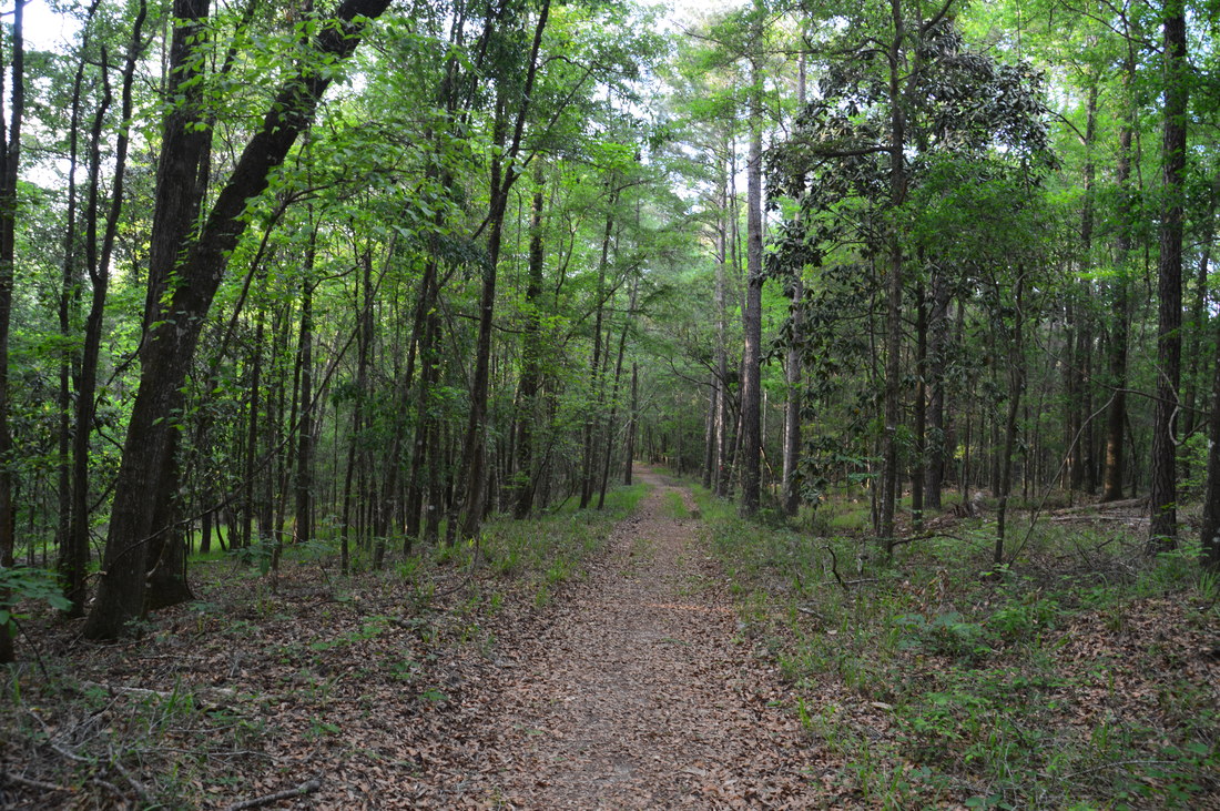
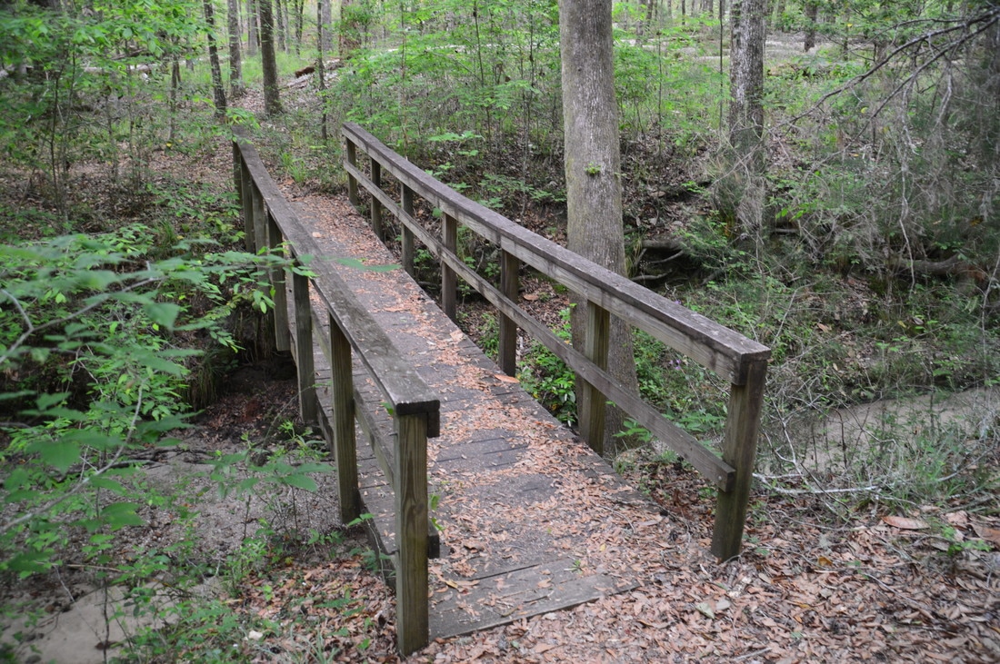
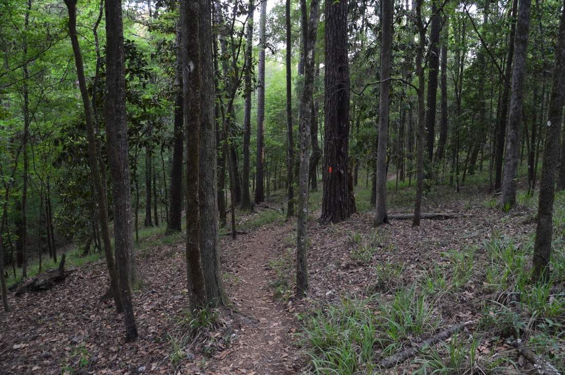
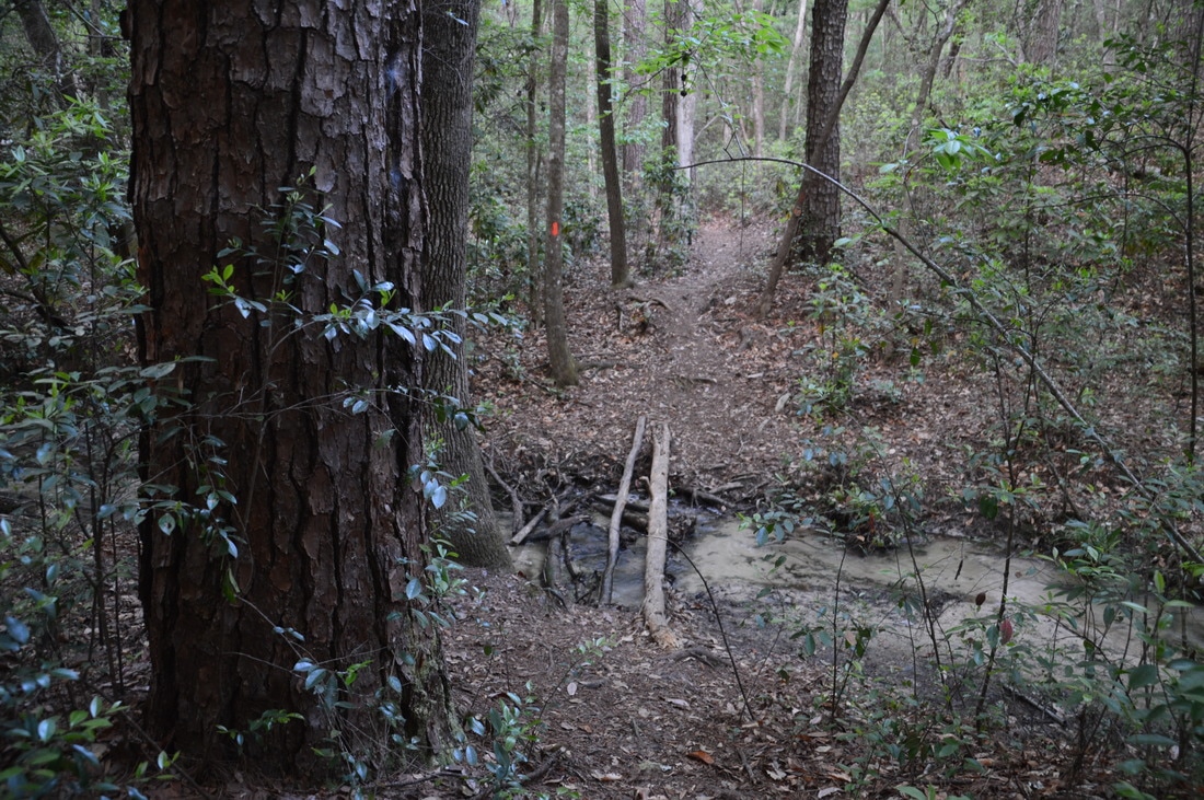
Begin hiking west along the orange-blazed Torreya Loop Trail (in the counter-clockwise direction, which would be a left turn coming from the Gregory House access trail and a right turn coming back from the extension path to the river. The trail is fairly rugged in this area, as it is forced into a passage between the river and the steep drop-off at Gregory House just to the south. At one point, the trail drops into a ravine using a long series of wooden steps. The picturesque palmetto-flanked trail reaches the clearing below Gregory House at 0.6 miles. There are great river views here, and it is interesting to see the house standing 100 feet higher. Following the clearing, the trail leaves the river, traverses a seasonal wetland via boardwalks, and rises to the rim of the Apalachicola River floodplain after passing at 0.8 miles the west access trail from Gregory House. A nice, short loop can be hiked using both access trails. At 0.95 miles, a blue-blazed trail leaves left to the picnic area, and at 1.05 miles, the Torreya Loop crosses a scenic stream. Then, there are several good views of the rim swamp in the floodplain down below. After several more ravines, the rollercoaster temporarily ends as the trail levels out, and you will reach a junction with the Weeping Ridge Trail at 1.8 miles. The Torreya Trail turns right and turns narrower while the broad Weeping Ridge Trail continues straight across a footbridge. The Weeping Ridge Trail serves the double purpose of providing access to the park's campground as well as to a unique 15-foot waterfall. I highly recommend doing the side trip to see the waterfall.
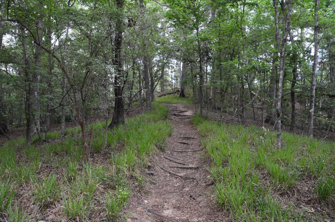
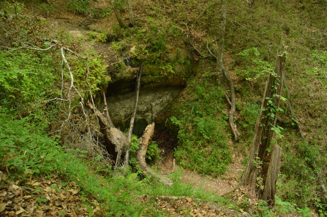
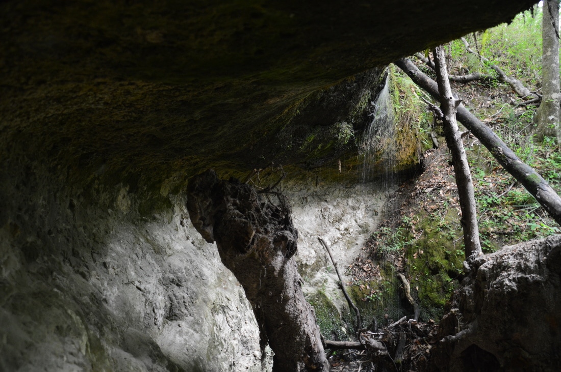
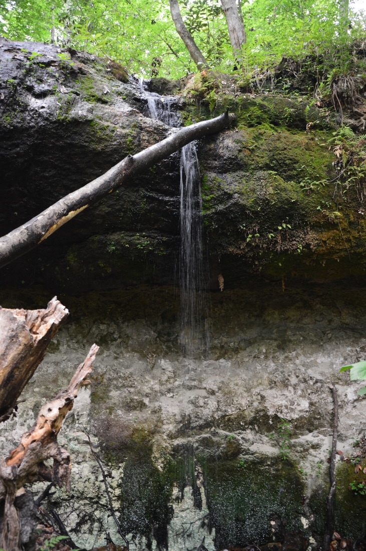
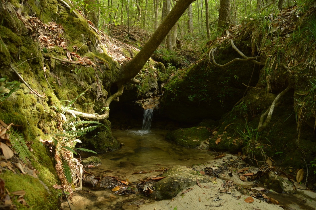
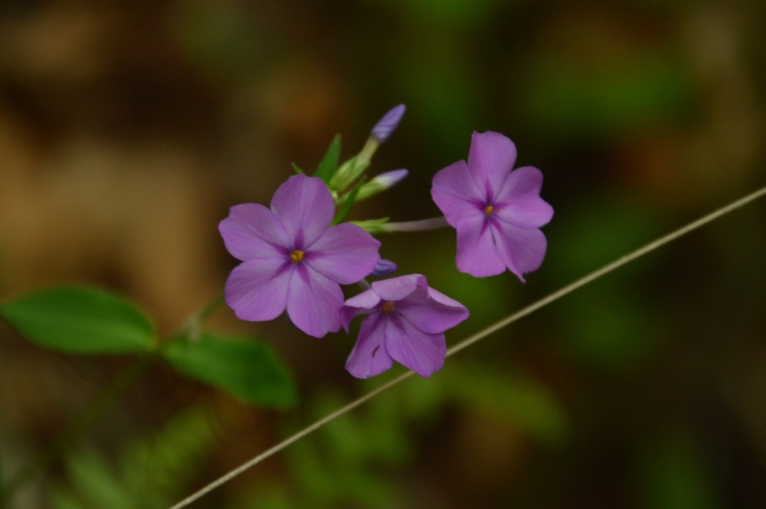
The blue-blazed Weeping Ridge Trail begins an easy ascent to Weeping Ridge, which is one of the highest parts of the park. At 2.1 miles, reach a junction near the top of the ridge with the campground access trail that leaves left. Bear right to continue on the Torreya Trail. A couple hundred feet farther is another intersection. The trail to the Weeping Ridge Trailhead continues straight, while the trail to Weeping Ridge Falls turns right. Since the waterfall is the objective of this side trip, turn right onto the trail, which gently descends along an arm of the ridge, ending at an observation area in front of the waterfall at 2.4 miles. For a better view, scramble down the path to the right that leads to the waterfall's base. Even though Weeping Ridge Falls typically isn't much more than a trickle, it is a fascinating place. The 15-foot waterfall drops over a limestone overhang, and there is a miniature grotto behind the falls, reminiscent of larger waterfalls on the Cumberland Plateau in Tennessee. Lush vegetation around the falls helps to create a tropical setting. 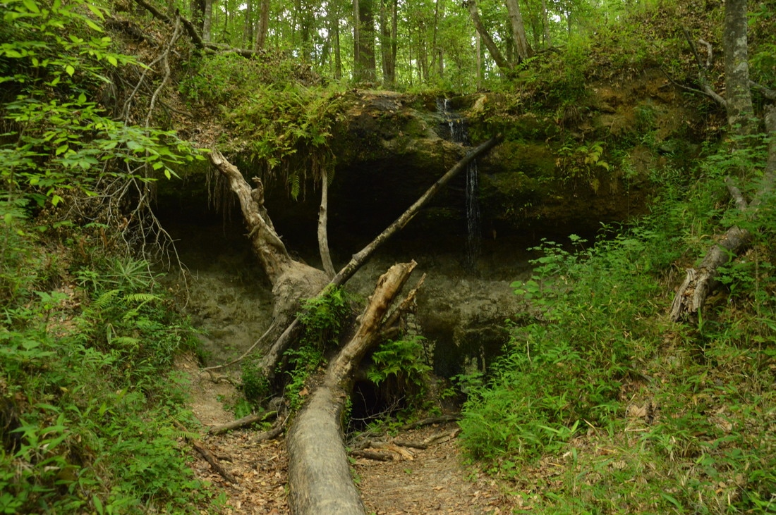
One of Florida's few noteworthy waterfalls, Weeping Ridge Falls is a 15-foot drop with an interesting limestone grotto.
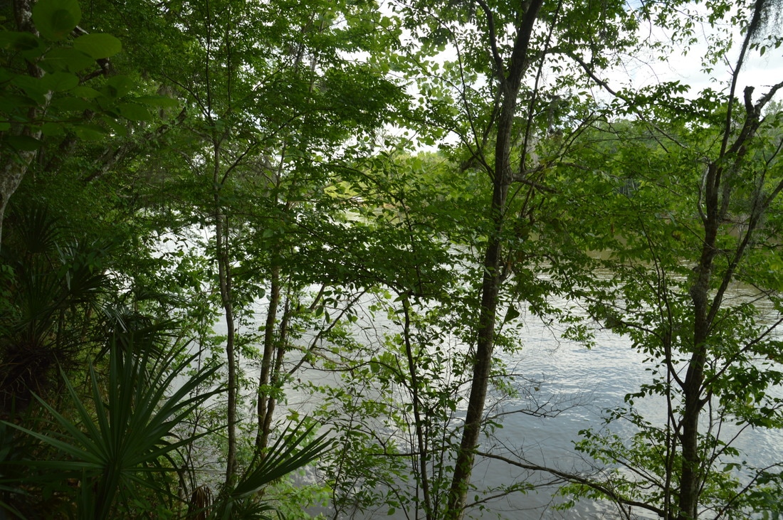
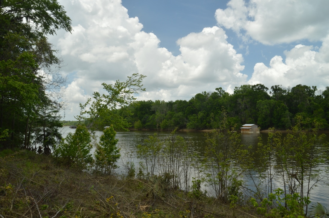
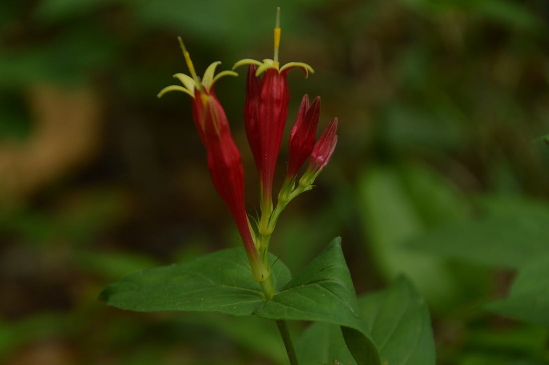
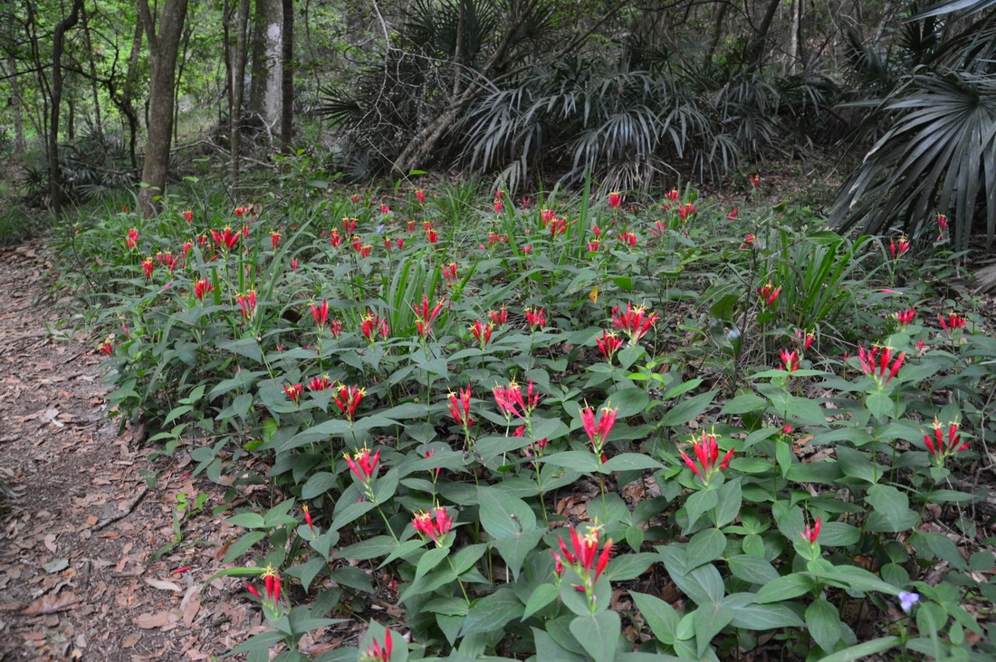
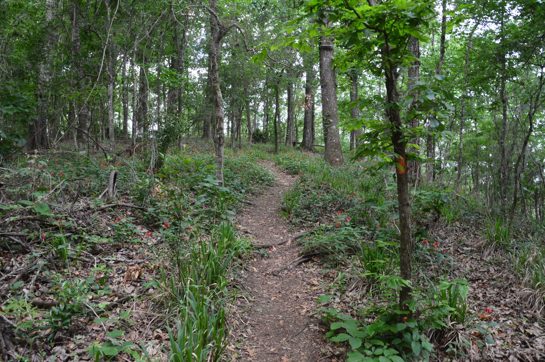
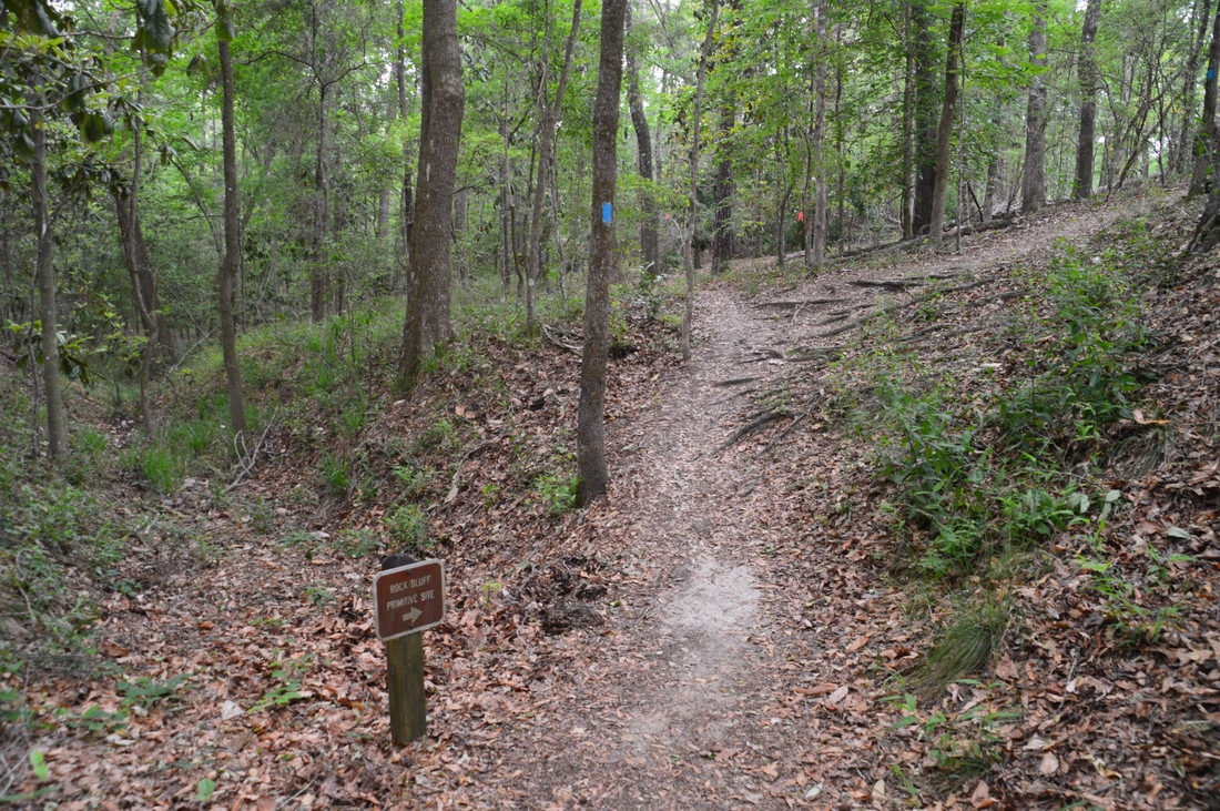
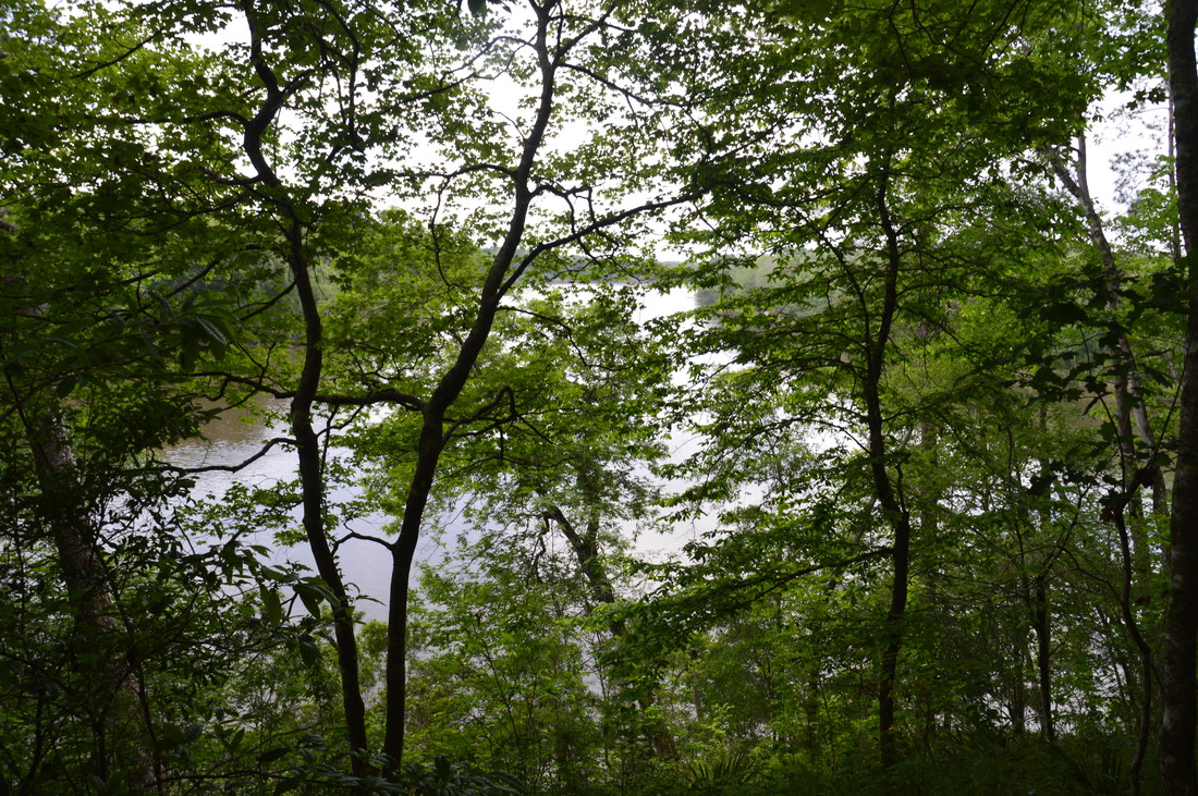
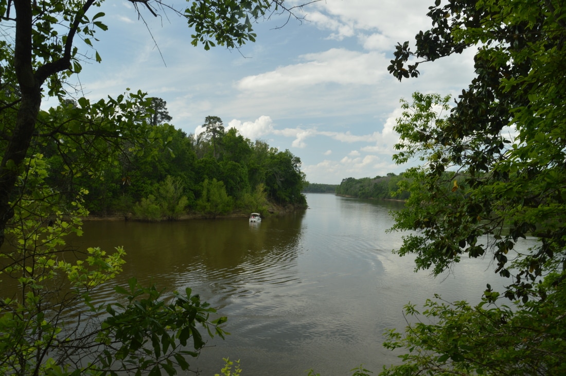
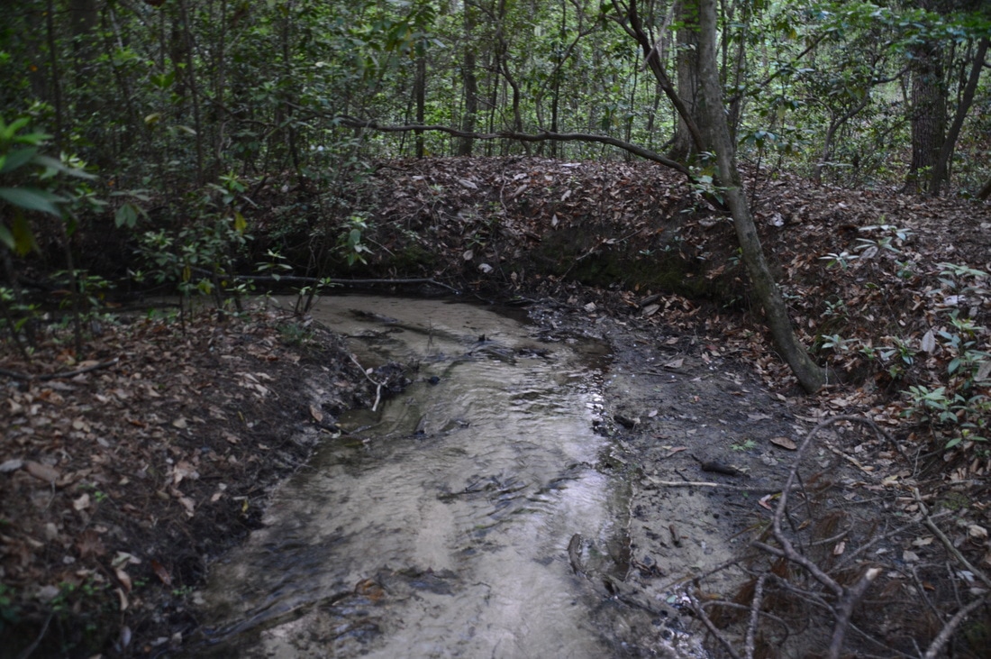
From Weeping Ridge Falls, retrace your steps to the Torreya Loop, returning to it at 3.0 miles. Turn left on the trail and pass through lush flats near a clear stream with a sandy bed. After crossing the stream, the trail ascends moderately to Logan Hill, one of the highest points on the hike at 3.3 miles. Along the way, there were several beautiful patches of pinkroot. A bench provides a breather at the top of Logan Hill, from where there are limited views of the surrounding terrain. Gazing from the hill, I could hardly tell that I was in Florida if not the surrounding palmettos. The trail steeply descends off the hill and arrives at the Apalachicola River once more at 3.5 miles. A double orange blaze directs the trail to the left and up a steep hill, passing a warning sign about alligators. Near the top of the hill, the trail passes through a very neat cleft between two small limestone bluffs. Dense groups of ferns cover the surrounding hillsides. At 3.55 miles, there is an intersection with the blue-blazed side trail to the Rock Bluff Campsites, while the Torreya Trail turns left. For more Apalachicola River views, turn right onto this side trail. At the second (of four) campsite, the trail reaches Rock Bluff Overlook at 3.7 miles. Even though the view is not fully clear due to some trees, it is still a notable view of the river about 60 feet below. The Apalachicola River is so wide here that it almost looks like a lake! The trail continues past two other campsites and ends at an open view near river level at 3.75 miles.
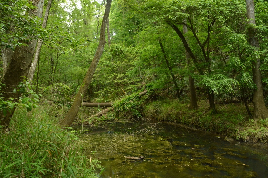
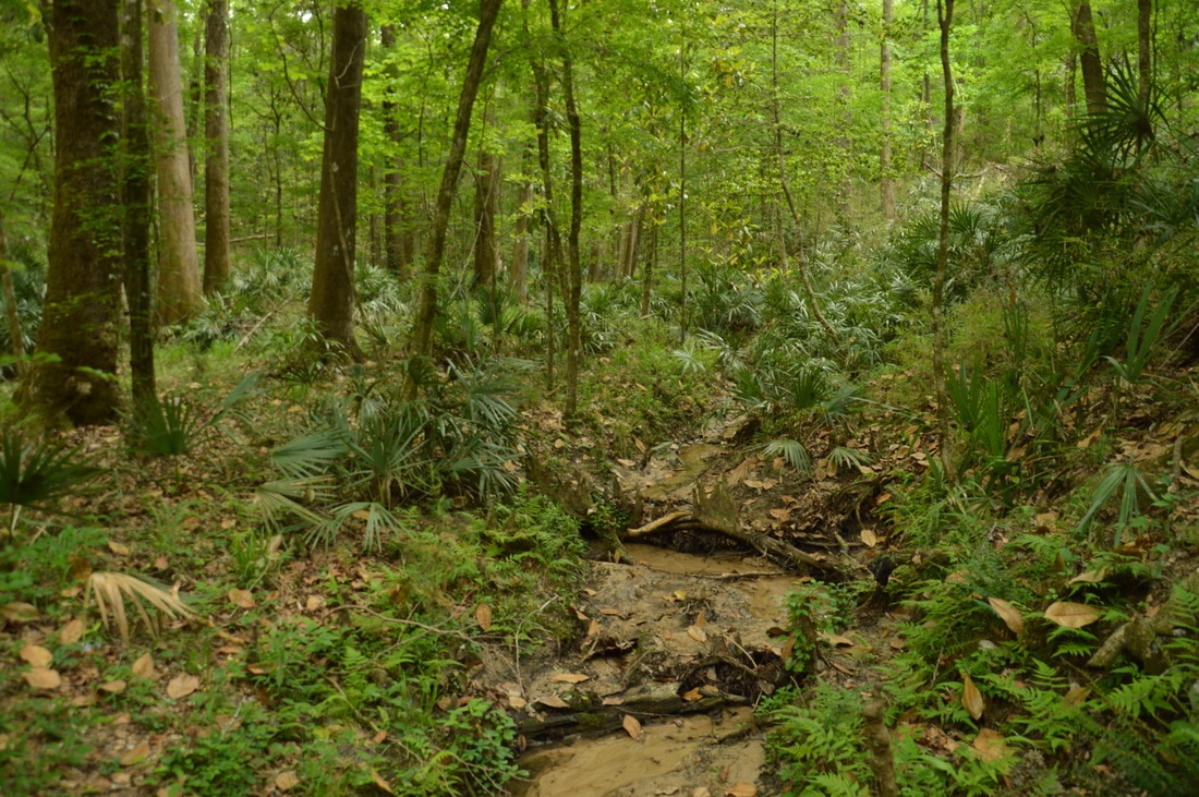
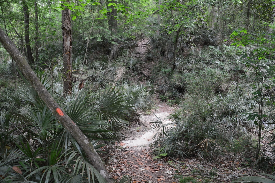
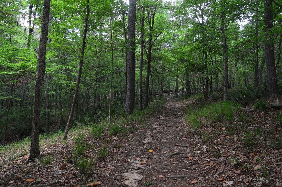
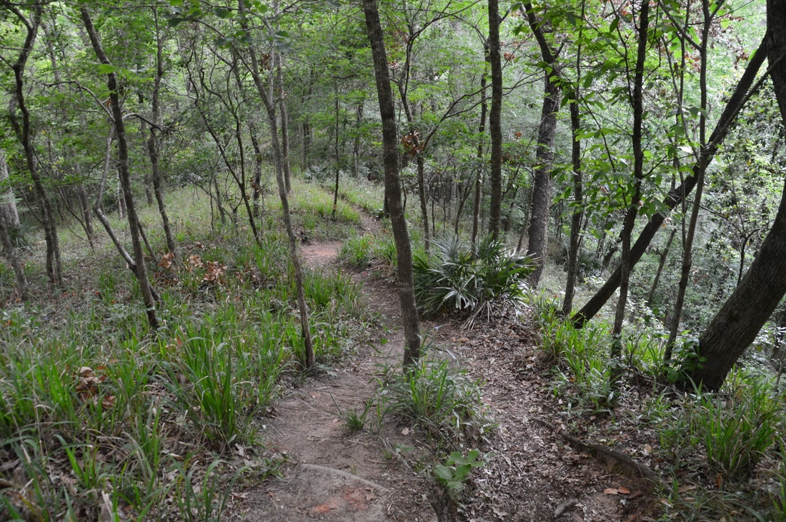
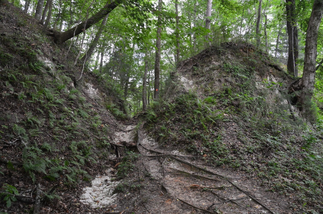
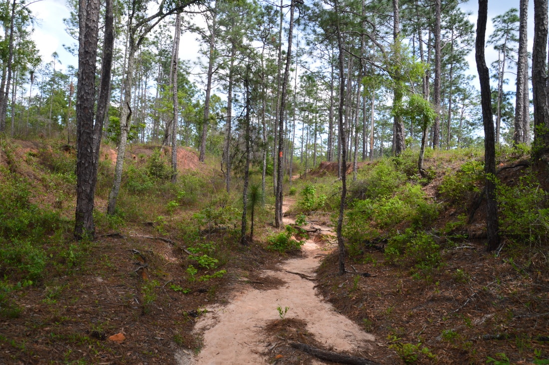
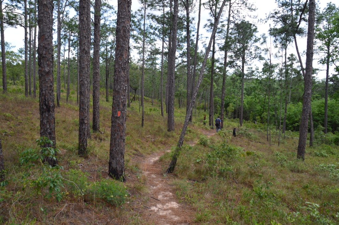
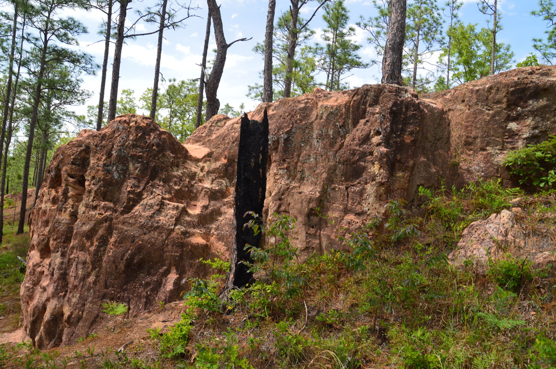
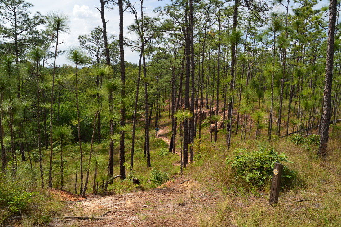
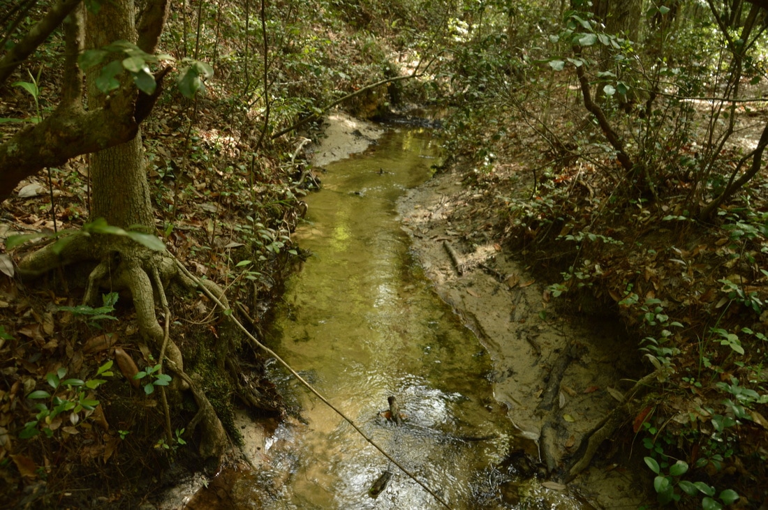
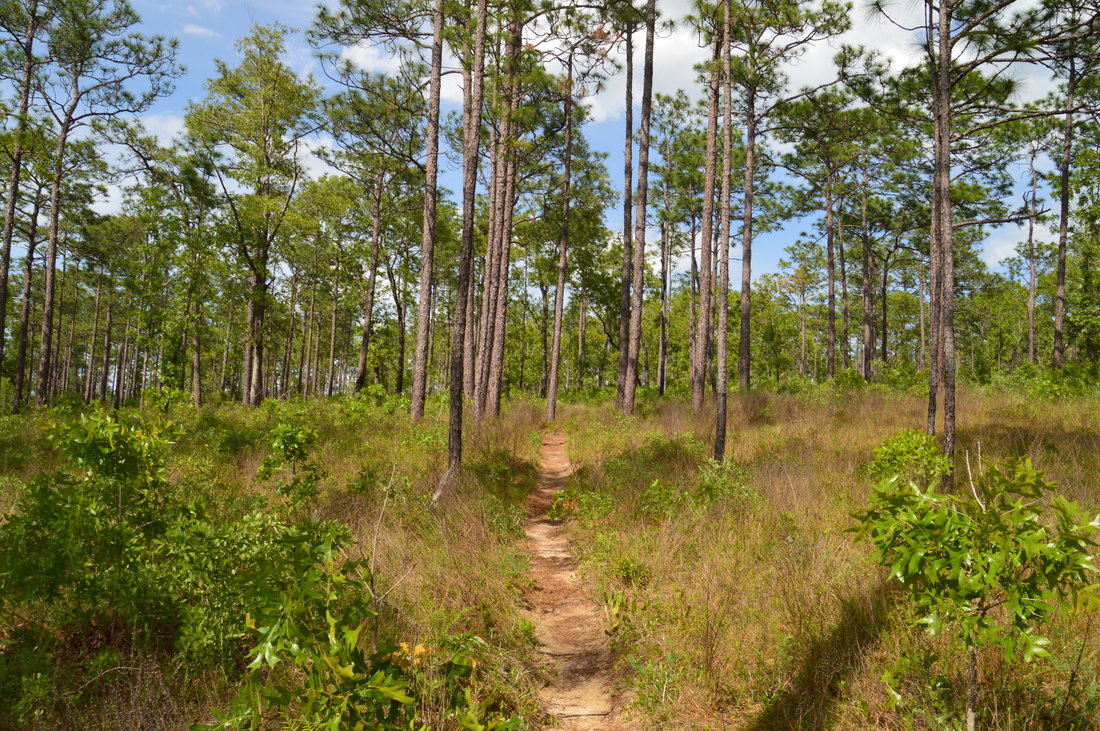
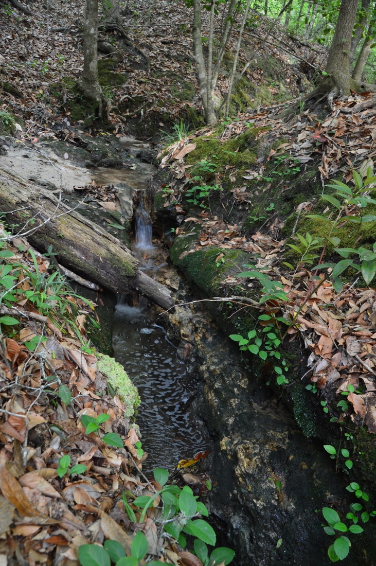
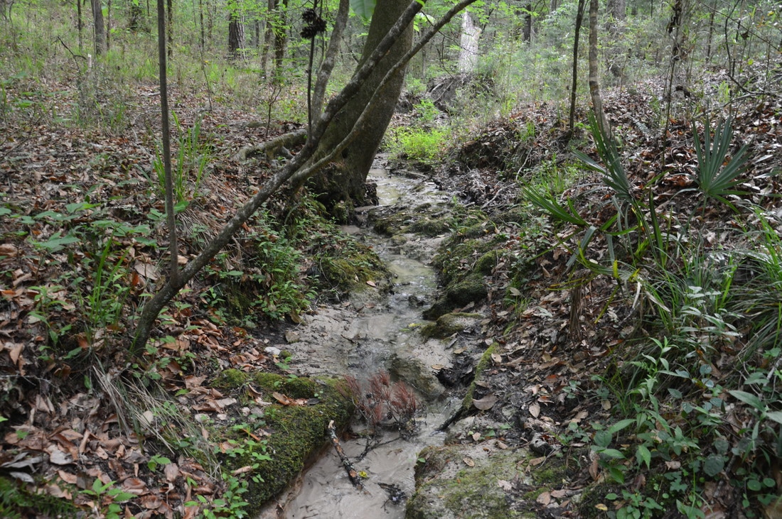
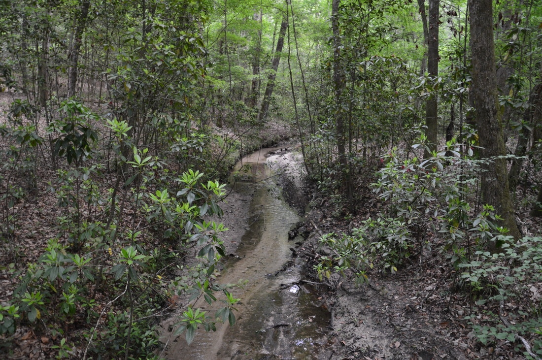
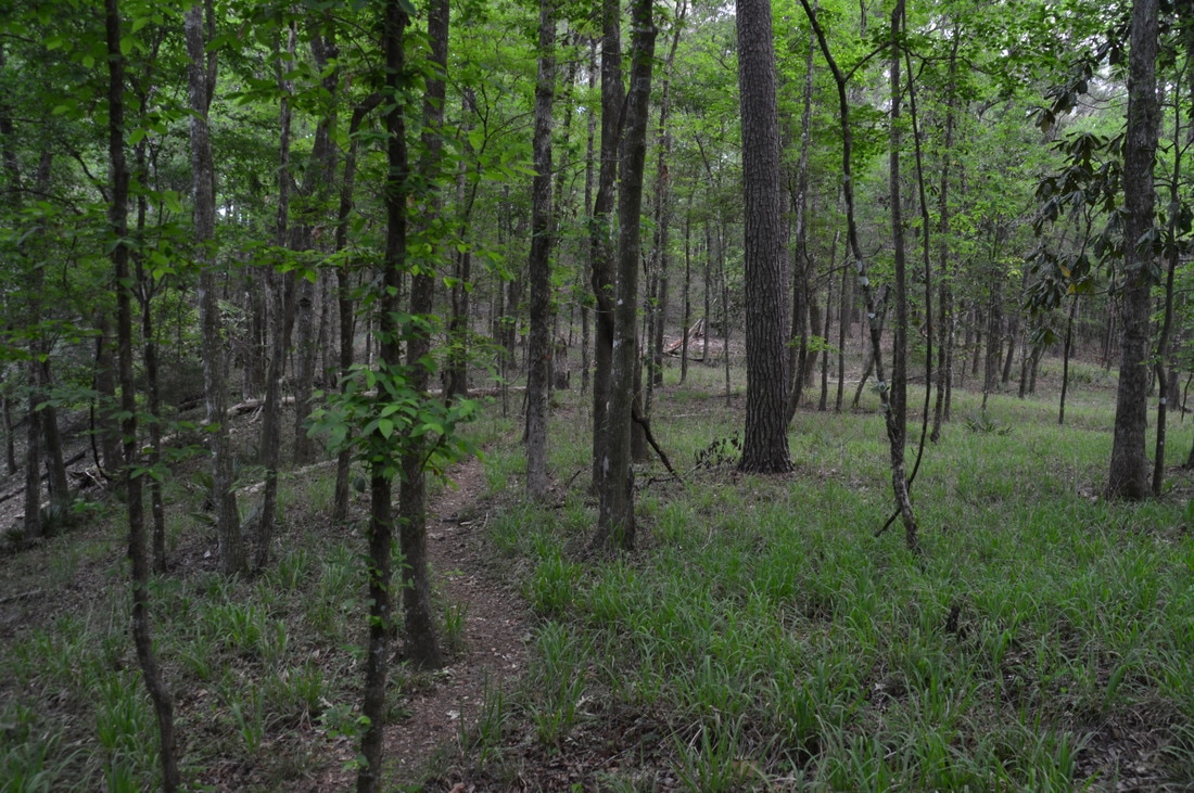
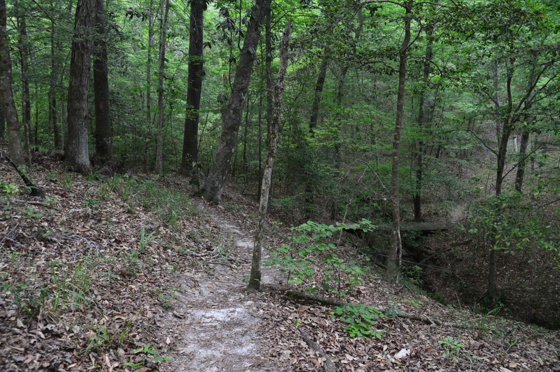
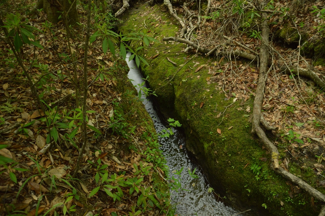
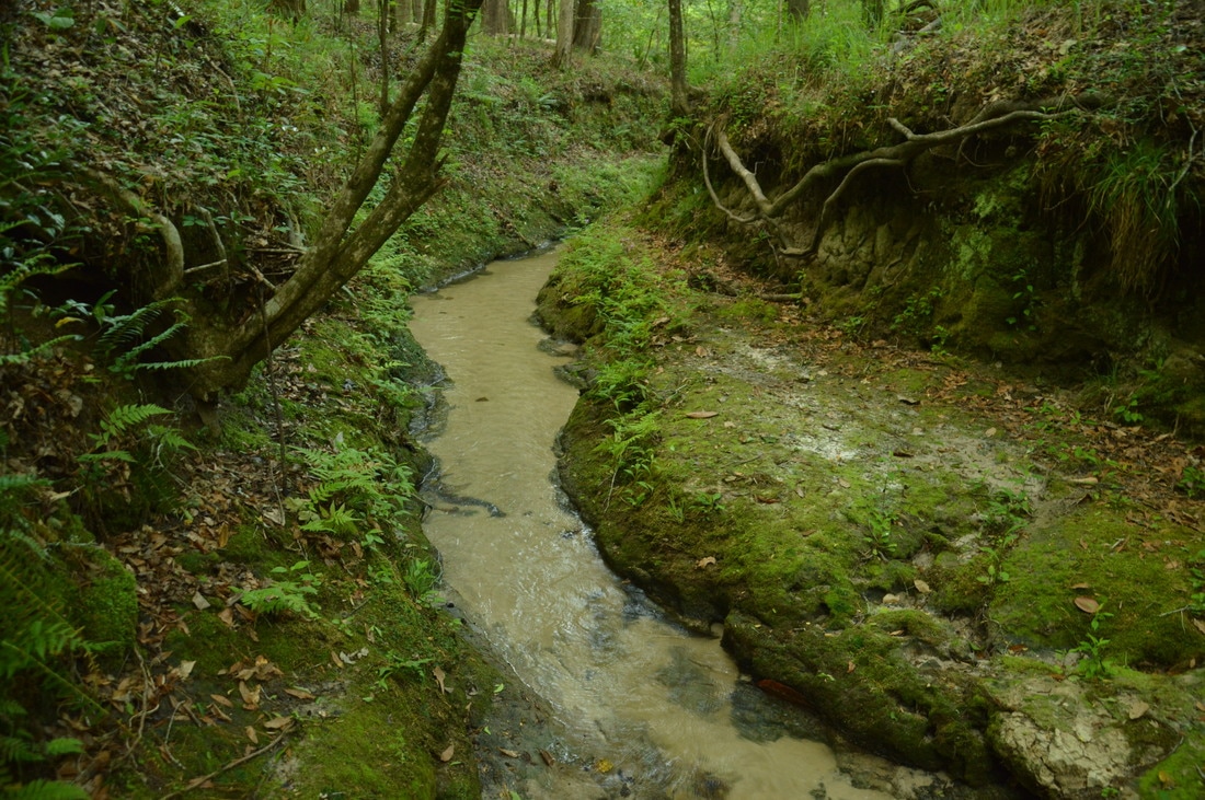
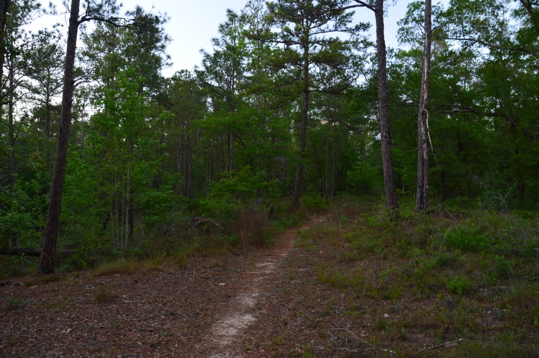
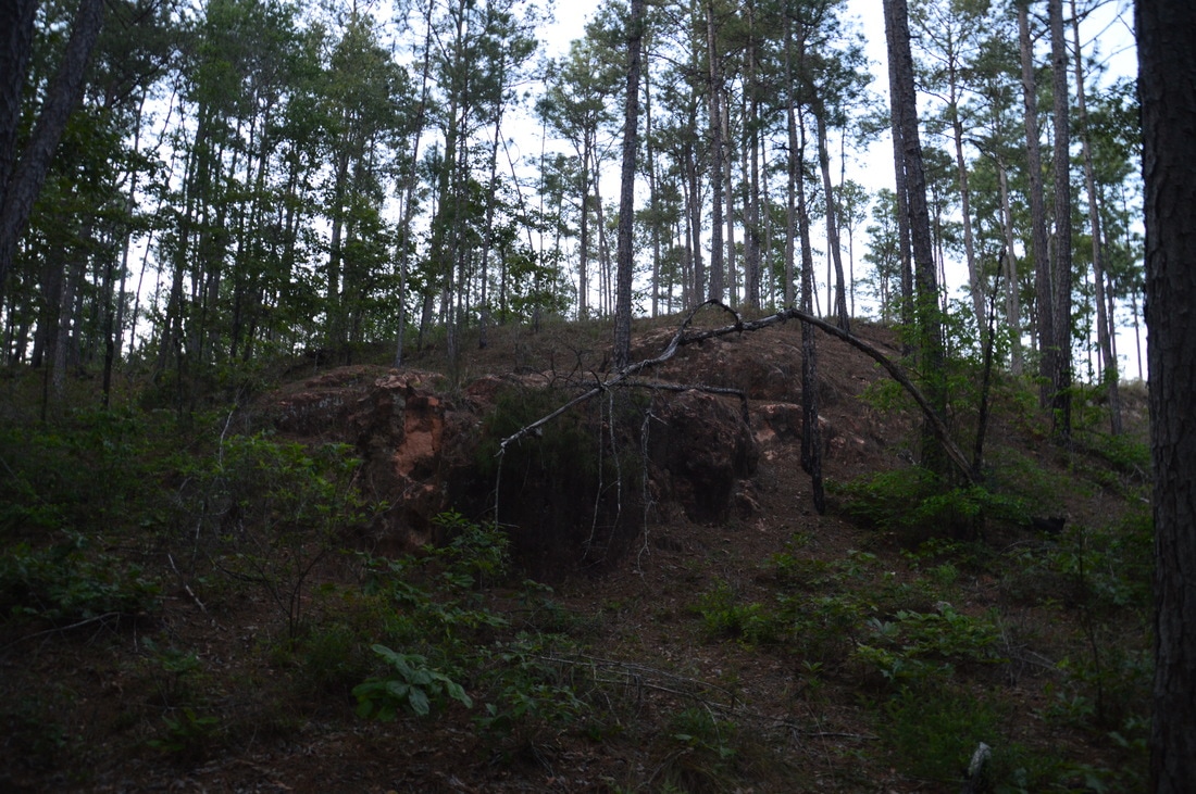
From the views at Rock Bluff, retrace your steps to the Torreya Loop and continue following the trail past a portable outhouse and onto a broad forest road. This is one of the easier stretches of the hike, ascending gently along the forest road. At 4.45 miles, the trail bears left, leaving the forest road while a blue-blazed connector trail to another trailhead continues on the forest road. Meanwhile, the main trail leaves the shade of the forest and enters open pine scrub, recrossing the forest road at 4.55 miles. This is one of my favorite sections of the hike, as the trail plunges deeper into the pine scrub and reaches a line of low limestone bluffs at 4.7 miles. The patterns and holes in the limestone are quite fascinating. At 4.75 miles, the trail makes a brief but steep climb up a hill/drop-off, from the top of which there is a great view looking back at the trail snaking through the pines and past the bluffs. At the top, the trail turns right and approaches the edge of a ravine at 5.0 miles. More bluffs are seen at the edge of the ravine. The trail chooses to stay in the hilltop pine scrub though, making a 180-degree turn to the north and reaching the highest point on the hike at 5.05 miles. From here, a gentle downhill begins as the trail crosses the main park road behind the park entrance at 5.3 miles. This is where the trail leaves the pine scrub and descends into a ravine, bridging a clear stream at 5.6 miles. Then, the trail passes through another stretch of open pine scrub and descends into a larger ravine. At 6.5 miles, the sound of rushing water comes from the stream below as the trail makes a sharp right turn. An easy scramble off the trail and down to the creek, where there is a picturesque cascade surrounded by limestone. 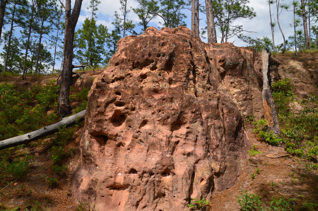
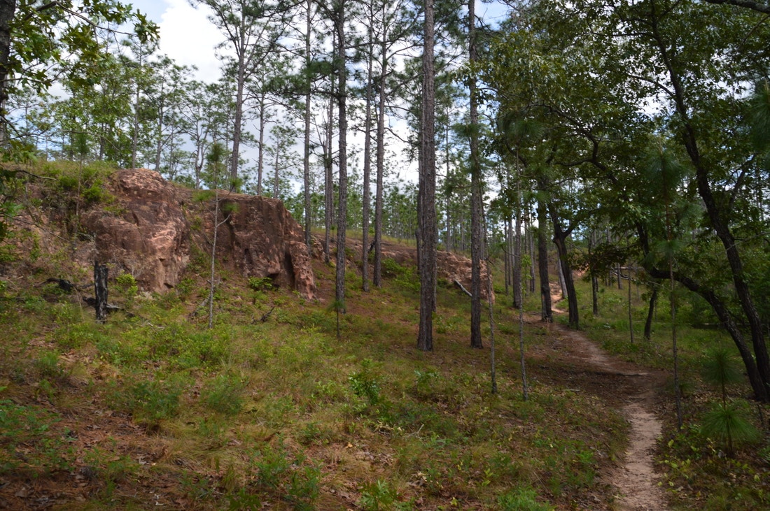
Bizarre limestone outcrops line the Torreya Trail between Rock Bluff and the entrance to Torreya State Park.
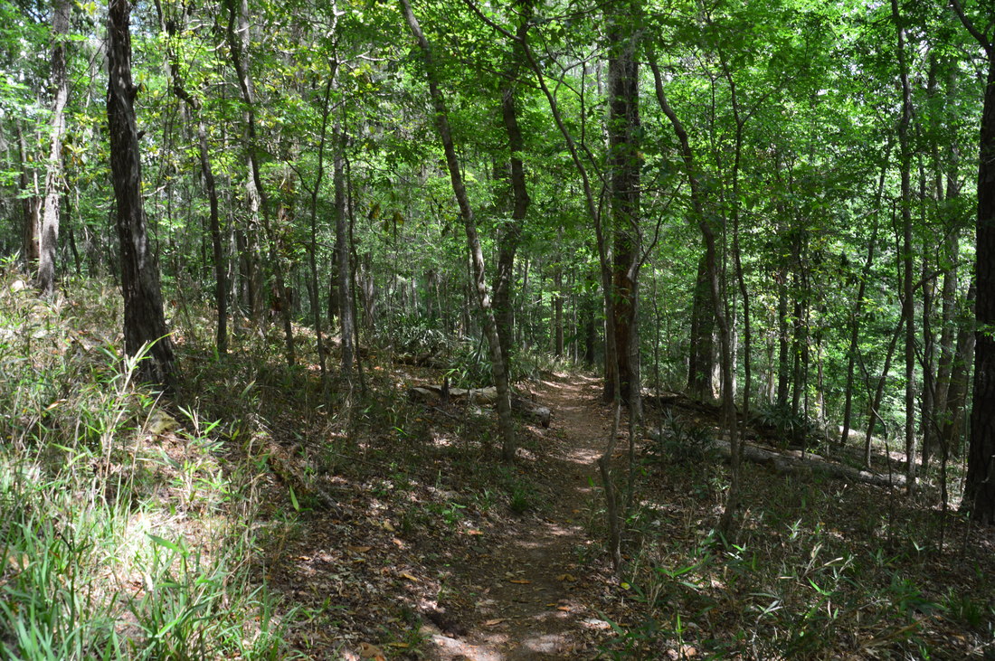
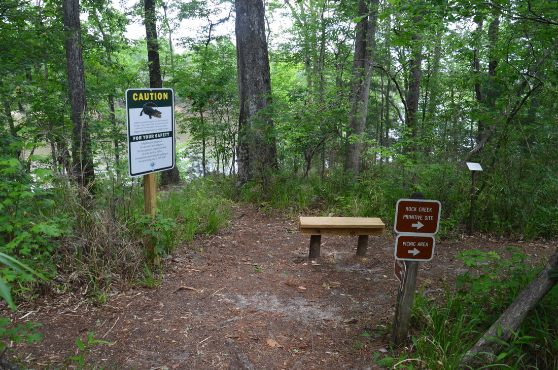
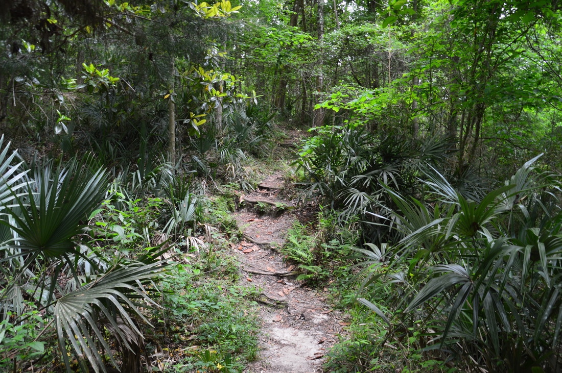
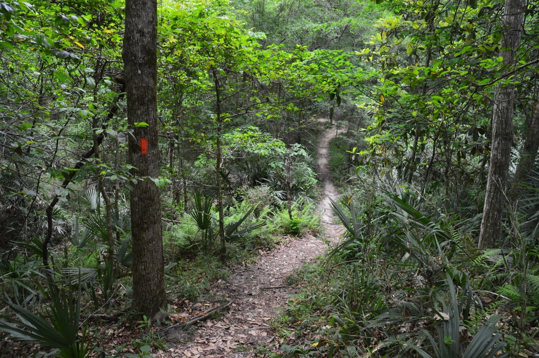
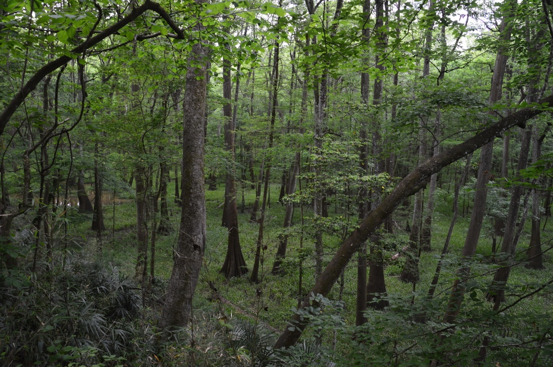
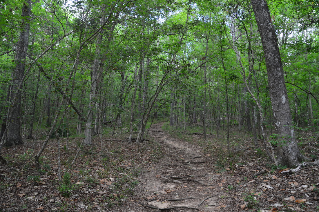
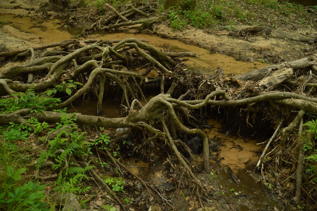
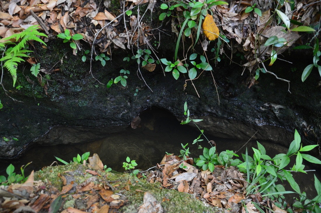
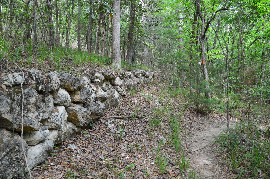
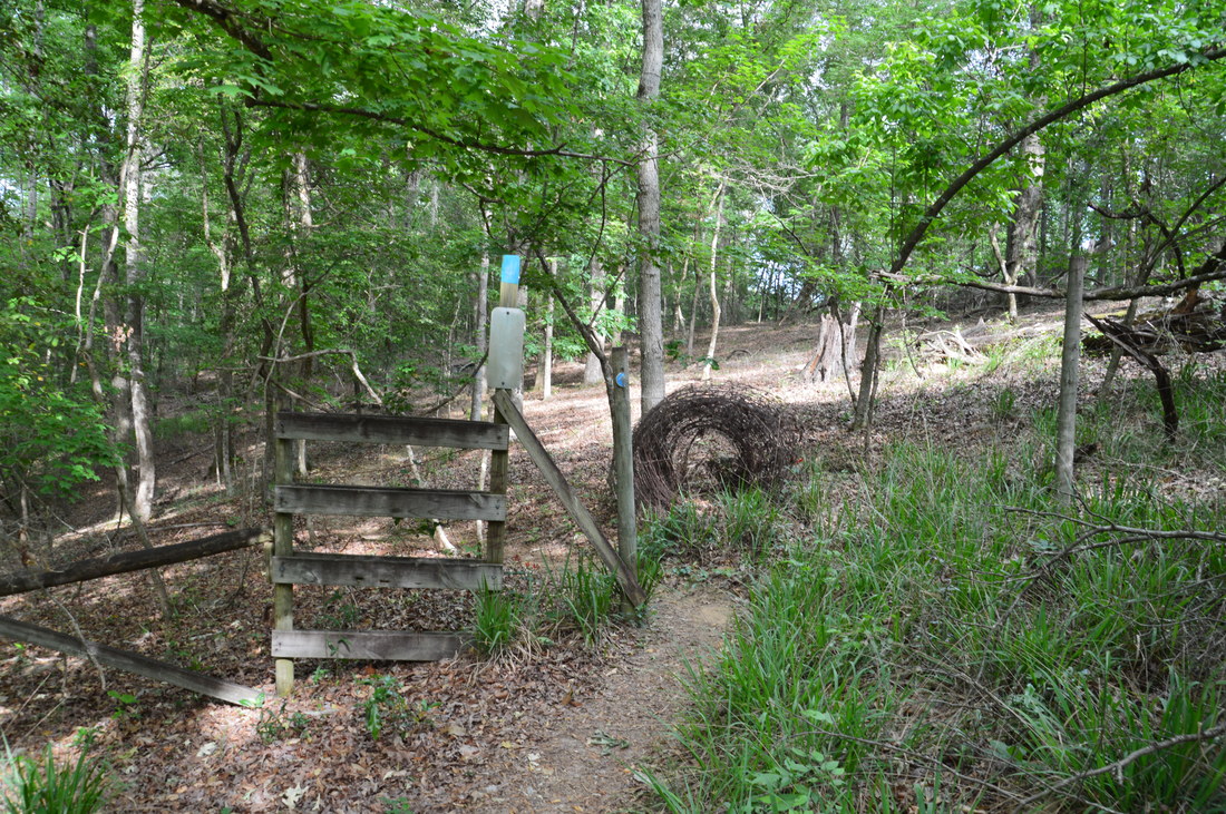
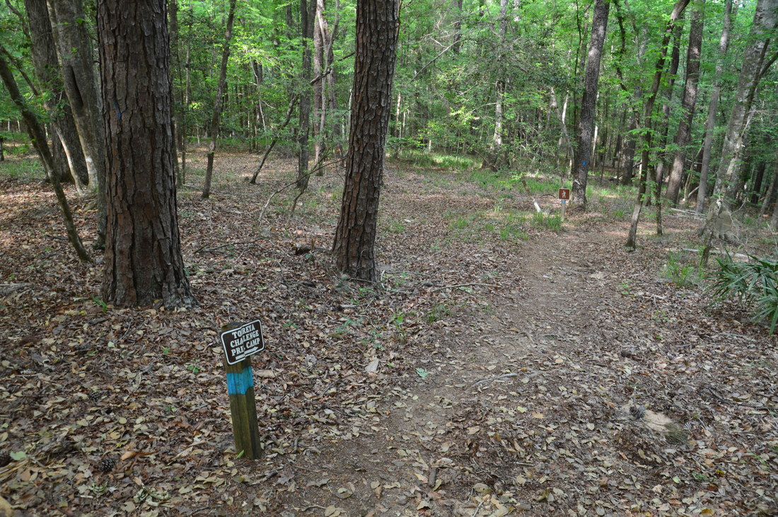
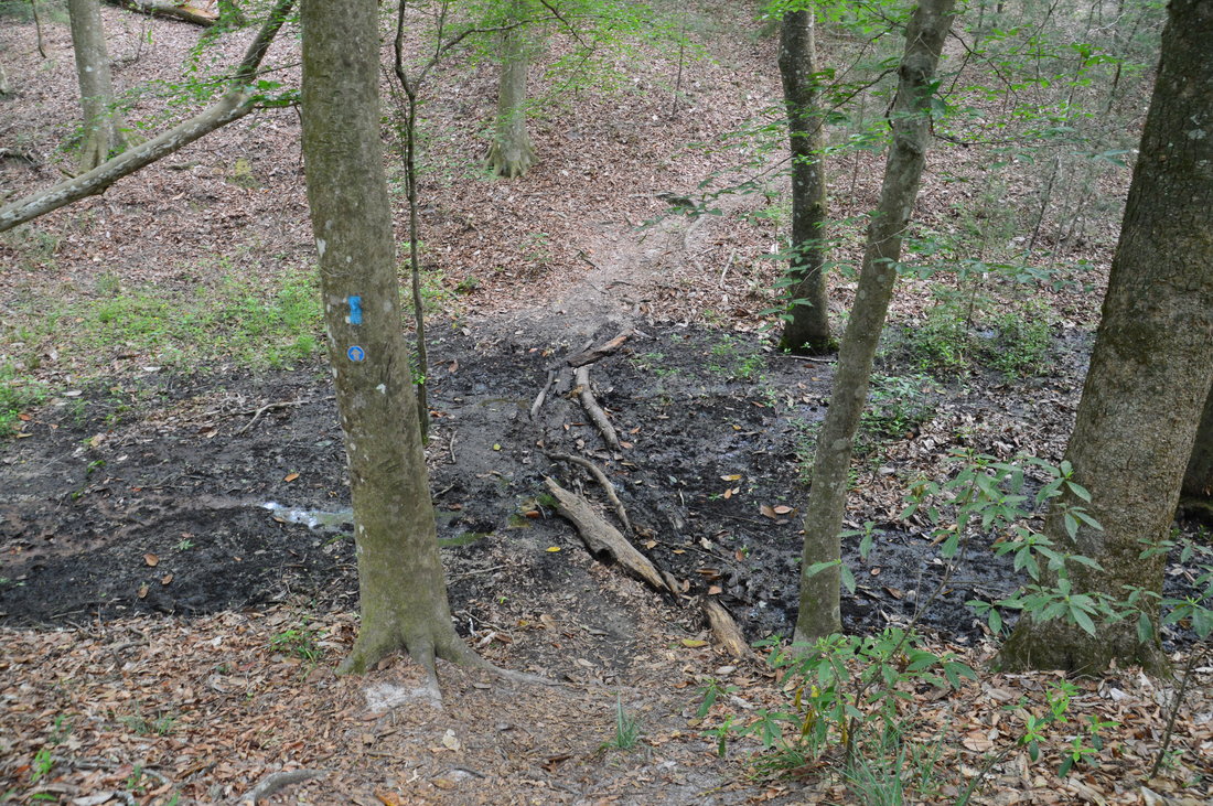
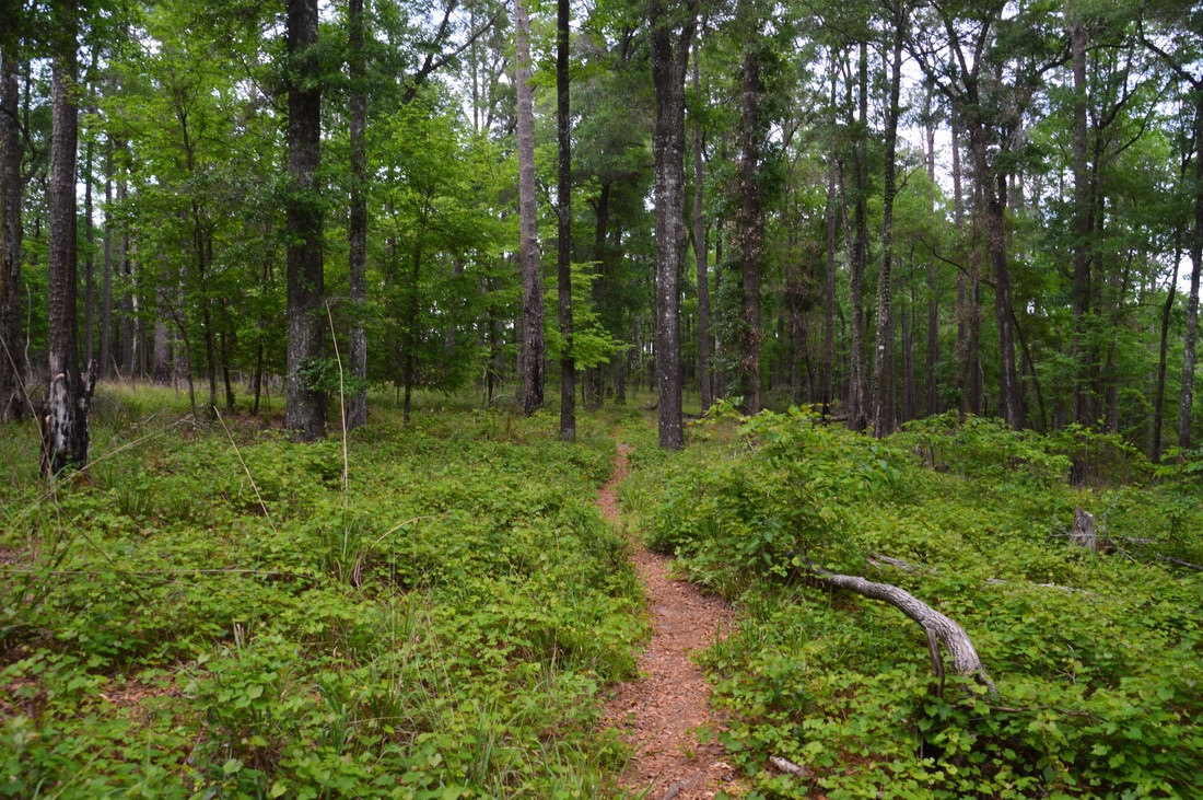
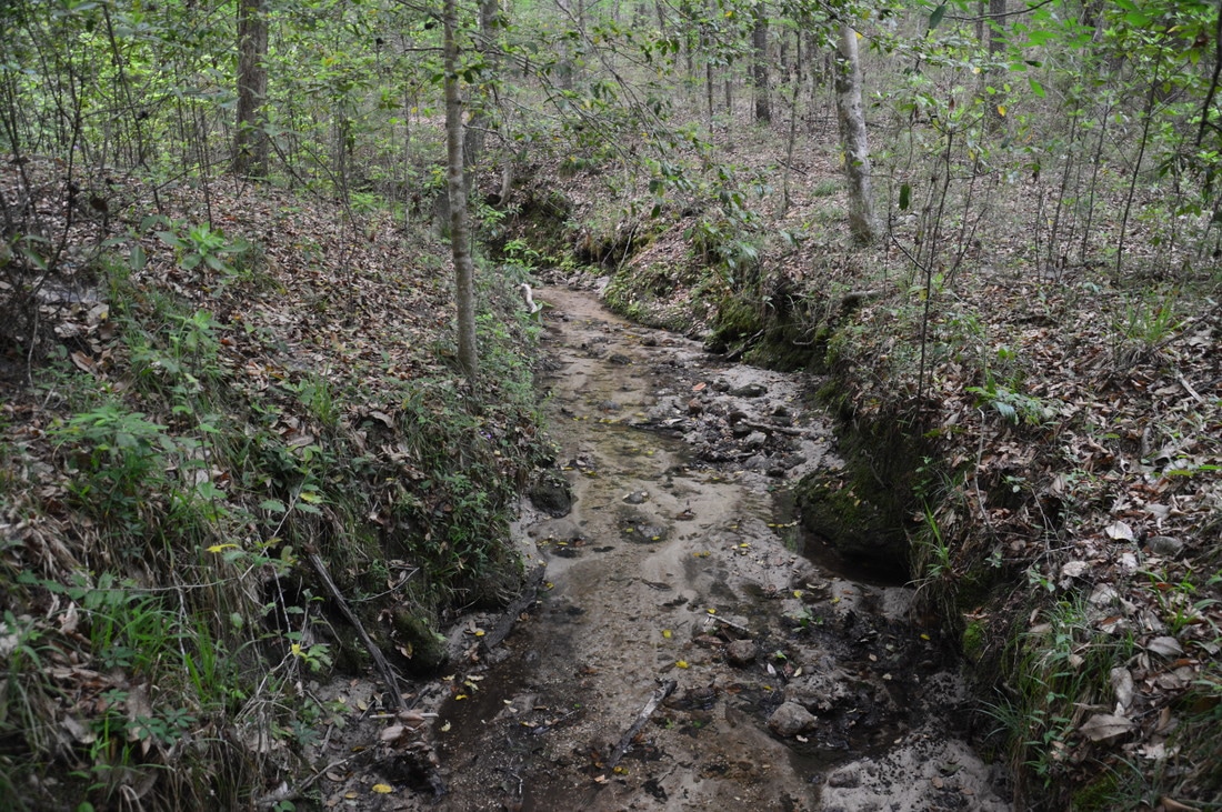
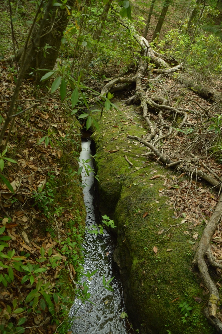
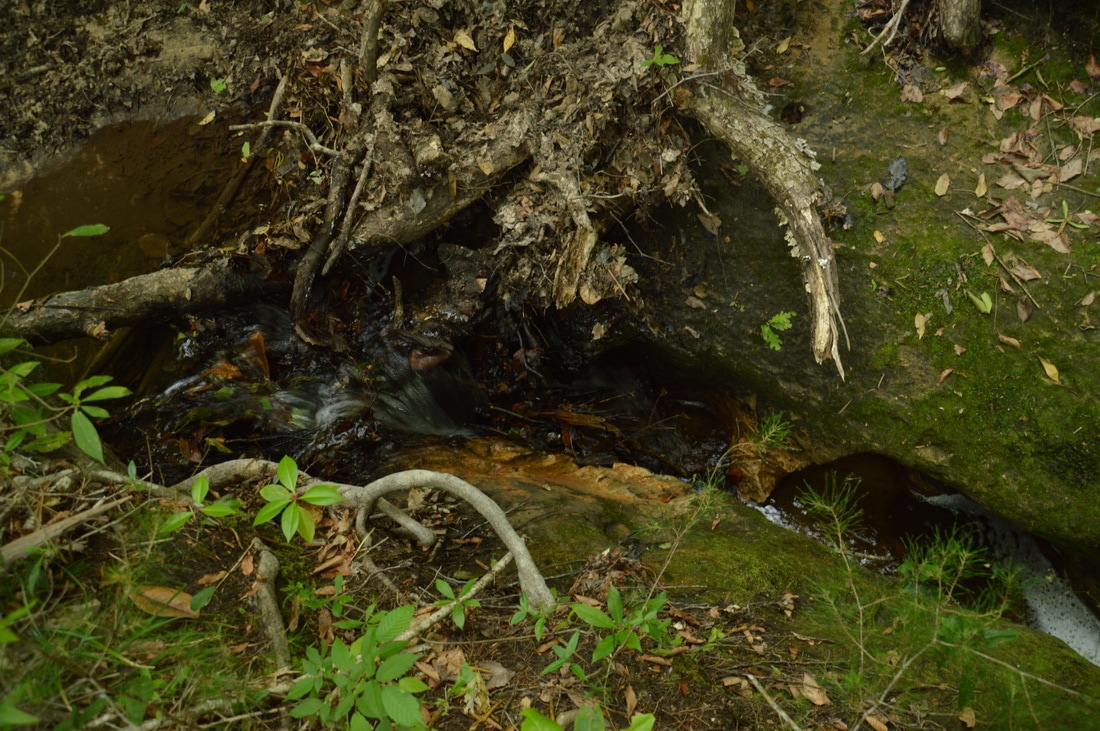
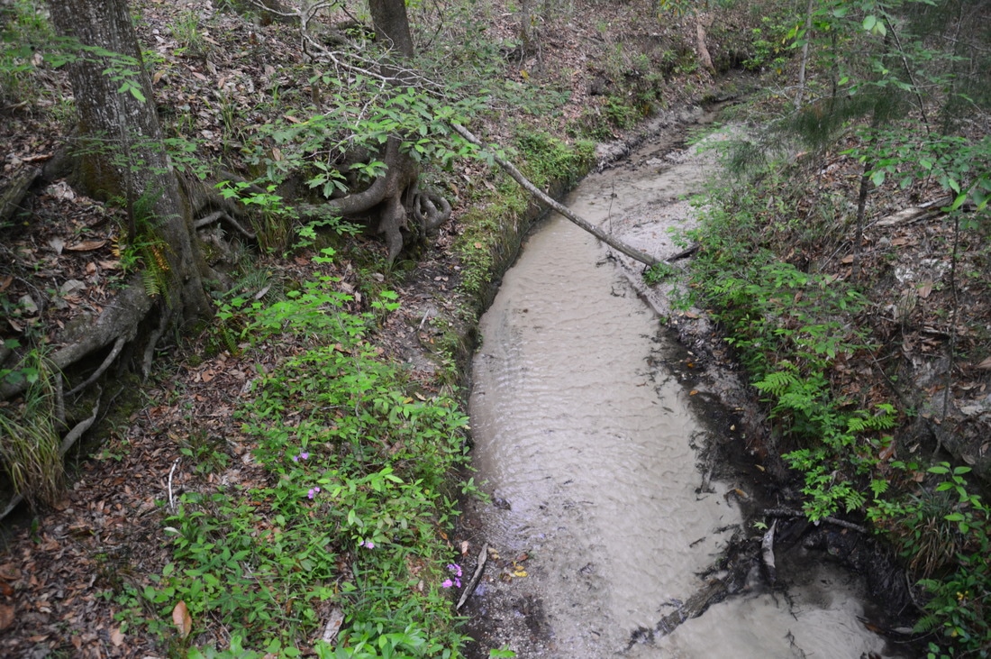
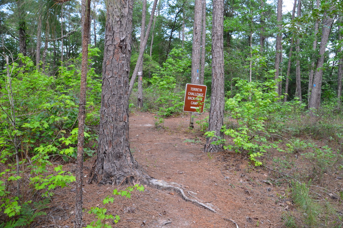
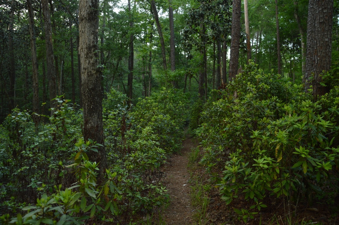
After the cascade, the trail winds in and out of a small ravine and joins an old forest road next to a rock wall. At 6.9 miles, reach the junction with the connector trail that leads to the Rock Creek Loop. The blue-blazed connector trail is marked by the sign "Torreya Challenge Trail Starts Here". I highly recommend adding on the Rock Creek Loop to the hike, as it is more remote and passes interesting features on the creeks that it crosses. The Rock Creek Loop also appears to have a higher concentration of hills and ravines. Thus, turn right onto the connector trail and begin ascending up a hill. At 7.0 miles, the trail passes through a fence and then briefly turns left to join a forest road. Private property lies to the right of the trail. The connector trail crosses a stream, tops another hill, and then makes a tricky crossing of a muddy area before ending at the orange-blazed Rock Creek Loop at 7.4 miles. I suggest hiking the loop clockwise to get the majority of the hills out of the way first. After topping yet another hill, the trail crosses a large tributary of Rock Creek via a footbridge at 8.35 miles. It is interesting how all of this area is mostly hardwood forest, including both the ravines and hilltops. After the tributary, the trail makes a slow climb and then levels out on a sort of ridge between two tributaries of Rock Creek. This ridgewalk is my favorite section of the Rock Creek Loop, mainly due to the remote forest that does not resemble typical Florida forests in any way. A sign points the trail to the left off the ridge at 9.2 miles, and at 9.45 miles, you will cross another large tributary of Rock Creek. Note the steep limestone banks at this creek. Only a couple hundred feet after the bridge, you will hear the sound of rushing water just to the right of the trail. It is well worth walking off the trail and to the source of the noise at 9.5 miles. The source is actually one of the most fascinating sights that I have seen in Florida: a miniature slot canyon from limestone! The clear waters of the tributary suddenly rush into this narrow passage after a pretty cascade. It is very difficult to capture in photos the beauty of this spot.
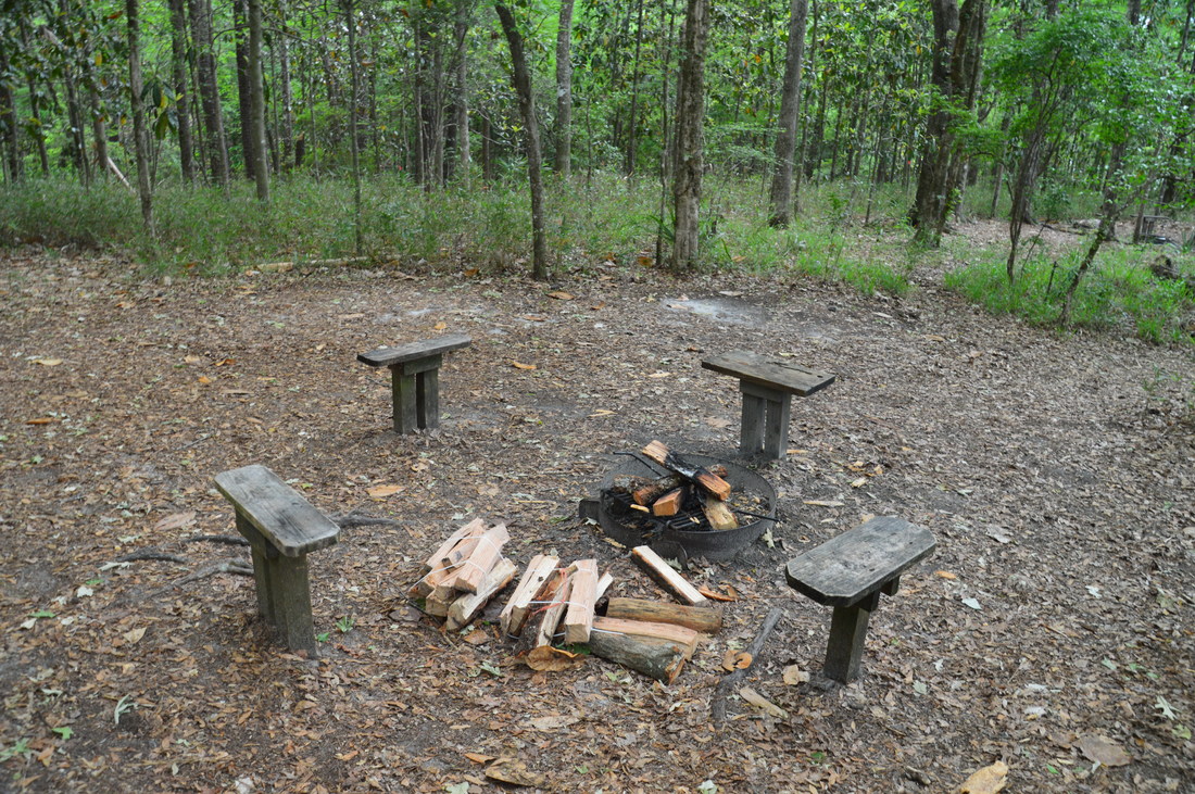
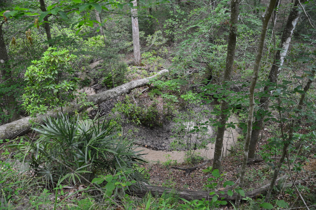
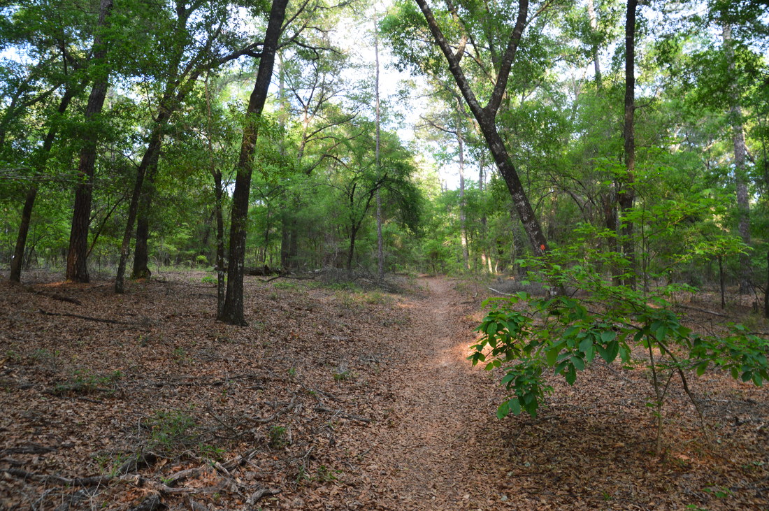
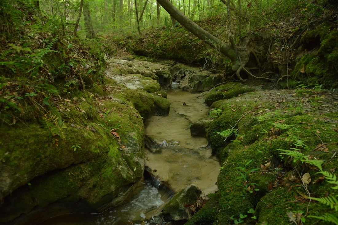
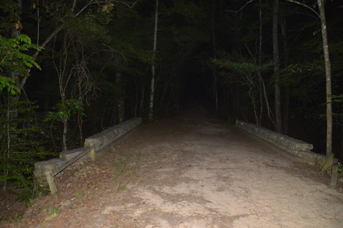
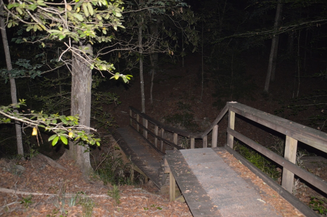
Return to the trail and follow it to the top of another ridge, where the trail crosses a forest road twice and then joins it on the way to Rock Creek. At 10.4 miles, the trail crosses Rock Creek itself via a pretty footbridge. Just downstream from the bridge is a limestone canyon that is another one of the highlights of the loop. A path leads into the canyon, where there are several cascades. During high water, many of the cascades and limestone outcrops are likely water-covered, but during low water, the intricate patterns in the creekbed are revealed. Returning to the trail, you will reach the intersection with the blue-blazed side trail to Torreya Challenge Backpack Camp at 11.05 miles after what seems like the hundredth ascent on the hike. The Torreya Challenge Camp has four campsites at the head of a steephead ravine. Continuing on the main trail, you will cross another tributary of Rock Creek at 11.5 miles and then make a long traverse atop hills east of Rock Creek. At 13.05 miles, the trail crosses Rock Creek once more, although now, the creek is significantly larger due to all the tributaries that join it to the south. You will reach the end of the Rock Creek Loop at 13.1 miles. Here, turn right onto the connector trail and follow it back to the Torreya Loop. Returning to the Torreya Loop at 13.6 miles, turn right and follow the descending trail to and across a stone bridge across a small stream at 13.7 miles. Shortly after the bridge, the trail turns right off the road while the road continues straight to the picnic area. The trail crosses another hill at 14.3 miles, briefly joining another forest road on top. At 14.4 miles, the trail crosses a long footbridge across another small stream, and then, a side trail to the Rock Creek Campsite splits off to the right at 14.75 miles. Bear left to continue following the Torreya Trail, passing a side trail to the picnic area and reaching the end of the loop at 15.15 miles, where the Gregory House access trail leaves left. Follow the access trail uphill for the final stretch back to the trailhead, concluding this difficult hike at 15.5 miles. 
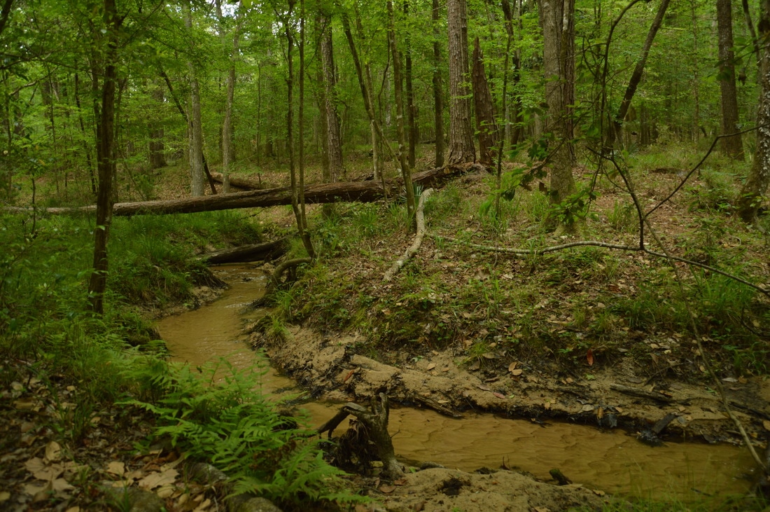
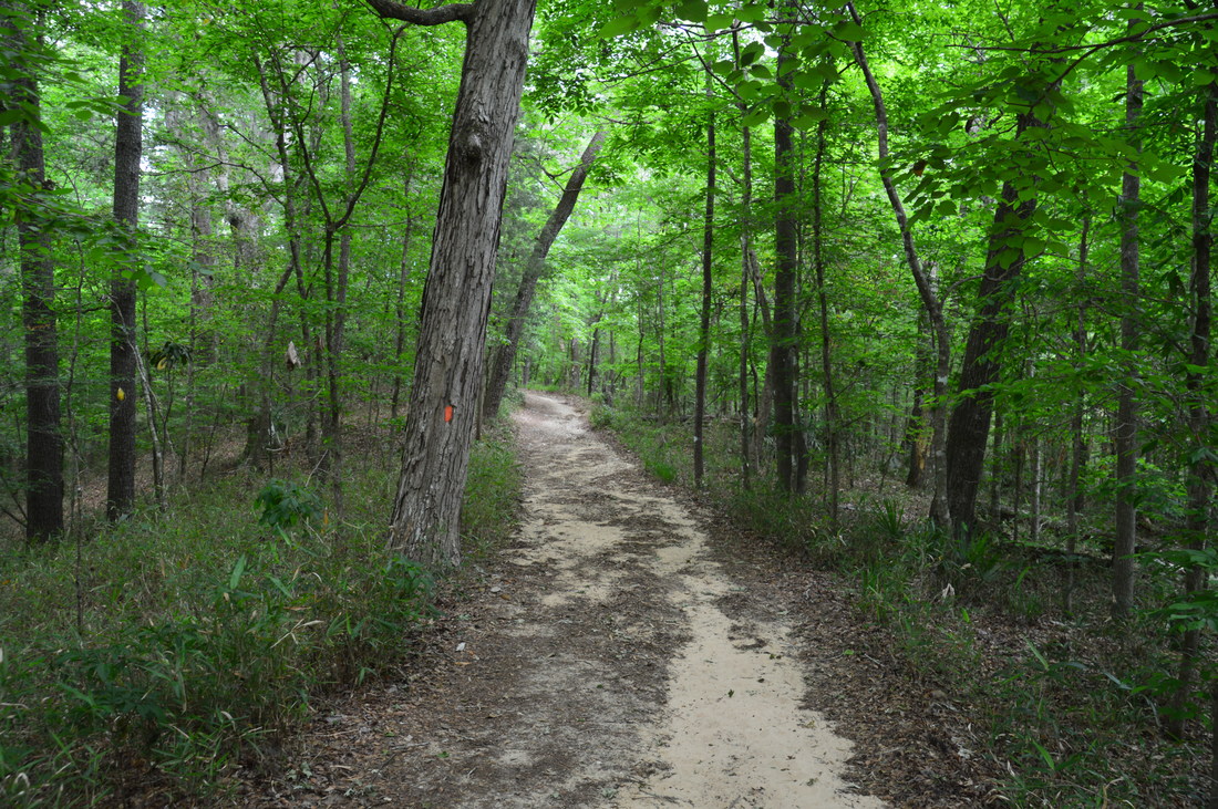
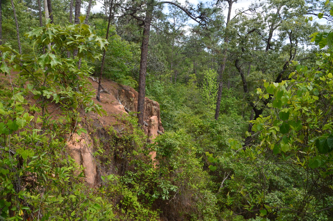
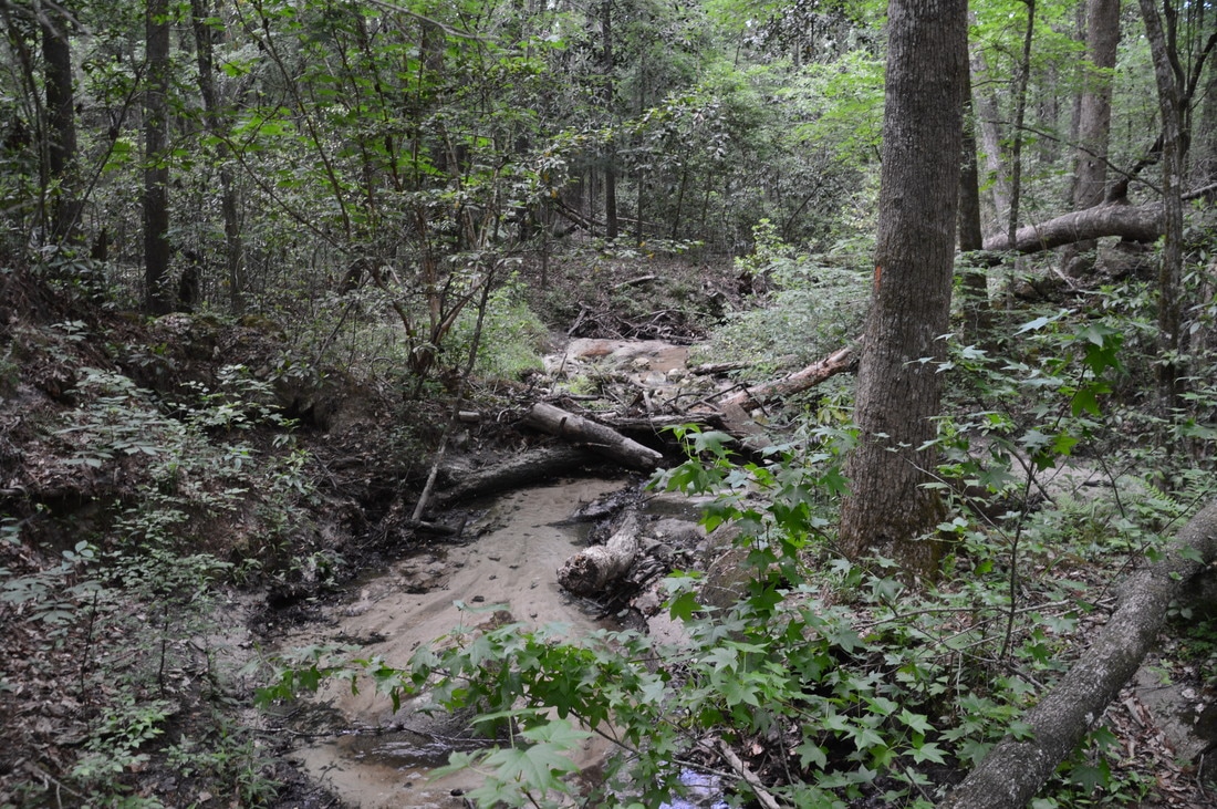
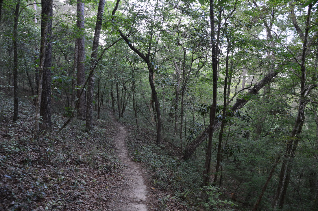
Portions of the Rock Creek Loop pass through remote hardwood forests on hills between Rock Creek and its tributaries.
The hiking trails in Torreya State Park showcase unique aspects of Florida nature, found nearly nowhere else in the state. For this reason, I decided to rate this hike a "Best Hike". Every Florida hiker has to visit Torreya State Park at least once to fully appreciate the diversity of ecosystems throughout the state. The hiking trails at Torreya State Park are also good training for folks who have never hiked in more mountainous terrain and are wishing to do so.
Mileage
0.0 - Gregory House Trailhead
0.35 - Apalachicola River 2.4 - Weeping Ridge Falls 3.7 - Rock Bluff Overlook 4.7 - Limestone Bluffs 5.3 - Torreya State Park Entrance 6.5 - Cascade 9.5 - Miniature Slot Canyon 10.4 - Limestone Canyon on Rock Creek 13.7 - Stone Bridge 15.5 - Gregory House Trailhead Variations
Hike just the Gregory House Loop - 1.0 Miles
Hike to Weeping Ridge Falls out and back via Gregory House Loop - 4.2 Miles Hike to Weeping Ridge Falls and Rock Bluff Overlook - 5.7 Miles Hike just the Torreya Loop and side trails to Weeping Ridge and Rock Bluff - 9.5 Miles Bonus Stops
Another hike near Torreya State Park that is well worth doing is the Garden of Eden Trail at Apalachicola Bluffs and Ravines Preserve. This trail highlights ecosystems similar to those in Torreya, although in my opinion, some aspects of it are even more beautiful, such as the spectacular view from Alum Bluff.
PicturesVideos
0 Comments
Leave a Reply. |
About MeMark Oleg Ozboyd Dear readers: I have invested a tremendous amount of time and effort in this website and the Georgia Waterfalls Database the past five years. All of the work that has gone in keeping these websites updated with my latest trip reports has almost been like a full-time job. This has not allowed me to pick up a paid job to save up money for college, and therefore, I I've had to take out loans. If you find the information on this website interesting, helpful, or time-saving, you can say "thanks" and help me out by clicking the button above and making a contribution. I will be very grateful for any amount of support you give, as all of it will apply toward my college tuition. Thank you!

Coming in 2022-2023?
Other Hiking WebsitesMiles HikedYear 1: 540.0 Miles
Year 2: 552.3 Miles Year 3: 518.4 Miles Year 4: 482.4 Miles Year 5: 259.9 Miles Archives
March 2021
Categories
All
|


 RSS Feed