HIKING THE APPALACHIANS AND BEYOND
Home
Trail Reports
Best Hikes
Hikes with Scenic Views
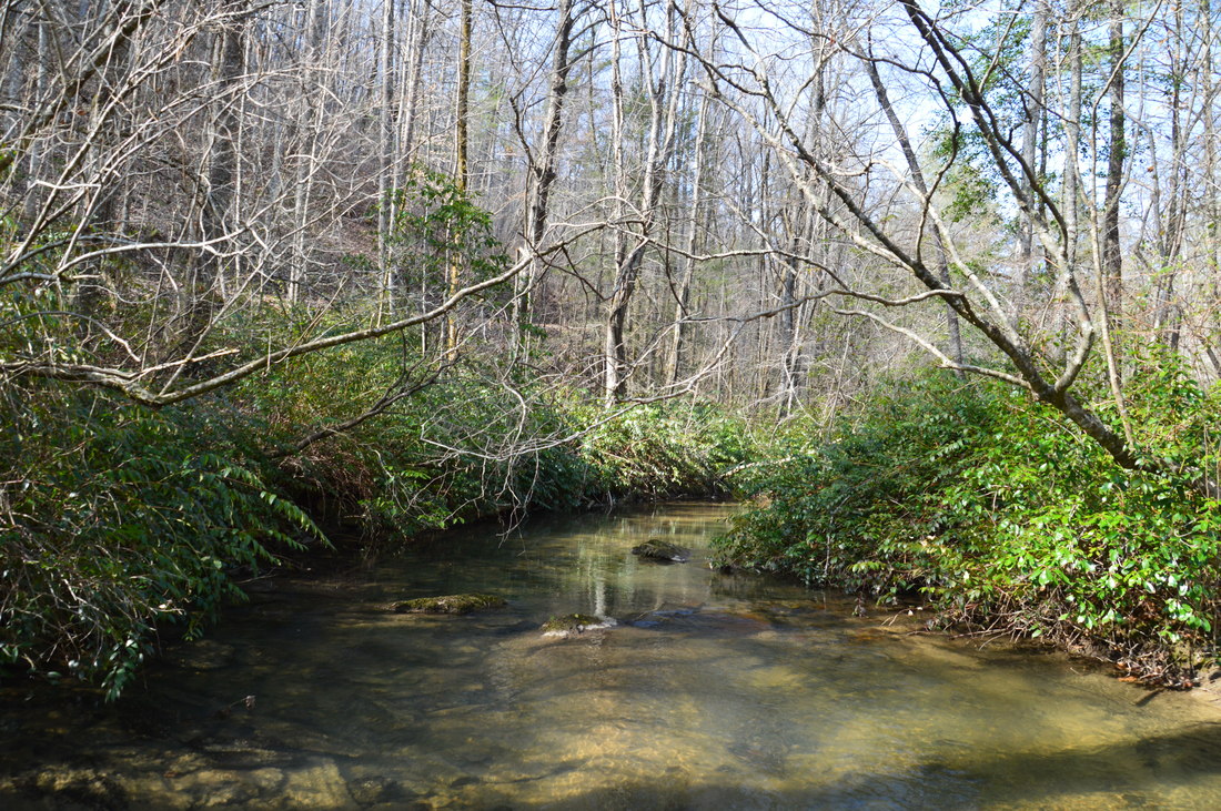
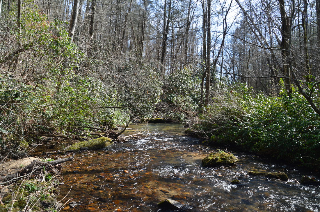
Hikes with Water Features
Alabama
Georgia
Florida
North Carolina
South Carolina
Tennessee
Vermont
Virginia
Map
Hike List
Testimonials
Resources
Contact Us
Southeast Nature Society
Our Team
Georgia Waterfalls Database
Home
Trail Reports
Best Hikes
Hikes with Scenic Views
Hikes with Water Features
Alabama
Georgia
Florida
North Carolina
South Carolina
Tennessee
Vermont
Virginia
Map
Hike List
Testimonials
Resources
Contact Us
Southeast Nature Society
Our Team
Georgia Waterfalls Database


 RSS Feed