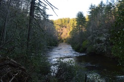
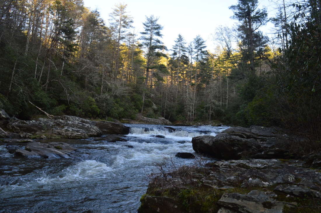
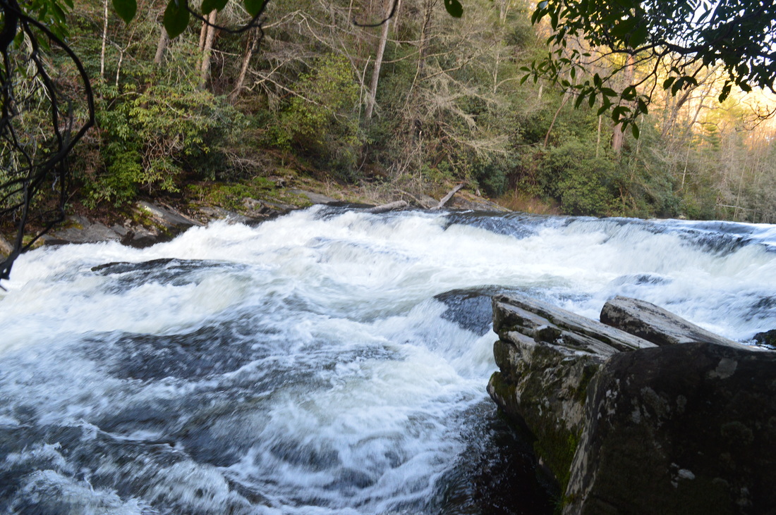
Big Bend Falls is one of the most powerful waterfalls in Upstate South Carolina. Located on the Chattooga Wild and Scenic River, the falls is one big mass of rapid whitewater, tumbling around 30 feet. To the east of the river, the Chattooga Ridge separates the main waterway from Cheohee Valley, which is a large area that lies at the base of the Cherokee Foothills. Several streams tumble down the steep eastern slopes of Chattooga Ridge, and a couple of these streams create several wonderful waterfalls that can be reached from the Winding Stairs Trail. This hike occurred on Saturday, April 4th, 2015. My plan was to hike the Winding Stairs Trail, the Big Bend Trail, and the Foothills Trail from the end of the Big Bend Trail to Cheohee Road. Since this isn't a loop and I didn't have a shuttle vehicle, I would finish with several miles of roadwalk on Cheohee Road.
R/T Length of Trail: 18.5 Miles
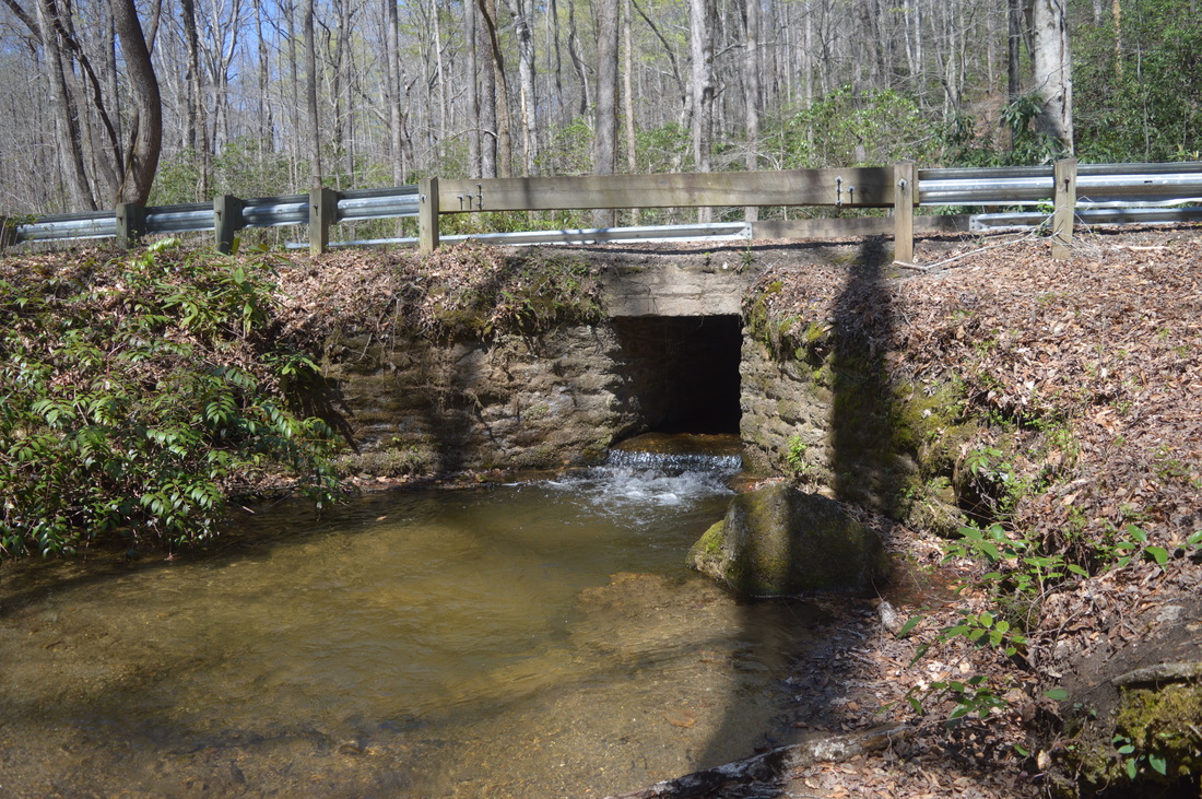
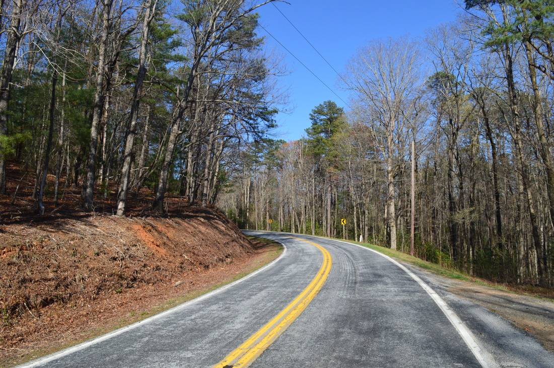
Duration of Hike: 9:30 Type of Hike: Loop Difficulty Rating: 7 out of 10 Pros: Many water features; generally easy/well-used trails Cons: Most waterfalls have steep and difficulty side trails (especially the Big Bend Falls one) Scenic Views: None Water Features: Big Bend Falls - 8 stars; Miuka Falls - 7 stars; Secret Falls - 5 stars; Lower Falls on West Fork Townes Creek - 3 stars; Licklog Falls - N/A; Pigpen Falls - N/A Best Season(s) to Hike: Winter; Spring Trail Blaze Color(s): Winding Stairs Trail - None; Big Bend Trail - None; Foothills Trail - White Beginning Point: Winding Stairs Trailhead on Cheohee Road Directions: From Walhalla, SC: Follow SC State Route 183 North for 3.5 miles. Then, take the ramp left towards SC Route 11. Follow the ramp for 0.1 miles, and then, turn right onto SC State Route 11 North. Follow SC State Route 11 for 4.3 miles, and then, turn left onto Cheohee Valley Road. Follow Cheohee Valley Road for 2.2 miles, and then, turn left onto Tamassee Knob Road. In 0.5 miles, keep right onto Jumping Branch Road. Follow Jumping Branch Road for 3.4 miles. Near the far side of one of the fingers of Cherokee Lake, take a sharp left onto Cheohee Road. Follow Cheohee Road for 0.8 miles. The trailhead will be on the right, and there will be two pullouts - one on the left, and one on the right, on the opposite sides of a bridge over West Fork Townes Creek.
Before I dive into this large trip report, I am going to put down a brief note here. As you might have noticed, the distance of this hike is 18.5 miles. This distance is considerably higher than regular day hiking distance, and would fit best for a 2-day or 3-day backpacking trip. While this is not the first similarly ambitious day hike I have done, and neither the last, I would like to let you know of several options that will considerably shorten this hike.
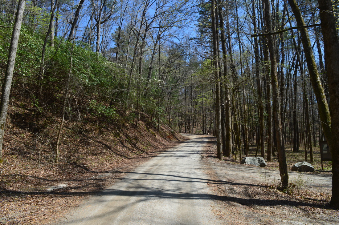
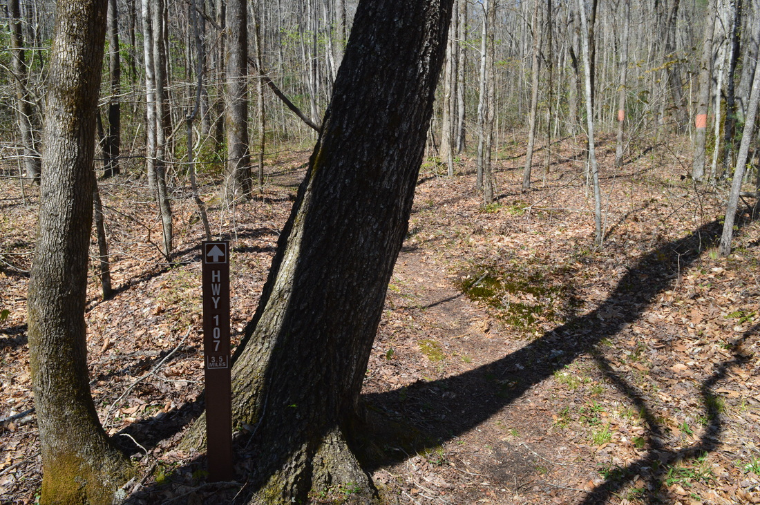
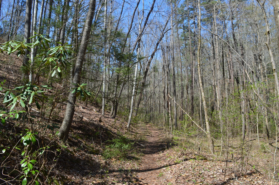
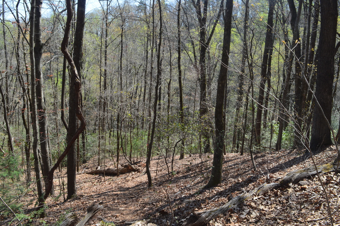
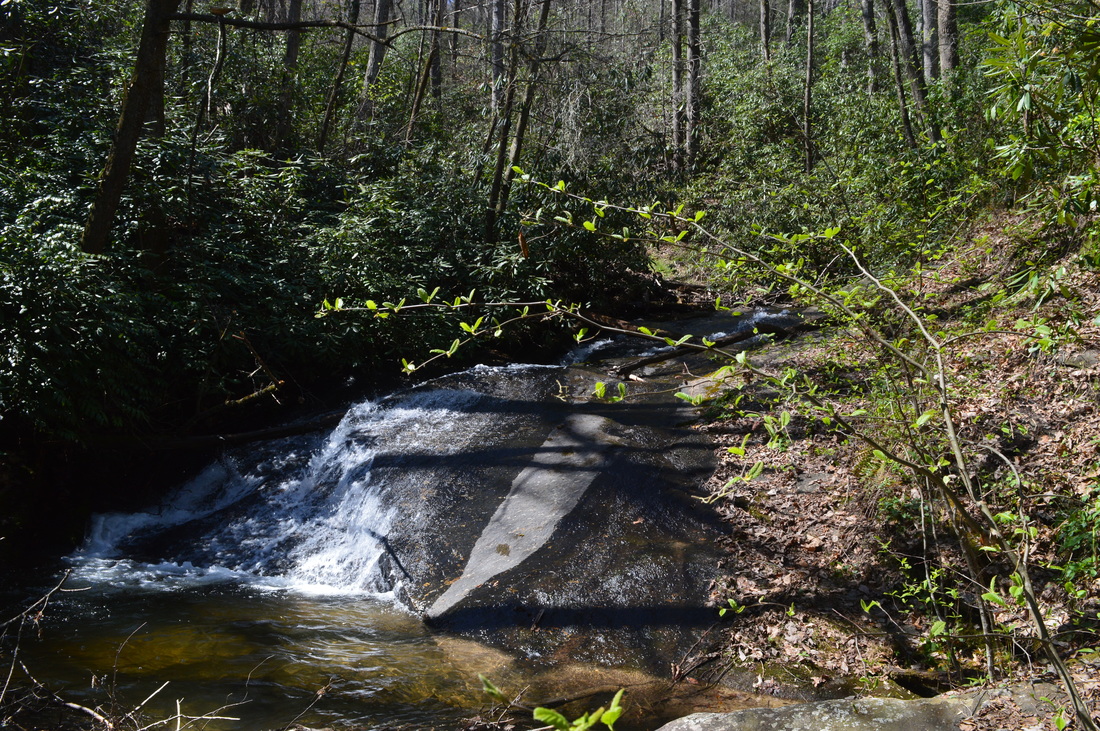
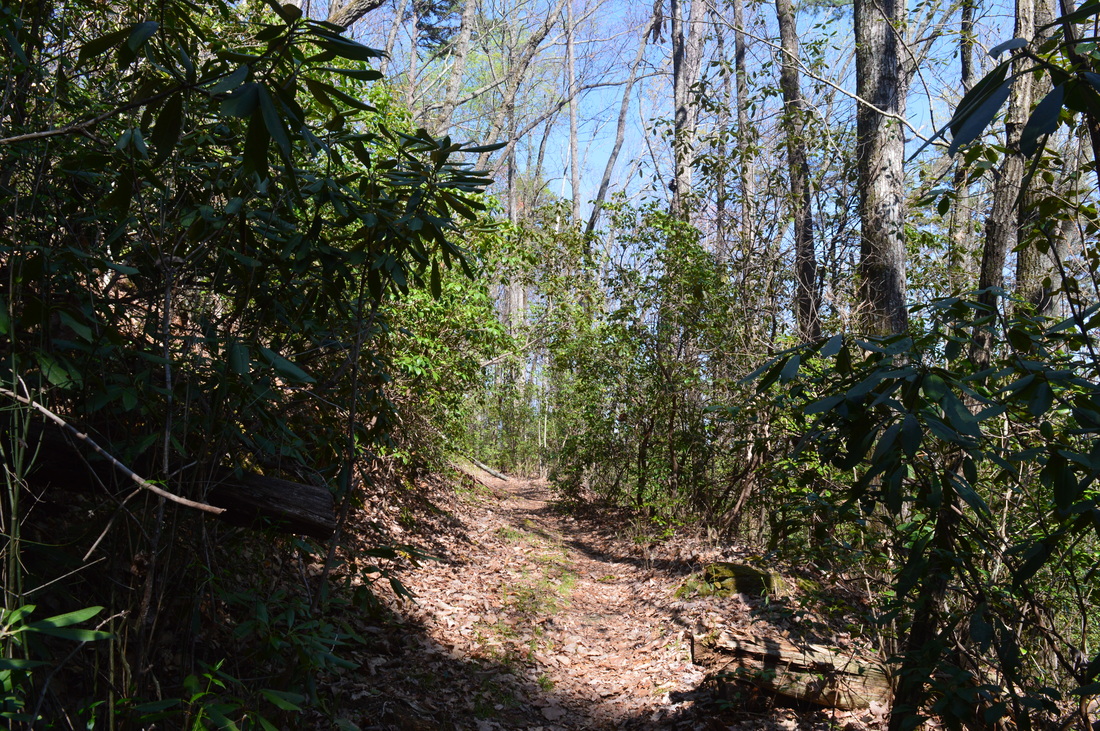
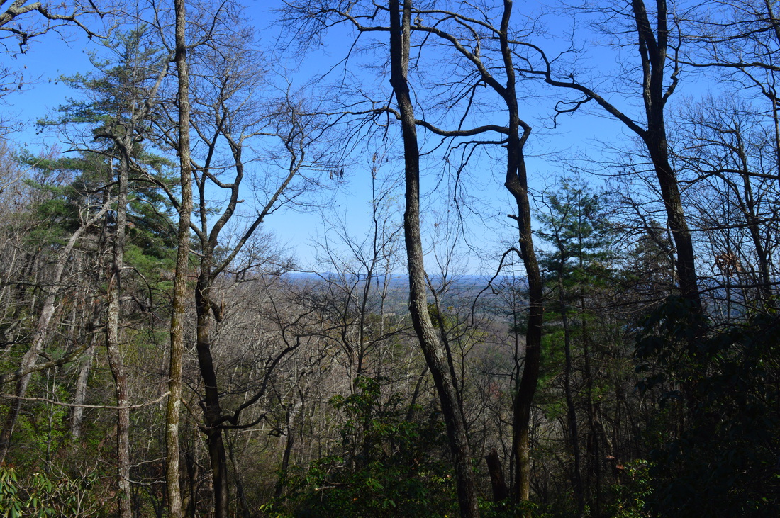
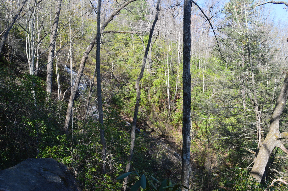
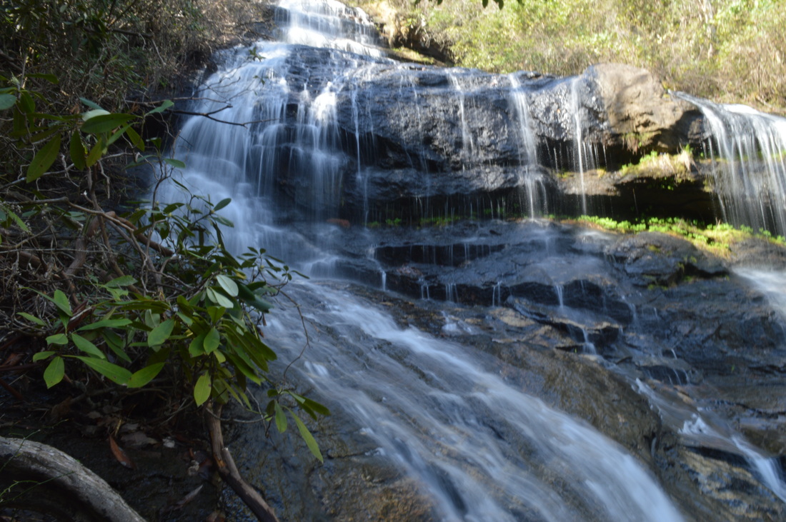
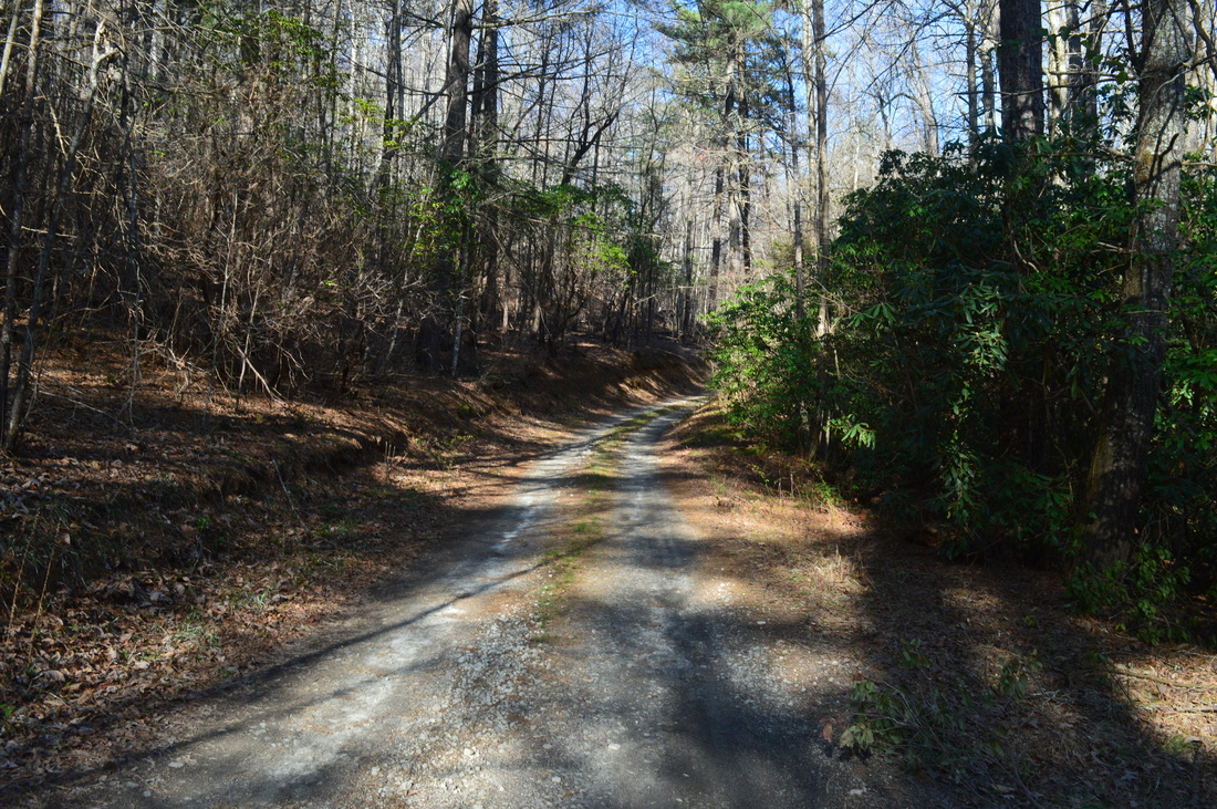
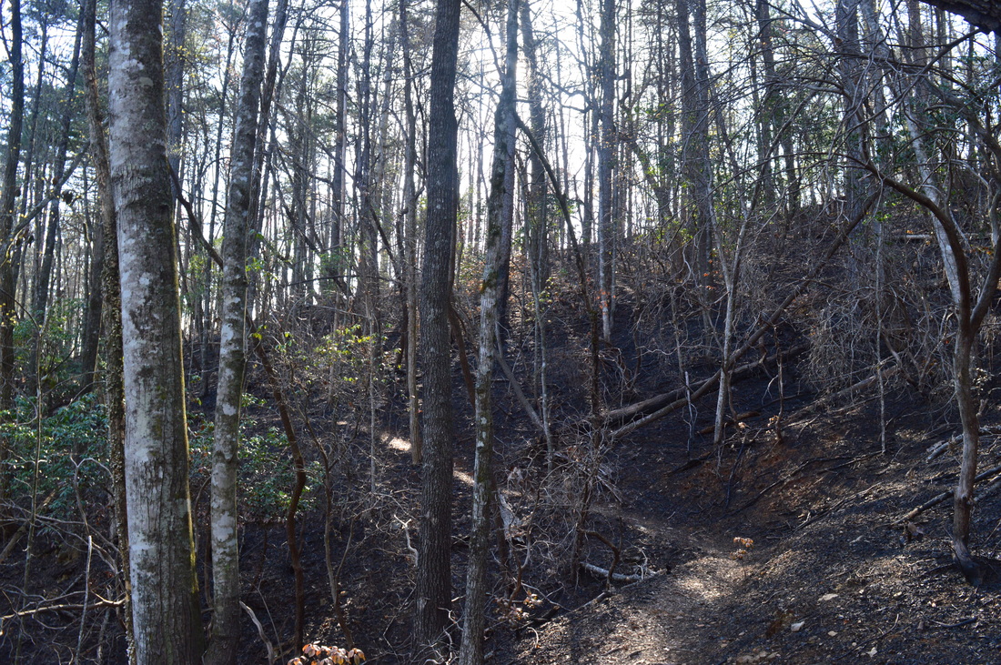
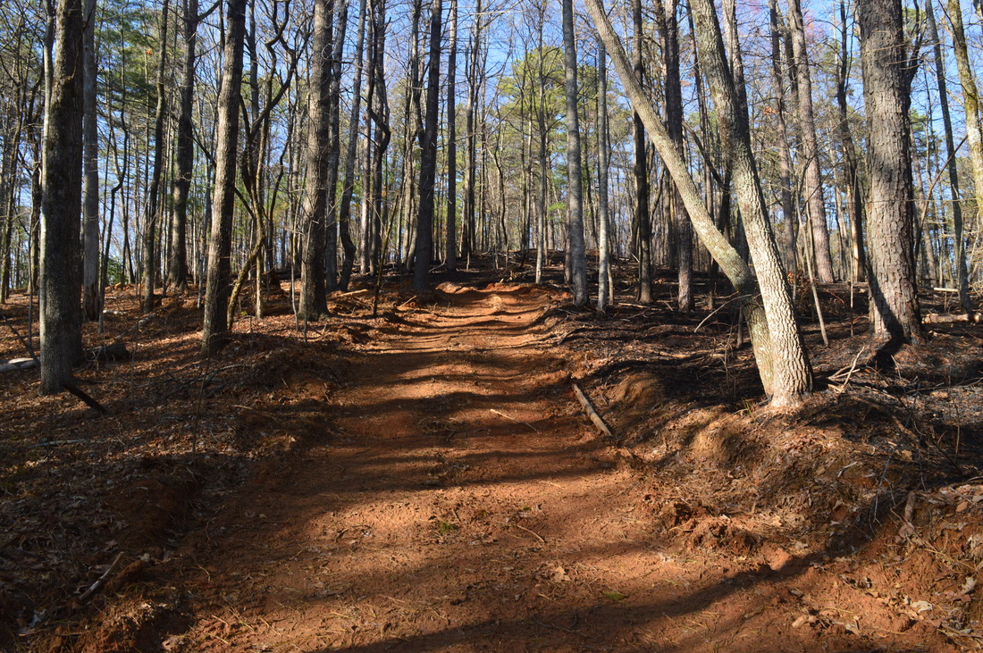
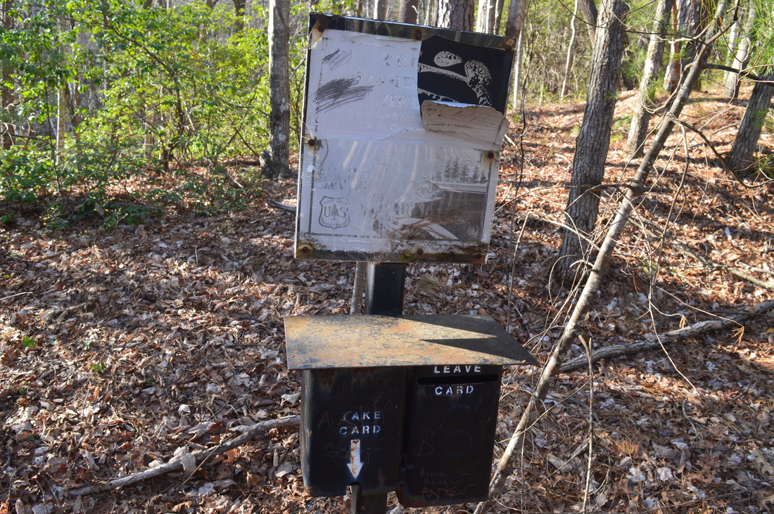
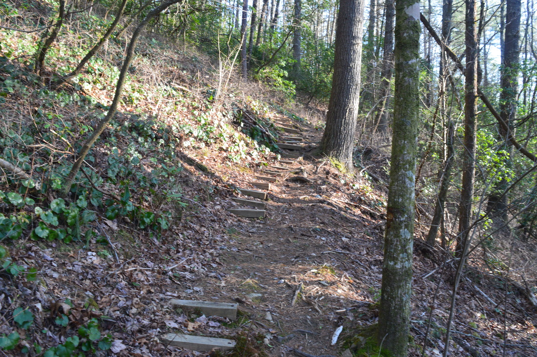
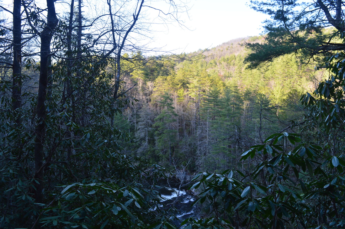
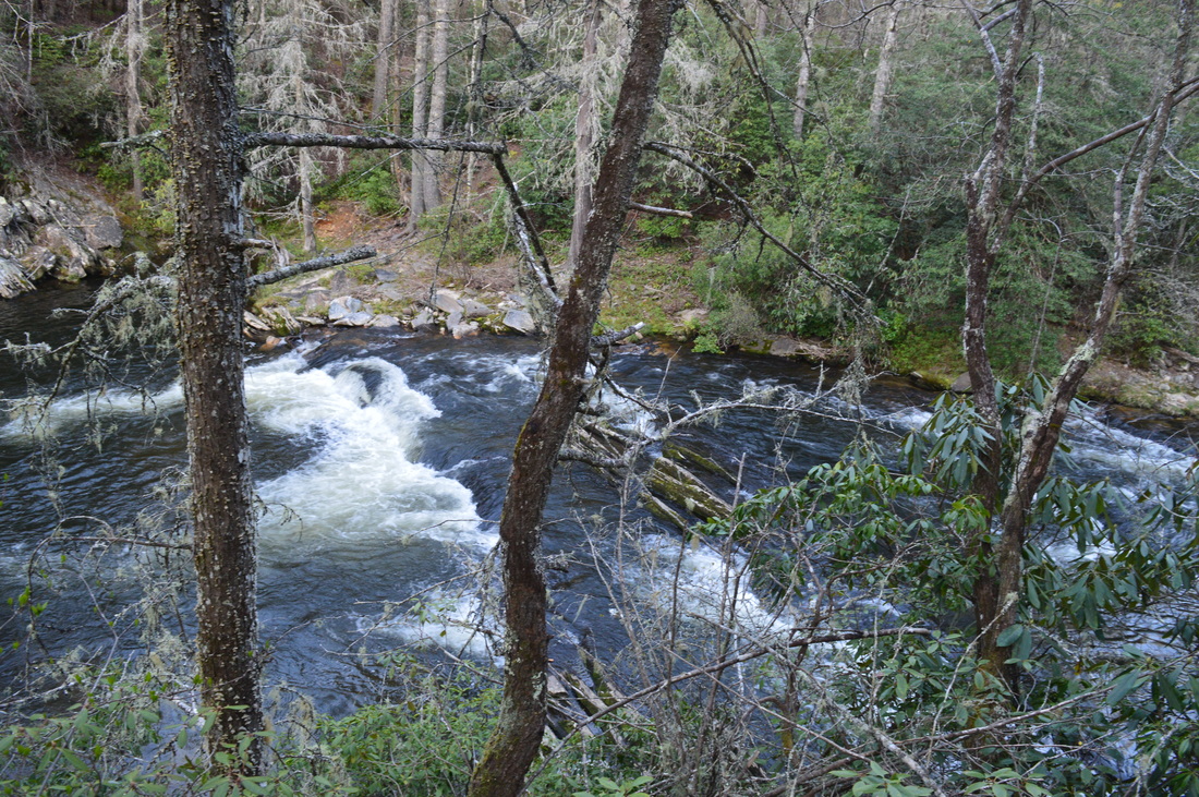
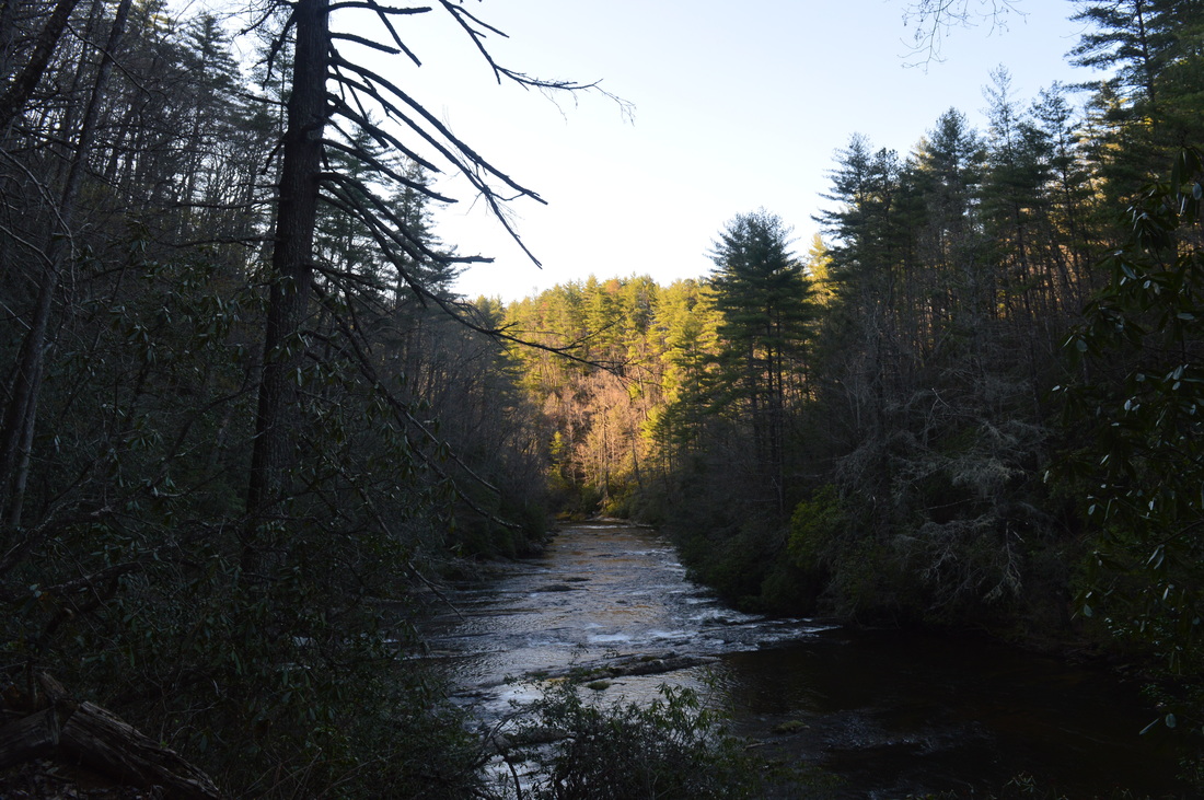
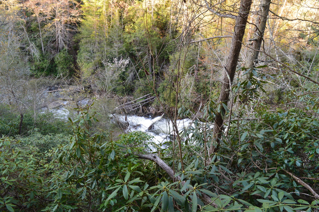
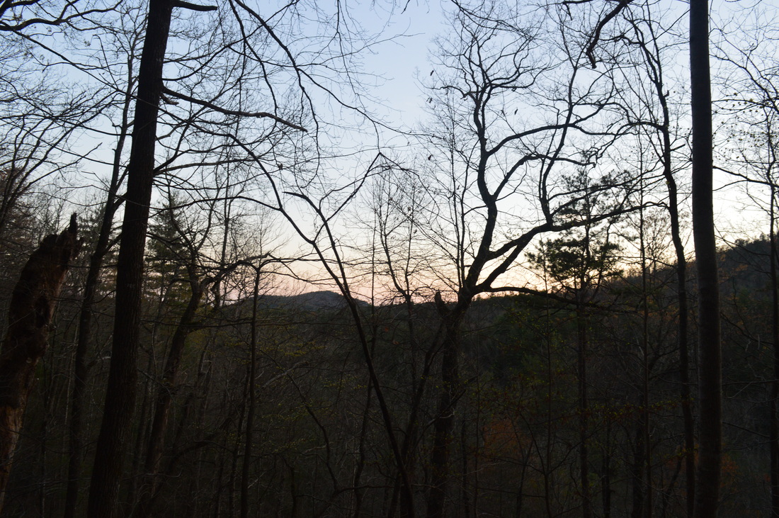
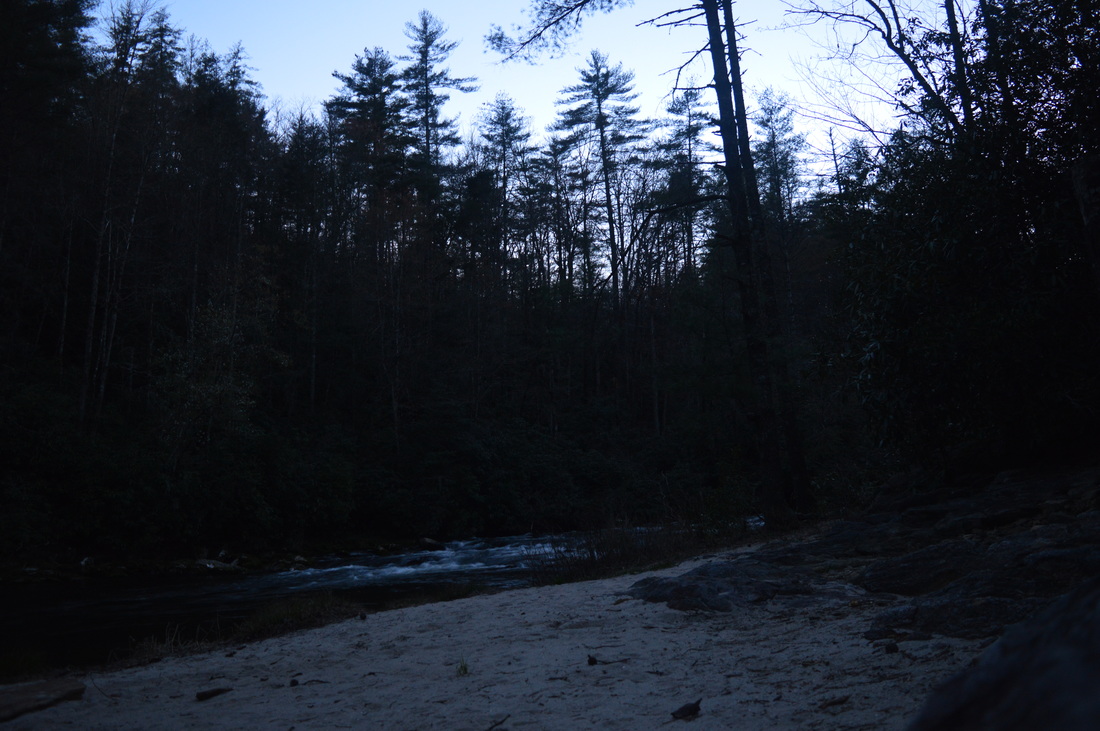
With all of this said, I'll let you decide which way you want to do this hike. For now, I'll proceed to describing this hike as I did it. The trailhead is located at the small stream of West Fork Townes Creek. It appears that this stream is mislabeled on some maps as West Fork Crane Creek. There is no such thing as West Fork Crane Creek, but there is a Crane Creek. When you'll be hiking the Winding Stairs Trail, the creek to the south will be Crane Creek, while the creek to the north will be West Fork Townes Creek. The trail starts off behind a vehicle-blocking mound, and it is marked by a simple trail wand that states: HWY 107 3.5 Miles. There are no signs to inform you that you're on the Winding Stairs Trail util you reach the upper trailhead, but be assured it's the right trail - the only other hiking trailhead on Cheohee Road is much farther, near the top of the ridge and near the end of the road at HWY 107. The trail starts off slat and easy. West Fork Townes Creek can be occasionally heard to the right, although the trail loses little time to leave it. Shortly after the start of the trail, cross over a small creek and begin a gradual ascent to Chattooga Ridge. Over the course of the Winding Stairs Trail, you'll climb 1000 feet in 3.5 miles (not including any spur trails), but the climbing is very gently and easy, along the grades of an old road and aided by ample switchbacks. After crossing another small stream in a hollow, the trail will switchback two times up from the valley, and then a third time at 0.7 miles. From here, count two additional switchbacks - the second switchback, at 1.1 miles, has the spur trail to Secret Falls. This steep side trail is well-marked by flagging tape. Descend cautiously down into the Crane Creek valley. Near the end of the descent, watch out for a partial winter view of the full Secret Falls. It's actually an impressive, tall waterfall, although there's no clear way to get to the scenic upper portion. It seems like your best bet would be a somewhat complicated bushwhack along Crane Creek to the base of the upper part of Secret Falls. There's even more waterfalls above the visible portion of the falls, but I have no clue how to get there. Meanwhile, the official side trail ends at a set of cascades and a waterslide on Crane Creek, which is still worth the additional distance. The climb back up is a steep one, but it will be over before you know it. Following the Secret Falls side trail, continue following the easy trail along the roadbed back towards the other stream valley, which is home to West Fork Crane Creek. At the next switchback after the switchback that had the Secret Falls side trail, watch for a side trail that leaves for the lower falls, more of a waterslide, on West Fork Townes Creek. This side trail is not as obvious as the Secret Falls one, and it is not marked with any flagging tape. The side trail is steep at first, but then moderates before shortly ending at the waterslide. This is a nice spot on the creek, although dense vegetation prevents a good view upstream. It may be possible to wade into the creek here or lower down to get a better view. There is also a winter view into the Cheohee Valley, when looking downstream. Retrace your steps and continue following the Winding Stairs Trail up the mountain. There will be occasional small streams to cross. From the switchback with the side trail to the waterslide on West Fork Townes Creek, there will be 5 more switchbacks. On the 4th one, you will see the side trail for Miuka Falls at 2 miles from the start. This side trail is not marked in any way either, but you can see a part of Miuka Falls from the trail in winter and maybe even in summer, so you will know this side trail leads there. In fact, there are several side trails here. Take the middle one for a side view of Miuka Falls. Then, from the small rock outcrop that has the side view, descend down a short, steep path to a point that is near the base of the main falls. This is one of the more impressive waterfalls on this hike, although it's likely to be merely a trickle in summer or if there has not been rain for a while. Go when they flow! After viewing Miuka Falls, retrace your steps to the main trail and continue following it gradually uphill. Soon, make the last switchback on this trail. There appeared to be a side trail here too. Judging by the map, it was hard for me to tell where it could lead, so I decided to skip it. There is some possibility that it eventually leads to a waterfall on Crane Creek, although that would be pretty far away (around a half-mile). There could be some sort of vista there. After the switchback, as you continue your ascent, watch for more winter views of Cheohee Valley. At 3.2 miles, the trail approaches West Fork Townes Creek again. It shortly curves left and follows it upstream through mainly flat ground. At 3.4 miles, reach a trail junction. a Spur trail, marked as Cherry Hill, continues straight. This spur trail leads to the Cherry Hill Campground, and is only 0.1 miles long. Meanwhile, I continued on the main trail, which turned left towards HWY 107. There was a trail wand that pointed in the direction we came from, and said Tammassee Road 3.4 miles. I found this odd, as I couldn't find any maps which marked the trailhead road as Tammassee Road. In any case, once you've turned left, the trail makes one final, short ascent to the high point of the trail on Chattooga Ridge. This short section, along with the descent on the opposite side of the ridge, still had easy grades, but possibly the steepest throughout the entire trail, being easy to moderate. Following the ridge, which had no clear views, the trail briefly descended down to the upper Winding Stairs Trailhead on SC HWY 107, reaching it at 3.5 miles. This would be a good turnaround point for day hikers. Cross the paved roadway and continue onto the Big Bend Trail on the other side of the road. The Big Bend Trail is well-marked with several signs, including mileage to the Chattooga River. The Big Bend Trail starts with a gentle descent. Shortly, watch for Big Bend Road to the right. This is a dead-end road that gives access to several fisherman trails to the river, as well as the Big Bend Trail. At some point, I saw a large hole to the right, caused by erosion. It reminded me of some of the eroded gullies in Mistletoe State Park. There will be one point where Big Bend Road goes right by the trail. Perhaps this acts as a trailhead too? After the first half-mile of the trail, you will cross a footbridge over Crane Creek. You may remember this name from earlier. This is the same creek as the one that Secret Falls is on, although it's quite small by now. After the footbridge, the trail turns right, gaining some elevation. The next section of trail undulates across the slopes of Chattooga Ridge. There are some ups and downs, but it was hard to sayy where the trail was headed. I could see the approximate location of the Chattooga River Valley, but it seemed very far away. Some higher peaks were visible on the Georgia side of the valley. The river was actually much closer than it seemed from here. The first of several old roads was crossed at 5.1 miles from the start of the hike. This one actually resembled an old road most. I'm not sure if it's gated (I would assume it is), but if it's not, then a Jeep may be able to drive to at least this point. That likely won't work further down, though, as to my knowledge, the road eventually steeply descends to the Chattooga River and ends in its vicinity. Following this road crossing, some more hiking along the slopes brought me to another old road at 5.6 miles in a gap. This old road resembled more an overgrown trail. On the right, a fisherman survey box can be seen. I'm not sure if it's still used, but it looked like a form to fill out before fishing in the area. Following this, the trail started to descend slightly more noticeably. It crossed one last old road at 5.9 miles. This was a wide but very steep one, and still resembled more of a trail. Enter the Chattooga National Wild and Scenic River Corridor here, marked by blue blazes. Following this old road, the trail steeply descends down several staircases before reaching a small, rhododendron-choked stream. It crosses it two times, first by a simple rock hop and then by a small footbridge. Then, the trail traces the stream downstream to the Big Bend Trail's terminus at the Foothills Trail/Chattooga River Trail at 6.2 miles. This is actually a major trail intersection. The Foothills Trail and Chattooga River Trail are both well-known, long trails in upstate South Carolina (the latter starting in eastern Georgia). Turning right over the footbridge at this intersection would take you to Burrells Ford Road in 2.8 miles. From there, the Foothills Trail and Chattooga River Trail would split up, with the Foothills Trail headed for Sloan Bridge and the Whitewater River, while the Chattooga River Trail would continue following its namesake river to Ellicott Rock. Along the way, you would pass Kings Creek Falls, and after the road, you will have the option of doing a short hike to Spoonauger Falls. I didn't hike in that direction, although it's possible that you could hike there instead. I decided to leave that area for a separate hike. Instead, I took the trail straight, which is the opposite direction of the two combined trails. This direction would take me southward along the Chattooga, and eventually into the Licklog Creek Valley. As soon as I set foot onto this trail, the maintenance became exceptional. Until now, it was fine to good, but here, it was one of the best maintained trails I've recently hiked (and no, that doesn't include the Big Bend Falls spur trail). There were steps everywhere, and erosion control was at its best. After all, what is the Foothills Trail best known for? Steps, steps, and steps. Even though there's not a lot of them in this section, it still counts - one section without steps wouldn't fit the theme of the trail! I proceeded on he easy footpath besides some rock cliffs. Soon, the gorge opened up and some views of the Chattooga River and its rapids appeared. The river was still pretty far below, but this soon changed as the trail approached river level. Where the trail is closest to the river, a short side trail leads to a small sandy beach and a great view of some cascades in the Chattooga. From here, the trail gained some elevation. After two switchbacks, you may notice a large froth of whitewater in the river far below. This is Big Bend Falls. A side trail leaves for the falls here, but it will be unlike any of the trails you've hiked so far, and worse than any of the waterfall side trails on Winding Stairs Trail. Be prepared to get muddy. The side trail drops down the extra-steep slope of the gorge, with trees and roots acting as handholds. After a few minutes of the tumble, there is a fork. One path continues steeply descending to the left, while another less obvious path continues to the right. I wasn't exactly sure what to do at this point, but I decided to take the path to the right, as it headed in the direction of the roar of the falls. hat trail shortly ended at a large rock outcrop. Here, I had to use both of my hands to hold to trees while swinging over onto the rock outcrop from the trail. One mistep here could be fatal. However, this still wasn't the view I had seen in pictures. After taking some pictures and a video, I decided to analyze if there were any other routes down. I concluded that the other side path would be of no help, but I couldn't find anything here either. Perhaps an experienced rock scrambler could try to make his way down some of those cliffs to the base of the falls, but it seemed way too risky to try. I ended up losing a lot of time, and for that reason, only got to Pigpen Falls and Licklog Falls by dark. Oh well. Regardless, I think the viewpoint I was at is the best one for Big Bend Falls, except for very experienced people, who could attempt some other routes. Somewhat dissapointed, I headed back up to the main trail. Big Bend Falls is still a very powerful waterfall, especially after heavy rain, but the main reason why I didn't give it a higher rating was the lack of a good viewpoint. Once you've viewed the falls, return to the main trail and continue following it. The trail will rise well above the river - in fact so far that the sound of the river becomes a distant dull noise. The trail will contour along the slopes of Round Top, with some winter views down the gorge. the trail eventually returns to the river around 8.5 miles. There are great views of some of its rapids here. You'll pass a scenic spot with a sandy beach on the right, and then a series of campsites as the trail stays just above the river in a particularly narrow section of the gorge. After the campsites, you'll leave the river for another long period of time, at around 10.5 miles. The trail steadily rises to the rim of the gorge, and then follows a ridge with good winter views. The trail makes one final return to the river at around 12.5 miles, and also reaches an important trail junction. Here, the Foothills Trail and the Chattooga River Trail separate. The Chattooga River Trail continues straight in the direction of Highway 28 and on its way to the junction with the Bartram Trail. Meanwhile, the Foothills Trail turned left on its way to Highway 107 and Oconee State Park. My plan was to continue following the Foothills Trail, so I turned left. Right away, reach another junction. A short side trail goes right towards Licklog Falls. I didn't bother with it, as it was dark already. I'll check it out some other time. The Foothills Trail then gradually ascends to cross Licklog Creek on a footbridge. Following a camping area is another footbridge. Pigpen Falls is somewhere here but I couldn't tell where it was in the dark. Continue a gradual ascent out of the valley to reach the Nicholson Ford Trailhead at 13.2 miles. This is another popular jumping-off spot for Chattooga River hikers. Pick up the trail to the left of the parking lot. The trail stays flat as it follows a hillside, and then rounds a small stream valley. After the stream valley, pass a side trail to the Thrift Lake Trailhead at 14 miles. The trail then makes a gradual ascent, sometimes aided by steps, to reach HWY 107 and Cheohee Road at 15 miles. This is where you will end your hike if you have a second car. Otherwise, continue across the large roadway onto the gravel Cheohee Road, and follow the gravel road mostly downhill for 3.5 miles, to reach the original parking area at 18.5 miles. Along the way, there are many good winter views. To summarize, this is a great hike to acquaintance you with the Chattooga River area. Even if you can't do the whole thing, you have plenty of options to split it up into several different hikes. Below are my pictures and videos.
2 Comments
Nuggetlegs
7/3/2017 10:21:59 am
The best view of Big Bend requires wading across the river. If you go downstream a bit and bushwhack down to the run-out there is a very nice camping spot with a fire ring and stairs that go to the river. Once you get there you can wade up and check out the falls. 8/4/2022 06:29:29 am
Edirne baymak servisi en uygun fiyat ve en hızlı servis garantisi ile sizlerle. https://www.edirneklimaservisi.com/edirne-baymak-servisi/ Leave a Reply. |
About MeMark Oleg Ozboyd Dear readers: I have invested a tremendous amount of time and effort in this website and the Georgia Waterfalls Database the past five years. All of the work that has gone in keeping these websites updated with my latest trip reports has almost been like a full-time job. This has not allowed me to pick up a paid job to save up money for college, and therefore, I I've had to take out loans. If you find the information on this website interesting, helpful, or time-saving, you can say "thanks" and help me out by clicking the button above and making a contribution. I will be very grateful for any amount of support you give, as all of it will apply toward my college tuition. Thank you!

Coming in 2022-2023?
Other Hiking WebsitesMiles HikedYear 1: 540.0 Miles
Year 2: 552.3 Miles Year 3: 518.4 Miles Year 4: 482.4 Miles Year 5: 259.9 Miles Archives
March 2021
Categories
All
|


 RSS Feed