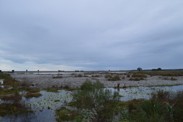
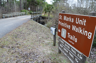
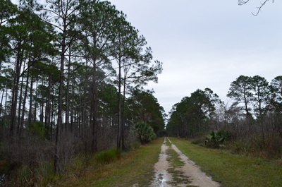
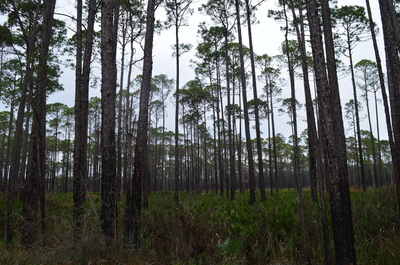
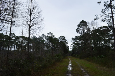
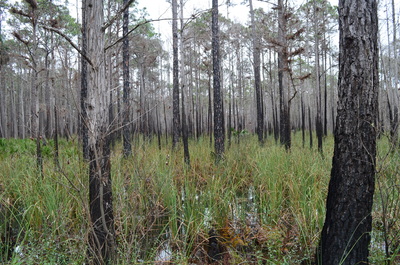
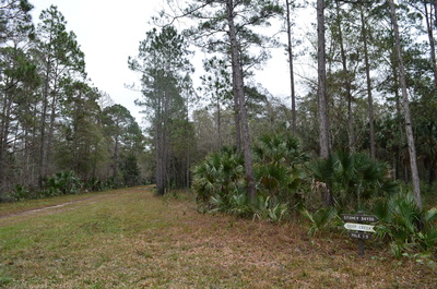
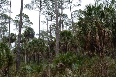
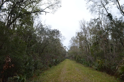
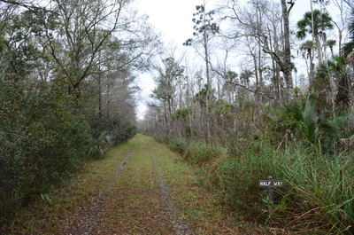
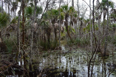
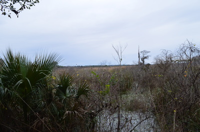
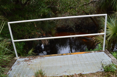
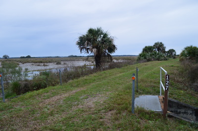
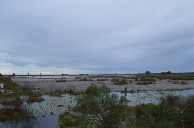
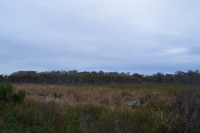
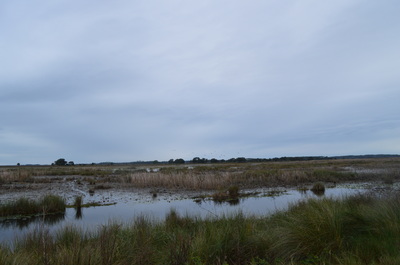
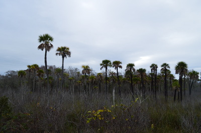
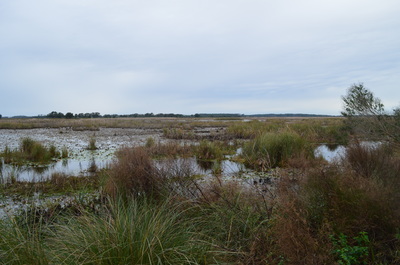
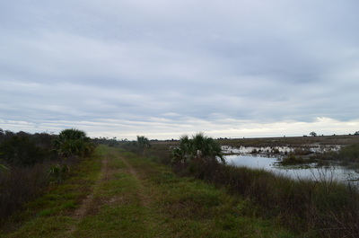
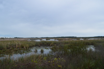
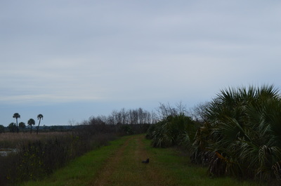
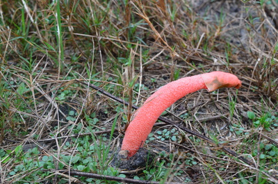
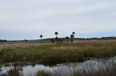
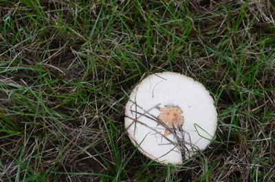
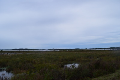
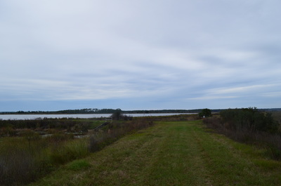
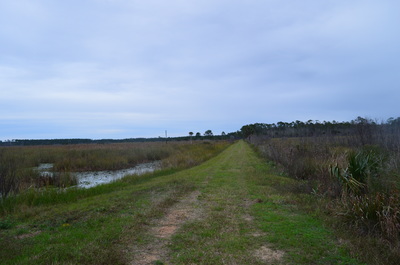
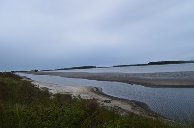
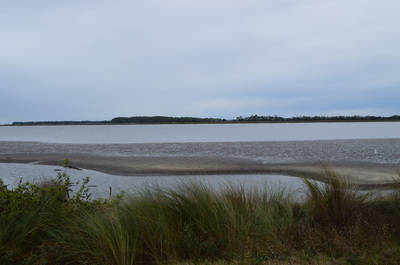
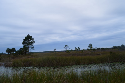
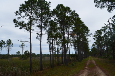
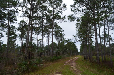
 One of two primitive trails at St. Marks National Wildlife Refuge, the Stoney Bayou Loop follows several old forest roads through several different ecosystems, including pine flatwoods, a cypress swamp, and an open marsh. On this hike, you will get the chance to see an alligator or two, and you will be presented with good birding opportunities near the open marshes. To top of this excellent hike, you will have a vista of Stoney Bayou Loop #1, a large lake that touches the trail. This hike occurred on Friday, January 1st, 2016. My plan was to hike five nature trails at St. Marks National Wildlife Refuge on this day, as well as one of the primitive trails. This was my final stop of the day, and I was going to hike the Stoney Bayou Loop, a primitive trail, clockwise. SummaryR/T Length of Trail: 7.1 Miles Duration of Hike: 2:40 Type of Hike: Loop Difficulty Rating: 2 out of 10 Elevation Gain: Minimal Pros: Amazing wildlife viewing opportunities; hike guaranteed to be dry even in the wettest of times Cons: None Points of Interest: Stoney Bayou Pool #1; Stoney Bayou Pool #2 Trail Blaze Color(s): None - however, the Stoney Bayou Primitive Loop Trail is marked by signs colored dark gray, while the Deep Creek Primitive Loop Trail, a longer version of this hike, is marked by signs colored white. Best Season(s) to Hike: Spring; Fall; Winter Fees: As of 1/1/16, the fees for entry to the St. Marks Unit of the St. Marks NWR are $5 per car or motorcycle, and $1 per bicycle or pedestrian. There is also an annual pass that costs $25. Please note that entry to all other units of the St. Marks Unit (Panacea, Wakulla, and Aucilla Units) is free. Beginning Point: Primitive Trails Trailhead Directions: From Newport, FL: Take Lighthouse Road (County Road 59) southward from US Route 98 just east of the bridge over the St. Marks River. Please note that Lighthouse Road is a dead-end road that only serves the St. Marks Unit of St. Marks NWR. 3.3 miles from US 98, you will reach a fee booth upon entry into the St. Marks NWR. If there is no attendant here, continue straight. In another 0.3 miles, reach a fee station to the right of the road. Pay here. From the fee station, continue for another mile. The Primitive Trails Trailhead will be marked by a sign to your left . Park in the small pullout, but do not block the gate. MapA map and some other information regarding this hike can be viewed here. DetailsThis is one of those hikes that is very straightforward and does not need any detailed descriptions. This has its advantages. It's unlikely that you will get lost. The trail follows dikes and old forest roads the entire time. This means that you're guaranteed to stay dry, and that is an enormous hiking advantage in Florida. Additionally, this trail is an excellent wildlife viewing destination. You're unlikely to meet any other people on this trail. This presents you with above normal chances to see animals such as minks and otters, and many different wading birds in the ponds. You may even see an alligator or two lurking in the wetlands. Both the Deep Creek Primitive Trail and the Stoney Bayou Primitive Trail start at the same trailhead, although this is not the only way you can connect to these trails. The two trails follow an arrow-straight forest road on a dike. The forest here is mostly pine flatwoods. At 0.2 miles, pass a park storage building to the left. The forest road that you are following is known as Forest Road 105. At 0.5 miles, reach the start of the loop. Here both trails, continue straight and turn right. You will return from the right - continue straight. Over the next mile, you will pass a succession of numbered forest roads to your left and right. The ecosystem gradually turns to a wetter one as the trail enters a cypress swamp. You will continue to stay dry by following the dike. At 2 miles, reach the split-up of the two trails. Here, the hike detailed in this post, the Stoney Bayou Trail, turns right. The Deep Creek Trail, a longer version of this loop, continues straight. If I return to this area, I plan on doing the Deep Creek Trail too, after how much I enjoyed this hike. To do the shorter loop, continue to follow the Stoney Bayou Loop. You're now on Forest Road 114, headed into the heart of the swamp. Trail will gradually curve left after the acute right turn. After that, the dike continues through the swamp more or less straight. This is a pretty remote swamp, and if not the wide road/dike, it would feel like wilderness. It is a possibility to see an alligator here, and I believe I saw what were traces of one. The pine flatwoods disappear completely as you pass through the heart of the swamp. At 3.9 miles, reach an intersection with another dike. You have reached Stoney Bayou Pool #2, which lies straight ahead. The pool is more of a marsh than a lake. Turn right onto the forest road, numbered 127, to continue the Stoney Bayou Loop. if you choose to not turn right, you will reconnect shortly to the Deep Creek Loop.Otherwise, after the right turn, you will be following the north shore of Stoney Bayou Pool #2 on a dike. This section of the hike is by far my favorite. Birding is superb with many birds scattered throughout the wetlands, and you may see other animals such as minks and otters, as well as alligators. In fact, I sighted my first mink ever not far down the trail here. He was shuffling through the grass of the dike, running straight toward me, before suddenly changing direction and heading off to the wetland areas near the trail. He was patient enough to let me get a picture. A little bit farther down the trail, I saw a bizarre mushroom. I later found out that this was a stinkhorn mushroom, and this was the first time I had seen one. It will seem like the trail is leaving the pool, but it' just that the pool is barely recognizable as sch. The dike continues to stay parallel to the marsh that is called the pool. The superb birding and wildlife viewing opportunities continue until 5.3 miles. You have reached an important point. The Deep Creek Loop reconnects with the Stoney Bayou Loop here. Both trails turn right, and the Deep Creek Loop eastbound turns left. Also, the Florida Trail passes through this intersection, coming in from the left and continuing straight on the dike. Before you continue on the Stoney Bayou Loop, take the time to walk left a few dozen feet to Stoney Bayou Pool #1. This pool is much more of a lake than the first one. It appears to be fairly large as well. To the right, looking down the arrow-straight dike, Lighthouse Road and its slow-moving traffic is visible in the distance. Return to the Stoney Bayou Loop and follow the trail, now along a forest road levee (106), away from the wetlands and back into pine flatwoods. This forest road is arrow-straight as well. At 6.5 miles, pass what is apparently a storage dump to your left. At 6.7 miles, reach the end of the loop. Here, turn left. onto the original forest road, 105, and retrace the final 0.5 miles back to the trailhead for a total hike of 7.1 miles. This hike is the first "Best Hike" that I have done in Florida. The relatively easy access, the diversity of ecosystems, and the excellent wildlife viewing and birding opportunities that are presented on this trail put together a really great hike, arguably the best that I have done to this date in the state of Florida. In fact, this whole locale, St. Marks National Wildlife Refuge, is perhaps my favorite hiking locale in Florida (that I have visited so far). VariationsHike the longer Deep Creek Loop instead - Approximately 12 miles Bonus StopsThere is a number of nature trails, as well as another primitive trail, located on Lighthouse Road. These are all good to add on to the day you hike this trail. PicturesVideos
2 Comments
8/2/2022 05:15:41 pm
Very helpful and informative. Thank for sharing this post.
Reply
8/2/2022 05:23:40 pm
This presents you with above normal chances to see animals such as minks and otters, and many different wading birds in the ponds. You may even see an alligator or two lurking in the wetlands. I’m so thankful for your helpful post!
Reply
Leave a Reply. |
About MeMark Oleg Ozboyd Dear readers: I have invested a tremendous amount of time and effort in this website and the Georgia Waterfalls Database the past five years. All of the work that has gone in keeping these websites updated with my latest trip reports has almost been like a full-time job. This has not allowed me to pick up a paid job to save up money for college, and therefore, I I've had to take out loans. If you find the information on this website interesting, helpful, or time-saving, you can say "thanks" and help me out by clicking the button above and making a contribution. I will be very grateful for any amount of support you give, as all of it will apply toward my college tuition. Thank you!
Coming in 2022-2023?
Other Hiking WebsitesMiles HikedYear 1: 540.0 Miles
Year 2: 552.3 Miles Year 3: 518.4 Miles Year 4: 482.4 Miles Year 5: 259.9 Miles Archives
March 2021
Categories
All
|

 RSS Feed