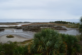
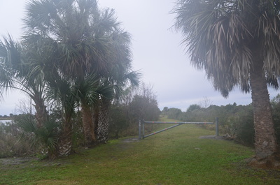
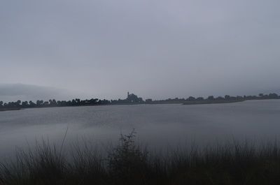
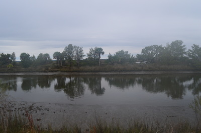
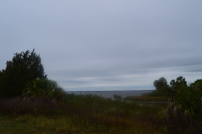
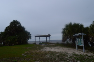
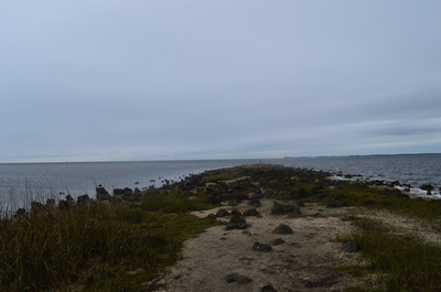
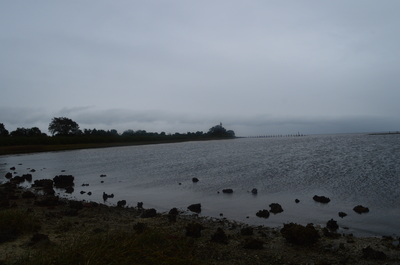
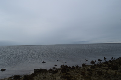
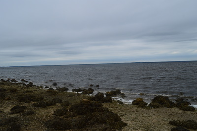
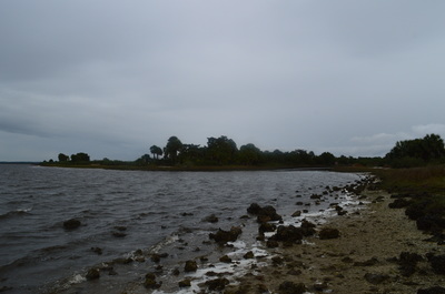
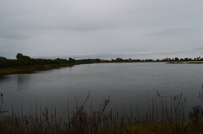
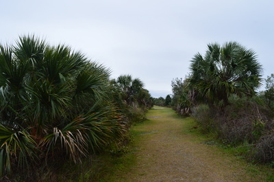
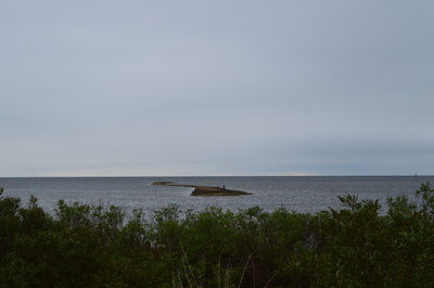
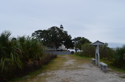
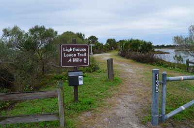
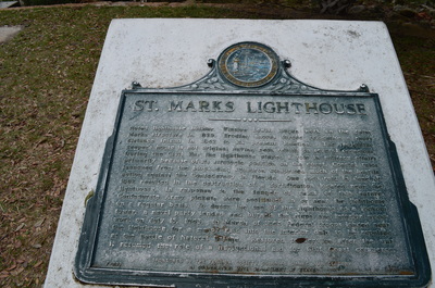
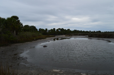
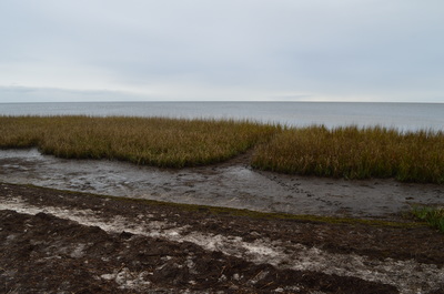
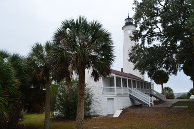
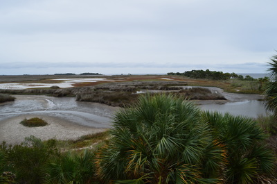
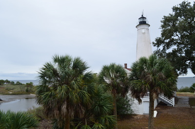
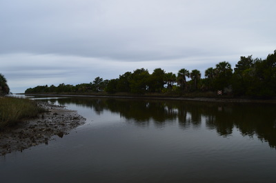
 The St. Marks Lighthouse is the second oldest lighthouse in Florida. The lighthouse marks the mouth of the St. Marks River. The town of St. Marks just to the northwest used to be an important port back in the early 1800s. In 1831, construction of the St. Marks Lighthouse was completed to help guide boats to the port at St. Marks. On the Lighthouse Levee Trail, you will travel along a dike near Lighthouse Pond to a promontory extending out into the Gulf of Mexico, before reaching the historic St. Marks Lighthouse. This hike occurred on Friday, January 1st, 2016. My plan was to hike five nature trails at St. Marks National Wildlife Refuge on this day, as well as one of the primitive trails. I was planning to hike the Lighthouse Levee Nature Trail out and back from the boat ramp parking to the historic lighthouse. SummaryR/T Length of Trail: 1.3 Miles Duration of Hike: 0:40 Type of Hike: Out and Back Difficulty Rating: 1 out of 10 Total Elevation Gain: Minimal Pros: Good views of Gulf of Mexico and Lighthouse Pond; historic lighthouse Cons: None Points of Interest: Promontory extending into the Gulf of Mexico; St. Marks Lighthouse Trail Blaze Color(s): None Best Season(s) to Hike: Year-round Fees: As of 1/1/16, the fees for entry to the St. Marks Unit of the St. Marks NWR are $5 per car or motorcycle, and $1 per bicycle or pedestrian. There is also an annual pass that costs $25. Please note that entry to all other units of the St. Marks Unit (Panacea, Wakulla, and Aucilla Units) is free. Beginning Point: Boat ramp at north end of Lighthouse Levee Trail Directions: From Newport, FL: Take Lighthouse Road (County Road 59) southward from US Route 98 just east of the bridge over the St. Marks River. Please note that Lighthouse Road is a dead-end road that only serves the St. Marks Unit of St. Marks NWR. 3.3 miles from US 98, you will reach a fee booth upon entry into the St. Marks NWR. If there is no attendant here, continue straight. In another 0.3 miles, reach a fee station to the right of the road. Pay here. From the fee station, continue for another 6.3 miles on Lighthouse Road. Then, turn right onto a paved road that shortly reaches a large parking area. This is the boat ramp parking, as well as the parking for Lighthouse Levee Trail. Park here. MapA map and some other information regarding this hike can be viewed here. DetailsThe Lighthouse Levee Nature Trail was the fifth and final nature trail I did in St. Marks National Wildlife Refuge on this day. This trail proved to be as interesting as any, and you'll soon learn why. The Lighthouse Levee Nature Trail started off at the boat ramp parking area. The trail is unmarked from this end. However, there is a sign with the numbers "135" at a gate blocking road traffic from the dike. Continue past the gate and onto the dike. The boat channel is to your right, and Lighthouse Pond is to your left. The route of Lighthouse Levee can be traced all the way to the lighthouse. At 0.2 miles, reach a shelter and a kiosk. Here, the Lighthouse Levee Trail turns left to continue along Lighthouse Pond. However, before you make the turn, take the time to continue straight onto a rocky promontory that extends into the Gulf of Mexico (although there are signs of this narrow strip of land being underwater). Walk down the promontory - there is a grand view here into the ocean. Cedar Point is visible to your right. Cedar Point is accessed via Cedar Point Nature Trail. Once you have seen the view from the promontory, return to the main trail, and continue along it on the west side of Lighthouse Pond. The views are quite good from this dike, with the pond to your left, the ocean to your right, and the lighthouse straight ahead. At 0.65 miles, reach the end of the grassy track at the St. Marks Lighthouse and the southern terminus of Lighthouse Road. This is an alternative trailhead for the trail. There are some informational signs here regarding the St. Marks Lighthouse. The lighthouse has been standing here since the mid-1800s. This lighthouse is the second oldest lighthouse in Florida, once playing a key role in guiding boats to the thriving port at the town of St. Marks near the confluence of the Wakulla and St. Marks Rivers not far upstream from the mouth of the St. Marks River. Take a walk around the lighthouse. As you reach the back of the lighthouse, note an unmarked path heading into the coastal growth. Take this short path past a marshy pond and to narrow strip of beach at the ocean. Depending on the tide, one can follow the beach eastward to Sand Cove. Return to the St. Marks Lighthouse, and before starting on the route back to the trailhead, stop at a small observation area of the salt marsh near the lighthouse. After this, return to the Lighthouse Levee Trail, and follow it back to the boat ramp parking. For a bonus, walk out onto the dock near the boat ramp for a good view down the boat channel. The hike is concluded at 1.3 miles. VariationsNone Bonus StopsThere is a number of other nature trails, as well as two primitive trails, located on Lighthouse Road. These are all good to add on to the day you hike this trail. PicturesVideos
1 Comment
|
About MeMark Oleg Ozboyd Dear readers: I have invested a tremendous amount of time and effort in this website and the Georgia Waterfalls Database the past five years. All of the work that has gone in keeping these websites updated with my latest trip reports has almost been like a full-time job. This has not allowed me to pick up a paid job to save up money for college, and therefore, I I've had to take out loans. If you find the information on this website interesting, helpful, or time-saving, you can say "thanks" and help me out by clicking the button above and making a contribution. I will be very grateful for any amount of support you give, as all of it will apply toward my college tuition. Thank you!
Coming in 2022-2023?
Other Hiking WebsitesMiles HikedYear 1: 540.0 Miles
Year 2: 552.3 Miles Year 3: 518.4 Miles Year 4: 482.4 Miles Year 5: 259.9 Miles Archives
March 2021
Categories
All
|

 RSS Feed