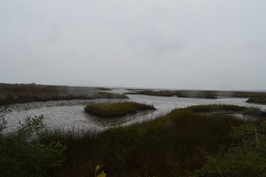
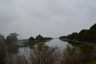
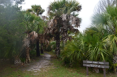
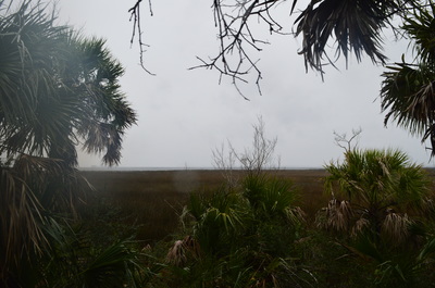
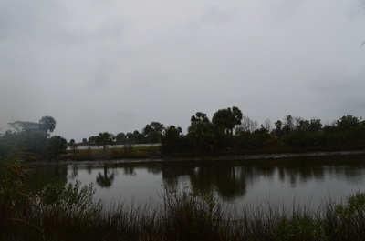
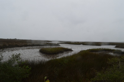
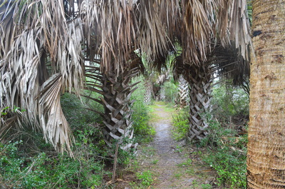
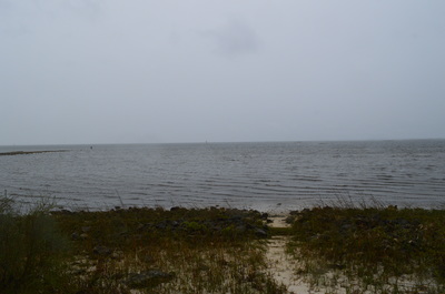
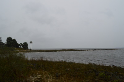
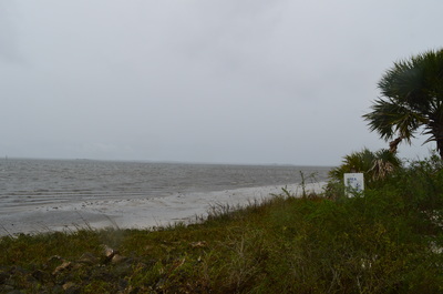
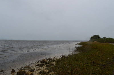
 A relatively new nature trail at St. Marks National Wildlife Refuge, the Cedar Point Trail follows a dike between a salt marsh and a dredged boating channel to a wild location where the waves of the Gulf of Mexico hit a pristine shoreline. This hike occurred on Friday, January 1st, 2016. My plan was to hike five nature trails at St. Marks National Wildlife Refuge on this day, as well as one of the primitive trails. This trail was my third stop of the day. Each trail just kept getting better - there are beautiful views to be seen from the Cedar Point Trail, despite its short length. My plan was to hike the trail out and back. SummaryR/T Length of Trail: 0.7 Miles Duration of Hike: 0:20 Type of Hike: Out and Back Difficulty Rating: 1 out of 10 Total Elevation Gain: Minimal Pros: Excellent views Cons: None Points of Interest: Cedar Point Trail Blaze Color(s): None Best Season(s) to Hike: Year-round Fees: As of 1/1/16, the fees for entry to the St. Marks Unit of the St. Marks NWR are $5 per car or motorcycle, and $1 per bicycle or pedestrian. There is also an annual pass that costs $25. Please note that entry to all other units of the St. Marks Unit (Panacea, Wakulla, and Aucilla Units) is free. Beginning Point: Cedar Point Trailhead Directions: From Newport, FL: Take Lighthouse Road (County Road 59) southward from US Route 98 just east of the bridge over the St. Marks River. Please note that Lighthouse Road is a dead-end road that only serves the St. Marks Unit of St. Marks NWR. 3.3 miles from US 98, you will reach a fee booth upon entry into the St. Marks NWR. If there is no attendant here, continue straight. In another 0.3 miles, reach a fee station to the right of the road. Pay here. From the fee station, continue for another 6.3 miles on Lighthouse Road. Then, turn right onto a paved road that shortly reaches a large parking area. This is the boat ramp parking, as well as the parking for Lighthouse Levee Trail, described separately. Keep right here, curve around the beginning of the dredged boat channel, and park at the parking area on the opposite side of the channel from the boat ramp parking. The Cedar Point Trail starts here. MapA map and some other information regarding this hike can be viewed here. DetailsAs I stepped out of the car for this next stop, the conditions had not gotten any better. If anything, the wind only became stronger as I neared the Gulf of Mexico, and the cold raindrops were still falling without any sign of clearing. Unfortunately, I still got some photos with raindrops here. At least by the time I got to my next stop, the rain was finally over. The Cedar Point Trail is marked by a sign. As you start walking down the trail, note that you are following a dike with the boat channel to your left, and in the distance the St. Marks Lighthouse is visible. Soon, you reach several viewpoints to your right. Here, you will see salt marshes extending out to the Gulf of Mexico and the mouth of the St. Marks River. This is a very beautiful view and well worth a brief stop. Continue along the dike with the boat channel constantly in view. At 0.35 miles, reach Cedar Point at the end of the trail. This is the shoreline at the Gulf of Mexico. Great views extend out into the ocean. To the left, you can see the Lighthouse Levee. To the right, a pristine shoreline stretches far. Depending on the tide level, it may be possible to continue along a sort of beach on this shoreline to the mouth of the St. Marks River. From Cedar Point,retrace your steps along this scenic pathway to the trailhead, and get ready for your next stop on this day. VariationsNone Bonus StopsThere is a number of other nature trails, as well as two primitive trails, located on Lighthouse Road. These are all good to add on to the day you hike this trail. Pictures
1 Comment
Bill Solomon
2/23/2016 08:16:04 pm
I hiked and paddled St. Marks about 10 years ago in Feb. I'd read that the birding was awesome. The paddling was nice, too, though it was cold. At least it was sunny the days we were there. We were loading the boats late afternoon, when two big buses pulled up by the lighthouse. Loads of European birders poured out the buses, pulling out cameras with huge zoom lenses. Watching one photographer, we quickly spotted an eagle eating a fish on a dead tree in the pond behind the lighthouse. St. Marks is a very cool and little known area. There is a bike path (old RR bed) from Tallahassee to St. Marks which makes a nice day trip. There is one little cafe in St. Marks which was pretty good and the people really nice. We stayed at Wakulla Springs Lodge, which is where the old 50s film "Creature of the Black Lagoon" was filmed. Unfortunately there is no camping in the Wildlife Refuge. There are RV parks about 30 min. away.
Reply
Leave a Reply. |
About MeMark Oleg Ozboyd Dear readers: I have invested a tremendous amount of time and effort in this website and the Georgia Waterfalls Database the past five years. All of the work that has gone in keeping these websites updated with my latest trip reports has almost been like a full-time job. This has not allowed me to pick up a paid job to save up money for college, and therefore, I I've had to take out loans. If you find the information on this website interesting, helpful, or time-saving, you can say "thanks" and help me out by clicking the button above and making a contribution. I will be very grateful for any amount of support you give, as all of it will apply toward my college tuition. Thank you!
Coming in 2022-2023?
Other Hiking WebsitesMiles HikedYear 1: 540.0 Miles
Year 2: 552.3 Miles Year 3: 518.4 Miles Year 4: 482.4 Miles Year 5: 259.9 Miles Archives
March 2021
Categories
All
|

 RSS Feed