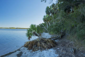
St. Joseph Bay State Buffer Preserve is a 5000-acre preserve near St. Joseph Bay that was created to protect the bay's water quality and conserve the natural shoreline habitats. The main tract of the preserve lies just east of County Road 30A, providing numerous hiking possibilities in the sand dune system there along many forest roads. A separate small tract of the preserve, known as the Deal Tract, is located on St. Joseph Peninsula near Cape San Blas. This preserve is home to two short hiking trails that lead through several island ecosystems and to great views of St. Joseph Bay. This hike occurred on Saturday, August 13th, 2016. My plan was to hike the Old Pine Bay Trail out and back to the main St. Joseph Bay observation area. On my return trip, I would also hike the Hammock Spur Trail out and back. I returned on Saturday, December 30th, 2017, discovering several changes to the trail.
Summary
R/T Length of Trail: 1.4 Miles
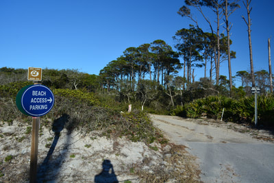
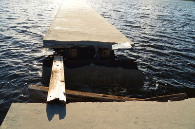
Duration of Hike: 0:35 Type of Hike: Y-Configuration (Out and Back) Difficulty Rating: 1 out of 10 Total Elevation Gain: Minimal Pros: None Cons: Mosquito problem in Richardson Hammock during summer; St. Joseph Bay observation deck seems to be closed to public due to structural issues Points of Interest: Views of St. Joseph Bay at the end of Old Pine Bay Trail and Hammock Spur Trail; Ancient shell midden in Richardson Hammock Trail Blaze Color(s): None Best Season(s) to Hike: Year-round (winter might be chilly due to location) Fees: None Beginning Point: Deal Tract Parking Area Directions from Port St. Joe, FL: From the intersection of US Route 98 and FL State Route 71 in downtown Port St. Joe, follow US 98 South for 2.1 miles. Then, bear right onto County Road 30A, and continue for another 6.7 miles. You will pass the St. Joseph Bay Preserve Center along the way, as well as the Main Gate Trailhead. After driving 6.7 miles along County Road 30A, turn right onto County Road 30E (Cape San Blas Road). Continue for 4.1 miles, until you see the Beach Parking sign to the right. There is also a sign "Welcome to St. Joseph Bay State Buffer Preserve Troy Deal Unit". Turn right onto the entrance road and shortly afterwards reach the parking area and trailhead. MapDetails
The Port St. Joe area of the Panhandle has surprisingly few hiking possibilities, as much of the land is privately owned, and the few hiking trails are overshadowed by the far wider range of recreational opportunities in the Apalachicola National Forest just to the east. The single best-known hiking trail in the Port St. Joe vicinity is the St. Joseph Peninsula Wilderness Trail at St. Joseph Peninsula State Park. I have yet to do this trail. However, far fewer people are aware of an excellent short hiking trail that begins at the back of an inconspicuous parking area near Cape San Blas Road, across from a row of upscale homes along the St. Joseph Peninsula beach. This trail showcases some of the typical ecosystems found near the coastline of Florida.
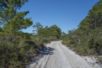
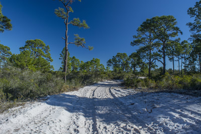
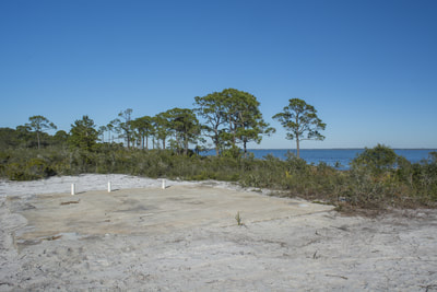
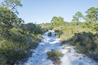
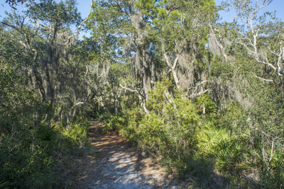
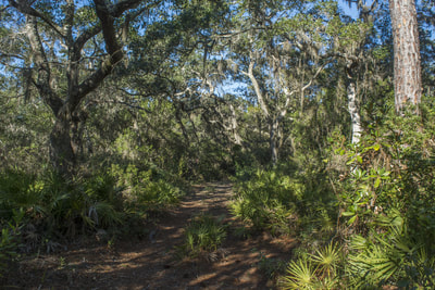
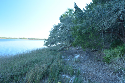
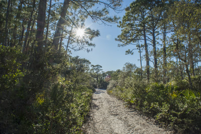
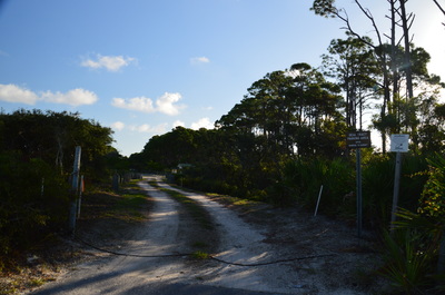
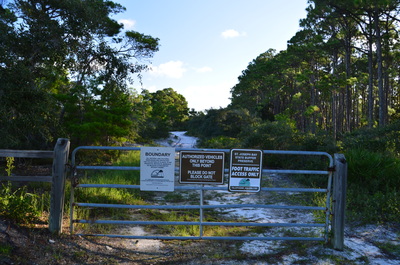
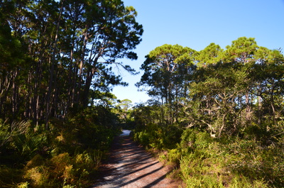
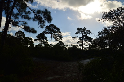
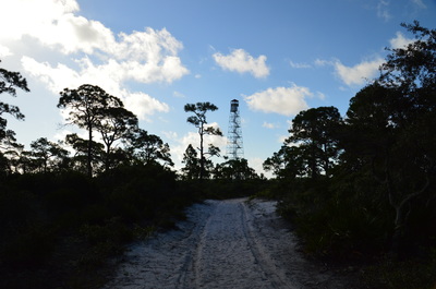
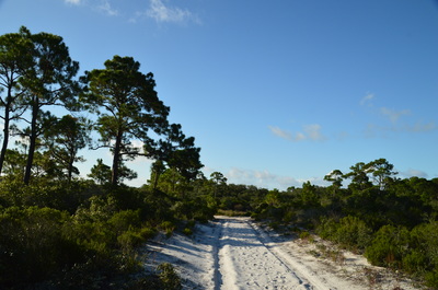
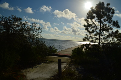
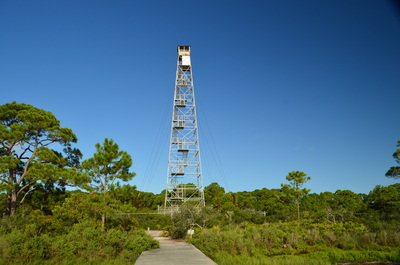
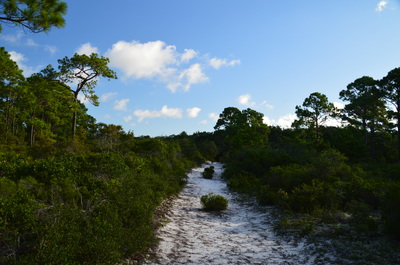
Begin the hike at the gate at the back of the new parking area for Deal Tract. There is a trailhead kiosk and a sign nearby that says "Foot Traffic Access Only". This is the Old Pine Bay Trail, which follows a sandy forest road northeastward into coastal pine flatwoods. It is possible that you will not see anyone on this hike, despite its proximity to numerous houses. At 0.3 miles, the trail comes out of the pine flatwoods at an unmarked junction. Here, the Hammock Spur Trail leaves off to the left. You will check it out on your way back. Bear right and continue on the Old Pine Bay Trail into scrubby flatwoods near the shore of the bay. The sandy trail reaches the St. Joseph Bay shoreline at a large clearing at 0.5 miles. A concrete pad in this clearing is the site of an old firetower that was dismantled sometime between my first visit in mid-2016 and second visit in late-2017.
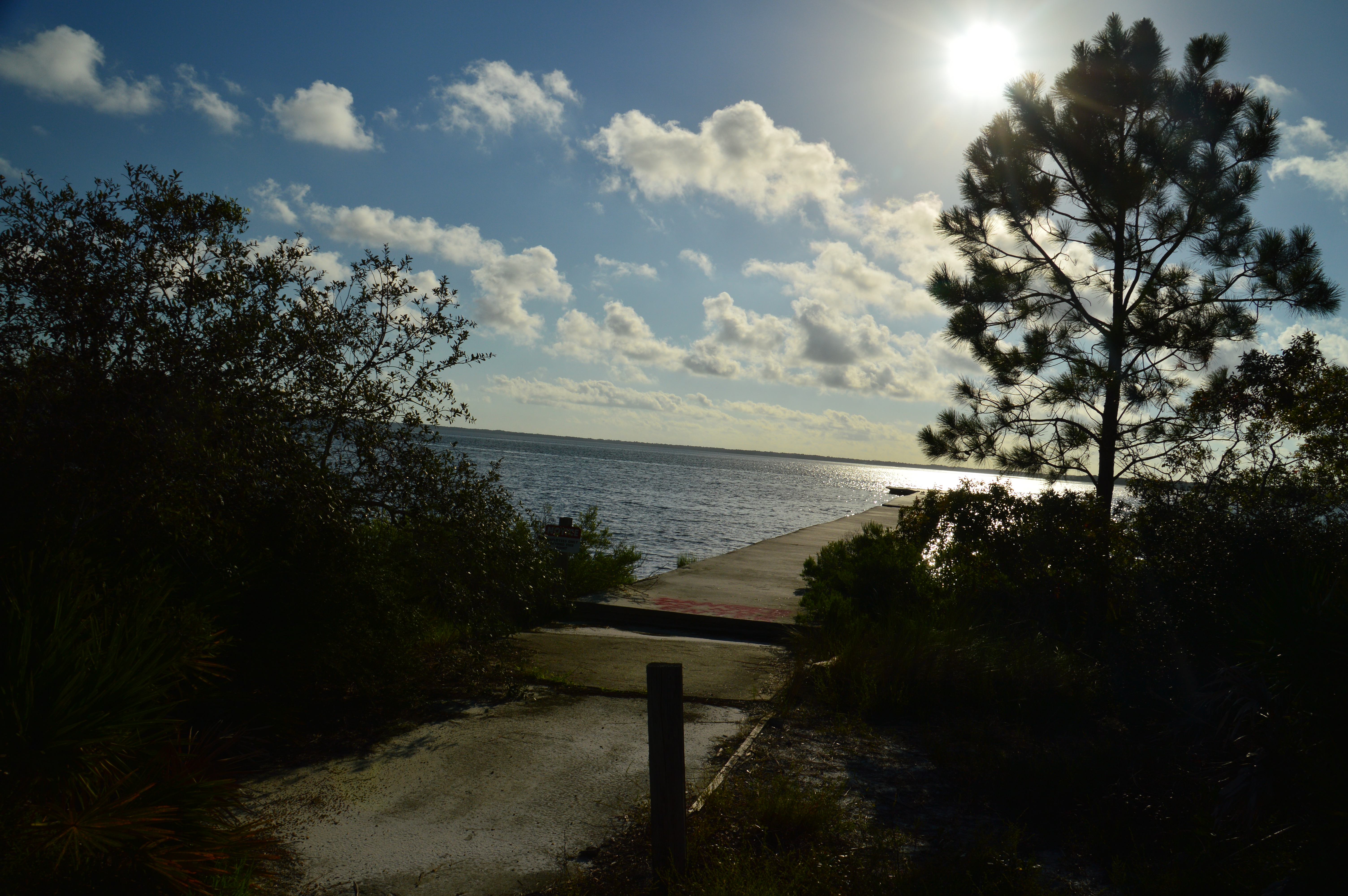
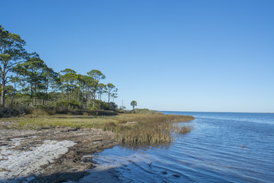
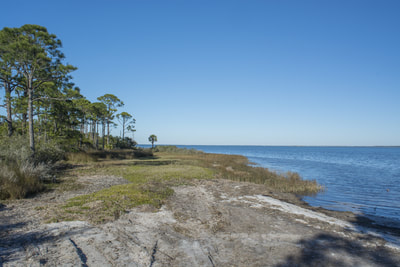
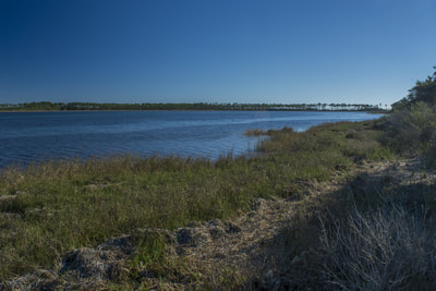
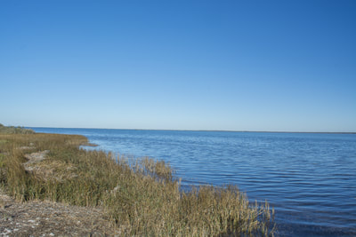
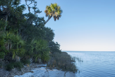
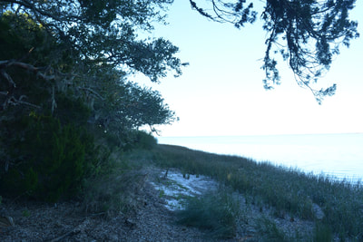
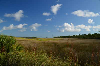
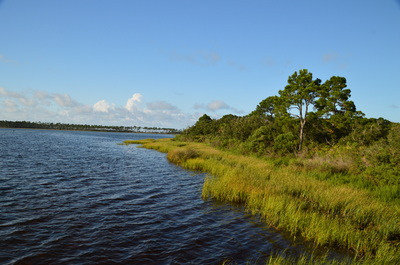
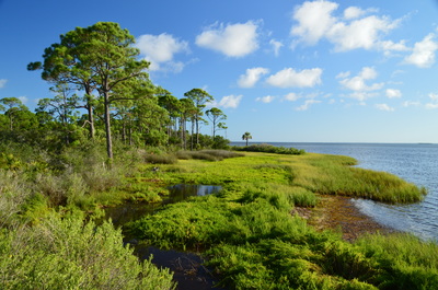
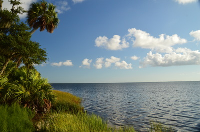
On my first visit, there had been a concrete walkeway leading out into the bay with panoramic views at the trail's end. However, as of my second visit, this walkway has been dismantled. It's still worth going here though - the views are still pretty. The view of the pine-fringed marshes along the edge of the bay to the left is particularly picturesque. From the observation area, you can observe a variety of shorebirds fishing or flying by, including gulls, pelicans, and ospreys.
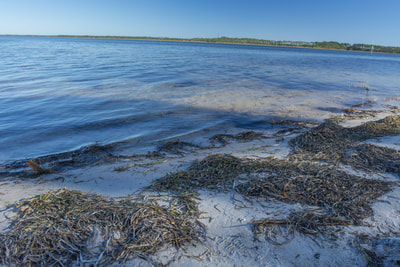
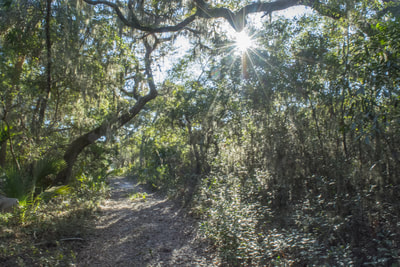
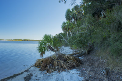
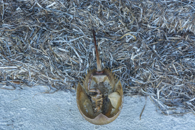
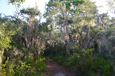
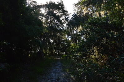
From the end of the Old Pine Bay Trail, return to the Hammock Spur Trail and turn right onto it at 0.7 miles. This narrower trail appears to receive less use. You'll lose a bit of elevation and enter Richardson Hammock at 0.8 miles. Cabbage palms and live oaks draped in Spanish moss dominate this denser patch of forest. I found mosquitoes to be a bit problematic here, due to the deep shade given by the canopy overhead. At 0.9 miles, the Hammock Spur Trail ends near the shore at an ancient shell midden, nestled in the middle of the hammock. This shell midden, which was left behind by Native Americans hundreds or thousands of years ago, is an ancient campsite. Please remember: do not disturb or remove any of the ancient artifacts at the shell midden. While the official trail ends here, a narrow path to the left leads out to the bay with another great view of the watery expanse. This view is actually nicer than the one at the end of Old Pine Bay Trail. Twisting palm trunks give a jungle-like feel to the sandy shoreline. If you walk around a little, you might even find a few horseshoe crab shells lying around. From Richardson Hammock, retrace your steps back to the Old Pine Bay Trail and then back to the trailhead parking area, concluding this short hike at 1.4 miles. Mileage
0.0 - Deal Tract Trailhead
0.5 - St. Joseph Bay views at the end of Old Pine Bay Trail 0.9 - Ancient shell midden and more views of St. Joseph Bay 1.4 - Deal Tract Trailhead Variations
Hike the Old Pine Bay Trail out and back without the Hammock Spur Trail - 1.0 Miles
Bonus Stops
For an additional hike in the vicinity, consider any of the following:
Pictures
12/30/17 Gallery:
8/13/16 Gallery:
Videos
1 Comment
George Latzanich
3/27/2021 08:46:31 pm
Hey, Thanks!
Reply
Leave a Reply. |
About MeMark Oleg Ozboyd Dear readers: I have invested a tremendous amount of time and effort in this website and the Georgia Waterfalls Database the past five years. All of the work that has gone in keeping these websites updated with my latest trip reports has almost been like a full-time job. This has not allowed me to pick up a paid job to save up money for college, and therefore, I I've had to take out loans. If you find the information on this website interesting, helpful, or time-saving, you can say "thanks" and help me out by clicking the button above and making a contribution. I will be very grateful for any amount of support you give, as all of it will apply toward my college tuition. Thank you!
Coming in 2022-2023?
Other Hiking WebsitesMiles HikedYear 1: 540.0 Miles
Year 2: 552.3 Miles Year 3: 518.4 Miles Year 4: 482.4 Miles Year 5: 259.9 Miles Archives
March 2021
Categories
All
|

 RSS Feed