
The Jacks River is known best for its spectacular huge waterfall Jacks River Falls, but much further upstream is another waterfall that is much smaller and less-known but still quite scenic: Shadow Falls. Located on the South Fork of the Jacks River, 20-foot Shadow Falls is easily accessible via the South Fork Trail. The waterfall is situated between two knobs near Jacks River Fields Campground in an area of the Jacks River watershed that otherwise has only gradual elevation loss along the course of the river. If you choose to turn the short waterfall hike into a much longer day hike or overnight, a few historic features around Flat Top Mountain await. In addition, you'll find plenty of solitude on the little-used trails on this hike, perhaps with an exception around Shadow Falls and Jacks River Fields. This hike occurred on Saturday, August 26th, 2017. My plan was to hike the South Fork Trail from the trailhead near Elliot Road, shortly joining the Benton Mackaye Trail, south to Shadow Falls and the small lower waterfall. From there, I'd hike the Benton Mackaye Trail to Flat Top Mountain, where there is a historic homestead and the foundations of an old fire tower. I would also make a side trip to the historic Dyer Cemetery along the way. I would then return along the BMT to FS Road 64 and follow FS 64 West past Jacks River Fields Campground to Buddy Cove Gap. I would conclude the hike by following the Pinhoti Trail northward back to South Fork Trail and Elliot Road.
Summary
R/T Length of Trail: 12.9 Miles
Duration of Hike: 8:15 Type of Hike: Loop with Spur Difficulty Rating: 8 out of 10 Total Elevation Gain: 2898 Feet Pros: No particularly strenuous grades Cons: Numerous dead hemlocks littering the forest in the first part of the hike Points of Interest: Shadow Falls - 4 stars; Lower Shadow Falls - 2 stars; Dyer Cemetery: Flat Top Mountain with historic homestead and fire tower foundation Trail Blaze Colors: Benton Mackaye Trail - White Diamond; Pinhoti Trail - both White Rectangle and White Diamond with Turkey Foot Symbol Best Seasons to Hike: Spring Fees: None Beginning Point: Campsite off Elliot Road (FS 126) Directions from Blue Ridge, GA: From the intersection of US 76/GA 515 and GA 5 in Blue Ridge, follow GA 5 North for 4.3 miles, and then, turn left onto Old Highway 2. Follow Old Highway 2 for 10.0 miles to Watson Gap. The last 1.2 miles are unpaved, although the road is in excellent shape and is suitable for all passenger vehicles. In Watson Gap, there is a four-way intersection with other gravel forest roads. Continue straight over the divide, bearing right slightly onto Elliot Road (Forest Service Road 126). Continue for 1.2 miles, passing through the remote Jones Settlement and crossing a bridge over the Jacks River. Just after the last house at 1.2 miles from Watson Gap, a side road bears to the left off FS 126. It is a bit rougher but still should be passable by most passenger vehicles. Continue on the side road for 200 feet to its end at a campsite by the West Fork Jacks River. This is the trailhead for the South Fork Trail. Without blocking the gate, there is space for two or three cars, but if the campsite is occupied, there would be less space. Map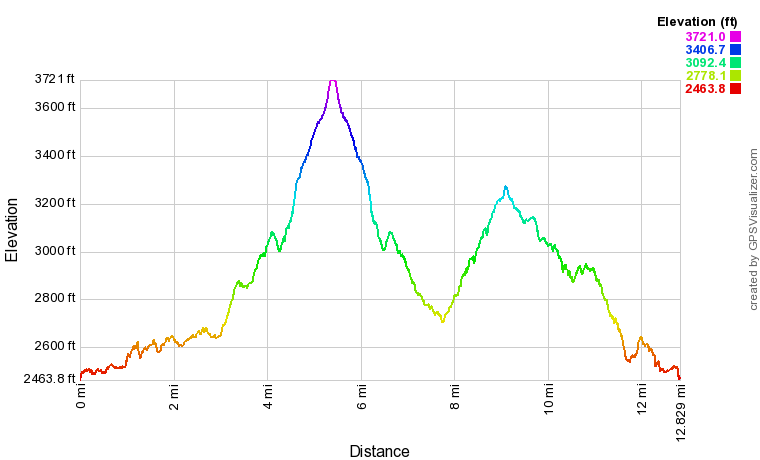
Click the link below to download a .GPX file with a track of this hike.
Details
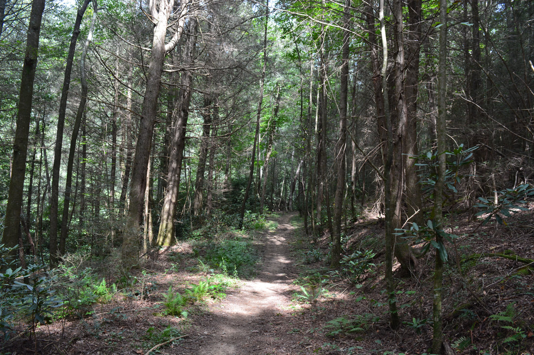
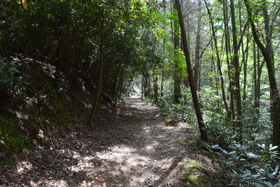
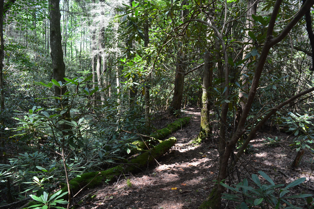
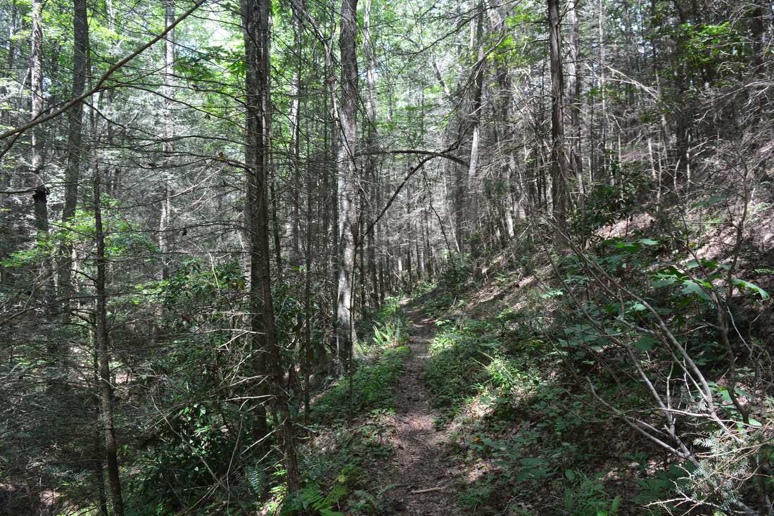
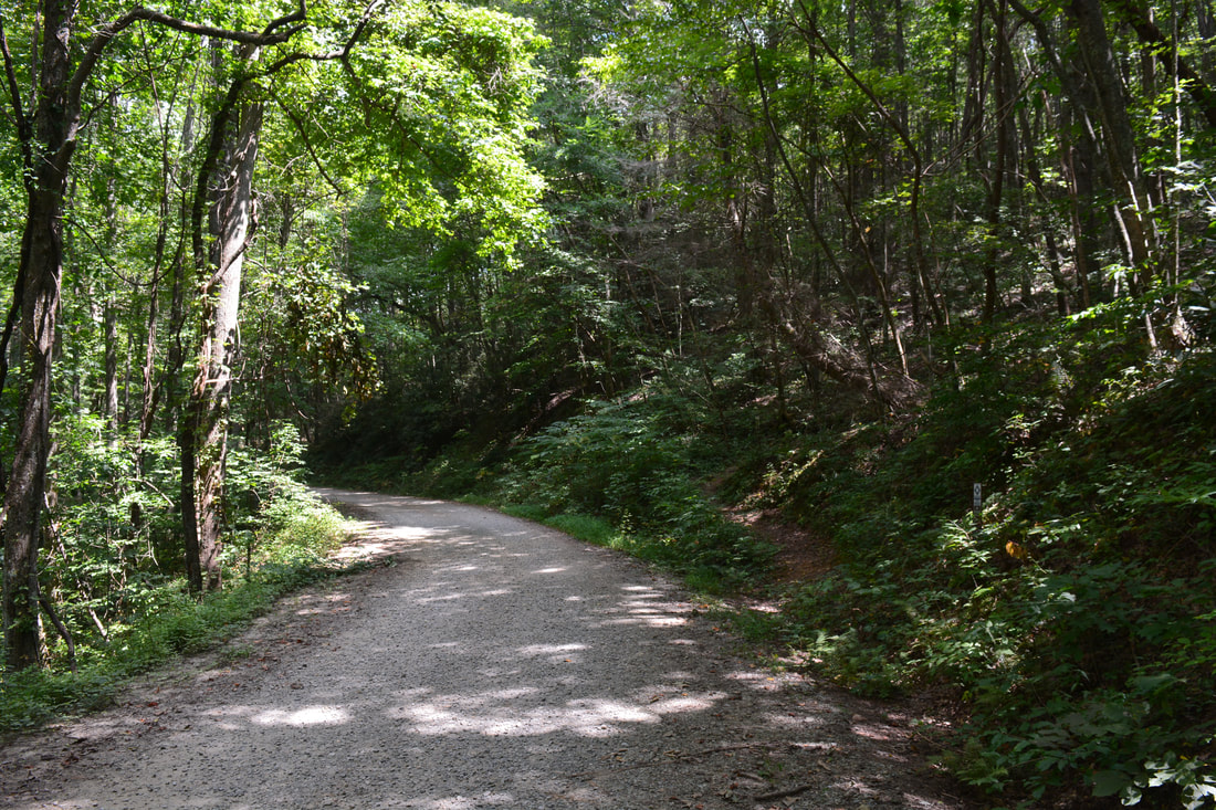
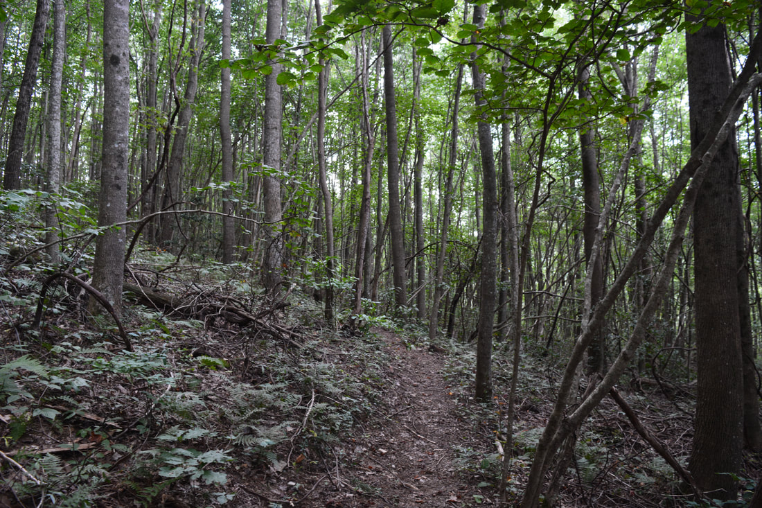
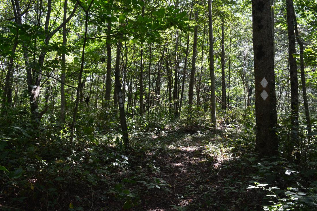
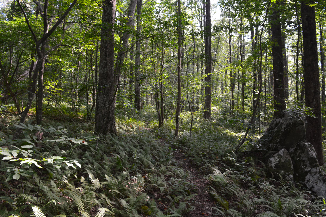
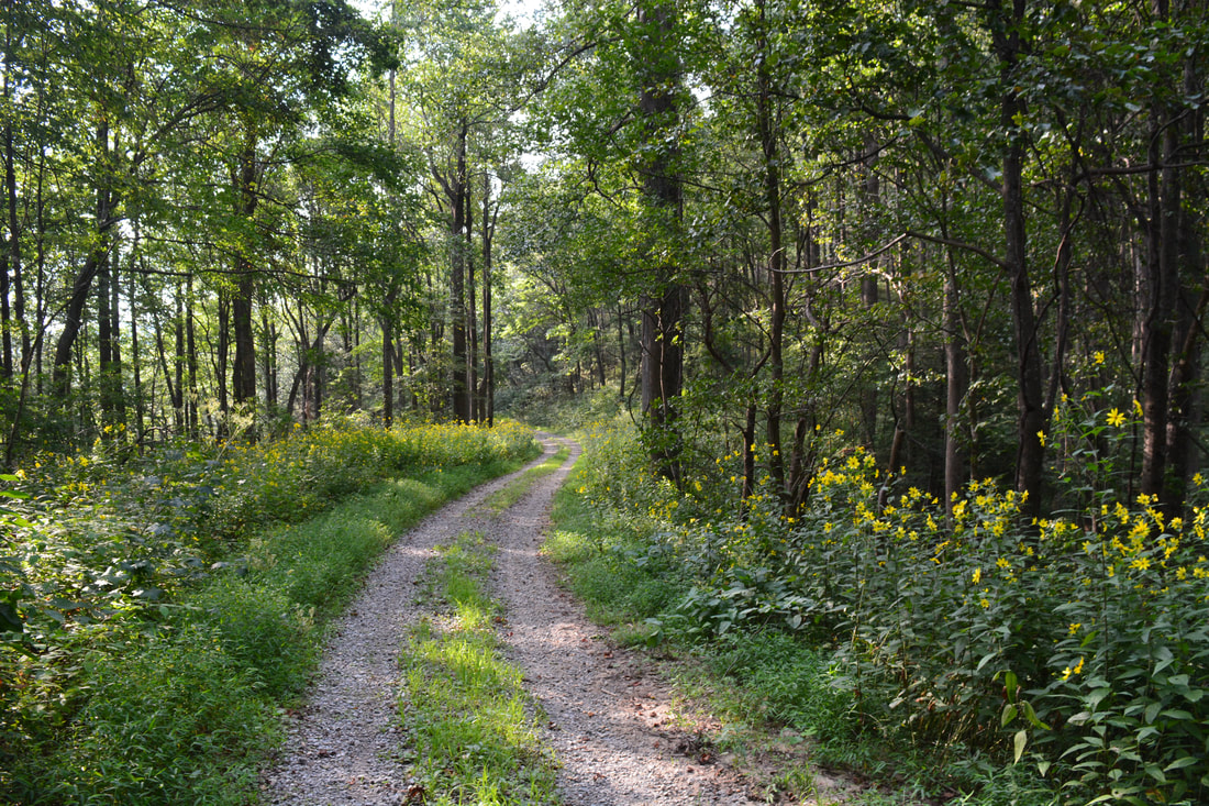
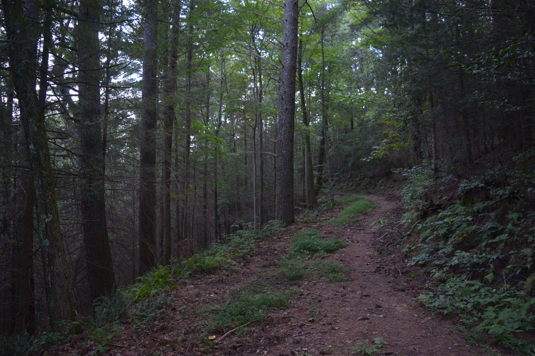
The South Fork Trail is one of the lesser-used trails in the Cohutta Mountains, which is a shame as it is a pretty easy walk with great views of the South Fork Jacks River. Even though there are no particularly amazing features along it, Shadow Falls and its smaller lower counterpart are quite nice. I was surprised to find that the South Fork Trail, which is a multi-use trail that is open to hiking, biking, and equestrian traffic, receives a fair amount of horse usage - more than I've seen on most multi-use trails in the North Georgia mountains.
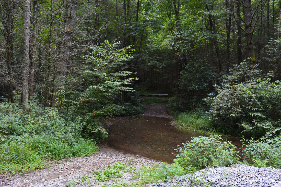
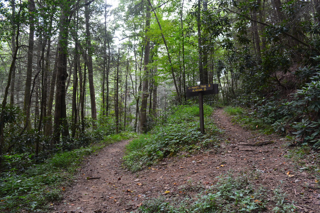
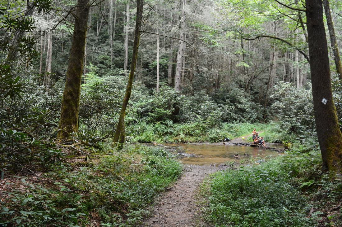
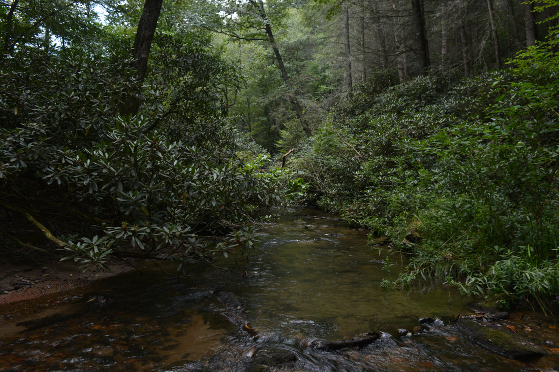
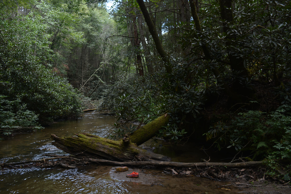
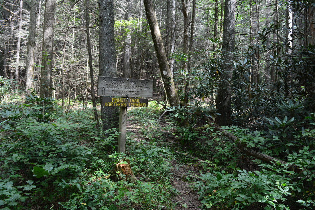
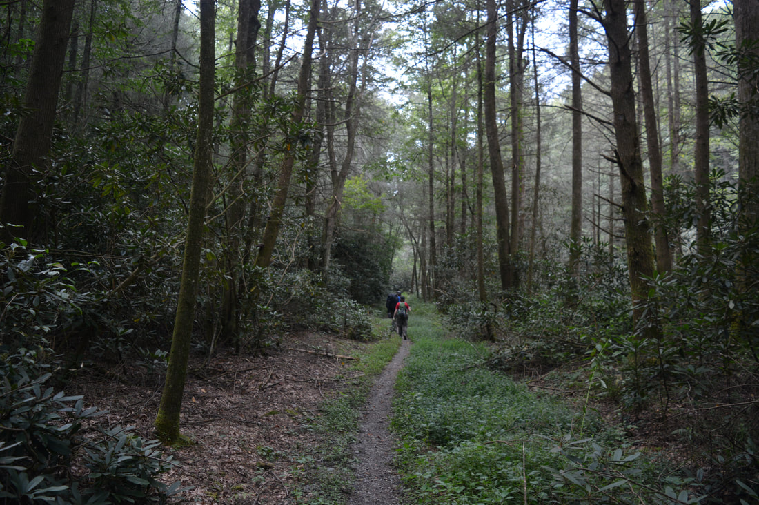
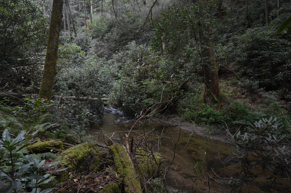
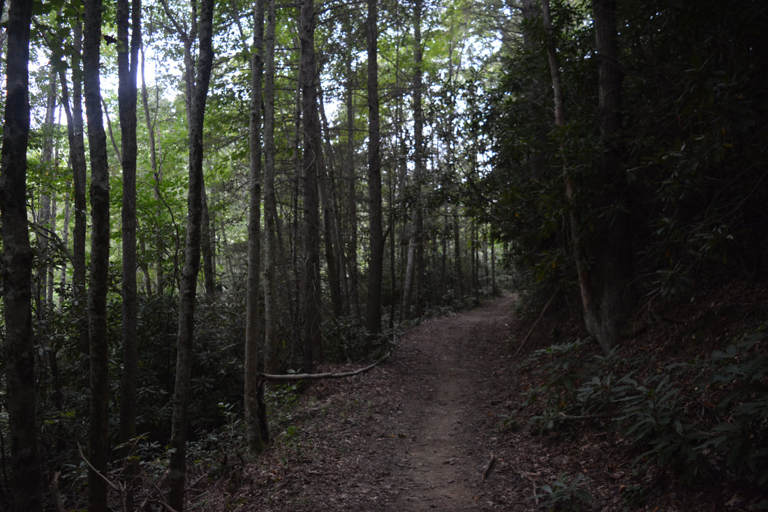
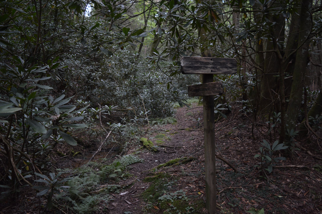
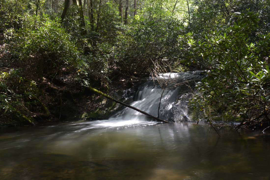
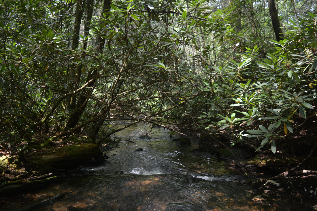
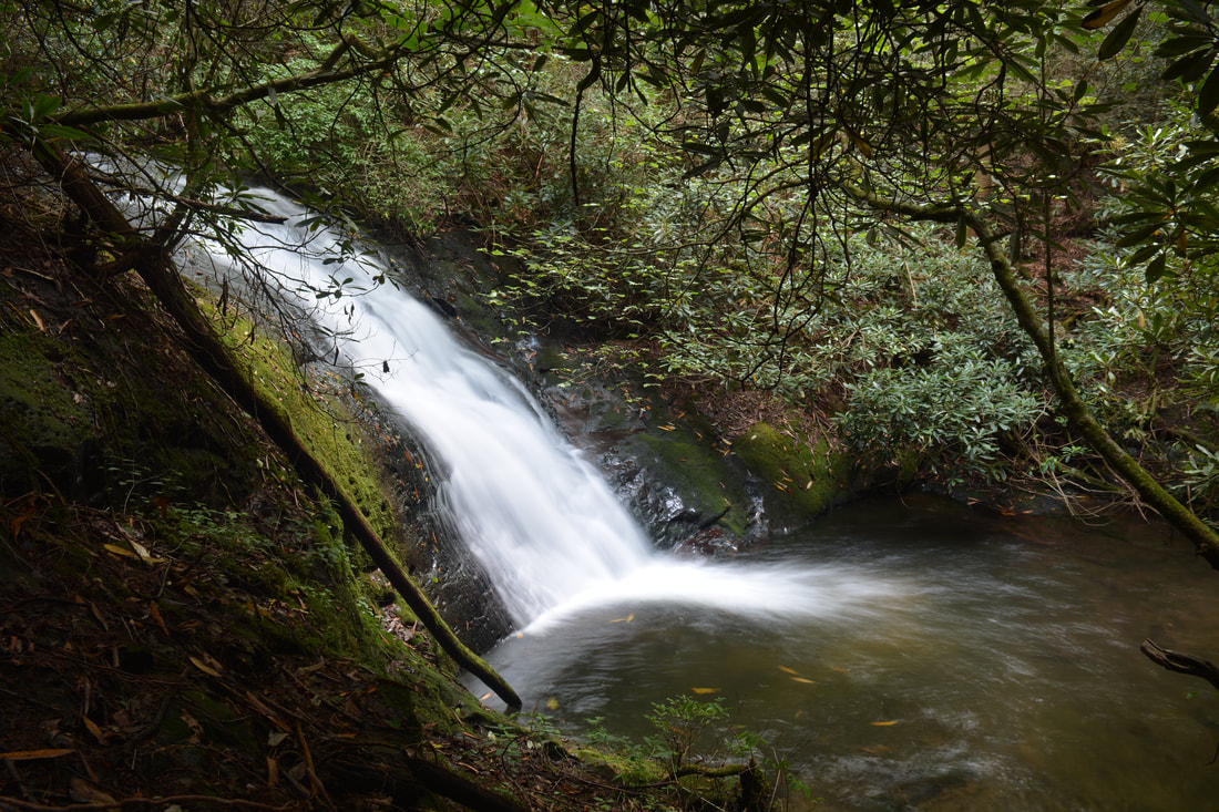
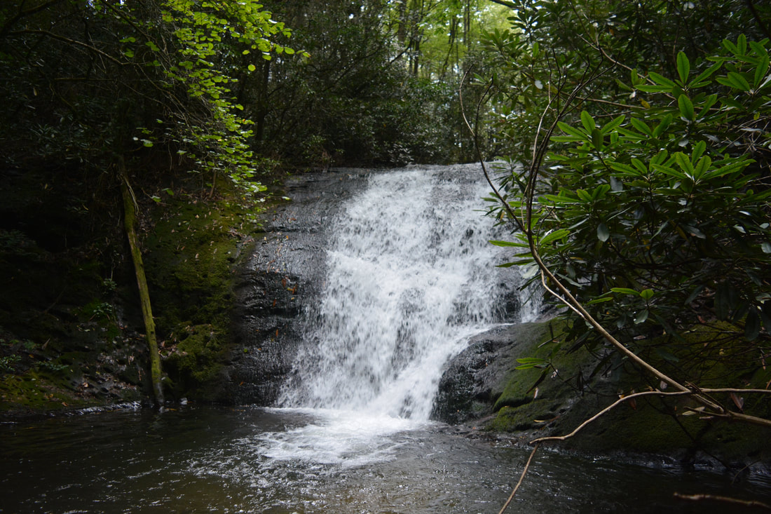
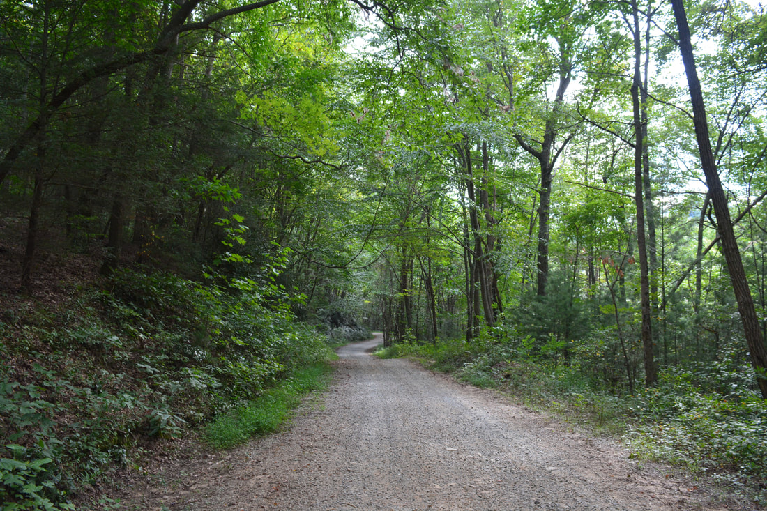
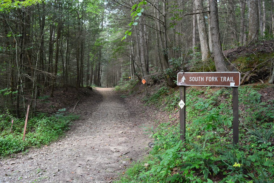
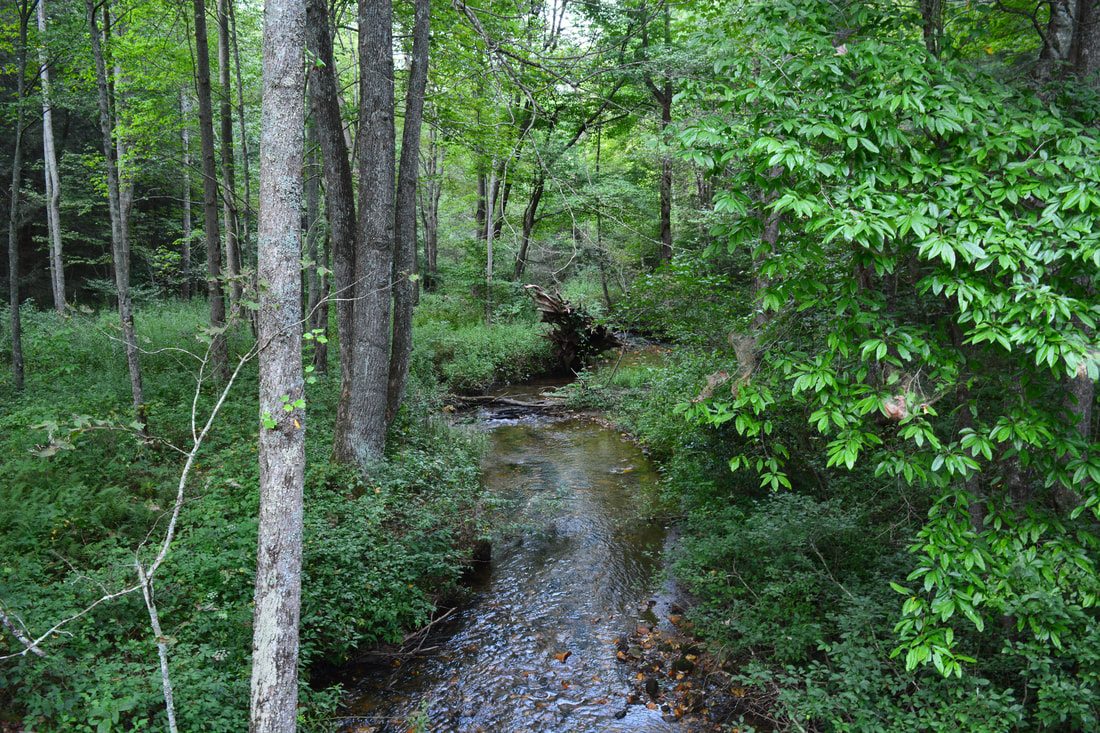
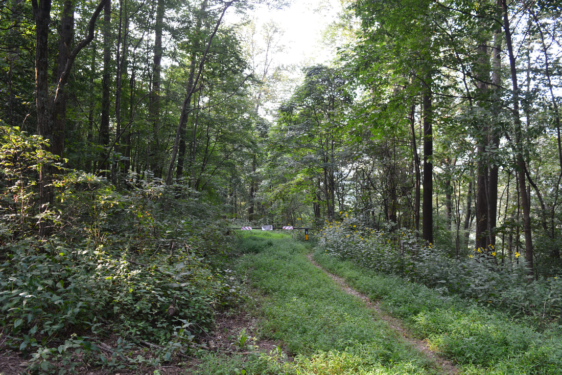
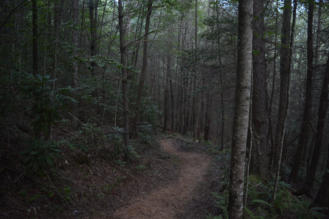
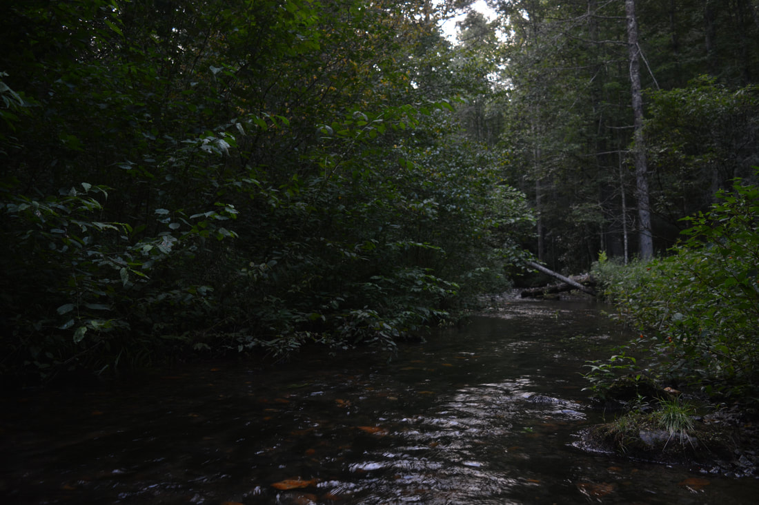
From the campsite on the little side road off Elliot Road, look for the gated forest road heading south up the far side of the West Fork Jacks River - this is the South Fork Trail. Thus, the hike begins with a normally easy ankle-deep wade of the West Fork. Walk around the gate and follow the path along the old road as it swings into the South Fork Jacks River valley. At 0.4 miles, there is a signed junction. The South Fork Trail stays left, joining the Pinhoti Trail. The Pinhoti Trail also bears right in the "Alabama" direction per the sign and eventually reaches FS 64 at Buddy Cove Gap. That is your return route. Continue on the South Fork Trail, which descends gently to a shallow ford of the South Fork Jacks River at 0.55 miles. There are a few rocks underfoot but this will still be an easy wade under most conditions, and the river is very scenic in both directions. This is the last normally wet crossing until the repeat of the West Fork ford at the very end of the hike. Most of the South Fork Trail is very easy, with many flat sections along the river and only small elevation changes with easy grades. At 0.75 miles, the South Fork Trail reaches another signed junction - this time with the Benton Mackaye Trail. The BMT arrives from Watson Gap via a single-track path from the left and continues straight to join the South Fork Trail's old roadbed traverse. Interestingly, this is also the northern terminus of the Pinhoti Trail, which travels over 300 miles through Georgia and Alabama. Stay on the South Fork Trail. It shortly crosses a tributary that can sometimes be a wet crossing, depending on water levels. As you follow the South Fork Jacks River following this, note the incredible amount of dead hemlocks that succumbed to the hemlock wooly adelgid. There are few places in Georgia where I've seen as many dead hemlocks as here, and unfortunately, the beauty of the forest along the trail is considerably lower than it once was when the hemlocks were alive. Never leaving the old roadbed, the South Fork Trail reaches a split at 2.4 miles. The Benton Mackaye Trail turns left onto a narrow path at the sign, whereas the South Fork Trail continues straight to Jacks River Fields. While you're going to be picking up the BMT shortly, you will first continue on the South Fork Trail to see Shadow Falls & Lower Shadow Falls. The trail approaches the South Fork Jacks River at 2.55 miles, staying a bit above it. At this point, look for a steep but distinct goat path descending to some noise on the river down to the right. This is the trail to the small Lower Shadow Falls, which I recommend checking out first. The path descends 150 feet to Lower Shadow Falls. This sliding cascade is less than 10 feet high, but the charm of the spot lies not in the waterfall but in the gorgeous pool just below it. The pool's turquoise color is especially enchanting when it's sparkling under the sun, and the pool makes for a great summer swimming hole. 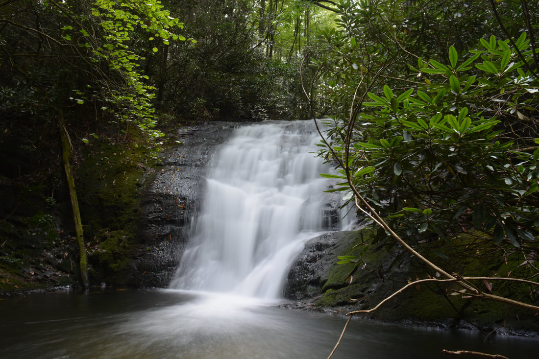
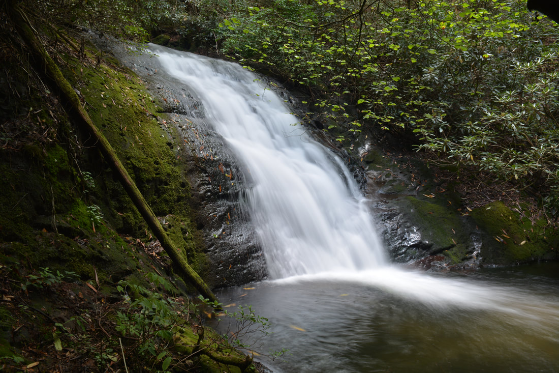
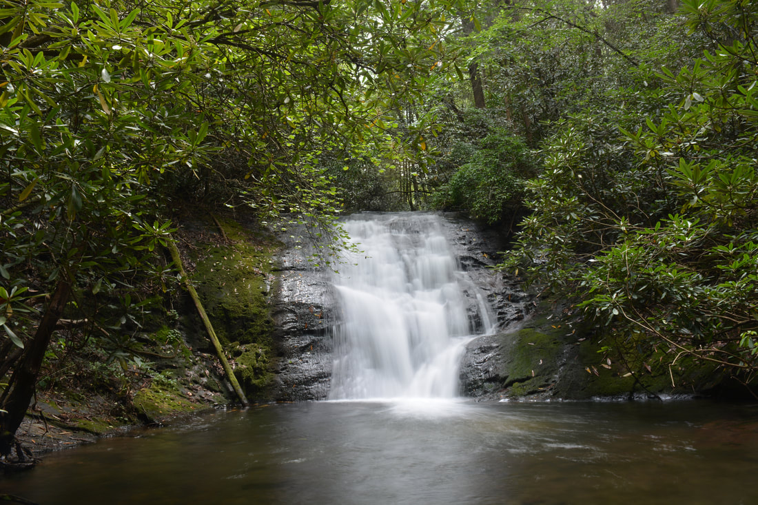
Shadow Falls is a 20-foot sliding waterfall on the South Fork Jacks River.
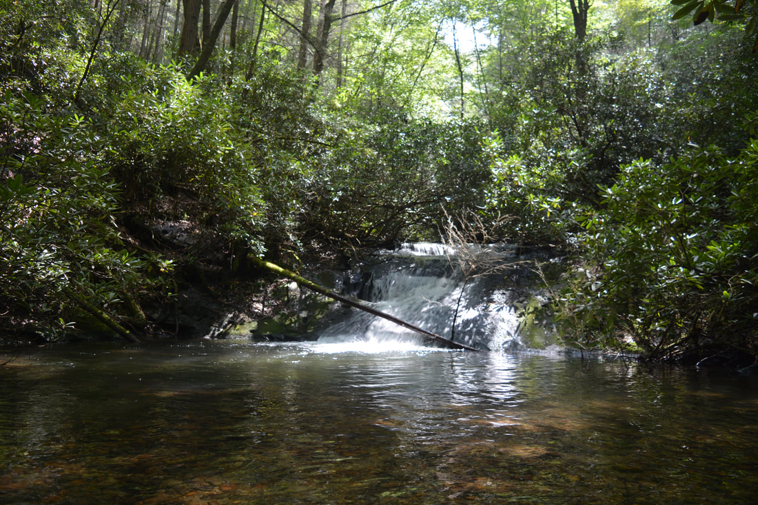
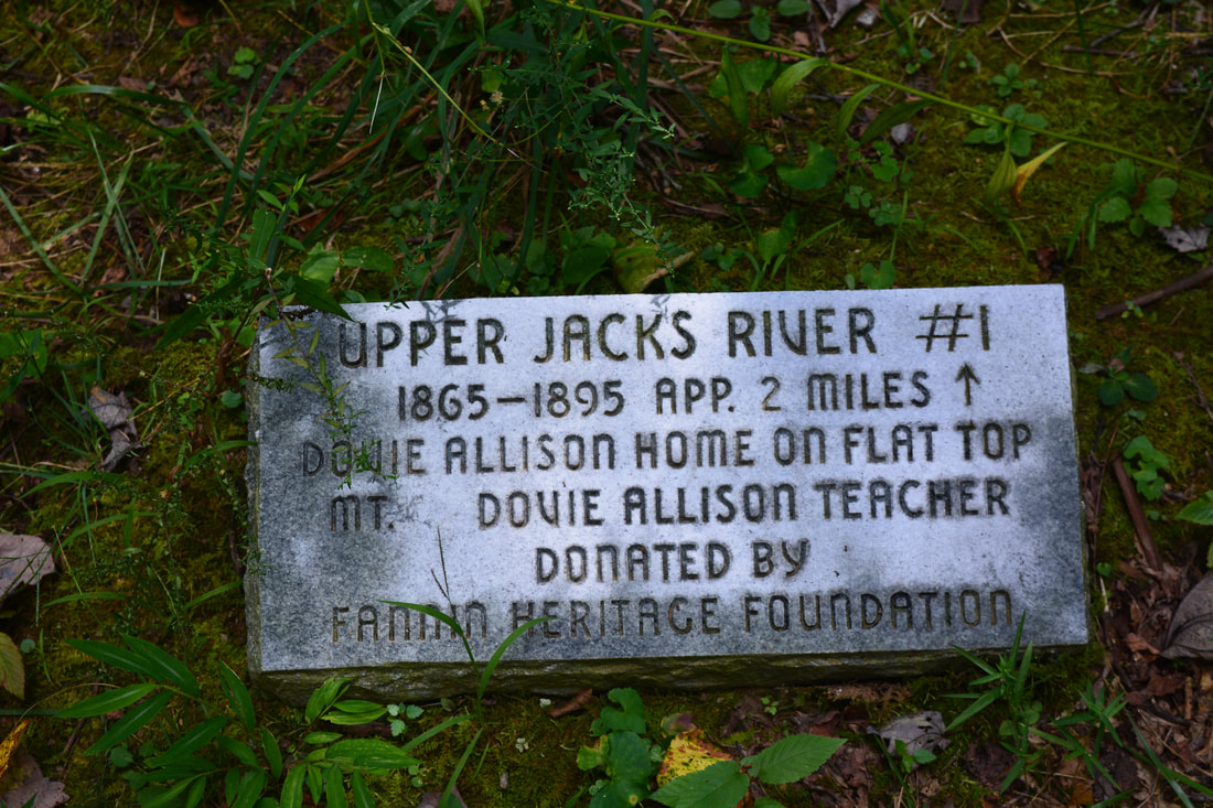
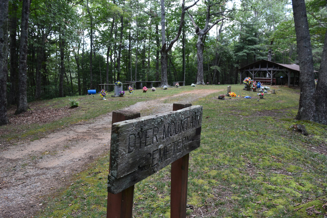
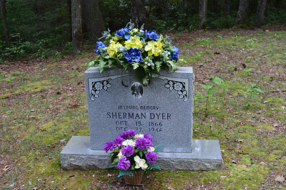
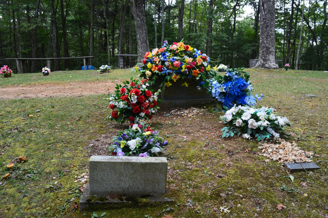
Return to the South Fork Trail from Lower Shadow Falls and follow it for about 200 feet farther to another goat path that cuts acutely down to the right. You can see Shadow Falls. Follow the goat path for about 150 feet down to Shadow Falls, reaching it at approximately 2.7 miles. Shadow Falls is a scenic sliding waterfall that drops 20 feet steeply down a rock wall and into a small pool - much smaller than the one at Lower Shadow Falls. The pool is also more turbulent with fast currents during the higher water levels of winter and spring. The mossy edges of the rock wall are particularly beautiful. You will have to get your feet wet for a good frontal view of Shadow Falls. From Shadow Falls, return to the South Fork Trail and retrace your steps to the BMT junction. Turn right onto the Benton Mackaye Trail and begin a 1100-foot ascent of Flat Top Mountain. The trail first ascends moderately out of the valley in a hollow before coming to a diagonal crossing of Forest Service Road 64 at 3.4 miles. Before you continue on the trail, however, I suggest making the short side trip to Dyer Cemetery by turning left on FS 64 and following it for 0.15 miles to Dyer Gap. Just before the cemetery, where FS 64A leaves to the right, there is a small plaque that appears to describe the historic homestead on Flat Top Mountain. Just ahead is the historic Dyer Cemetery on the left. The cemetery has many graves from the early and mid 1900s and even late 1800s. The Dyers and Cantrells appeared to be the families buried in the cemetery.
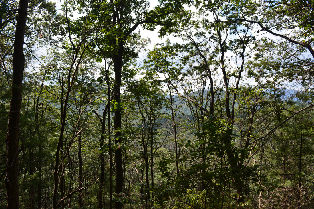
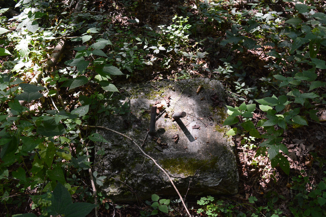
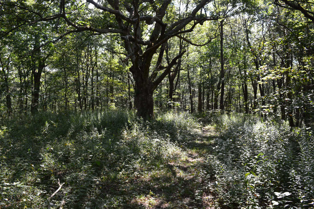
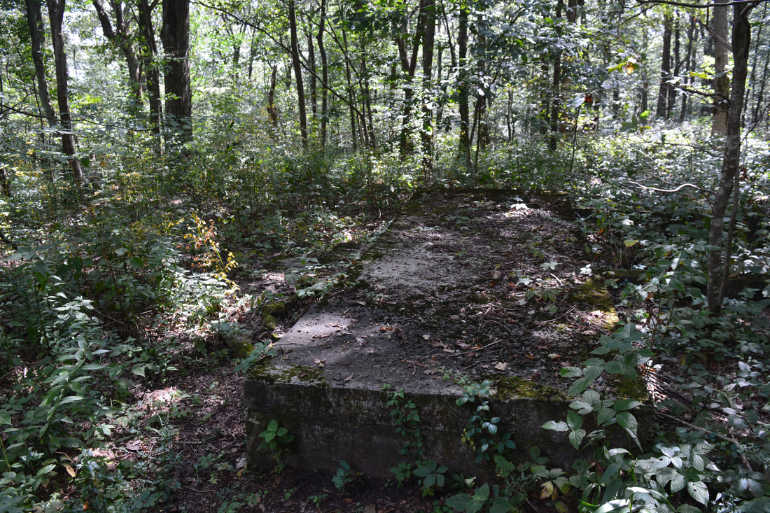
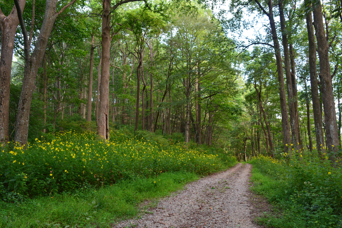
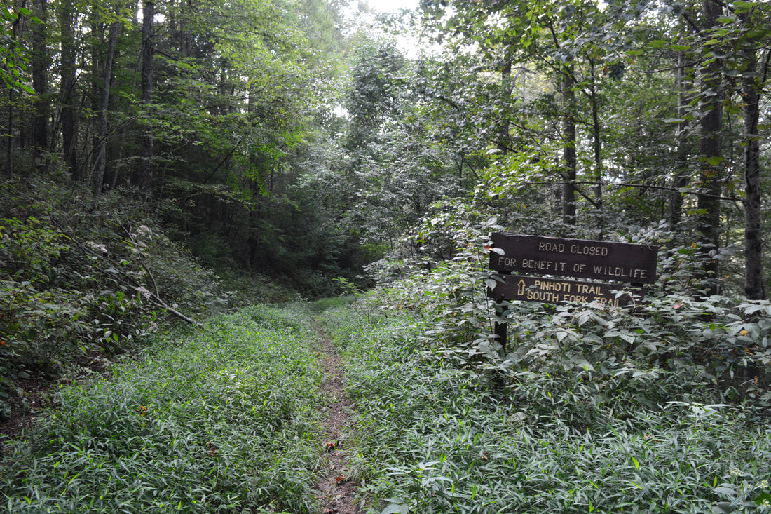
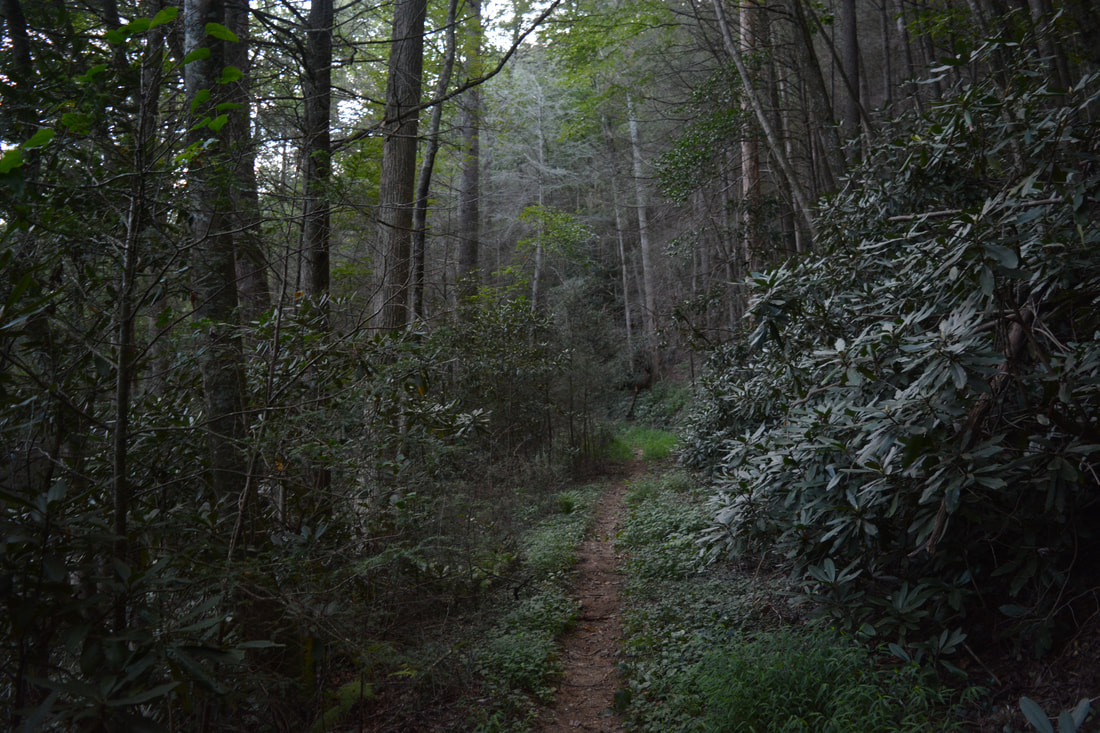
Return to the BMT crossing at 3.7 miles and continue following it as it continues a moderate ascent, curving around a knob north of Flat Top Mountain. A brief downhill stretch brings the trail into a gap at 4.3 miles, and from here, the BMT begins a rather steep period of uphill on the slopes of Flat Top Mountain itself. Just after a switchback, the trail passes through a scenic boulder field at 4.9 miles. There are great winter views in this section. At 5.0 miles, the trail reaches the ridgecrest in another gap and now continues an easy to moderate ascent along the ridge, passing through fields of ferns. At 5.4 miles, the Benton Mackaye Trail reaches the summit of Flat Top Mountain at a wooden post with painted arrows. An old roadbed to the left connects to FS 64A, and the trail bears right onto it. Right around the junction, watch out for a tiny clearing to the left. There are three foundation stones in it - all that remains of a fire tower that once crowned Flat Top Mountain. Back on the trail, continue for a few feet farther into an overgrown clearing with a particularly giant tree to the left. To the right, a sign in the shape of a cross reads "Flat Top Mtn". At the same point, a distinct but short path leaves left and ends in 50 feet at some stone foundations. This is an important historic site - it is all that remains of the Dovie Allison homesite (the overgrown clearing is also evidence of the homestead here). The large concrete block was the porch of the small cabin, and there are also two steps in front of it. You can see the foundations of the cabin's walls as well. It looks like it was a very small cabin with only two rooms. Allison lived at this site from 1865 to 1895 according to the sign in Dyer Gap. Both historic sites atop Flat Top Mountain are among the hike's main attractions and are must-see. From Flat Top Mountain, retrace your steps to FS 64, which you'll reach at 7.15 miles. This is a decision point: you can simply continue returning along the same easy route back to the trailhead, or you can follow FS 64 for a loop along the Pinhoti Trail. The loop option is more difficult due to extra elevation gain, and the roadwalk section may not be fully worth it to some people, but I still liked it for a change. Plus, much of this portion of FS 64 was closed due to damage at the time of my hike. To hike the lop, turn left onto FS 64 and follow it downhill, crossing a bridge across the South Fork Jacks River and reaching Jacks River Fields Campground at 7.9 miles. From here on, when I did the hike, FS 64 was closed, but it will be reopened as soon as repairs are completed. Regardless, keep following FS 64 as it ascends moderately. The road passes through Crenshaw Gap at 8.7 miles and finishes the ascent at 9.15 miles. After this, a short descent and level stretch leads to the Buddy Cove Gap Trailhead at 9.7 miles. In the gap, a sign points the Pinhoti Trail as it leaves to the left in conjunction with the Mountaintown Creek Trail. That is the opposite direction of the Pinhoti - southbound into the Crenshaw Branch and Mountaintown Creek valleys. A few feet farther, two forest roads leave to the right. The one making a more acute turn is FS 64C, which you must turn right onto to pick up the northbound Pinhoti Trail. 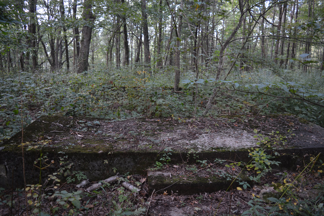
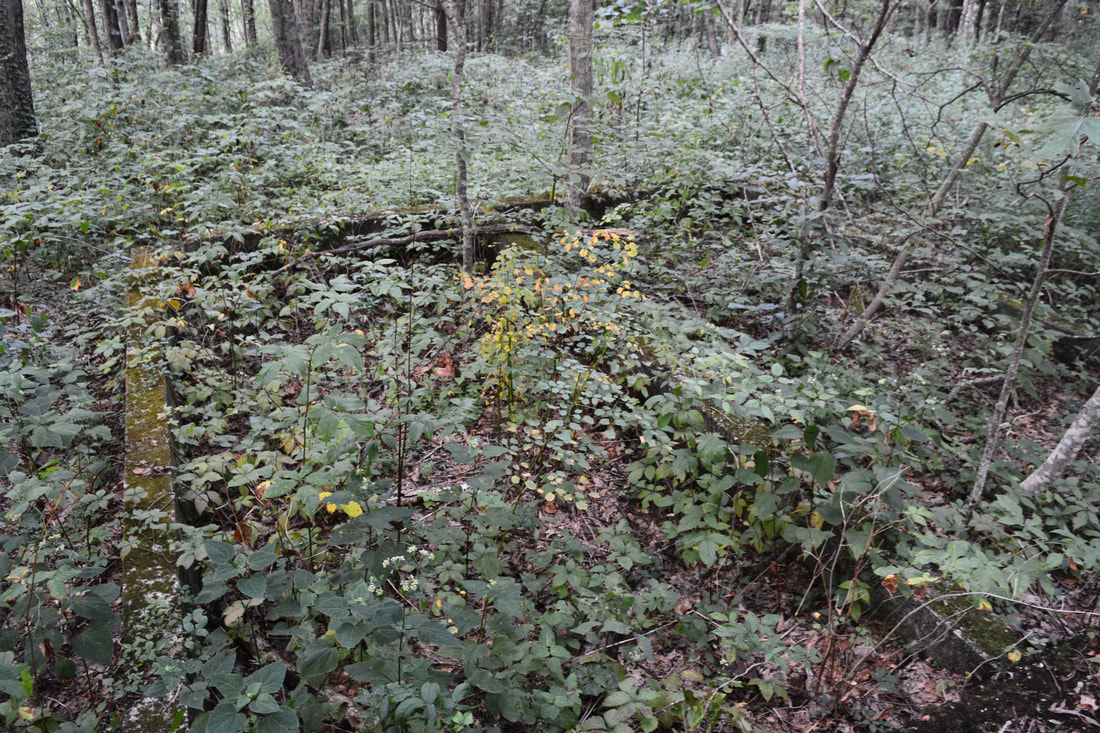
The summit of Flat Top Mountain is home to the historic Dovie Allison homesite. The foundation is all that remains from the former cabin.
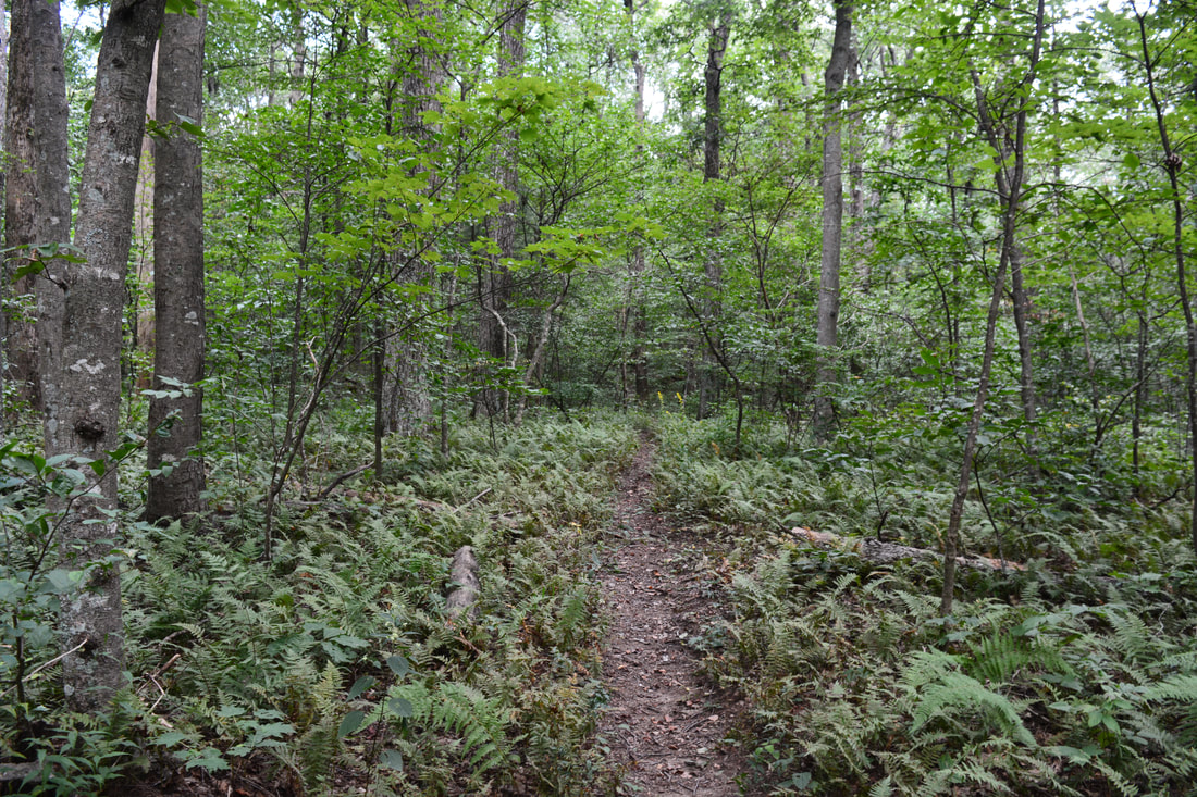
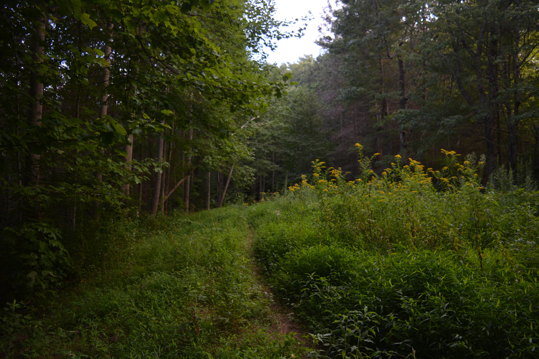
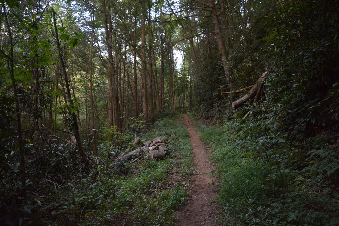
The path passes around the FS 64C gate and past a Pinhoti Trail sign that also states that the road was closed to vehicles for the benefit of wildlife. As the trail begins a gradual descent, keep in mind that essentially all of the hike's remaining segment consists of relaxing downhill with only a few short stretches of up. During this time, the Pinhoti generally contours along slopes below the ridge, occasionally approaching the crest at gaps. The trail also passes through several wildlife clearings, but the route is always obvious and well-blazed. After the last wildlife clearing at 11.5 miles, the trail finally narrows and briefly steepens as it descends into the South Fork Jacks River valley once again. The trail comes alongside a tributary at 11.75 miles and then passes through a muddy area with a pair of small streams. After a very brief uphill, the trail contours along the slope again - now not far above the South Fork - before reaching the South Fork Trail junction at the end of the loop at 12.5 miles. Bear left on the Pinhoti Trail for the final leg of the hike, retracing your steps from the beginning of the day. After the final ford of the West Fork Jacks River, you will reach the parking area, concluding the hike at 12.9 miles.
Mileage
0.0 - FS 126
0.4 - Pinhoti Trail Jct, Begin Loop 0.55 - South Fork Jacks River Ford 0.75 - Benton Mackaye Trail Jct 2.4 - BMT/South Fork Split 2.7 - Shadow Falls 3.4 - FS 64 3.55 - Dyer Cemetery 5.4 - Flat Top Mountain 7.15 - FS 64 7.9 - Jacks River Fields Campground 8.7 - Crenshaw Gap 9.7 - Buddy Cove Gap (Pinhoti Trailhead) 12.5 - South Fork Trail Jct, End Loop 12.9 - FS 126 Variations
Hike out and back to Shadow Falls from FS 126 - 5.35 Miles
Hike out and back to Shadow Falls, Dyer Cemetery, and Flat Top Mountain from FS 126 - 10.35 Miles Bonus Stops
South of Blue Ridge is Fall Branch Falls, a 40-foot double-slide waterfall that is best seen during periods of high flow. The falls is accessed by a very easy 0.5-mile hike on the BMT, and it could be a great bonus stop after the South Fork Jacks River Loop.
PicturesVideos
1 Comment
|
About MeMark Oleg Ozboyd Dear readers: I have invested a tremendous amount of time and effort in this website and the Georgia Waterfalls Database the past five years. All of the work that has gone in keeping these websites updated with my latest trip reports has almost been like a full-time job. This has not allowed me to pick up a paid job to save up money for college, and therefore, I I've had to take out loans. If you find the information on this website interesting, helpful, or time-saving, you can say "thanks" and help me out by clicking the button above and making a contribution. I will be very grateful for any amount of support you give, as all of it will apply toward my college tuition. Thank you!

Coming in 2022-2023?
Other Hiking WebsitesMiles HikedYear 1: 540.0 Miles
Year 2: 552.3 Miles Year 3: 518.4 Miles Year 4: 482.4 Miles Year 5: 259.9 Miles Archives
March 2021
Categories
All
|
||


 RSS Feed