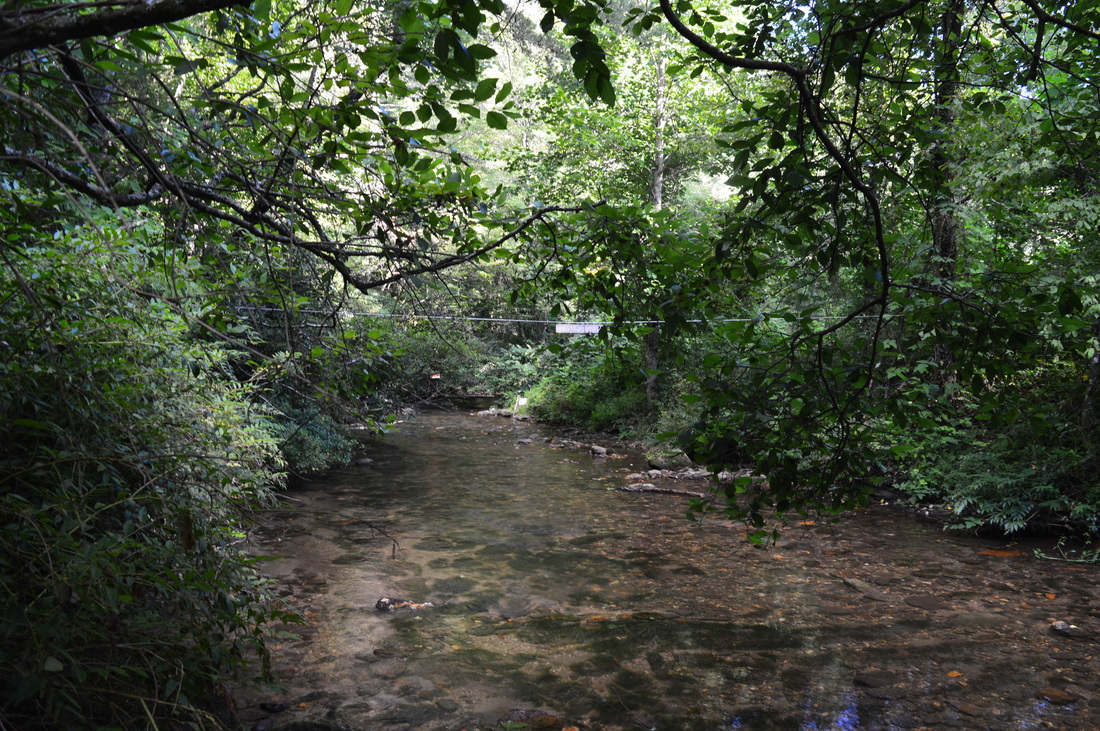
Smithgall Woods State Park, one of the largest state parks in Georgia, is a low-elevation woodlands tract near the tourist town of Helen. Through the center of the park flows Dukes Creek.This hike revolves around Dukes Creek, visiting several waterfalls on tributaries as well as the main show, Dukes Creek Falls. This hike occurred on Saturday, August 8th, 2015. My plan was to hike the Laurel Ridge Trail clockwise, and then follow Tsalaki Trail (a paved road that is closed to vehicles) to several various trails: Wetlands Loop, Martin's Mine Trail, Cathy Ellis Trail, and Ash Creek Trail. After completing all of these trails, I would also head upstream along Dukes Creek and take the Dukes Creek Falls Access Trail to Dukes Creek Falls.
Summary
R/T Length of Hike: 14.9 Miles
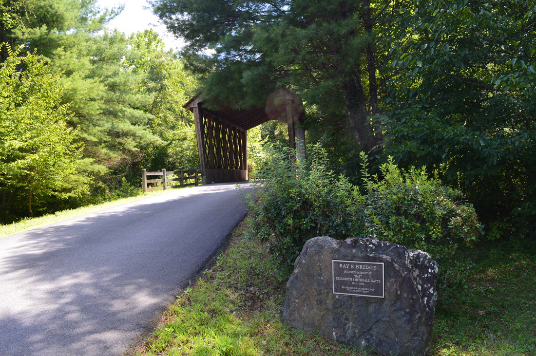
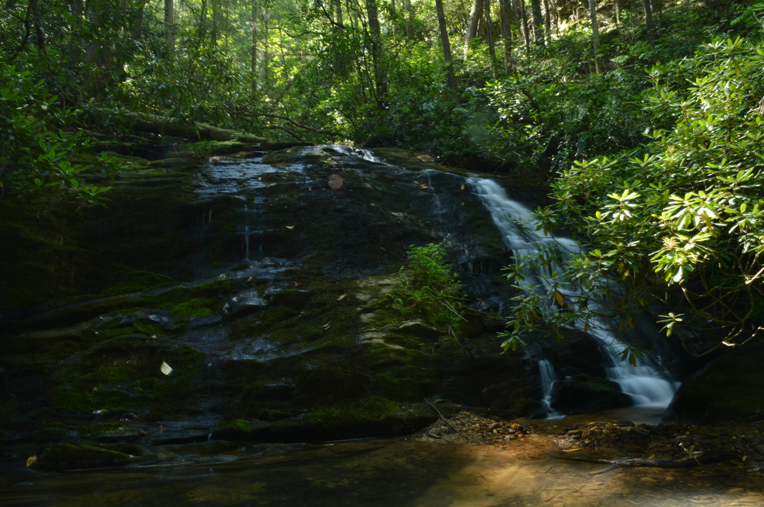
Duration of Hike: 8:00 Type of Hike: Out and Back with side trips Difficulty Rating: 5 out of 10 Pros: Well-marked and well-maintained trails (with the exception of Ash Creek Trail) Cons: Lots of roadwalk; wetlands crossing on Wetlands Loop; Maintenance issues on Ash Creek Trail; Confusing and hard-to-find start to Dukes Creek Falls Access Trail Points of Interest: Hamby Branch Falls - 3 stars; Alabama Branch Falls (Chunanee Falls) - 5 stars; Dukes Creek Falls - 9 stars; Martin's Mine; Beaver dam on Wetlands Loop Trail Blaze Color(s): None besides for colored interpretive markers Best Season(s) to Hike: Spring Beginning Point: Smithgall Woods State Park Visitor Center Directions: From Helen, GA: Take GA State Route 75 North for approximately 1 mile, and then, turn left onto GA State Route 75-Alt. Follow GA State Route 75-Alt for 2.5 miles, and then, turn left and enter Smithgall Woods State Park. SHortly reach the visitor center and the parking area next to it. Do not drive onto Tsalaki Trail - despite that it is a paved road, it is closed to all public motorized traffic. MapDetails
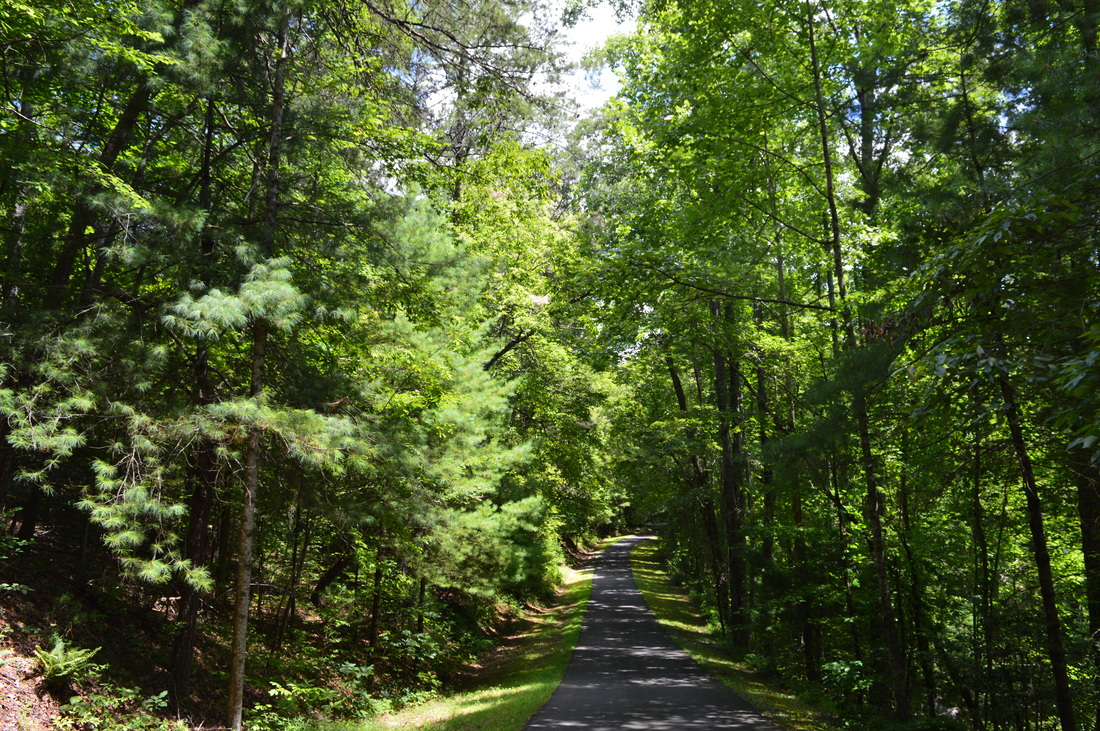
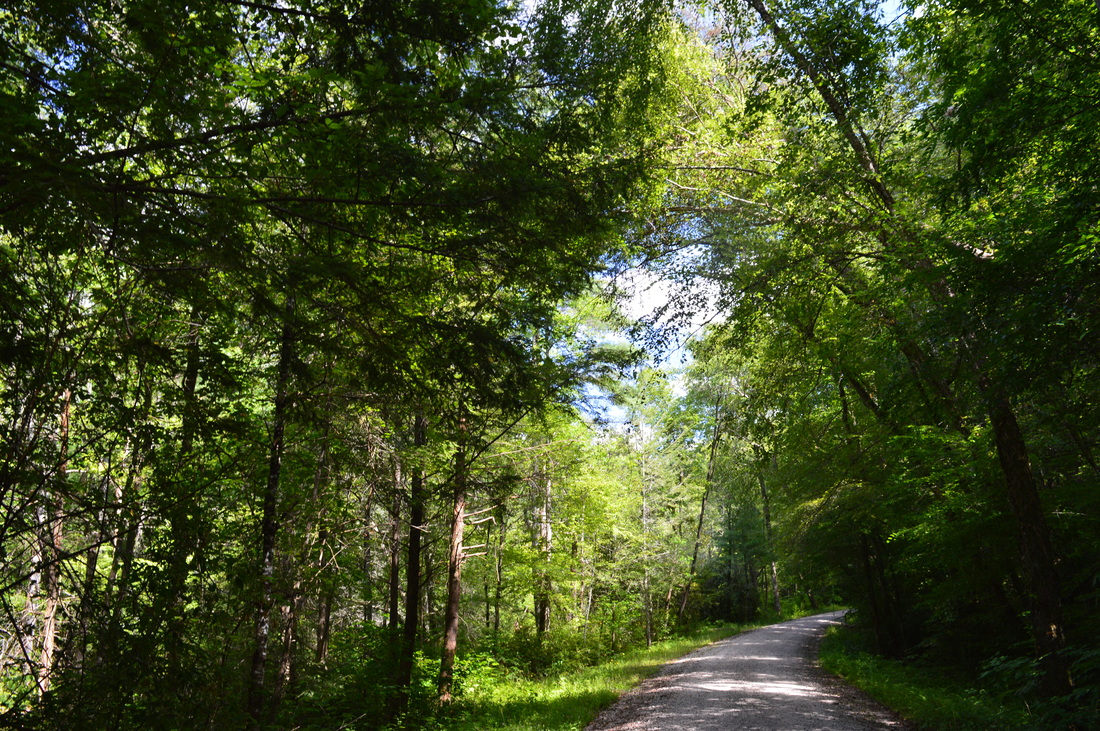
I never understood why a good road is built and paved, but then, you're not allowed to drive on it. Such is the case at Smithgall Woods State Park, where around half of your hike involves roadwalk on good roads. Unfortunately, there's no way to avoid the roadwalk.
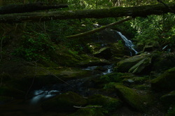
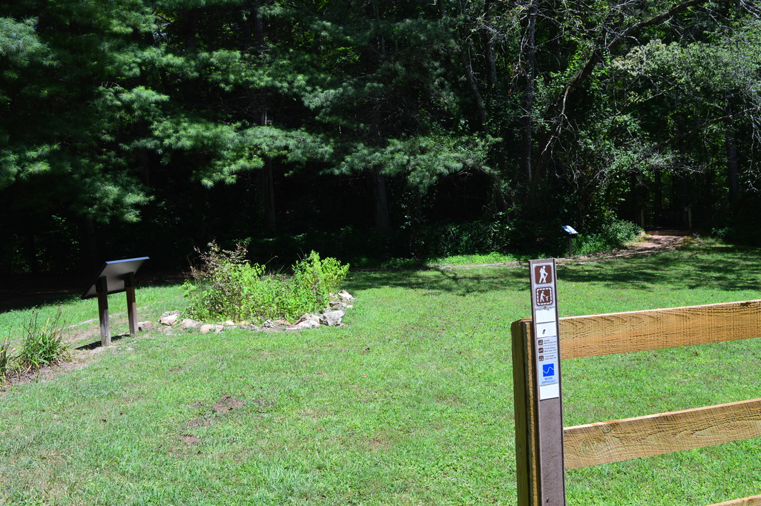
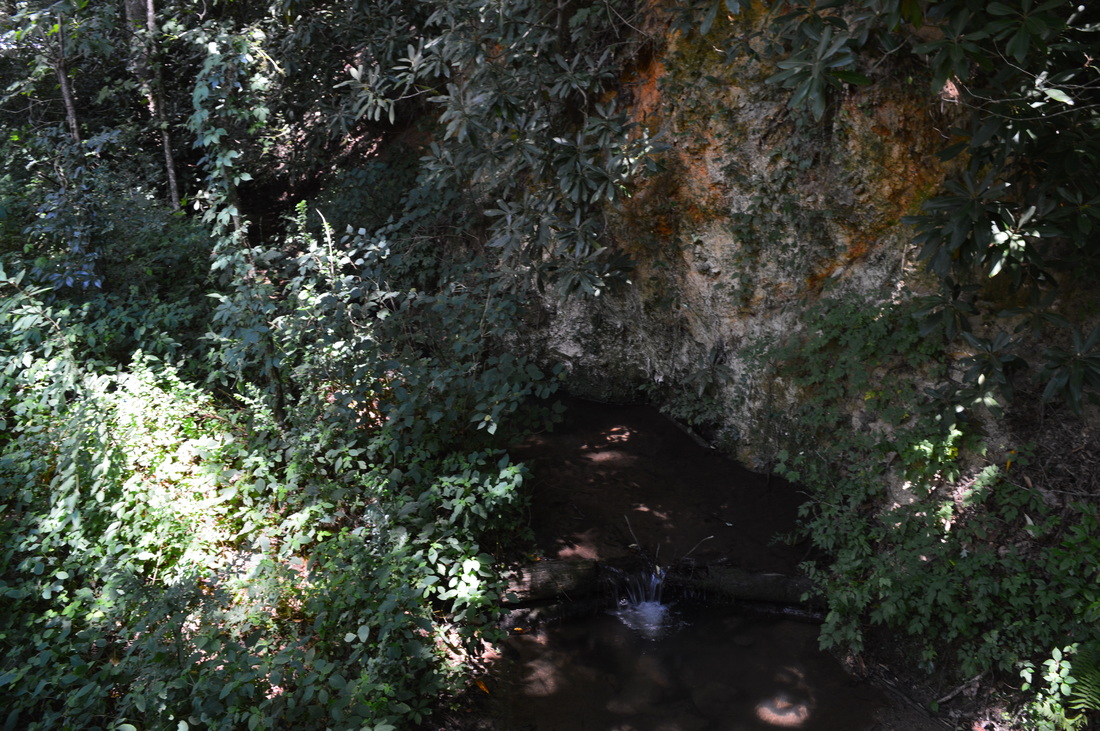
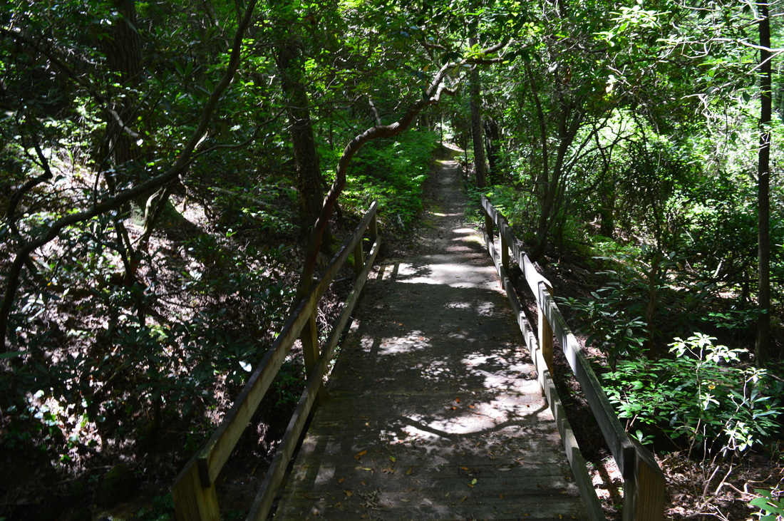
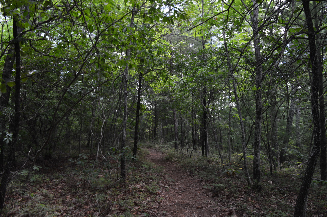
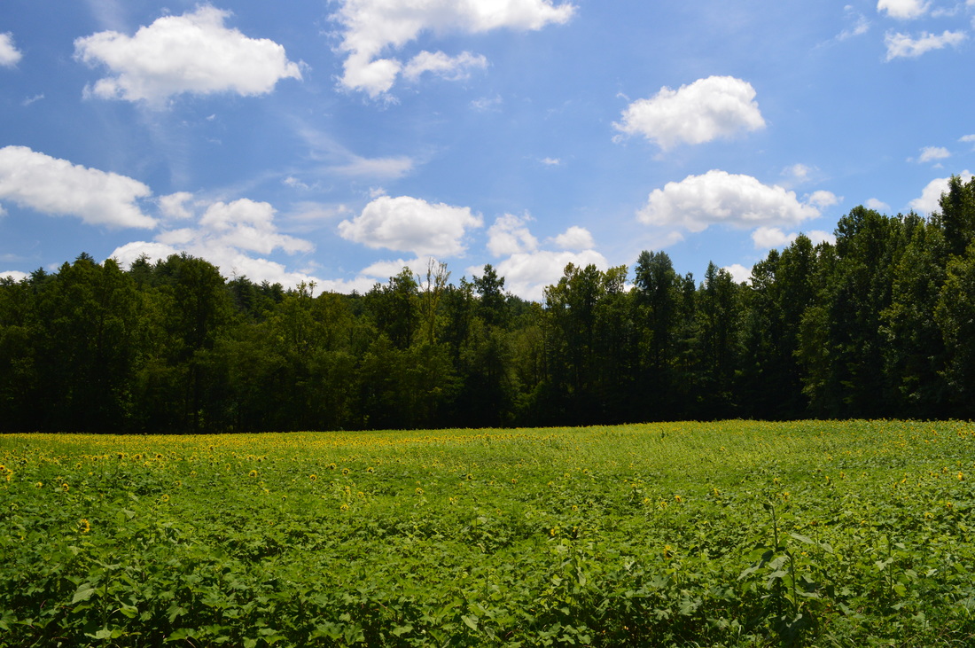
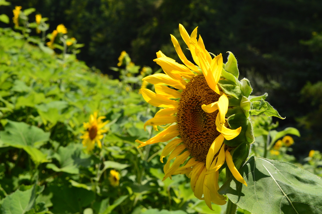
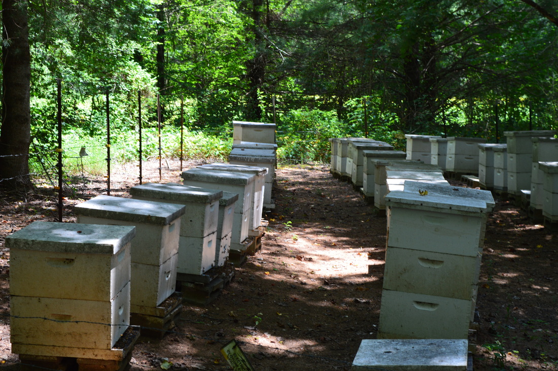
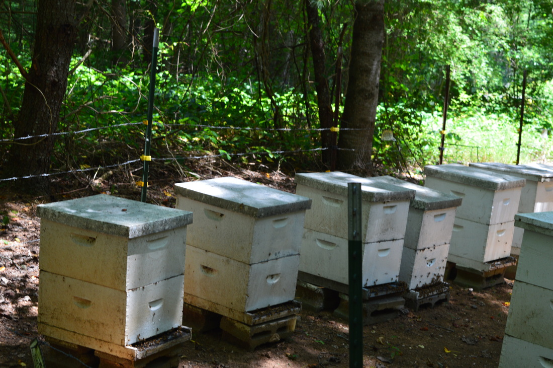
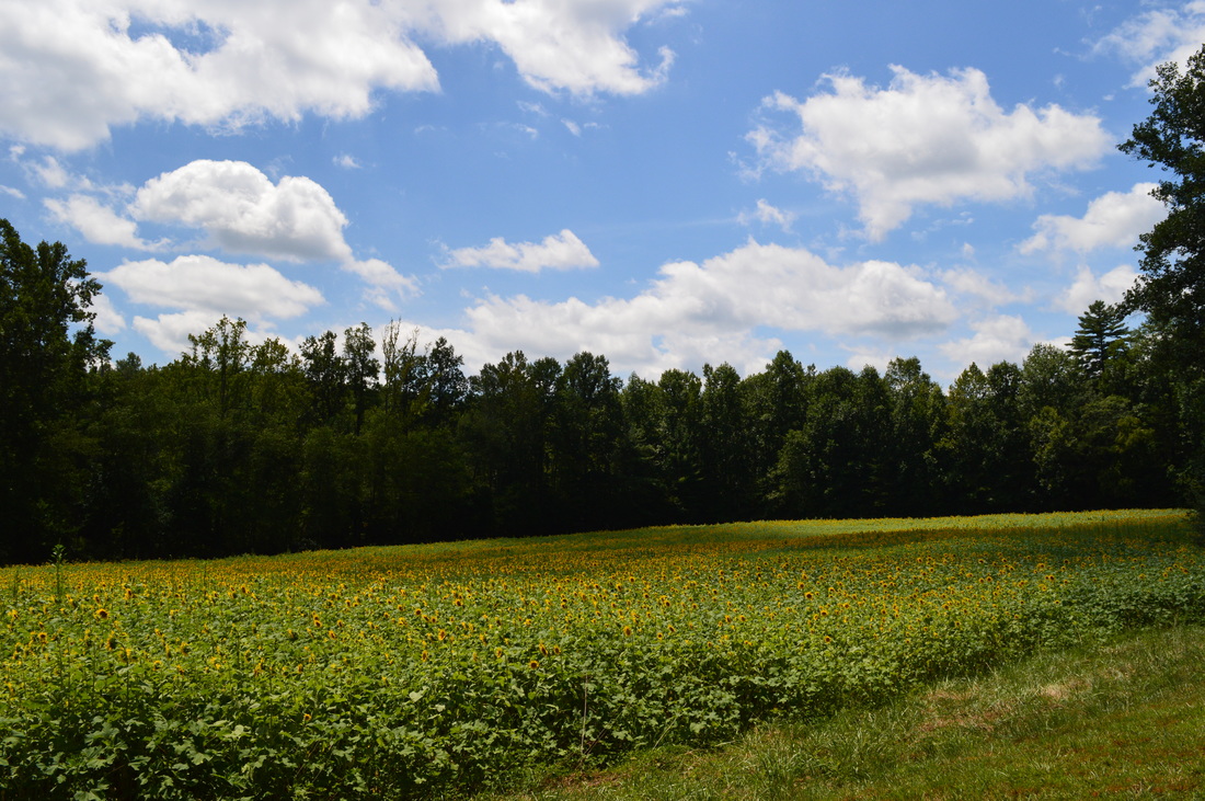
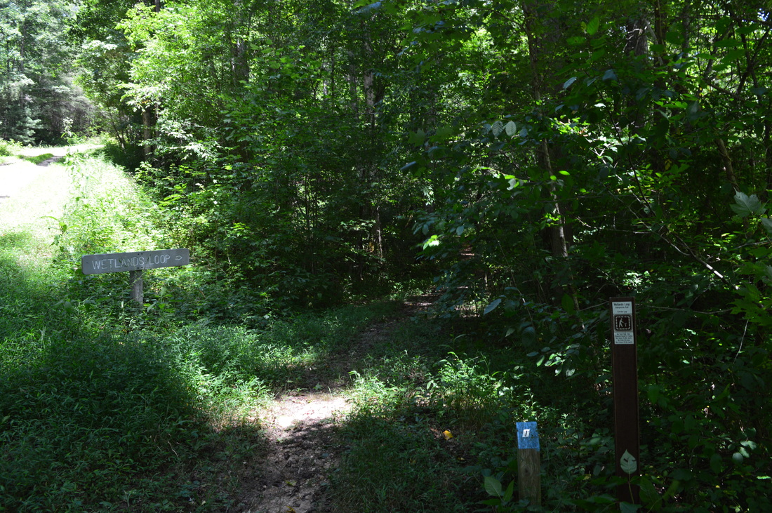
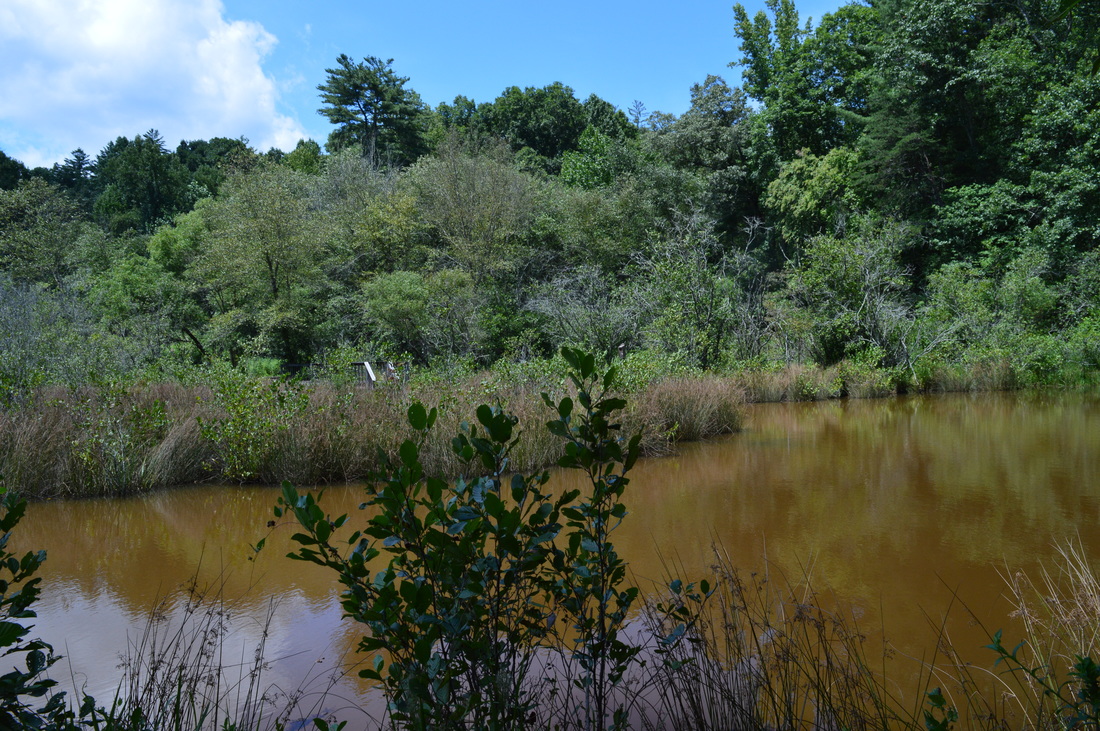
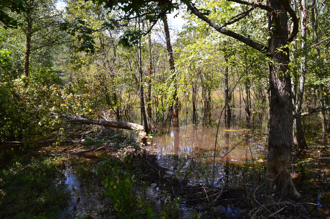
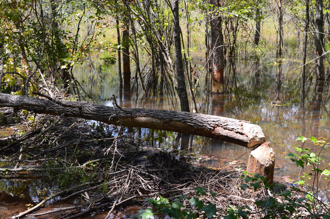
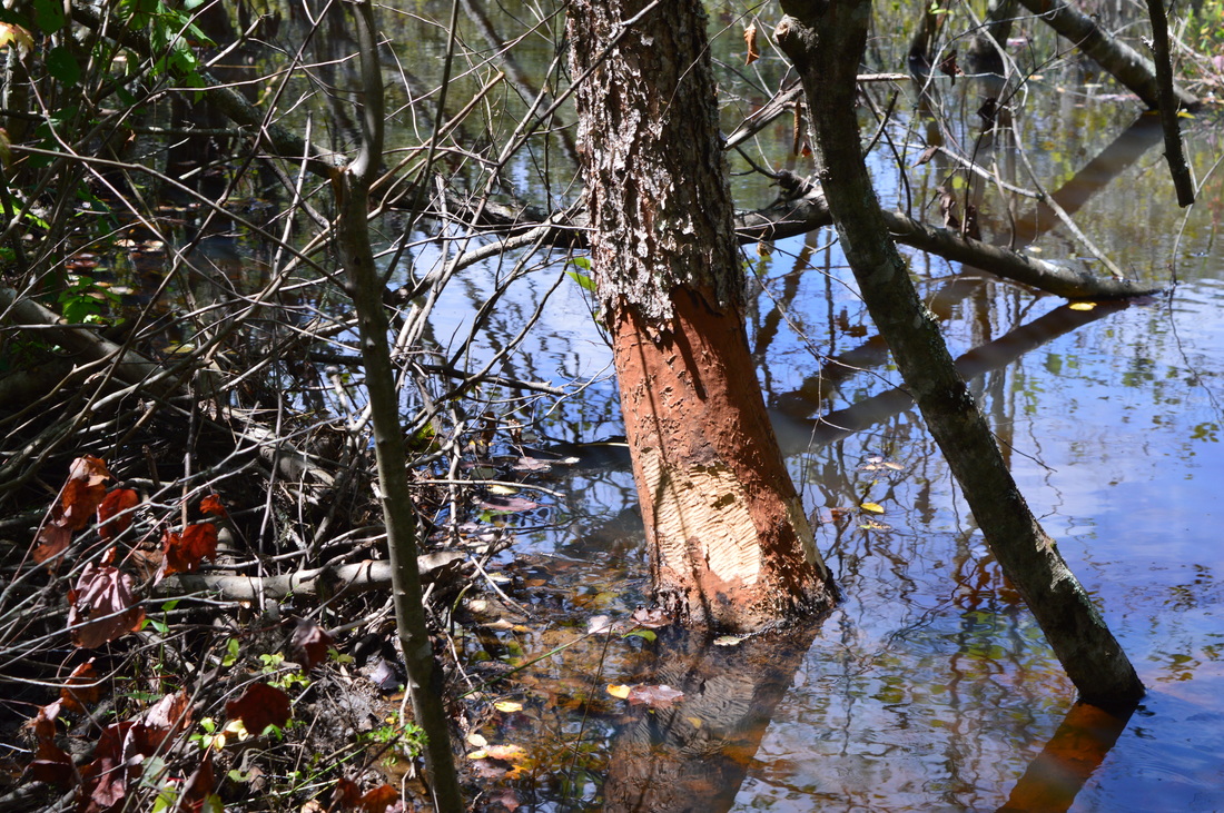
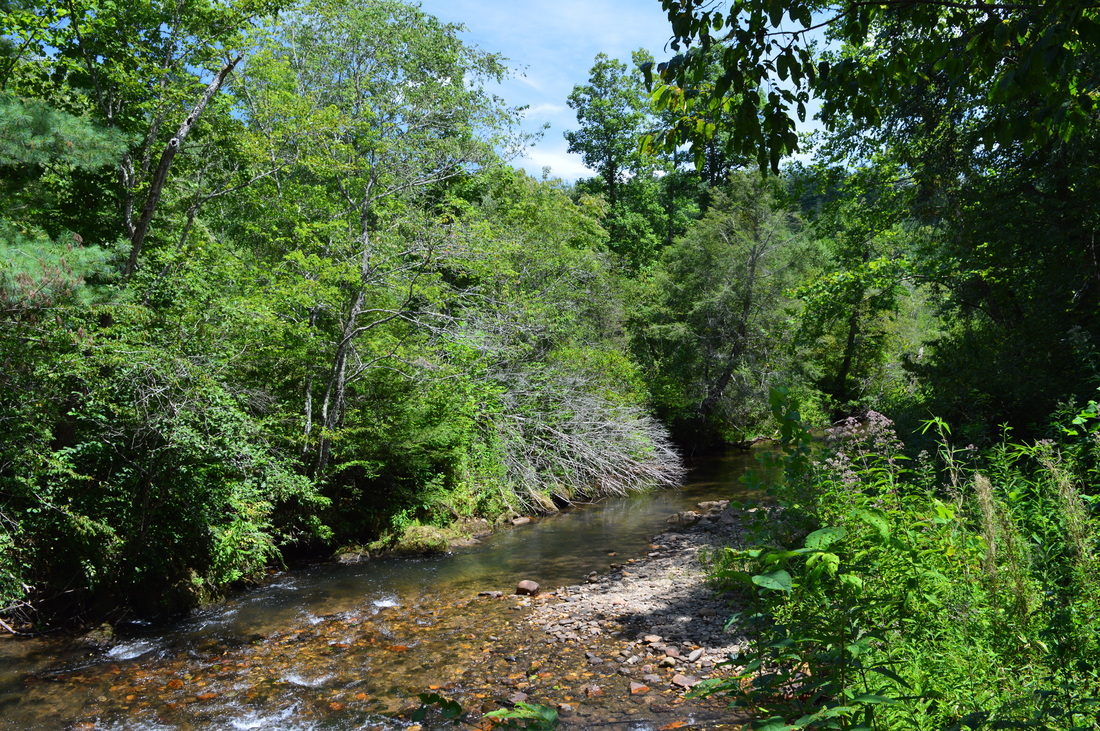
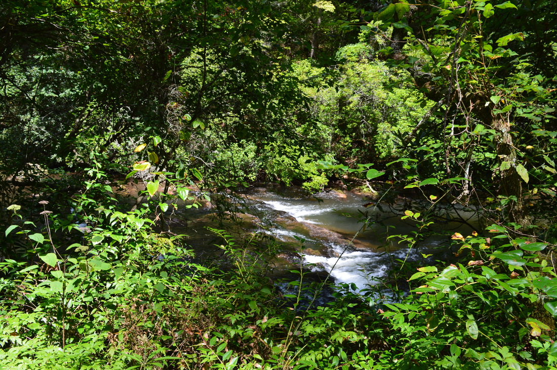
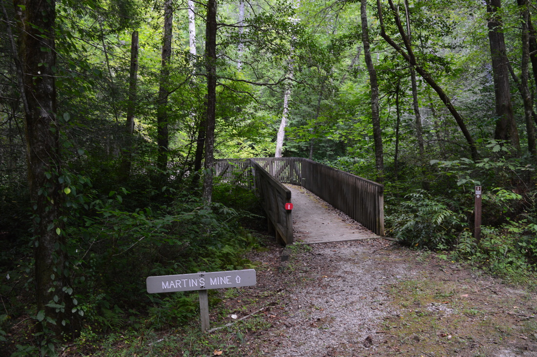
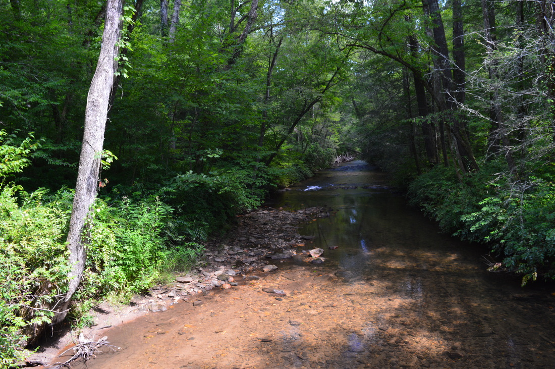
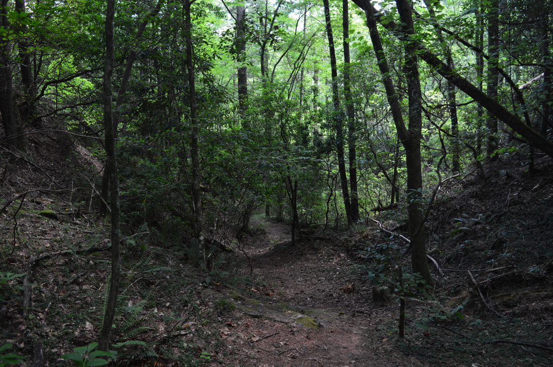
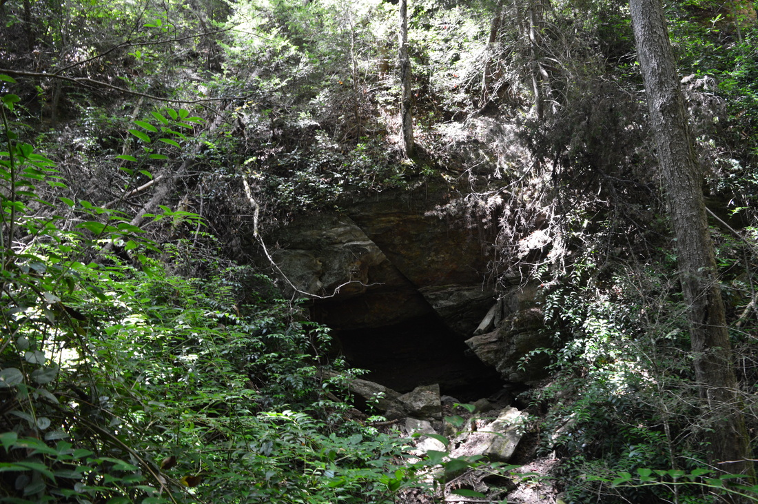
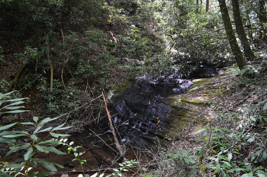
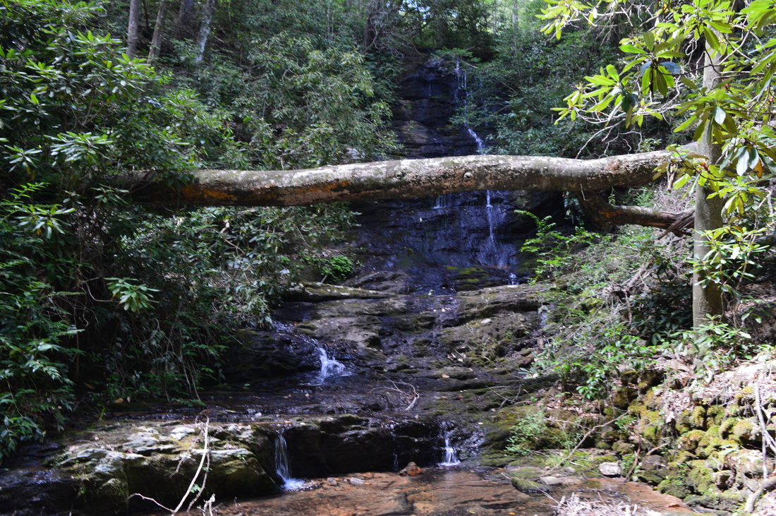
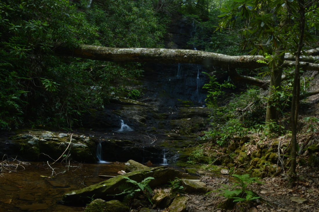
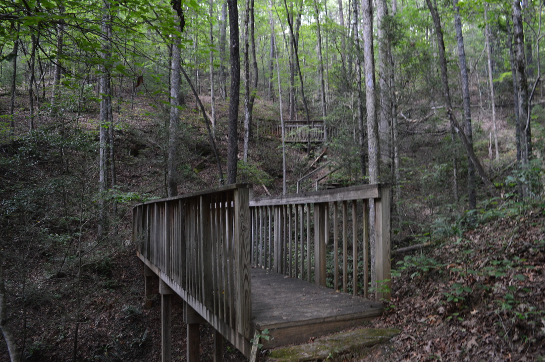
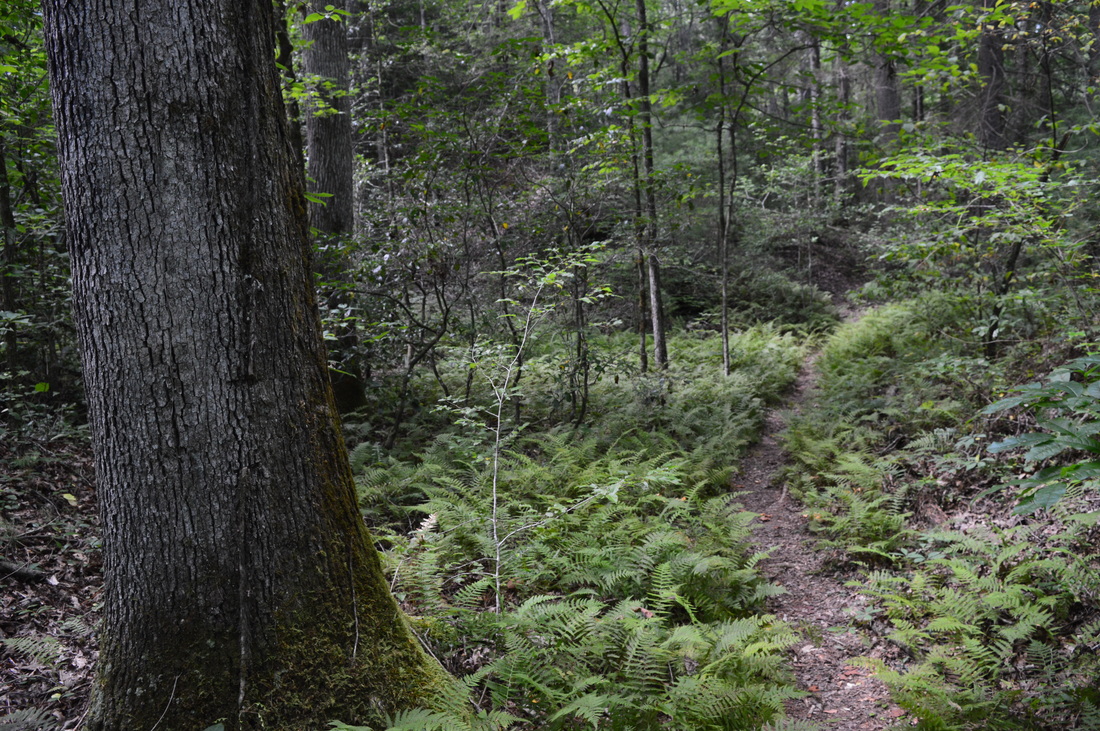
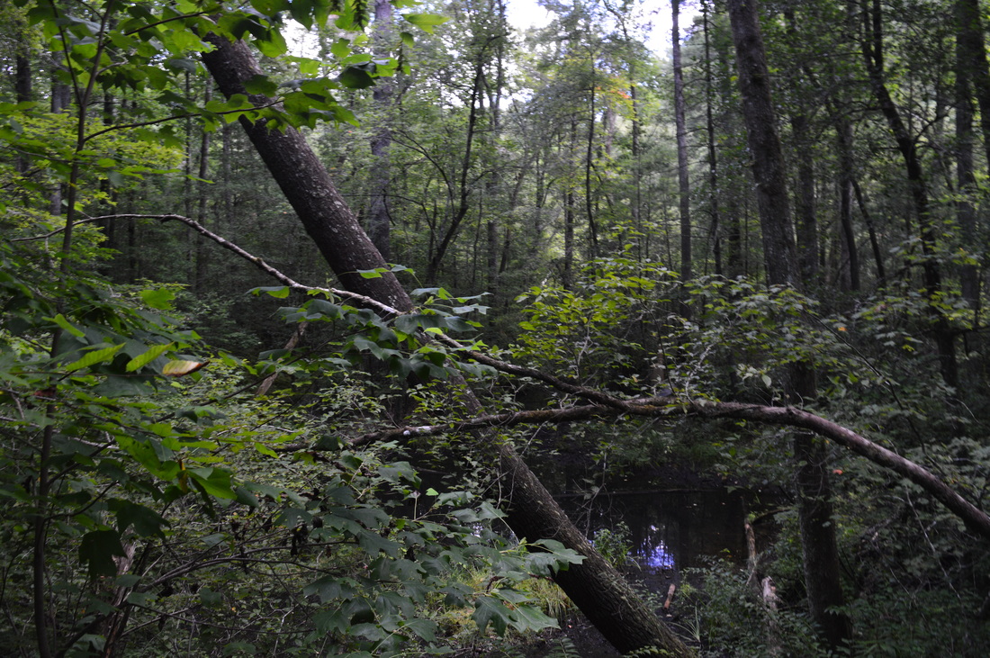
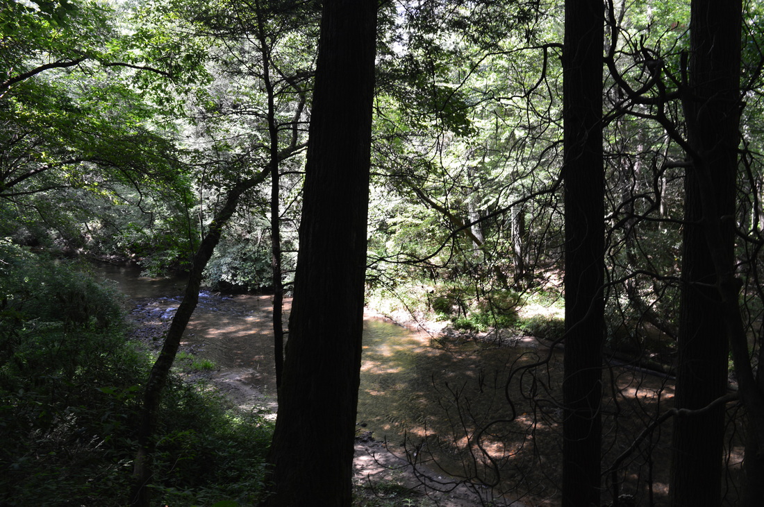
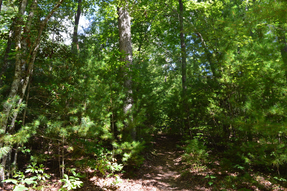
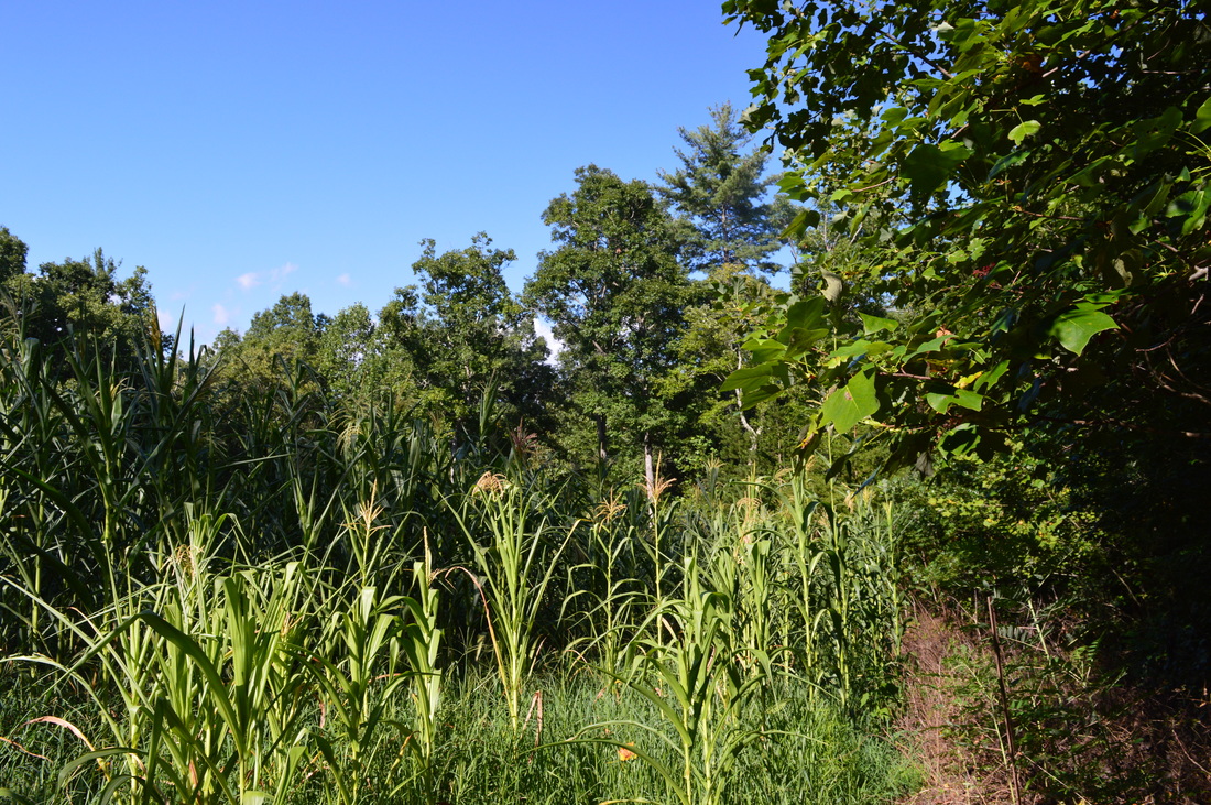
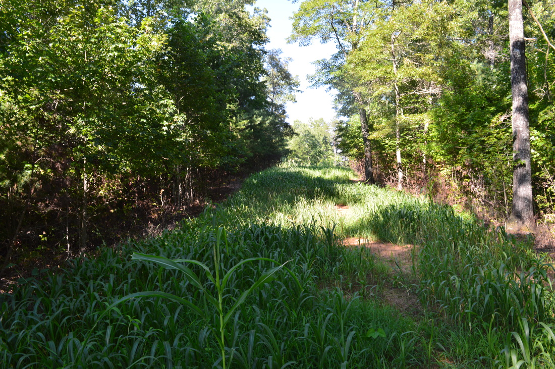
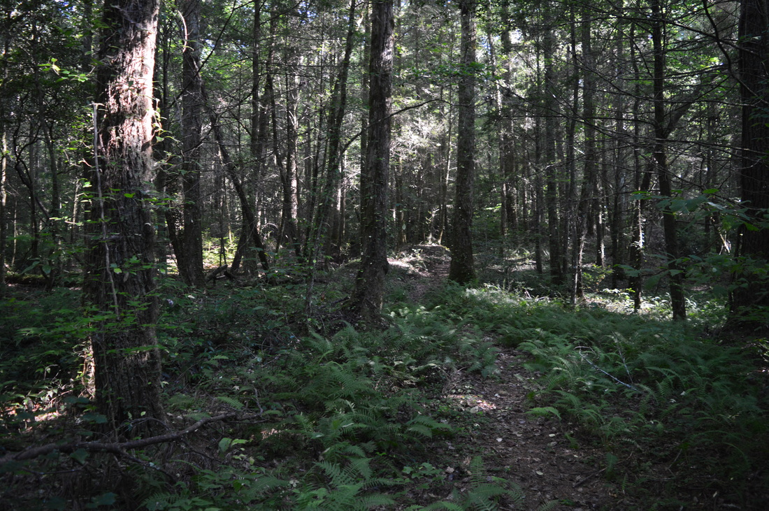
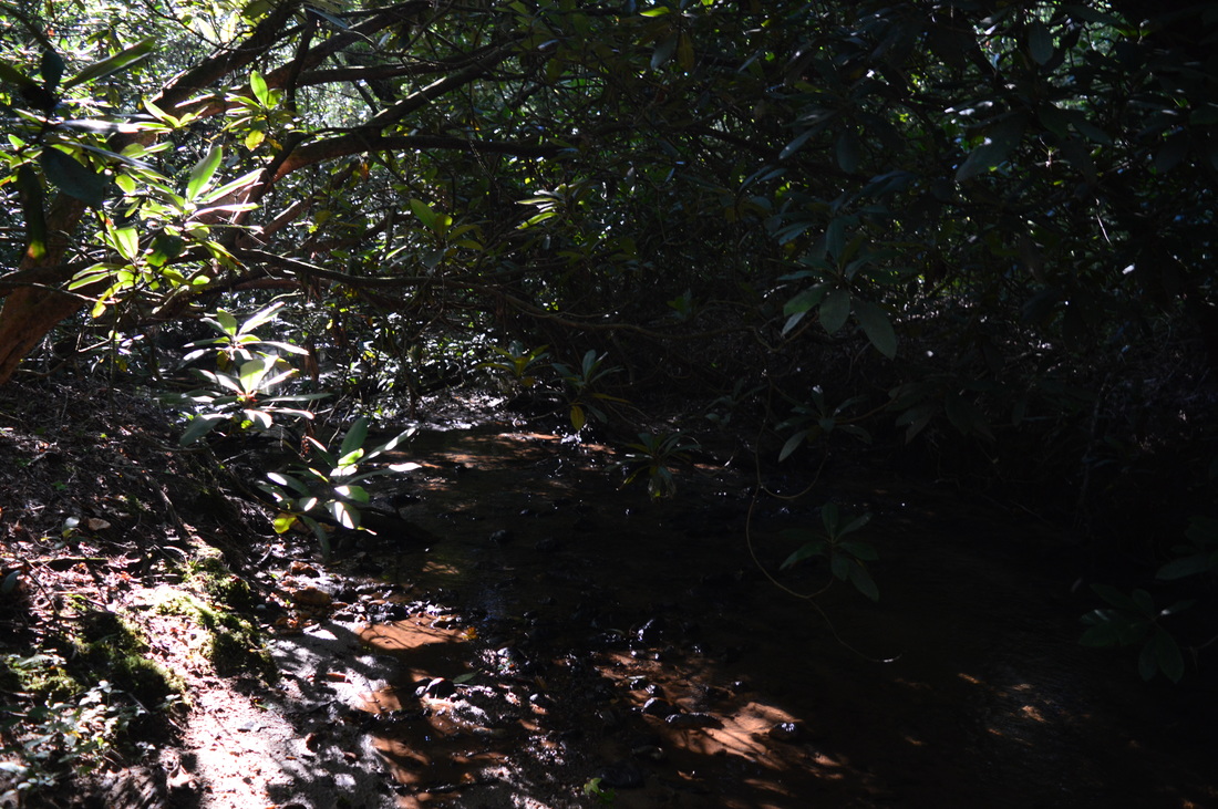
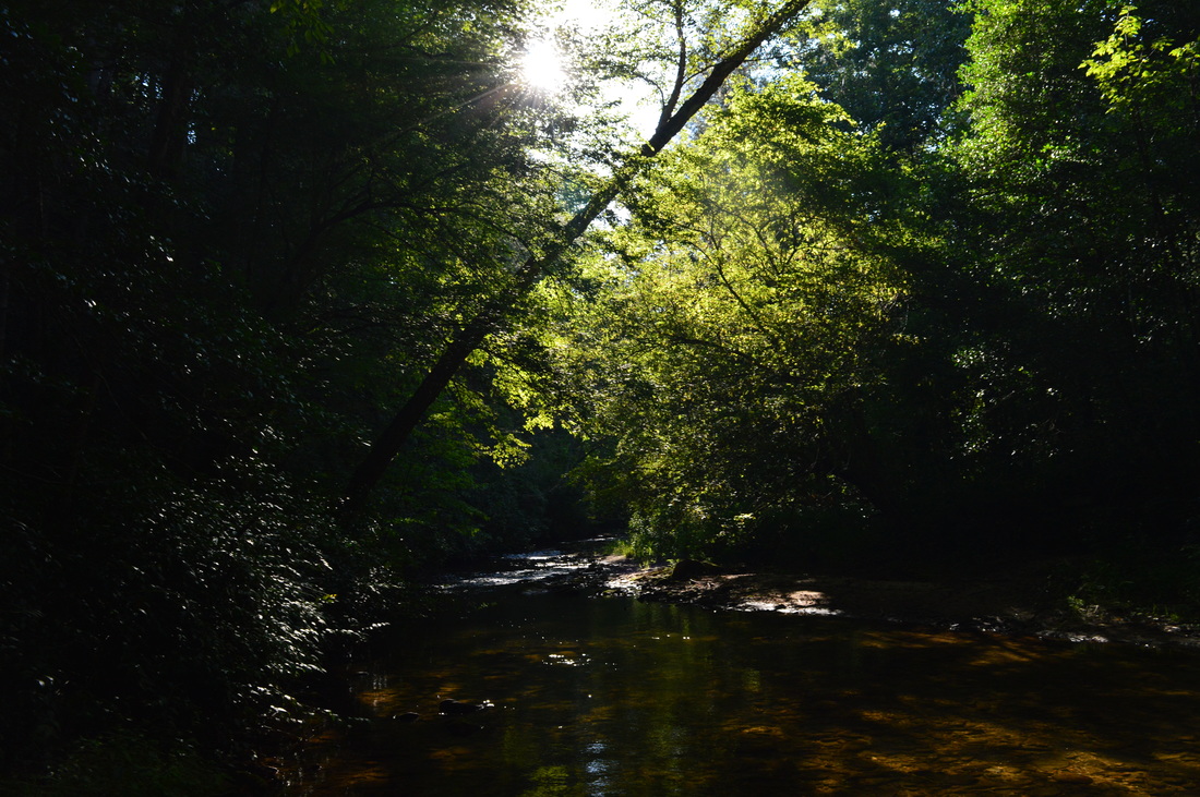
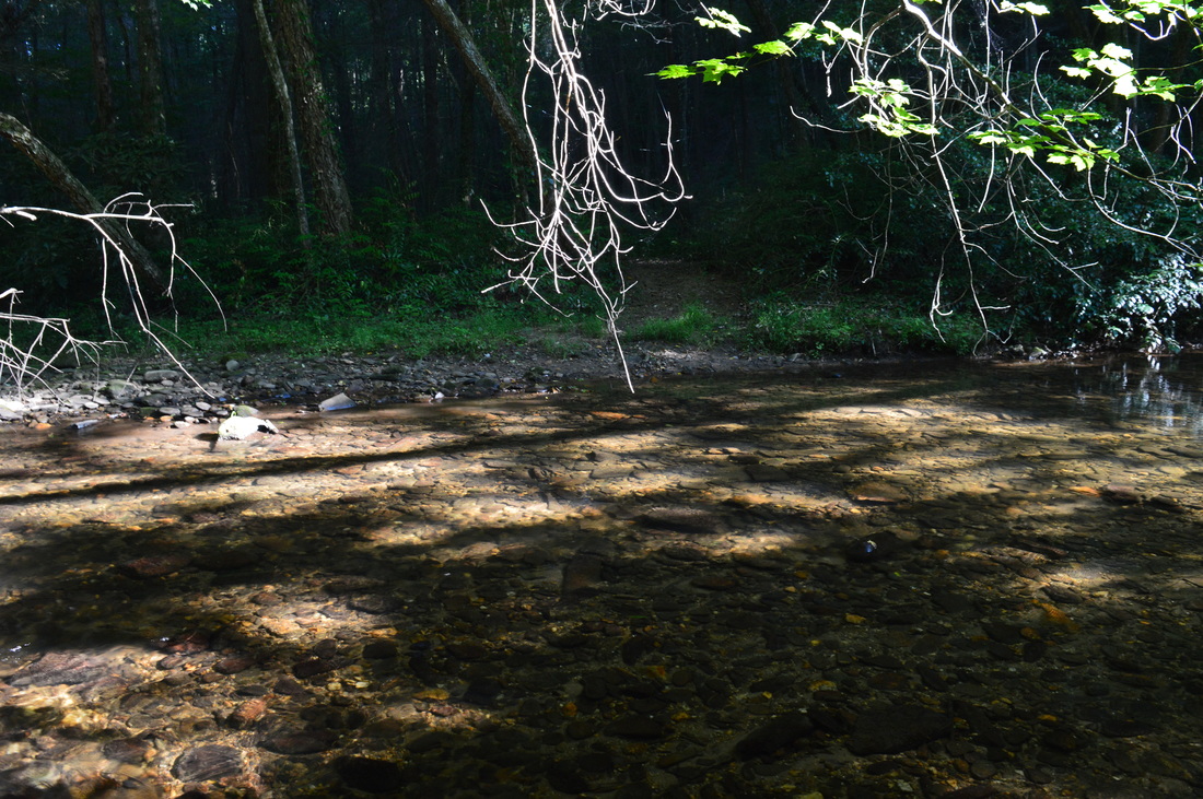
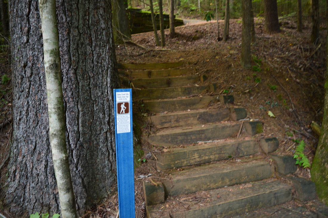
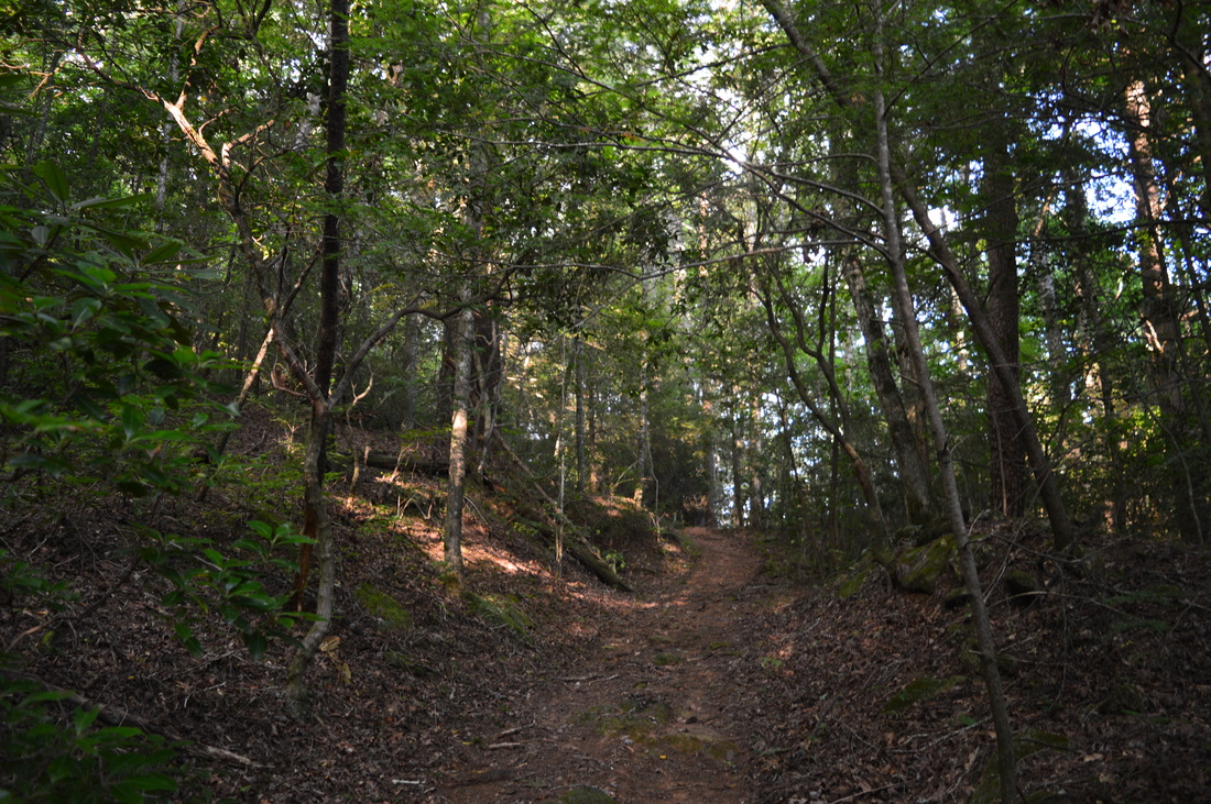
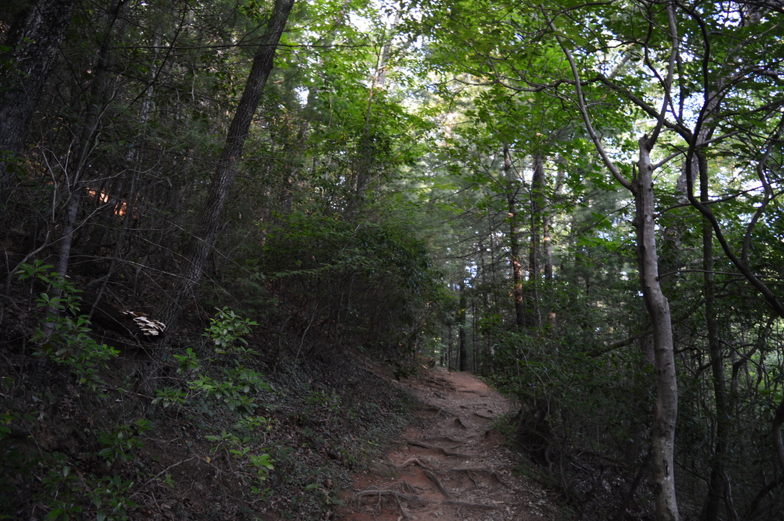
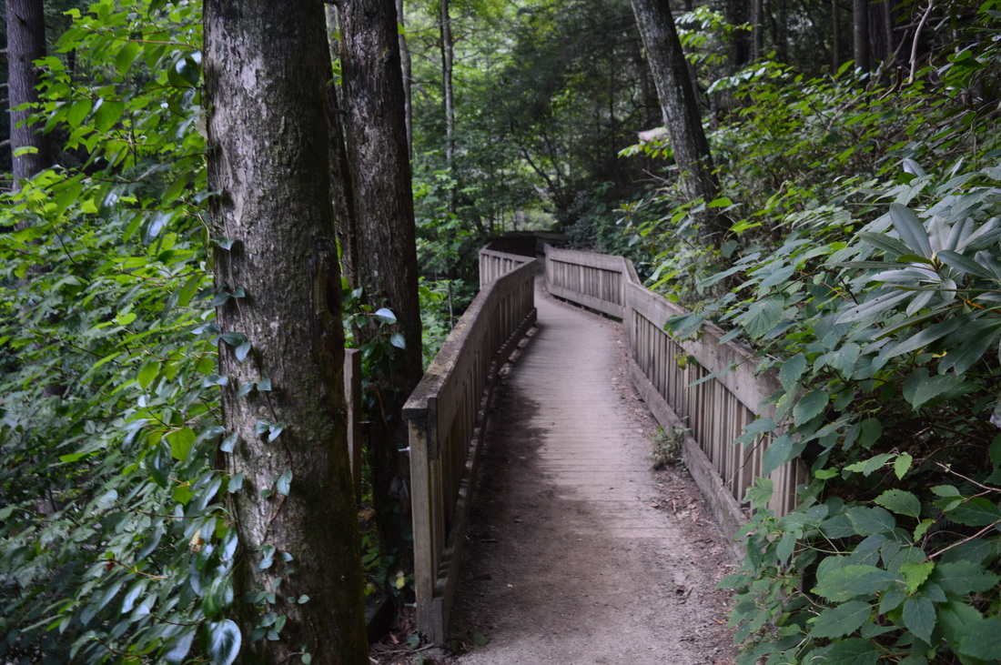
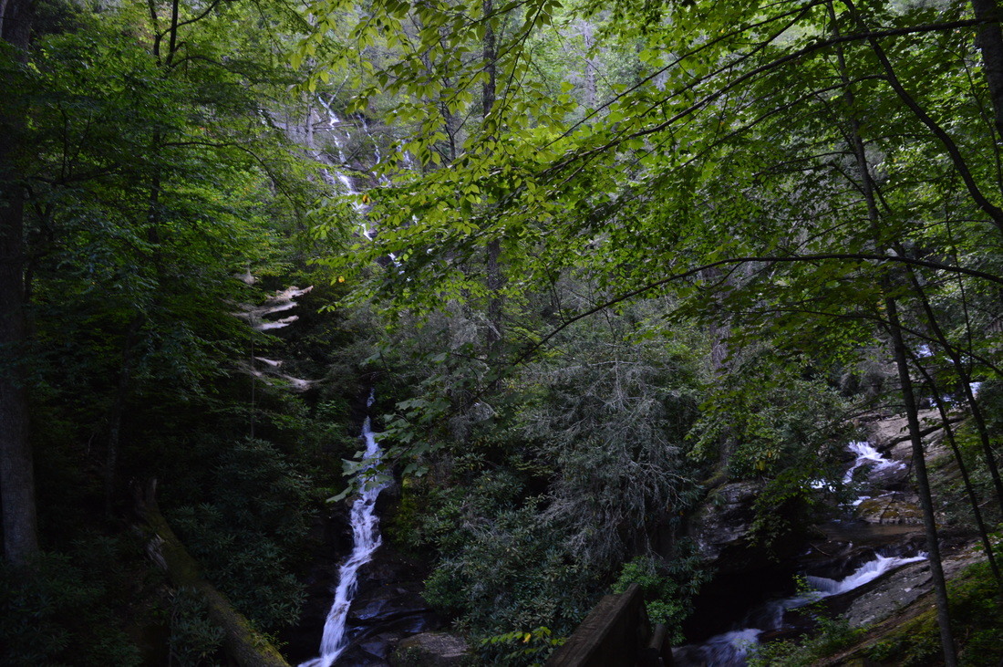
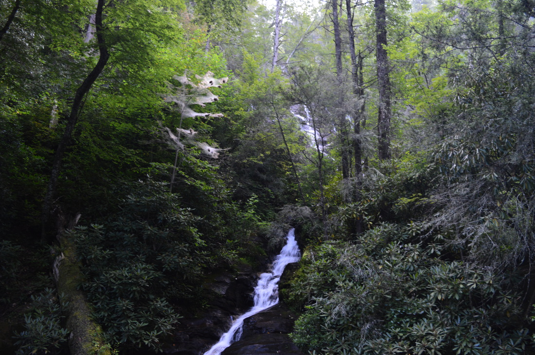
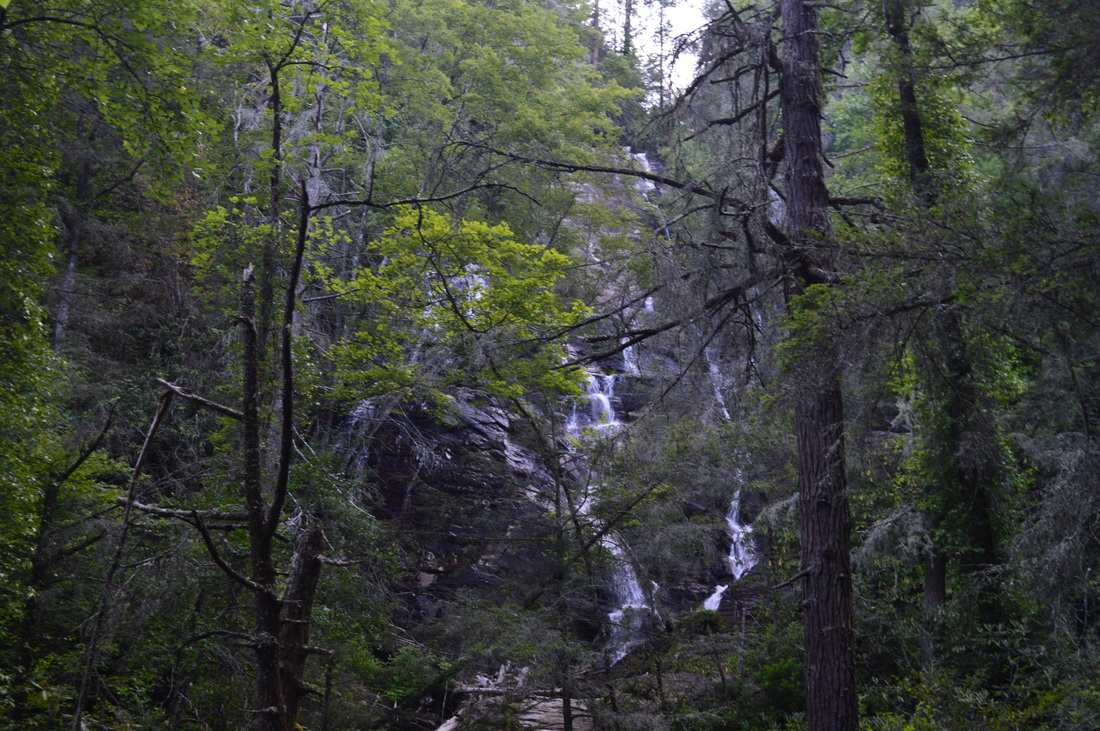
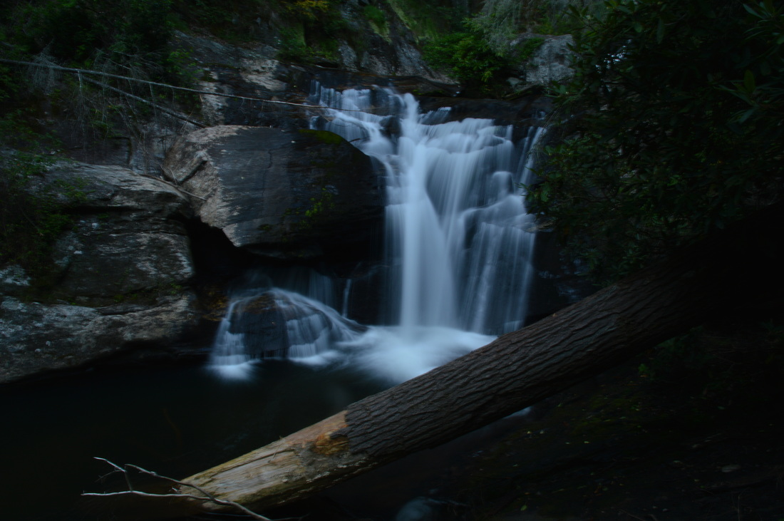
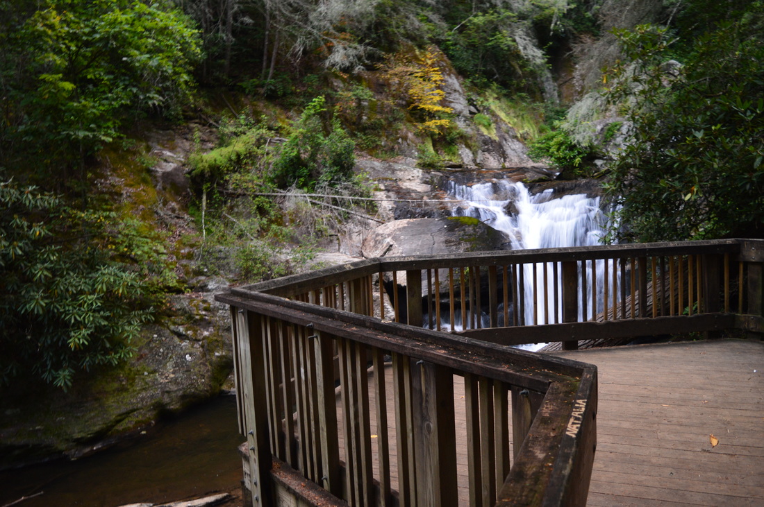
The hike starts on the Laurel Ridge Trail, the only trail that begins by the Visitor Center. Pass behind a fence, go through a small field, and cross a footbridge over a stream. Near the beginning, pass a picnic table on the right, and then, switchback two times onto a hill near the Visitor Center. You'll cross several footbridges over small streams before beginning an easy ascent up Laurel Ridge. Around 1 mile from the start of the hike, reach the top of Laurel Ridge. There are some winter views here. The trail stays on the top of the ridge before starting to descend moderately to Tsalaki Trail. At 1.3 miles, turn left. The trail used to continue straight on an obvious path, but for some reason, a new trail was built and the trail ends further up Tsalaki Trail now instead of at the Visitor Center. At 1.4 miles, following a couple switchbacks, the trail descends to Tsalaki Trail near a gap. If you turn right onto Tsalaki Trail, it's a 0.2-mile walk back to the Visitor Center. Otherwise, turn left, top the hill, and start descending towards Dukes Creek on the paved roadway. Pass a tract of private land to the right. At 1.8 miles, an unpaved road heads off to the right - it ends shortly. At this intersection, you'll find something unusual - a set of beehives inside an electrical fence. It's an interesting sight, but don't get too close. Also, if you walk just a little bit down the unpaved road, you'll reach the heart of a sunflower field. It's the first one I've ever seen, although it undoubtedly was planted here. Still, it's a sight that you shouldn't miss. Back on Tsalaki Trail, descend some more before reaching the lowlands by Dukes Creek, where the terrain is flat. Pass the end of the sunflower field that you just saw. At 2 miles, an unpaved road on the right, marked as "Fishing Access", is actually the northern terminus of the Ash Creek Trail. You'll find yourself finishing the Ash Creek Trail here later on. After the Ash Creek Trail, you will continue down Tsalaki Trail until Tower Road, reached at 2.6 miles. It is on the left side of Tsalaki Trail and it is marked by a sign. Tower Road is a long, unpaved road that eventually ends at Shackleford Road near the north boundary of the park. The Wetlands Loop Trail starts on Tower Road at the junction of Tower Road and Tsalaki Trail. Despite that it's called a "loop" trail, I didn't find it to be a loop - it simply ends just down Tsalaki Trail. The Wetlands Trail starts out as a clear singletrack path, and for a while, I was wondering where the "wetlands" were - the trail circled a small cove and then topped a hill. Here, there was a view of a small marsh just below. At 2.9 miles, a spur trail goes right to the edge of the marsh. Apparently, you can wade through the marsh to reach an observation platform in the middle of it - I couldn't identify any other access to it. Otherwise, return to the main trail and continue into a field. Here, at 3 miles, there is an interpretive sign about canebrake. After this interpretive sign, the trail reaches one of the most interesting things I've seen on any of my hikes - an actual beaver dam in the marsh. The trail crosses a marshy area, but thanks to the beaver dam, you will normally be able to keep your feet mostly dry here. Just walk on top of the beaver dam to the other side of the marsh, and watch out, because the marsh above the dam is deep! When I was here, I could see traces of beavers on a fallen tree, and there was another tree that was almost felled by beavers. This beaver dam is a must-see if you're hiking in the area. Beyond the beaver dam, reach Tsalaki Trail at 3.1 miles, and turn left onto it. You will immediately cross an old covered bridge over Dukes Creek. Just past the bridge, Tsalaki Trail turns unpaved. A dirt road goes right. While there is no sign, this is the southern terminus of Ash Creek Trail. My plan was to do the Ash Creek Trail on the way back. You will continue on Tsalaki Trail high above Dukes Creek in a narrower gorge before reaching the start of the Martin's Mine Trail at 3.9 miles. The trailhead is on the left side of the road just after a group shelter. The Martin's Mine Trail starts with a footbridge over Dukes Creek, which is quiet here (few rapids). On the other side of Dukes Creek is the start of the loop. Martin's Mine Trail is actually a double loop (a figure-8 loop) with a small loop and a large loop. The lower loop is the longer one. I decided to hike both loops clockwise, so turn left at the first junction. The trail briefly follows Dukes Creek before turning away from the creek and heading uphill. You will pass a couple entrances to the historic Martin's Mine, though the main entrance is not reached until around 4.2 miles. Here, an observation deck provides a view to a pit that is the main entrance shaft for Martin's Mine. After the observation deck, the trail descends to a footbridge over Hamby Branch and the site of Hamby Mill. Here is a junction with the upper loop that leads to Hamby Branch Falls. Immediately after the footbridge, turn left onto a faint path along Hamby Branch. You will pass lower Hamby Branch Falls, a slide that is usually just a trickle. At 4.3 miles, reach Hamby Branch Falls, visible on a short spur trail. This waterfall is fairly tall but it is almost always a trickle. You'll have to be here after a major rain event to appreciate the full beauty of the waterfall and the setting it is in. Following Hamby Branch Falls, the trail switchbacks and turns away from Hamby Branch. You will cross several footbridges and staircases that are certainly not necessary for you to navigate across these slopes. At 4.5 miles, finish the upper loop. Do not continue straight; turn left to continue the lower loop. Recross Hamby Branch on a footbridge and pass around a hill. Then, pass an observation area on the left. You can see a small pond here. After this, you will finish Martin's Mine Loop at 4.8 miles. Cross Dukes Creek on the same footbridge as you did earlier, and turn left on Tsalaki Trail once more. Your next destination is Cathy Ellis Trail. After the Martin's Mine Trailhead, Tsalaki Trail stays close to Dukes Creek until Shackleford Road at 5.2 miles. Shackleford Road goes left and eventually exits the park at Helen. After Shackleford Road, Tsalaki Trail leaves Dukes Creek for good. Tsalaki Trail temporarily becomes paved for a steep ascent up a ridge. Reach the top of the ridge at 5.4 miles. After this, descend to the start of Cathy Ellis Trail on the left at 5.5 miles. Cathy Ellis Trail leads to Chunanee Falls and it is also known as Chunanee Falls Trail. A second name for Chunanee Falls is Alabama Branch Falls. Cathy Ellis Trail starts off with a brief uphill, but before long, the uphill gives way to a long downhill. You'll pass Dogwood Group Shelter on the left at 5.6 miles. At 5.9 miles, the descent culminates at Dukes Creek at the bottom of the gorge. Briefly follow Dukes Creek and then curve right along Alabama Branch. Reach Chunanee Falls at 6 miles.This waterfall is pretty low-flow too, but it is picturesque. If you see this waterfall after periods of rain, I'm sure it'll look amazing. After viewing Chunanee Falls, retrace your steps back to Tsalaki Trail, reaching it at 6.5 miles. In fact, you've finished your eastward trek along Tsalaki Trail. It's time to return west along Tsalaki Trail. Your next destination is Ash Creek Trail. Retrace your steps along Tsalaki Trail and reach the southern terminus of the Ash Creek Trail at the covered bridge at 7 miles. Turn left onto the gravel road that serves as the start of the Ash Creek Trail. At 7.1 miles, the Ash Creek Trail turns off the unpaved road onto a dirt road. The Ash Creek Trail ascends steeply along the road onto a ridge. At the top of the ridge, you will enter a long field of what I believe is corn. This is a confusing place. The trail seems to go through the center of the field, but you can't do that since it is totally overgrown, so try to maneuver along the west edge of the field. At the other end of the field. rejoin the actual trail. You will pass through more corn, but here, it's still young. Then, bear left on the old road below the top of the hill, and continue a gradual ascent. At 7.8 miles, reach the high point. Here, turn right and descend steeply to Ash Creek. At 8.1 mile, cross or ford Ash Creek, depending on the water level. When I did this hike, the water levels were low enough to rock hop, but the water levels were below normal at that time. After the crossing of Ash Creek, you will ascend for 0.2 miles at an easy grade, and then descend moderately to steeply. At 8.5 miles reach Dukes Creek. You will get wet feet here most of the time, but during normal water levels, it is a shallow ford, with water typically not getting high above your ankles. Cross the creek diagonally and continue on an old road. Shortly, turn left and bend around the corner of a corn field. At 8.6 miles, reach the northern terminus of the Ash Creek Trail at Tsalaki Trail. Turn left on Tsalaki Trail to return to the Visitor Center. You'll reach the Visitor Center at 9.2 miles. This is a good place to end the hike, since you're back at where you started. However, I decided to spice up this hike by also visiting Dukes Creek Falls. Most people who hike to Dukes Creek Falls do it from the trailhead on GA State Route 348. However, there's another route that leads to Dukes Creek Falls - a route that is rarely used as it starts by the Smithgall Woods streamside cabins. These cabins are not accessible by car, unless you're a guest. Thus, you have to walk the road that leads to the cabins for 2 miles from the Visitor Center. From the Visitor Center, follow the entrance road, cross busy Alt GA State Route 75, and continue down the paved road that leads to the cabins. While this is roadwalk, it is scenic - the road closely follows Dukes Creek with many views of picturesque cascades and slides in the creek. At 11 miles, after 2 cabins, reach a fork in the road. The main road bears left t the 3 other cabins. However, keep straight. Nearly right away, keep a close eye out for a small trail marker on the right side of the road. It reads "Dukes Creek Falls Access Trail". Turn right here, ascend up some steps, and begin an easy uphill on a wide trail. You'll continue a gradual ascent on an unmarked trail. Dukes Creek can be heard far below - there are some winter views of Dukes Creek gorge, At 11.9 miles, reach the main Dukes Creek Falls Trail. The trail heads both uphill and downhill here - it is a U-shape turn on the main trail here, and the trail you were on reaches the main trail in the middle of the U. Bear left on the Dukes Creek Falls Trail (heading downhill). Descend to Dukes Creek, enter a boardwalk, and reach the various observation areas for Dukes Creek Falls at 12.1 miles. This is one of the most spectacular waterfalls in north Georgia. Go in the winter or early spring after a good rain and you'll see the entire, tall waterfall, and the cascades closer to the observation area will be running at full force. Even though the waterfall and cascades were impressive on this visit, they were extraordinarily powerful on my first visit o Dukes Creek Falls 2 years ago. From Dukes Creek Falls, retrace your steps back to the Smithgall Woods Visitor Center. You should reach it at 14.9 miles. Variations
Hike just the main trail system without Dukes Creek Falls - 9.2 Miles
Lots of other variations are possible. Consult the park map for details. Bonus Stops
Pictures
1 Comment
8/3/2022 05:51:47 pm
Edirne ECA servisi hizmetlerimiz memnuniyet odaklıdır. Detayları incelemek için hemen web adresimize göz at! https://www.edirneklimaservisi.com/edirne-eca-servisi/ Leave a Reply. |
About MeMark Oleg Ozboyd Dear readers: I have invested a tremendous amount of time and effort in this website and the Georgia Waterfalls Database the past five years. All of the work that has gone in keeping these websites updated with my latest trip reports has almost been like a full-time job. This has not allowed me to pick up a paid job to save up money for college, and therefore, I I've had to take out loans. If you find the information on this website interesting, helpful, or time-saving, you can say "thanks" and help me out by clicking the button above and making a contribution. I will be very grateful for any amount of support you give, as all of it will apply toward my college tuition. Thank you!

Coming in 2022-2023?
Other Hiking WebsitesMiles HikedYear 1: 540.0 Miles
Year 2: 552.3 Miles Year 3: 518.4 Miles Year 4: 482.4 Miles Year 5: 259.9 Miles Archives
March 2021
Categories
All
|


 RSS Feed