Blood Mountain Wilderness: Slaughter Creek Loop and Blood Mountain via Freeman Loop, Suches, Georgia12/20/2016 
Blood Mountain is one of the best-known mountains in Georgia for a variety of reasons, including the ease of access to the great views from the several rock slabs near the summit of the peak. The easiest approach to the top is from Highway 129, but several other trails, in addition to the Appalachian Trail itself, are found in the vicinity of Blood Mountain. Two such trails - the Jarrard Gap Trail and Slaughter Creek Trail - leave the Lake Winfield Scott Recreation Area and access the AT west of Blood Mountain. Another trail, the Freeman Trail, winds around hollows on the south side of Blood Mountain, providing a tricky passage through numerous boulder fields. You'll walk all of these trails as you hike to Blood Mountain using the "back way". This hike occurred on Saturday, October 15th, 2016. My plan was to hike the Jarrard Gap Trail from Lake Winfield Scott to the Appalachian Trail, from where I would follow the AT to the Freeman Trail, taking the spur trail to Woods Hole Shelter. Then, I would take the Freeman Trail around the south side of Blood Mountain, before meeting the Appalachian Trail again and following it to the top of Blood Mountain. I would finish the hike by descending on the Appalachian Trail to the Slaughter Creek Trail and taking the Slaughter Creek Trail back to Lake Winfield Scott.
Summary
R/T Length of Trail: 10.6 Miles
Duration of Hike: 6:50 Type of Hike: Loop Difficulty Rating: 6 out of 10 Total Elevation Gain: 2460 Feet Pros: You will not see many people throughout most of this hike, despite the popularity of Blood Mountain itself, due to the fact that your approach is along the back route Cons: The Blood Mountain summit and overlook areas can be very crowded; some trees slightly limit the views from Blood Mountain Points of Interest: Three Overlooks on Blood Mountain - collectively 7 stars Trail Blaze Color(s): Jarrard Gap Trail - Blue; Woods Hole Shelter Spur Trail - Blue; Slaughter Creek Trail - Blue; Freeman Trail - Blue; Appalachian Trail - White Best Season(s) to Hike: Year-round Fees: The day use fee for Lake Winfield Scott Recreation Area is $5 per vehicle per day. Beginning Point: Lake Winfield Scott Recreation Area Directions from Suches, GA: In Suches, take GA State Route 180 East from the intersection of Route 180 and Route 60, and follow it for 4.4 miles. Then, turn right onto Lake Winfield Scott Road. Shortly enter the recreation area and pay your fee at the entrance station. 0.6 miles from Route 180, a long pullout on the left side of the road serves as the parking area for the Jarrard Gap Trail and Slaughter Creek Trail, both of which begin in conjunction on the right side of the road just past the Slaughter Creek road bridge. Map
Click here for more information and to download this trail map to view in Garmin Basecamp.
Details
A number of years ago, I had hiked the Freeman Loop to Blood Mountain using the Byron Herbert Reece Trail approach. That was when I did not even own a camera, though, and for a long time, I had been meaning to make a second hike to Blood Mountain. I finally had the opportunity to visit the grand rock slabs on the mountain's summit for a second time on this great October day, but this time, I decided to use the "back route" to get to Blood Mountain, which is either the Jarrard Gap Trail or Slaughter Creek Trail from Lake Winfield Scott Recreation Area. On this hike, my plan was to combine two loops - Slaughter Creek Loop and Freeman Loop - on my way to Blood Mountain.
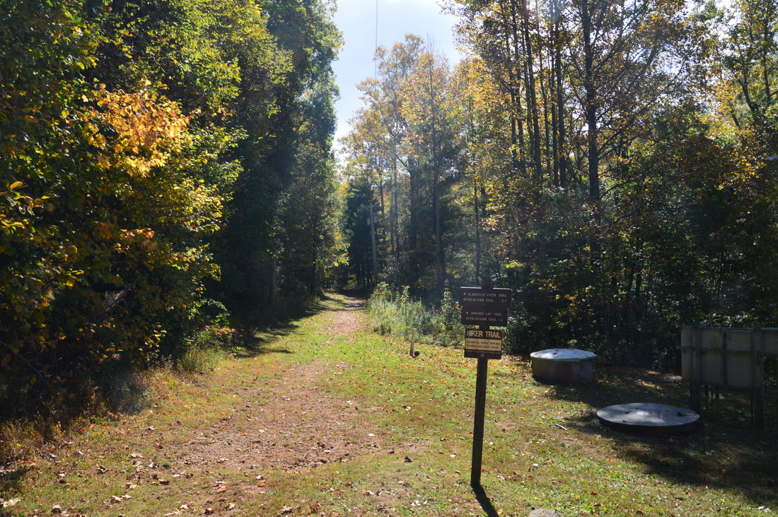
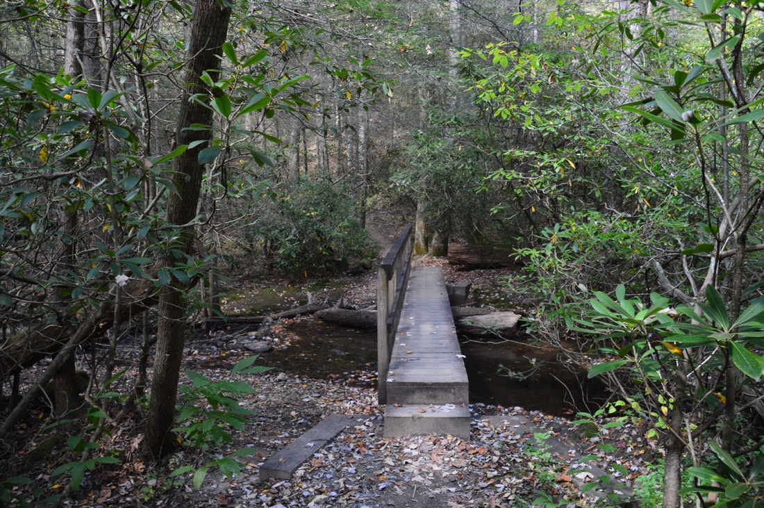
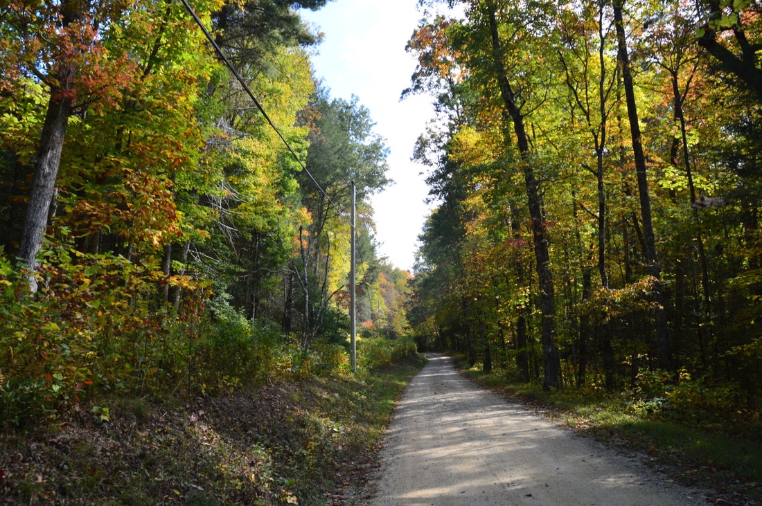
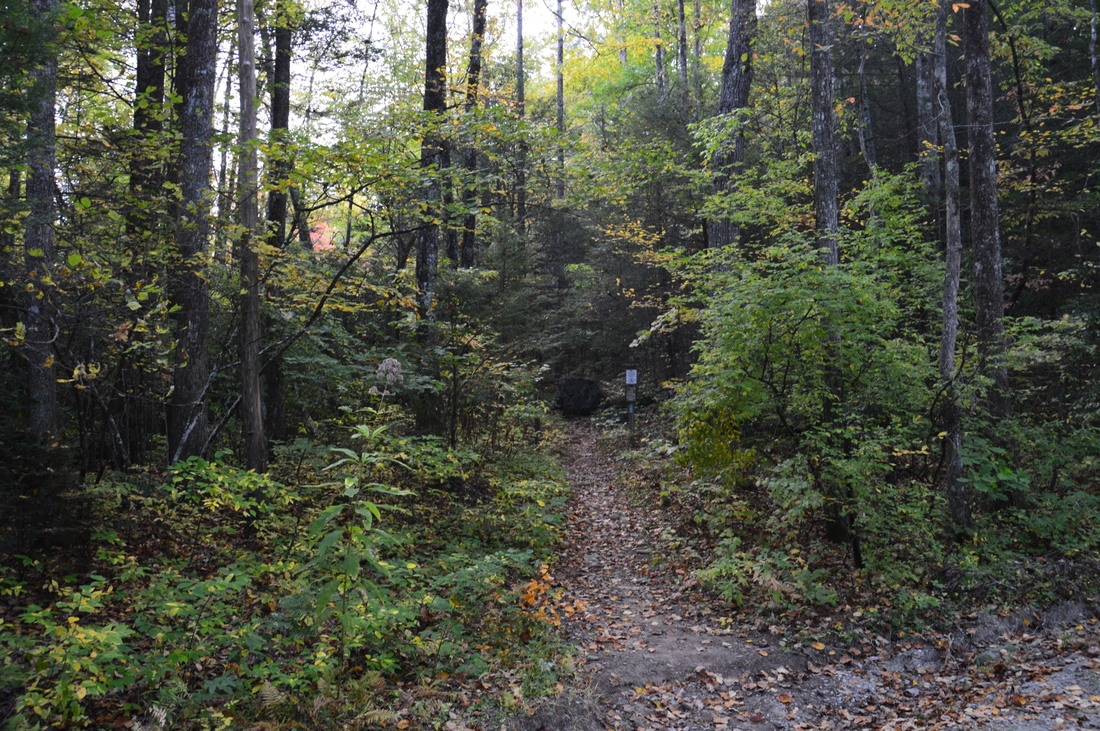
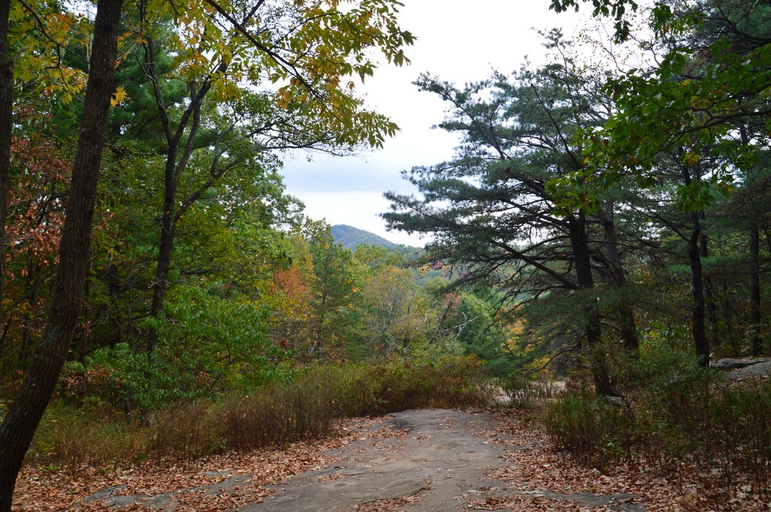
The hike begins at the main trailhead in the Lake Winfield Scott Recreation Area, which serves as the start of both the Jarrard Gap Trail and Slaughter Creek Trail. The signed trail begins at a minor powerline cut and follows this cut not far from Slaughter Creek. The broad trail doesn't last long, as at 0.15 miles, both trails (which are still running in conjunction) turn left onto a narrower footpath along Slaughter Creek. Do not take the footbridge that crosses Slaughter Creek straight ahead; I believe that it leads to another access point. At 0.25 miles, the trail crosses Slaughter Creek using a footbridge. 200 feet later, following a kiosk, the Slaughter Creek Loop begins. The Slaughter Creek Trail continues straight across Jarrard Gap Road, while the Jarrard Gap Trail turns right onto the gravel road. To hike the loop clockwise, Passing some private property near the road, follow the road until a split where another road leaves to the right. Bear right, cross Lance Branch on the road bridge, and then pick up the Jarrard Gap Trail at a sign to the left at 0.5 miles. The rest of the Jarrard Gap Trail is a forested ascent to the Appalachian Trail. Cross the two forks of Lance Branch at 0.9 miles and 1.05 miles, both of which were dry on this day. At 1.2 miles, the Jarrard Gap Trail reaches a forest road. Here, turn right, and shortly afterwards - at 1.25 miles - arrive at the terminus of the Jarrard Gap Trail in Jarrard Gap at the Appalachian Trail. 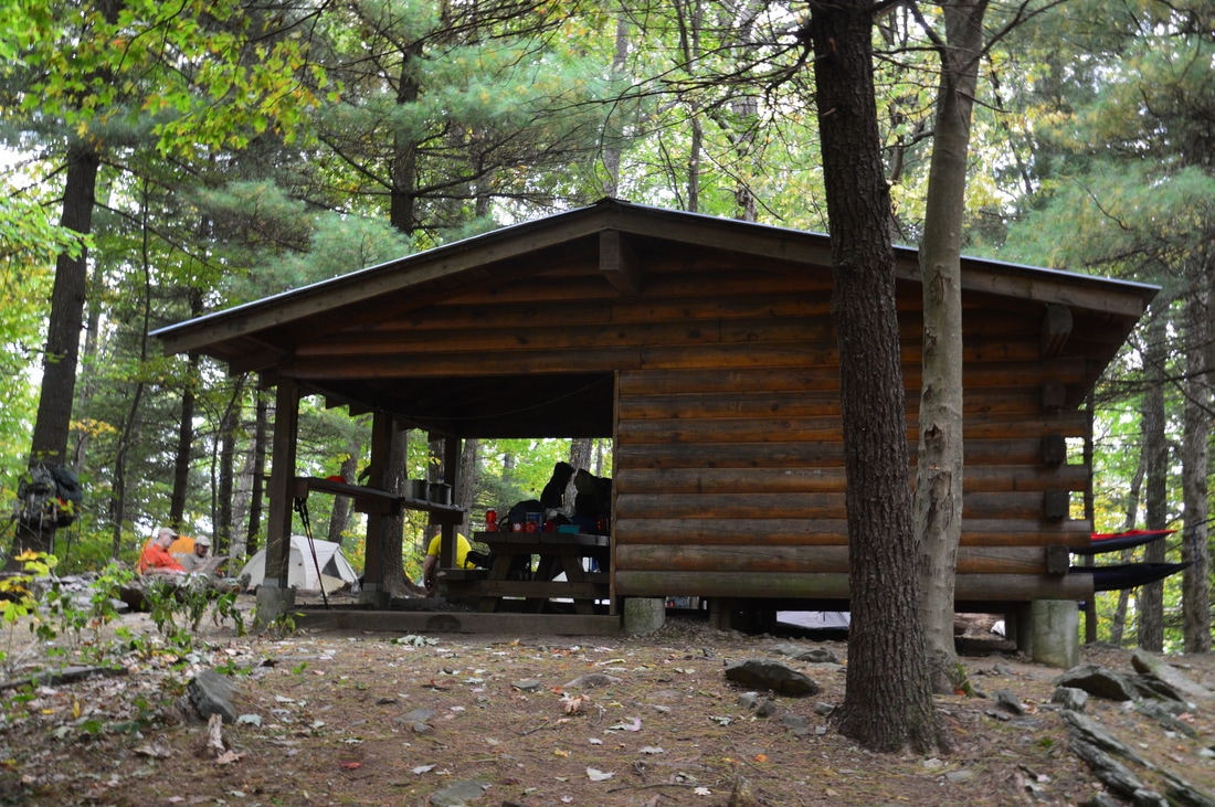
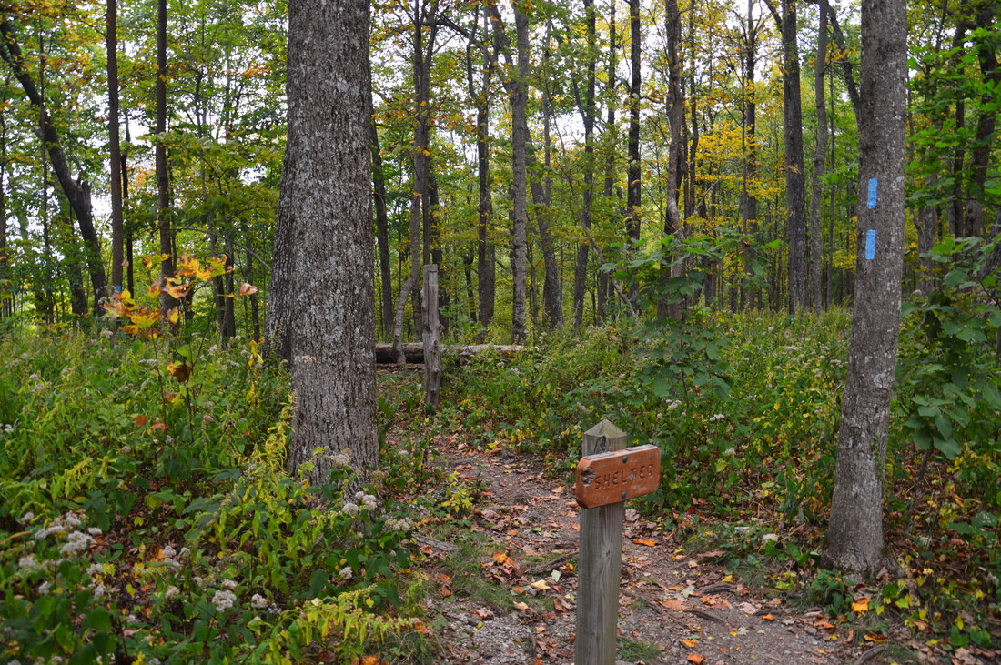
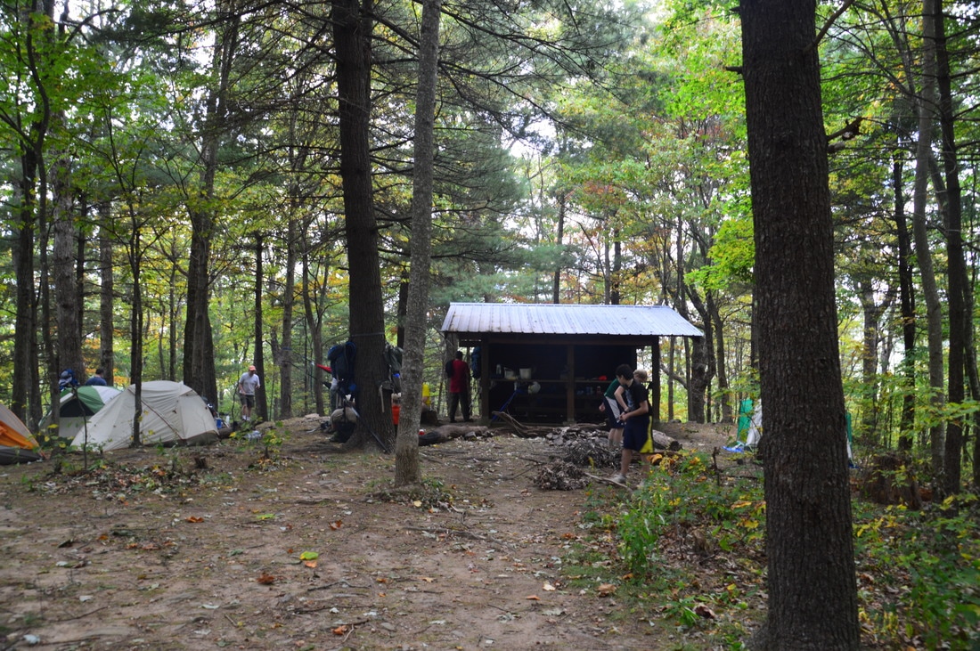
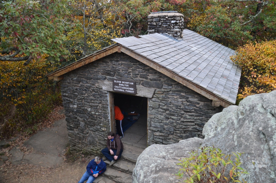
The Woods Hole Shelter is a typical Georgia AT shelter.
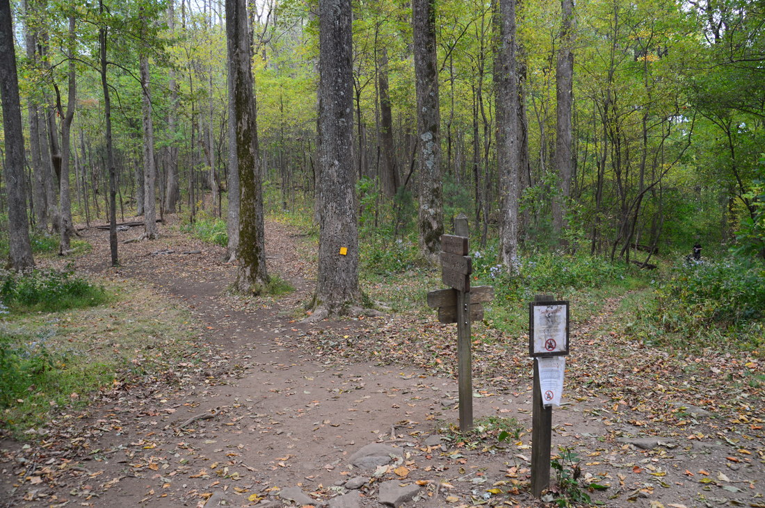
From Jarrard Gap, a right turn on the Appalachian Trail will take you southbound towards Big Cedar Mountain and Woody Gap. However, this hike turns left onto the AT towards Blood Mountain. Passing a number of campsites in the vicinity of Jarrard Gap, the AT ascends Gaddis Mountain using an easy to moderate grade. The trail skirts the summit at 1.7 miles, and then descends to Horsebone Gap at 1.9 miles. Enter the Blood Mountain Wilderness area here. Another ascent brings the AT up Turkey Stamp Mountain, although the trail passes around the summit of this rise as well. At 2.7 miles, the Appalachian Trail reaches Bird Gap. Here, a spur trail to Woods Hole Shelter leaves to the left, and just ahead, the Freeman Trail splits off to the right. First, I hiked the Woods Hole Shelter side trail, which gradually descends along slopes of Turkey Stamp Mountain. During winter, there are some views of Slaughter Mountain to the north. At 3.15 miles, the spur trail ends at Woods Hole Shelter. This is a very small shelter, but it is actually somewhat photogenic, due to the cabin-style log walls.
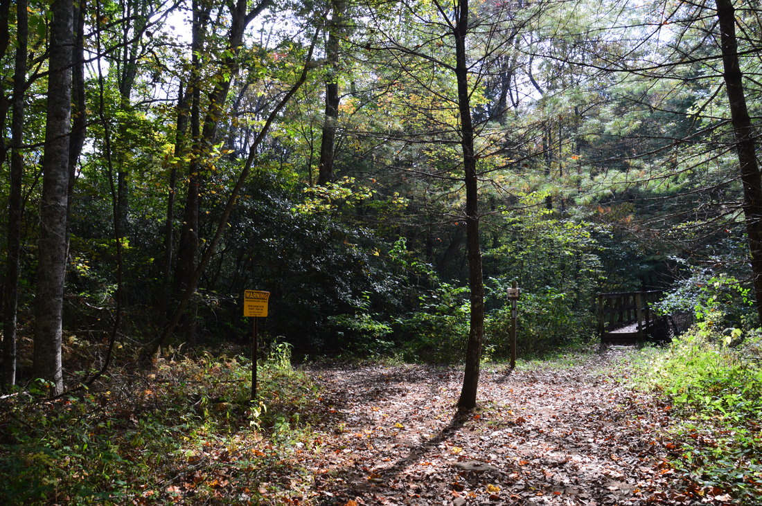
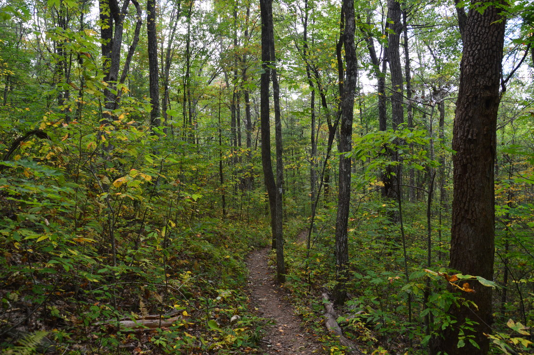
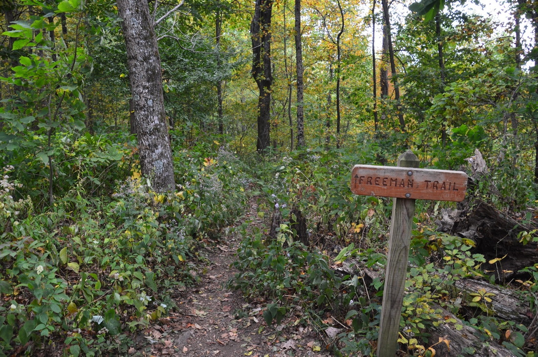
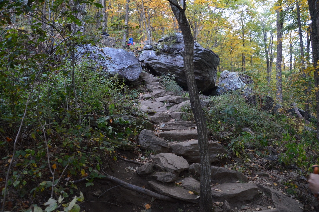
From Woods Hole Shelter, return to Bird Gap at 3.6 miles. Now, walk several dozen feet to the Freeman Trail junction (where there are several campsites to the left). If you continue on the Appalachian Trail, you will ascend Blood Mountain more directly, but in order to ascend Blood Mountain from the east, turn right onto the Freeman Trail. This trail is used less than the AT, in part due to its ruggedness, but it serves as a good bypass around the expansive rock slabs on Blood Mountain during bad weather. One thing that I would like to note is that despite the fact that the Freeman Trail is generally level without any extended uphill or downhill, the trail is also considerably rockier than the Appalachian Trail, and for this reason, you may have a slower pace on it. At 4.0 miles, the Freeman Trail crosses Blood Mountain Creek, which was dry on this day, being this high up in the drainage. There is a pair of beautiful waterfalls downstream on this creek, and after periods of rain, you might find them worth seeing. The upper falls on Blood Mountain Creek can be reached by a steep scramble and bushwhack from the Freeman Trail. The lower falls on Blood Mountain Creek is best accessed using an unofficial trail from Dicks Creek Road. One could also bushwhack to the upper falls from the vicinity of the lower falls. However, due to the extreme drought conditions at the time, I did not believe that the upper falls would be worth the lengthy scramble and bushwhack from the trail. 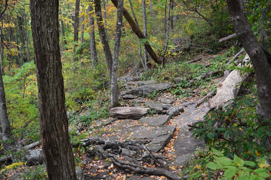
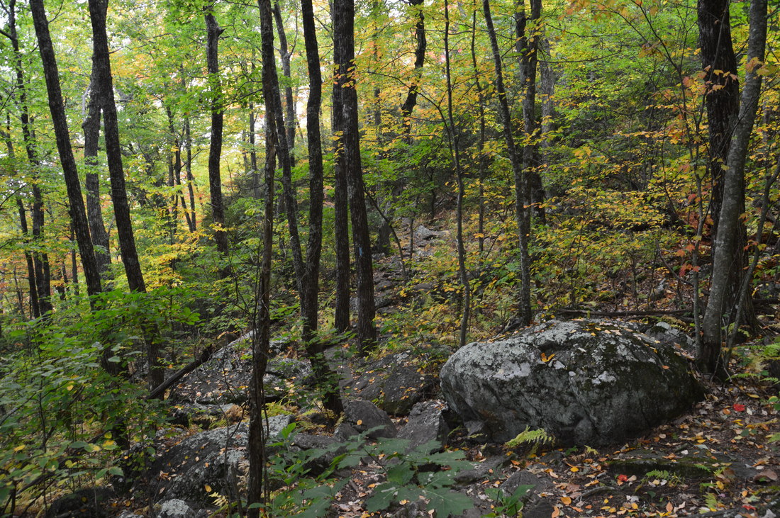
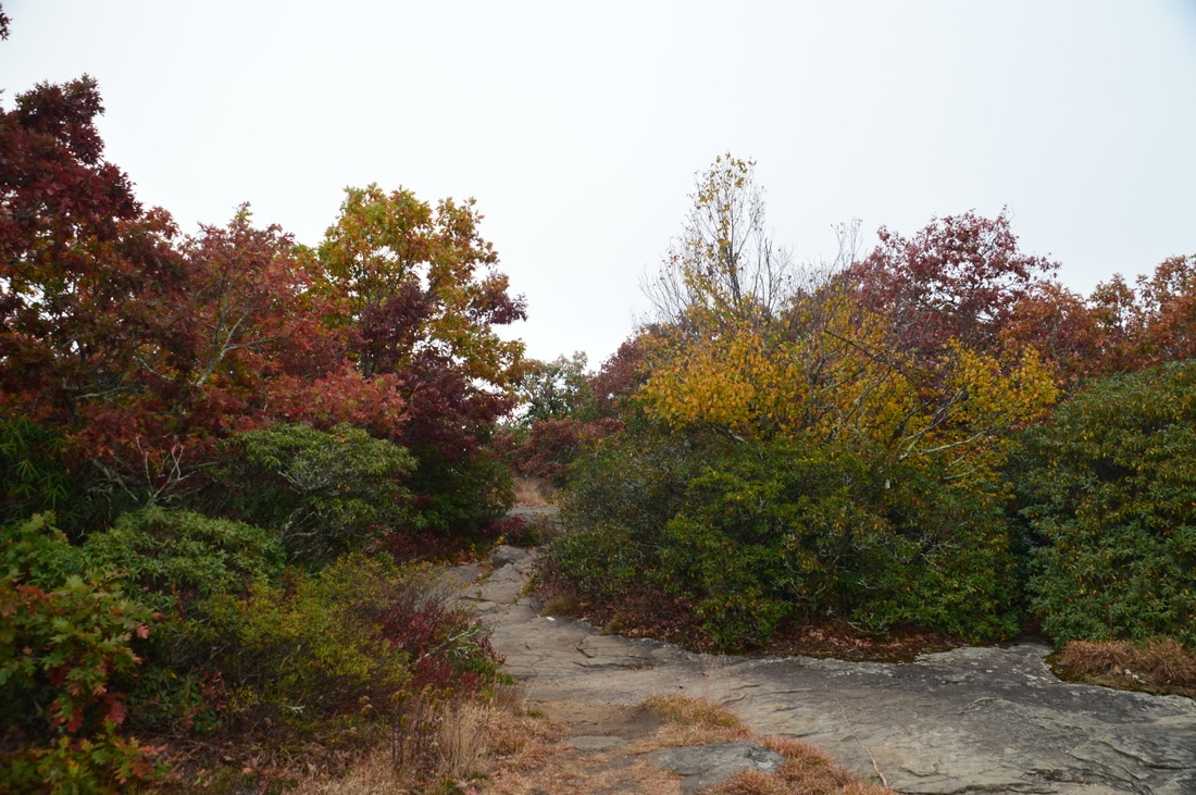
There are many rocky areas on the Freeman Trail, such as the one shown here.
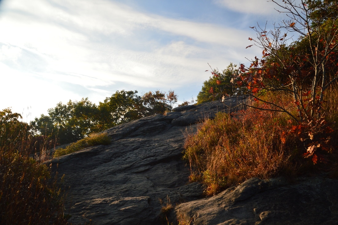
After following the south and southeast side of Blood Mountain for a long time, he Freeman Trail will pass over a large rock slab with a limited view and reach the Appalachian Trail in Flatrock Gap at 5.4 miles. Here, the Appalachian Trail southbound (towards Blood Mountain) leaves to the left and the Appalachian Trail northward (towards Neels Gap and Cowrock Mountain) leaves to the right. The Byron Herbert Reece Trail continues straight and reaches the Byron Herbert Reece Trailhead off US 129 - the common starting point for a hike to Blood Mountain - in 0.7 miles. This hike turns left onto the southbound AT. The next 1.3 miles of the trail is a moderate and sometimes rocky ascent. There are many helpful switchbacks and rock staircases. At 6.4 miles, the trail passes over a large rock slab with some views to the south. Better views lie not far ahead.
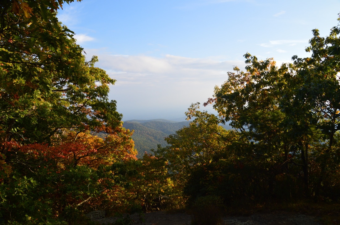
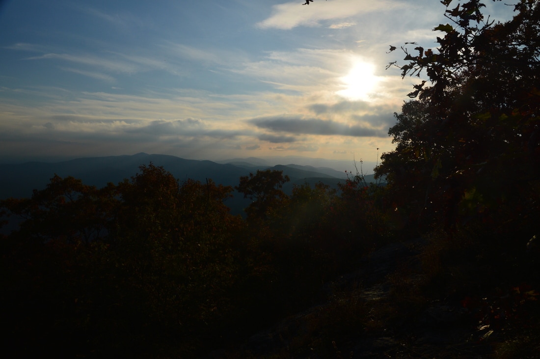
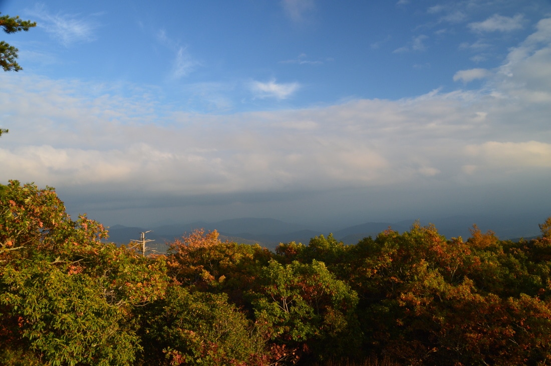
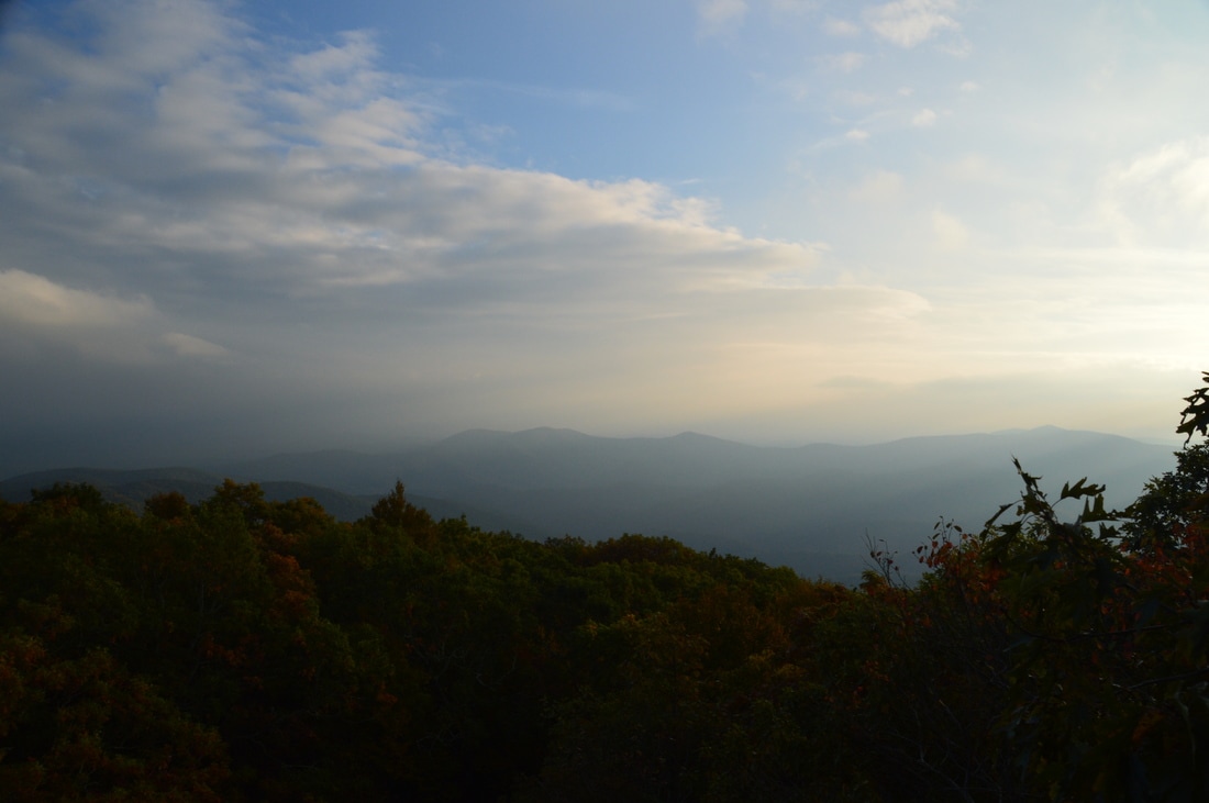
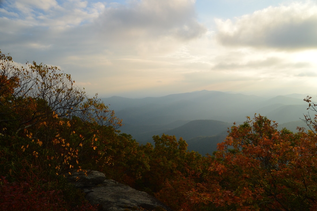
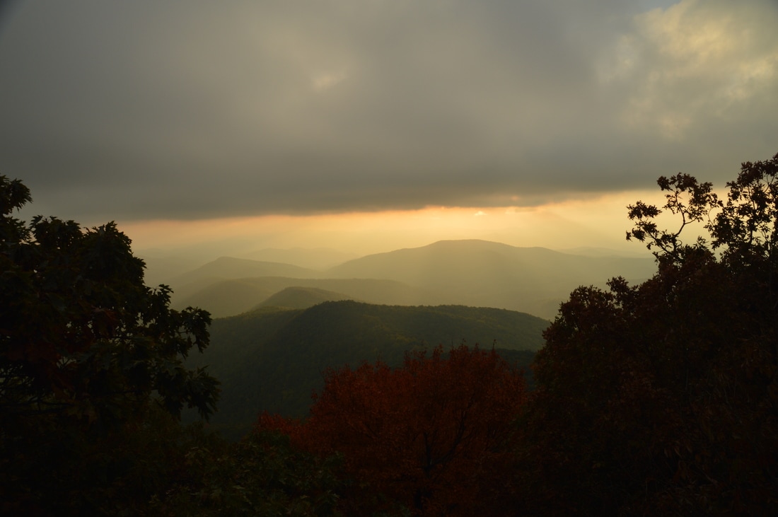
At 6.7 miles, the trail reaches a long rock face with the first of the three main overlooks on Blood Mountain. Like all overlooks on Blood Mountain, the view here is slightly impeded by some trees, but nevertheless, I believe this is the best overlook of the three and it provides a great southward panorama. Follow the white blazes across the rock face to continue on the Appalachian Trail. Around a hundred feet following this overlook, a smal rock outcrop to the left provides a view to the west. Then, at 6.75 miles, the trail reaches a huge rock face that lies just to the left. This is the second overlook on Blood Mountain. This rock slab provides a very good view to the west and southwest, but once again, trees are a slight problem...and so are crowds. On this day, there was around 40 people milling about the summit of Blood Mountain. I have seen better views in Georgia with considerably less people. Another problem on this day was very hazy conditions that prevented good long-range views. Perhaps the view may be slightly better than I think it is during clear weather, because if you could see farther out, then the trees wouldn't be as noticeable. From the second overlook, continue once again on the white-blazed AT. The trail passes over one more small rock slab with a decent view to the east. At 6.9 miles, the trail reaches the Blood Mountain Shelter at the summit of Blood Mountain. Unlike most Appalachian Trail shelters, this one has a stone construction. Also, unlike most AT shelters, this shelter is located on a mountaintop and not near any water source. There are numerous overused camping spots in the vicinity of the shelter. To reach the third overlok, go left and scramble up the arge boulder next tothe shelter. There is a decent view to the west from this overlook and it is a great spot for viewing the sunset, but in my opinion, the other wo overlooks provide much better and more expeansive views, as this view is quite hemmed in by trees. 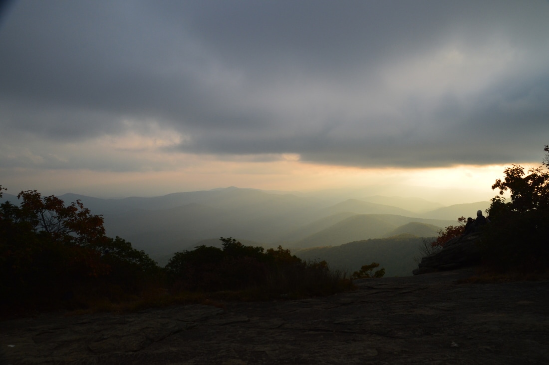
Several rock slabs on Blood Mountain provide expansive views to the south and west.
From the summit of Blood Mountain, to return to the Lake Winfield Scott trailhead, continue on the Appalachian Trail. The trail descends moderately using five switchbacks. After the fifth switchback, at 7.4 miles, the Duncan Ridge Trail leaves to the right and connects to the Coosa Backcountry Trail. One can use it to hike to Vogel State Park. Continuing on the Appalachian Trail, you will soon pass the two ends of a short side trail to a number of campsites to the left at around 7.65 miles. Then, at 7.7 miles, reach a junction with the Slaughter Creek Trail in Slaughter Gap. The AT continues to Bird Gap, but this hike turns right onto the blue-blazed Slaughter Creek Trail. This trail crosses the headwaters of Slaughter Creek at 7.85 miles before beginning the descent to Lake Winfield Scott. Cross a branch of Slaughter Creek at 8.1 miles, and then, cross Slaughter Creek at 8.3 miles. This should be an easy rock hop. Despite the name of the trail, you will not see much of the namesake creek. Shortly, you will leave the Blood Mountain Wilderness. The trail generally continues to descend until 9.95 miles, where it crosses a small tributary via a footbridge, ascends along the tributary, and then descends again to Jarrard Gap Road and the end of the loop at 10.35 miles. Continue on the footpath that you followed at the very beginning of the hike, re-crossing Slaughter Creek, before reaching the end of the hike at the trailhead at 10.6 miles.
Mileage
0.0 - Lake Winfield Scott
1.25 - Jarrard Gap 1.7 - Gaddis Mountain 1.9 - Horsebone Gap 2.7 - Bird Gap 3.15 - Woods Hole Shelter 4.0 - Blood Mountain Creek (waterfalls downstream) 5.4 - Flatrock Gap 6.7 - First Overlook on Blood Mountain 6.75 - Second Overlook on Blood Mountain 6.9 - Third Overlook on Blood Mountain, Summit of Blood Mountain, Blood Mountain Shelter 7.7 - Slaughter Gap 10.6 - Lake Winfield Scott Variations
Do not hike the side trail to Woods Hole Shelter - Removes 0.9 Miles from all mileages
Hike just the Freeman Loop to Blood Mountain via Byron Herbert Reece Trail - 5.8 Miles Hike just the Slaughter Creek Loop - 6.8 Miles Bonus Stops
PicturesVideos
1 Comment
James Roche
10/8/2018 07:39:45 pm
Just got back from this hike. No smart phone or Garmin but printed out and followed your well-worded directions. Great hike! Thanks for the post!! Leave a Reply. |
About MeMark Oleg Ozboyd Dear readers: I have invested a tremendous amount of time and effort in this website and the Georgia Waterfalls Database the past five years. All of the work that has gone in keeping these websites updated with my latest trip reports has almost been like a full-time job. This has not allowed me to pick up a paid job to save up money for college, and therefore, I I've had to take out loans. If you find the information on this website interesting, helpful, or time-saving, you can say "thanks" and help me out by clicking the button above and making a contribution. I will be very grateful for any amount of support you give, as all of it will apply toward my college tuition. Thank you!

Coming in 2022-2023?
Other Hiking WebsitesMiles HikedYear 1: 540.0 Miles
Year 2: 552.3 Miles Year 3: 518.4 Miles Year 4: 482.4 Miles Year 5: 259.9 Miles Archives
March 2021
Categories
All
|


 RSS Feed