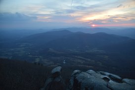
The Peaks of Otter - Sharp Top, Flat Top, and Harkening Hill - are three distinct mountains in the vicinity of the Blue Ridge Parkway. Several centuries ago, it was believed by Thomas Jefferson that the Peaks of Otter - along with the Blue Ridge Mountains in general - are the tallest peaks in the United States, but of course, this was later proved wrong, although not before stones were sampled from the Peaks of Otter and sent to be part of the Washington Monument. Hiking trails lead to each of the three peaks, and two of the three peaks provide excellent views. In fact, the rocky pinnacle at the summit of Sharp Top Mountain provides a 360-degree panorama that overlooks the Virginia Piedmont and the Blue Ridge Mountains that are scattered through the area. This hike occurred on Friday, November 25th, 2016. My plan was to hike the Sharp Top Mountain Trail out and back from Abbot Lake. I would make the short side trip to Buzzards Roost - a separate rock formation and viewpoint - along the way. This hike was the fourth of seven hikes that I did during a four-day Thanksgiving trip to the mountains of western Virginia.
Summary
R/T Length of Trail: 3.4 Miles
Duration of Hike: 3:15 Type of Hike: Out and Back Difficulty Rating: 6 out of 10 Total Elevation Gain: 1404 Feet Pros: Breathtaking panoramic views on a short hike Cons: This trail can be very crowded Points of Interest: Buzzards Roost Overlook - 7 stars; Sharp Top Mountain Overlook - 10 stars Trail Blaze Colors: None Best Seasons to Hike: Summer Fees: None Beginning Point: Sharp Top Mountain Trailhead at Abbott Lake Directions from Buchanan, VA: From the intersection of US 11 (Main Street) and VA 43 South (Parkway Drive), follow VA 43 South for 4.7 miles. Then, turn left onto the "exit" to the Blue Ridge Parkway, and 250 feet later, turn left onto the Northbound Blue Ridge Parkway. In 4.9 miles, in front of Lake Abbott, turn right onto VA 43 South. Then, in another 300 feet, turn right onto VA 614 (Sheep Creek Road), and shortly reach the parking area for the hike to Sharp Top Mountain to the left. Map
Click the link below to download a .KML file with a track of this hike.
Details
The hike to Sharp Top Mountain is short, but it's a serious workout! Not often do I give difficulty ratings of above 2 to hikes that are under 4 miles, but this is one of those cases, as in 1.5 miles (excluding the side trip to Buzzards Roost), the trail ascends approximately 1400 feet! This may have been the hardest hike that I have ever done, relatively to the short distance, of course.
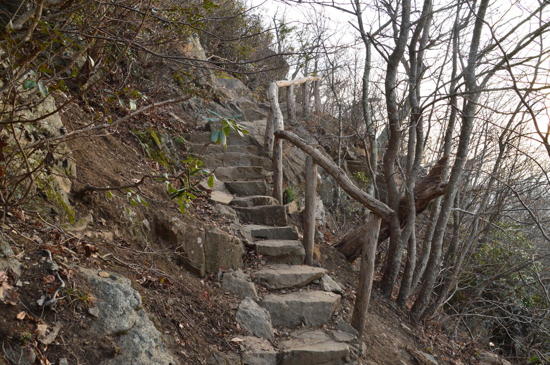
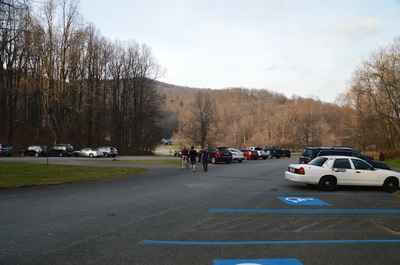
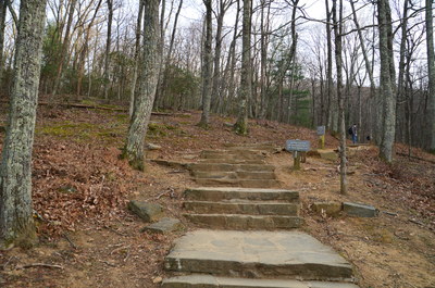
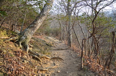
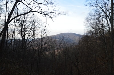
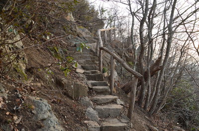
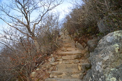
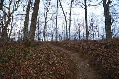
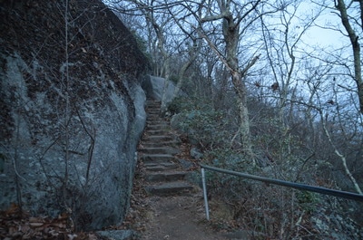
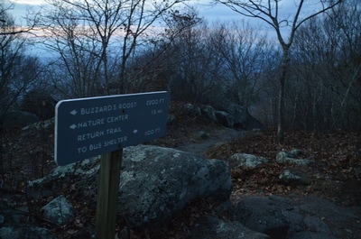
The hike begins at a set of signs, where the Sharp Top Mountain Trail starts up a wide stone staircase. This type of stone staircase brought two possibilities into my mind: a) that the trail would be very well-constructed, well-graded, and without any difficult stretches, or b) that the staircase was there to simply cover up how difficult the trail would be. It turned out that possibility b verified. Just past the trailhead, a signed trail leaves left to the Peaks of Otter Campground and Abbot Lake. It is possible to use this trail to connect to the Flat Top Mountain Trail. To hike to Sharp Mountain, continue straight. The wide and well-traveled trail begins a moderate uphill. At 0.25 miles, the trail crosses the bus road that leads to near the summit of the mountain. After this, the trail steepens to a strenuous uphill grade...and remains so for essentially the rest of the way to the summit. The trail also becomes rockier at around the half-mile mark. There are great winter views of Harkening Hill to the north early in the hike. At 0.8 miles, the trail ascends a series of tone staircases just before and after a switchback. An opening in the trees at the switchback provides a great winter view and partial summer view to the west.
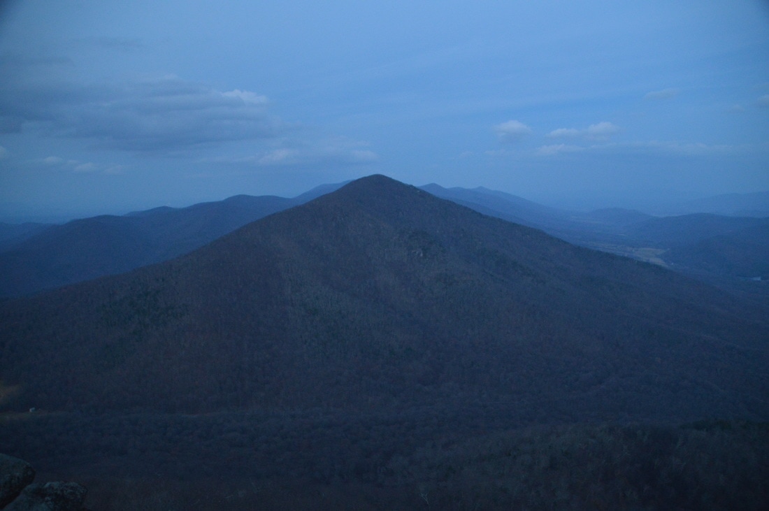
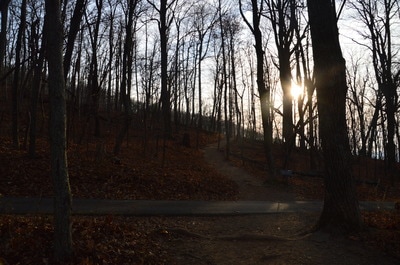
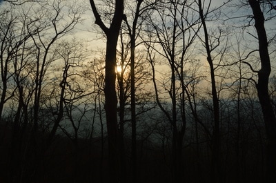
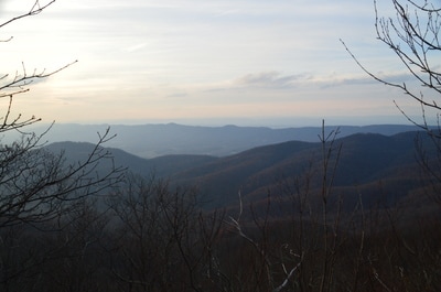
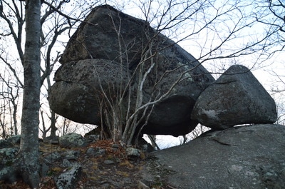
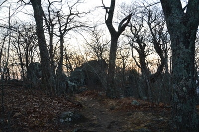
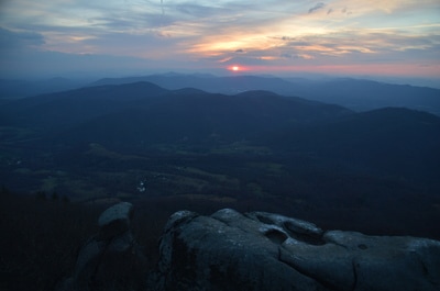
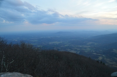
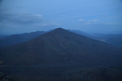
After several switchbacks, the ascent eases back to moderate at the 1-mile mark. At 1.25 miles, in a gap, reach an intersection with the side trail to Buzzards Roost. I recommend doing the spur trail, as there are great views from Buzzards Roost that provide perspective to Sharp Top Mountain. The nearly level side trail passes several neat rock formations and then reaches Buzzards Roost at 1.35 miles. This is a large and intricate rock outcrop near the top of a small knob below Sharp Top Mountain. Getting to the top of Buzzards Roost is not for those with vertigo and requires a mild rock scramble. The reward, however, is a breathtaking view to the north, west, and south. To the west/northwest, McFalls Mountain and farther Cove Mountain are seen. To the southwest, Taylors Mountain is a prominent landmark, and I was lucky to reach this spot just in time to see the sun set near Taylors Mountain. To the north-northeast, Sharp Top Mountain stands alarmingly tall, which made me wonder if I would even get to the summit before darkness, seeing so much uphill ahead. I knew that the top wasn't far away though, and in the end, I got there in twilight but there was enough light to see the views and take pictures of them.
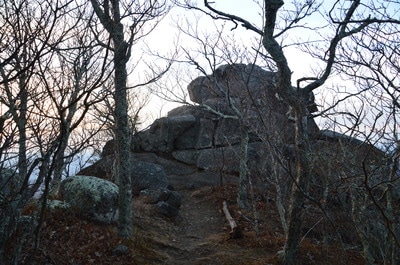
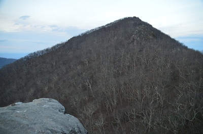
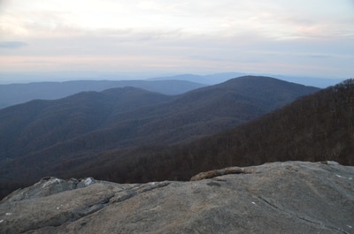
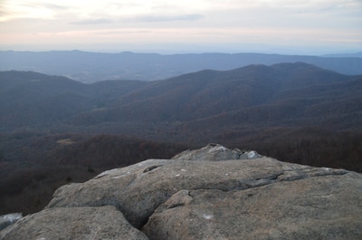
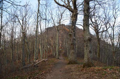
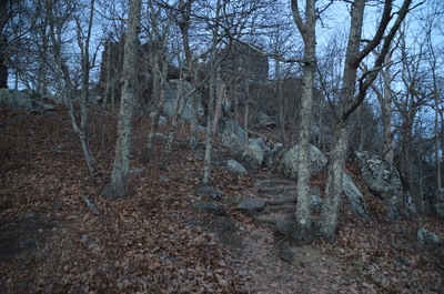
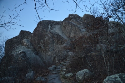
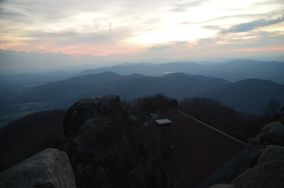
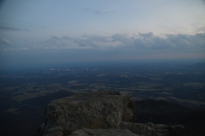
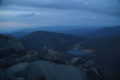
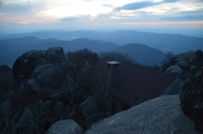
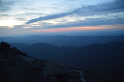
Return to the main trail at 1.45 miles and continue the ascent to Sharp Top Mountain. Through the leafless trees, I could see the foreboding pinnacle of Sharp Top Mountain ahead of me (no wonder it is called "sharp"!). The trail ascends along numerous staircases in this last segment. Around 1.5 miles, the trail abruptly turns left and descends through a passage between two tall boulders, before it continues the final ascent (it is quite rocky). Just below the summit, at 1.75 miles, reach a signed junction. To the left, a 0.2-mile side trail leads to the end of the bus road. A bus can be taken to this road for a much easier approach to the summit, although I prefer the trail, of course. Continue straight past a stone shelter. The summit of Sharp Top Mountain is an impressive conglomerate of boulders that provide a jaw-dropping 360-degree panorama. Follow the trail to the very summit. The trail ascends rock steps, circling around the tallest boulder and reaching a pair of stone observation areas at the summit. Down in the valley below, Abbot Lake and the Peaks of Otter Lodge are visible...that's where your car is! Further to the north-northeast is Flat Top Mountain, which is accessed by a separate trail and has great views as well. To the south and east, the relatively flat Virginia Piedmont rolls away as far as the eye can see. The town of Bedford lies to the immediate southeast. The city of Lynchburg is visible further east in the distance. To the west, a number of different mountain ridges and peaks are visible in a 180-degree range, although none appear to be taller than Sharp Top and Flat Top.
From the summit of Sharp Top, simply retrace your steps back along the steep trail to the trailhead. You will return to the car and conclude the hike at 3.4 miles.
Mileage
0.0 - Sharp Top Trailhead
1.35 - Buzzards Roost 1.8 - Sharp Top Mountain 3.4 - Sharp Top Trailhead Variations
Skip the side trip to Buzzards Roost - 3.2 Miles
Bonus Stops
There are several other trails in the Peaks of Otter Recreation Area, including to Flat Top Mountain, to Harkening Hill, around Abbott Lake, and to Fallingwater Cascades.
PicturesVideos
0 Comments
Leave a Reply. |
About MeMark Oleg Ozboyd Dear readers: I have invested a tremendous amount of time and effort in this website and the Georgia Waterfalls Database the past five years. All of the work that has gone in keeping these websites updated with my latest trip reports has almost been like a full-time job. This has not allowed me to pick up a paid job to save up money for college, and therefore, I I've had to take out loans. If you find the information on this website interesting, helpful, or time-saving, you can say "thanks" and help me out by clicking the button above and making a contribution. I will be very grateful for any amount of support you give, as all of it will apply toward my college tuition. Thank you!
Coming in 2022-2023?
Other Hiking WebsitesMiles HikedYear 1: 540.0 Miles
Year 2: 552.3 Miles Year 3: 518.4 Miles Year 4: 482.4 Miles Year 5: 259.9 Miles Archives
March 2021
Categories
All
|
||||||

 RSS Feed