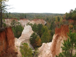
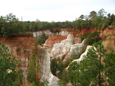
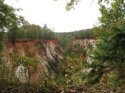
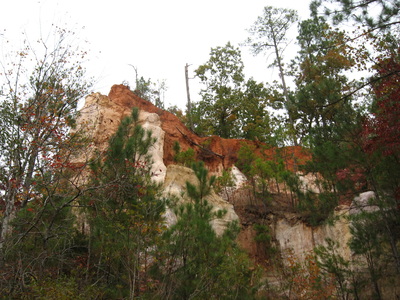
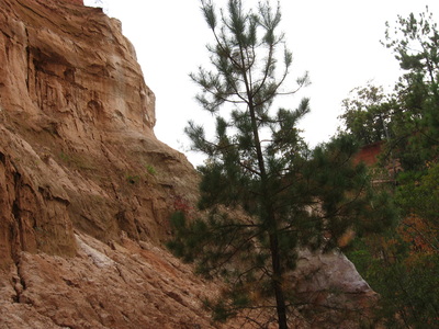
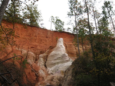
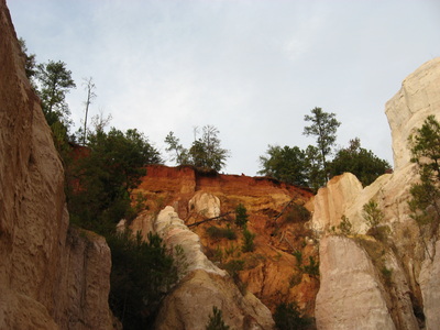
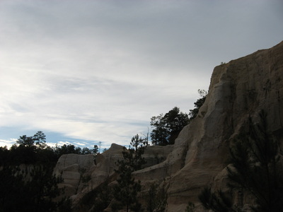
 Providence Canyon State Park is an anomaly. A colorful set of canyons, like an excerpt from Arizona or Utah, in the middle of southern Georgia's flatlands. Although unlike its bigger western brothers, Providence Canyon is indirectly man-made. It is the consequence of poor farming practices in the late 1800s. Major soil erosion followed, forming nearly a dozen of fragile canyons with many weird sandstone formations. The park itself is not the best destination for the more professional hiker, but it is a great sightseeing place. If you feel like it, spend the night one one of the six excellent campsites on the Backcountry Loop - or if you're up to an early start, pack the whole canyons excursion and the loop in one day. This hike occurred on Saturday, November 8th, 2014. My plan was to hike the Canyon Rim Trail into the canyons. Then, I planned to hike through at least Canyons 1-5, maybe more time-permitting. Then, I planned to hike the Canyon Backcountry Loop counterclockwise, ending back at the Canyon Rim Trailhead. R/T Length of Trail: 8 Miles Duration of Hike: 4 Hours Difficulty Rating: 4 out of 10 Type of Hike: Loop Pros: Great canyon views Cons: Very popular first part; some of Canyon Backcountry Trail follows the streambed Scenic Views: Views from Canyon Rim Trail - 6 stars Water Features: None Best Season(s) to Hike: Year-round Trail Blaze Colors: Canyon Rim Trail - White; Canyon Backcountry Loop - Red; Other Canyon Trails - None Beginning Point: Canyon Rim trailhead in Providence Canyon State Park I have a Georgia State Parks Pass that expires around the end of this winter, and I decided that there's a place that I need to visit with my pass. There's not a lot of trails in Southern Georgia, but a few places are worth hiking at, like this one. Unless you have an annual pass though, you have to pay a $5 fee before you get on the trails.
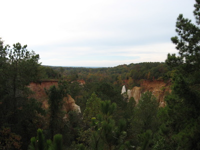
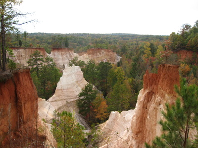
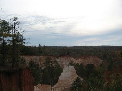
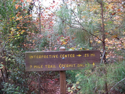
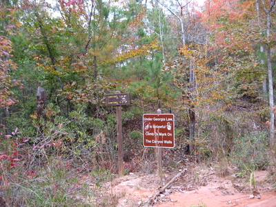
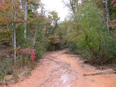
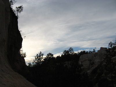
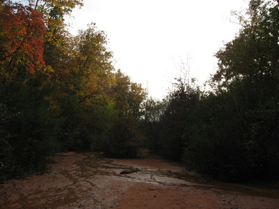
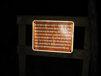
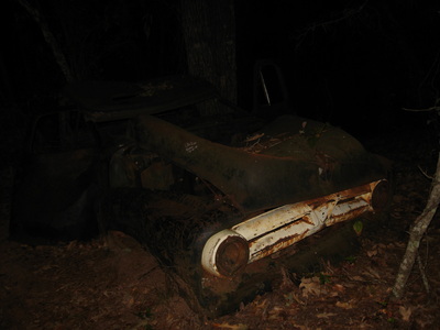
There are a couple trailheads throughout the park, mainly on the entrance road, but I started at the first one. It's a small parking area on the left of the road, just past the Group Shelter road. The first part of this hike, on the Canyon Rim Trail, mainly follows a narrow strip of land between the canyon dropoffs and the road. However, there are 7 overlooks in the course of around a mile. I like Overlook 2 and Overlook 5 most. After 1 mile, you reach the Interpretive Center. It has a very nice exhibit inside regarding how the canyons were formed. From here, the trail starts descending into the canyons itself. It's not a long descent, only about 1/4 mile, but it's steep in places. There is some erosion control along the trail too. After 1 1/4 miles, reach the bottom of the canyon at a junction with the Backcountry Loop and trails to Canyons 1-5. Later, there's trails to Canyons 6-9 too, but I didn't do those on this day. Most of the canyons are pretty similar anyway... Canyon 5 is probably the prettiest. For each canyon, you have to turn left at the junction and walk along the stream. You'll have to walk in water but it is barely noticeable - your feet probably won't even get wet. The first junction is Canyons 1-3 (left fork) and Canyons 4-5 (right fork). On the left fork, there are also several more forks leading to each canyon from Canyons 1-3. Canyon 4 has a very short spur on the Canyons 4-5 trail. It is barely noticeable. Canyon 5 is by far the prettiest anyway. For a better view of your surroundings, climb up as far as you can without anything technical at the end of the Canyon 5 trail. You can see most of Canyon 5 from here. It is a beautiful scene. Once you have viewed these canyons, backtrack to the white trail. You have the option of continuing up the white trail and visiting Canyons 6-9, but I didn't do this on this day. To follow my plans, I took the red trail from the aforementioned junction. This signals the very wet start to the Backcountry Trail. The first 0.5 miles are the wettest - there's some places where you bypass the streambed but for the most part, you have to follow the stream and it's now deeper and wider than in the canyons. After 0.5 miles (around 2.5 miles from the start), the trail finally leaves the streambed onto a flat singletrack path on the right. The stream stays on the left close to the trail though. Around here, there is also a junction with the short spur trail to the Boy Scout Pioneer Camps on the right. At 1.3 miles, the trail makes a sharp left turn towards the creek. An old road heads right. Cross the stream on a footbridge, and then pass a marshy area on the right. I suspect this marshy area is part of South Glory Hole, a small pond on the park boundary. Soon, make another left turn, seemingly going back the direction you came from. Not for long, though. The trail veers right and starts a pretty steep ascent up onto slightly higher terrain. It's not very long. Around 1.5 miles, the ascent relaxes and starts following the ridge. Shortly after this, you pass Campsite 6 at around 1.6 miles. This one is the only campsite on the trail that also has a small shelter. After this, the trail starts descending for some time, before coming to a junction with the Campsite 5 spur trail heading right at 1.8 miles. Keep left here. Campsite 4 shortly follows, and that is also around where the 2 mile mark was for the Backcountry Trail (4 miles from the start of the hike). All of the campsites come in pretty quick succession. Campsite 3 comes at 2.2 miles, just after Campsite 4, and around 2.5 miles (4.5 miles altogether), is the junction with the shortcut that cuts down 3/4 of a mile and also Campsite 2. At this junction, the trail forward is a shortcut for those who are tired already. However, I might have actually liked that way more, because most people use the shortcut apparently, since the main trail that went right was not very clear in some places. Try following the most evident path and red blazes, and you should be good. At 3 miles, the trail sharply turns left, and you reach Campsite 1, the only unoccupied campsite on this day. It is certainly much more isolated than all the other campsites! At 3.5 miles, the trail rejoins the old road that it left a mile earlier. Turn right here, and soon bear left (a closed old road continues forward outside the park). The trail beings a steep descent to a small stream, reaching it around 3.8 miles. At 4.2 miles, cross the small stream and begin heading back uphill. This is another short but steep climb. At 4.6 miles, the ascent ends, bringing you out to the canyon rim. The hike stays here for the rest of the time. Soon, you'll pass some weird signs, first 5, then 6 miles back to Providence Canyon State Park (it didn't seem to match in my opinion). At 5.2 miles (7.2 miles from the start), reach the white trail (Canyon Rim Trail). Turning left leads back to the Interpretive Center, while the route of this hikes turns right. At 5.5 miles, the Group Shelter is visible through the trees on the right. Just past this, here is an old homestead with remains of old junk cars. I saw 4, but there might be more. There is also an informational sign about it. In this area, there were two ore overlooks of the canyon, making it nine altogether (remember the seven in the first mile). At 6 miles from the start of the red trail and 8 miles from the start of the hike, close the loop by exiting out at the parking area. To summarize: if this is your first hike, and/or if you live in south Georgia or south Alabama with few places to hike at, you will be quite impressed by the shear beauty of Providence Canyon. If you're an experienced hiker like me, you might like it less than many other hikes. Personally, I did like the views, but the whole hike? Not too much. STILL, it's the best trail I Have hiked so far in southern Georgia, so it is not to be dismissed. Below are some pictures and videos.
0 Comments
Leave a Reply. |
About MeMark Oleg Ozboyd Dear readers: I have invested a tremendous amount of time and effort in this website and the Georgia Waterfalls Database the past five years. All of the work that has gone in keeping these websites updated with my latest trip reports has almost been like a full-time job. This has not allowed me to pick up a paid job to save up money for college, and therefore, I I've had to take out loans. If you find the information on this website interesting, helpful, or time-saving, you can say "thanks" and help me out by clicking the button above and making a contribution. I will be very grateful for any amount of support you give, as all of it will apply toward my college tuition. Thank you!
Coming in 2022-2023?
Other Hiking WebsitesMiles HikedYear 1: 540.0 Miles
Year 2: 552.3 Miles Year 3: 518.4 Miles Year 4: 482.4 Miles Year 5: 259.9 Miles Archives
March 2021
Categories
All
|

 RSS Feed