Preachers Rock is a well-known destination along the Appalachian Trail on Big Cedar Mountain that features a great view of the Blood Mountain Wilderness. A couple of other trails in the area can be utilized to create a loop hike from either Chestatee Overlook (on Highway 60) or Dockery Lake, visiting one other vista as well as up to three waterfalls. The unofficial Steeltrap Knob Trail provides a useful connection between Chestatee Overlook and Woody Gap, at the same visiting a spectacular view of the Georgia Piedmont from little-known cliffs on the side of Steeltrap Knob. Meanwhile, the Dockery Lake Trail travels through the Pigeon Roost Creek Valley between Dockery Lake and the Appalachian Trail. While no waterfalls are right on the trail, visiting Martha's Falls, Twin Falls, and Dockery Lake Falls will require only short off-trail diversions. This hike occurred on Sunday, October 29th, 2017. My plan was to hike a loop from Chestatee Overlook, starting with the Steeltrap Knob Trail and stopping by the Steeltrap Knob Vista along the way. I would then take the Appalachian Trail over Big Cedar Mountain and to the Dockery Lake Trail, stopping by several views from Big Cedar Mountain along the way, including Preachers Rock. Next, I would take the Dockery Lake Trail to Dockery Lake, visiting Twin Falls, Martha's Falls, and Dockery Lake Falls along the way. I would conclude the hike with a walk up Dockery Lake Road back to Highway 60 and Chestatee Overlook.
Summary
R/T Length of Trail: 10.4 Miles
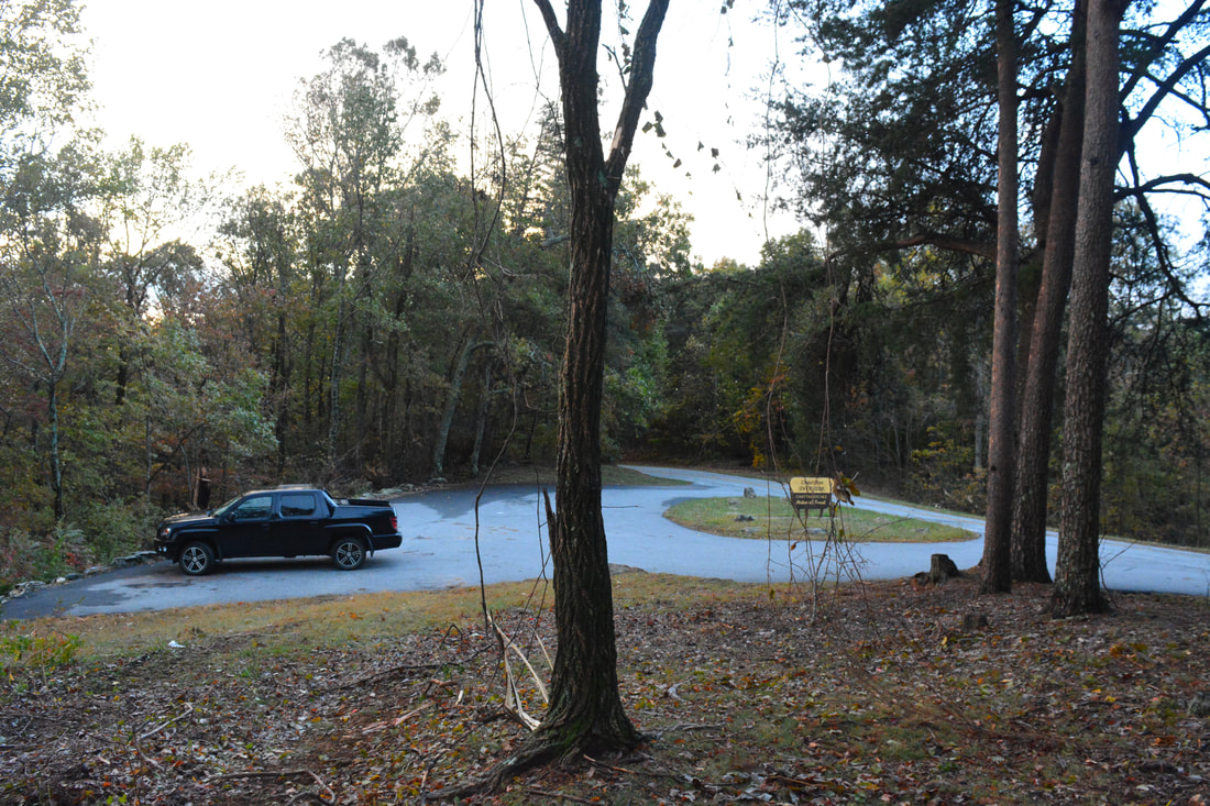
Duration of Hike: 5:40 plus about 2.5 hours of stopping Type of Hike: Loop Difficulty Rating: 7 out of 10 Total Elevation Gain: 2777 Feet Pros: Abundance of points of interest throughout the hike Cons: Numerous blowdowns in the first part of Steeltrap Knob Trail; the waterfalls in the Pigeon Roost Creek valley need a good flow to look their best; some roadwalk is necessary to close the loop Points of Interest: Steeltrap Knob Vista - 6 stars; Preachers Rock - 7 stars; Second View on Big Cedar Mountain - 4 stars; Twin Falls - 7 stars during high water; Martha's Falls - 7 stars; Dockery Lake Falls - 3 stars; Dockery Lake Trail Blaze Colors: Steeltrap Knob Trail - None; Appalachian Trail - White; Dockery Lake Trail - Blue Best Seasons to Hike: Winter Fees: None Beginning Point: Chestatee Overlook Directions from Suches, GA: From the intersection of GA 180 and GA 60 in Suches, Follow GA 60 South for 3.5 miles to the Chestatee Overlook and the paved parking area on the left. That's where the hike begins. If you continue for 0.1 mile, you'll come to Dockery Lake Road (FS 654) on the left, which ends in the Dockery Lake Recreation Area in about 1.3 miles (the other end of the hike). Map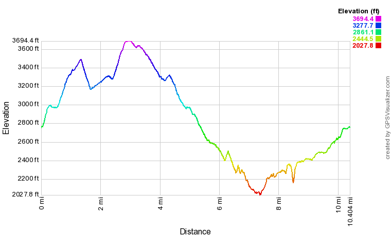
Click the link below to download a .GPX file with a track of this hike.
Details
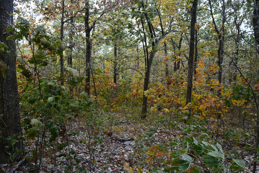
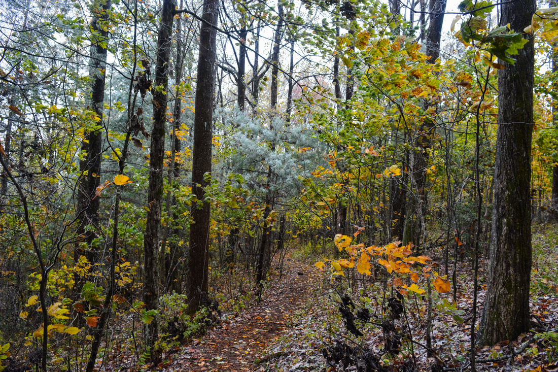
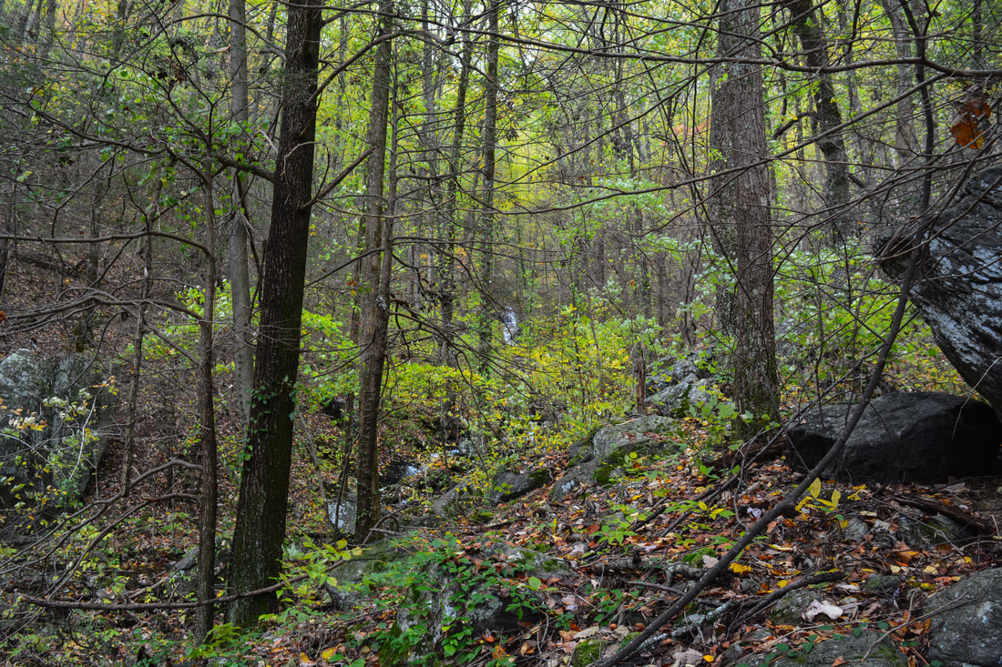
For some reason, despite hiking across North Georgia for five years, I still had not made it to Preachers Rock - one of the area's most beautiful easily-accessible vistas. Once, I attempted approaching it from Gooch Gap but ran out of time to make it to the main view. Now, for several months, I had been eager to complete a loop hike that became possible thanks to a little-known unofficial trail across Steeltrap Knob, connecting Dockery Lake Road and Chestatee Overlook to the Appalachian Trail at Woody Gap. Even though the loop still had nearly 1.5 miles of roadwalk, it became a much more pleasant hike. I was excited to finally knock out this loop on an unusually chilly and windy fall day. The fall color show throughout the Pigeon Roost Creek valley along the Dockery Lake Trail did not disappoint!
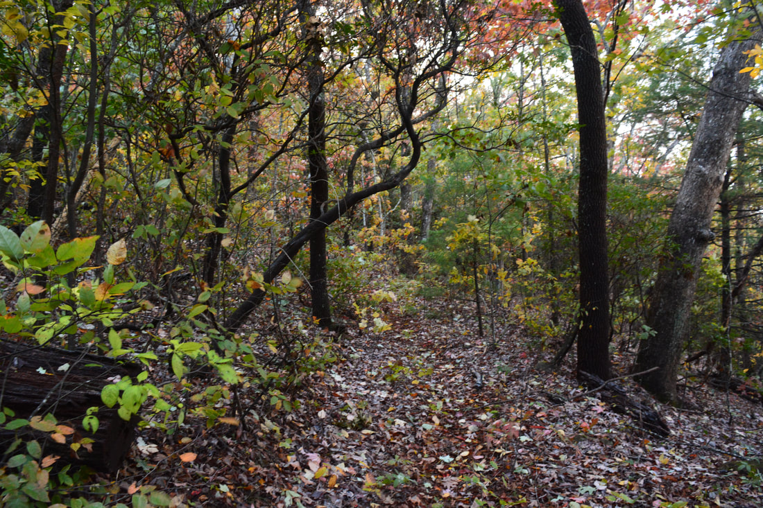
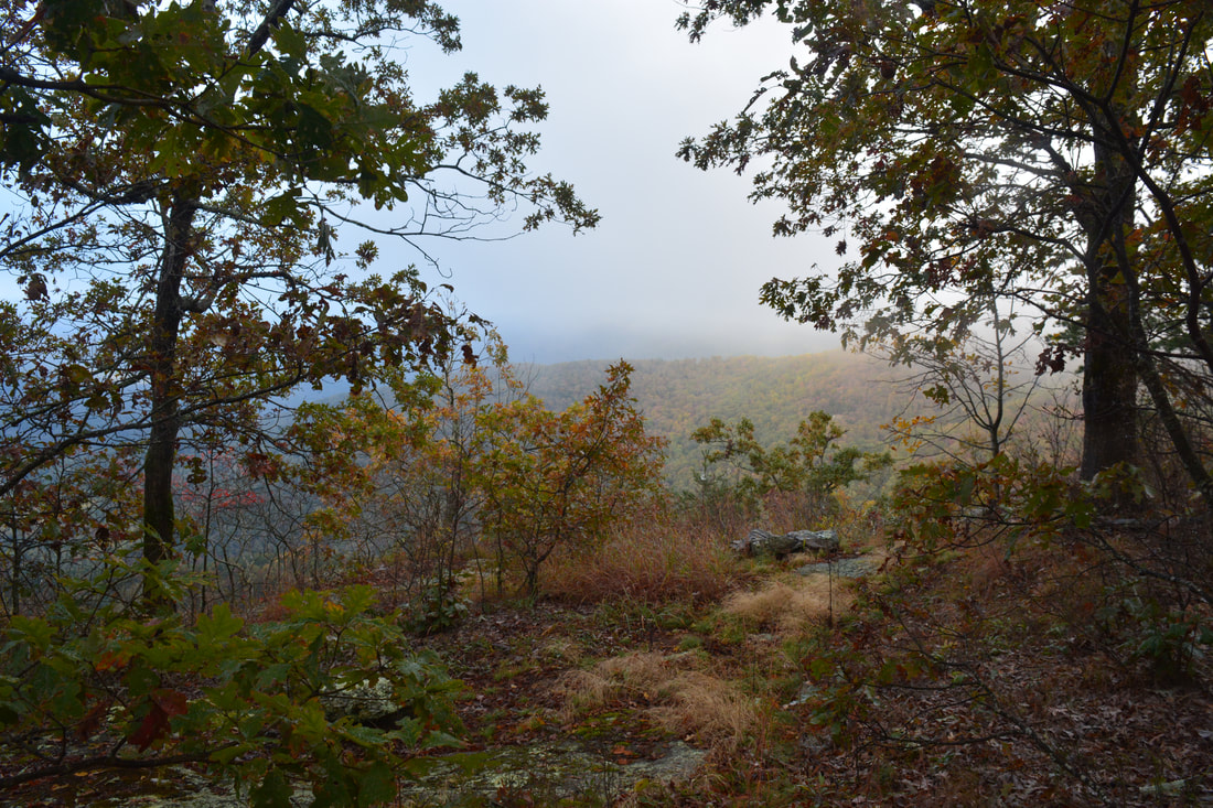
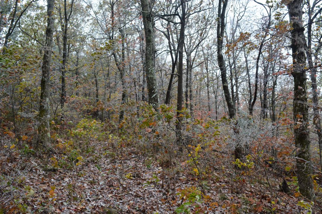
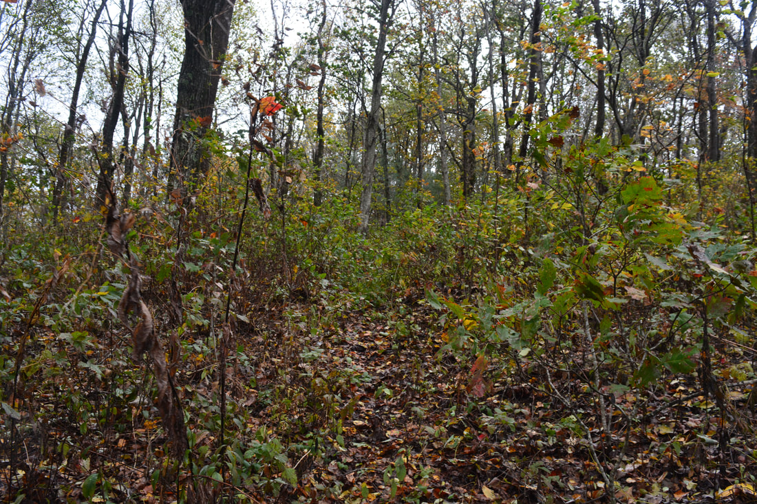
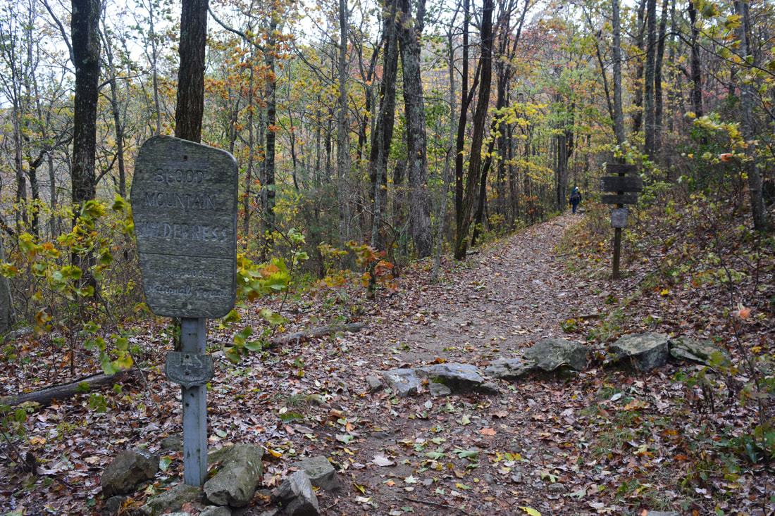
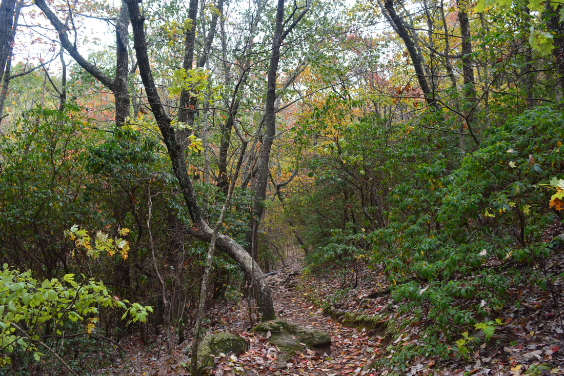
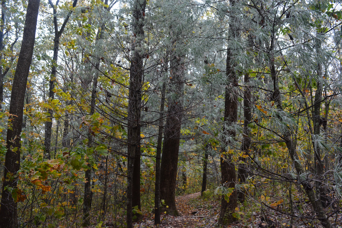
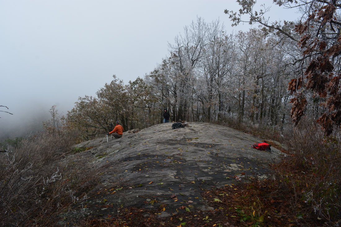
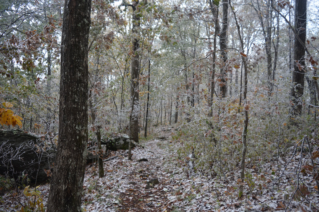
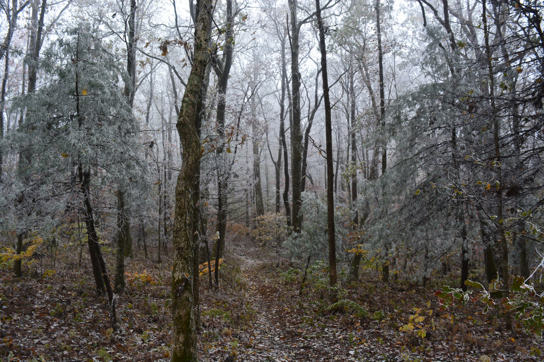
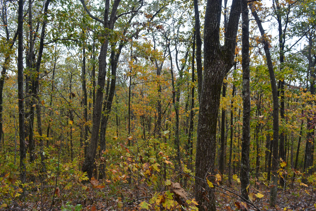
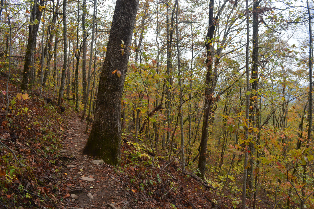
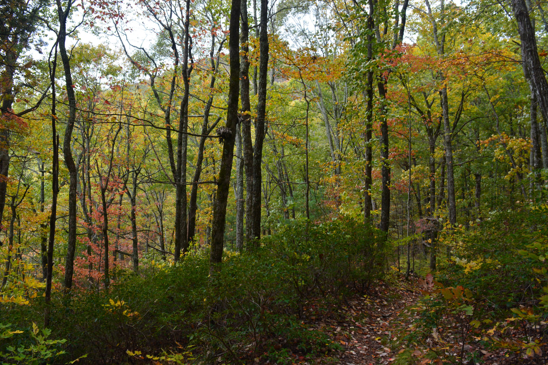
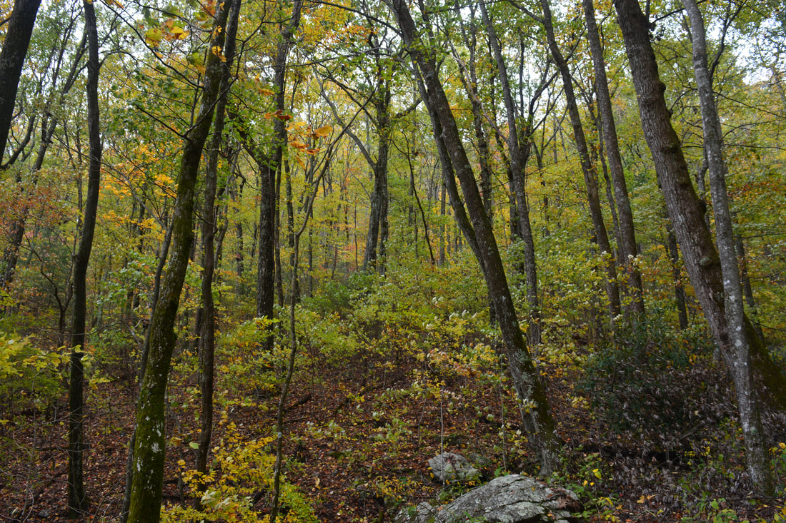
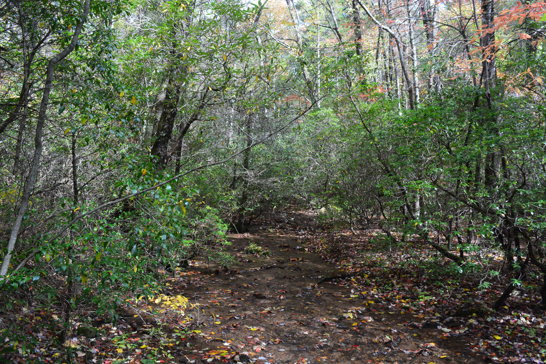
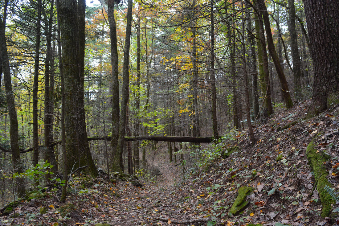
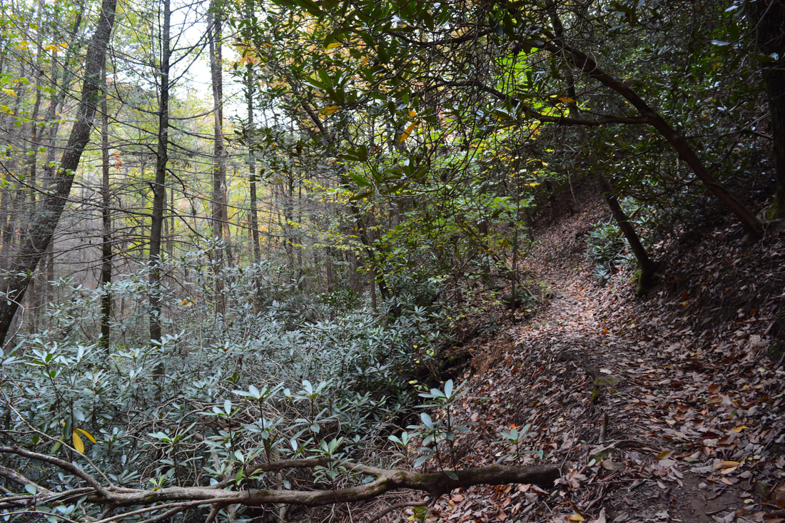
The hike begins along the Steeltrap Knob Trail at the north end of Chestatee Overlook. This roadside overlook along Highway 60 faces east but isn't particularly special as it is very overgrown. Walk through the small grassy area above the overlook, where the trail begins behind a huge blowdown. Once you bypass the blowdown on the left, you should see the well-defined path to the right. The Steeltrap Knob Trail quickly begins ascending a knob on the ridge below Steeltrap Knob itself. There are a lot of large blowdowns in the first part of the trail thanks to the high winds of Hurricane Irma. Since this is an unofficial trail, these blowdowns will probably not be cleared anytime soon unfortunately. A moderate to steep ascent brings the trail to the top of the first knob at 0.3 miles, after which the trail remains fairly level along the ridge. A similar longer ascent of Steeltrap Knob follows. The trail is always not far from Highway 60, but it is still far enough that highway noise remains limited. The trail remains pretty distinct, although you have to pay attention when crawling through the blowdowns as the trail can change direction. At 0.9 miles, the trail reaches a lead coming in from the east and makes a sudden left turn as it regains the ridgeline at a higher elevation. This is also where the trail begins to follow the boundary of the Blood Mountain Wilderness all the way to the Steeltrap Knob summit. About 350 feet past this turn is the obscure side path on the left that leads to the Steeltrap Knob Vista. The turn is a good way to identify it; at the time of my hike, there was also a blowdown immediately before the spur trail. Follow the spur trail for about 100 feet past a little-used campsite and to a series of rock outcrops and cliffs on the edge of the ridgeline at about 1.0 miles. These rock outcrops afford a beautiful mostly open panoramic view of the Georgia Piedmont. On a good day, you should be able to make out the Atlanta skyline on the horizon. The view also includes Black Mountain and Ramrock Mountain to the northwest. Meanwhile, Highway 60 snakes out along the mountainside a few hundred feet below the cliffs. After the overlook, continue to follow the Steeltrap Knob Trail along the ridge, staying next to the wilderness boundary. As the trail approaches the summit of Steeltrap Knob, it becomes a little fainter. At 1.35 miles, the trail reaches the summit, after which it curves left (west) and begins a steep 300-foot descent to Woody Gap. The trail can be hard to follow along the descent, but don't worry - just keep going down in about the same direction of the gap (with Black Mountain rising up ahead of you). Just before the trail reaches Woody Gap, it passes between two well-used campsites hidden just above the parking. At 1.7 miles, the Steeltrap Knob Trail terminates at the parking area in Woody Gap off Highway 60. 
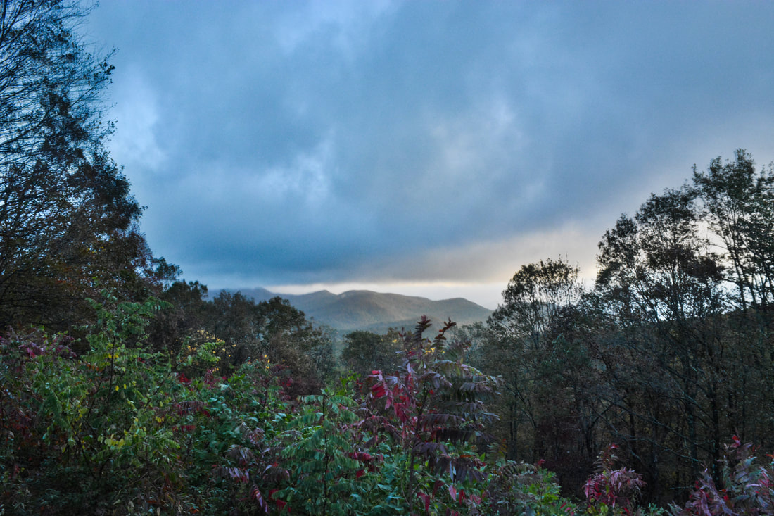
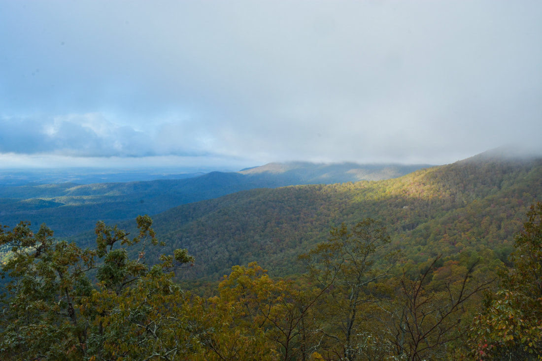
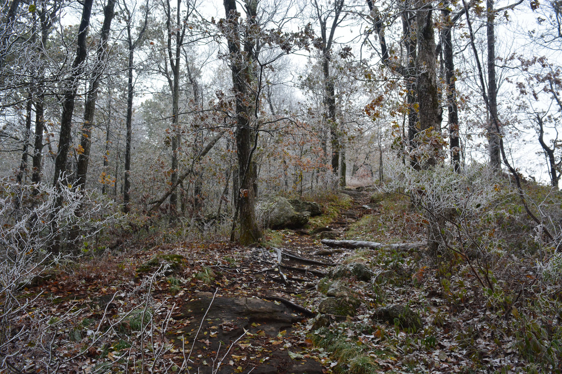
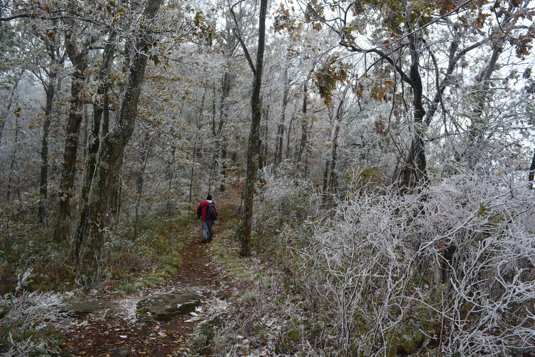
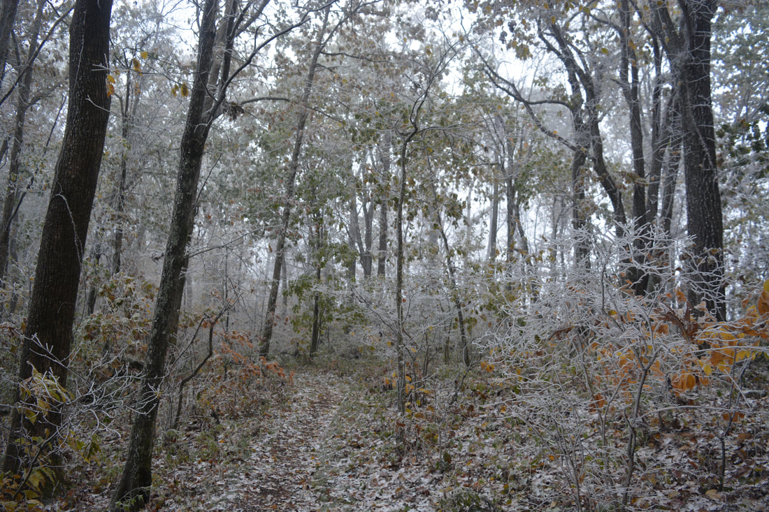
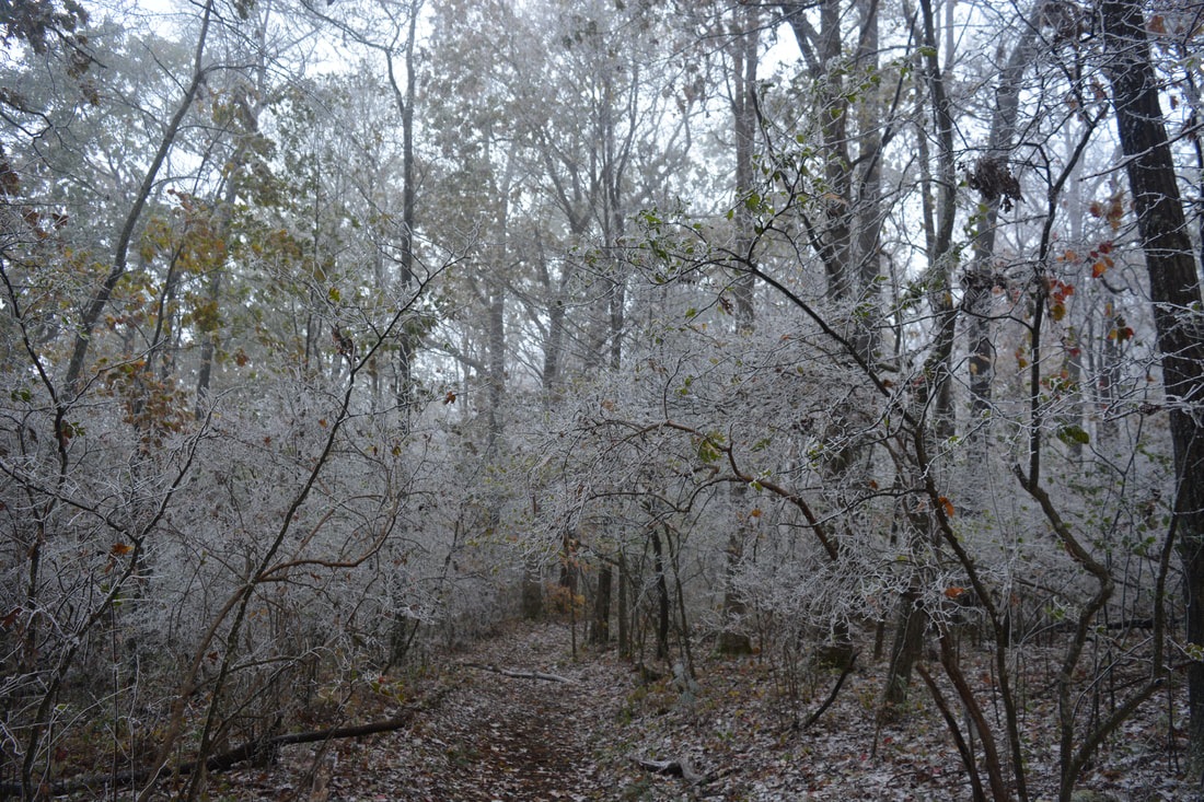
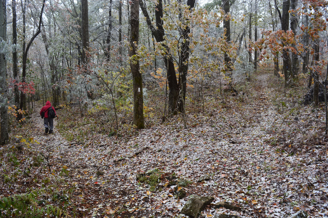
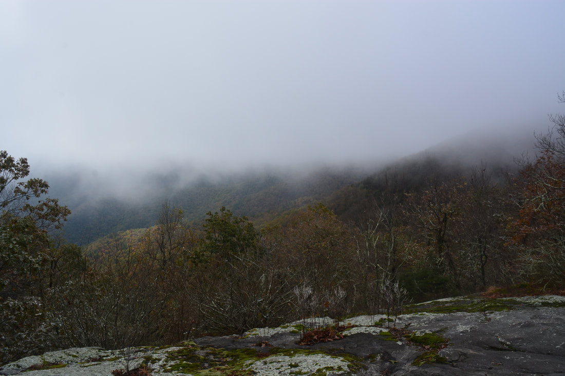
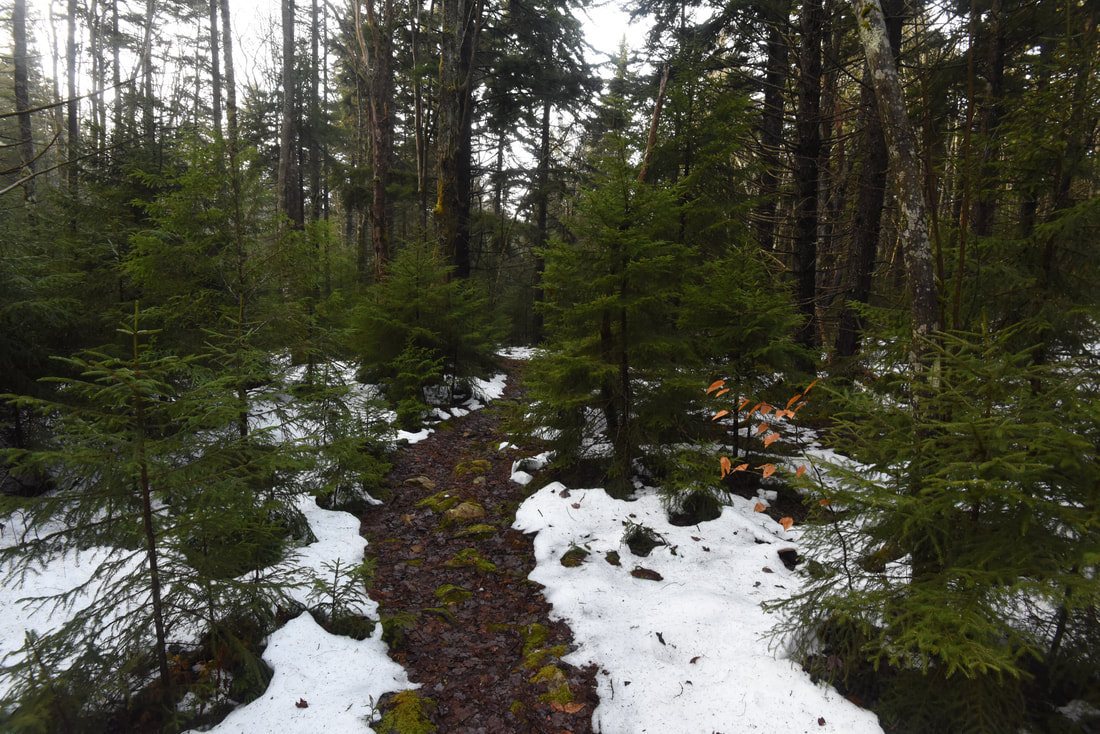
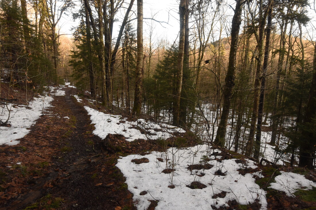
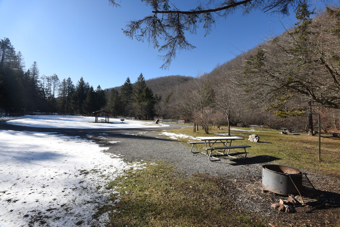
Fall met winter on the day that I hiked the Preachers Rock Loop.
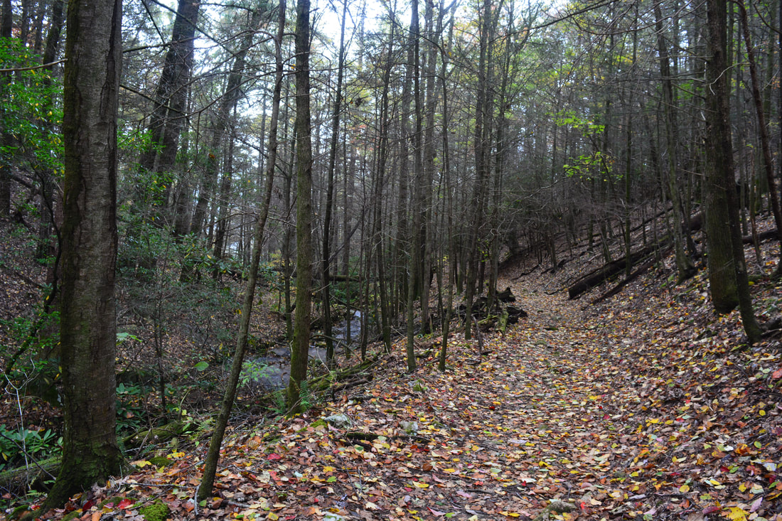
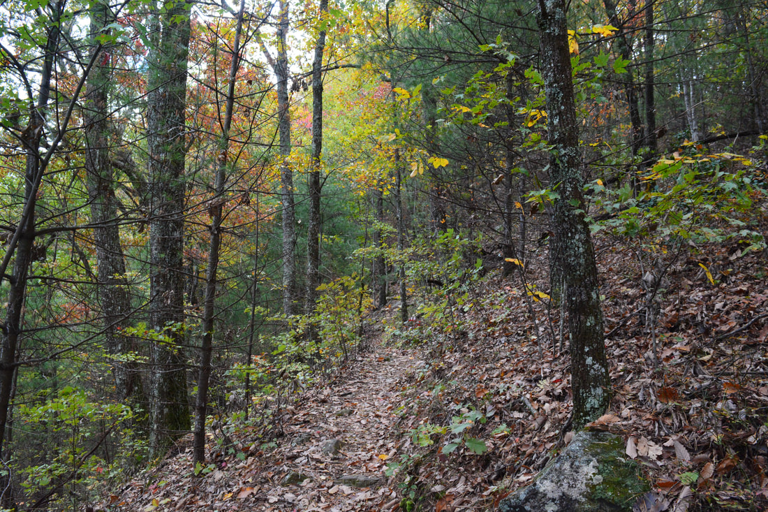
Woody Gap is where you must pick up the Northbound Appalachian Trail to continue the loop. The Appalachian Trail exits the parking area to the right and shortly enters the Blood Mountain Wilderness for good. After the narrow and sometimes faint Steeltrap Knob Trail with its blowdowns, the AT will feel like a freeway! The AT curves along the slopes below Steeltrap Knob and Jacobs Knob, passing an old quarry site on the right near Woody Gap. At 2.4 miles, the AT passes near Lunsford Gap and begins ascending Big Cedar Mountain. Altogether, there are eight switchbacks as the trail climbs to Preachers Rock. A small rock outcrop at the fourth switchback provides a nice view to the east similar to Preachers Rock but narrower and lower. After a 200-foot ascent from Lunsford Gap, the Appalachian Trail comes to Preachers Rock at 2.7 miles just below the summit of Big Cedar Mountain.
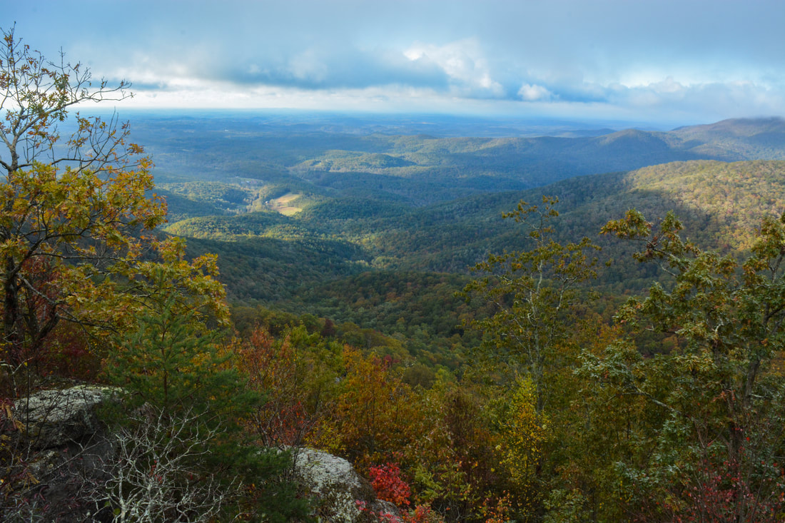
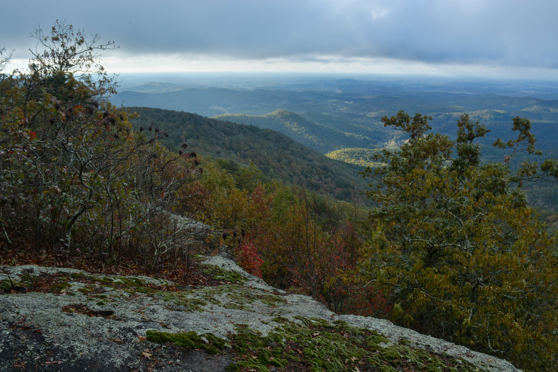
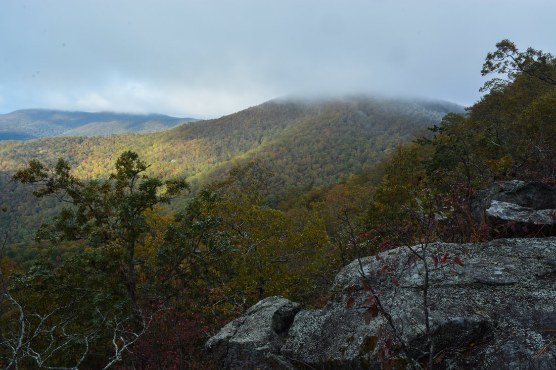
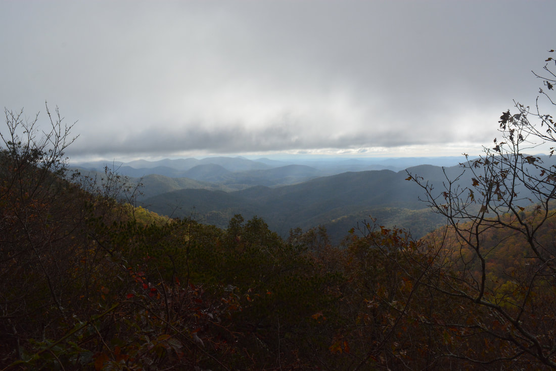
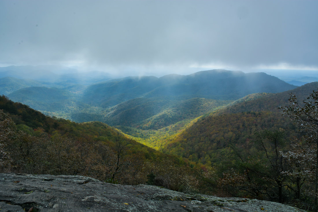
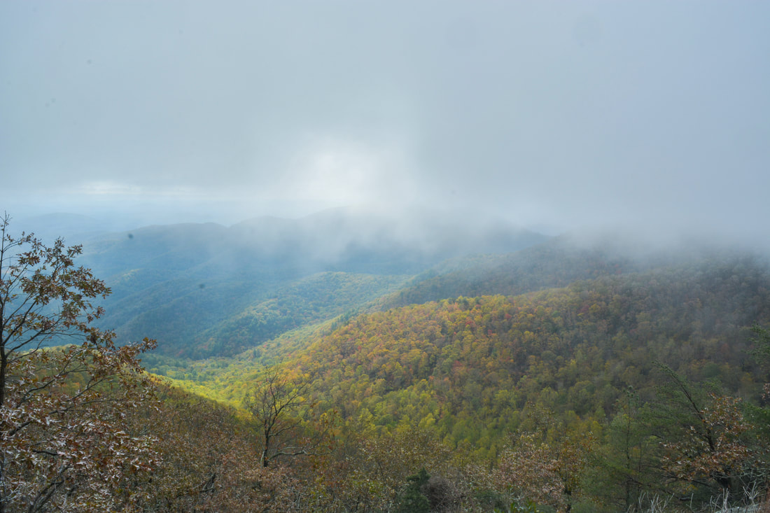
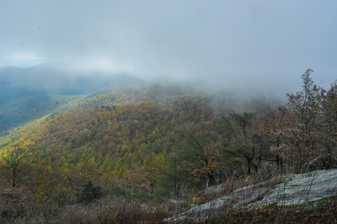
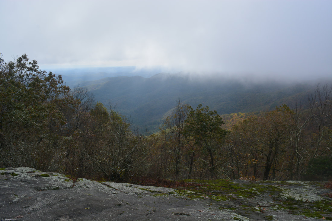
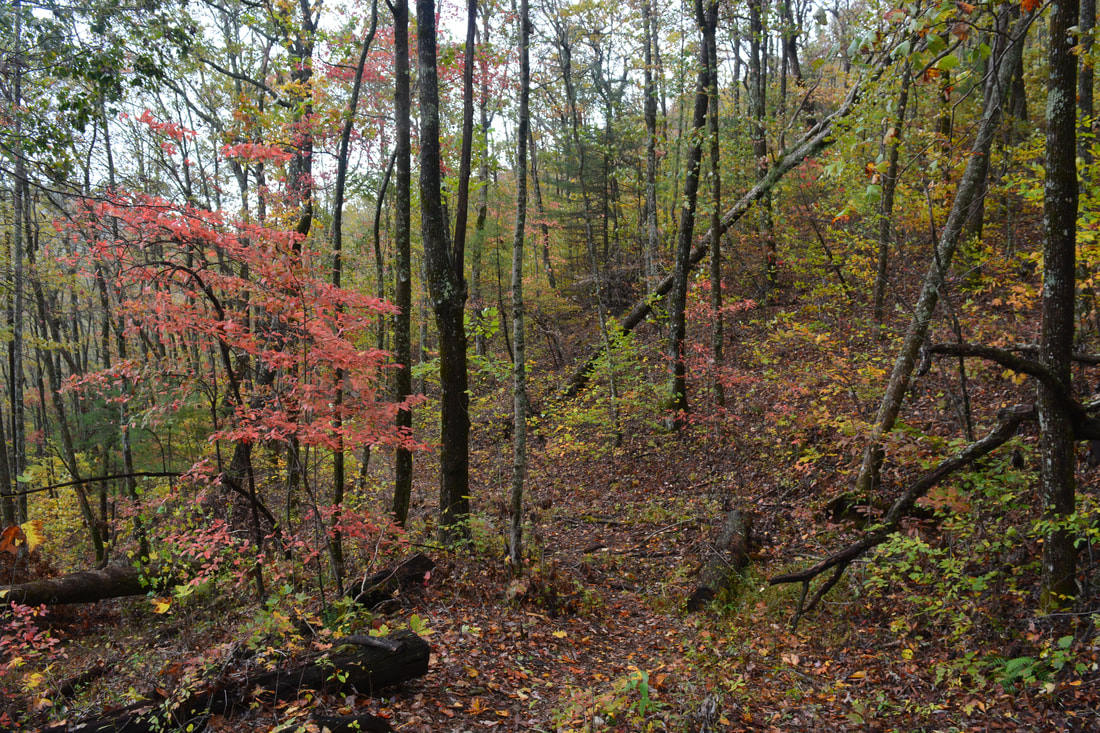
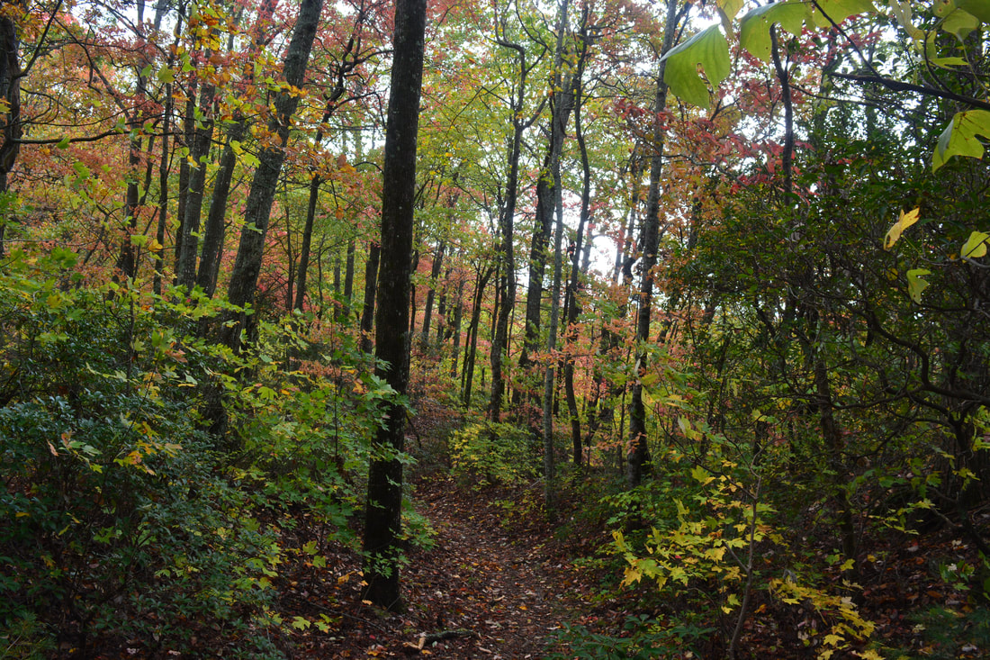
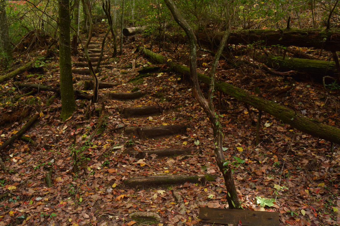
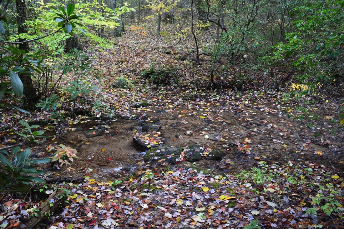
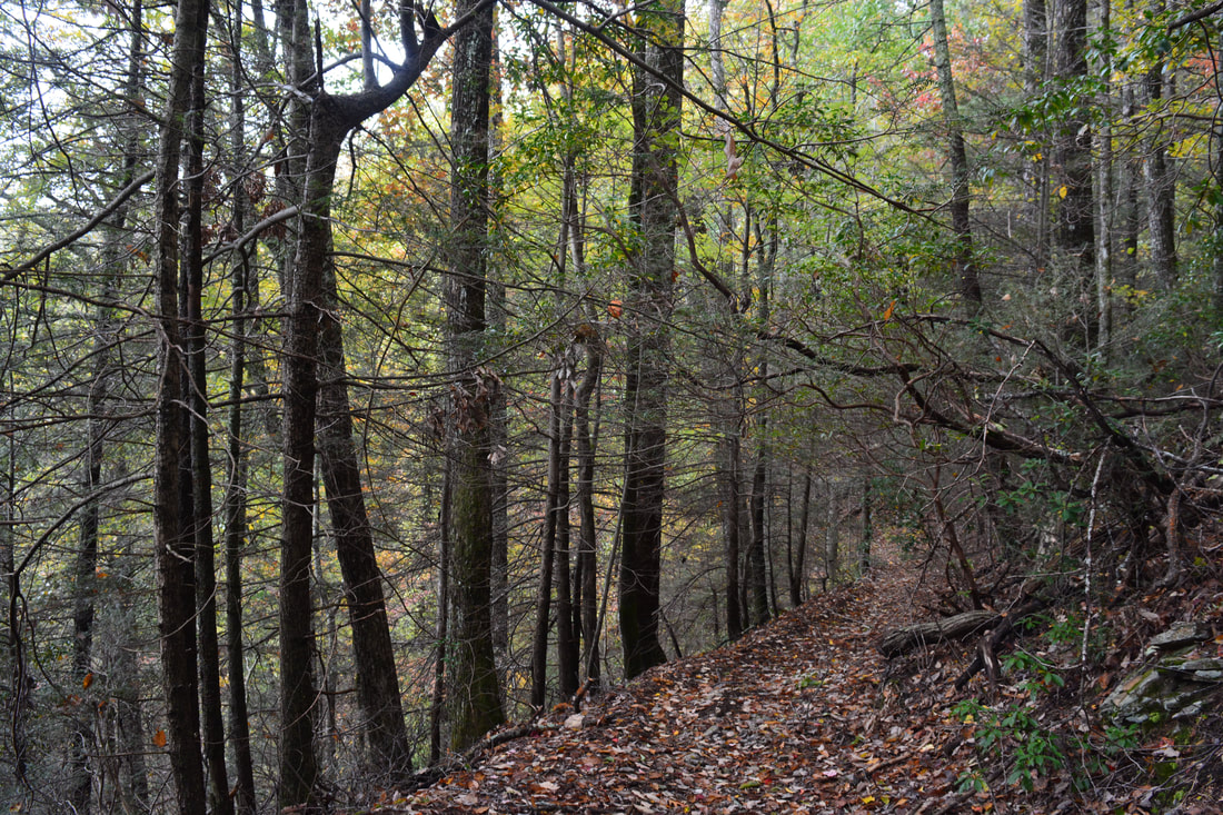
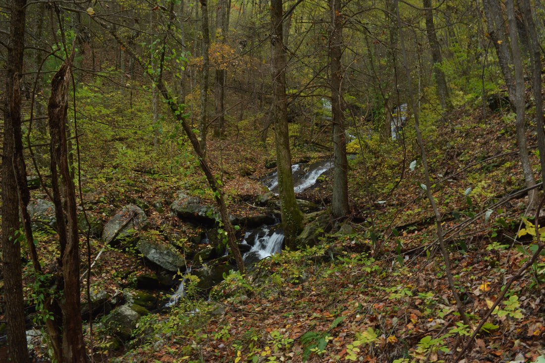
Preachers Rock is a broad rock slab on the right side of the AT with spectacular views. On this day, the cloud line was right around the top of Big Cedar Mountain, so the view with the constantly drifting pieces of clouds and fog wasn't optimal, but it was still gorgeous. Facing east and south, the view from Preachers Rock encompasses much of the Dicks Creek valley and the mountains around it in the foreground as well as the Piedmont farther out. Steeltrap Knob where you were earlier is at the far right in the view. From Preachers Rock, continue following the Appalachian Trail as it skirts the very top of Big Cedar Mountain and remains nearly level along the ridge. At the north end of Big Cedar Mountain at 3.2 miles, a blue-blazed side trail bears right to another smaller view while the AT bears left. Follow the side trail to the small rock outcrop and view at 3.3 miles. The view is not very different from Preachers Rock as it faces the same direction, although the perspective is slightly different. A first-rate campsite is located right at the vista. Return to the Appalachian Trail and begin dropping off the northern side of Big Cedar Mountain at a moderate grade. This part of the trail provides very pleasant hiking. Passing through Dan Gap at 4.2 miles, the AT crosses a small bump on the ridge known as Granny Top before continuing its descent toward Miller Gap. The AT reaches a marked junction with the Dockery Lake Trail at 4.7 miles, still about 100 feet above Miller Gap. A camping area is to the left of the junction. From this point on along the loop, you'll be following the blue-blazed Dockery Lake Trail as it turns right from the AT. Initially, the Dockery Lake Trail follows a nearly flat course along the slope, but at about 5.0 miles, a descent into the Pigeon Roost Creek valley begins. The trail reaches a potentially confusing spot in a gap between Granny Top and Buck Knob at 5.25 miles, where the descending trail stays right through a cut while a path to a campsite in the gap bears left. At 5.5 miles, the Dockery Lake Trail comes alongside cascading Pigeon Roost Creek - only a small trickle at this elevation during drier periods. A series of steps at 5.7 miles brings the trail to its only crossing of Pigeon Roost Creek. This should be an easy rock hop. The trail then closely follows the creek, descending gently through open woods. At 6.05 miles, the trail approaches the edge of the escarpment that Pigeon Roost Creek falls off and forms Martha's Falls. For now, the trail - which follows an old road grade - turns away from the creek for an easier descent off the escarpment. As the trail continues its descent into the valley, it makes a sudden sharp switchback to the left at 6.2 miles. This is the place where you must continue straight ahead off-trail to see Twin Falls. A tree with two pairs of ancient double white blazes at the switchback, if the blazes are still visible when you do this hike, confirms the spot to leave the trail. 
The spectacular view from Preachers Rock on Big Cedar Mountain is a popular destination along the Appalachian Trail in Georgia.
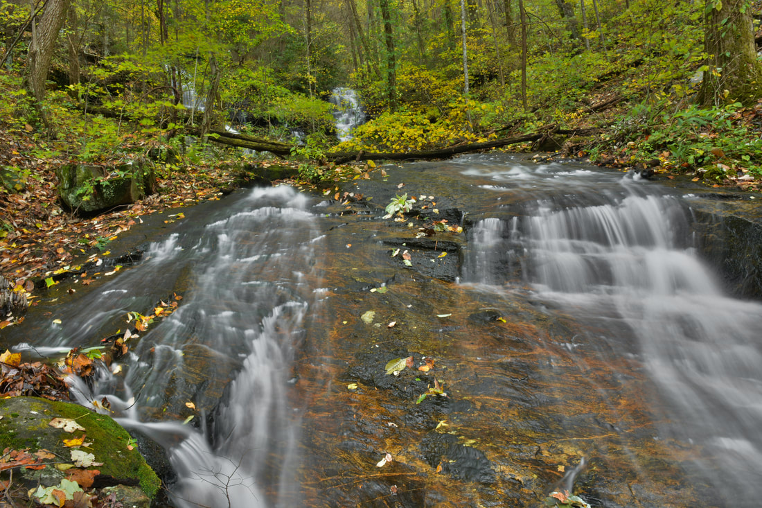
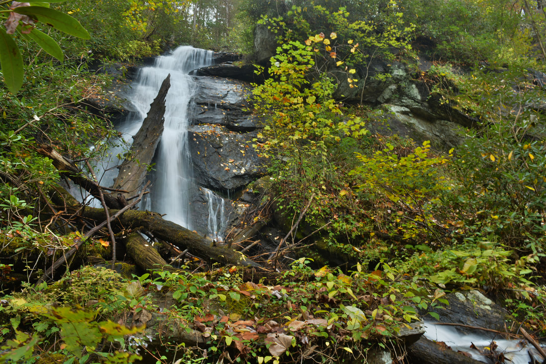
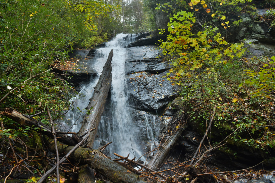
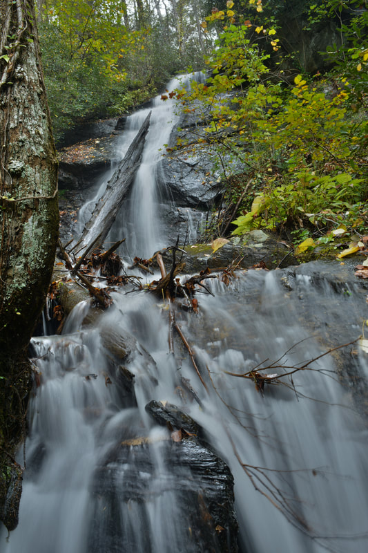
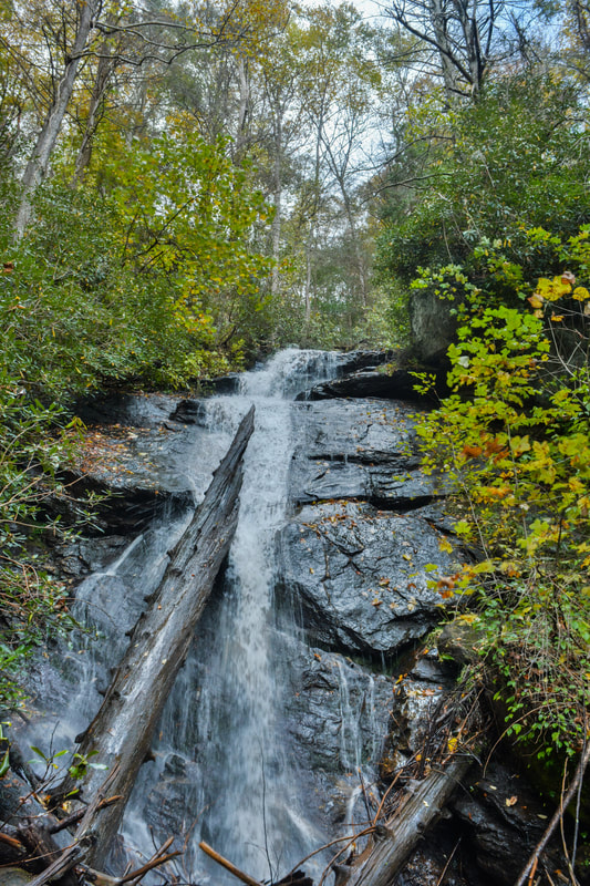
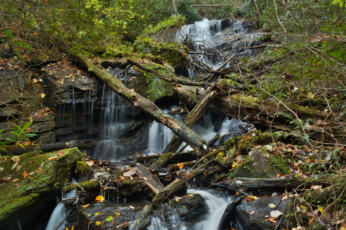
Before heading over to Twin Falls, keep in mind that it is best to see Twin Falls during wet periods, because the stream it is on is very small. In late summer and fall, it's possible that Twin Falls could completely dry up. To see Twin Falls, strike off into the woods upstream along the small stream it is on from the switchback. The small stream will be referred to as Twin Falls Branch here. Initially, try to stay about 30 feet from the stream, because there are a few large boulders closer to the creek. After a small rise, Twin Falls comes into view about 350 feet after you leave the Dockery Lake Trail. A scenic slide and cascade is located immediately below the falls. You may want to hop across the small stream just below the falls for the best view at 6.3 miles. At times of high flow, Twin Falls is a very beautiful and unique waterfall. The two forks of the small Twin Falls Branch both cascade steeply down the stairstep rock face before converging at the base. The photogenic falls is about 20 feet high.
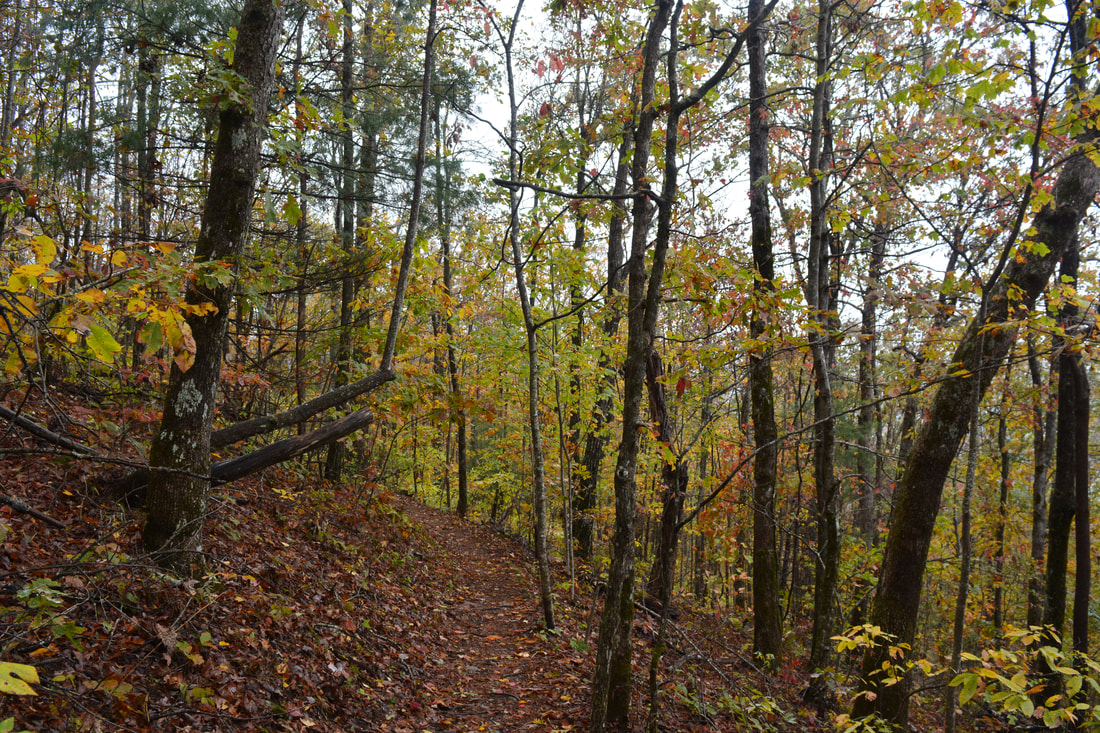
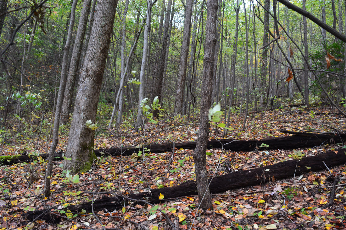
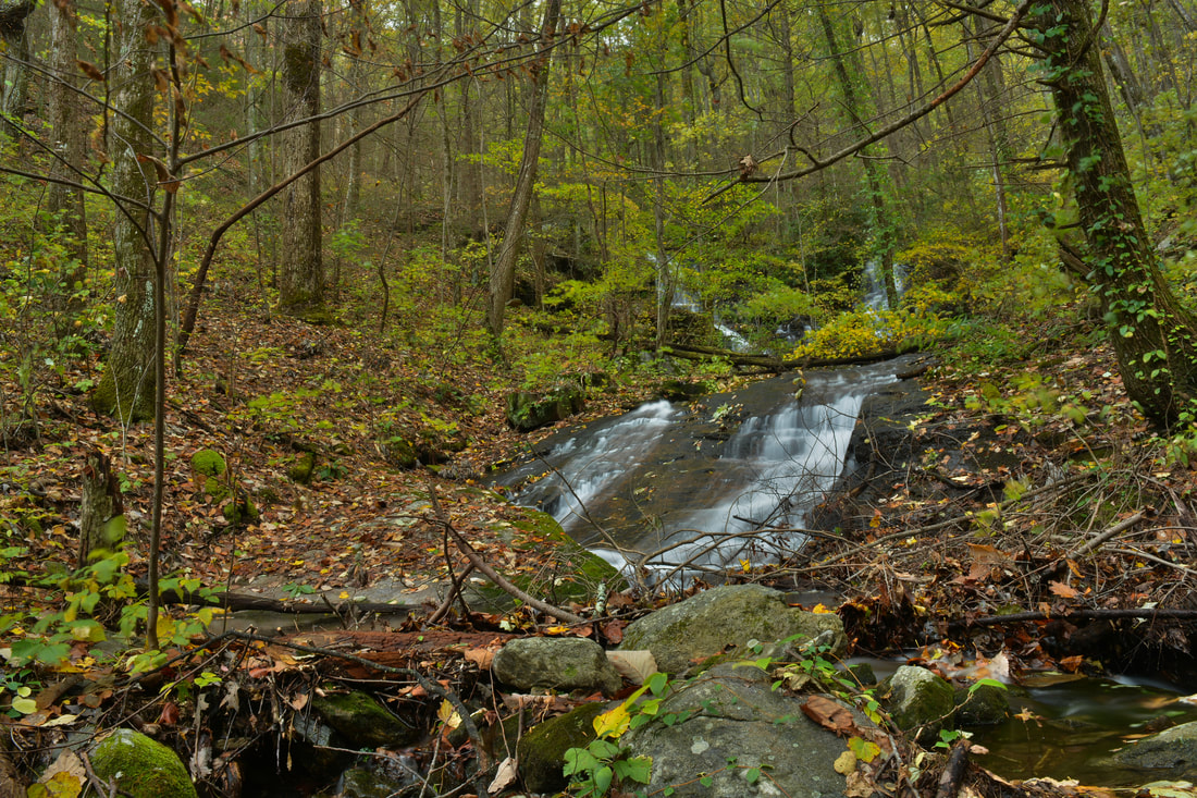
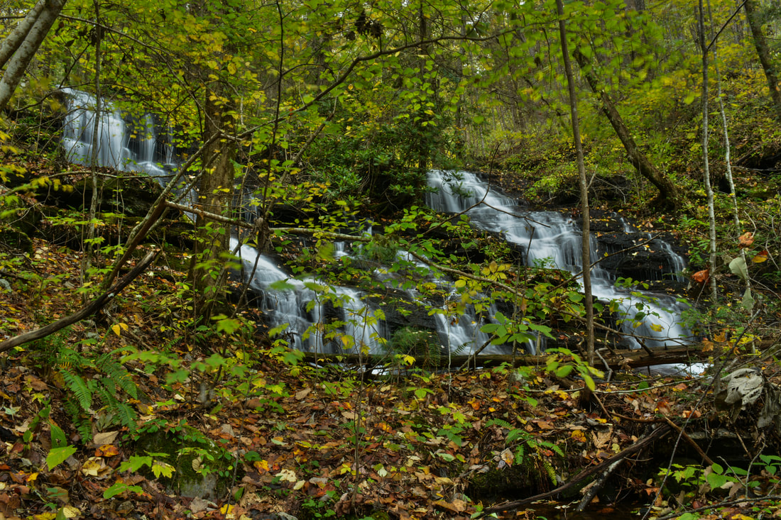
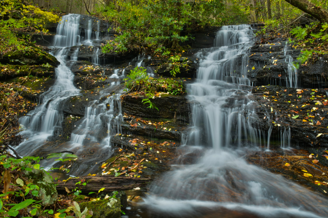
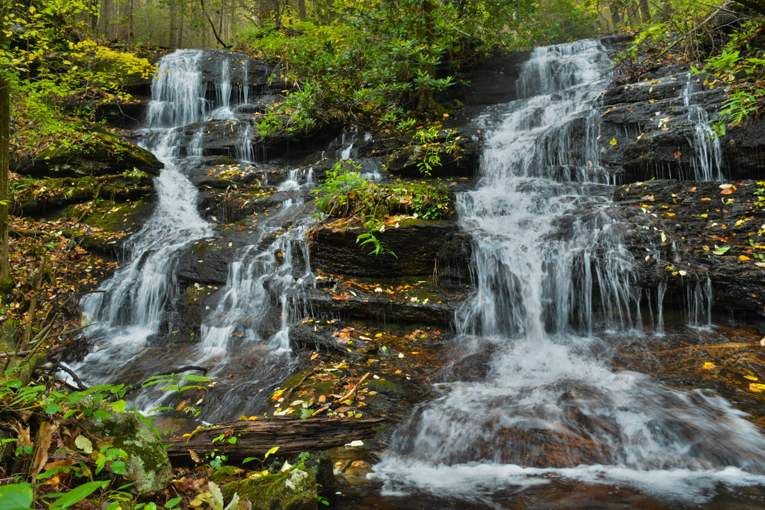
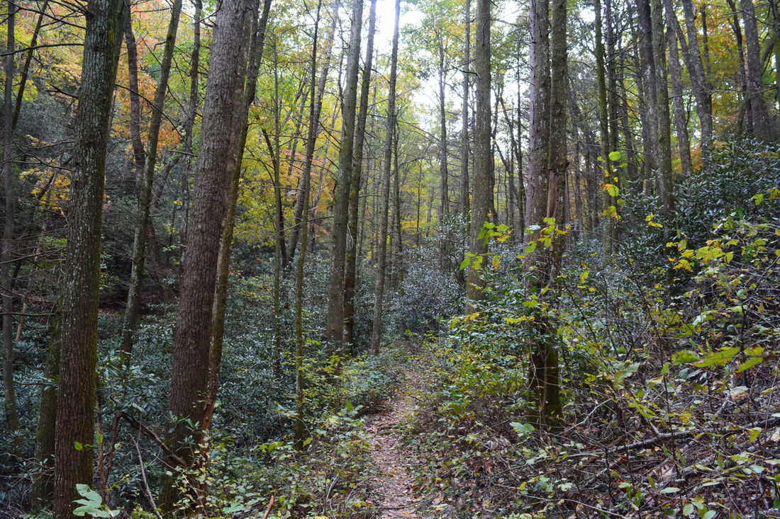
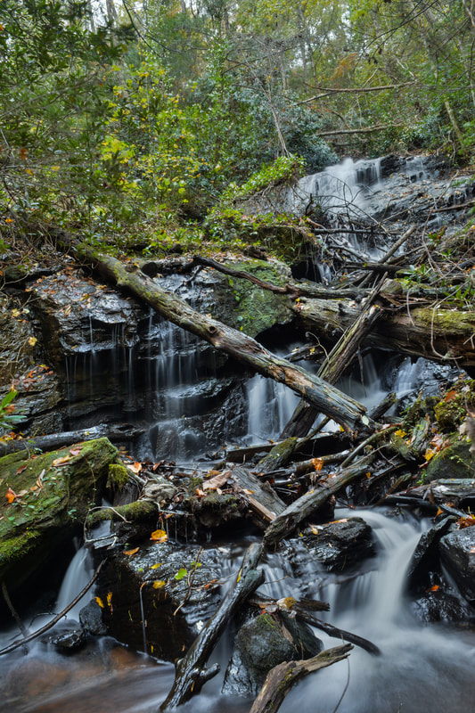
Return to the trail at 6.4 miles and continue following it along the old road grade down alongside Twin Falls Branch. The place that you must turn left off the trail to see Martha's Falls comes about 0.15 miles after the switchback with the Twin Falls turn-off. At the time of my hike, an obscure rock cairn marked the turn-off spot, but don't count on it being there. The turn-off point is about 200 feet before a crossing of Twin Falls Branch on the trail, so if you reach the crossing, you'll know that you have missed Martha's Falls. Once you turn left into the woods, you'll top a small rise where Pigeon Roost Creek comes into view. Head upstream along the creek without descending to creek-level itself. The lower part of Martha's Falls becomes visible about 250 feet from the trail. The lower part is a long steep run of cascades, slides, and chutes. When the flow is good enough, it's a pretty impressive sight, although it's hard to picture properly. However, the upper part of Martha's Falls is the true prize here. If the leaves are off, you may be able to see the upper part through the trees depending on the water flow. To get there, begin scrambling up the extremely steep slope on the same side of the creek. After around 200 feet of scrambling, you will come to a small shelf on the slope with a rock outcrop above it. Turn right here and head to the creek through a small opening in the rhododendron. The upper drop of Martha's Falls is just above this spot - all you have to do is cross the near branch of the creek (should be a dry crossing) and scramble up the rock that is on a small island in the steeply cascading creek. That's where Martha's Falls comes into view, about a tenth of a mile from the Dockery Lake Trail at 6.65 miles. Martha's Falls (the upper tier) is a spectacular sheer drop of about 40 feet. The lower part of it is a near free-fall. The cliff that Pigeon Roost Creek drops over stretches far out along the slope on the east side of the creek. Even though Martha's Falls has its fair share of deadfall, I think it enhances the scene. In particular, I love how the log in the middle appears to slice the waterfall into two. From Martha's Falls, return to the Dockery Lake Trail and continue down the valley along it, crossing Twin Falls Branch shortly (a rock hop at most water levels). The following section of the trail is one of my favorites along the hike as the trail slowly loses elevation alongside or near cascading Pigeon Roost Creek. At 7.4 miles, there is a junction. While the Dockery Lake Trail stays right and begins ascending out of the valley, a side trail bears left and continues down the valley to shortly reach Waters Creek Road. Stay on the Dockery Lake Trail, which loosely follows Jacobs Knob Branch on its way to Dockery Lake before crossing the stream at 7.75 miles. As the trail continues its climb out of the valley, it curves in and out of a couple other small coves. 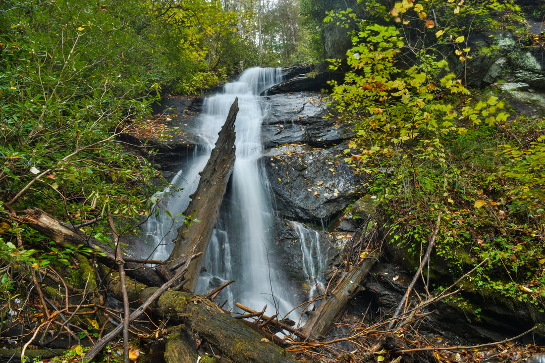
Martha's Falls on Pigeon Roost Creek, a near free-fall of about 40 feet, is one of the more wild and scenic waterfalls in the area when the water levels are high.
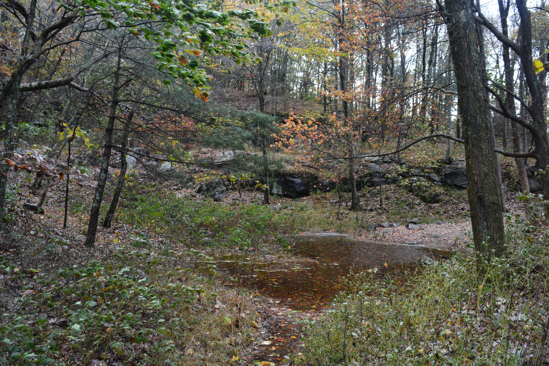
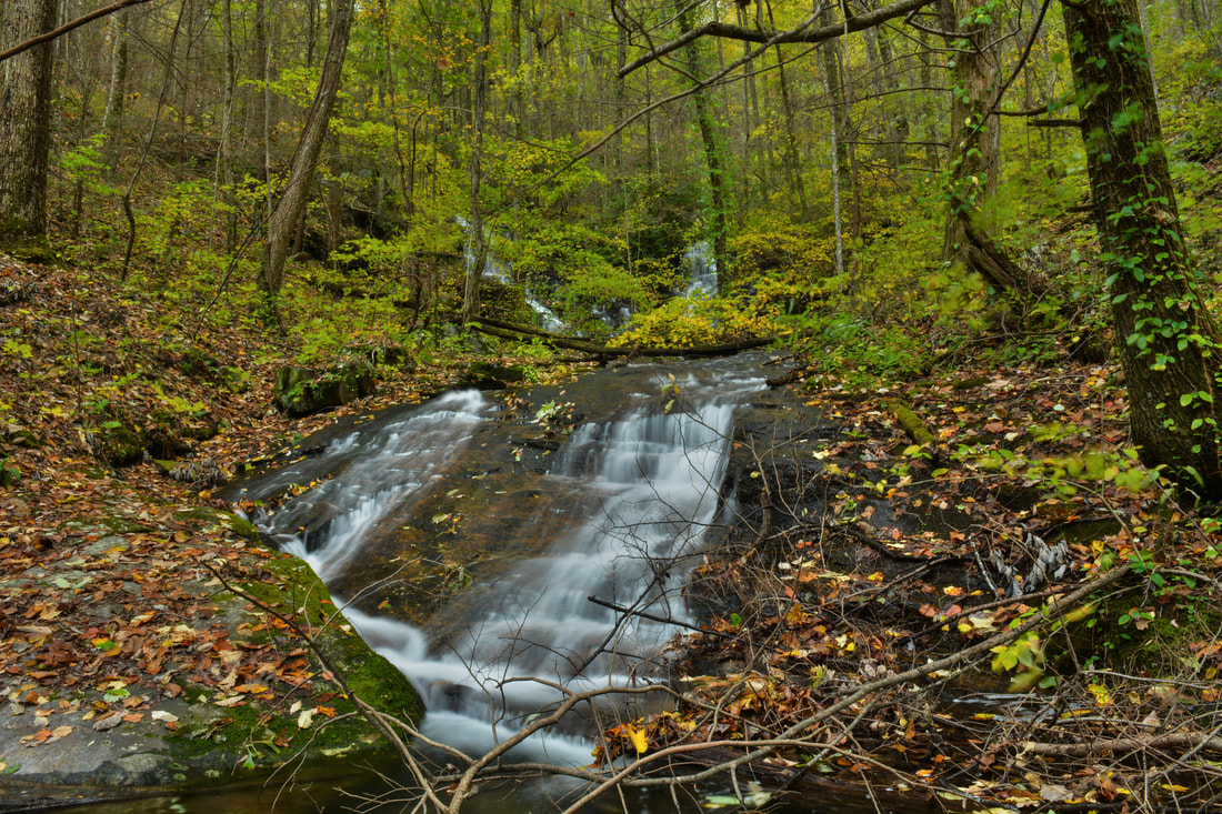
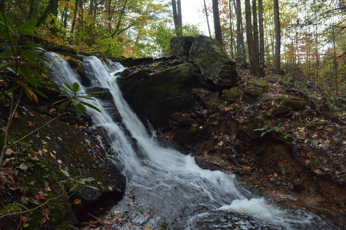
This final ascent along the Dockery Lake Trail is gradual so it is not tiring at all. After the trail finally levels out, there are some nice winter views into the Waters Creek valley to the east around 8.3 miles. Then, at 8.45 miles, notice a very steep side path dropping down to the left to some large rock outcrops. This path actually continues to the waterfall on Waters Creek below Dockery Lake (which I am going to refer to as Dockery Lake Falls). The side trip to Dockery Lake Falls is shorter than the other two waterfalls, but it is extremely steep. Unfortunately, at the time of my hike, Dockery Lake Falls was not a very scenic waterfall - albeit tall - due to heavy deadfall on all parts of it. Thus, I think this side trip will be worth it mainly to hardcore waterfallers, but I am describing it anyway. Once you drop down the path to the rocks, you'll find that the path appears to dissipate past the rocks. Just bear right some and keep east-southeast down the extremely steep slope toward Waters Creek. You'll reach Waters Creek at 8.5 miles, and if you kept going in the right direction, you should have come out at or near the base of the waterfall. In hiking those 250 feet from the trail, you lost 150 feet in elevation!
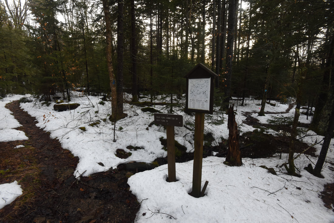
Dockery Lake Falls is a multi-tier waterfall about 40 feet high. It begins with a steep slide followed by small free-falls and cascades. The structure is quite scenic, so it's sad that there are so many dead branches and trees scattered across the waterfall. It's still a nice spot to be at, although it's unlikely that you'll be able to get a great photo until all of the deadfall washes away in a flood. It is possible to get to Dockery Lake Falls from Dockery Lake too by following the River Right (east) side of Waters Creek below the dam, but that approach is more confusing and involves a muddy and slippery descent alongside the waterfall, so I do not recommend it. Return to the Dockery Lake Trail and follow it as it curves into the Water Creek drainage. At 8.7 miles, the Dockery Lake Trail reaches Dockery Lake, where there is a large observation deck near the dam. A natural cascading waterfall at the end of the dam spillway is visible on Waters Creek to the left just before the trail reaches the lake. At Dockery Lake, it is best to stay right and follow the trail along the west side of the lake - although it is a loop trail, so if you turn left and follow the east side of the lake, you'll come out at the same place, but you'll pass through the Dockery Lake Campground and experience less solitude. After following Dockery Lake for 0.2 miles, turn right onto the access trail to FS 654. You should reach the turnaround/parking area at the end of FS 654 and Dockery Lake Trailhead at 9.0 miles. From here, the rest of the hike is a walk along gravel FS 654 that is necessary to close the loop. Turn left onto the road, bearing right shortly as another gravel road goes straight into the campground. Follow Dockery lake Road (FS 654) for 1.3 miles as it gradually rises toward the ridgeline before ending at Highway 60 in Dockery Gap at 10.3 miles. Here, turn right, and walk along the broad shoulder of Highway 60 North for 0.1 mile to conclude the loop, reaching your car at Chestatee Overlook at 10.4 miles. 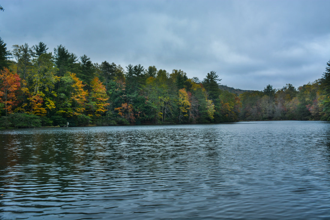
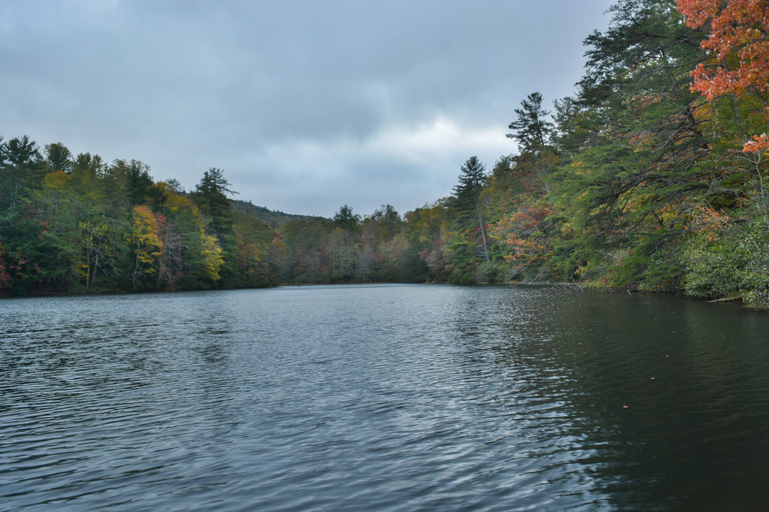
The small man-made Dockery Lake is a pretty spot near the south end of the Dockery Lake Trail - especially when the shoreline is draped in fall colors.
Mileage
0.0 - Chestatee Overlook
1.0 - Steeltrap Knob Vista 1.7 - Woody Gap 2.7 - Preachers Rock 3.3 - Big Cedar View 4.7 - Dockery Lake Trail Junction 5.7 - Pigeon Roost Creek Crossing 6.3 - Twin Falls 6.65 - Martha's Falls 7.4 - Junction with Trail to Waters Creek Road 8.5 - Dockery Lake Falls 8.7 - Dockery Lake 9.0 - FS 654 10.3 - Highway 60 10.4 - Chestatee Overlook Variations
Hike out and back to Steeltrap Knob from Woody Gap - 1.4 Miles
Hike out and back to Steeltrap Knob from Chestatee Overlook - 2.0 Miles Hike out and back to Preachers Rock from Woody Gap - 2.0 Miles Hike out and back to Steeltrap Knob and Preachers Rock from Chestatee Overlook - 5.4 Miles Hike out and back to Twin Falls, Martha's Falls, and Dockery Lake Falls from FS 654 at Dockery Lake - 5.1 Miles Hike out and back to Preachers Rock and the waterfalls from FS 654 - 12.3 Miles Bonus Stops
Consider visiting the beautiful Cane Creek Falls in the Glisson Camp and Retreat Center near Dahlonega, accessible by a very easy and short walk.
PicturesVideos
0 Comments
Leave a Reply. |
About MeMark Oleg Ozboyd Dear readers: I have invested a tremendous amount of time and effort in this website and the Georgia Waterfalls Database the past five years. All of the work that has gone in keeping these websites updated with my latest trip reports has almost been like a full-time job. This has not allowed me to pick up a paid job to save up money for college, and therefore, I I've had to take out loans. If you find the information on this website interesting, helpful, or time-saving, you can say "thanks" and help me out by clicking the button above and making a contribution. I will be very grateful for any amount of support you give, as all of it will apply toward my college tuition. Thank you!

Coming in 2022-2023?
Other Hiking WebsitesMiles HikedYear 1: 540.0 Miles
Year 2: 552.3 Miles Year 3: 518.4 Miles Year 4: 482.4 Miles Year 5: 259.9 Miles Archives
March 2021
Categories
All
|
||


 RSS Feed