The Pinnacle, a famous rock outcrop that stands sentinel over the town of Sylva, is known well throughout the hiking community for its breathtaking views. The Pinnacle and Blackrock Mountain - a nearby peak with another stunning view - are part of the Plott Balsam Mountains, which are among the highest mountains in the Southeast. The area around The Pinnacle and Blackrock used to be a watershed that provided all of Sylva's drinking water and was strictly off-limits. However, as Sylva became in need of a better water supply, the watershed was transformed into Pinnacle Park. Later, the Blackrock Ridge Tract - an area of previously-private land that included Blackrock Mountain - was purchased, and today, a well-used network of trails connects The Pinnacle and Blackrock to the park's entrance off Fisher Creek Road and to the Blue Ridge Parkway. This hike occurred on Saturday, February 3rd, 2018. My plan was to hike the West Fork/East Fork Loop clockwise. Along the way, I would make side trips to The Pinnacle and Blackrock, and I would also bushwhack to Gina Falls and Fisher Falls.
Summary
R/T Length of Trail: 10.5 Miles
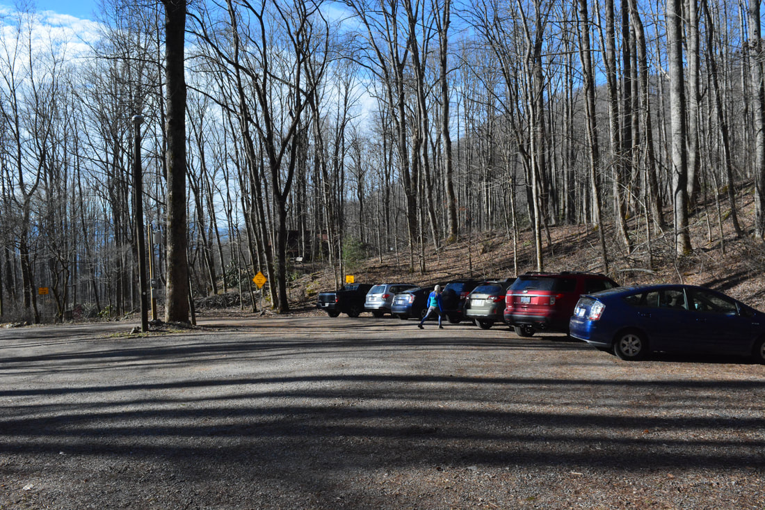
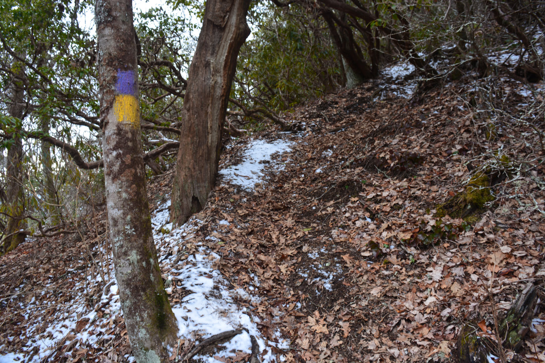
Duration of Hike: 6:00 plus 2.5 hours of stopping and photography Type of Hike: Lasso with Spurs Difficulty Rating: 10 out of 10 Total Elevation Gain: 4760 Feet Pros: Well-defined trails; outstanding views Cons: Very steep final climb to Blackrock Points of Interest: Split Rock; Gina Falls - 6 stars; The Pinnacle Vista - 9 stars; Blackrock Mountain Vista - 10+ stars; Fisher Falls - 5 stars Trail Blaze Colors: All trails in Pinnacle Park at blazed with the same gold-and-magenta double blaze Best Seasons to Hike: Winter Fees: None Beginning Point: End of Fisher Creek Road Directions from Sylva, NC: From the intersection of Main Street (NC 107) and Asheville Highway (US 23-Business) just east of downtown Sylva, follow Asheville Highway north for 0.2 miles. Then, turn left onto Skyland Drive and continue for 1.6 miles. Just after the US 23/74 overpass, turn left onto Fisher Creek Road. Follow this steep dead-end road for 2.1 miles to the turnaround parking area in Pinnacle Park. Map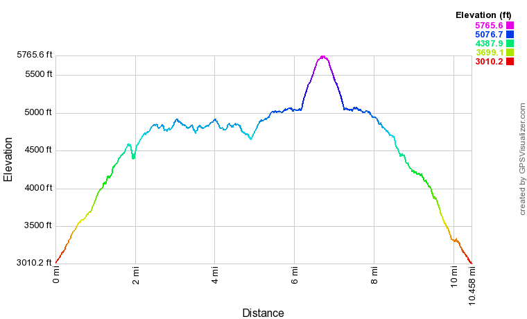
Note: Due to some accidental GPS data loss from this hike, I have decided to omit a link to the .GPX file download for this hike. Parts of the track above may not be totally accurate, though the track should be pretty close. Regardless, the trails are all easy to follow. I will provide GPS coordinates for the two waterfalls farther down in the trail report.
Details
My first attempt at tackling Blackrock Mountain was back in November 2014. That hike took place in the aftermath of a severe early-winter storm that left several inches of snow in the higher elevations, accompanied by bitter cold wind chills. These conditions significantly slowed my hike, and thus, I only made it to The Pinnacle. In addition, the views were nearly non-existent due to a low cloud ceiling. Thus, I was determined to hit both viewpoints in clear weather on my second Pinnacle Park hike in February 2018, over three years later. I would also stop by two waterfalls that I had no knowledge of at the time of my first visit.
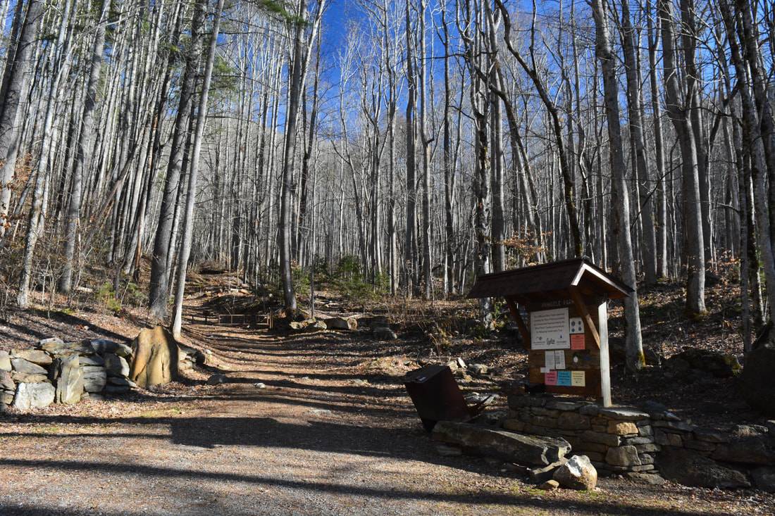
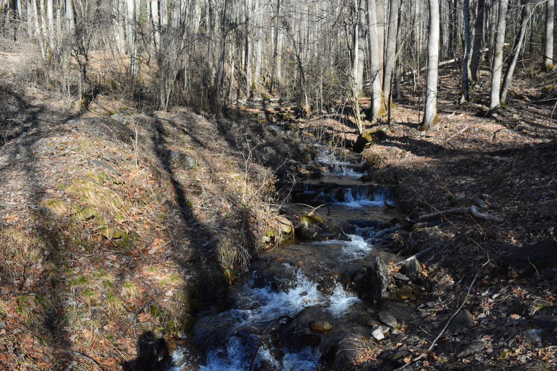
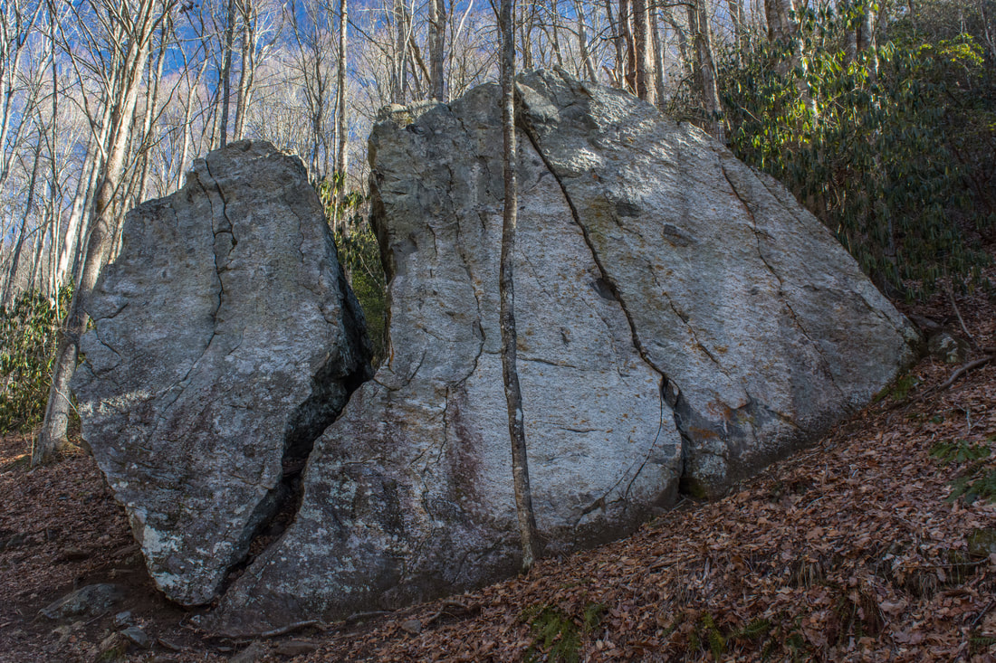
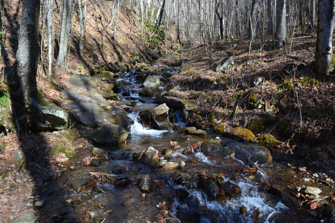
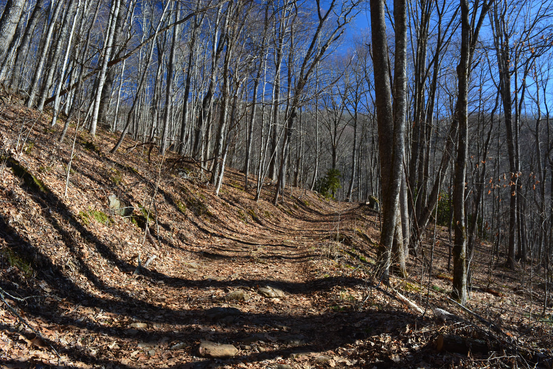
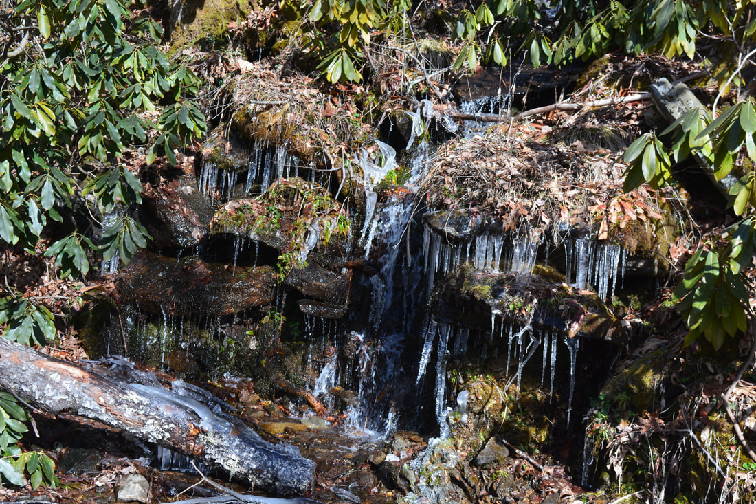
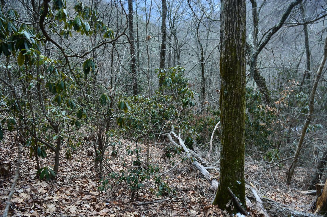
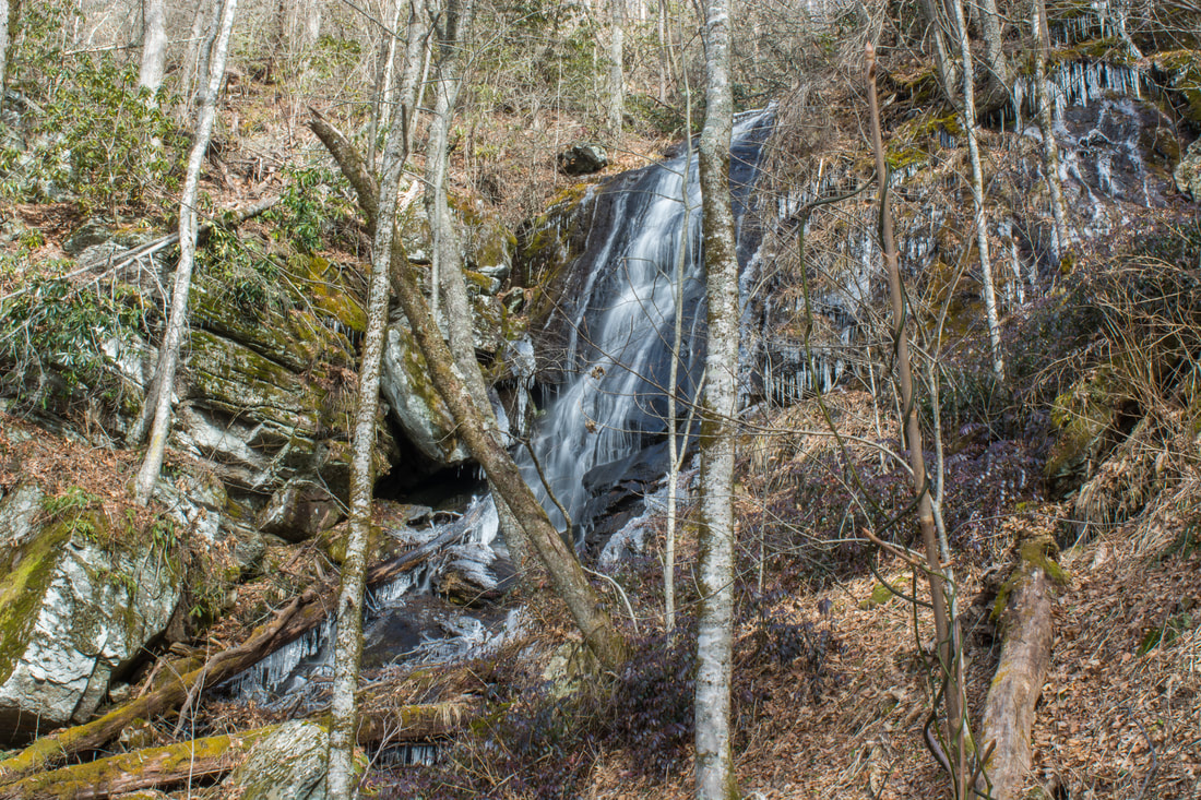
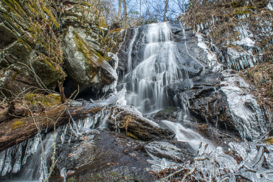
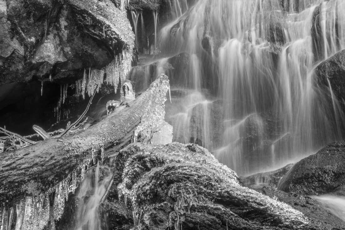
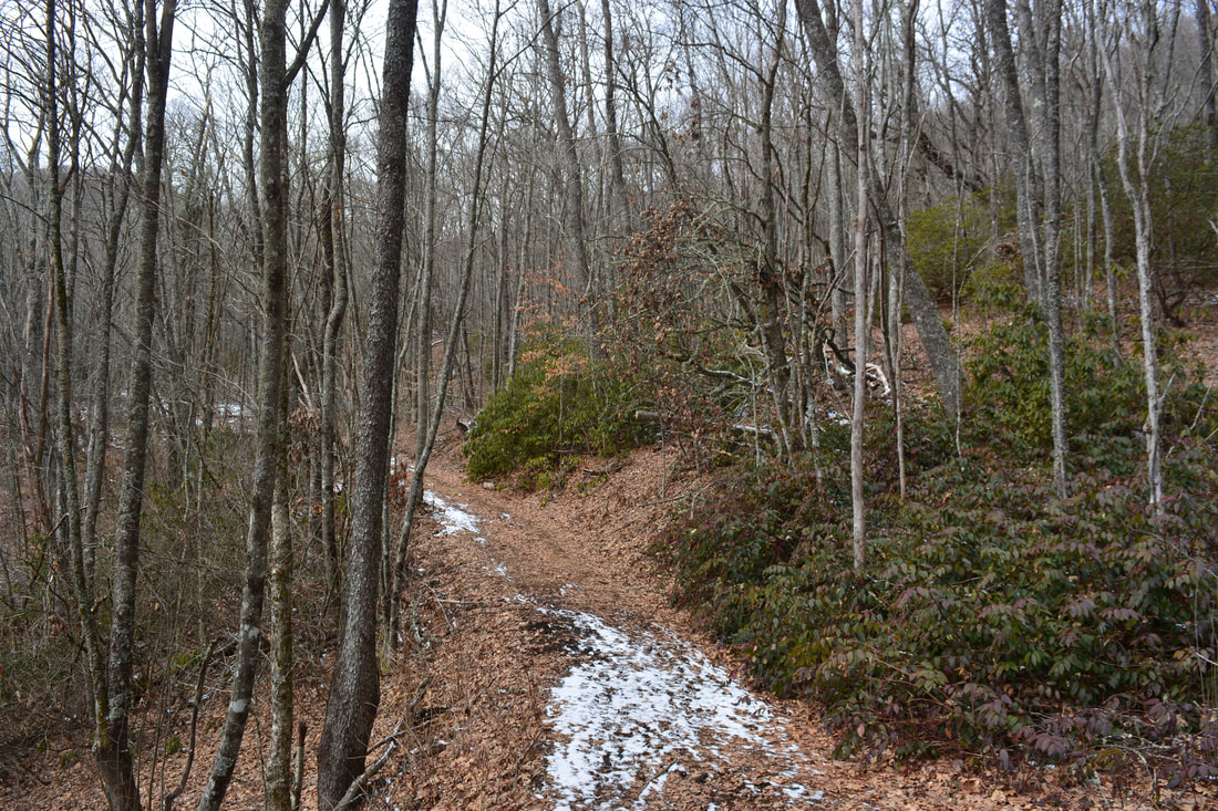
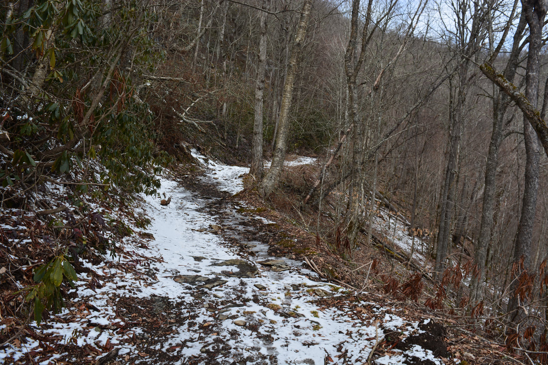
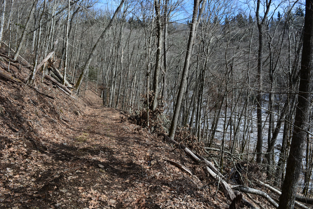
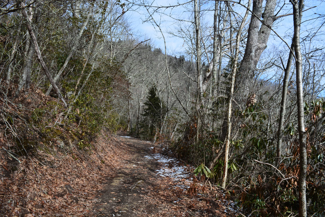
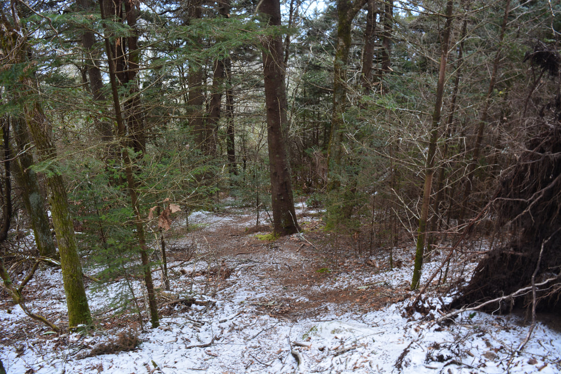
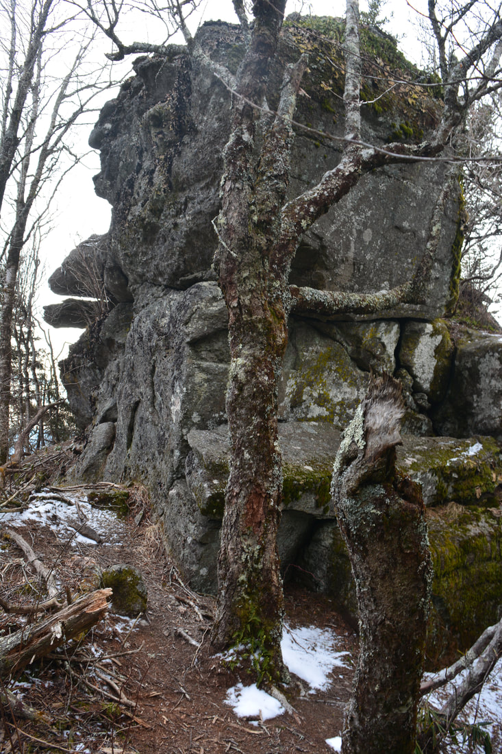
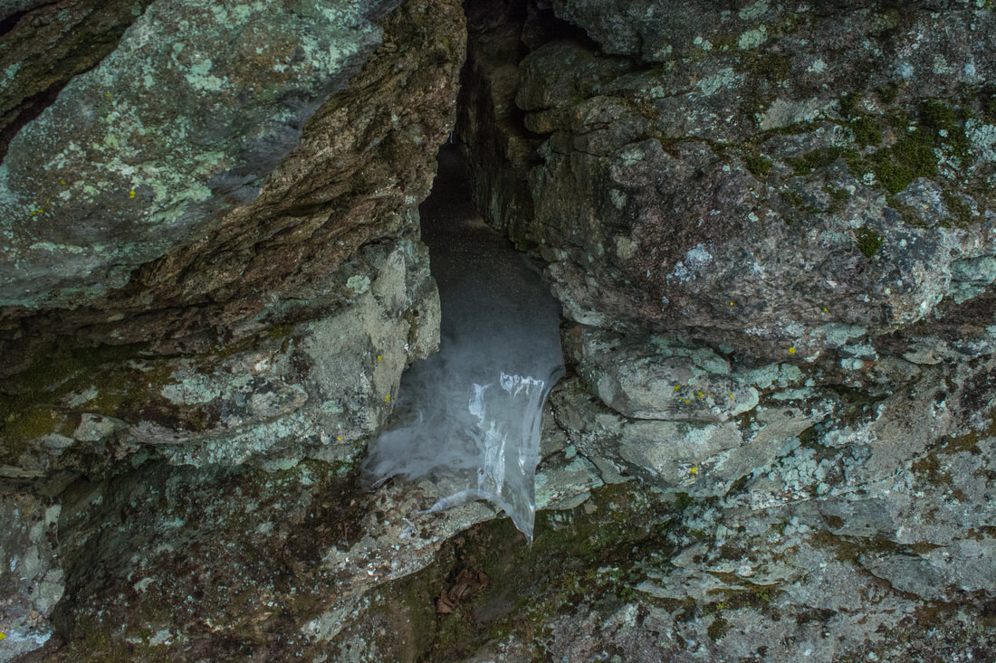
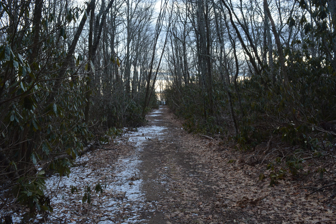
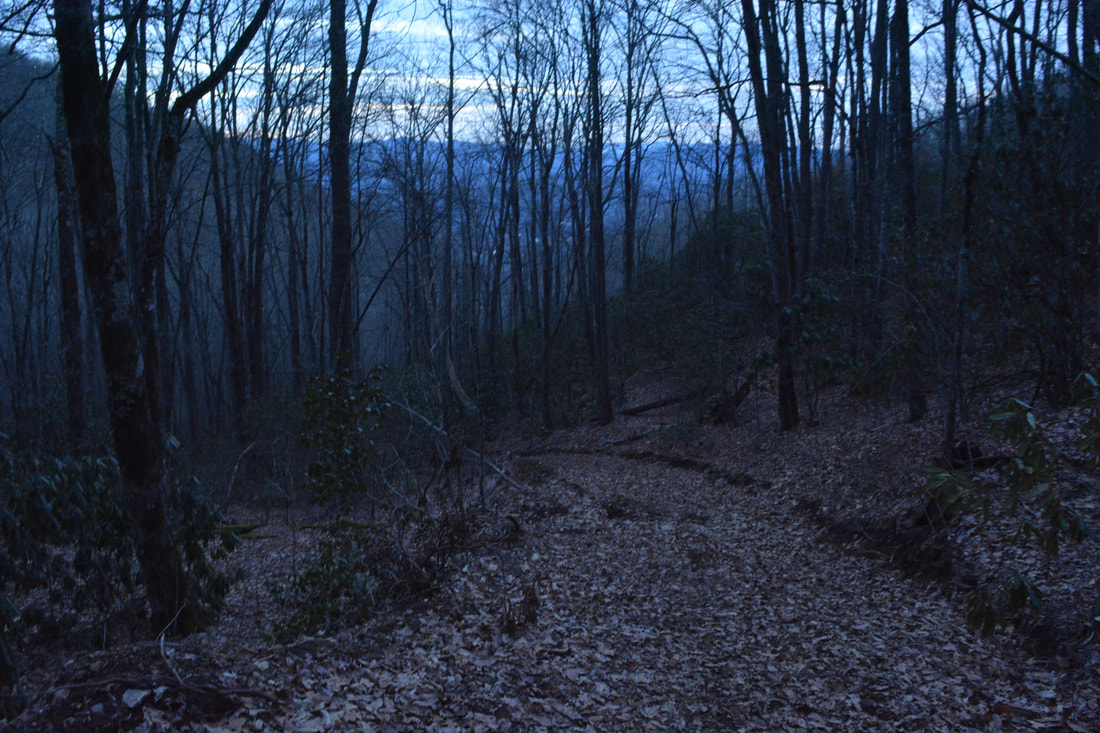
The hike begins on the West Fork Trail by the gate. Make sure to sign in at the kiosk before starting the hike. The West Fork Trail instantly begins a moderate-to-strenuous climb along a washed out roadbed that used to serve as the primary access into the Sylva Watershed. In fact, most of the West Fork Trail follows this rocky roadbed. In its first two miles, the West Fork Trail climbs about 1600 feet. Initially, the trail passes a couple of small ponds on West Fork Fisher Creek and a connection to the Bridge Trail (an easy nature trail). After a culverted crossing of the creek and a campsite, the trail comes to the start of the loop at a junction with the East Fork Trail at 0.3 miles. The East Fork Trail is a little more scenic than the West Fork Trail, but parts of it are even steeper! Although I chose to hike the loop clockwise, there probably isn't much of a difference regardless of the direction you do it in. A little farther at 0.5 miles, the West Fork Trail passes a massive trailside rock formation that is known as Split Rock. Then, the trail crosses West Fork Fisher Creek once more and begins climbing out of the valley. At 1.6 miles, the trail crosses a relatively large double tributary of West Fork Fisher Creek that is shown on the topo map. A quarter-mile farther, at 1.85 miles, the trail crosses another sizable tributary with a small cascade just above the road. At 1.9 miles, 250 feet past the latter stream crossing, the trail makes a curve to the left around a small ridge. At the same time, falling water may be audible on Fisher Creek down below. This is the best place to begin the bushwhack to Gina Falls. The coordinates for the turn-off are N35° 26.365' W83° 11.421'. The bushwhack is only 0.15 miles roundtrip, but it's not very obvious and quite steep, so it's best for experienced hikers only. The key to the Gina Falls bushwhack is to not directly follow the sound of the water at first. If you try bushwhacking straight to the creek, you'll probably come out atop a 40-foot cliff above the waterfall. What you should do instead is bushwhack down the lead of sorts almost parallel to the creek for 200 feet. You're aiming towards the confluence of the last tributary with the main stream. When the woods open up a little to the left (not quite at the confluence yet), turn left and descend a very steep slope 50 yards to the creek. You should come out at the creek at a point just below Gina Falls - the waterfall will likely be visible pretty well. For the best views of the falls, you may have to scramble around a little, but you'll keep your feet dry thanks to the creek's small size. Gina Falls is over 40 feet high. The upper tier is a near-vertical slide, whereas the lower tier is a long cascading run. The setting is very beautiful; cliffs run on both sides of the falls. In particular, I love the jagged, mossy bluff on the River Left (facing downstream) side of the falls. While Gina Falls isn't overly photogenic due to trees that impede the view, photographers can get nice shots of the upper section, as long as they manage to scramble up there. The coordinates for Gina Falls are N35° 26.332' W83° 11.418'. Gina Falls was discovered by local waterfaller Paul Albert, who named it after his wife Gina. New info as of 3/5/18: A small split-flow waterfall lies on West Fork Fisher Creek about 200 feet above Gina Falls at the coordinates N35° 26'21.4" W83° 11'22.7". Under the right conditions, it may be worth a look. In addition, another small but scenic waterfall is located about 350 feet downstream from Gina Falls at the coordinates N35° 26'17.2" W83° 11'27.2". Thanks Beth Bradshaw and Paul Albert for sharing info about these two small falls! Although Gina Falls remains the star of the West Fork Fisher Creek watershed, these additional drops can be nice add-ons for hardcore waterfallers. 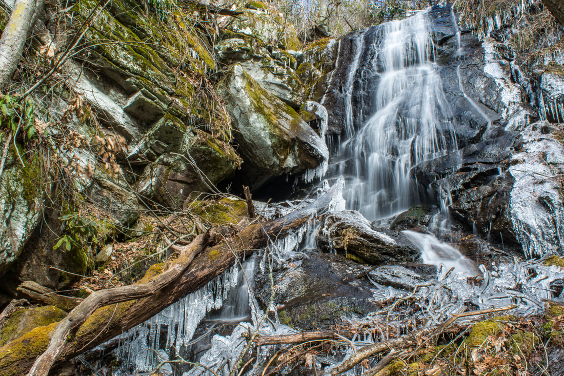
The upper tier of 40-foot Gina Falls on West Fork Fisher Creek
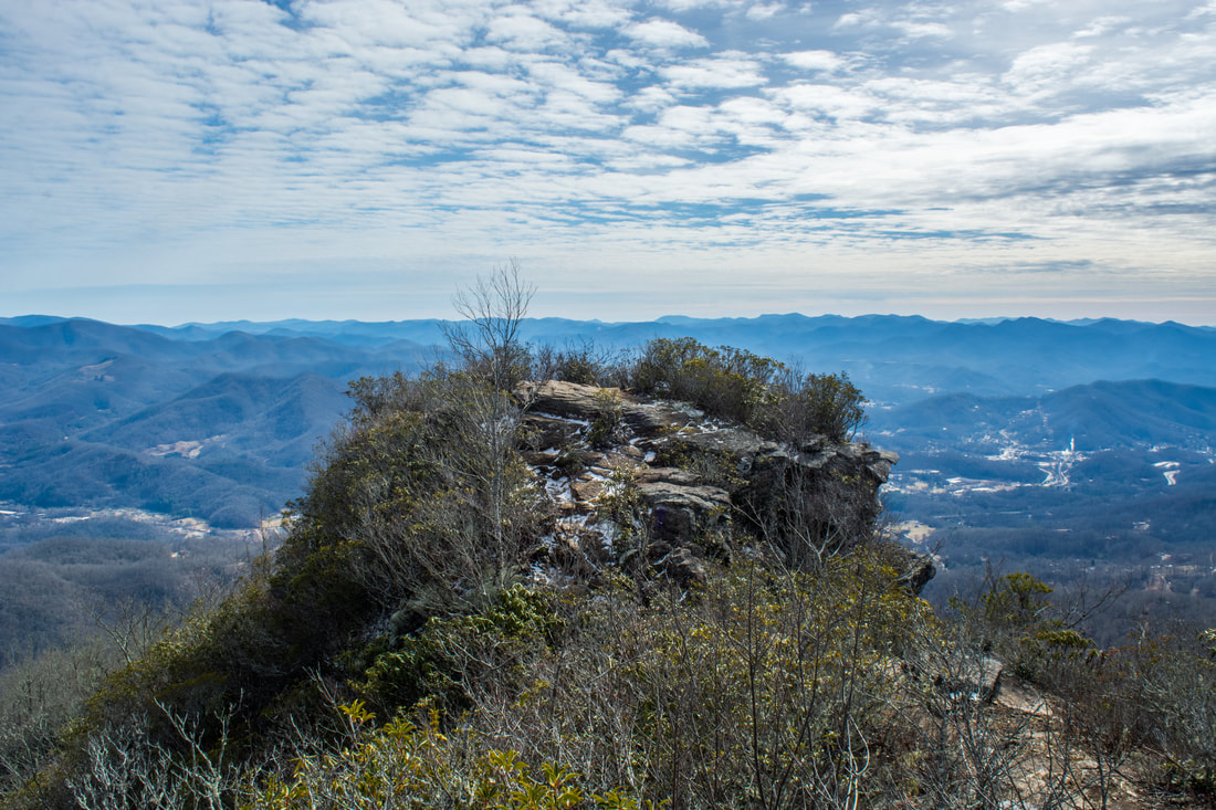
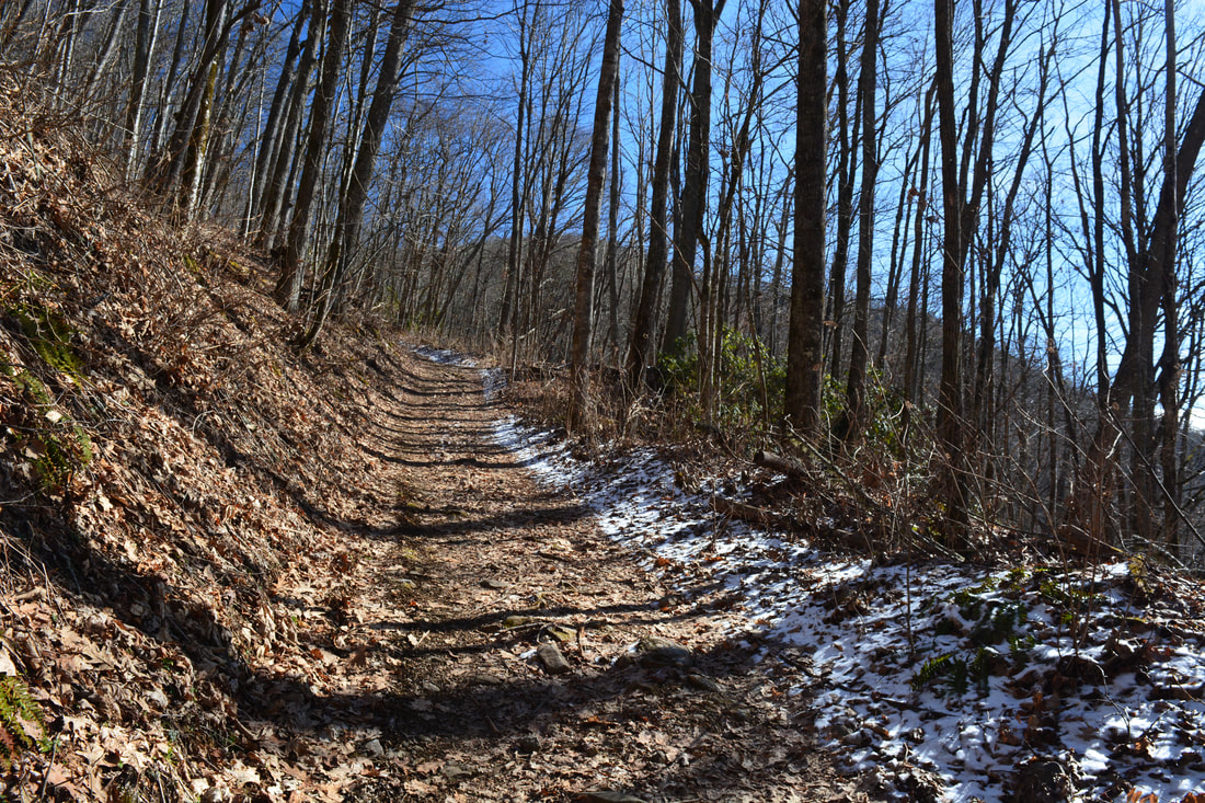
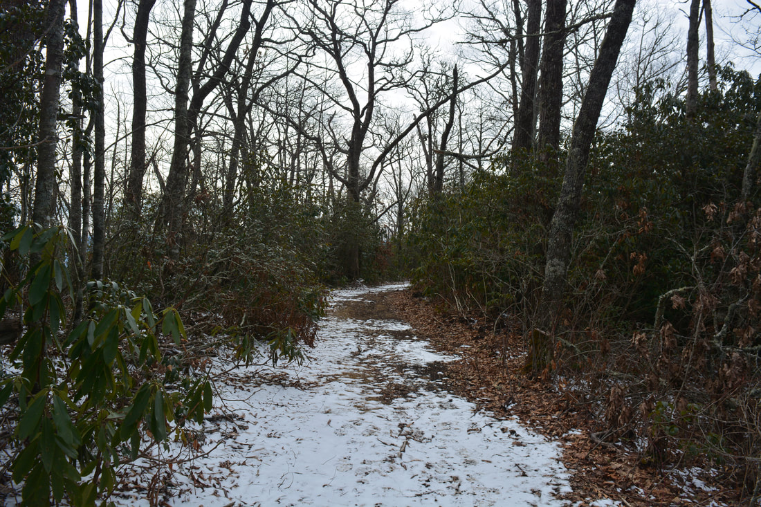
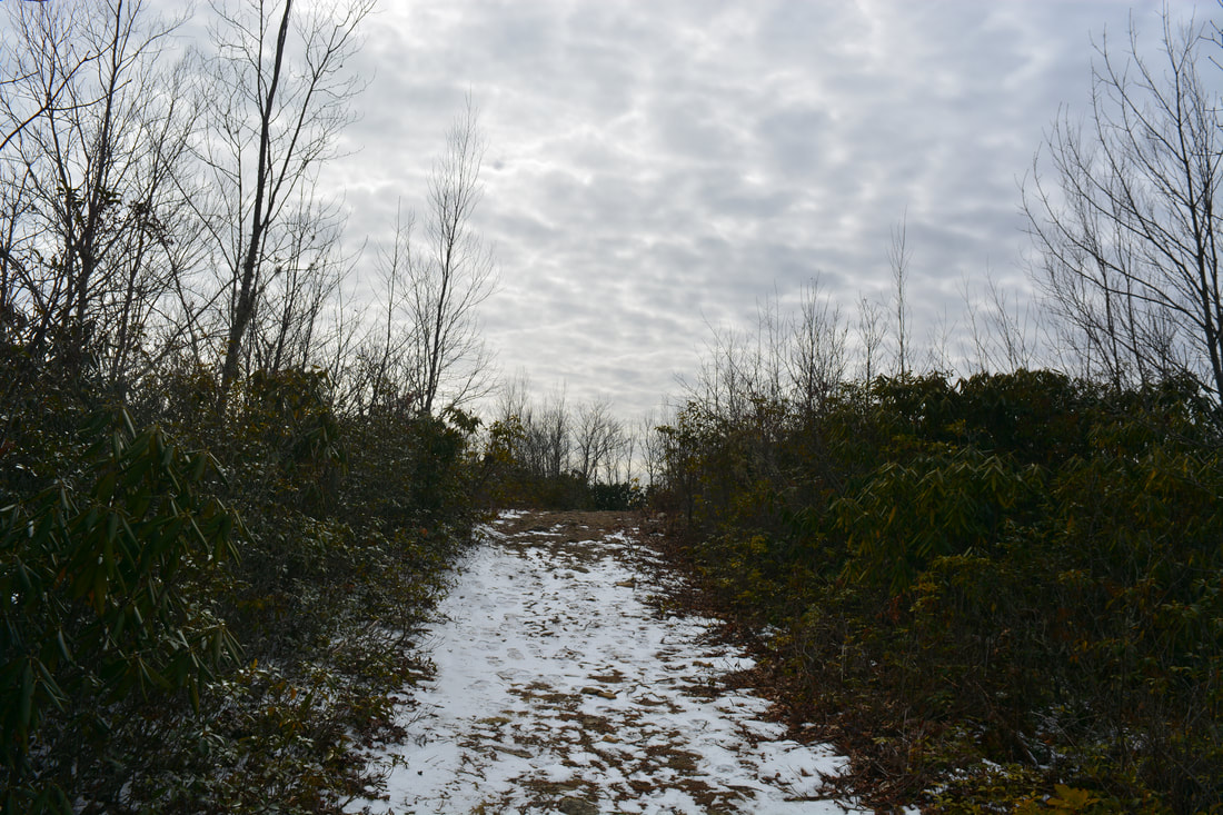
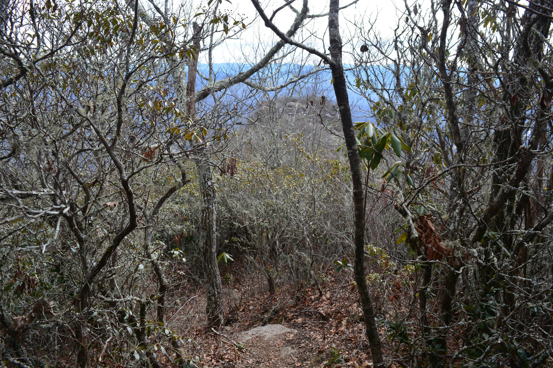
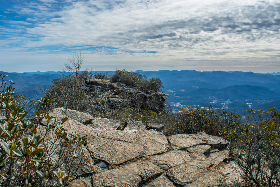
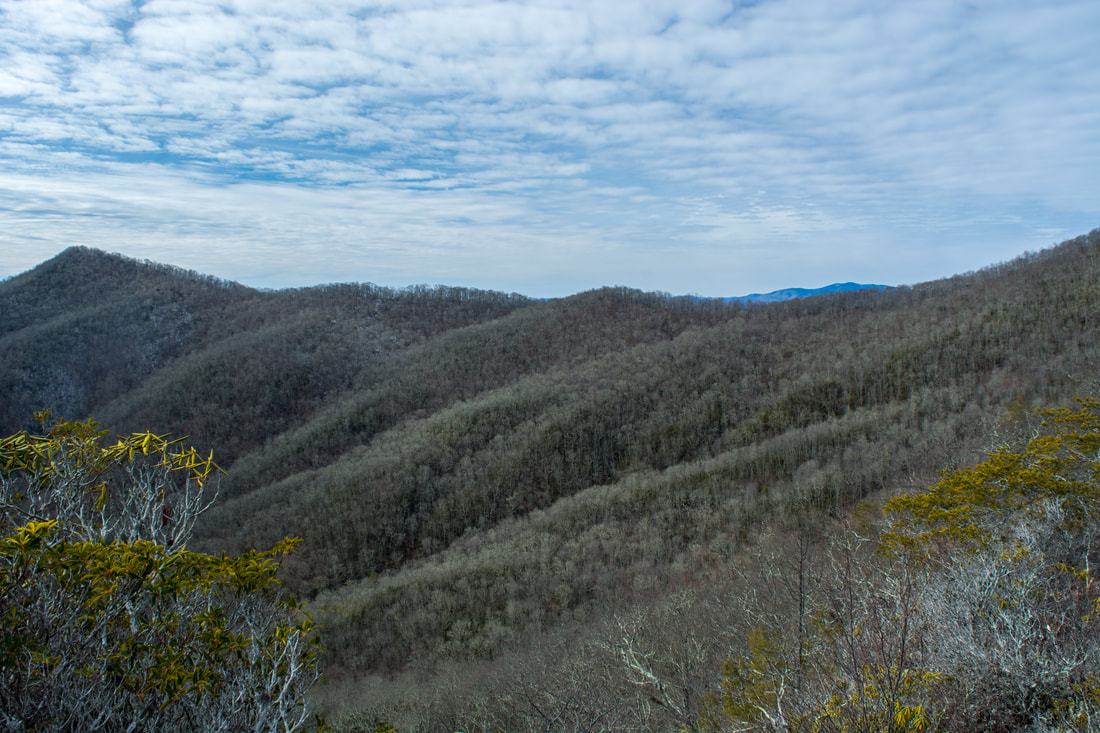
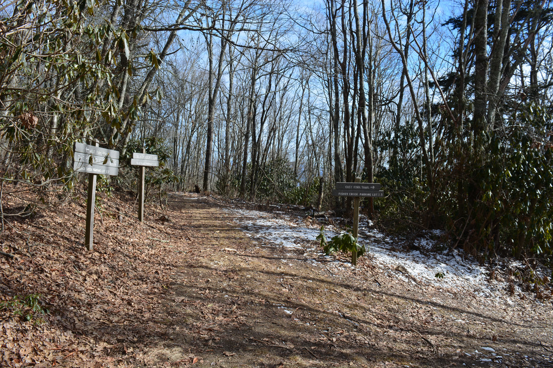
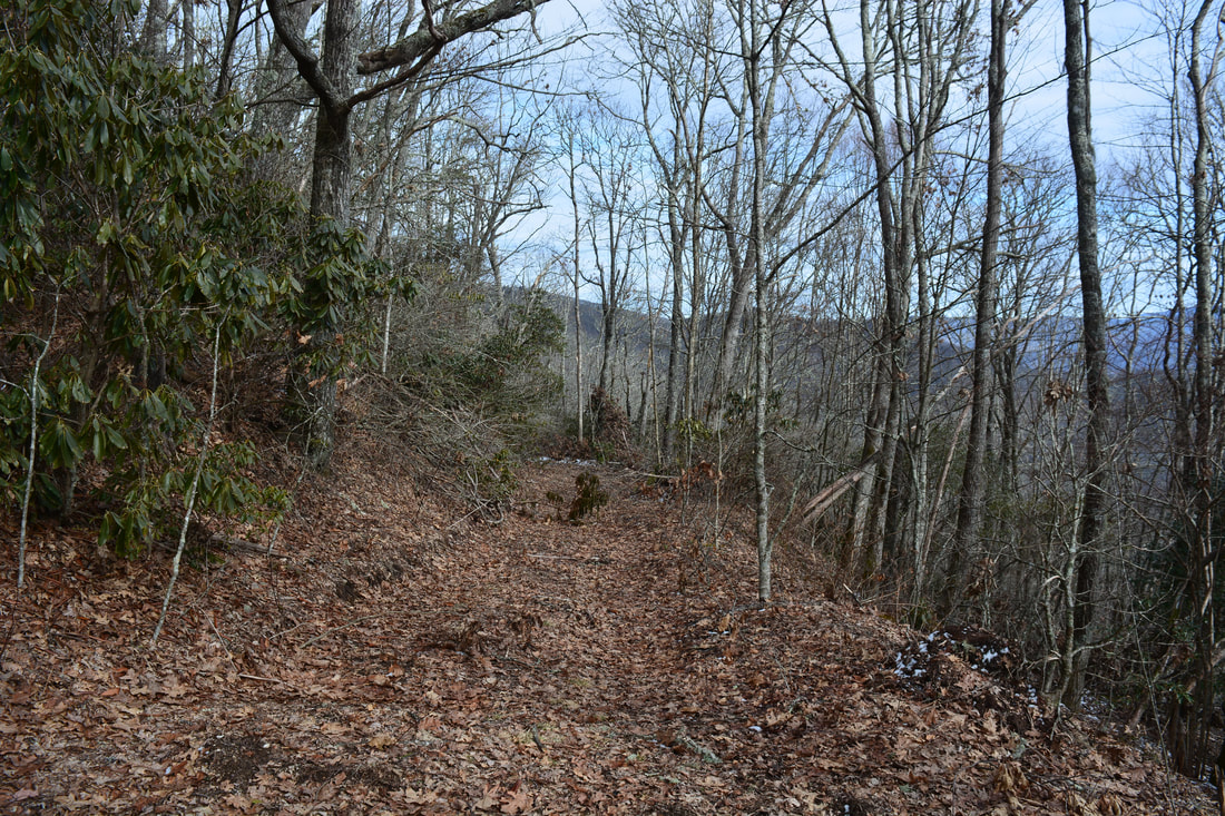
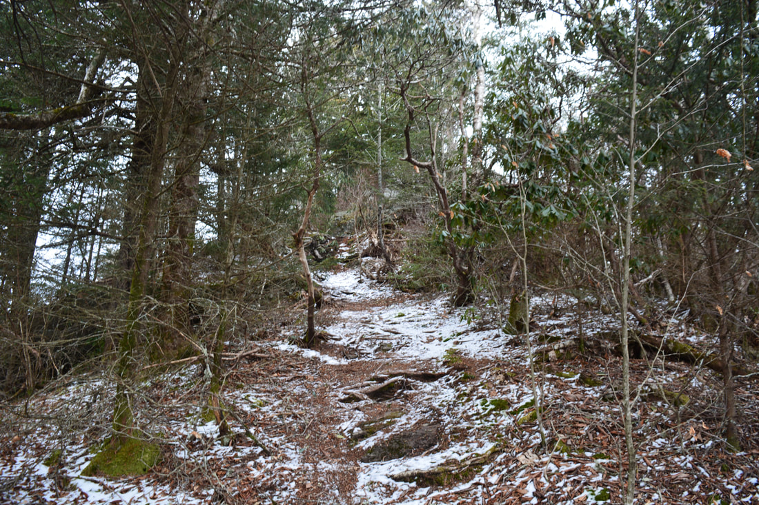
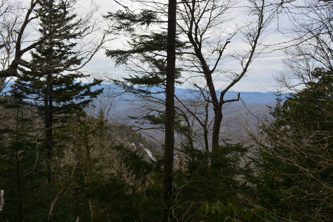
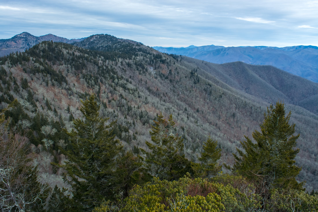
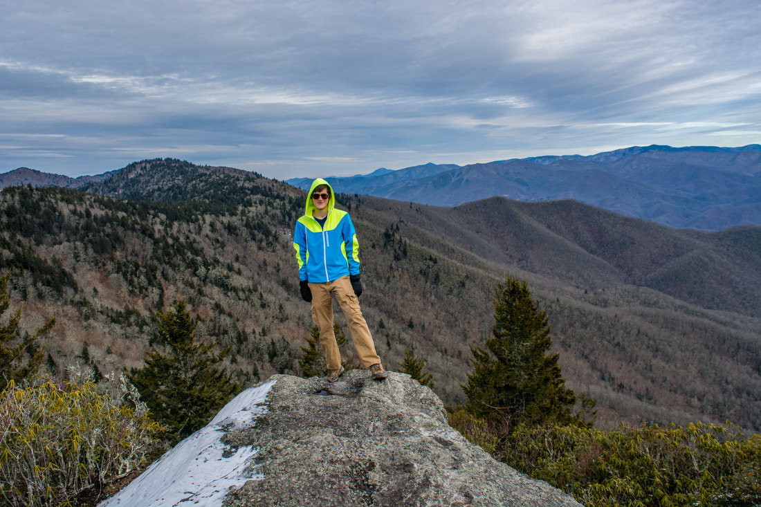
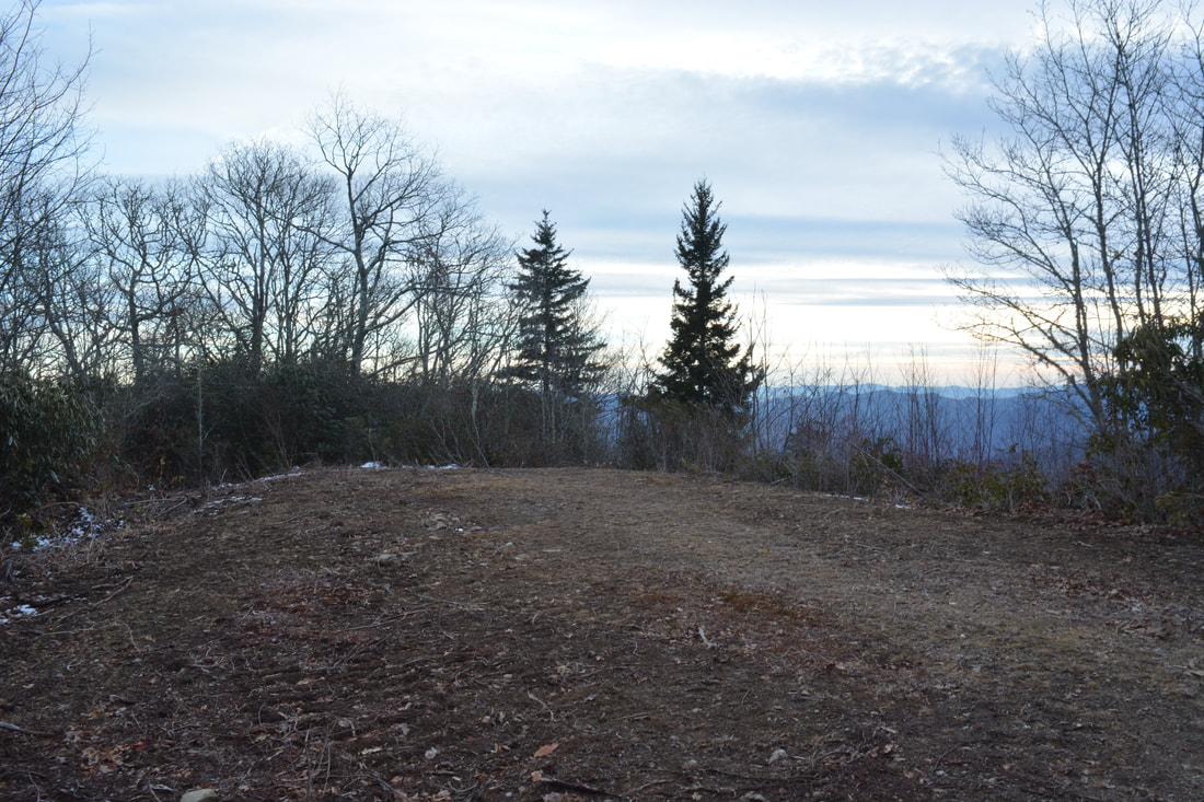
Resume following the main trail at 2.05 miles. A gentle ascent brings the trail to a junction with spur trail to The Pinnacle at 2.15 miles. This hike turns left onto The Pinnacle Trail for a 2.8-mile roundtrip side trip to The Pinnacle. This trail follows a gently-ascending old roadbed too, although around 2.6 miles, the trail levels out. A short steep pitch brings the trail onto the ridge below Pinnacle Bald at 3.05 miles. From here, the broad trail descends along the ridge amidst rhododendron tangles. Enter a clearing with a campsite at 3.4 miles. The old roadbed ends shortly - look for a narrow path dropping down into the rhododendron jungle. This is the final path to The Pinnacle, which the trail reaches at 3.55 miles. The Pinnacle is a very unique rock pinnacle with 360-degree views of the surrounding mountains. The town of Sylva lies in the Tuckasegee River Valley over 2000 feet lower. The Cowee Mountains rise up ahead and the Plott Balsam Mountains are to the left. The tallest mountain behind you is Blackrock Mountain, your next destination. To the right is the pointed Perry Top.
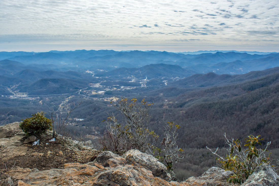
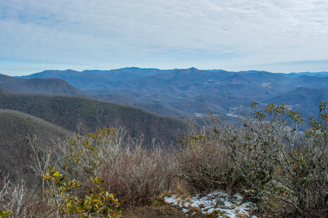
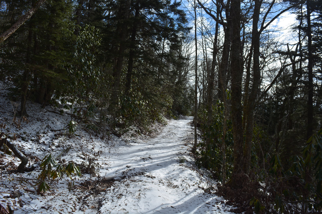
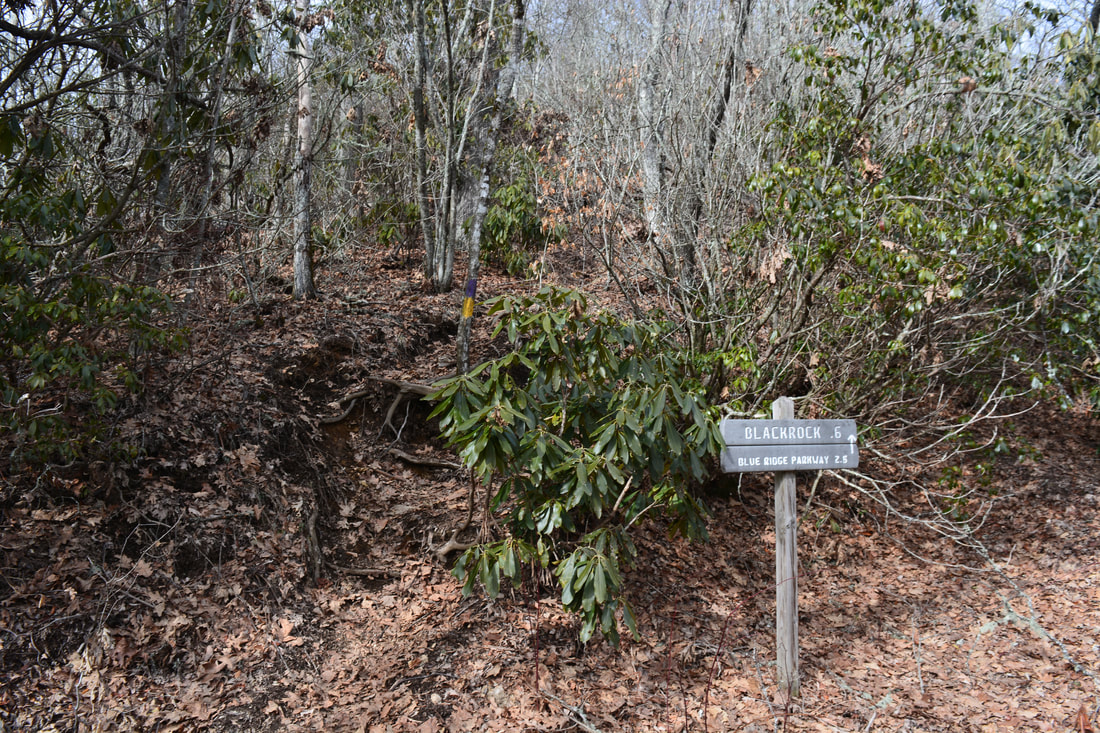
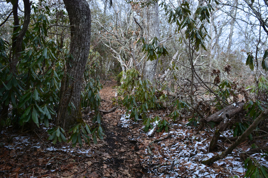
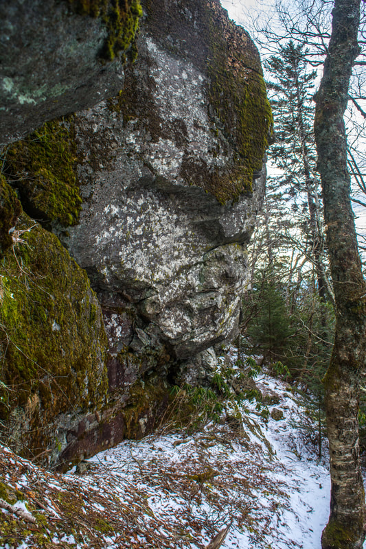
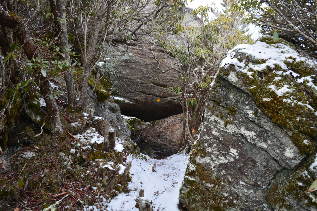
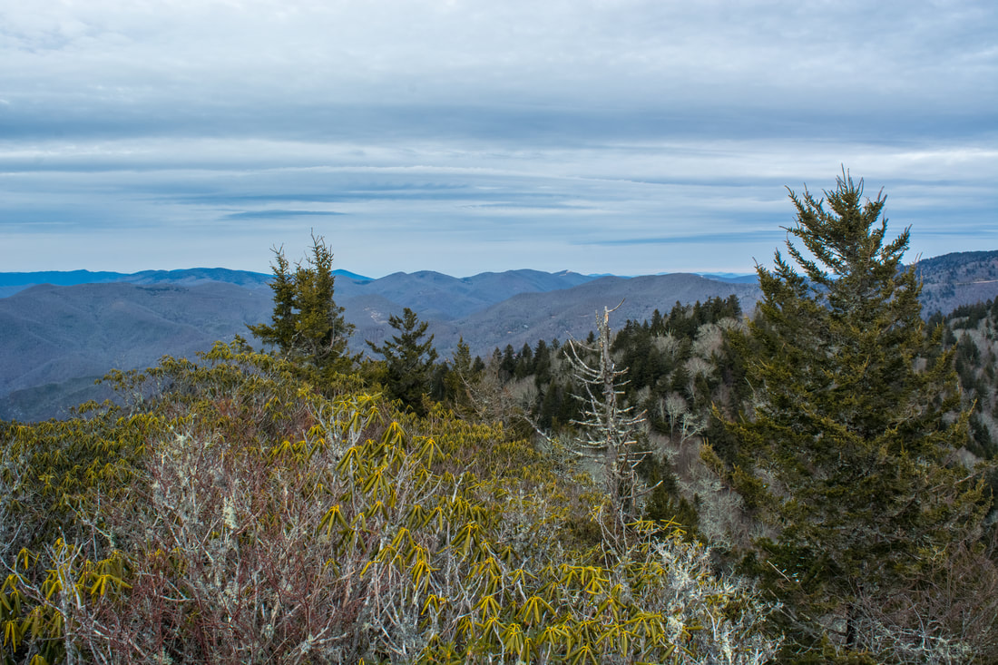
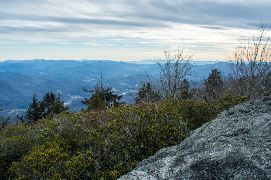
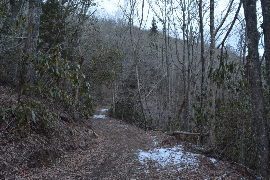
Retrace your steps along The Pinnacle Trail, rejoining the West Fork Trail at 2.15 miles. Turn left and resume a moderate ascent toward Blackrock Mountain. At 5.15 miles, the trail levels out and soon crosses West Fork Fisher Creek - just a tiny rivulet near its headwaters. At 5.55 miles, after passing through an old gate, reach the signed upper end of the East Fork Trail. This is your return route. For now, stay straight toward Blackrock Mountain. My favorite section of the hike starts here. The next 0.65 miles are completely level as the trail passes through stands of spruce trees. The relaxation abruptly ends at 6.2 miles. While the open forest road continues straight, the trail turns left onto a steep single-track path. A sign reads "Blackrock - 0.6". My GPS recorded the distance to be even shorter, but that's not the point. The point is that you're still 750 feet lower than the summit of Blackrock Mountain! The rest of the path is extremely steep without any switchbacks. At 6.6 miles, the trail scrambles up a small ledge and approaches the base of a huge rock formation near the summit of Blackrock Mountain. Instead of climbing to the top of the rock, however, the trail veers left and scrambles under a large overhang. A small opening in the trees to the left provides a view into the Blackrock Creek valley. The trail is very rugged and slow as it twists among convoluted rock formations on the ridge. Just before the summit of Blackrock Mountain, a shortcut leaves left - bear right on the main trail. The trail passes directly under another rock overhang (a good shelter from wind in winter) and shortly comes to a split. To the right, the trail leads 2.4 miles to the Blue Ridge Parkway at Waterrock Knob (via Yellow Face Mountain). Turn left and scramble the final few feet onto the exposed rocky pinnacle at the summit of Blackrock Mountain at 5.75 miles. The summit of Blackrock Mountain provides outstanding panoramic views of the surrounding high country. The Plott Balsam range rolls out to the east, and you can trace it all the way to the Blue Ridge Parkway and Waterrock Knob in the distance. A gap in the trees to the north provides a view toward the Great Smoky Mountains. Sylva is even farther down below in the valley now, and the Cowee Mountains look even grander. In all honesty, Blackrock Mountain is one of the top 5 views I've seen in Western North Carolina. It just doesn't get much better than this. In the summer, the hike from the Blue Ridge Parkway is much easier, but in winter (when the parkway is usually closed), the strenuous hike from Fisher Creek Road is your only option for seeing Blackrock Mountain. 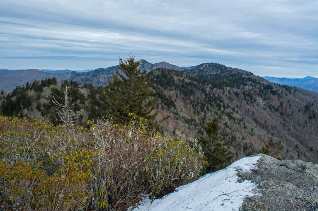
The Plott Balsam range from Blackrock Mountain
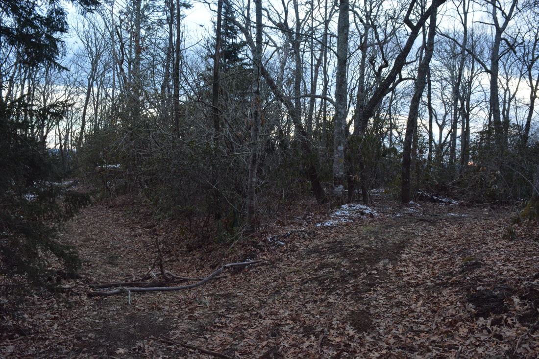
Retrace your steps to the upper end of the East Fork Trail from Blackrock Mountain. You'll turn left onto the East Fork Trail at 7.9 miles. The East Fork Trail starts out just as broad as the West Fork Trail, gently descending along a ridge separating the West Fork and East Fork watersheds. The trail makes a sharp left curve at 8.1 miles at a clearing. A moderate descent into the East Fork valley begins. Turn right onto another old forest road at 8.35 miles. The road splits again at 8.5 miles; bear right to stay on the trail. After this, the descent steepens. There are nice seasonal views of the Tuckasegee River Valley in this section. The trail crosses a tributary of East Fork Fisher Creek three times - the last one requires a short rock hop. Around 9.45 miles, the descent turns extremely steep as the trail enters the tight East Fork valley. This section will be tough on your knees. Just before Fisher Falls, the broad forest road abruptly ends and the trail drops down a vertical bank. You can see the long, cascading Fisher Falls from the trail through the trees, but for the best view, you'll have to drop off the trail a little farther. The scramble 150-foot scramble is steep but open. Reach the base of Fisher Falls at 9.55 miles. This is another scenic waterfall. About 40 feet high, the creek makes a long drop over numerous mossy ledges. The coordinates for Fisher Falls are N35° 25.812' W83° 10.978'. With the right amount of water, this can be a pretty photogenic waterfall. It's definitely worth a stop for all hikers traveling the East Fork Trail.
Return to the trail and resume descending steeply. At one point, the trail passes under a huge downed tree where a small passage was dug out. Despite the steepness, this part of the East Fork Trail is very scenic with constant views of cascades along East Fork Fisher Creek. At 10.0 miles, the single-track trail turns into a forest road again and moderates. The trail soon veers away from the East Fork, curves around the ridge separating it from the West Fork, and ends at the West Fork Trail at 10.2 miles. Turn left; from here, it's a simple 0.3-mile walk back to the parking area. You'll conclude this outstanding hike at Fisher Creek Road at 10.5 miles. Due to the excellent panoramic views found throughout this hike, as well as the two bonus waterfalls, I decided to rate this a "Best Hike". Mileage
0.0 - Fisher Creek Trailhead
0.5 - Split Rock 2.0 - Gina Falls 3.55 - The Pinnacle 6.75 - Blackrock Mountain 9.55 - Fisher Falls 10.5 - Fisher Creek Trailhead Variations
Hike out and back to Gina Falls and The Pinnacle - 6.95 Miles
Hike out and back to Blackrock via East Fork Trail - 7.5 Miles Bonus Stops
Consider driving to Cherokee to check out Mingo Falls and Upper Mingo Falls after the Pinnacle Park hike if you've got some extra energy.
Pictures & Videos
2 Comments
Tony C
3/6/2018 08:36:05 pm
I was just up there a few weeks ago and didn't even know about the waterfalls. I wish I would have read your trip report earlier.
Bill Solomon
3/8/2018 10:19:26 pm
Great stuff, Mark! The Pinnacle is awesome any time, but in fall when the leaves are changing it is a dramatic vista. The falls are worth the work, esp. in winter sans leaves. Your Fisher Falls photo is a keeper. Leave a Reply. |
About MeMark Oleg Ozboyd Dear readers: I have invested a tremendous amount of time and effort in this website and the Georgia Waterfalls Database the past five years. All of the work that has gone in keeping these websites updated with my latest trip reports has almost been like a full-time job. This has not allowed me to pick up a paid job to save up money for college, and therefore, I I've had to take out loans. If you find the information on this website interesting, helpful, or time-saving, you can say "thanks" and help me out by clicking the button above and making a contribution. I will be very grateful for any amount of support you give, as all of it will apply toward my college tuition. Thank you!

Coming in 2022-2023?
Other Hiking WebsitesMiles HikedYear 1: 540.0 Miles
Year 2: 552.3 Miles Year 3: 518.4 Miles Year 4: 482.4 Miles Year 5: 259.9 Miles Archives
March 2021
Categories
All
|


 RSS Feed