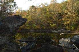
One of the newest additions to Bartow County's trails, the Pine Log Creek Trail is a short hike that passes over and around several hills in the vicinity of Pine Log Creek, before visiting an old water-filled CCC quarry. The Pine Log Creek Trail is also located conveniently close to metro Atlanta, and even though the trail does not have the outstanding features of many mountain trails, it could still serve as a great after-work outing for people from the northwest metro. This hike occurred on Saturday, October 29th, 2016. My plan was to hike the West Loop of the Pine Log Creek Trail clockwise and the East Loop of the Pine Log Creek Trail counter-clockwise. Along the way, I would take the side trail to the old CCC Quarry.
Summary
R/T Length of Trail: 4.9 Miles
Duration of Hike: 3:25 (including hour-long break at quarry) Type of Hike: Double Loop Difficulty Rating: 3 out of 10 Total Elevation Gain: 947 Feet Pros: Relatively good (for the foothills) winter views from West Loop Cons: None Points of Interest: Old CCC Quarry Trail Blaze Color(s): Pine Log Creek Trail - Blue Best Season(s) to Hike: Fall Fees: None Beginning Point: Pine Log Creek Trailhead on GA Route 140 Directions from Waleska, GA: From the intersecton of GA Route 108 and GA Route 140 in Waleska, follow GA Route 140 West for 7.9 miles, until you will see the entrance to the parking area at the Pine Log Creek Trailhead - marked by a sign - to the right of the road. Map
Click here for more information and to download this trail map to view in Garmin Basecamp.
Details
On this particular Saturday, I had a number of tasks to complete in the first part of the day, so straight away, I knew that I would not be able to complete a full day hike today. However, for a while now, I've had several "afternoon hikes" that I have been wanting to check out, such as Cochrans Mill Park, Pine Log Creek, and Bearden Falls, all of which are around an hour's drive from my house. However, the primary destination in Cochrans Mill Park is a waterfall, and the hike to Bearden Falls is (obviously) a hike to a waterfall as well. With an exceptional drought that was still increasing, and with there not having been a drop of rain for nearly two months, all waterfall options did not seem inviting. Thus, I settled on Pine Log Creek.
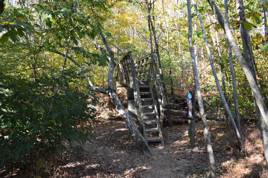
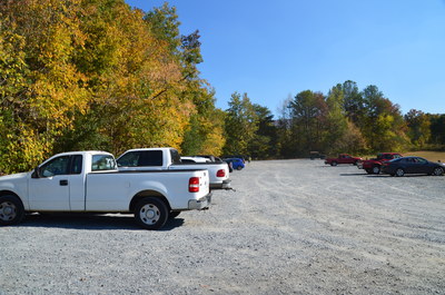
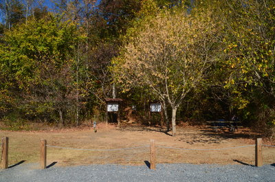
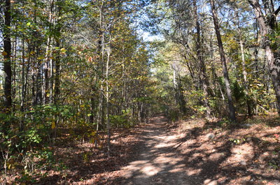
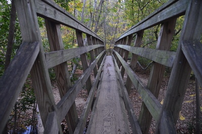
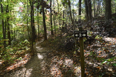
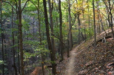
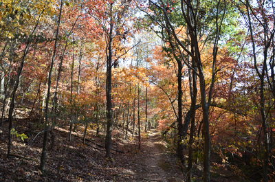
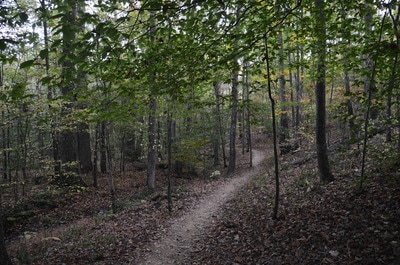
The Pine Log Creek Trail begins at the left end (closer to Highway 140) of the parking area. A picnic table has been placed at the trailhead. The trail begins by passing between two kiosks and over a footbridge that crosses an intermittent stream. Beginning as a wide double-track path, the trail countours around a hill, crossing a powerline cut under a tenth of a mile from the trailhead, and then gradually descends into the Pine Log Creek valley. At 0.2 miles, the trail crosses a picturesque V-shaped wooden footbridge across Pine Log Creek, which exhibited very low flow on this day. After the footbridge, the trail passes through an area of pines and crosses a ravine via a footbridge. At 0.5 miles, there is a signed split. This is the beginning of the West Loop. I suggest hiking the loop clockwise (which is what I did) to get the biggest climb of the day out of the way first.
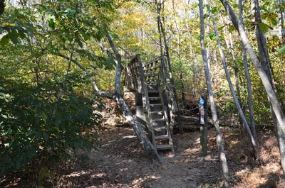
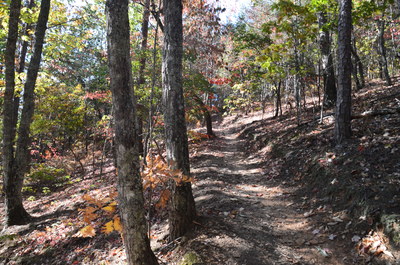
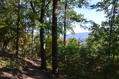
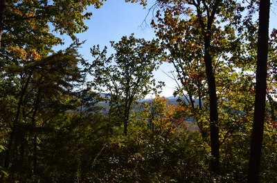
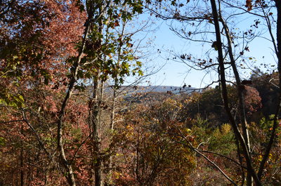
Continue straight to hike the West Loop clockwise. The trail begins ascending at an easy grade, making a number of switchbacks after passing around a gully at 0.7 miles. At one of the switchbacks, at 0.85 miles, there is a bench next to the trail. There is also a very limited view here to the southeast. Then, the trail passes through a small area of very dense pine forest, before breaking out into much more open forest. The stretch of trail between 0.9 miles and 1.0 miles has some surprisingly good winter views of the Pine Log Creek valley to the south and southwest. At 1.1 miles, the trail passes over the highest point on the hike, near the summit of the mountain that it has been ascending. To my knowledge, there is no name for this mountain. Shortly after this, the trail begins an easy descent back into the valley.
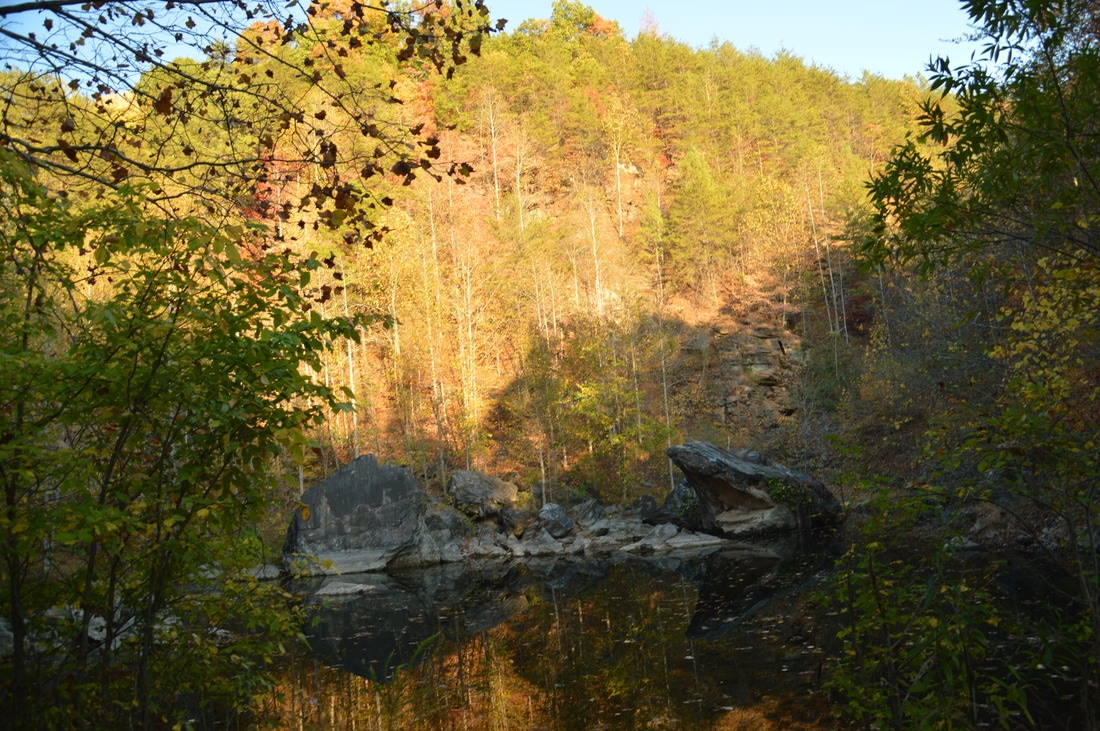
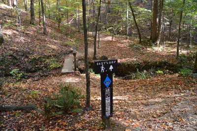
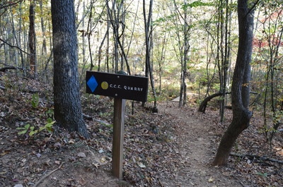
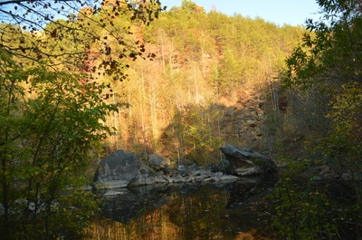
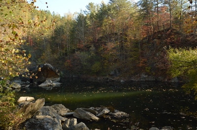
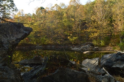
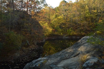
At 1.8 miles, reach the signed junction with the short connector to the East Loop. Turn left onto the connector (you'll come back and finish the West Loop later). After crossing a footbridge across an intermittent stream, reach the beginning of the East Loop at 1.85 miles. The junction is surprisingly unsigned. At this point, the two sides of the loop fork in the shape of the letter V. There is no major difference in regards to which direction to hike this loop in, but the south side is slightly longer and has slightly more elevation change, so I decided to hike it counter-clockwise - and I suggest that you do the same. To hike it counter-clockwise, bear right and cruise through a flat area before making an easy ascent via several switchbacks to a knoll, reaching the piney top at 2.15 miles. As the trail descends in the direction of Pine Log Creek, a few more limited views will appear through the trees around 2.35 miles. You will pass some quarry boulders to the right of the trail before eaching the signed junction with the side trail on the right to the old CCC Quarry at 2.8 miles. Turn right onto the side trail and sortly reach the old quarry. The quarry is now water-filled, and the result is a beautiful pond. There is a number of boulders on the far end. Follow the path along the north side of the pond, and at 2.9 miles, reach the large boulders at the quarry's east end. I scrambled up to the top and snapped a few pictures here. Then, I noticed that the steep hill just east of the quarry seemed to have some nice-looking cliffs that could provide a good view of the quarry and the surrounding area. Rather foolishly, I started scrambling up the insanely steep slope, but after getting some rather extensive cuts on my fingers thanks to the bark of a tree, I abandoned the idea...and it didn't look very promising anyway.
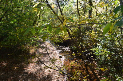
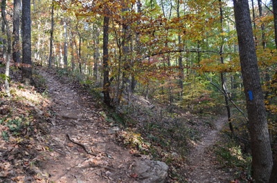
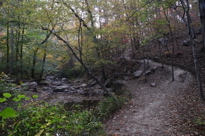
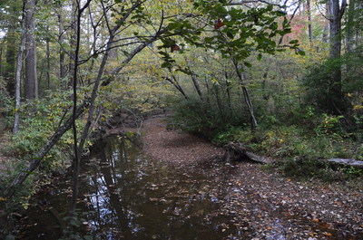
From the quarry, return to the main trail and turn right. The trail ascends briefly and then passes over some small hills and ravines before closing the East Loop and arriving at the West Loop junction again at 3.6 miles. This time, turn left to hike the south side of the West Loop. This side of the loop is easier than the north side, and it provides the best views of Pine Log Creek on the hike. Descend to and reach Pine Log Creek at 3.95 miles. The creek looked pitiful on this day, with very little water snaking between a number of small boulders. The trail quickly leaves the creek and makes a steep ascent to a hill above the creek. The trail then follows the contours of this hill, passing over a minor boulderfield in the meantime. At one point, there is a slightly confusing place. An obviously well-traveled path leaves to the left in this area, but it seemed to me that the official trail continued straight, as it appeared to take a more logical course. In the end, I am not sure if I was right. Using a pair of switchbacks, the trail approaches the end of the West Loop. Just before the junction, however, the path that you saw earlier leaving to the left comes in from ahead, while the main trail makes a 90-degree right turn and crosses a footbridge across a gully. If I was hiking the loop counter-clockwise, I would be at a loss regarding which direction to head in here, although I believe that I still took the correct path.
Reach the end of the West Loop at 4.4 miles. Turn left and retrace your steps along the access trail. Pass back over the footbridge across Pine Log Creek and reach the trailhead at 4.9 miles, concluding the hike. Mileage
0.0 - Pine Log Creek Trailhead
0.2 - Pine Log Creek footbridge 0.5 - Beginning of West Loop 1.1 - Highest point on the trail 1.85 - Beginning of East Loop 2.9 - Old CCC Quarry 3.95 - Views of Pine Log Creek 4.9 - Pine Log Creek Trailhead Variations
Hike just the West Loop - 3.1 Miles
Hike out and back to the CCC quarry via shortest route (south side of West Loop and north side of East Loop) - 4.0 Miles Bonus Stops
To my knowledge, there are no other noteworthy points of interest or hikes in the area. There is a trail system on nearby Garland Mountain, but it does not sound very inviting due to the popularity of horses on it. Further southwest in Bartow County, there are several great trails in the vicinity of Lake Allatoona, including the Pine Mountain Trail.
Pictures
1 Comment
Lee
2/1/2018 10:31:46 am
My friends and I hiked this trail 01/27/2018. We hiked both loops and for an old guy like me that has not been hiking in over 30 years, the west loop was a great workout. The quarry is definitely worth the stop, so spend a little time there.
Reply
Leave a Reply. |
About MeMark Oleg Ozboyd Dear readers: I have invested a tremendous amount of time and effort in this website and the Georgia Waterfalls Database the past five years. All of the work that has gone in keeping these websites updated with my latest trip reports has almost been like a full-time job. This has not allowed me to pick up a paid job to save up money for college, and therefore, I I've had to take out loans. If you find the information on this website interesting, helpful, or time-saving, you can say "thanks" and help me out by clicking the button above and making a contribution. I will be very grateful for any amount of support you give, as all of it will apply toward my college tuition. Thank you!
Coming in 2022-2023?
Other Hiking WebsitesMiles HikedYear 1: 540.0 Miles
Year 2: 552.3 Miles Year 3: 518.4 Miles Year 4: 482.4 Miles Year 5: 259.9 Miles Archives
March 2021
Categories
All
|

 RSS Feed