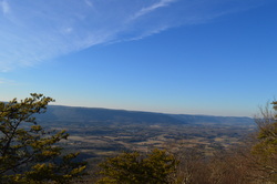
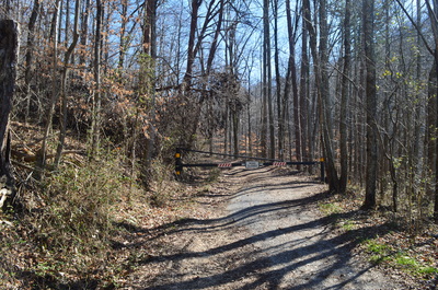
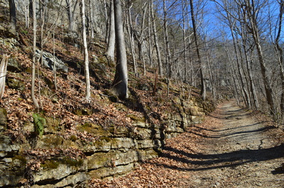
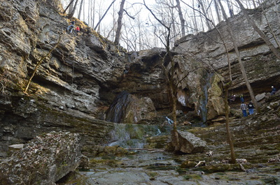
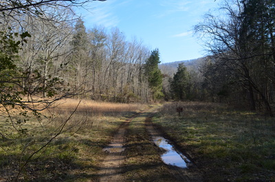
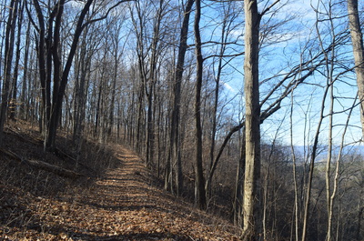
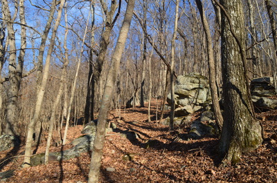
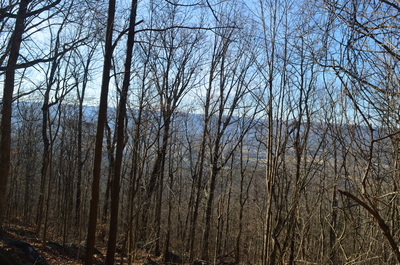
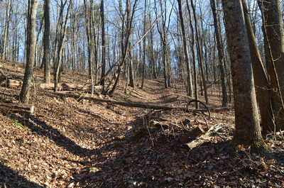
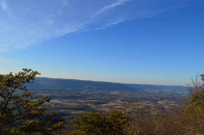
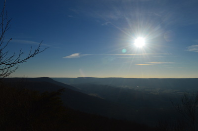
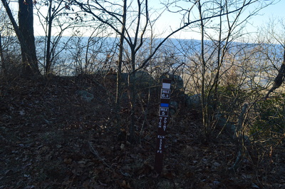
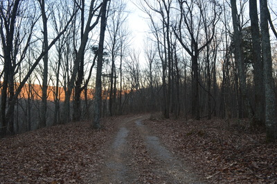
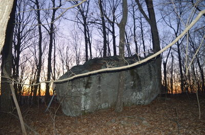
 Pigeon Mountain is a giant extension of the Cumberland Plateau in northwest Georgia, spread away from the rest of the plateau that generally lies along and northwest of a I-59 in Alabama and Georgia to I-75 in Tennessee corridor. There are some differences in Pigeon Mountain from the rest of the plateau. The elevation is slightly higher, the canyons are less rugged, and the terrain is less rocky. There are a few mountain vistas and water features, but did you know what the place is most famous for? It's Ellison's Cave, one of the biggest and deepest caves in North America. Ellison's Cave contains The Fantastic Pit, which at over 500 feet in depth, is the deepest cave pit in the US. On this hike, you'll have a chance to see a few best-in-winter vistas from the highest point on the mountain, simply known as High Point, and also take a short side trip and see the entrance to Ellison's Cave. This hike occurred on February 7th, 2015. My plan was to hike the High Point Loop counter-clockwise, starting from the Pocket Trailhead. There would be stops along the way at South Pocket Falls, High Point, and possibly Ellison's Cave, if there would be clear signage to it, as I forgot to look up precise directions to it. R/T Length of Trail: 10 Miles Duration of Hike: 6:15 Type of Hike: Lollipop Difficulty Rating: 6 out of 10 Pros: Generally well-blazed trails Cons: Likely overgrown sections of trail in summer; poor views from High Point in summer Scenic Views: Views from High Point - 4 stars Water Features: South Pocket Falls - 2 stars Best Season(s) to Hike: Winter Trail Blaze Color(s): High Point Loop - Blue; West Brow Trail - White Beginning Point: Pocket Loop Trailhead Directions: From LaFayette, GA: Follow GA State Route 193 West for about 8 miles, then at a 4-way stop, turn left onto Hog Jowl Road. Follow Hog Jowl Road for 2.8 miles, then turn left onto Pocket Road. Follow Pocket Road for 1.2 miles until the dead end and parking area. The second half is not paved, and there is a shallow stream ford just before the parking area, although it looks like most cars can easily make it through. There's more than one "Pocket" in northwest Georgia. The more well-known one is at the northern tip of Floyd County, near Horn Mountain. There is a Pocket Loop Trail too, so please don't mix it up with the bigger and more interesting one near LaFayette. There are several trails that start at the Pocket Trailhead. The Shirley Miller Wildflower Trail starts to the right of the main parking area. Even though my book listed an approach to South Pocket Falls from Pocket Loop, it was very rough and steep, and it appears to be MUCH easier to get there from the wildflower trail. Also, the Estelle Mine Trail starts on the left end of the parking area. High Point Loop/Pocket Loop (whichever way you want to call it) starts on an old gated road at the parking area. There is a trailhead kiosk with information. Please note that a GORP (Georgia Outdoor Recreation Pass) is required for any use of this area. You can buy it online. The old road that the trail follows at first is in very good shape. It follows a large rock wall on the left. Pocket Branch flows below and is the source of South Pocket Falls. At 0.4 miles, South Pocket Falls can be heard below the trail. There is no sign or clear spur trail here. However, a path of sorts does descend to the falls, but it is very steep. While it is possible to go down by it, it is definitely not the easiest way. South Pocket Falls is one of those "could be" waterfalls. The setting is nearly perfect, with a very interesting rock wall all around, forming a sort of rock cove, but.... this stream really needs water. My visit was in winter, when water level is higher than normal, and it was still barely a trickle. Imagine summer conditions. I guess you need to go here after a hurricane for there to be decent water flow? Beyond the waterfall, the South Pocket Loop flattens out and reaches a large wildlife opening at 0.5 miles. A sign in the grass marks the start of the loop section of the hike. I went counter-clockwise, so I turned right at the loop junction. The trail crossed Pocket Branch and began its slow ascent up High Point. Shortly, you will pass South Pocket Falls below again, although it didn't seem any easier to get there from here. The trail quickly becomes what it will look for the better part of the hike: a single-track path, often overgrown. There are hints of an old roadbed here and there but it's so old that I couldn't tell for sure. There is really nothing worthy of describing over the next few miles. The ascent is generally moderate, but there are steep/rocky sections in there. The entire ascent, there are good winter views into McLemore Cove and its farmlands. The main ascent ends after a final steep push at 3.3 miles. There is a junction with the West Brow Trail here. The West Brow Trail is the longest trail in the trail system, and as the name indicates, it follows the west rim or "brow" of Pigeon Mountain. Its southern end is near Mountain Cove Farms off Dougherty Gap Road and its northern end is at the northern Estelle Mine Trailhead off GA State Route 193. There's also numerous points where you can reach the trail from Rocky Lane. From the junction I mentioned above, turning right will bring you shortly to McClutchin Springs Road, and later, to Sawmill Lake Campground. Meanwhile, this hike turns left, where the High Point Loop and West Brow Trail coincide and stay like that for several miles. This section of the trail is one of the most maintained, following a clear old road until the summit of High Point. The best overlook at High Point is reached at 4.1 miles before the summit of High Point. If you have reached a small trail wand indicating the summit, you have went too far. I'm saying this because the overlook is not marked in any way and you can only tell it's there because of large rock outcrops to the left of the trail favorable for a view. The vista at High Point isn't great but one can be surprised there is a vista at all... vistas are rarely found across Pigeon Mountain. However, this vista would be close to nothing in summer. In winter, with the bare trees around, you can see pretty good into McLemore Cove. The next ridge beyond the cove is part of the main Cumberland Plateau, and if you look towards the far right, that would be the approximate location of Cloudland Canyon, although you cannot see the canyon itself from here. Shortly after the main vista, pass a smaller one and reach the summit of High Point, marked by a trail wand. After this, the trail starts descending, although it becomes more overgrown time to time. The clear old road disappeared and the trail resumed a similar manner to what it was on the ascent. During the descent, there are good views into The Pocket on the left. At 5.2 miles, reach a junction with McClutchin Springs Road. Somehow the only trail markers here point the way back I came and the Atwood Trail, that went to the right along McClutchin Springs Road. The Atwood Trail starts here and eventually reaches Rocktown and Allen Creek Falls. While unsigned, the High Point Loop, together with West Brow Trail, turned left onto McClutchin Springs Road. The trails follows the road for about a mile. This section has both ups and downs, but all are slight. Then, at 6.2 miles, the road ends at a large turnaround. An old gated road goes right, and another one goes left - the trails follow the one that goes left. At 6.3 miles, there is a somewhat confusing trail intersection. It is clear the High Point Loop is the leftmost trail. Apparently, the West Brow Trail is the one that goes slightly right, but the sign says "horses only". Meanwhile, an old road goes straight right, without any trail name, and there is a sign "Foot Traffic Welcome". Maps don't give a clue as to where this one goes, but maybe it's some sort of foot travel bypass for the West Brow Trail? Also, a book has a Cane Trail exiting somewhere here, but the WMA map doesn't have it - perhaps the old road is it? According to maps, Ellison's Cave is on either the horse trail or the old road, but it's unclear on which one. I don't see an exact location on the map though - I would appreciate very much any additional information. After the junction I mentioned, the High Point Loop slowly ascends to a small knob on the northern end of Pigeon Mountain. Along the way, a large rock can be seen on the left with a metal ladder. I didn't climb the ladder, but I doubt there's much of a view there. After summiting the small knob, the trail gives way to a long descent back into The Pocket. This descent has many somewhat overgrown sections, and blazes are almost non-existent, in contrast to the first half of the hike. Near the end of the descent, I hit a completely overgrown section with several blowdowns, but if you follow the old roadbed, you will find the trail again (if it even was the trail and if I didn't go off it and then back on it). At 9.4 miles, reach a wildlife clearing and an old road. Follow this old road back to the end of the loop. Along the way, there's a small pond on the right and a spring on the left that gives birth to Pocket Branch. Once you've reached the end of the loop, continue to the parking area, reaching it at 10 miles. Below are my pictures and videos from the hike. If you go, make sure to go in winter - some of those overgrown sections won't be any fun in summer, and the views are much better in winter.
4 Comments
Jeff
3/8/2015 04:02:45 am
Mark,
Reply
Mark Oleg
3/8/2015 03:14:49 pm
Sorry for the late reply. I wasn't available today. I do not have the coordinates of the trailhead or a kml file.
Reply
8/3/2022 05:31:48 pm
Edirne ECA servisi hizmetlerimiz memnuniyet odaklıdır. Detayları incelemek için hemen web adresimize göz at! https://www.edirneklimaservisi.com/edirne-eca-servisi/
Reply
Leave a Reply. |
About MeMark Oleg Ozboyd Dear readers: I have invested a tremendous amount of time and effort in this website and the Georgia Waterfalls Database the past five years. All of the work that has gone in keeping these websites updated with my latest trip reports has almost been like a full-time job. This has not allowed me to pick up a paid job to save up money for college, and therefore, I I've had to take out loans. If you find the information on this website interesting, helpful, or time-saving, you can say "thanks" and help me out by clicking the button above and making a contribution. I will be very grateful for any amount of support you give, as all of it will apply toward my college tuition. Thank you!
Coming in 2022-2023?
Other Hiking WebsitesMiles HikedYear 1: 540.0 Miles
Year 2: 552.3 Miles Year 3: 518.4 Miles Year 4: 482.4 Miles Year 5: 259.9 Miles Archives
March 2021
Categories
All
|


 RSS Feed