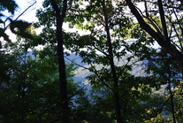
 The Tusquitee Mountains of Southwest North Carolina are a beautiful mountain sub-range located near Hayesville. The highest mountain, Tusquitee Bald, tops out higher than 5000 feet. In a deep valley shaded by the mountains' crests flows Fires Creek. This clear, mountain stream houses a population of trout, rarely found in some of the mountains. The Fires Creek Rim Trail is the main trail that goes around the Tusquitee Mountains. However, there are also access trails, and the Chunky Gal Trail, which comes from the southeast. This hike occurred on October 4th, 2014. My original plan was to hike to Tusquitee Bald, but some roads were closed (possibly for hunting season), so I had to change my plan to starting at the Bristol Horse Camp, and doing the Bristol Trail to Fires Creek Rim Trail. Then, I would take the Fires Creek Rim Trail to the right (south-southwest) and follow it to Fires Creek Picnic Area. I wanted to return by the Cover Trail, but after quickly realizing that it has 18 fords, certainly not inviting in 40-degree weather, I bailed out and decided to return by the Fires Creek Road. R/T Length of Trail: 9.2 Miles Duration of Hike: 4 Hours Type of Hike: Loop Difficulty Rating: 5 out of 10 Pros: Much more descent than ascent; excellent ridgeline hiking; well-marked trail Cons: Roadwalk in the second half of the hike (unless you want to do 18 fords of Fires Creek) Water Features: None Scenic Views: Technically none, but Fires Creek Rim offers many views through the trees, especially in winter Best Season(s) to Hike: Winter Trail Blaze Color(s): All Trails - Blue Beginning Point: Bristol Horse Camp Directions: From Hayesville, NC: From Downtown Hayesville, follow Tusquitee Street north. Turn left onto Fires Creek Road. Follow it for 4.6 miles, and then right right onto Fires Creek Wildlife Road at a sign for Fires Creek Recreation Area. Follow it for 5.8 miles until you see Bristol Horse Camp on the right. Turn right here and park in the second grassy area. First of all, let me tell you that this hike requires one out of three: a shuttle, a long roadwalk, or 18 crossings of Fires Creek. I preferred the roadwalk (mainly because of the temperatures), but next time (hopefully in warmer temperatures), I may check out the Cover Trail and its 18 crossings. This said, I will move on to describing the trail part of this hike.
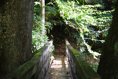
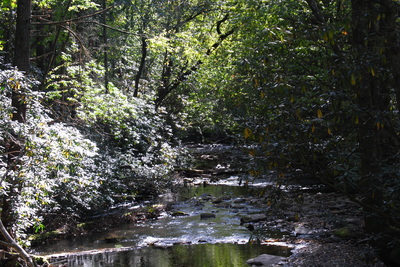
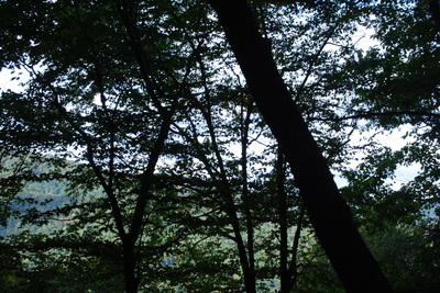
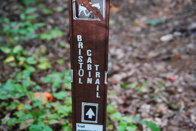
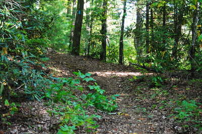
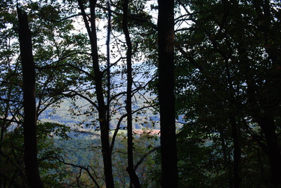
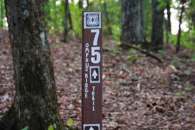
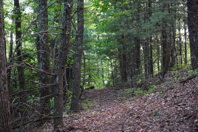
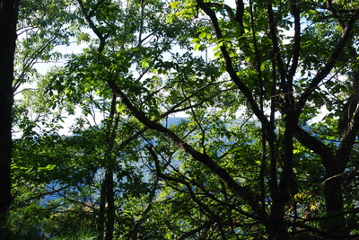
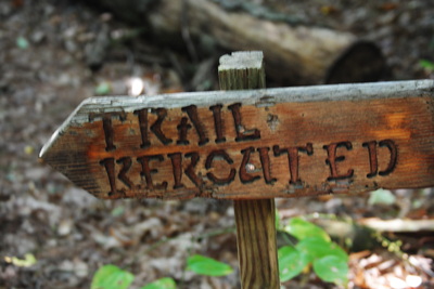
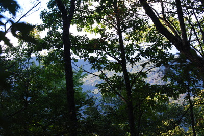
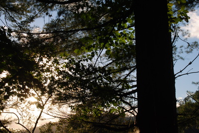
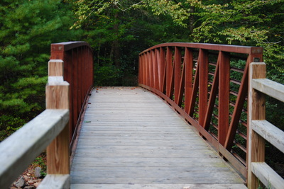
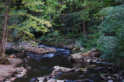
The Bristol Horse Camp is a parking area for horse trailers, so horseback riders can enjoy the miles of horse trails located in this area. Unfortunately, it looks like horse riders decided to enjoy the hiking trails (where horses are not allowed) too. The Bristol Trail, #76 (also called Bristol Cabin Trail), starts off at the far end of the horse camp and crossed Fires Creek on a footbridge. At first, the trail traverses a marshy area near Fires Creek. Where the trail is not an old road, it is not very well seen sometimes, but blazes are constant, with little room for getting lost. In 0.2 miles, the trail reached a junction with the Cover Trail (#74), which soon crosses Fires Creek Road and starts on its 18 crossings of Fires Creek. The Cover Trail leads to the right, while the Bristol Trail continues straight. Here, the ascent begins. It is steep at times (because it follows the grades of an old road) but never too steep. As you rise higher, winter views are plentiful, and even some summer views through the trees. Around 1.2 miles, the old road that the trail follows makes a gradual switchback through a gap, before reaching a junction with the Fires Creek Rim Trail at 1.3 miles. The Fires Creek Rim Trail is 25 miles long, and pretty much a loop. It starts at the Fires Creek Picnic Area, and ends just up the road. First, it follows the Valley River Mountains, and then it crosses a ridge connecting the Valley River Mountains to the Tusquitee Mountains, following the Tusquitee Mountains for the rest of its route. I have heard the Tusquitee Mountains have most of the overlooks, but I wasn't able to prove it on this day, because I couldn't get to Matlock Bald and Tusquitee Bald, where the overlooks should be. The geographical location where the Bristol Trail meets the Rim Trail is Carvers Gap. The elevation change from Bristol Horse Camp to Carvers Gap is roughly 800 feet, which is not too bad for 1.3 miles. At Carvers Gap, take a right - left takes you to the higher mountains of the area, although it wasn't doable as a day hike, because of my late arrival. The climb isn't quite over here, though. The next 0.3 miles are steep ascent to an unnamed knob, possibly part of Omphus Ridge. Although once you reach the summit, it's pretty much all downhill There's some ups and downs until you reach the junction with the Omphus Ridge Trail at 2.3 miles from the start. Omphus Ridge Trail heads down Omphus Ridge to reach Fires Creek Road near Rockhouse Branch Road. For this hike, stay on the Rim Trail. The trail winds around Graveyard High Top, and then begins steeply descending. Great winter views abound, although barely any summer views. There is nothing much else to describe about this trail, other than it's all down. At an especially steep section, the trail was rerouted with switchbacks to make the descent more gradual. The descent gets steeper toward the end again, with more views time to time. Finally, the Rim Trail comes off the mountains and reaches a small stream, right before ending at Fires Creek Rod at 4.8 miles. From Carvers Gap to this point, you lose about 1200 feet of elevation change. Originally, I planned to take the Cover Trail, so I walked down the road to the picnic area, and checked out the first quarter of a mile on the Cover Trail. It was paved, with great views of the creek, but starting the first crossing, I bailed out. I wasn't aware of all of the crossings until I saw them on the map. So I decided to return and just finish by roadwalk. The roadwalk was long and boring, but still, the trail part of this hike was very good. Too bad that there were no views. Below are a few pictures.
2 Comments
Jared S
1/5/2016 01:57:16 pm
Unfortunately, Cover Trail is pretty much abandoned except occasional use by fisherman.
Reply
8/4/2022 06:09:13 am
Edirne baymak servisi en uygun fiyat ve en hızlı servis garantisi ile sizlerle. https://www.edirneklimaservisi.com/edirne-baymak-servisi/
Reply
Leave a Reply. |
About MeMark Oleg Ozboyd Dear readers: I have invested a tremendous amount of time and effort in this website and the Georgia Waterfalls Database the past five years. All of the work that has gone in keeping these websites updated with my latest trip reports has almost been like a full-time job. This has not allowed me to pick up a paid job to save up money for college, and therefore, I I've had to take out loans. If you find the information on this website interesting, helpful, or time-saving, you can say "thanks" and help me out by clicking the button above and making a contribution. I will be very grateful for any amount of support you give, as all of it will apply toward my college tuition. Thank you!
Coming in 2022-2023?
Other Hiking WebsitesMiles HikedYear 1: 540.0 Miles
Year 2: 552.3 Miles Year 3: 518.4 Miles Year 4: 482.4 Miles Year 5: 259.9 Miles Archives
March 2021
Categories
All
|

 RSS Feed