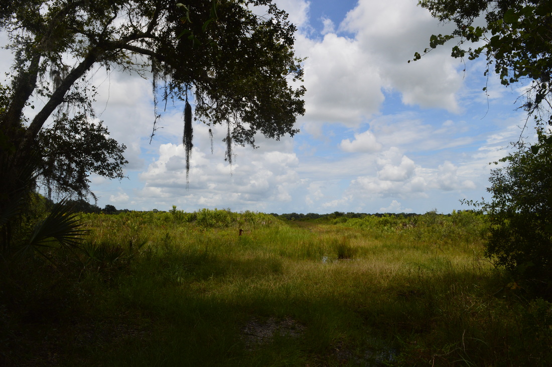
Once upon a time, the prairie was the key component of the nature of central Florida. Nowadays, not much of the prairie land is left, but fortunately, the majority of it is protected by tracts such as Myakka River State Park and Kissimmee Prairie State Park. On this long, strenuous (by Florida standards, of course) hike, you'll get to see the Florida prairie and the type of flora and fauna it is home to. However, you'll have to be sure that you bring sufficient water to enjoy this hike to its fullest. This hike occurred on Sunday, July 19th, 2015. My plan was to hike Fox's Low Road to the Myakka Hiking Trailhead. From here, I would do a large clockwise loop on the Myakka Hiking Trail. I would use Bobcat Crosstrail to shortcut the full 39-mile loop. I would end up back at the Myakka Hiking Trailhead at Fox's Low Road, and I would take Fox's Low Road back to the parking area.
Summary
R/T Length of Trail: 20.1 Miles
Duration of Hike: 9:15 Type of Hike: Loop Difficulty Rating: 5 out of 10 Pros: Excellent, long-distance views nearly the entire hike Cons: Uneven and rough sections of trail; some very overgrown sections (at least in summer); long section of at least seasonal slogging through water Points of Interest: The numerous prairies throughout the hike Trail Blaze Color(s): Access trail - Blue; Myakka Hiking Trail - White; Bobcat Crosstrail - Blue Best Season(s) to Hike: Winter Beginning Point: Fox's Low Road Trailhead Directions: Sarasota, FL, is a large metro area and it would be tedious and pointless to give directions from the center of the area. Thus, the directions below are from Exit 205 on I-75 (Florida State Route 72). It should be easy to get to this point from other areas in Sarasota. From the exit, follow Florida State Route 72 East for approximately 8.8 miles. At the Myakka River State Park entrance, turn left onto the main park road. Pay the $6 dollar fee, and follow the road for 4.8 miles. The parking area will be on the right. MapDetails
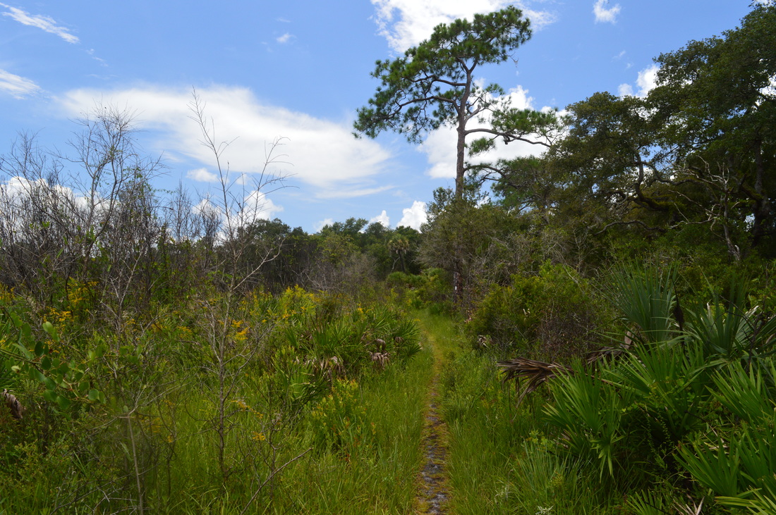
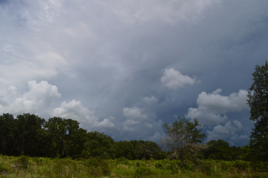
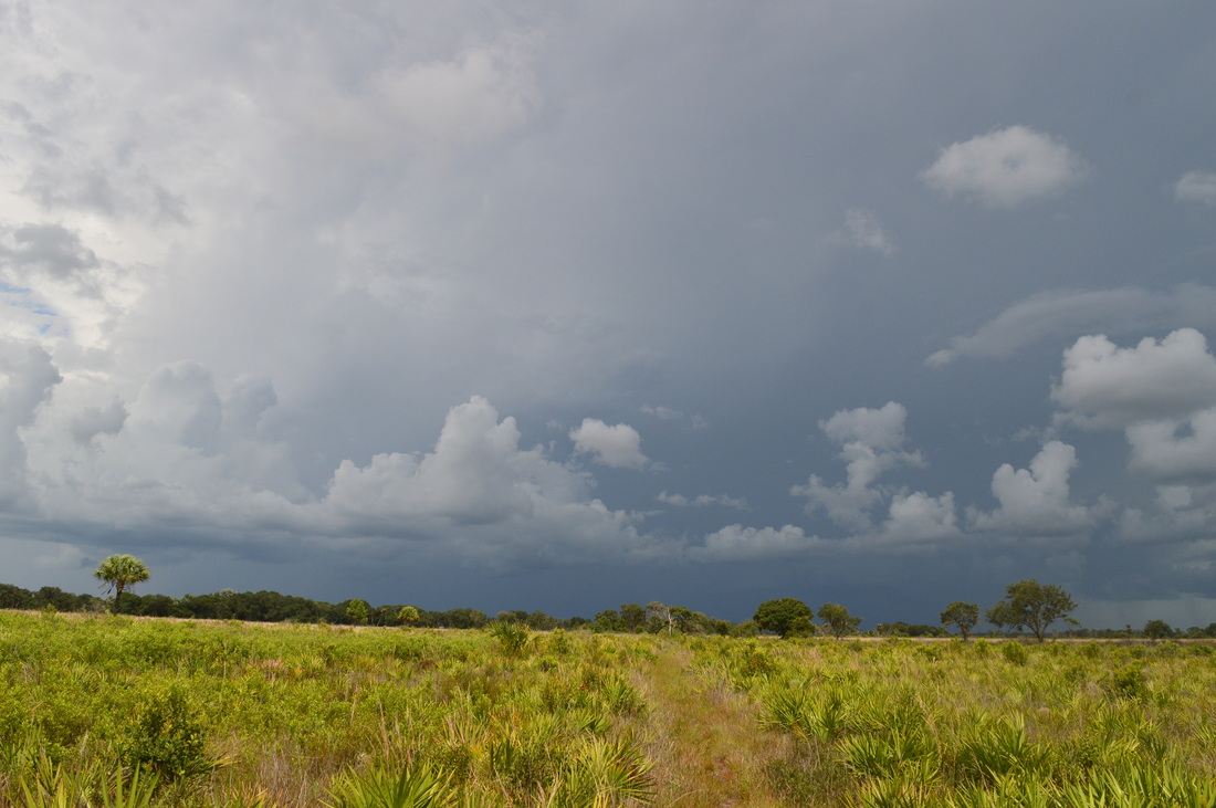
I'll say this right from the start: this hike is physically hard. In Florida, when you're talking about a hard hike, it usually has a completely different meaning from a hard mountain hike. Some of the characteristics of a hard Florida hike, like this one, may include swamp slogging, trails overgrown with grass, rough footing, and long distance. On this hike, you'll have to do deal with all four. Over 50% of the hike is on more or less overgrown/rough trails, and around 20% of the hike is fully water (well, at least that's the case in summer - I'm not sure about the winter condition). If you do this hike, be prepared to get wet, and also, you'll have to be sure that you've brought plenty of water. Over 70% of this hike is out in the hot, open Florida prairies with little to no shade the entire time. Additionally, doing this hike in one day is not a good idea. Even though you can keep a relatively fast pace, it will be physically hard, and you'll still need to count on 9 to 10 hours on completing this hike. It'll probably be easier for you to do this hike as a backpacking trip, although a strong hiker may attempt it as a day hike.
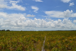
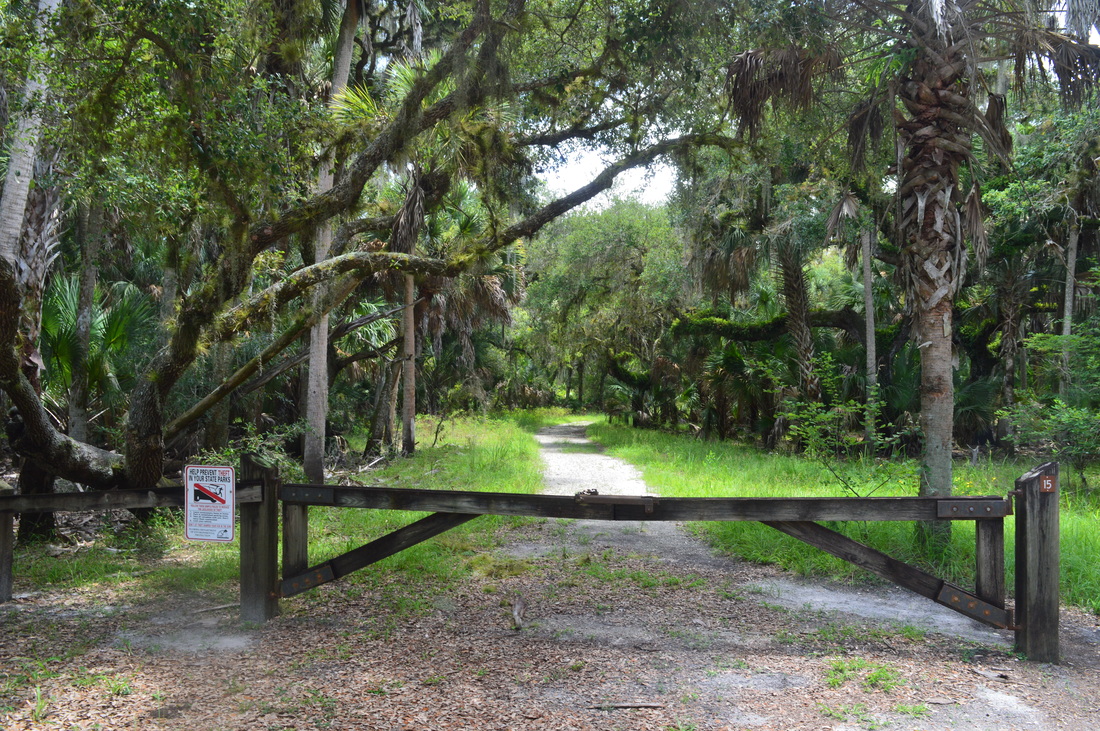
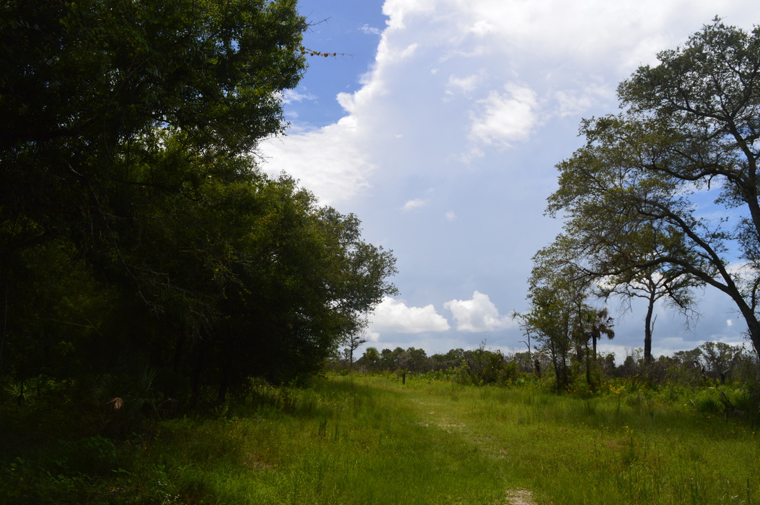
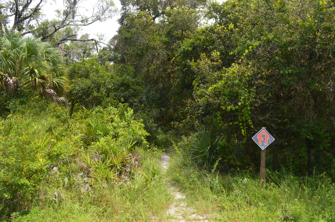
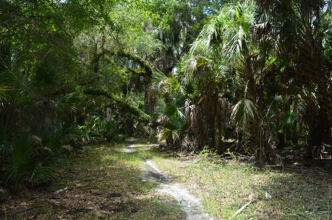
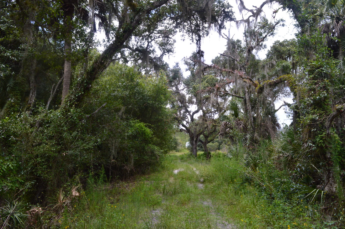
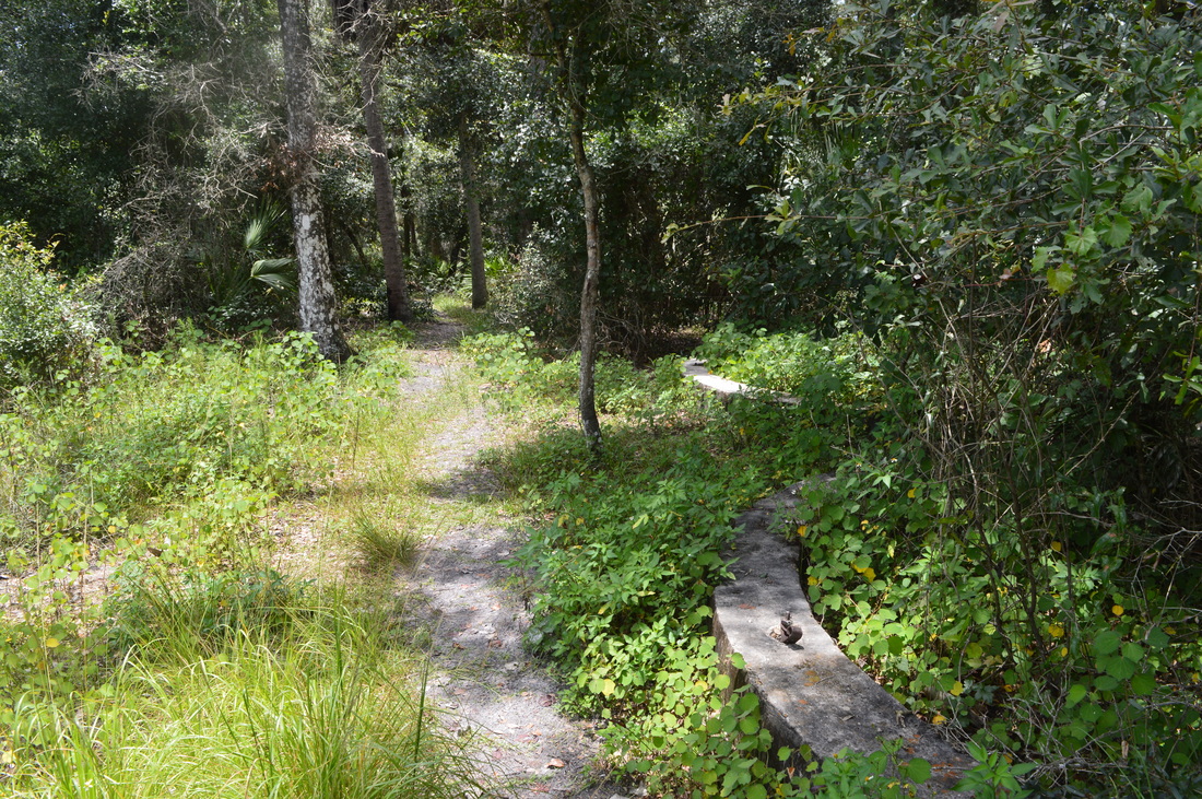
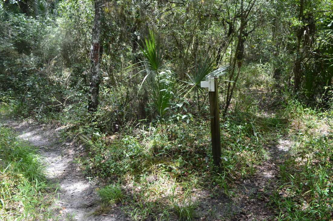
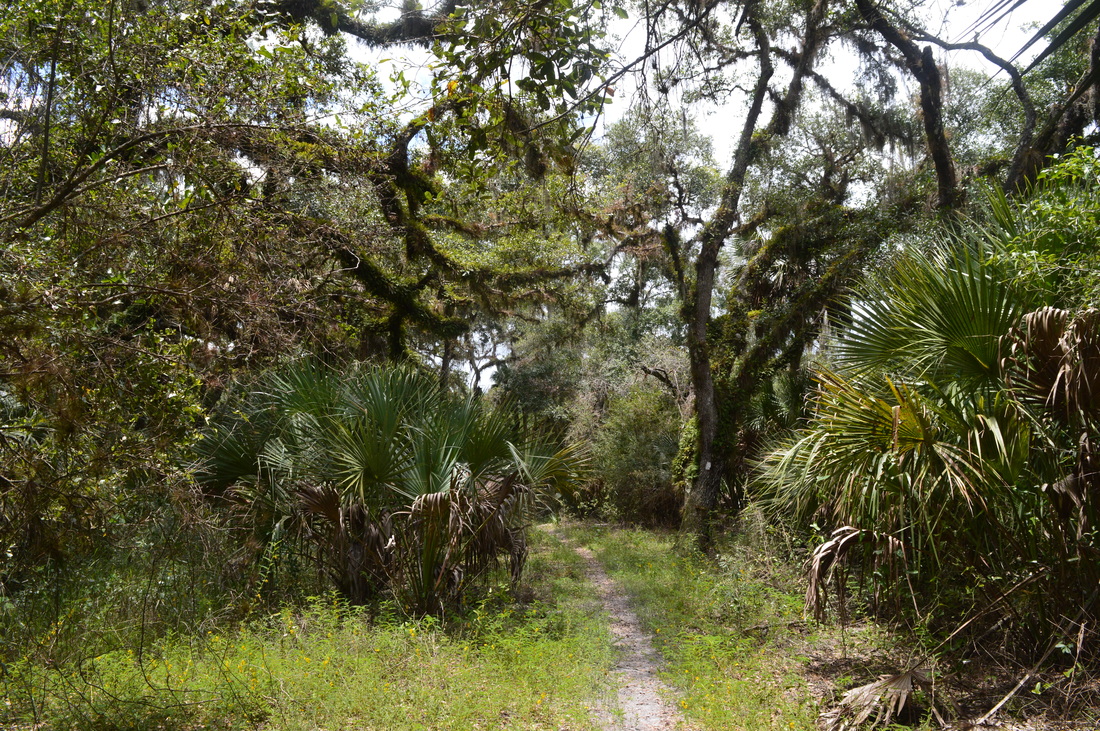
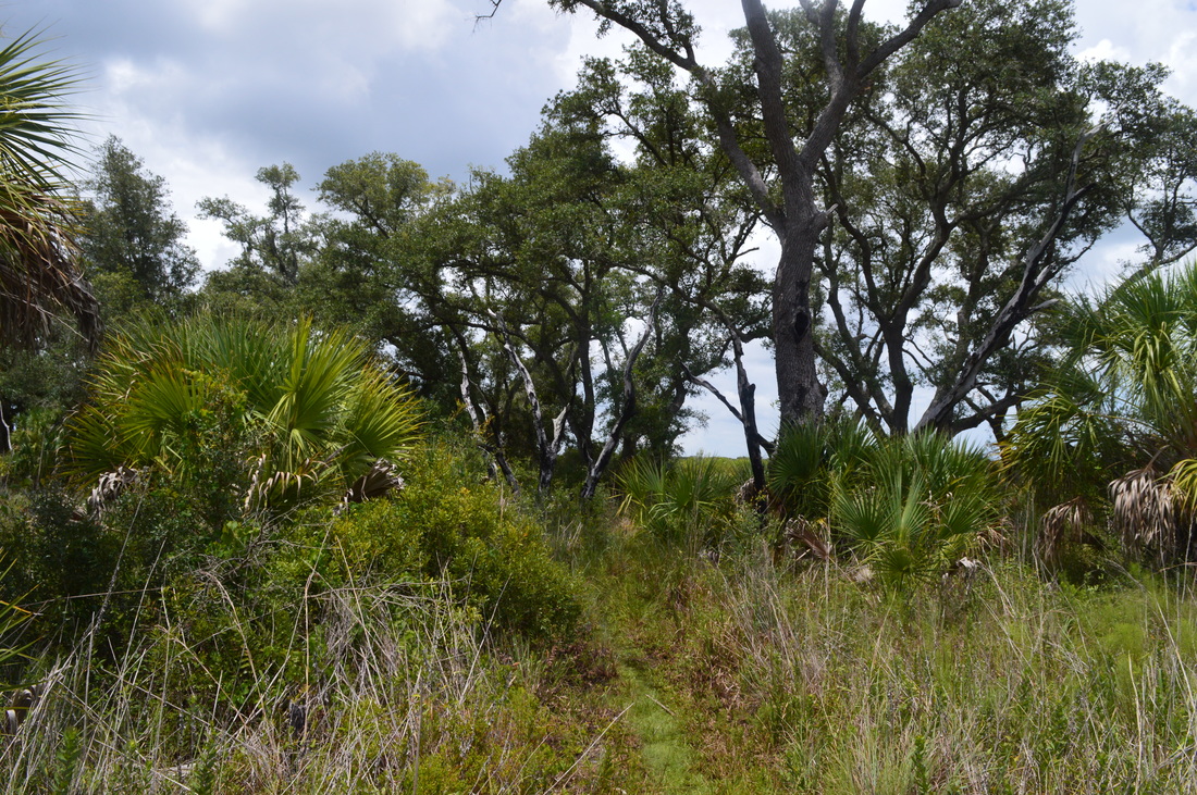
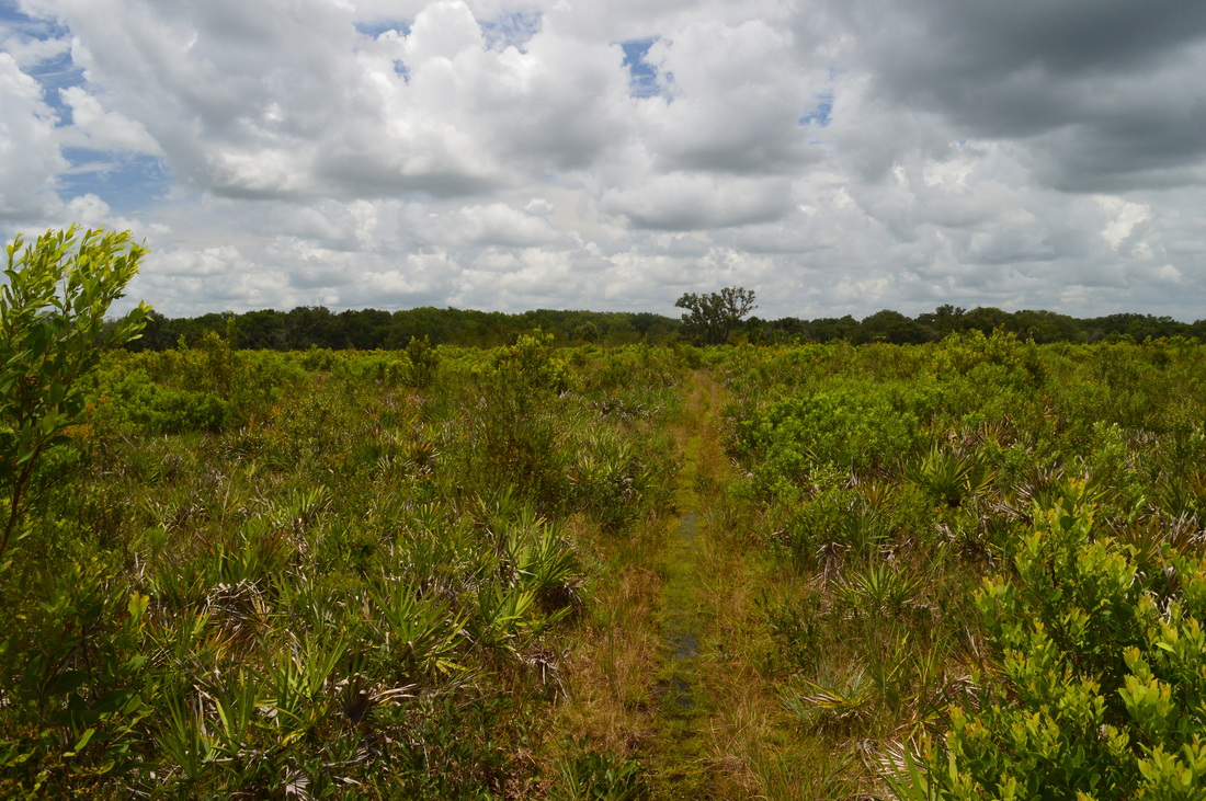
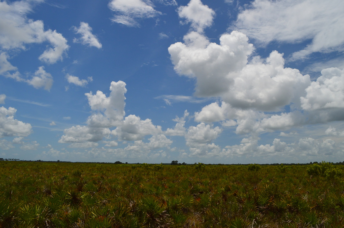
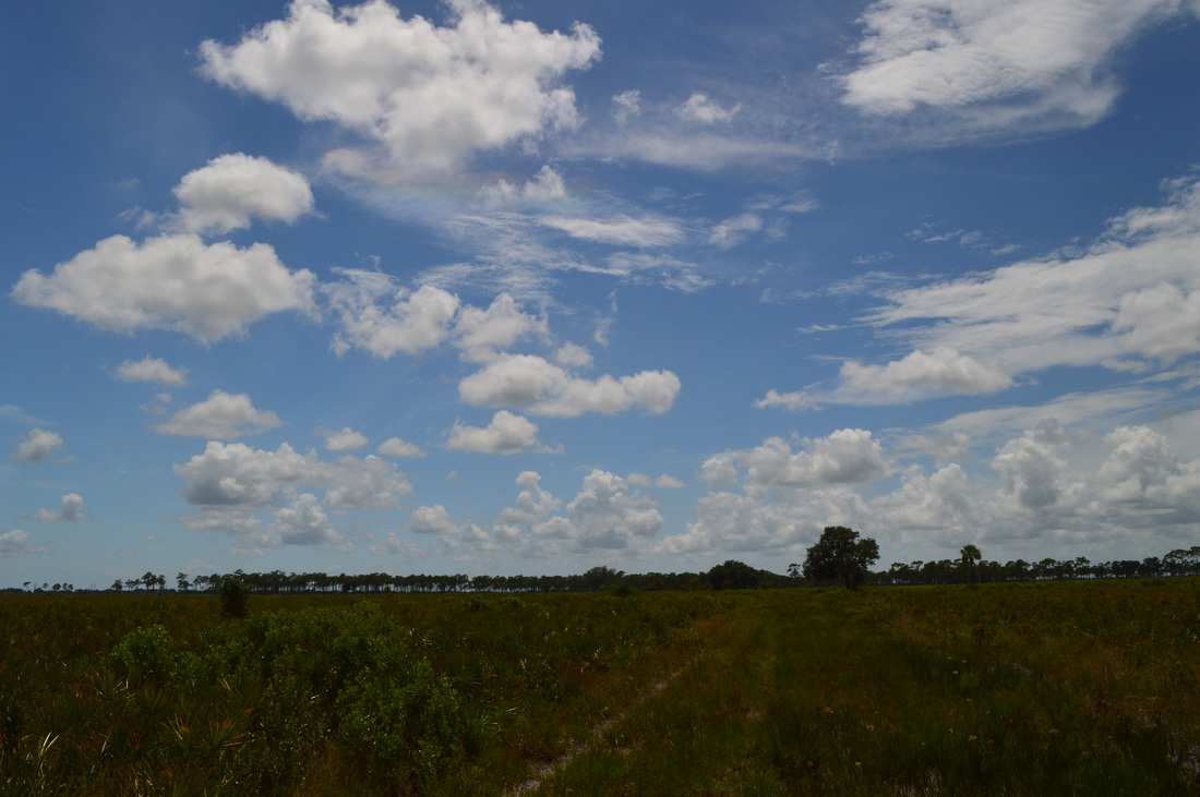
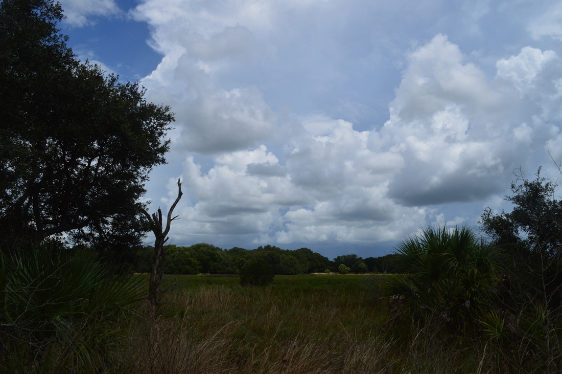
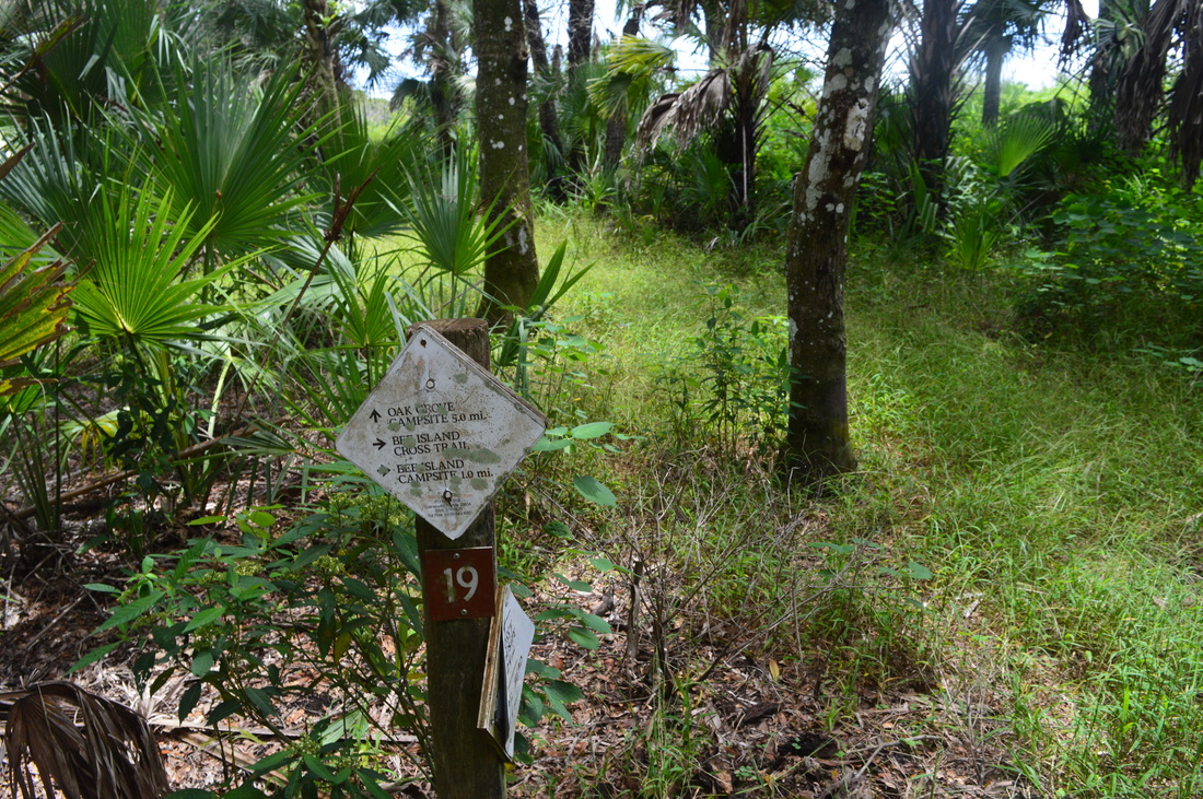
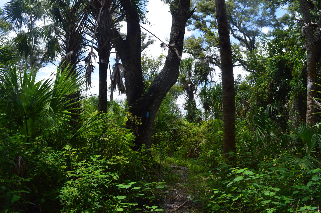
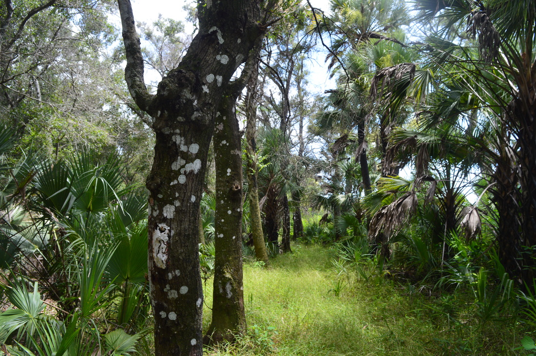
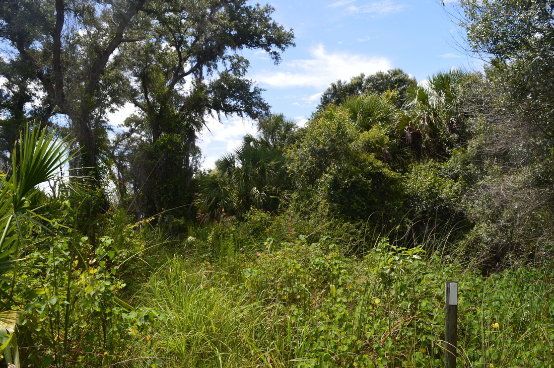
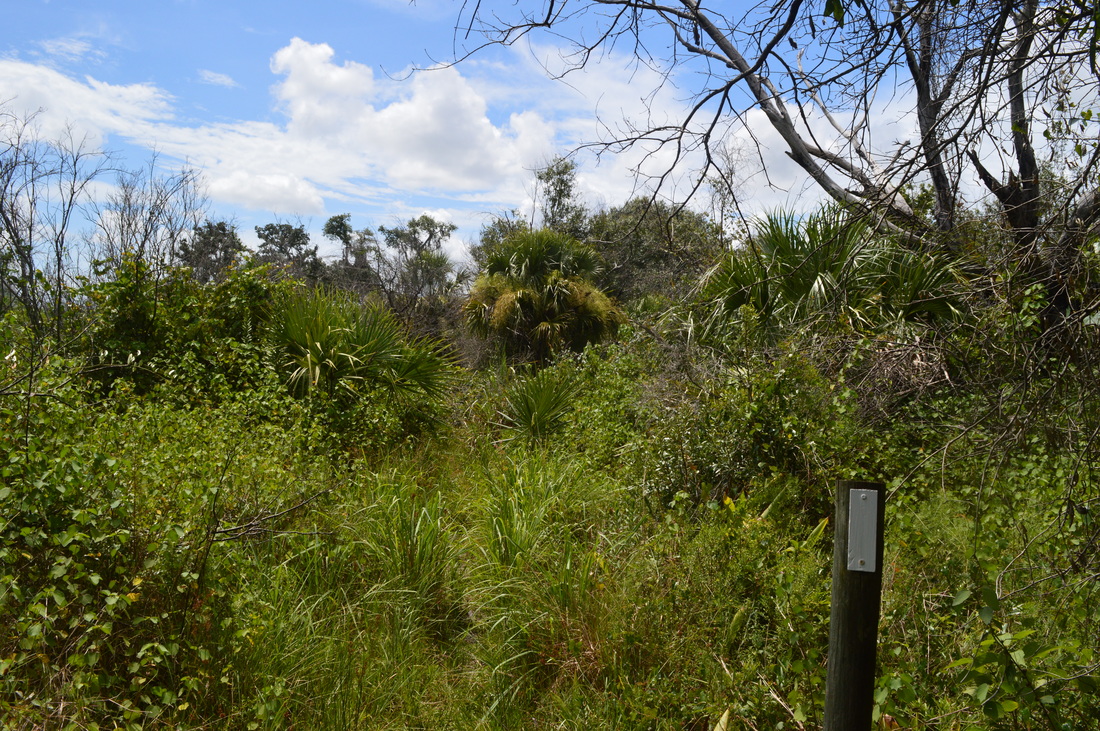
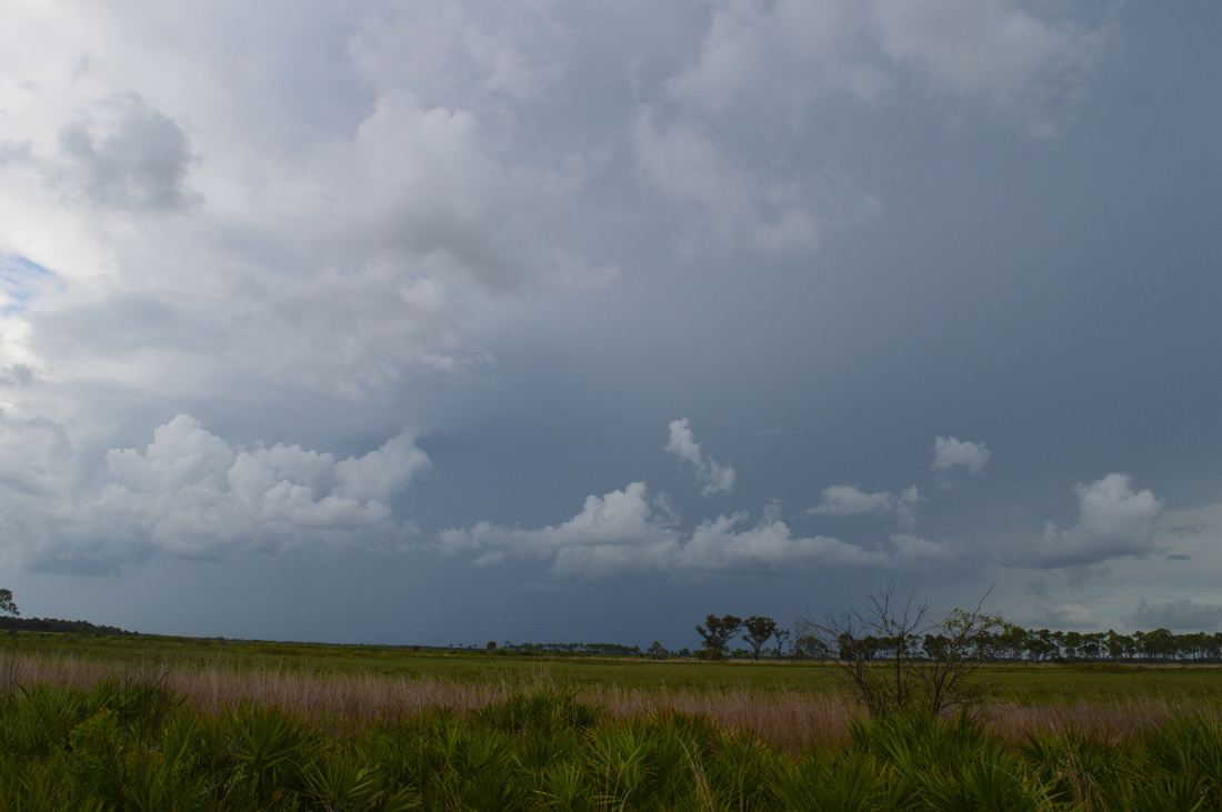
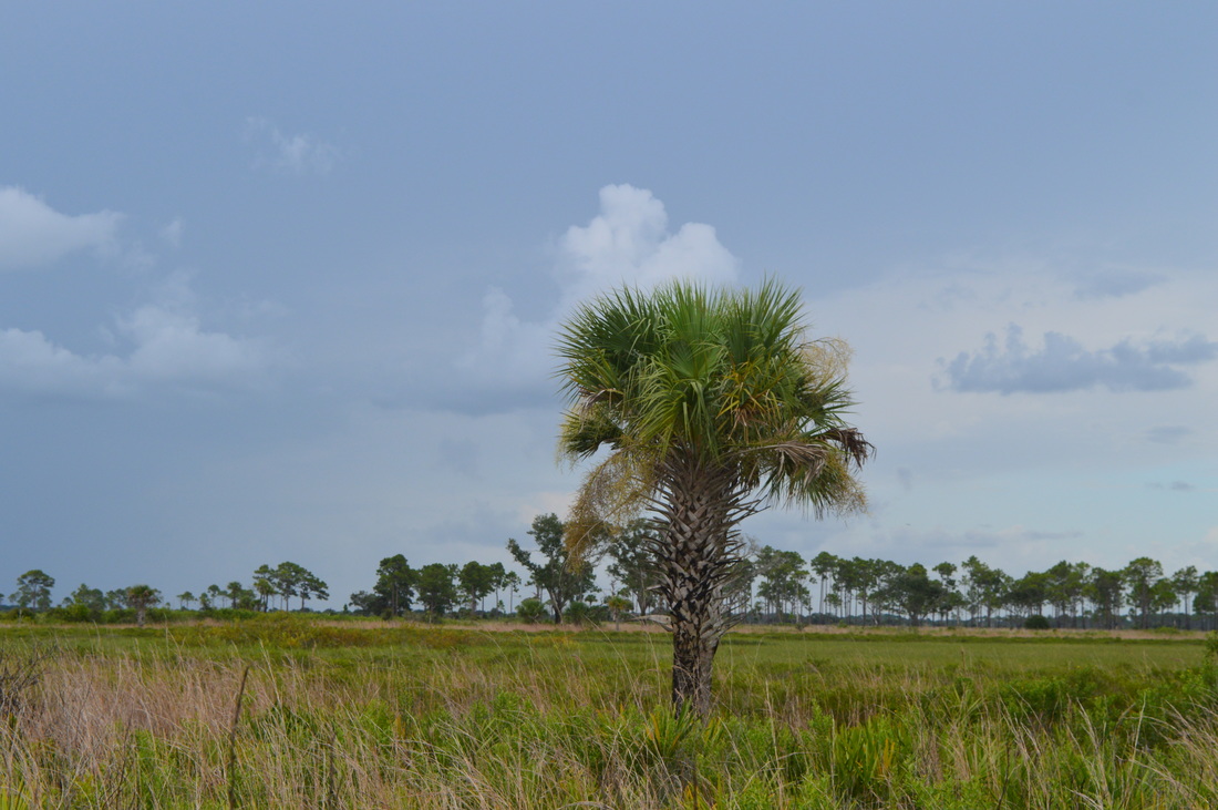
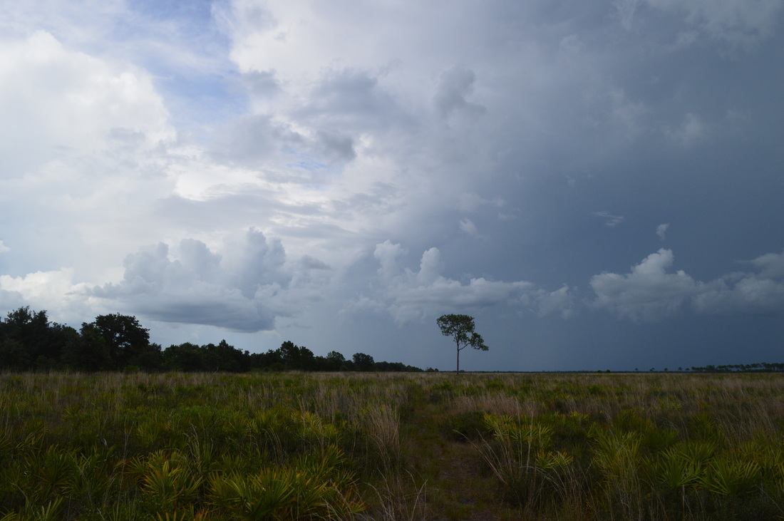
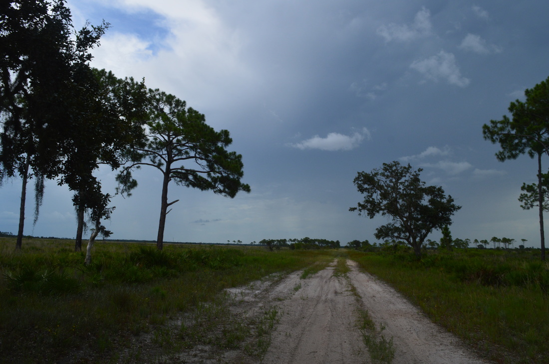
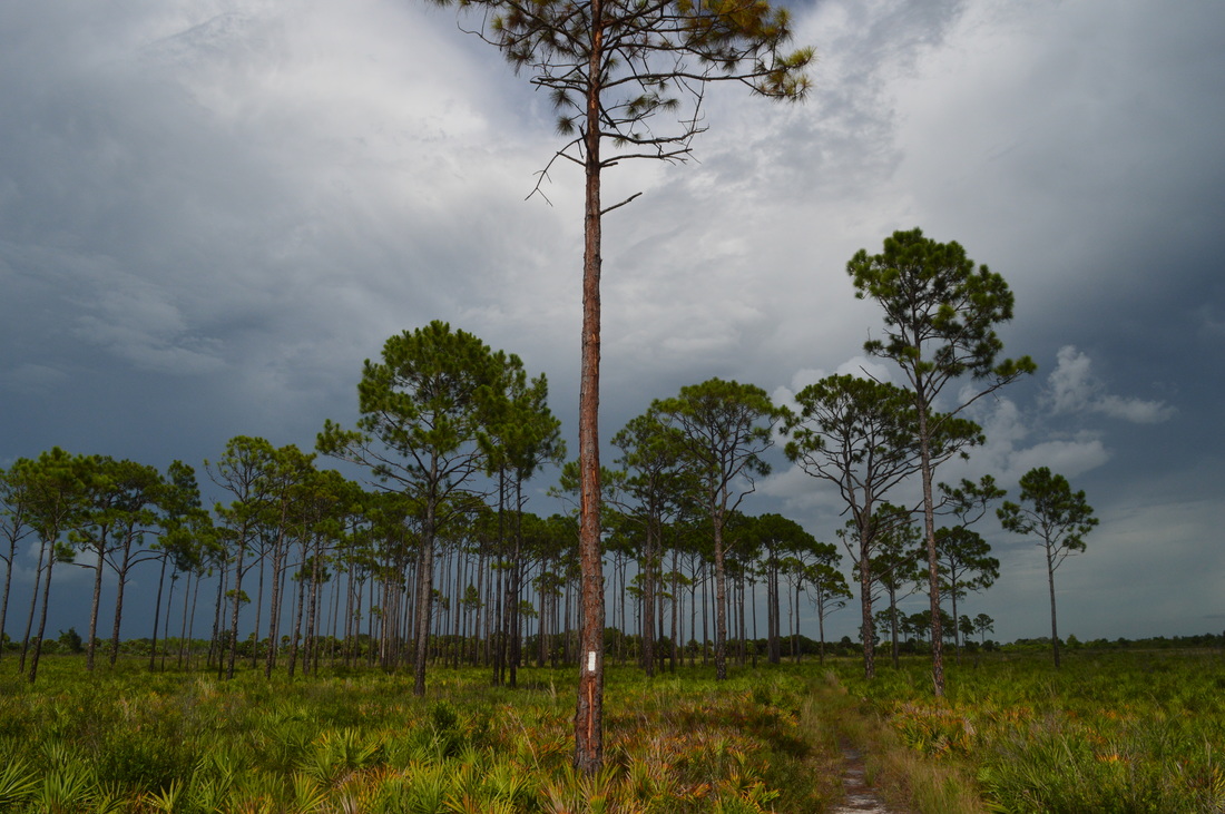
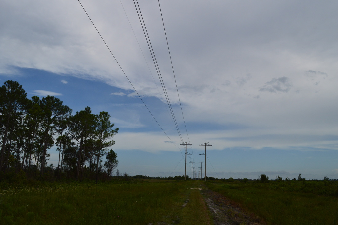
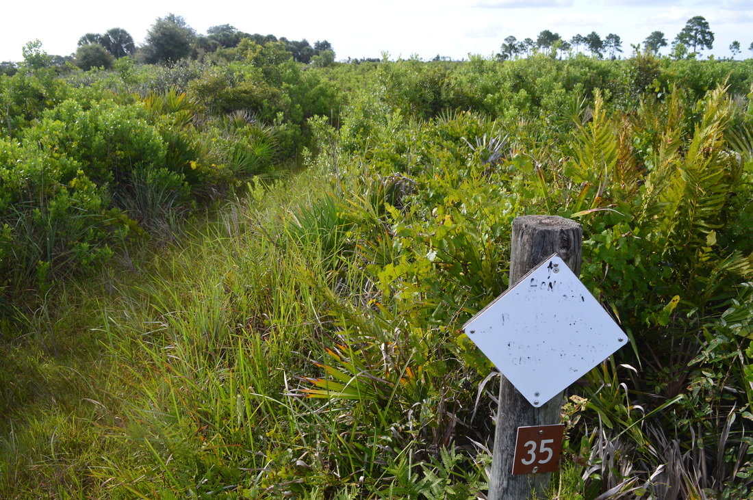
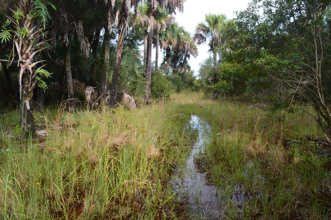
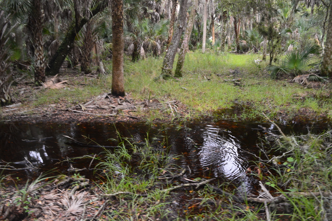
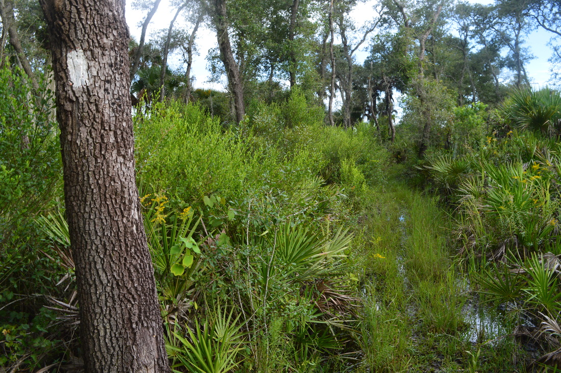
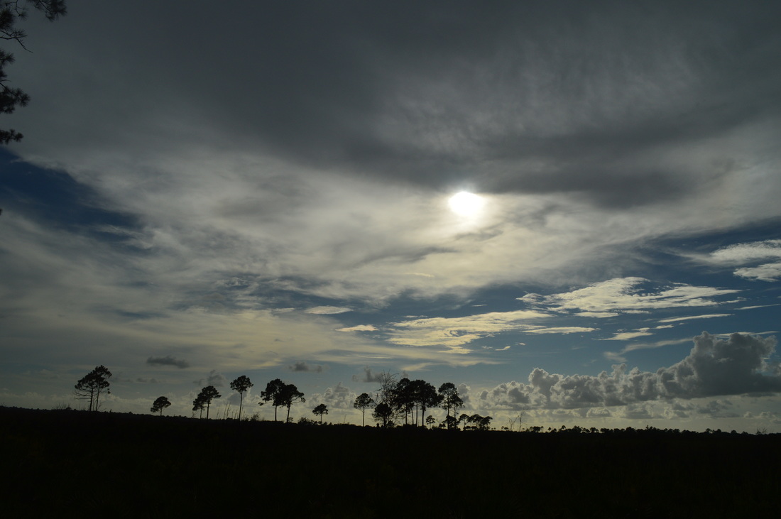
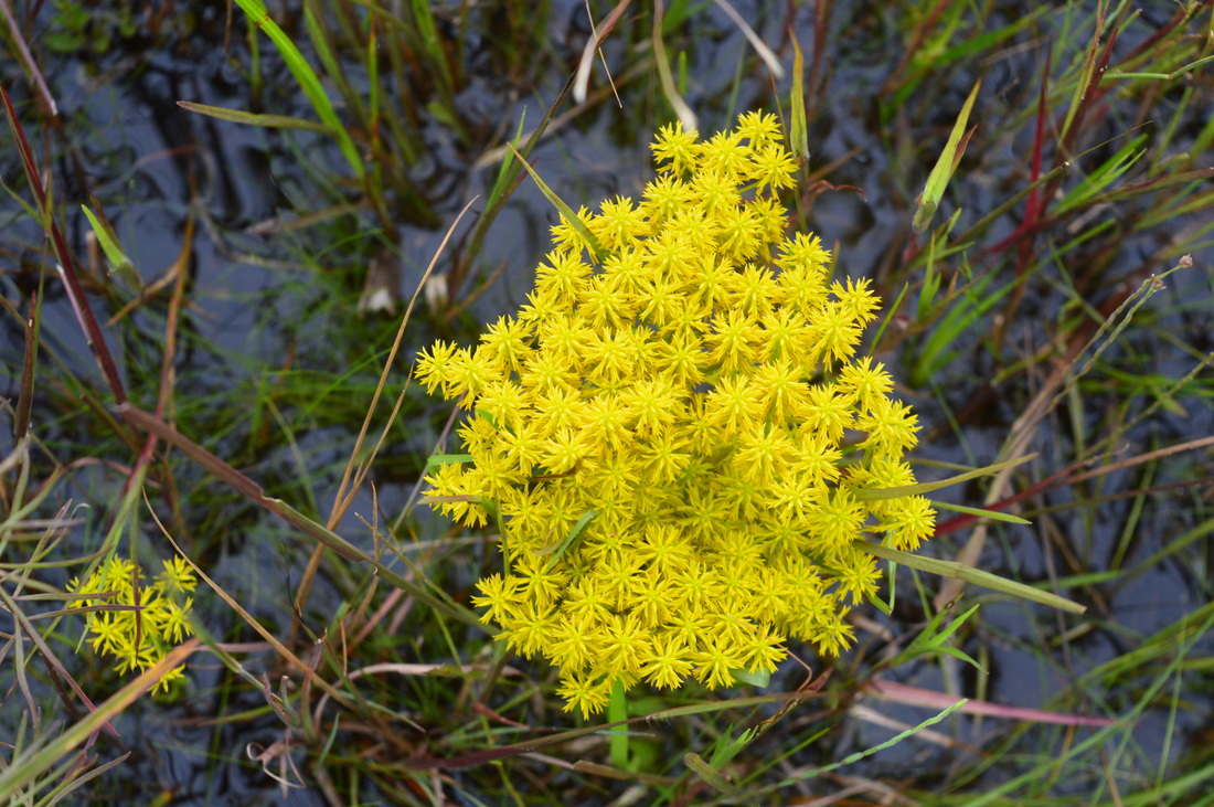
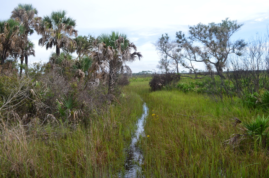
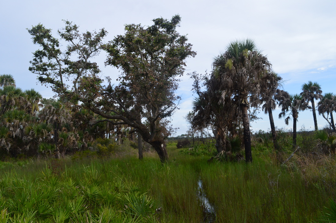
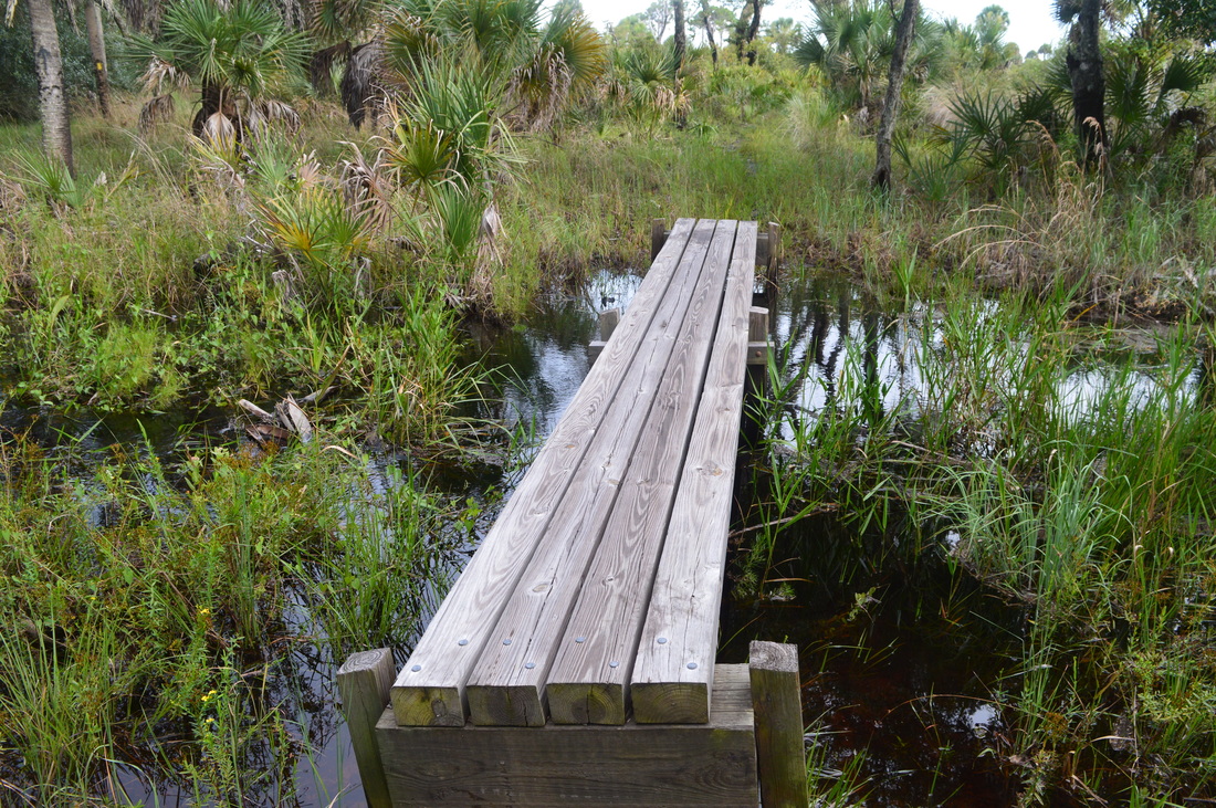
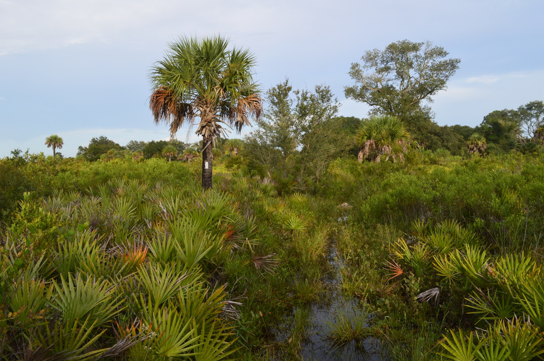
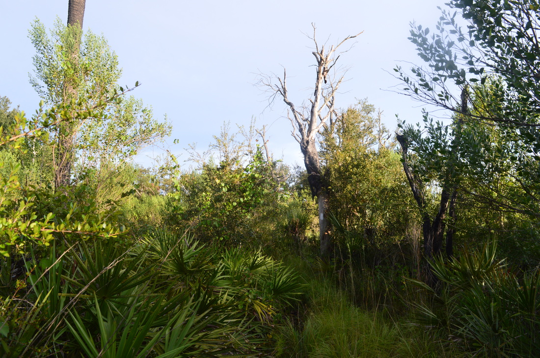
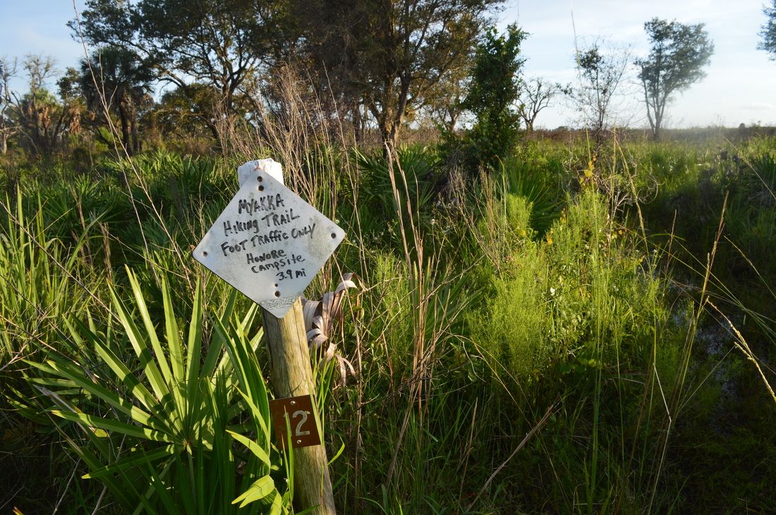
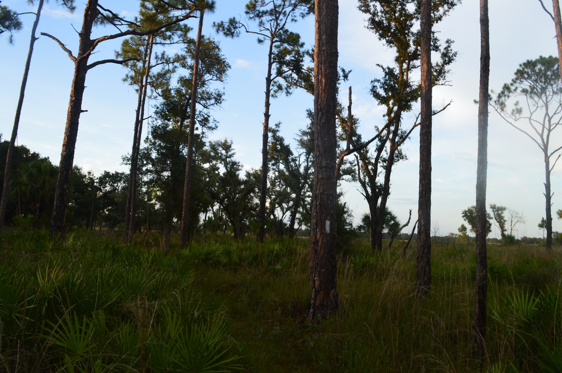
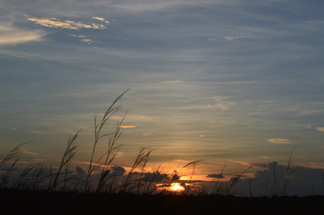
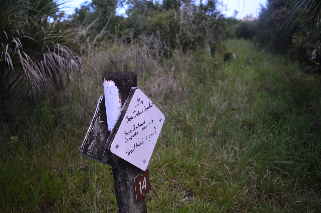
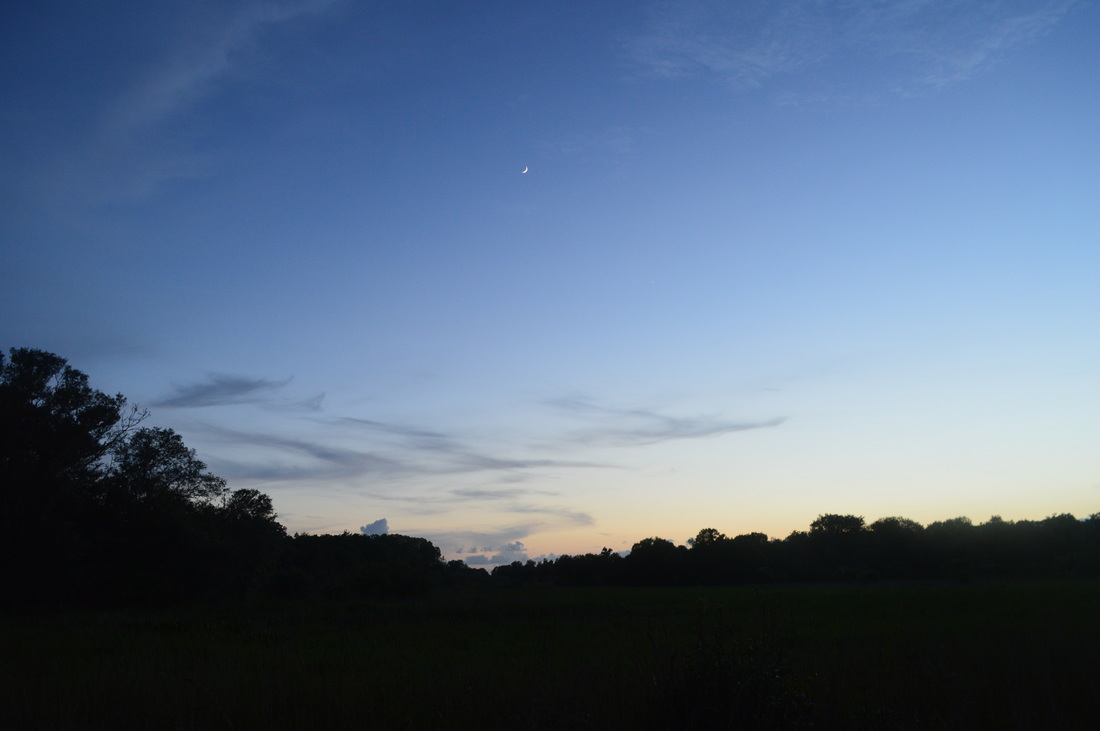
There are four separate trailheads in the park, although none access the hiking loop right away - all trailheads require you to access the hiking loop via service roads first. It is easiest to access the loop from Fox's Low Road - the trail is closest to the trailhead here. Take Fox's Low Road past the gate from the parking area. At 0.1 miles, at an open gate, bear left at a Florida Trail sign, leaving the road. You're now on the access trail to the main trail system. Shortly, pass a large blowdown on the trail. You will wind through thick woods before reaching a junction with the main trail at 0.3 miles. There is a sign with mileages here. Bear left onto the main trail here - a right turn would take you the opposite direction from which I hiked this loop. For now, the trail stays in the thick forest. At 1.1 miles, cross Fox's High Road. This is another access road that leads to the main park road. The intersection has a lot of gravel - the reason it's here is unclear. Soon, you'll pass several circular foundations on the left. These are the remnants of foundations of silos from a ranch that was once here. You'll be crossing small open areas from time to time, but the main prairie still lies ahead. At 2 miles, make a sharp right as you reach a small stream known as Mossy Island Slough. As you're in the presence of the stream, you'll cross a couple of small wet areas on the trail, although this is nothing compared to what will come later. At 2.4 miles, reach Mossy Hammock Campsite. A spur trail, marked by a sign, leads to it on the right. To the left, you can see a large prairie. You'll enter this prairie shortly, and once you enter it, you won't leave it for many, long, hot miles! At 2.6 miles, enter the prairie and make a left turn. It's not immediately obvious where the trail is going, but it's going as far as it can to stay in the prairie, so ignore the closer tree lines. The prairie is primarily a low saw-palmetto prairie. Very little to no grass is visible. In fact, most of the grass I saw in the prairies was dried up. There is really nothing much to describe about the trail is that traverses this prairie for several miles. You will cross a number of old roads in the prairie - ignore them, and keep following the trail. These old roads can be used for shortcuts, however. Do not venture on the roads without a map - it can get confusing! At 4.9 miles, a left turn onto an old road and an immediate right turn off the road brings you to the edge of the prairie and the tree line. If you look back, you'll see open prairie stretching all the way up to the horizon, literally. If you think you're done with the prairie, you're not! In fact, over twice more prairie hiking is yet to come. Also, note that the trail has been in fairly good shape so far - this will change very soon. Cross a footbridge over a seasonal drainage and traverse a grassy trail along the tree line at the edge of the prairie, before reaching a junction with the Bee Island Crosstrail at 5.2 miles. This is one of the key decision points on the hike. If you choose to turn right onto the crosstrail, you'll cut in half the hike's distance. The distance would be the ideal day hike distance for most hikers. Additionally, you'll escape the roughest parts of the trail. However, the adventurous can keep on. Also, check on your water at this junction. If you're running low on water, you would probably need to turn right, as you'll really need your water over the next 10 miles. You will find the Bee Island Campsite on the crosstrail, in case you want to spend the night there. Immediately after the junction, the trail's condition worsens. The grass is knee-high (at least in summer), and the path isn't quite as clear. Luckily, blazes are plentiful enough to not let you lose the trail. Over the next mile, there will be nearly obliterated sections of trail, swallowed up by the surrounding bushes and grass. If you haven't seen blazes for a while, backtrack and find them. At a confusing split in the trail without blazes, both routes will work - they join together shortly. All of the time, the prairie is just to your right - a relief by the time the trail enters it, as it would mean it would be easier to follow... at first glance. In reality, though, it won't be much better on the prairie, with uneven trail on clumps of prairie dirt. Soon, the trail reenters the prairie. This time, you won't leave it for a good 8 or so miles - except for brief periods when it enter small patches of forest. You will cross a couple of dirt roads in the prairie that can act as shortcuts if you want to make a last-minute change in your plans. On one particular crossing, I somehow missed a turn of the trail. Honestly, I have no idea how or where I missed it, but if you do the same thing, and you find yourself yielding onto a rough, very old road that is very uneven, it means you have missed the turn as well. However, you can simply work your way through the palmetto prairie to the right of the road and you'll be back on the trail in no time. Try aiming for a distant white sign - if you see it - as it's on the trail and it marks the junction with Bobcat Crosstrail. Hopefully, you don't miss the turn like I did though. At 7.2 miles, reach a junction with the Bobcat Crosstrail. This is a very important junction, and it must not be missed. If you miss this junction, you'll end up lengthening your hike by many miles. This short crosstrail will bring you onto the south side of the loop - don't forget that the whole loop is 39 miles long, and that's what this crosstrail shortcuts! Even though there is one more crosstrail down the main loop, you will still hike considerably farther than I did on this day. The Bobcat Crosstrail leaves the main loop and heads off to the right into the endless prairie land. After you turn right, the trail is actually pretty obvious. In fact, this trail is in better condition than a good portion of the main trail. At 7.5 miles, you will reach the Old Railroad Grade preceded by a short footbridge over a drainage. The Old Railroad Grade is one of the primary old roads and biking trails in the park. Cross the road, cross another footbridge, and continue into a prairie occasionally intercepted by stands of pine trees. At 8.1 miles, the crosstrail dead-ends at the main trail. Turn right here. You have now turned west. From here, it is 3 miles to Honore Campsite. By now, I was getting low on water - something I had generally not expected. I didn't know that so much of this trail would be on hot, open prairies. After you get back on the main trail, the condition worsens. You'll be weaving in and out of patches of forest on a narrow pathway. Keep an eye on the blazes. At 9.6 miles, cross South Powerline Road and the powerlines that it's named after. After more prairie hiking, you will finally reach the spur trail to Honore Campsite at 11.1 miles. The spur trail heads to the right, and the campsite is in a hammock. The trail around the intersection may be slightly underwater. And this is where the continuous swamp slogging starts. The trail turns left from the campsite spur and almost immediately leaves the prairie, although it doesn't go too far from it. For the next several miles, the trail stays in hammocks along the edges of prairies, occasionally entering prairies for short periods of time. This part of the trail is the hardest section on the entire hike - you'll be walking through water, sometimes up to knee-deep, for several miles, and the trail may be overgrown in places. As soon as the trail leaves the prairie, it hits the wetlands. Of course, none of this water may be here in the winter - I don't know for sure. At 12.2 miles, cross an old road and dive back into the wetlands, alternating between shallow water on the trail and crossing small streams. At 13.7 miles, cross a footbridge over a wide stream. I was surprised to find a footbridge here after all of those miles of wetness. I guess this stream would've been a deep ford, so they built a footbridge. By now, you're probably quite wet, though. The half-mile that follows is some of the poorest trail yet. You'll cross another footbridge and then wind through grass as high as waist tall and traverse an underwater trail. Keep an eye on the blazes - it is easy to get confused here. At 14.1 miles, reach Old Railroad Grade as well as the powerlines once again. To find the trail across the road, turn right, pass between the two powerline poles, and turn left here. This trail entrance is not seen from the place where the trail reaches the road, so I was searching for it for a while. Once you find the entrance, there is a sign just down the trail. Here, you can take a deep breath and relax, as you've made it through the hardest part. There will still be a few wet areas ahead, but they won't be a big problem, and you won't encounter any more overgrown areas. For the most part, the trail continues to stay in forest, but you'll be able to catch many views of the prairies to the left and the right. I saw a great sunset from this stretch of trail. Also, you'll notice that the trail parallels the powerlines for some time, before eventually turning left. At 15.7 miles, reach a junction with Bee Island Crosstrail. Sounds familiar? This is the same trail you encountered closer to the beginning of the hike. This is where it comes out, and it does save a lot of distance. Continue straight here. At 16.6 miles, cross an old road, followed by another one, known as All Weather Road, at 17.2 miles. At All Weather Road, briefly turn right onto it, cross a creek on a road bridge, and then swing left back onto the trail. This is the last road crossing until Fox's Low Road near the end of the hike. The trail fully stays in forest from here. The trail makes frequent turns and zigzags throughout the forest, so be alert for blazes. The path itself is obvious though. Following one final prairie, reach Fox's Low Road at 19.6 miles. I was excessively tired by now, so I opted to turn left here instead of finishing the loop - the distance is pretty much the same. You will reach the trailhead in a half-mile at 20.1 miles. Variations
Shorten this hike via Bee Island Crosstrail - 11.6 Miles
Make this hike an overnight one There are also other variations by using the park's many old roads. There are too many to list - consult the park map if you're interested. Bonus Stops
If you really think you can manage any bonus stop after this long hike, I would suggest checking out the William S. Boylston Nature Trail. However, I did it before the main hike - I will suggest that you do the same.
PicturesVideos
2 Comments
Christian Borngräber
1/5/2018 10:38:25 pm
Thanks for the great write-up! This inspired me to hike the exact same trail yesterday. It took me about 8 hours in total during winter conditions which are much drier than what I can see from your pictures. The signs with directions are now much more “professional” and very good to see. The trail is in great condition and it seems as if the volunteers have done a great job cleaning up after Irma. Some of the “palm forests” look very devasted during this first winter after Irma. Leave a Reply. |
About MeMark Oleg Ozboyd Dear readers: I have invested a tremendous amount of time and effort in this website and the Georgia Waterfalls Database the past five years. All of the work that has gone in keeping these websites updated with my latest trip reports has almost been like a full-time job. This has not allowed me to pick up a paid job to save up money for college, and therefore, I I've had to take out loans. If you find the information on this website interesting, helpful, or time-saving, you can say "thanks" and help me out by clicking the button above and making a contribution. I will be very grateful for any amount of support you give, as all of it will apply toward my college tuition. Thank you!

Coming in 2022-2023?
Other Hiking WebsitesMiles HikedYear 1: 540.0 Miles
Year 2: 552.3 Miles Year 3: 518.4 Miles Year 4: 482.4 Miles Year 5: 259.9 Miles Archives
March 2021
Categories
All
|


 RSS Feed