Miller Trek is one of Northeast Georgia's most underrated trails. Starting out from Brasstown Valley Resort near Young Harris, Miller Trek makes a loop on the slopes of Rocky Knob at the north end of a ridge extending from Brasstown Bald, Georgia's tallest peak. Besides the peace that this remote trail offers, it also passes a little-known spur trail to a bluff on the south side of Rocky Knob with a breathtaking 270-degree view that encompasses much of Brasstown Valley as well as Lake Chatuge, the towns of Hiawassee and Young Harris, and even the west end of Southern Nantahala Wilderness including Eagle Mountain. Adventurous hikers can continue along the ridge to tall cliffs on Cedar Knob, where more views to the west into Brasstown Valley await. This hike occurred on Monday, August 21st, 2017. My plan was to hike the Miller Trek Loop and Keys Branch Loop counter-clockwise. Along the way, I would make a side trip to Rocky Knob Bluff, where I would watch the Great American Total Solar Eclipse of 2017, and I would also continue to the clifftop views on Cedar Knob.
Summary
R/T Length of Trail: 8.1 Miles
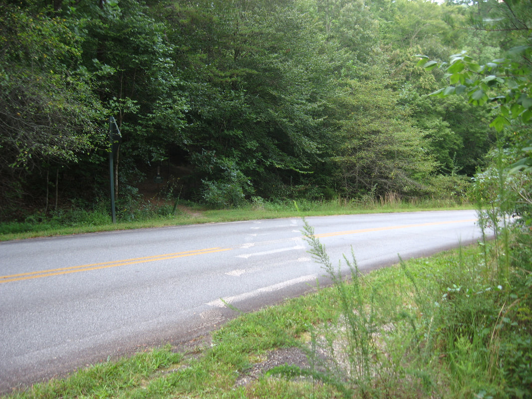
Duration of Hike: 7:15 (with over 2.5 hours of break, most of it to watch the solar eclipse) Type of Hike: Loop Difficulty Rating: 6 out of 10 Total Elevation Gain: 2192 Feet Pros: Spectacular little-known vistas and solitude Cons: None Points of Interest: Rocky Knob Bluff Vista - 8 stars; Cedar Knob Cliffs Vista - 7 stars Trail Blaze Colors: Keys Branch Trail - Blue; Miller Trek Trail - Green; Rocky Knob Bluff Spur Trail - None Best Seasons to Hike: Fall Fees: None Beginning Point: Hikers Parking in Brasstown Valley Resort Directions from Young Harris, GA: Follow US Route 76 North for 1.4 miles until Brasstown Valley Resort entrance. Turn right onto Deer Path Lane and follow it for 1.2 miles to the lodge, then keep left to the golf course. You should see a sign for trailhead parking. Map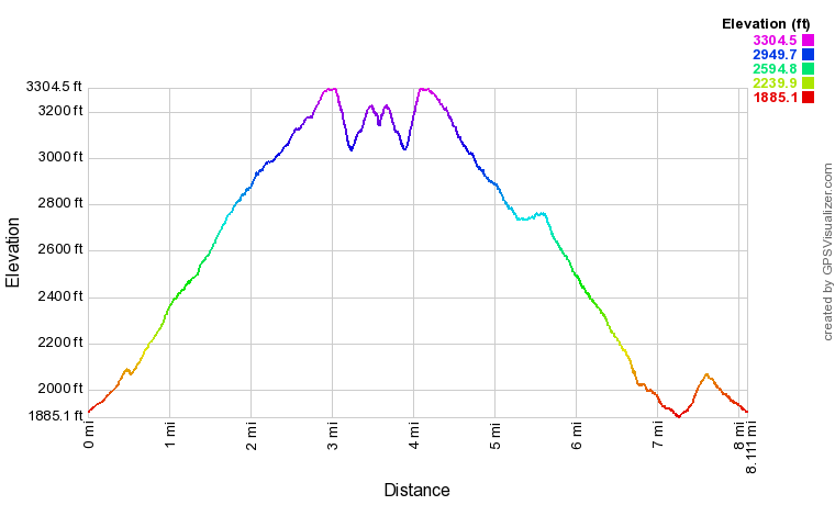
Click the link below to download a .GPX file with a track of this hike.
Details
My previous hike on the Miller Trek Trail was about two and a half years ago. At the time, I really enjoyed the trail due to its solitude but I was not aware of any good views on or near the trail. Since then though, I noticed the presence of two large rock formations nearby - one on the south side of Rocky Knob and one on the west side of Cedar Knob - and determined that they were likely to have panoramic vistas. The confirmation came when my friend Greg Ford visited the first rock outcrop on Rocky Knob and discovered an outstanding view. With the long-awaited Great American Total Solar Eclipse of 2017 coming up, I was searching for a great place to view it without people, and Rocky Knob Bluff turned out to be the perfect spot. Also, I was able to ascertain the existence of more great views on Cedar Knob, although they are not quite as good as those on Rocky Knob and may not be worth the off-trail effort to some people.
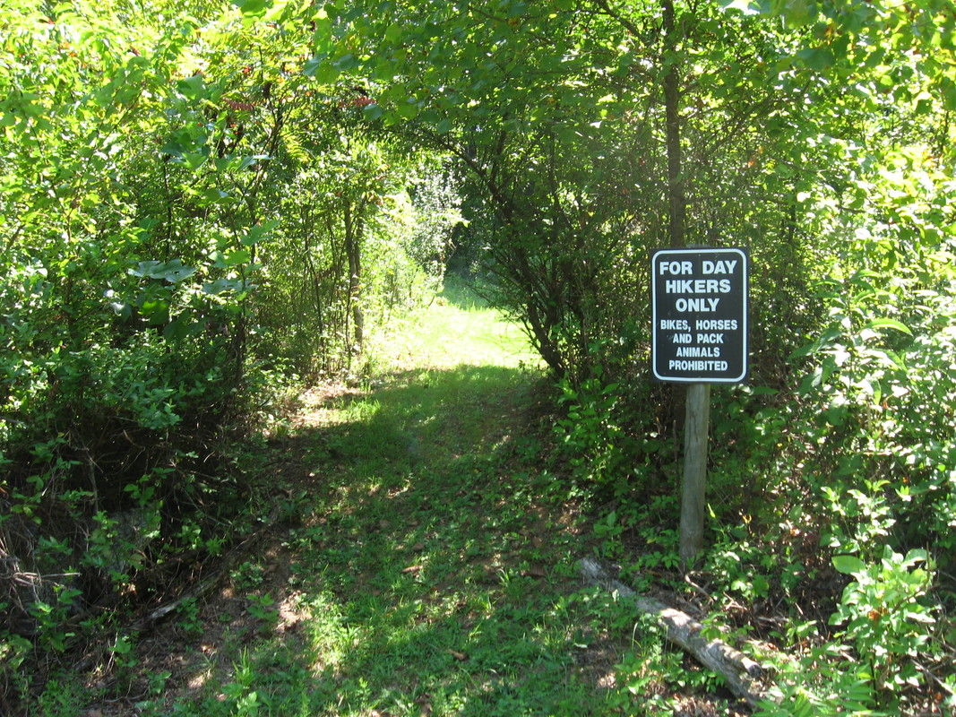
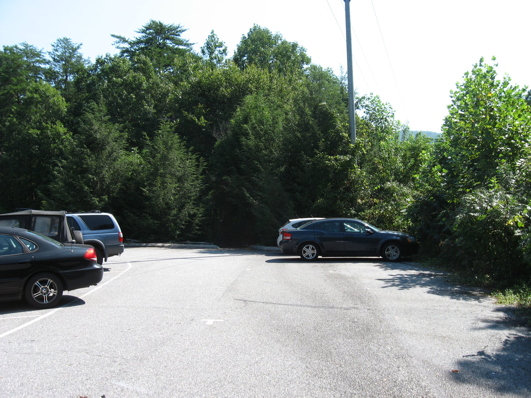
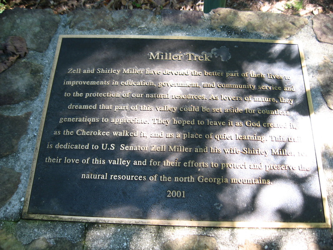
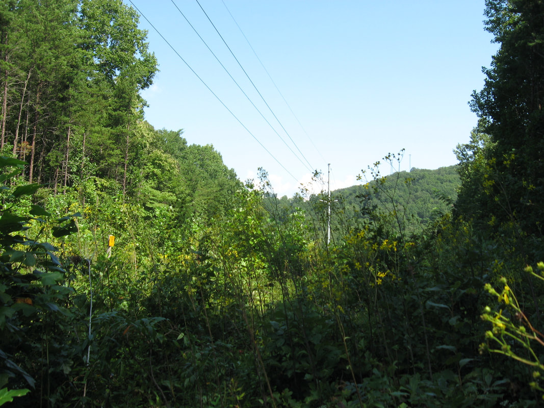
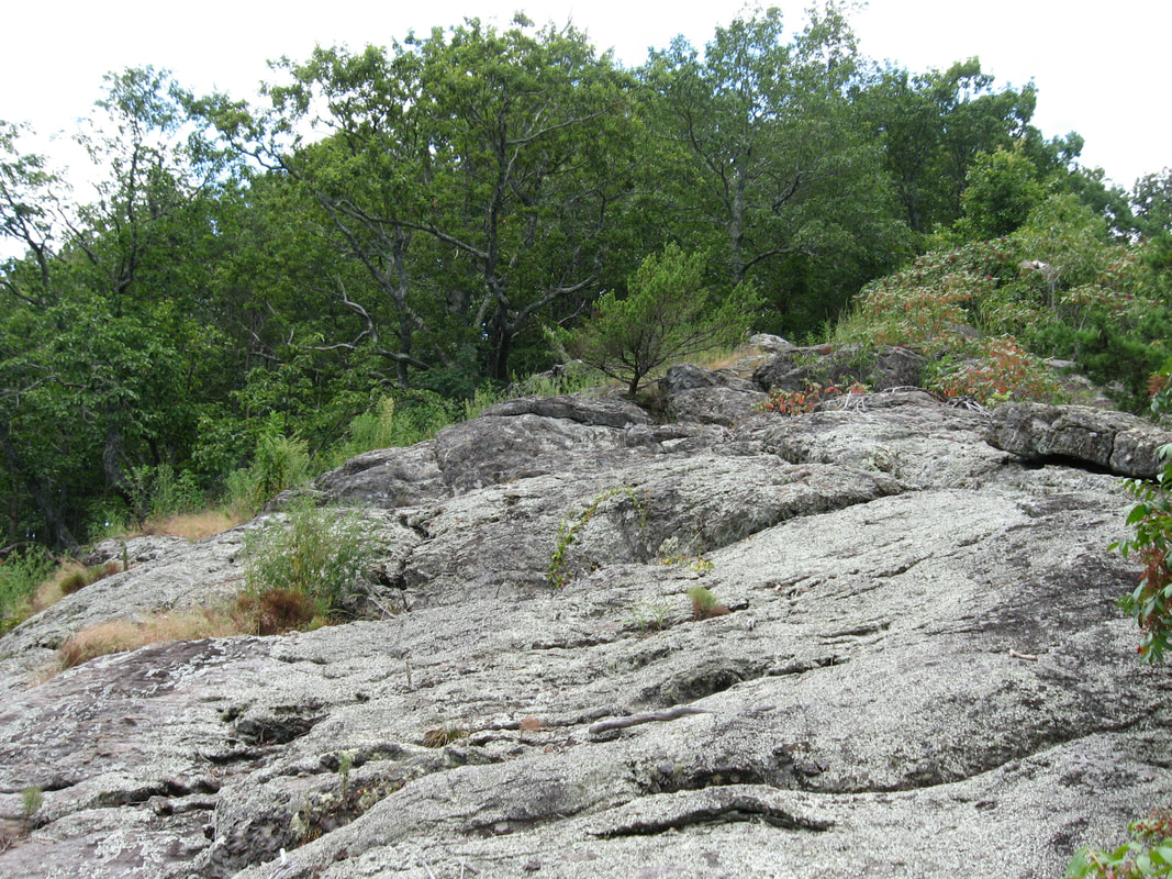
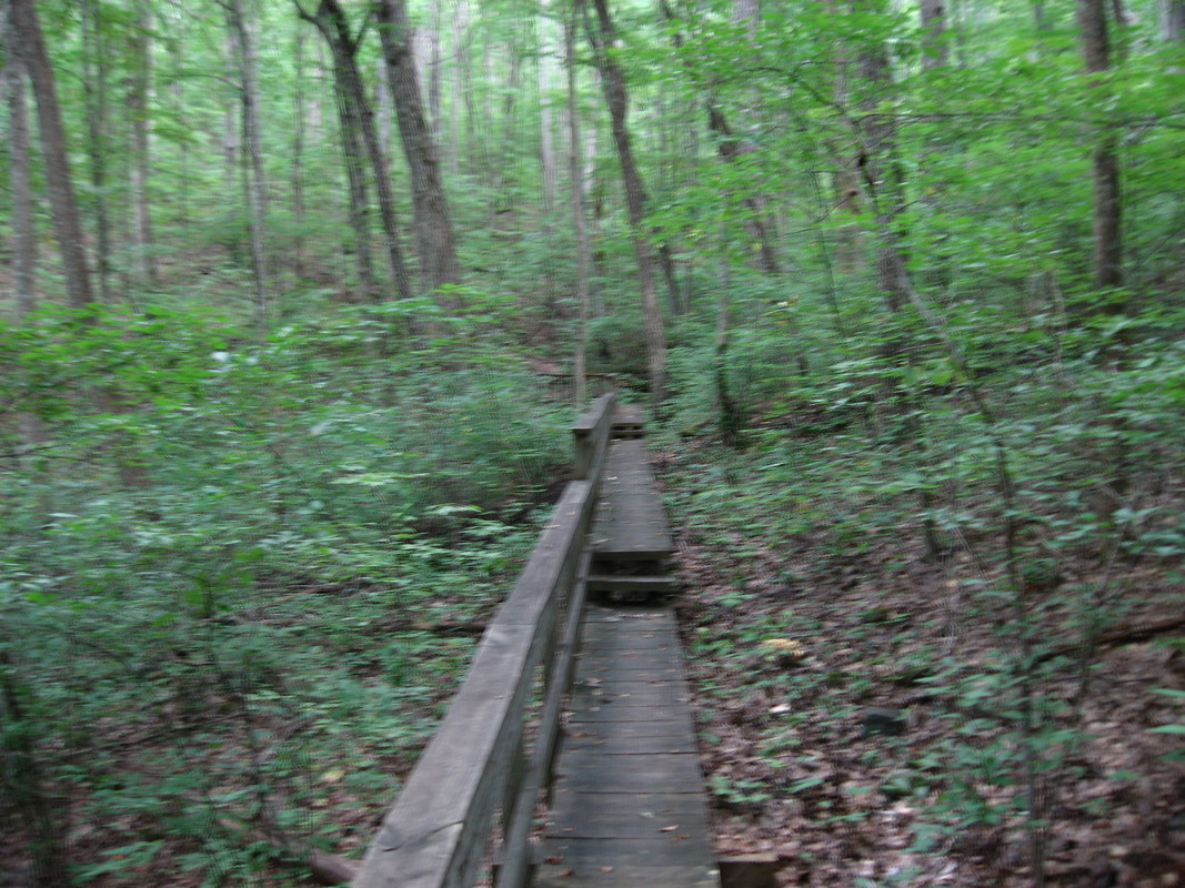
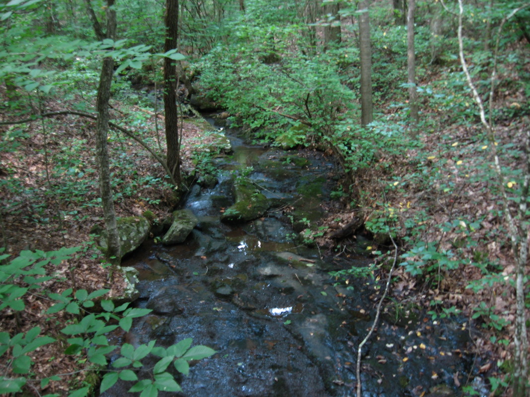
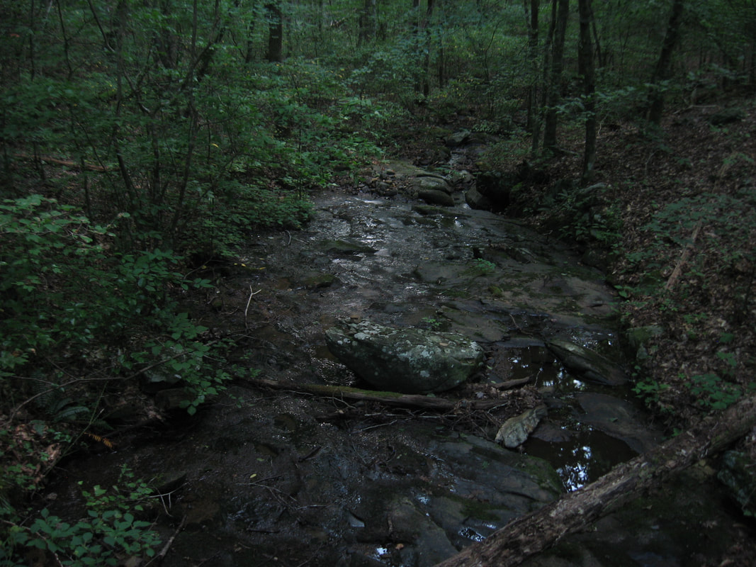
The hike begins at the signed trailhead parking near Brasstown Valley Lodge and its golf course. From the grassy parking area, a double-track trail signed "For Day Hikers Only". The trail comes out onto the paved resort road in 250 feet. Turn right onto the road and then follow the "T" signs painted on the pavement down a parking lot reserved for lodge employees. At the far end is the arched entryway to Miller Trek. A commemorating plaque for Zell and Shirley Miller describes the role they played in the conservation of the land that Miller Trek passes through today. The trail begins a gentle ascent up a small stream valley, bridging the stream and then passing through a short muddy stretch before reaching a junction with the Keys Branch Trail at 0.25 miles where the loop begins. Turn right onto the Miller Trek Trail and continue ascending at an easy grade, passing behind one of the resort cabins. After recrossing the stream and a forest road, the Miller Trek Trail (which runs in conjunction with the Keys Branch Trail here) comes to another signed junction at 0.7 miles. The blue-blazed Keys Branch Trail continues straight for a short and easy loop, while you must turn right onto the green-blazed Miller Trek Trail. In about 350 feet, turn right again to stay on Miller Trek as the Upper Loop Connector heads straight. Miller Trek then crosses a powerline cut and begins the ascent of Rocky Knob proper, entering the peaceful woods that blanket the western slopes of Rocky Knob and set apart Miller Trek from many other trails in terms of remoteness. Most of this part of Miller Trek consists of steady and relentless moderate uphill, but there are a few steep sections and also a couple easy sections. At 1.15 miles, the Miller Trek shortcut leaves to the left. Stay on the main trail. There are few switchbacks as the trail gains elevation. At 1.9 miles, Miller Trek crosses a footbridge across the headwaters area of the same stream you followed near the beginning. The Miller Trek Trail reaches a lead from Rocky Knob at 2.3 miles, making a 180-degree turn to the left. After one last sharp switchback, Miller Trek reaches the crest of the ridge just south of the north summit of Rocky Knob at 2.9 miles. At this point - the exact high point on the trail just before it curves left northward - the unmarked side trail to Rocky Knob Bluff leaves to the right along the nearly level ridge. While the side trail is considerably narrower than the official Miller Trek Trail, it is still very distinct, and if you're looking for it carefully, you won't miss it. The side trail follows the ridge south-southwest, rising up the lower south summit of Rocky Knob at 3.05 miles and then dropping down the south side of the knob. About 250 feet past the summit, at 3.1 miles, the path ends at Rocky Knob Bluff with spectacular views. 
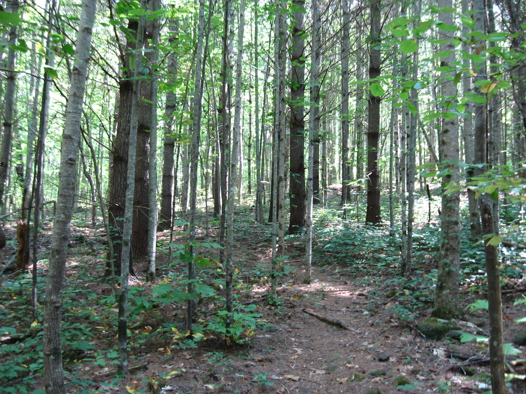
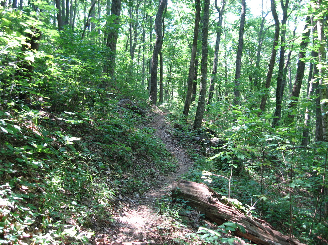
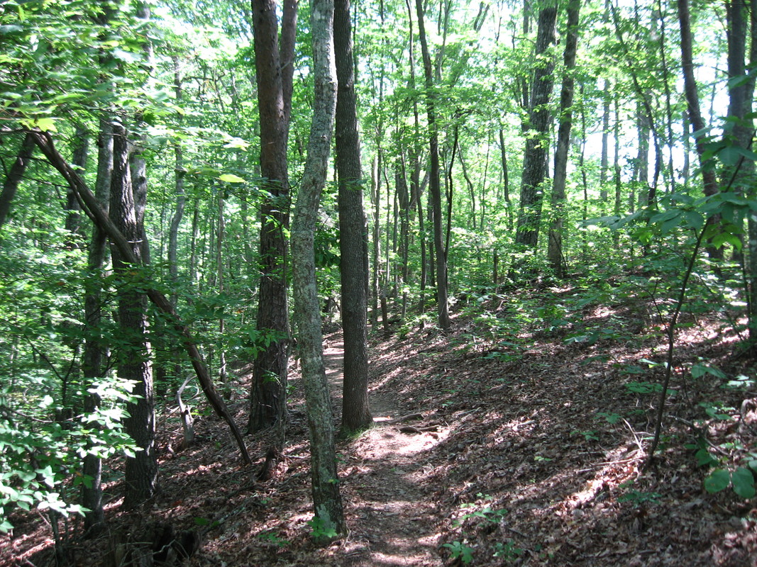
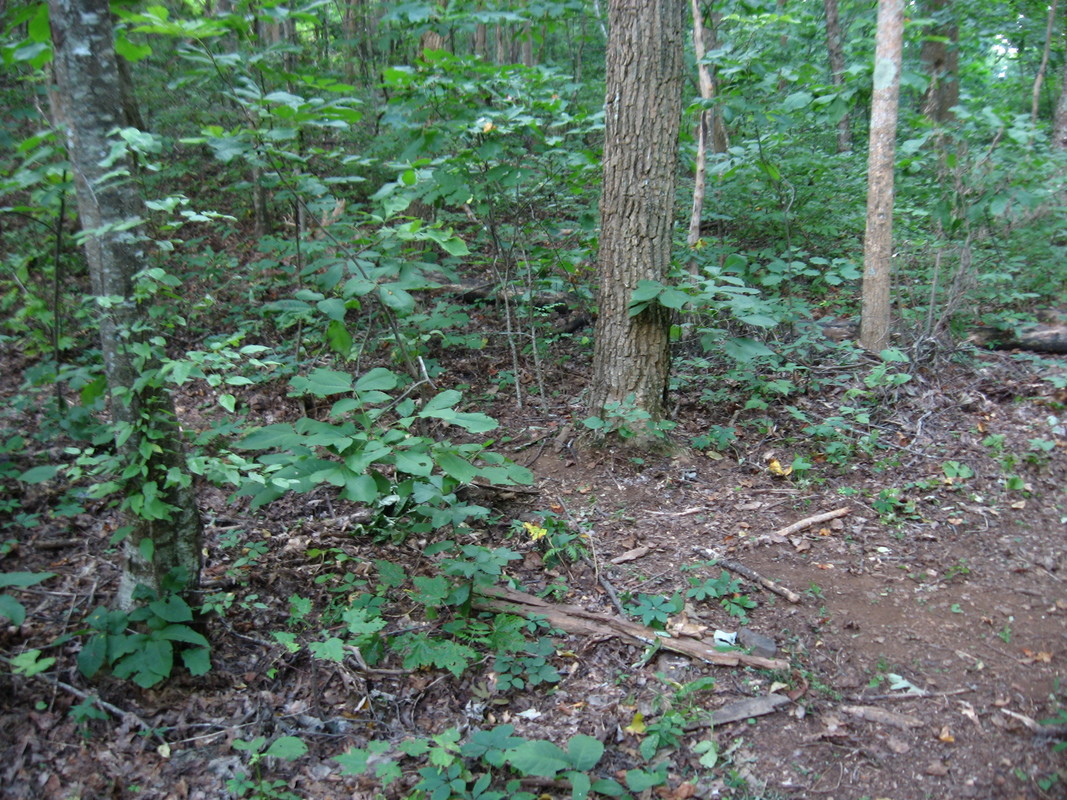
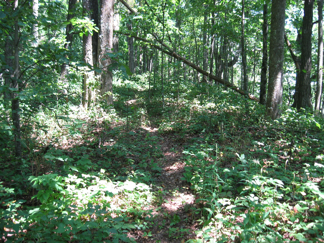
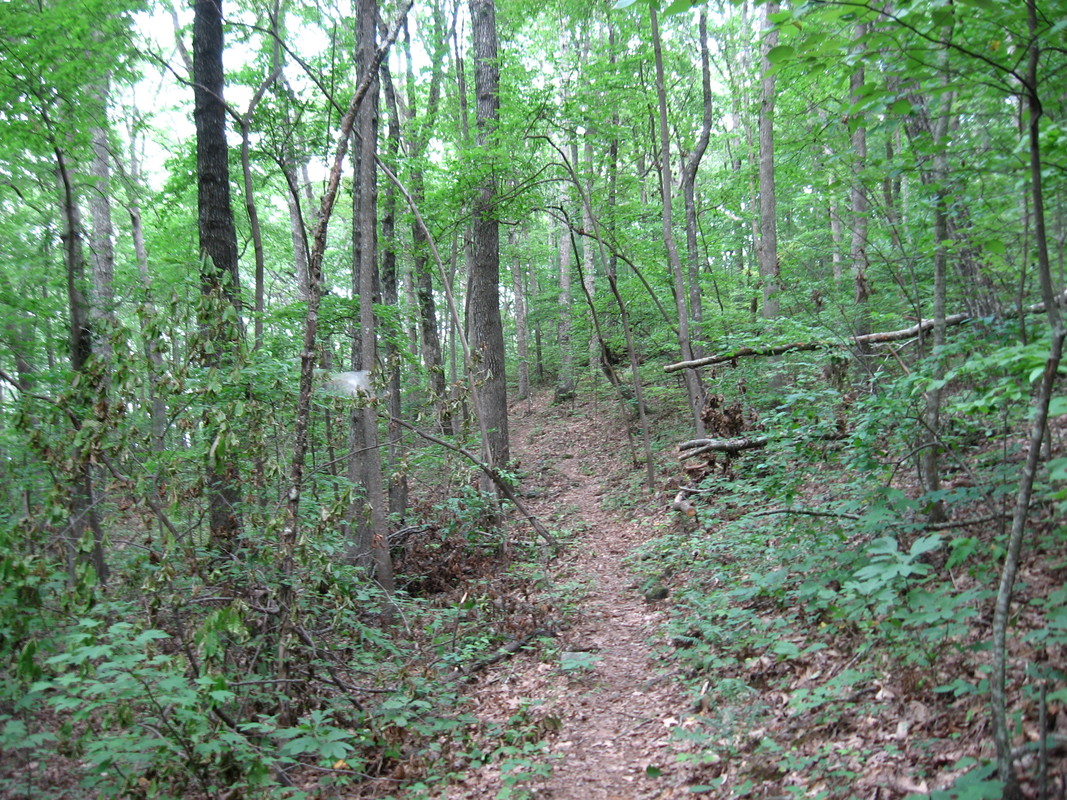
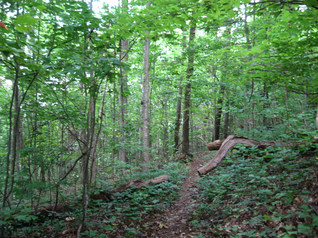
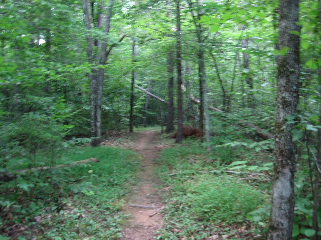
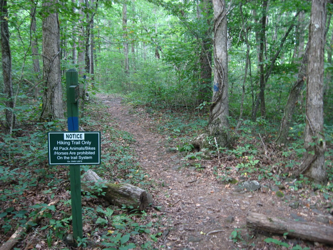
One thing that sets apart Miller Trek Trail from many other trails is that being little-used, it passes through peaceful and remote forest.
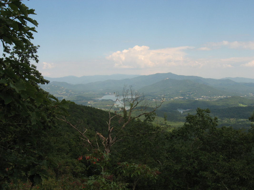
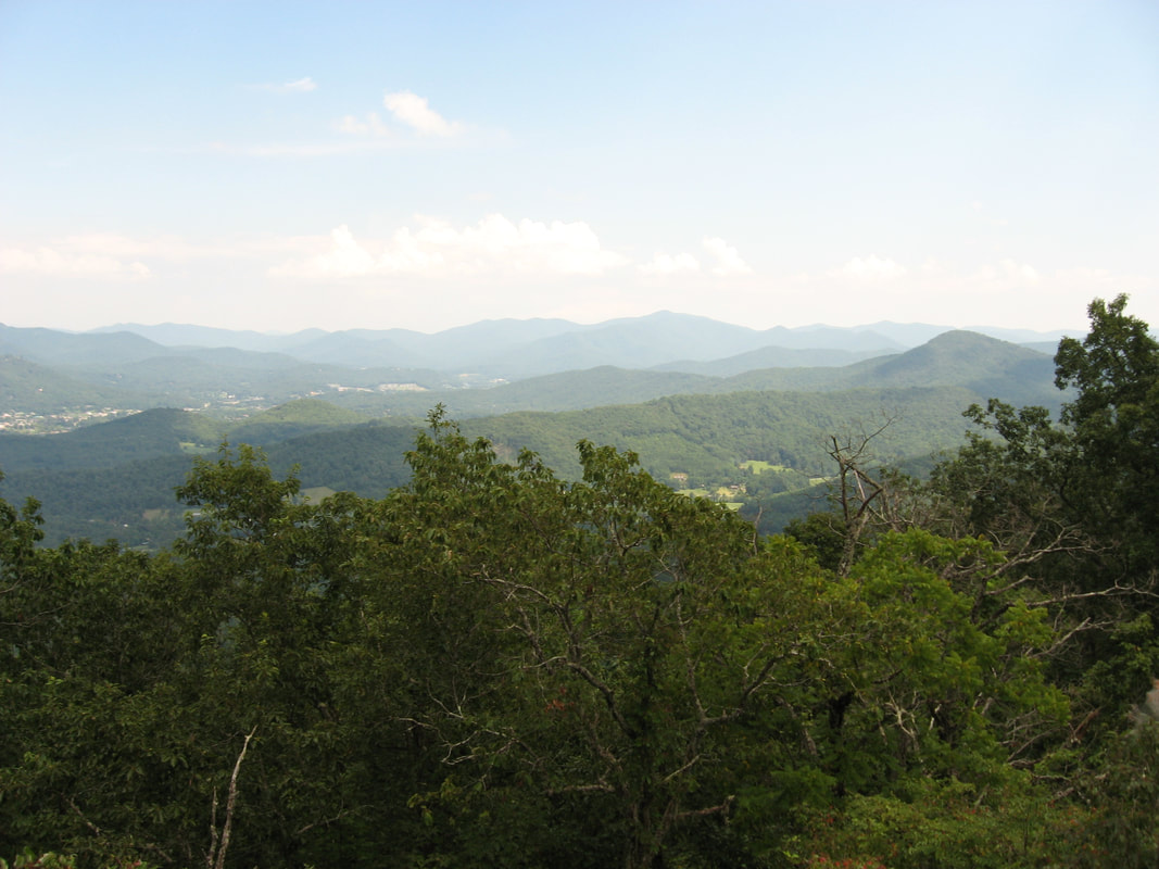
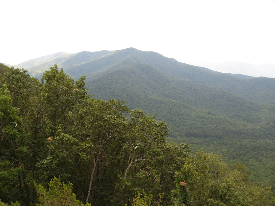
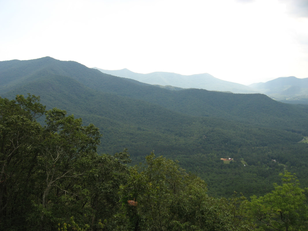
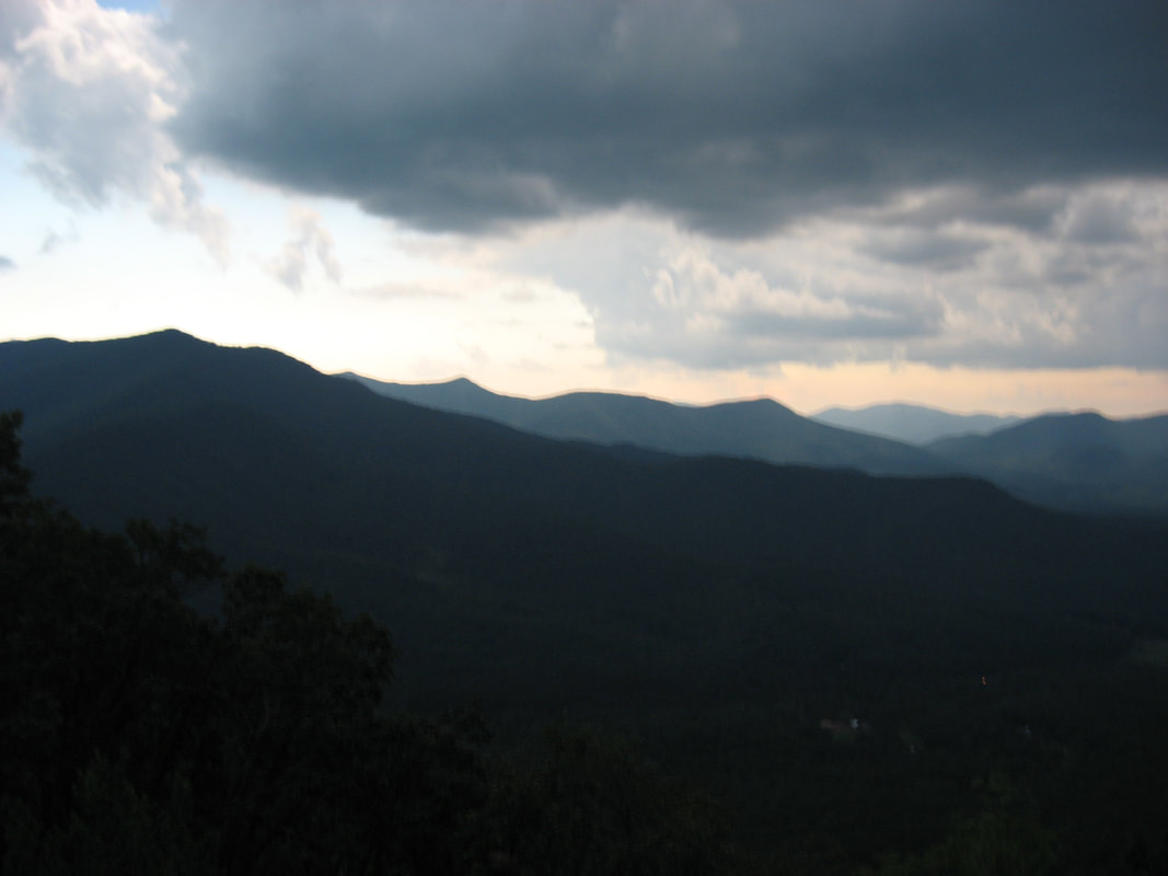
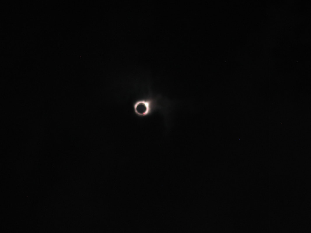
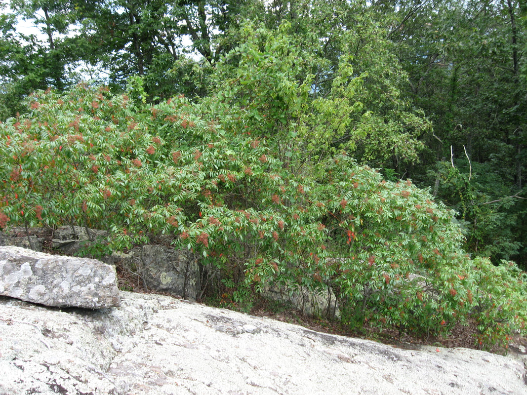
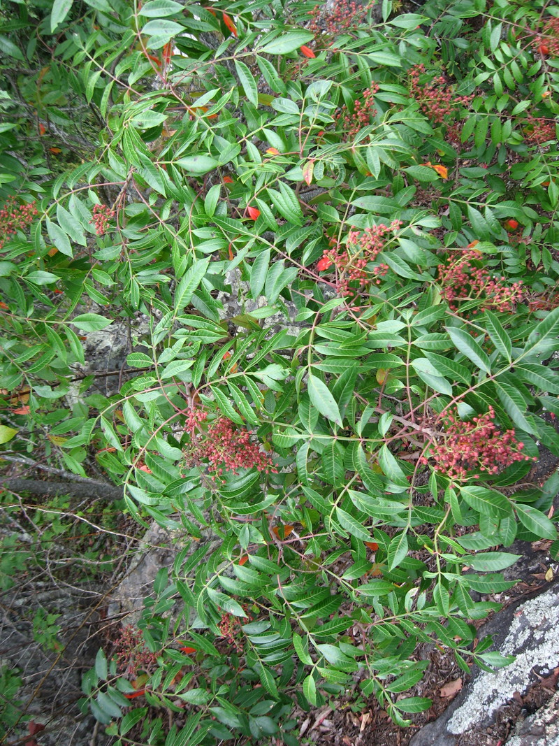
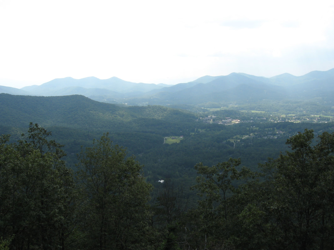
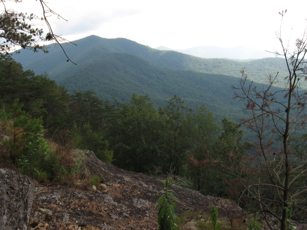
Rocky Knob Bluff provides a panoramic 270-degree view with two distinct parts. From the upper part of the rock outcrop, there is a scenic view east directly toward Lake Chatuge and Hiawassee. The rocky summit of Bell Knob rises immediately behind Hiawassee, and Eagle Mountain at the western edge of the Southern Nantahala Wilderness stands guard a little farther. The ridge of Chunky Gal Mountain lines the horizon. If you continue a few feet down the bluff - which is quite easy to navigate as there is no sheer drop-off - you will get an entirely different view to the south and west. Directly ahead is the towering mass of Double Knob, with a long ridge extending farther south all the way to the Brasstown Bald, just barely visible with the observation tower at its summit. Overshadowed by Double Knob, Cedar Knob is peeking out from the edge of the treeline. Shifting your gaze southwest and west, a long-range panorama of Brasstown Valley along with numerous other mountains and ridges behind it presents itself. Far below in the valley are the buildings of Young Harris College and the town of Young Harris itself. As you explore the bluff, beware the large colony of poison sumac on the rocks. This turned out to be an absolutely perfect location to observe the solar eclipse and watch day turn to night and back to day again, as I had the bluff all to myself and the view of the sun was clear except when scattered clouds began to drift in. Despite increasing cloudiness, I still saw the diamond ring effect during totality - the whole experience was absolutely incredible!
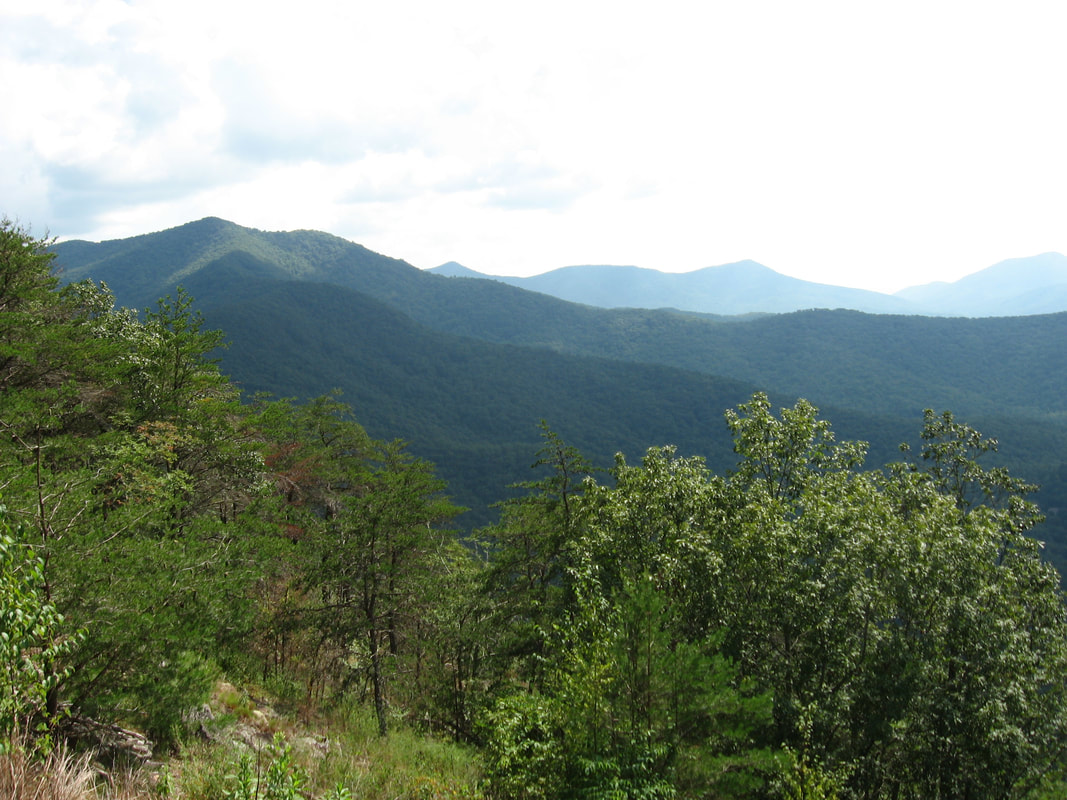
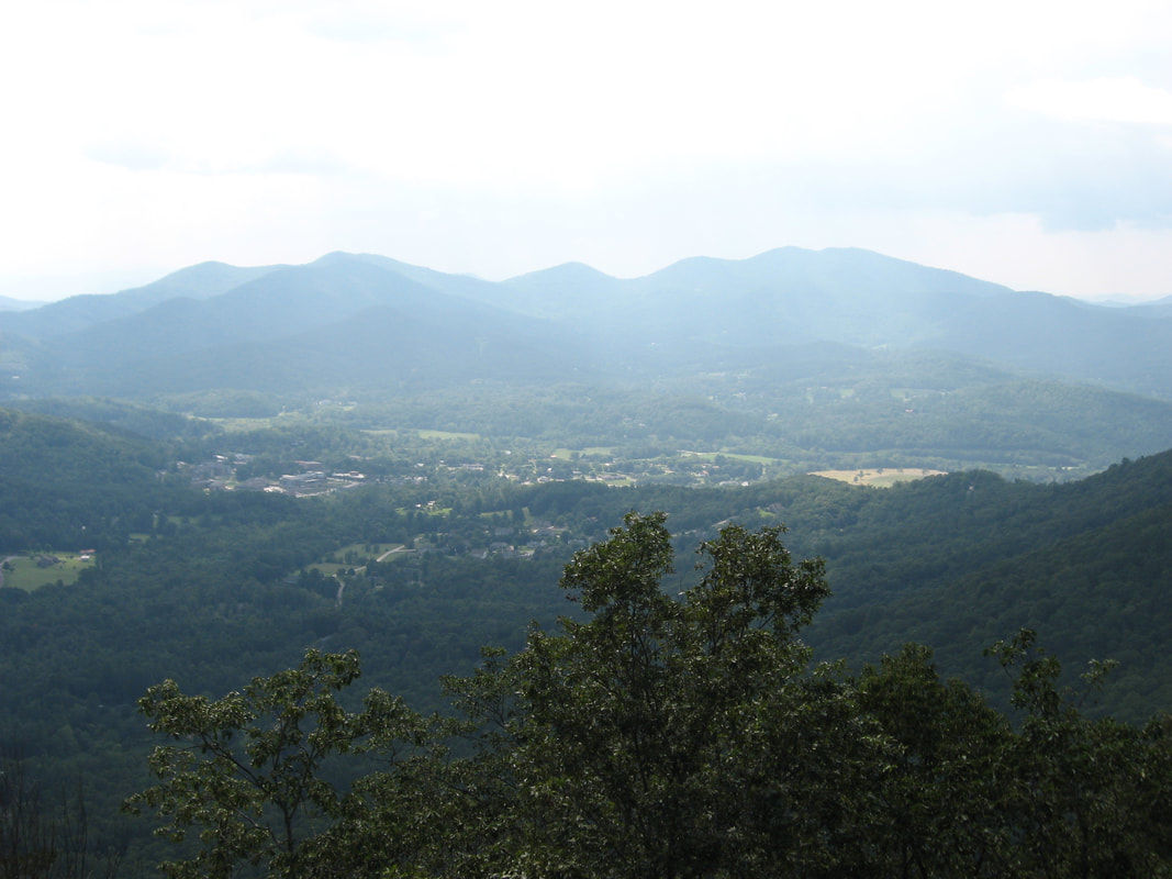
The view from Rocky Knob Bluff is excellent and a real hidden gem. More adventurous hikers can continue to additional breathtaking views from Cedar Knob as I did. Keep in mind that there is no trail past Rocky Knob Bluff, so it may not quite be worth it to some people. Find the best way down the bluff - avoiding the poison sumac - and down the steeply-dropping ridge. Follow the ridge southeast. Initially, there is a semblance of a path in places. At 3.25 miles reach Norton Gap between Rocky Knob and Cedar Knob. There are zero signs of any paths from this point onward, but the vegetation along the ridge is quite open and the bushwhacking is mostly easy. The ascent to Cedar Knob from Norton Gap isn't quite as steep as the descent from Rocky Knob, but it is still pretty sharp. There are a few small rock outcrops to navigate near the summit. You'll reach the summit of Cedar Knob at 3.5 miles. Continue along the ridge past the summit for about 200 feet to a small rock slab surrounded by trees. From this rock slab, you can catch glimpses of cliffs down below to the right (west). There are several ways to descend down to the cliffs fairly easily, but watch out for scattered green briars. There are two rows of cliffs; when you reach the first row, you will see views, but the view from the second cliff is better despite it seeming the opposite. The first cliff isn't sheer, so if you take care, it is possible to scramble down it to the second cliff, which you should reach around 3.6 miles. From the cliff on the west side of Cedar Knob, there is a spectacular panorama that rivals the vista on Rocky Knob Bluff. The Cedar Knob cliffs provide outstanding views of Brasstown Valley and the ring of mountains around it. The view of Brasstown Valley itself is better than from Rocky Knob. However, there are a couple drawbacks to the Cedar Knob view. The cliff isn't completely sheer, so the tall trees at its bottom impede the view slightly and prevent it from being a ten-star view. Also, unlike Rocky Knob Bluff, the Cedar Knob cliffs provide views only to the west without the eastward Lake Chatuge component on Rocky Knob. Thus, I think that the Cedar Knob view is overall slightly worse, but it is still very beautiful. If a trail led to it, it would absolutely be worth it, but even with the lack of one, I still think it was worth the trip for me and at least some other hikers will be able to say the same. 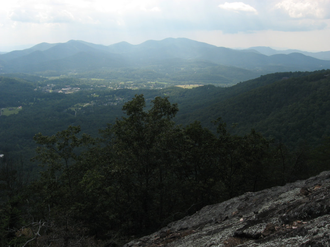
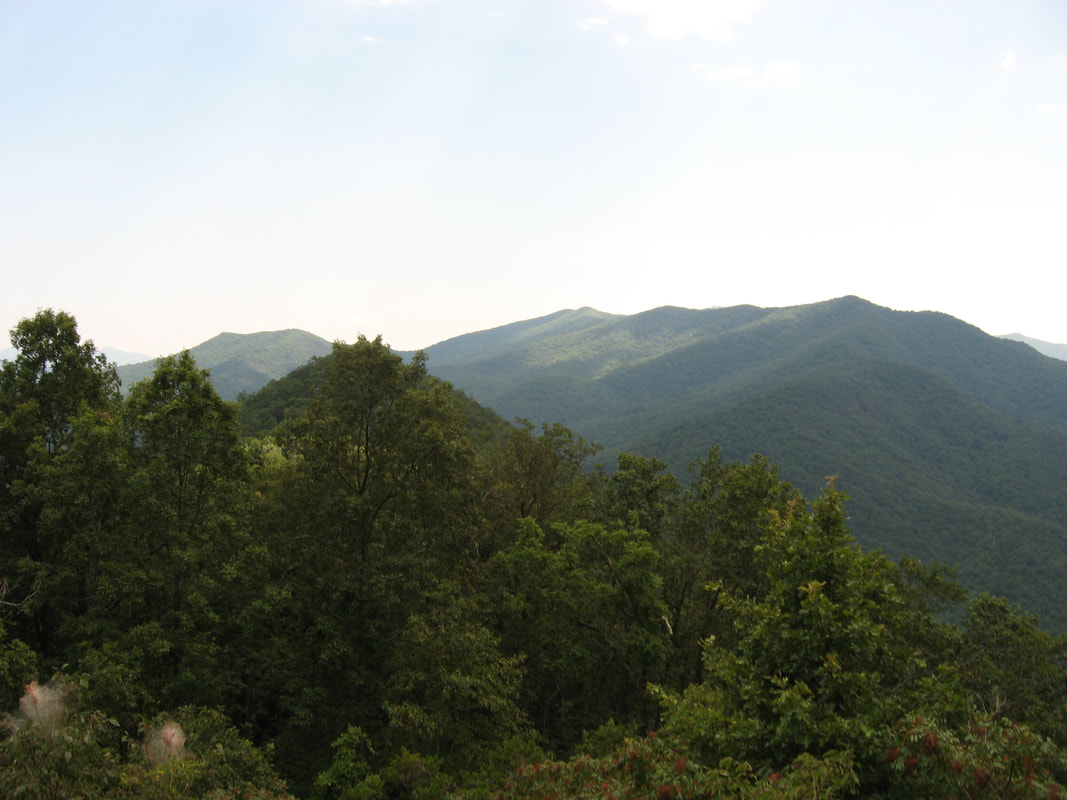
The cliffs of Cedar Knob have outstanding views of Brasstown Valley to the west.
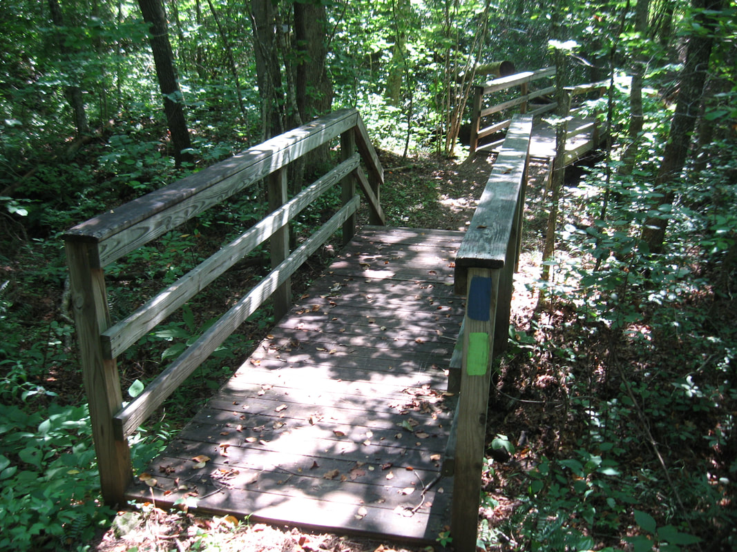
From the Cedar Knob cliffs, retrace your steps back to Rocky Knob Bluff and beyond to reach the Miller Trek Trail again at 4.3 miles. Along the way, I suggest making a brief second stop at Rocky Knob Bluff to soak in the peaceful views one more time. Once you're back on Miller Trek, continue following the loop as it swings around the north summit of Rocky Knob and begins descending west back into the valley. The elevation change along this side of the loop is a bit more gradual with a few extra switchbacks. At 5.3 miles, Miller Trek crosses an unusually long and elaborate footbridge across the headwaters area of Long Bullet Branch. You'll find that this side of the loop has similarly beautiful and remote forest as you encountered on the south side. At 6.05 miles, pass the other end of the Miller Trek shortcut coming in from the left. As the descent gradually becomes easier and easier, you'll cross the powerline cut near the bottom once again and arrive at the Keys Branch Trail at 6.7 miles. Most people turn left here to return to the trailhead the quickest way, but I suggest hiking the outer part of the Keys Branch Loop for a bit of extra mileage. Thus, turn right onto Keys Branch Trail and follow the broad pathway as it drops into Walnut Cove, crossing cascading Keys Branch via a footbridge at 6.8 miles. The blue-blazed trail then descends to a crossing of the main resort road at 6.85 miles.
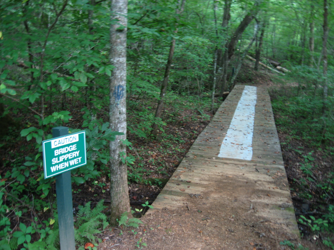
After this, the Keys Branch Trail meanders through bottomland near Keys Branch, passing several interpretive signs. The trail passes near and crosses several horse trails, but the hiking trail remains obvious. At 7.3 miles, the Keys Branch Trail crosses Keys Branch via a footbridge and then crosses a boardwalk across a low-lying area that can get muddy. This is the lowest point on the hike. From here, the trail ascends a small but steep hill and approaches the lodge parking area. Just before the lodge, a connector trail back to Miller Trek leaves left. Stay straight and walk down the lodge parking area and then across a road bridge. Just past the bridge, the blue-blazed trail leaves to the right at a sign. The trail briefly follows the stream before crossing the road again and reaching the end of the loop at the junction with the Miller Trek Trail near the beginning of the hike at 7.85 miles. Turn right and follow the access trail down to the arch and employee parking area, and continue retracing your steps to the trailhead. You will return to your car at 8.1 miles, concluding the hike. Mileage
0.0 - Miller Trek Parking
0.25 - Keys Branch Trail Junction (Begin Loop and Stay Right) 0.7 - Keys Branch Connector Junction South (Stay Right) 1.15 - Miller Trek Shortcut Junction South 2.9 - Rocky Knob Bluff Side Trail 3.1 - Rocky Knob Bluff Vista 3.6 - Cedar Knob Cliff Vista 4.3 - Miller Trek Trail 6.05 - Miller Trek Shortcut Junction North 6.7 - Keys Branch Connector Junction North (Turn Right) 7.85 - Miller Trek Trail Junction (End Loop) 8.1 - Miller Trek Parking Variations
Skip the extension to Cedar Knob Cliffs - 7.1 Miles
Bonus Stops
After the main hike, consider checking out the small Cupid Falls in Young Harris. It is very easy to reach with only a short walk from the road.
PicturesVideos
1 Comment
Lisa M
8/8/2019 05:41:37 pm
That was an amazing review! My husband and I just did this hike after reading your review. Best hike ever! For me anyway. Not a soul on the trail except the five deer we saw along various parts of the trail along with several pheasants and turtles! Leave a Reply. |
About MeMark Oleg Ozboyd Dear readers: I have invested a tremendous amount of time and effort in this website and the Georgia Waterfalls Database the past five years. All of the work that has gone in keeping these websites updated with my latest trip reports has almost been like a full-time job. This has not allowed me to pick up a paid job to save up money for college, and therefore, I I've had to take out loans. If you find the information on this website interesting, helpful, or time-saving, you can say "thanks" and help me out by clicking the button above and making a contribution. I will be very grateful for any amount of support you give, as all of it will apply toward my college tuition. Thank you!

Coming in 2022-2023?
Other Hiking WebsitesMiles HikedYear 1: 540.0 Miles
Year 2: 552.3 Miles Year 3: 518.4 Miles Year 4: 482.4 Miles Year 5: 259.9 Miles Archives
March 2021
Categories
All
|
||


 RSS Feed