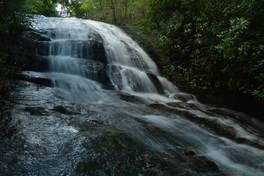
Mill Creek Falls is the name used collectively for a pair of waterfalls in the highest reaches of Swallow Creek Wildlife Management Area. Oddly, only one of the waterfalls is on Mill Creek itself, and the more picturesque of the two is on a tributary known as Ground Hog Branch. Visited together, these two waterfalls in the Mill Creek headwaters area make for a fairly easy and beautiful afternoon outing. A trail leads to both falls, although it is steep and slippery in places. This hike occurred on Saturday, June 24th, 2017. My plan was to hike out and back from Mill Creek Road to the upper and lower waterfall at Mill Creek Falls, with the former being on Ground Hog Branch and the latter being on Mill Creek itself just below its confluence with Groundhog Branch..
Summary
Note: Forest Service Road 26-2 (Mill Creek Road), which is used to access the trailhead, is a seasonally-gated road. The road is closed to all vehicles from January 2nd until March 1st.
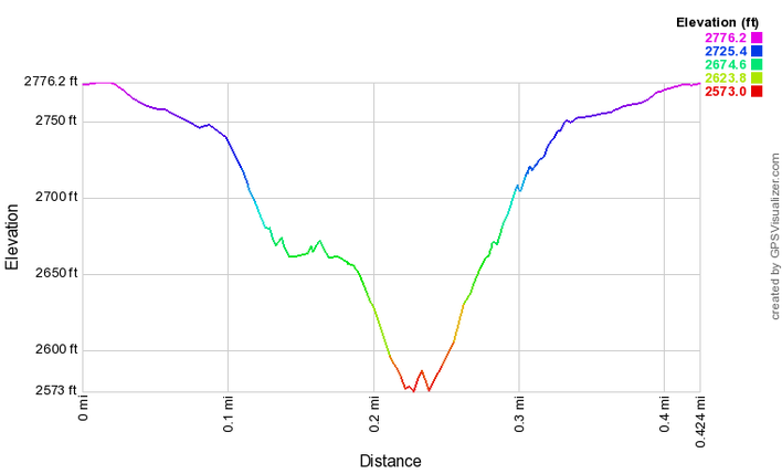
R/T Length of Trail: 0.4 Miles
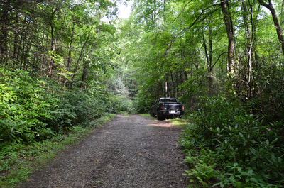
Duration of Hike: 1:20 Type of Hike: Out and Back Difficulty Rating: 3 out of 10 Total Elevation Gain: 200 Feet Pros: Relative ease of access to waterfalls in a pristine setting Cons: The trail to both falls is very steep Points of Interest: (Upper) Mill Creek Falls (on Ground Hog Branch) - 6 stars; (Lower) Mill Creek Falls (on Mill Creek) - 3 stars Trail Blaze Colors: None, not an official trail Best Seasons to Hike: Winter; Spring Fees: None Beginning Point: Crossing of Ground Hog Branch on Mill Creek Road Directions from Hiawassee, GA: From the intersection of Main Street (US 76/GA 17/75) and Bell Street in downtown Hiawassee, follow Main Street South (US 76 East/GA 17/15 South) for 2.7 miles. Then, turn right onto GA 17/75 South and continue for 3.5 miles before turning left onto Mill Creek Road. Follow Mill Creek Road for 0.7 miles to a Y-split that is easy to miss. Paved Mill Creek Road continues past a chain-link gate, but you have to bear left onto the unpaved FS Road 26-2 (also Mill Creek Road). Continue following this road as it gradually ascends up the Mill Creek valley before crossing Ground Hog Branch (which flows through a culvert) in 2.8 miles just after a campsite on the right. There are small pullouts around the culvert with space for several cars; I parked in the pullout on the right immediately after the culvert. Map
Click here to download a track of this hike.
Details
The names for the pair of major waterfalls in the Mill Creek headwaters area are confusing. As best as I can tell, both waterfalls on this hike are simply known by the one name Mill Creek Falls, misleading people who are then led to believe there is only waterfall at this site. Further adding to the confusion is that the first and more beautiful waterfall is not on Mill Creek but on a tributary that appears to be known as Ground Hog Branch and is unnamed on some maps. Ground Hog Branch joins Mill Creek at the top of the second waterfall. I don't want to add to the confusion, so I am going to refer to the waterfalls as Upper and Lower Mill Creek Falls. Note: If you hear about a Mill Creek Falls in Swallow Creek WMA and/or near Hiawassee without the word 'upper' in the name, then the upper falls is most likely to be that waterfall.
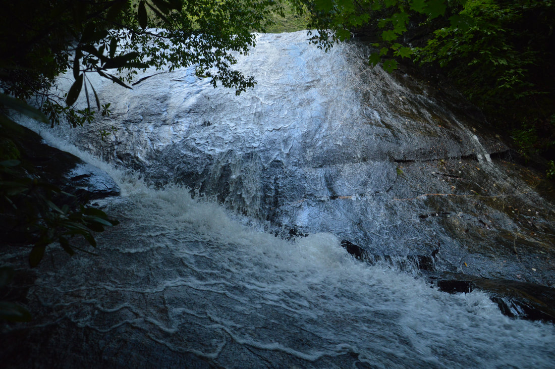
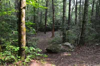
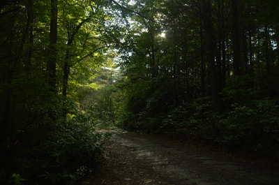
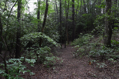
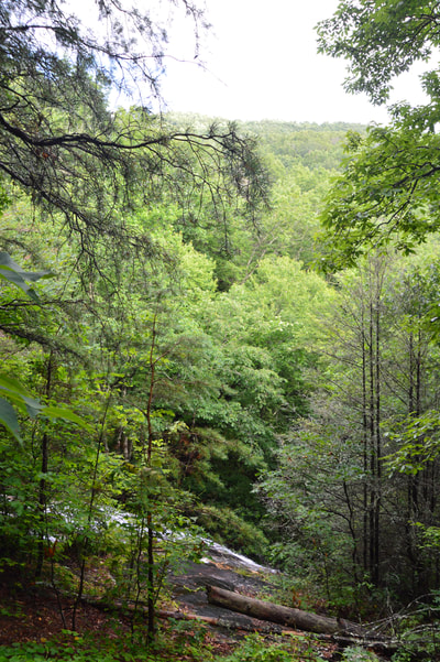
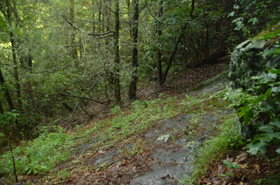
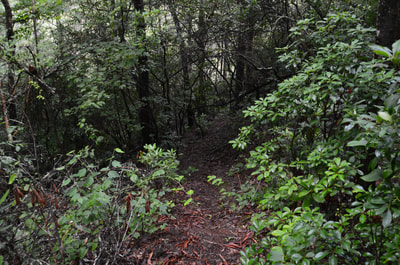
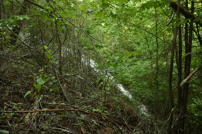
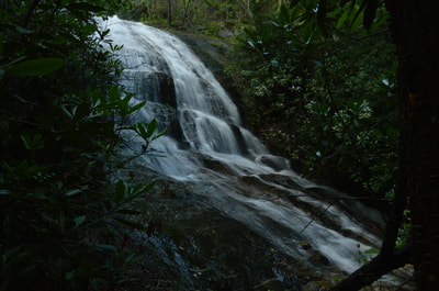
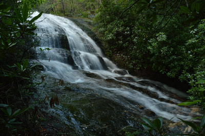
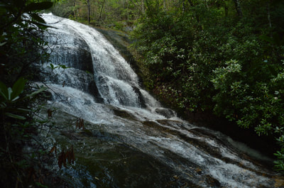
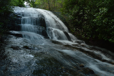
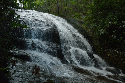
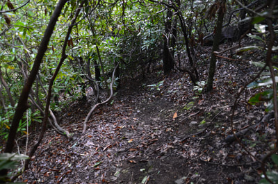
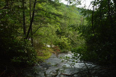
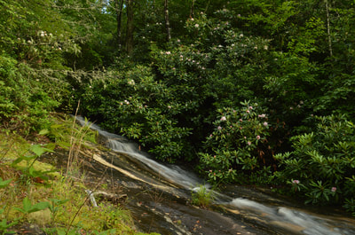
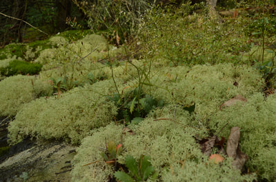
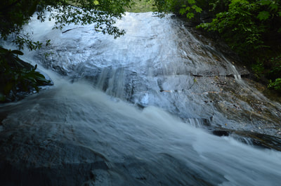
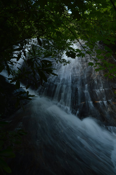
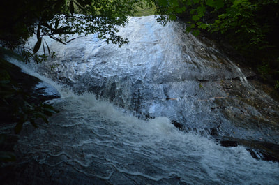
Begin the hike by heading down to the large campsite just below Mill Creek Road and on the west side of Ground Hog Branch. On the far end of the campsite is an obvious broad path - this is the trail. The path starts out nearly flat as it closely follows rhododendron-lined Groundhog Branch. Around 0.1 miles, the path reaches the rim of the gorge and the top of Upper Mill Creek Falls. At this place, the path bears right and crosses a sloping rock slab below a small cliff. Be very careful here and stay away from the creek and falls. After looking around a bit, you should spot the path as it continues past the rock slab and steeply down the hill. There are several slippery spots here that may be treacherous after rain. Around 0.15 miles, reach an intersection with a side path to the left. Turn left onto this side path, as it leads to the base of Upper Mill Creek Falls that is visible ahead while the main path continues to Lower Mill Creek Falls. Reach the base of Upper Mill Creek Falls in 100 feet. Due to the slant of the steeply-sliding waterfall, you can only see the lower 40 feet of the full 70-foot Upper Mill Creek Falls from the base. What you can see is very nice though - how the creek fans out and slides down the nearly vertical rock face is picturesque. Photographing Upper Mill Creek Falls isn't easy because the best viewing area at the base is too close to the waterfall. From Upper Mill Creek Falls, return to the main path and continue following it steeply down. In another 100 feet, the trail comes out at a viewpoint just above the confluence of Ground Hog Branch and Mill Creek. This is a unique scene, as the equal-sized streams both form thin white streaks of water as they slide down gently about 20 feet, coming together at the top of Lower Mill Creek Falls before making the much steeper plunge. Do not venture out into the creek above the confluence. I repeat, stay on the trail and do not try to get a closer look at the confluence, because one slip will send you over a hundred feet down the falls. In addition to that, there are also sensitive plants and moss on the open dry rock slabs at the confluence.
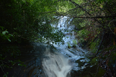
The trail narrows greatly and continues a steep descent alongside what is now Mill Creek. The trail passes a few feet from the base of Lower Mill Creek Falls, but there is nearly nothing that you can see from this point due to thick vegetation. Stepping out into the creek here is very dangerous as the rocks are slippery and there is more falling water below. Continue for a few more feet to a place where the trail appears to end at Mill Creek around 0.2 miles. Unless you are extremely careful, you have no business going any further. With the necessary caution, it is possible to tiptoe down the rock and walk into the narrow creek for a poor view of Lower Mill Creek Falls upstream. The overall setting is beautiful, but the waterfall is mostly hidden by rhododendron and tree branches. Even in winter, the view isn't likely to be great. When considering the surroundings and the beautiful chute of water running along the striated rocks right in front of you, though, the trip to this spot is still worth it. You can forget it in high water though, because there is more falling water downstream and it would simply be too dangerous to get to this view.
The total height of Lower Mill Creek Falls appears to be over 100 feet, but that would include the 20-foot slide above the main drop and the 20-foot cascade below the end of the trail. The height of the primary drop is between 45 and 60 feet, depending on how much of the run-out is counted. The main tier of the falls consists of a very steep slide that is followed by a long narrow chute. Ground Hog Branch and Mill Creek are both small streams at this point, so both waterfalls will be looking best after periods of heavy rainfall, especially in winter and spring. From Lower Mill Creek Falls, simply return along the same way to the road and parking area. The climb back up is quite steep so you will want to take your time. You'll reach your car at 0.4 miles, concluding this short but rewarding hike. Mileage
0.0 - Mill Creek Road
0.15 - Upper Mill Creek Falls 0.2 - Lower Mill Creek Falls 0.4 - Mill Creek Road Variations
Hike out and back just to Upper Mill Creek Falls - 0.3 Miles
PicturesVideos
1 Comment
Randy
2/26/2020 11:13:54 am
When you stated the trail is easy, I think that may be incorrect. I just hiked this area last weekend for the first time and consider myself fairly experienced. This is one of the steepest and toughest trails I've ever done anywhere and I don't think that can be overstated. I also think this is the most dangerous trail I've ever attempted. I appreciate the way you encourage folks to stay away from the ledge at the pool of the upper falls. I met up with a guy who says he is a retired game warden and he talks about the trail as "on all fours." I definitely was trying to get up out of there. I think you did a great job of reviewing the falls but I don't think you can stress enough how dangerous these lower falls are. There is always some dummy not from around here that will underestimate it. And, one wrong move on that trail can cost your life! Be well.
Reply
Leave a Reply. |
About MeMark Oleg Ozboyd Dear readers: I have invested a tremendous amount of time and effort in this website and the Georgia Waterfalls Database the past five years. All of the work that has gone in keeping these websites updated with my latest trip reports has almost been like a full-time job. This has not allowed me to pick up a paid job to save up money for college, and therefore, I I've had to take out loans. If you find the information on this website interesting, helpful, or time-saving, you can say "thanks" and help me out by clicking the button above and making a contribution. I will be very grateful for any amount of support you give, as all of it will apply toward my college tuition. Thank you!
Coming in 2022-2023?
Other Hiking WebsitesMiles HikedYear 1: 540.0 Miles
Year 2: 552.3 Miles Year 3: 518.4 Miles Year 4: 482.4 Miles Year 5: 259.9 Miles Archives
March 2021
Categories
All
|

 RSS Feed