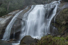
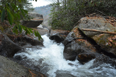
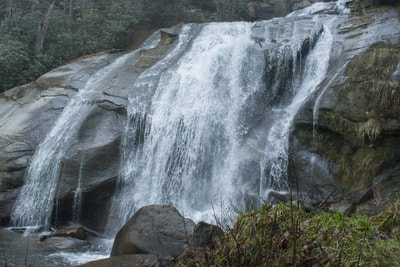
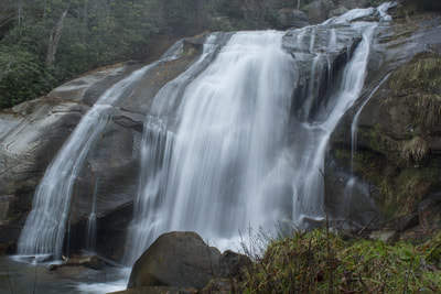
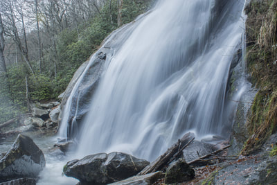
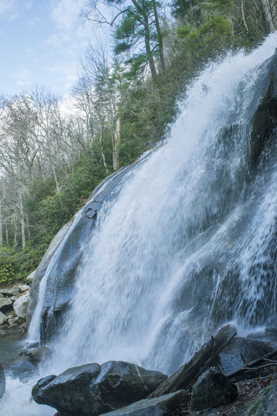
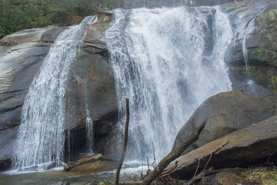
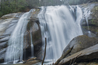
Highway 106 crosses Middle Creek just over a mile north of the Georgia State Line on its way to Highlands, but few people would guess that one of the area's most amazing waterfalls lies a half-mile downstream. First, Middle Creek goes over the 40-foot Upper Middle Creek Falls for a warm-up before plunging into a steep gorge as it drops off the escarpment. That's where Middle Creek Falls lies - a jaw-dropping high-volume waterfall that crashes 75 feet down a steeply slanted rock face with more falling water above and below. During wet periods, you're going to get drenched by the waterfall's spray without even getting close! Whereas the upper falls is very easy to reach, a confusing and faint path must be successfully navigated to reach Middle Creek Falls. This hike occurred on Saturday, November 18th, 2017. My plan was to hike out and back to Upper Middle Creek Falls and Middle Creek Falls.
Summary
R/T Length of Trail: 1.1 Miles
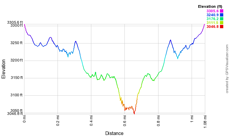
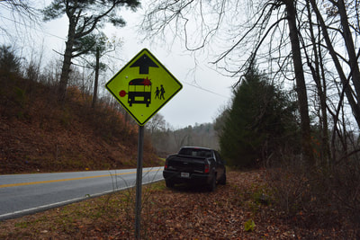
Duration of Hike: 1:45 plus over 1 hour of stopping and photography Type of Hike: Out and Back Difficulty Rating: 7 out of 10 Total Elevation Gain: 391 Feet Pros: Spectacular water features; Upper Middle Creek Falls is very easy to reach despite being little-known Cons: Very confusing and faint trail to the base of Middle Creek Falls Points of Interest: Upper Middle Creek Falls - 5 stars; Middle Creek Falls - 10 stars Trail Blaze Colors: None, not an official trail Best Seasons to Hike: Winter Fees: None Beginning Point: NC 106 Directions from Highlands, NC: From the intersection of NC 106 (Dillard Road) and US 64/NC 28 (Main Street) just west of downtown Highlands, follow NC 106 South for 9.3 miles. Exactly 1 mile before you reach the Georgia state line, and about 0.3 miles after NC 106 crosses Middle Creek, a yellow School Bus Stop sign will be on the right. Park on the right side of the road right at the sign - there is space for only one to two cars. If you miss the sign, you will see a farm-like enclosure on the right 0.1 miles farther, as well as Lazy A Road leaving to the right. Map
Click the link below to download a .GPX file with a track of this hike.
Details
It's amazing how many people speed down NC 106 across Middle Creek, completely unaware that one of the state's most awesome waterfalls is so close. Part of the waterfall's seclusion despite being so close to the road comes from there being very little parking space and not much of a trail to it. Still, this is a place that all experienced waterfallers should put on their list.
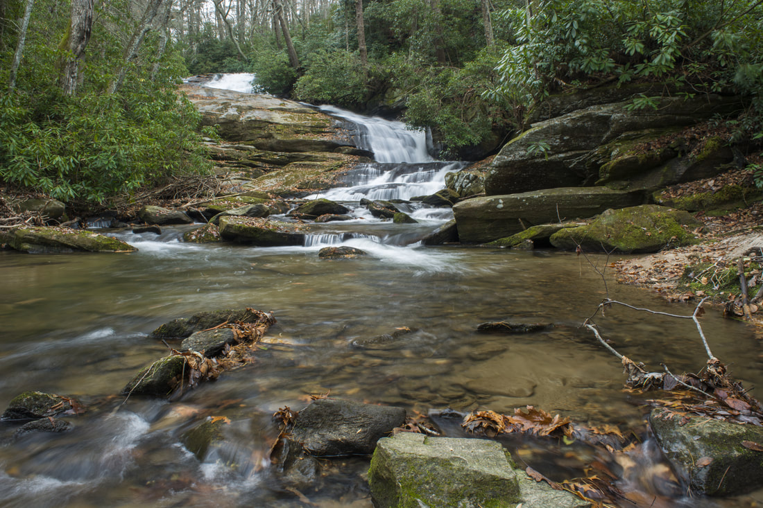
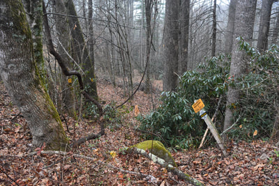
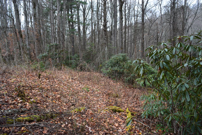
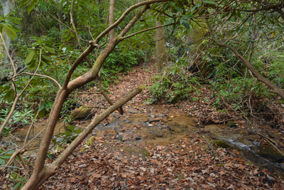
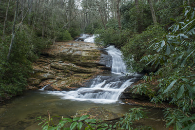
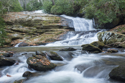
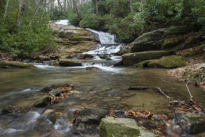
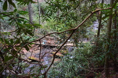
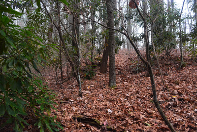
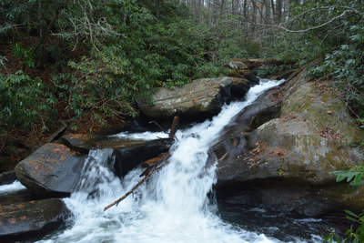
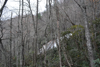
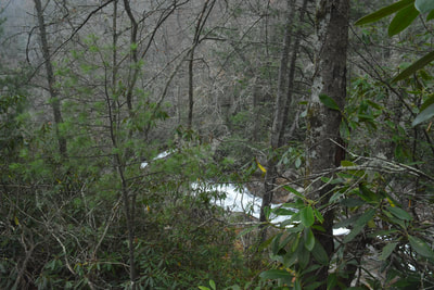
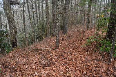
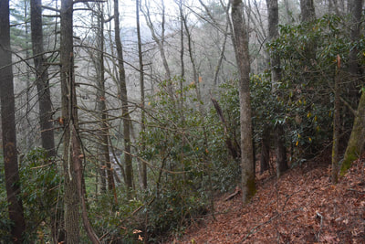
The trail to Upper Middle Creek Falls and Middle Creek Falls begins right at the school bus stop sign on NC 106 mentioned in the driving directions above. Looking down (northward) from the road, you should see a National Forest Property Boundary sign. The path begins right at the sign and closely follows the property boundary downhill, passing across a powerline cut 100 feet from the road. As the trail comes alongside a fence about 250 feet from the road, there is a split where the well-defined trail to Upper Middle Creek Falls turns right - go there first. At the time of my hike, the split was marked by blue flagging tape, but you should be able to find it either way. The side trail goes down a series of steps and reaches Middle Creek after crossing a small side stream about 100 feet from the split. Follow the trail along the creek for a short distance, scrambling up a small rise at the end to the view of Upper Middle Creek Falls at 0.1 miles from the parking area and 250 feet from the split. While Upper Middle Creek Falls does not compare favorably to its jaw-dropping downstream neighbor, it still is a beautiful worthwhile waterfall and is much easier to get to. Upper Middle Creek Falls consists of a series of steep slides, the visible portion of which is around 40 feet high. A dry rock outcrop punctuates the lower part of the falls. During times of low water, some of the waterfall will be enshrouded in rhododendron. The vantage point that the trail leads to is around 15 feet above the creek and provides more of a birds-eye vantage point for the falls, although there is a great view from creek-level as well. From Upper Middle Creek Falls, return to the split and turn right to keep following the main path to Middle Creek Falls. Up to this point, the hike has been a walk in the park. But the rest of it will be much tougher and quite confusing. Immediately after the split, the path begins climbing a hill. 150 feet from the split, as a winter view of Upper Middle Creek Falls appears to the right, the distinct path bears left and enters private property, headed toward a house on the hilltop. Do not go that way - instead, stay right on a very faint track and contour along the hillside below the house and above the creek. The private property boundary is marked with some signs and red paint, so that should prevent you from crossing it later. If you can't see the path along the slope, that's fine - as it's barely there. If the blue flagging tape is still there when you do the hike, it will be helpful in finding the way. After a short steep initial drop, the path stays nearly level for a while with great views of Middle Creek. Around 650 feet from the Upper Middle Creek Falls split (just under 0.3 miles from the start of the hike), the woods open up ahead as the faint path gradually rises to the crest of the low ridge to the left, having now bypassed the private land. At 0.3 miles, reach a junction where an obvious trail heads left toward the houses. Turn right to hike to Middle Creek Falls.
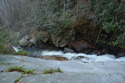
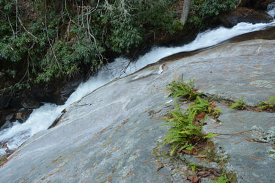
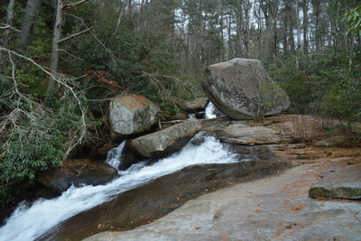
The path - which for the time being is easier to follow than the previous contouring track - briefly follows the ridge before dropping moderately down to Middle Creek. At about 0.4 miles, the path reaches a junction with the path to the area at the top of Middle Creek Falls. This is where things get utterly confusing. The 'main' path to the base of the falls bears left, while the route to the top bears right. I highly recommend the 200-foot side trip to the top of the falls, as it leads to a huge rock slab with a commanding view of Middle Creek as it begins a steep plunge into the gorge. There is also a giant boulder near the top that is worth seeing.
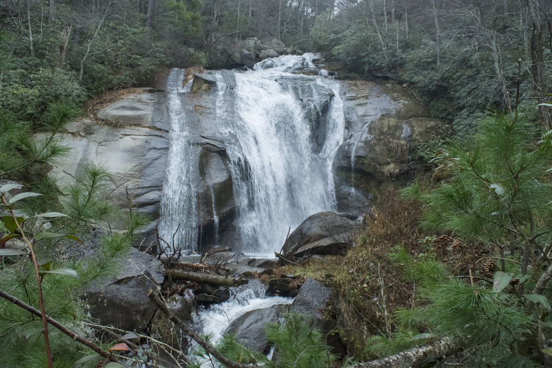
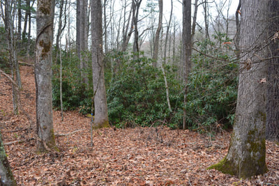
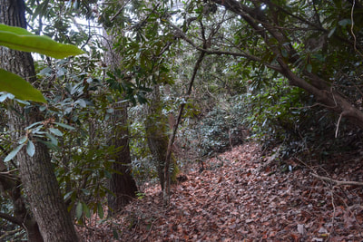
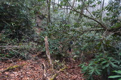
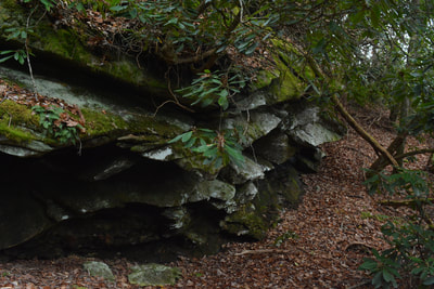
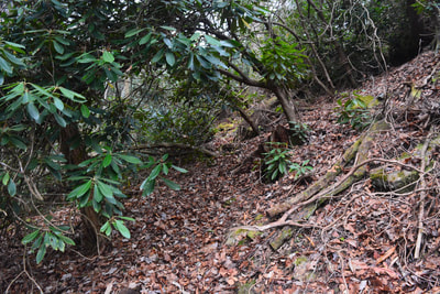
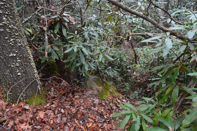
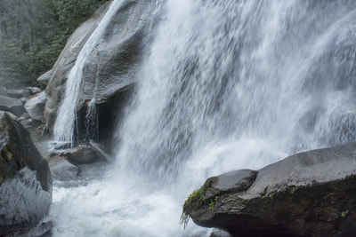
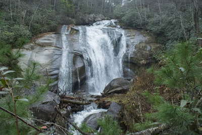
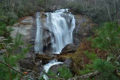
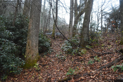
Back to the main trail: it is not easy to describe the best route from the top to the base of Middle Creek Falls. While there is a makeshift path most of the way, there are numerous obstacles as well as several other paths weaving around, forming what felt like an actual maze! In general, you should follow the path that swings the farthest away from the creek. At the time of my hike, there was a huge blowdown not far from the split with the path to the top of the falls. The path will pass along the base of two large rock outcrops. You will have to find a very obscure and narrow opening in the woods after the second rock outcrop to stay on the best path. There is occasional flagging tape along the path and you will find it helpful in a few spots if it is still there. Eventually, as the path draws closer to the base of Middle Creek Falls, you will have to make a right turn or two if you're following the correct track. Regardless, expect the trip from the top to the base to take at least 30 minutes if it's your first time, and do not attempt it without some experience in off-trail navigation and bushwhacking. You should reach Middle Creek Falls at about 0.65 miles (including the side trips to the top and to the upper falls). The path comes out at the open area at the base of the main drop of Middle Creek Falls. Although the creek continues falling for a while, this is by far the most impressive and scenic part of the waterfall. The main drop of Middle Creek Falls is a simply astounding sight. I'd say the primary nearly-vertical drop is around 75 feet high, although there is at least 30 feet of falling water immediately above it. During times of high flow in the winter, the spray from the falls is so powerful that you'll get drenched standing 50 feet away. Even in the lower water of summer, the waterfall is still likely to be impressive. It's amazing how wild and remote the setting of Middle Creek Falls feels despite being so close to a major road. It is worth going to the very base of the main drop just for the sheer thrill and fun of it, but you won't get a better view there. Just be extremely cautious scrambling around the base of the falls as the rocks are all drenched in spray and are very slippery. There is another view of Middle Creek Falls that is at least as good as the one from the open area. Just before the falls fully comes into view from the path, a fainter path bears left, passes behind a boulder, and comes out at a small elevated clearing. This clearing has a more distant view of the falls with more of the falling water above in view. Through the trees, you can also see the continuation of Middle Creek's steeply cascading run. Just for your information, there is one more significant waterfall downstream from Middle Creek Falls on public land: Dome Falls. However, my understanding is that the bushwhack to Dome Falls is extremely difficult and steep and the waterfall itself sounds like a letdown after Middle Creek Falls. In other words, it simply doesn't sound worth it, although some hard-core waterfallers might enjoy the extended trek.
For most people, the best thing to do is simply retrace your steps from Middle Creek Falls. If you've memorized your route well enough, the return trip to NC 106 will be much faster (even though it's all uphill)! You will return to your car at about 1.1 miles, concluding this spectacular waterfall hike.
Mileage
0.0 - NC 106
0.1 - Upper Middle Creek Falls 0.45 - Top of Middle Creek Falls 0.65 - Base of Middle Creek Falls 1.1 - NC 106 Variations
Hike out and back to Upper Middle Creek Falls (recommended for hikers of all levels) - 0.2 Miles
Bonus Stops
The Highlands area is home to dozens of waterfalls. Glen Falls is just down the road from Middle Creek Falls and could be a good candidate for someone looking to extend the day. Also, Mud Creek Falls just across the state line in Georgia is a great roadside stop.
Pictures & Videos
3 Comments
8/6/2018 04:04:35 pm
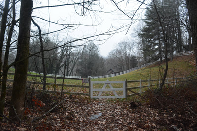
This is awesome! Your picture of the white gate is our property. We border the trail leading to the falls. You have put together a very nice page about the creek and falls!
Reply
George Powell
8/6/2018 09:16:29 pm
My property adjoins Middle Creek and the Falls. Your write up is excellent. I would warn visitors to be very careful of moss covered granite slopes that could come free and lead to fatal falls at the viewing area. This hike is not for beginners.
Reply
Christy
3/7/2019 09:13:13 pm
We did this last week and it was awesome. Stopped at Middle and did not try for Dome. Thanks for helping us get there. You were not joking about the last part being a maze. Luckily there were red tags to help show the easiest route. We pass there all the time and seriously had no clue until you and Adams helped us figure it out. Thank you!
Reply
Leave a Reply. |
About MeMark Oleg Ozboyd Dear readers: I have invested a tremendous amount of time and effort in this website and the Georgia Waterfalls Database the past five years. All of the work that has gone in keeping these websites updated with my latest trip reports has almost been like a full-time job. This has not allowed me to pick up a paid job to save up money for college, and therefore, I I've had to take out loans. If you find the information on this website interesting, helpful, or time-saving, you can say "thanks" and help me out by clicking the button above and making a contribution. I will be very grateful for any amount of support you give, as all of it will apply toward my college tuition. Thank you!
Coming in 2022-2023?
Other Hiking WebsitesMiles HikedYear 1: 540.0 Miles
Year 2: 552.3 Miles Year 3: 518.4 Miles Year 4: 482.4 Miles Year 5: 259.9 Miles Archives
March 2021
Categories
All
|
||||||

 RSS Feed