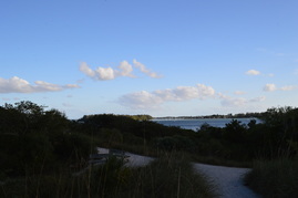
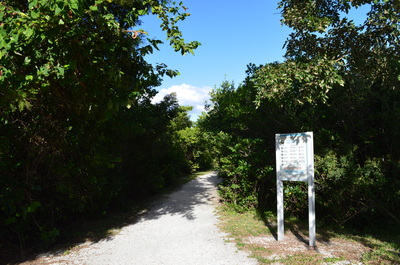
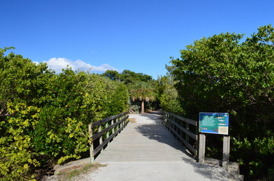
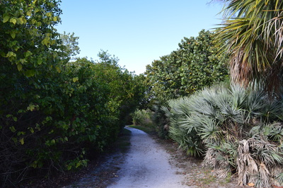
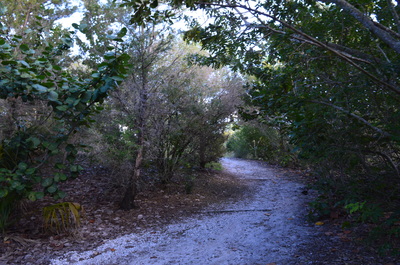
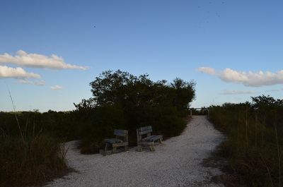
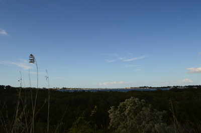
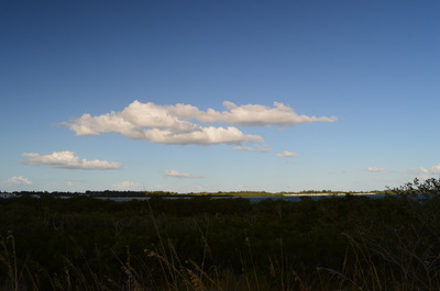
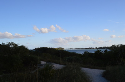
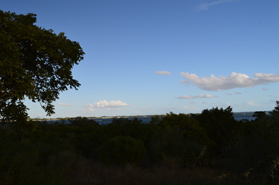
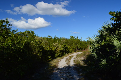
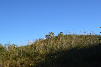
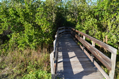
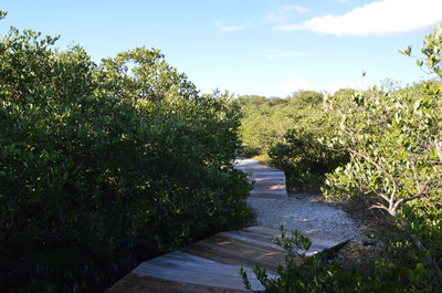
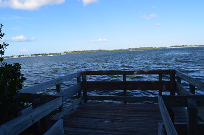
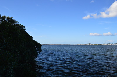
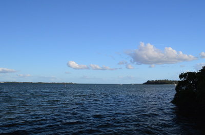
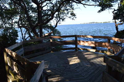
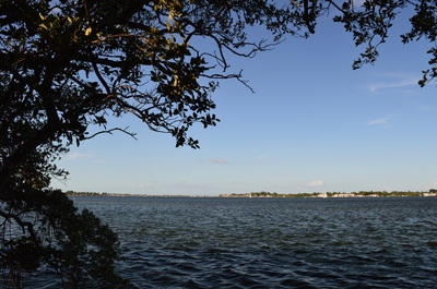
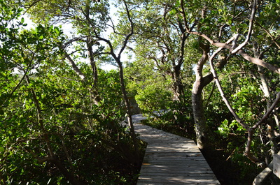
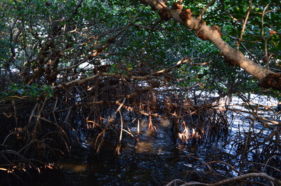
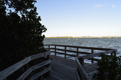
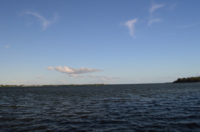
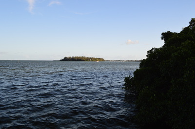
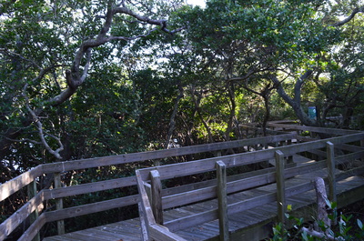
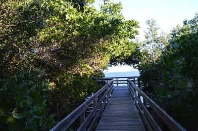
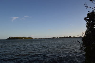
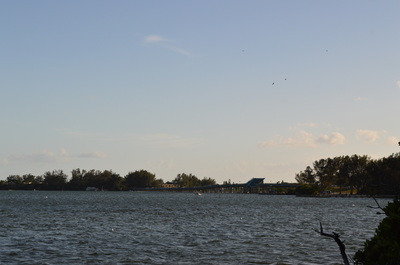
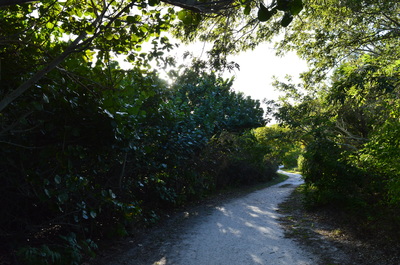
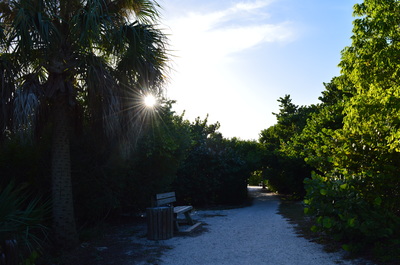
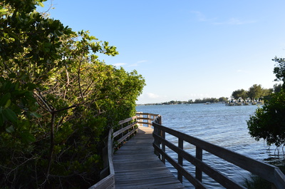
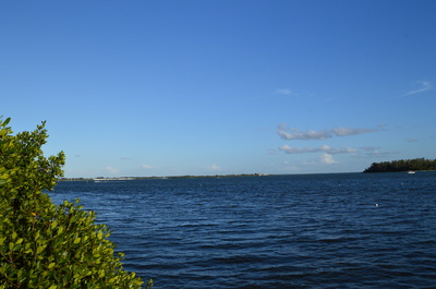
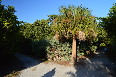
 At the southern tip of Anna Maria Island lies the small island known as Leffis Key. This location is one of the few undeveloped areas on Anna Maria Island. Leffis Key has been the center of restoration efforts to restore the area's natural habitats, such as the mangroves and salt marshes. On this hike, you'll see some of the results of the restoration efforts, and you'll walk to a number of vistas of Sarasota Bay. This hike occurred on Friday, November 27th, 2015. My plan was to hike the largest loop in the preserve with a side trip to the top of the hill on Leffis Key. SummaryR/T Length of Trail: 1 Mile Duration of Hike: 0:50 Type of Hike: Loop Difficulty Rating: 1 out of 10 Pros: Many bay views Cons: None Points of Interest: Numerous views of Sarasota Bay; Leffis Key hill Trail Blaze Color(s): None Best Season(s) to Hike: None Beginning Point: Coquina Baywalk Trailhead Directions: This hike is located inside the city limits of Bradenton Beach. The trailhead is across from the entrance to Coquina Beach on Gulf Drive. The trailhead is located 1.3 miles south of the Cortez Road/Gulf Drive intersection near downtown Bradenton Beach, and 0.4 miles north of the drawbridge between Anna Maria Island and Longboat Key. MapA map and some other information regarding this hike can be viewed here. DetailsTime after time, I've become convinced that some of the smaller, little-known preserves of Florida's Suncoast have the best destinations. Hikes such as Weeki-Wachee Preserve, Robinson Preserve, and this one are generally unknown to true Florida hikers, and yet, they often lead to views or sites better than in the well-known locations such as Ocala National Forest. I found myself proved right again after completing this short but interesting loop on one of west-central Florida's barrier islands. If you're driving on FL-789 (Gulf Drive/Gulf of Mexico Drive), it's not obvious that the trail is right there, accessed from the road. There is no large, obvious sign on Gulf Drive that there is a hiking trail here, but if you're paying attention and not driving too fast, you'll spot the "Coquina Baywalk" sign, although you may never realize that the "baywalk" is a hiking trail. I've driven down this road dozens of times and I was never aware of this trail until reading about it on a hiking website. Since it is located so close to where I stayed on this trip to Florida, I decided to check it out, and I wasn't disappointed. The nature trail starts at the long parking area. The trail is a wide shell path. You're still on Anna Maria Island as the trail descends just a bit. At 0.05 miles, you will cross a bridge over a lagoon. While it is not immediately obvious, you're now no longer on Anna Maria Island. This is Leffis Key, a small island that is entirely in this preserve. Leffis Key is actually inside Anna Maria Island. It appears that the lagoon that surrounds Leffis Key is artificial, and it was created as a part of the restoration process on this tip of Anna Maria Island. Just after this bridge, the loop begins, and the trail forks left and right. I chose to follow the loop clockwise. At 0.1 miles, an unmarked side trail goes right. This side trail leads to the hill on Leffis Key (it is pretty much artificial as well). While you'll be able to see the hill via a different spur trail later, I chose to use this one. The hill is about 20 feet higher than the surrounding areas. Follow the side trail up the hill, and at the next intersection, keep left (the wider trail to the right leads to the other side of the main loop). Then, arrive at the top of the hill. There is a bench here, as well as two observation areas - one straight ahead and one to your left. Both observation areas provide good views of Sarasota Bay, portions of Anna Maria Island, and the mainland across the bay. Retrace your steps back to the main trail, reach it at 0.2 miles, and turn right to continue the loop. At 0.25 miles, reach a junction. There is more than one way to walk a loop in this preserve, but if you would like to follow the outermost loop with the best views of Sarasota Bay, turn left onto a boardwalk. This boardwalk crosses a marshy area with mangroves that separates Leffis Key from Anna Maria Island. On the other side of the boardwalk, you're back on Anna Maria Island. Shortly, you will walk out into an open salt marsh area where you can see Leffis Key with its hill behind you. At an interpretive sign about salt marshes, keep right. At 0.35 miles, reach an intersection. There is a boardwalk heading all directions - straight, to the left, and to the right. First, continue straight and shortly reach an observation deck with a view of Sarasota Bay. You can see Cortez Bridge to the left. From here, return to the big intersection that you just left. Turn right now - this is a spur trail to another observation area. Follow the boardwalk through a dense mangrove forest with views of Sarasota Bay. At 0.4 miles, reach the observation deck. While this deck does not extend straight into the bay, it provides a very good view of the head of Sarasota Bay. Cortez Bridge lies straight ahead. From this observation deck, retrace your steps to the intersection. Continue straight across the intersection onto more boardwalk. You're continuing the outer loop. You will pass through more coastal mangroves. At 0.6 miles, reach a spur trail to your left. Take the spur trail and shortly reach another observation platforms with views of Sarasota Bay. From this observation platform, continue on the main trail. At 0.7 miles, another spur trail is reached, again to your left. This one leads to an observation platform of Sarasota Bay as well. However, as you follow the loop, the angle of the views changes, so from this platform, you're seeing some things that are not visible from the other platforms, such as the Longboat Key-Anna Maria Island drawbridge and Jewfish Key. After this observation platform, upon returning to the main trail, you finally exit the boardwalk and reach a T-type intersection. You're back on Leffis Key, and you have now joined the inner loop. Turn left here to continue back towards the trailhead. The shell path bends around the hill, and Sarasota Bay stays out of sight for a while. At 0.75 miles, a spur trail leads right to the top of the hill. You do not need to take it, since you've been at the top already. At 0.8 miles, a spur trail heads left. This spur trail leads to the final observation platform for Sarasota Bay. Turn left onto it, and reach a boardwalk that takes you out onto the waters of the bay to an observation deck that is fully on the bay. This observation deck provides a good panorama. From here, retrace your steps to the main trail, and turn left onto it at 0.9 miles. At 0.95 miles, reach the end of the loop. Continue straight, and return to the trailhead at 1 mile. VariationsThere's not really any sensible variations for this short hike, although you could possibly hike the inner loop instead of the outer loop, or head out and back to the top of the hill without doing a loop. Bonus StopsJust to the south on Longboat Key, Joan M. Durante Park has another short nature trail that can be combined with this one. PicturesVideos
0 Comments
Leave a Reply. |
About MeMark Oleg Ozboyd Dear readers: I have invested a tremendous amount of time and effort in this website and the Georgia Waterfalls Database the past five years. All of the work that has gone in keeping these websites updated with my latest trip reports has almost been like a full-time job. This has not allowed me to pick up a paid job to save up money for college, and therefore, I I've had to take out loans. If you find the information on this website interesting, helpful, or time-saving, you can say "thanks" and help me out by clicking the button above and making a contribution. I will be very grateful for any amount of support you give, as all of it will apply toward my college tuition. Thank you!
Coming in 2022-2023?
Other Hiking WebsitesMiles HikedYear 1: 540.0 Miles
Year 2: 552.3 Miles Year 3: 518.4 Miles Year 4: 482.4 Miles Year 5: 259.9 Miles Archives
March 2021
Categories
All
|

 RSS Feed