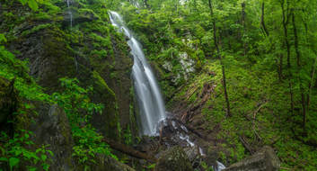
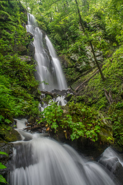
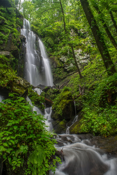
Lee Falls is often cited as one of Upstate South Carolina's top ten most beautiful waterfalls. Over 80 feet high, Lee Falls is an absolutely stunning free-falling drop in a 'tropical paradise' setting, surrounded by lush greenery on all sides. Although the moderate trail to Lee Falls isn't official, it's easily followed for 1.5 miles all the way to the falls. Along the way, you'll pass through several overgrown wildlife clearings and make six creek crossings as you scramble up the Tamassee Creek valley to Lee Falls. The best time of year to visit Lee Falls is during late spring after a good rain, when all the lush green growth around Lee Falls is particularly eye-popping and beautiful. Just be sure to go when the water levels are high. This hike occurred on Saturday, May 19th, 2018. My plan was to hike out and back to Lee Falls.
Summary
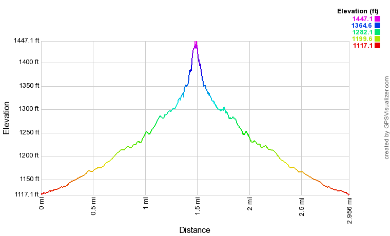
R/T Length of Trail: 3.0 Miles
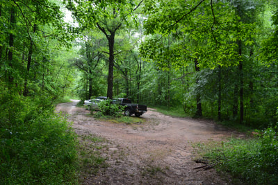
Hike Duration: 1:30 plus nearly 1.5 hours of stopping and photography Type of Hike: Out and Back Difficulty Rating: 5 out of 10 Total Elevation Gain: 345 Feet Pros: Stunning, remote waterfall Cons: Scrambling at the end of the trail may not be suitable for novice hikers Points of Interest: Lee Falls - 10 stars Trail Blaze Colors: None, not an official trail Best Seasons to Hike: Spring Fees: None Beginning Point: FS 715A parking area Directions from Walhalla, SC: From the intersection of SC 28 and SC 11 near Walhalla, follow SC 11 North for 8.6 miles. Then, turn left onto Cheohee Valley Road. In 2.2 miles, turn left onto Tamassee Knob Road. After 0.6 miles, turn right onto Jumping Branch Road. Follow Jumping Branch Road for 1.4 miles, and then, turn left onto FS 715A (unpaved but in great shape). After 0.6 miles on FS 715A, you'll reach a large parking area on the right in front of a gate and wildlife clearing. This is the Lee Falls Trailhead. Map
Click the link below to download a .GPX file with a track of this hike.
Details
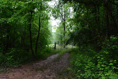
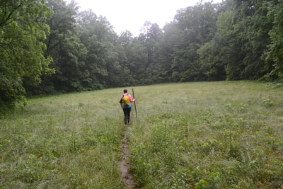
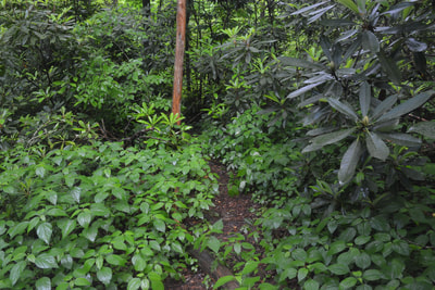
For some inexplainable reason, I often seem to ignore the waterfalls and hiking opportunities in South Carolina in favor of North Carolina or Tennessee. The reality is that South Carolina features many incredibly beautiful natural sights itself too. After record-setting rainfall in mid-May 2018, I decided it was finally time to visit several normally low-flow SC waterfalls that would look spectacular in these conditions. Lee Falls was the first hike of the day. The trail to Lee Falls begins along the old road into the grassy wildlife clearing behind the iron gate. This is the first of four such wildlife clearings - be prepared for waist-deep grass in the warm season. The clearings were pretty soggy on this day, especially the first one. I've also seen people say they've gotten lots of ticks from them, but I personally didn't get any.
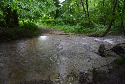
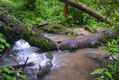
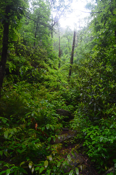
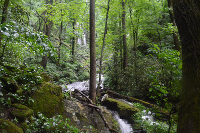
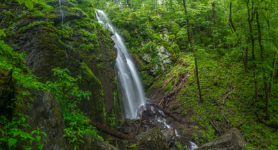
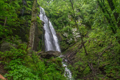
At 0.2 miles, reach the first of five crossings of Tamassee Creek. If you're seeing Lee Falls in good flow, this will likely be a shallow wade - as will be all the other crossings (and a sixth tributary crossing). You'll walk through the second and third wildlife clearings before reaching a second Tamassee Creek crossing at 0.55 miles. One final clearing follows, after which the trail turns into a nice, gentle single-track path. At 1.0 miles, there is an important easy-to-miss junction. The path you're on continues straight along a Tamassee Creek tributary toward the Foothills Trail, but the trail to Lee Falls turns left and crosses the tributary. Reach another fork at 1.25 miles. Bear left on the main path and instantly cross Tamassee Creek for the third time (a steep path bears right, but it's a dead-end). The trail closely follows Tamassee Creek the rest of the way to Lee Falls, crossing it twice more and becoming increasingly steep and rugged. The last part of the path has some minor rock scrambles and downed trees. Finally, climb to the base of Lee Falls at 1.5 miles. The 80-foot free-fall at Lee Falls is absolutely breathtaking. At Lee Falls, Tamassee Creek falls in sheer twin drops over a giant, mossy cliff into a small pile of rocks. The creek then cascades steeply downstream and out of sight. A scenic cascade just below the main waterfall complements the scene nicely. Lee Falls is surrounded by lush greenery resembling a setting out of the tropics. Even the jagged cliffs at the falls appear largely green! To reach the best close-up views of Lee Falls, you may need to scramble over large boulders. Lee Falls is beautiful even when it's just a trickle, but to truly appreciate it, you'll need to visit after heavy rain or during periods of above average flow. In those times, the free-fall at Lee Falls has awesome power. Another name for Lee Falls is Tamassee Falls, since it's on Tamassee Creek. However, Lee Falls seems to be the more widely-used name. Simply retrace your steps back to the FS 715A parking area from Lee Falls. You'll conclude the hike at 3.0 miles. Mileage
0.0 - Lee Falls Trailhead
1.0 - Stay Left on Lee Falls Trail 1.25 - Stay Left on Lee Falls Trail Again 1.5 - Lee Falls 3.0 - Lee Falls Trailhead Variations
None
Bonus Stops
Yellow Branch Falls is a phenomenal Walhalla-area waterfall that is also best seen in periods of high flow. The hike to it is similar in length and difficulty to Lee Falls, and the two would make for a great combination.
Pictures & Videos
2 Comments
Appreciation! This remote SC waterfall still had a sizeable flow in mid-October 2018. The four clearings were mowed but definitely still check for ticks after ducking through the Rosebay Rhododendron thickets.
Reply
John
11/12/2018 06:17:37 pm
I love to see a beautiful waterfall as much as anyone, but can we please try to only hike here on Sundays from Oct 1-Jan 1st? This place is frequented by hunters (myself included), and there's no reason to ruin someone's hunt. If you do walk this trail during hunting season, please try to be quiet going through the fields, stay on the trail and PLEASE keep your pets on a leash.
Reply
Leave a Reply. |
About MeMark Oleg Ozboyd Dear readers: I have invested a tremendous amount of time and effort in this website and the Georgia Waterfalls Database the past five years. All of the work that has gone in keeping these websites updated with my latest trip reports has almost been like a full-time job. This has not allowed me to pick up a paid job to save up money for college, and therefore, I I've had to take out loans. If you find the information on this website interesting, helpful, or time-saving, you can say "thanks" and help me out by clicking the button above and making a contribution. I will be very grateful for any amount of support you give, as all of it will apply toward my college tuition. Thank you!
Coming in 2022-2023?
Other Hiking WebsitesMiles HikedYear 1: 540.0 Miles
Year 2: 552.3 Miles Year 3: 518.4 Miles Year 4: 482.4 Miles Year 5: 259.9 Miles Archives
March 2021
Categories
All
|
||||||

 RSS Feed