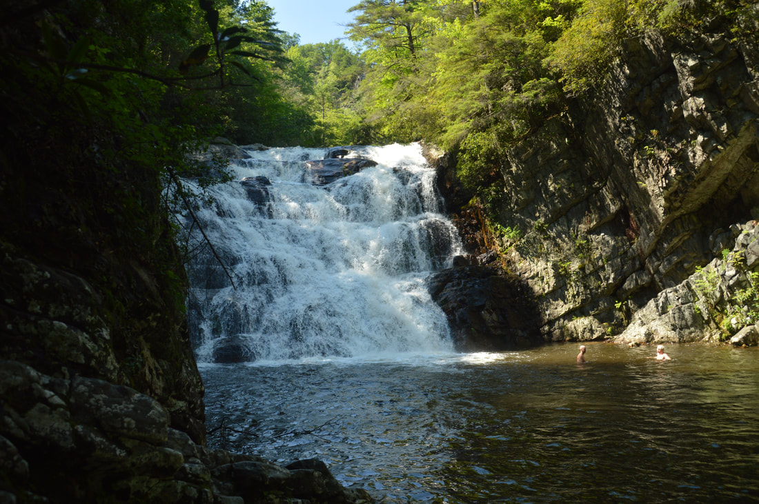
The 55-foot Laurel Falls is one of Northeast Tennessee's most breathtaking waterfalls. Located just outside of the community of Hampton and off the Appalachian Trail in Pond Mountain Wilderness, access to Laurel Falls is fairly easy, making it a destination that can often be crowded, but the falls and the whole hike is still worthwhile - for there is a lot more to see along this stretch of the AT. Above Laurel Falls, an unofficial side trail makes a steep scramble to the pointy summit of Potato Top, where there are several excellent views of the Laurel Fork Gorge and surrounding wilderness. In addition, the Appalachian Trail between US 321 and Dennis Cove Road passes a lot of pretty creekside scenery and several spectacular cliffs that rise along Laurel Fork Creek. This hike occurred on Sunday, July 9th, 2017. My plan was to hike out and back along the Hampton Blueline Trail and then Appalachian Trail from the trailhead off US 321 near Hampton to the Dennis Cove Trailhead. Along the way, I would take the side trails to Potato Top and Laurel Falls, and on my way back, I would take the high-water bypass route past Laurel Fork Shelter above Laurel Falls for a bit of variation. This hike was the eighth of ten hikes that I did during a seven-day trip to the mountains of northwest North Carolina.
Summary
R/T Length of Trail: 7.2 Miles
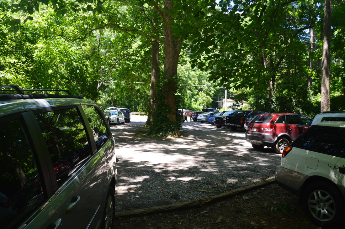
Duration of Hike: 4:30 Type of Hike: Out and Back Difficulty Rating: 5 out of 10 Total Elevation Gain: 1663 Feet Pros: Mostly well-groomed trails; the first part of the hike is very easy Cons: The ascent from Laurel Falls is steep and extremely rocky; the side trail to Potato Top is quite steep as well Points of Interest: Laurel Falls - 10 stars; Potato Top Vistas - 6 stars collectively; Several spectacular cliffs along Laurel Fork Creek; Laurel Fork Shelter Trail Blaze Colors: Hampton Blueline Trail - Blue; Appalachian Trail - White; Potato Top Trail - None Best Seasons to Hike: Winter; Spring Fees: None Beginning Point: US 321 Laurel Fork Trailhead Directions from Elizabethon, TN: From the intersection of US 321 South and US 19E in the community of Hampton several miles south of Elizabethton, follow US 321 South for 1.3 miles. The signed parking area for Laurel Falls, a medium-sized gravel lot, will be on the right. The parking area can fill up quickly, so make sure to get here early, especially on good summer weekends! Map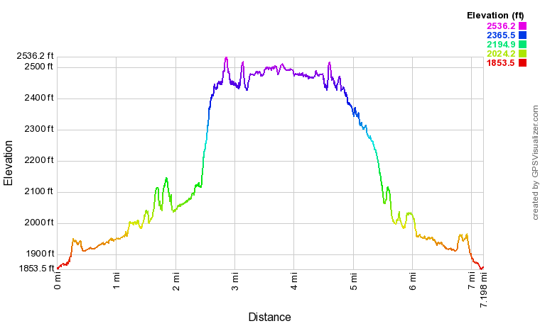
Click the link below to download a .GPX file with a track of this hike.
Details
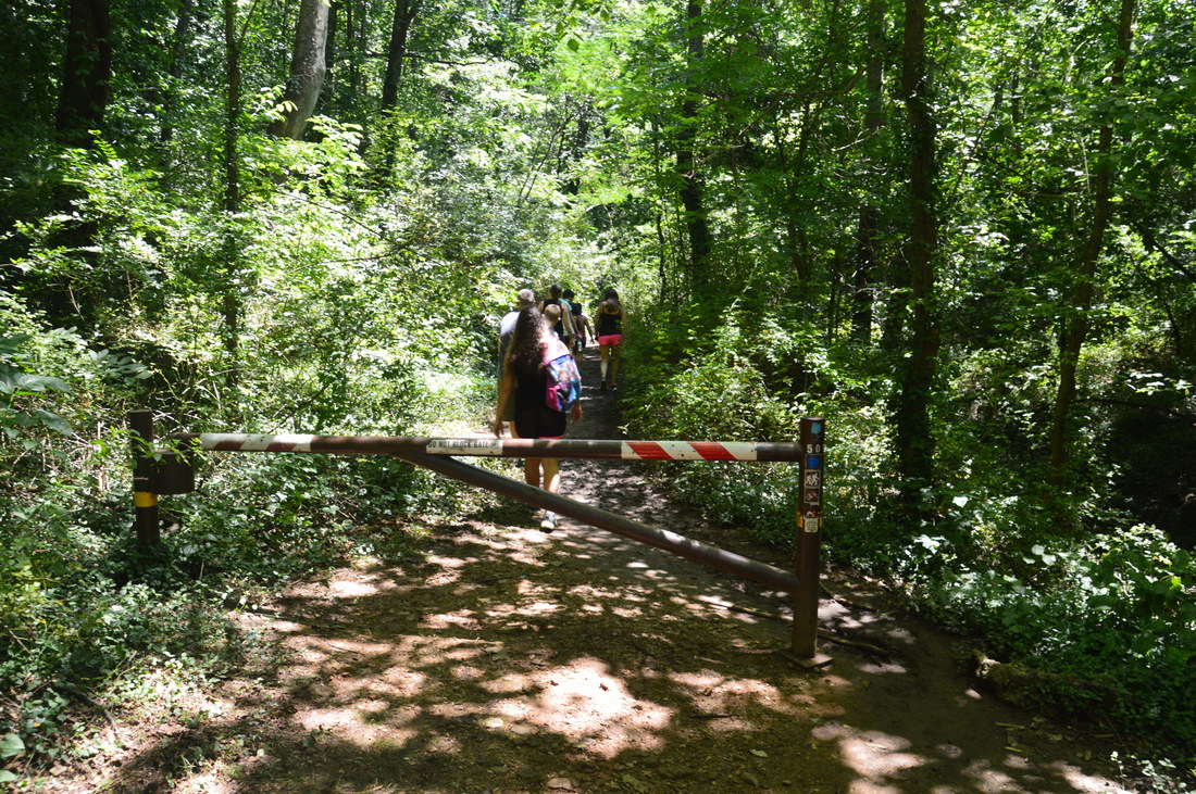
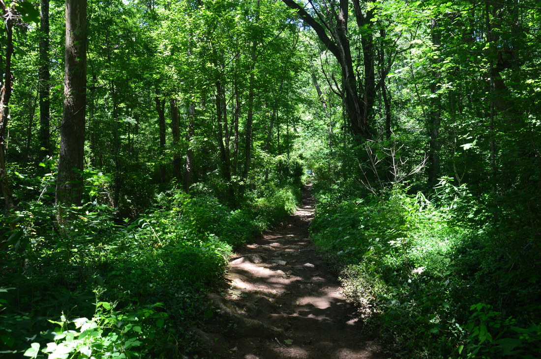
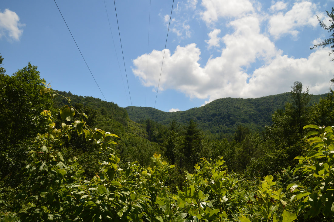
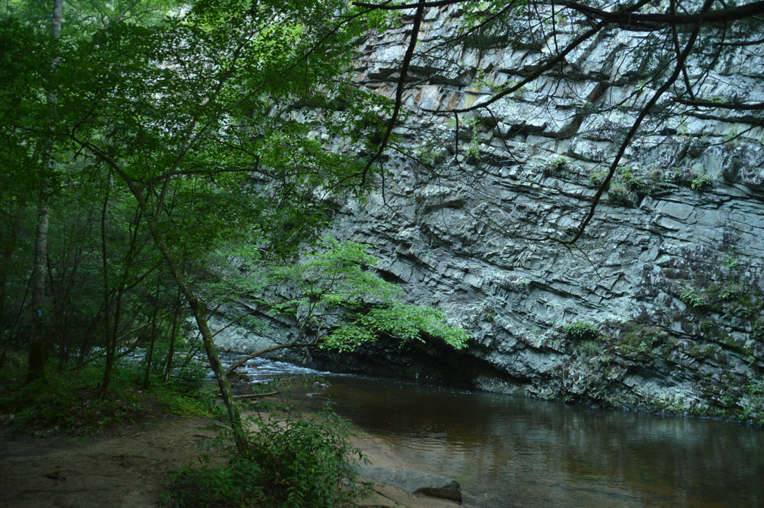
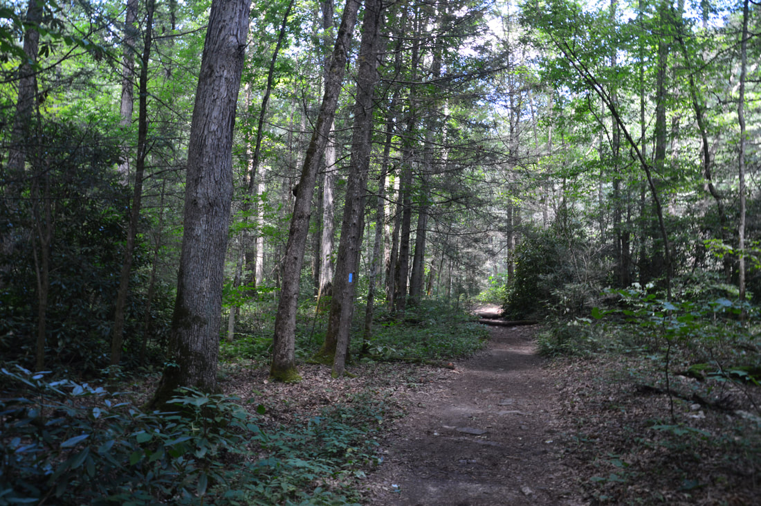
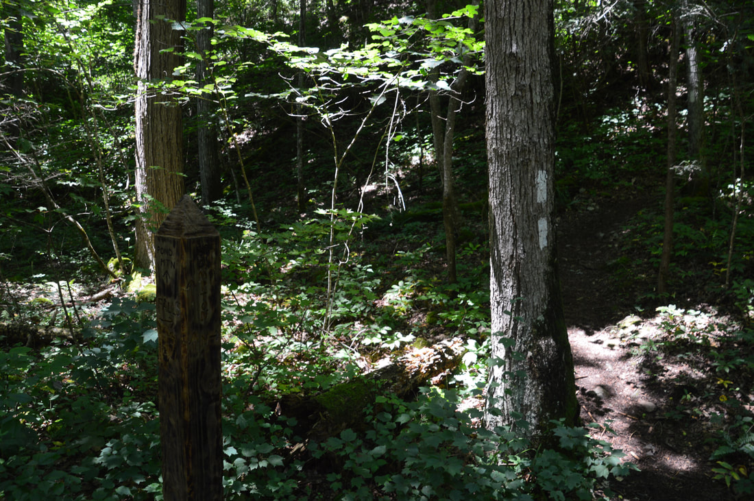
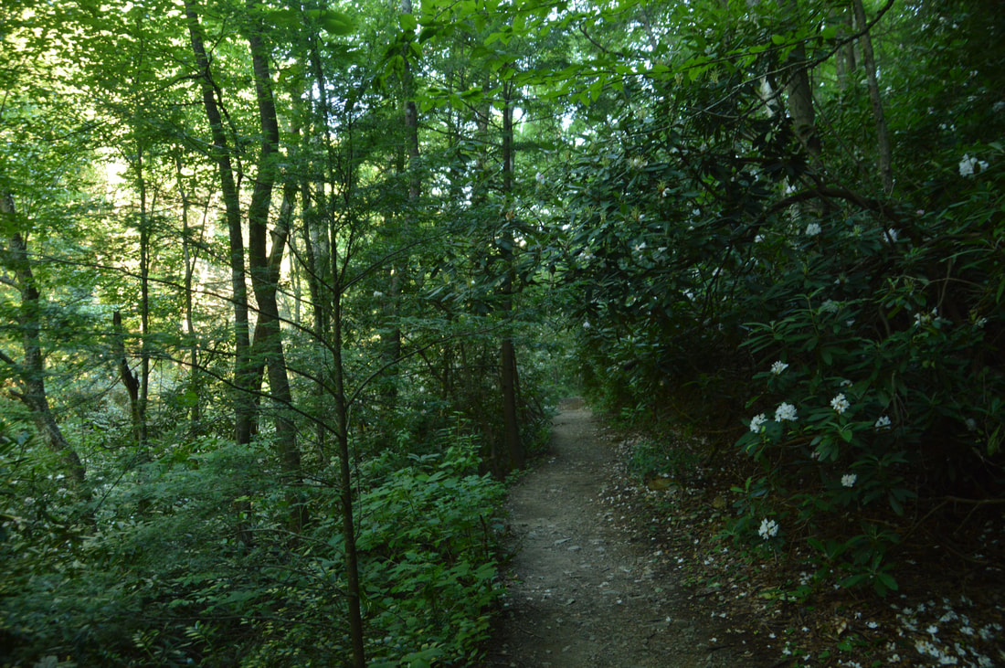
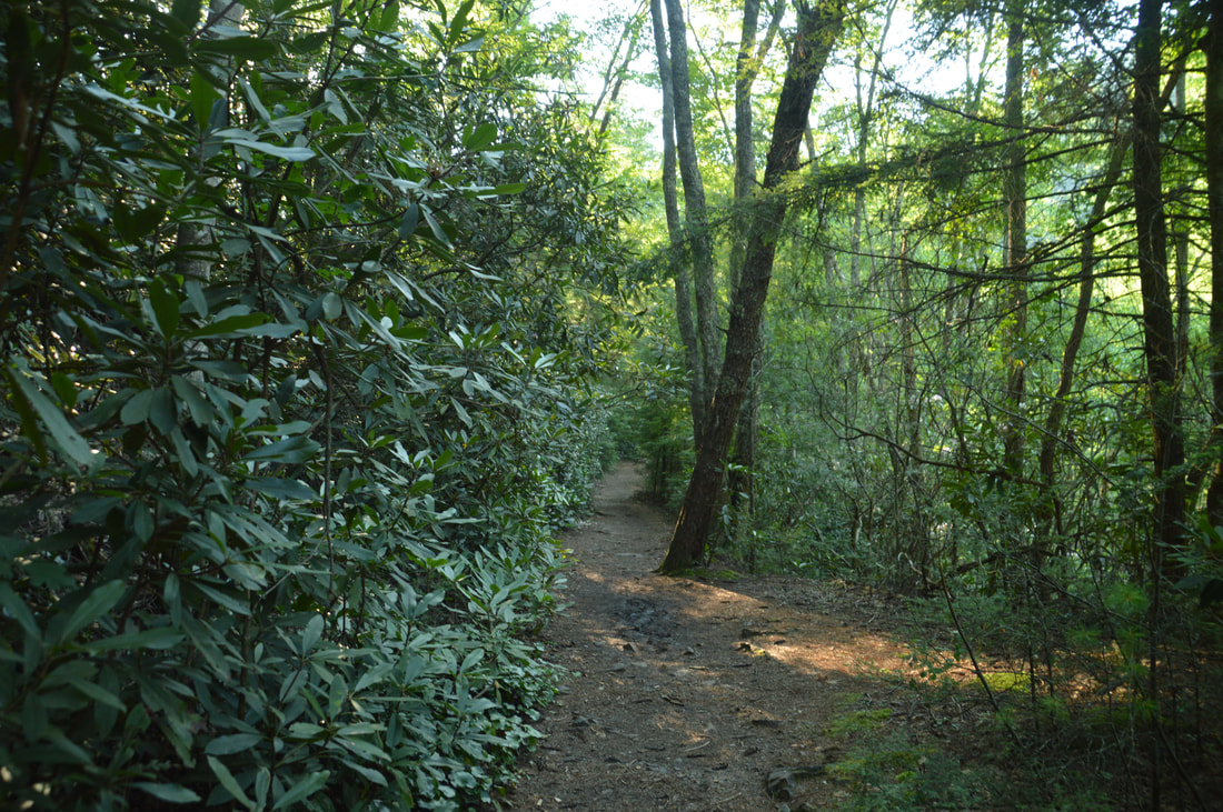
Laurel Falls on Laurel Fork Creek is one of those places that I've heard about and wanted to visit for years but didn't have the chance due to the driving distance. Needless to say, Laurel Falls was instantly on the list when I made a trip to Northwest NC - as the drive into adjacent Tennessee was fairly short. The only drawback of Laurel Falls is that it can get pretty crowded due to the relative ease of access, but not all parts of the trail are busy, and the sights here are still well worth the visit. The hike to Laurel Falls begins at the far end of the parking area off US 321, past the gate on the wide trail signed by a carsonite stake as #50. This is the Hampton Blueline Trail, also known as the Laurel Falls Trail, which serves as a connector to Appalachian Trail and an easy access to Laurel Falls. The trail starts out as a very broad and sometimes muddy path that ascends gently, soon coming alongside Laurel Fork Creek. Initially, you will see some houses across the creek. At 0.25 miles, the blue blazes direct the trail as it turns sharply left on a narrower trail while an unmarked but broad path goes straight. Follow the official blazed trail as it switchbacks into a powerline clearing with a view of Black Mountain. Shortly after the clearing, the trail enters the Pond Mountain Wilderness and bears left as it joins a broader trail. The Hampton Blueline Trail then keeps right at a split, descends down a stone staircase, and comes alongside Laurel Fork Creek at a massive cliff on the other side at 0.55 miles. The cliff is known as Buckled Rock due to its many interesting layers.
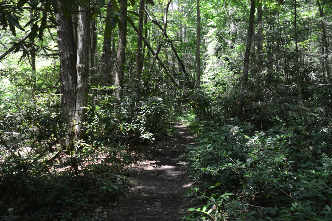
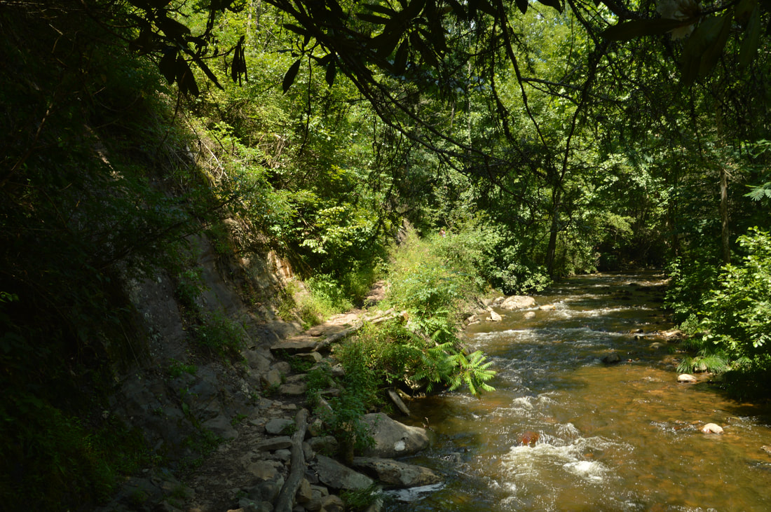
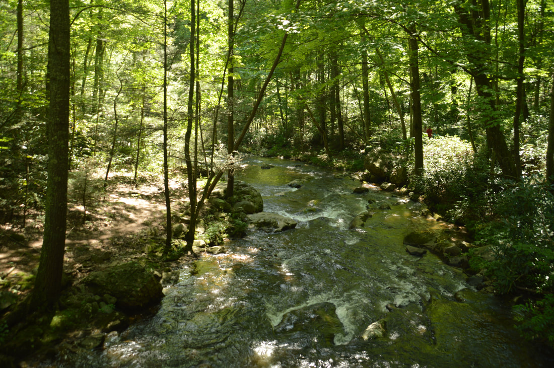
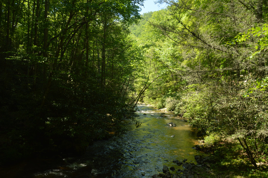
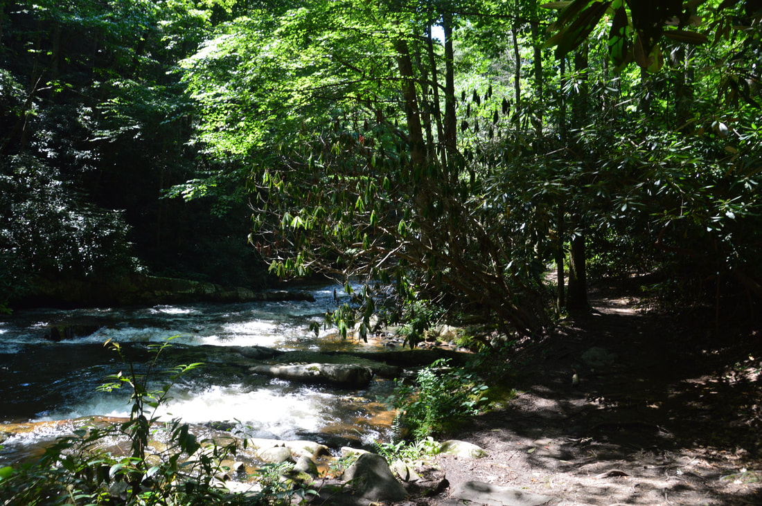
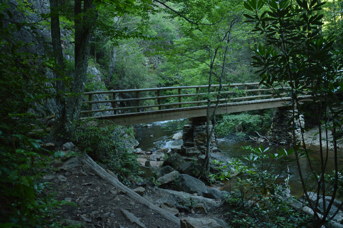
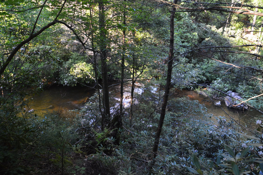
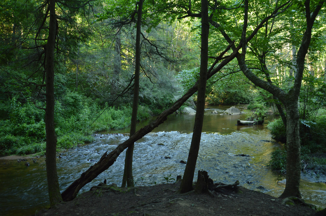
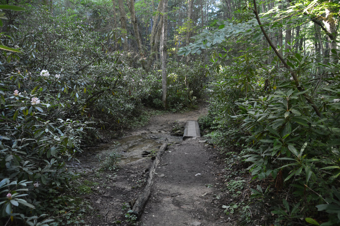
Past the cliff, the trail remains essentially flat as it follows the cascading creek and passes several campsites. Around 0.7 miles, the trail enters a neat stretch where it is squeezed into following a rocky path along the very bank of Laurel Fork Creek, due to a small cliff to the left. At 0.85 miles, the Hampton Blueline Trail ends at a junction with the white-blazed Appalachian Trail. To the left, the Appalachian Trail makes a steep and tiring ascent of Pond Mountain and then eventually descends to US 321 at Watauga Lake, but this hike continues straight on an easier part of the Appalachian Trail toward Laurel Falls. At 1.2 miles, the Appalachian Trail reaches a sturdy wooden footbridge on rock supports across Laurel Fork Creek. Remember, you will not have to ford Laurel Fork Creek during this hike - all three crossings are bridged. Then, the AT passes through a rhododendron thicket and crosses back to the left side of the creek via bridge at 1.45 miles. Take a moment to enjoy the sight of the creek's cool, clear waters. After the second bridge, the trail remains flat along the creek before a split at 1.6 miles. While a path continues straight, the white-blazed trail bears left and begins a moderate ascent up a narrow ridge that intersects a bend in Laurel Fork Creek. At 1.75 miles, the trail reaches the rocky crest of the ridge, where there is a mediocre view of Laurel Fork Gorge upstream. The trail stays on the narrow ridge until a signed junction with the blue-blazed High-Water Bypass Trail at 1.85 miles. The Appalachian Trail bears right and follows Laurel Fork Creek to Laurel Falls, while the high-water bypass continues straight to Laurel Fork Shelter. Both trails reconnect just after Laurel Falls. The reason that this bypass exists is that there is a short section of the AT before Laurel Falls that is almost in the creek, so it can be underwater sometimes. However, keep in mind that you can hike the bypass trail and still reach the falls safely by taking the AT down to the falls from the upper junction. Personally, I suggest taking the lower trail to the falls and returning along the upper trail. 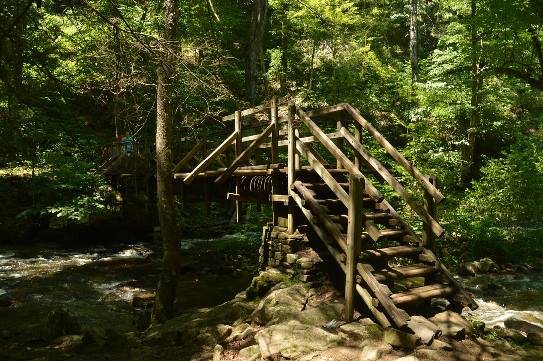
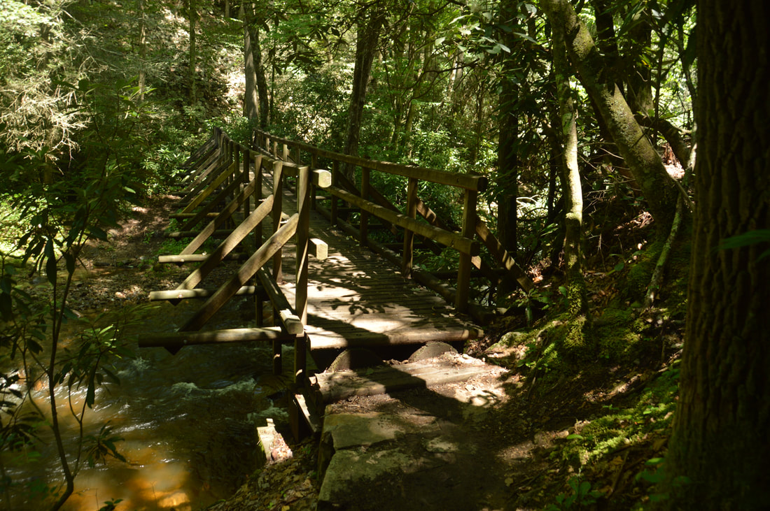
Several well-constructed footbridges carry Appalachian Trail hikers across Laurel Fork Creek.
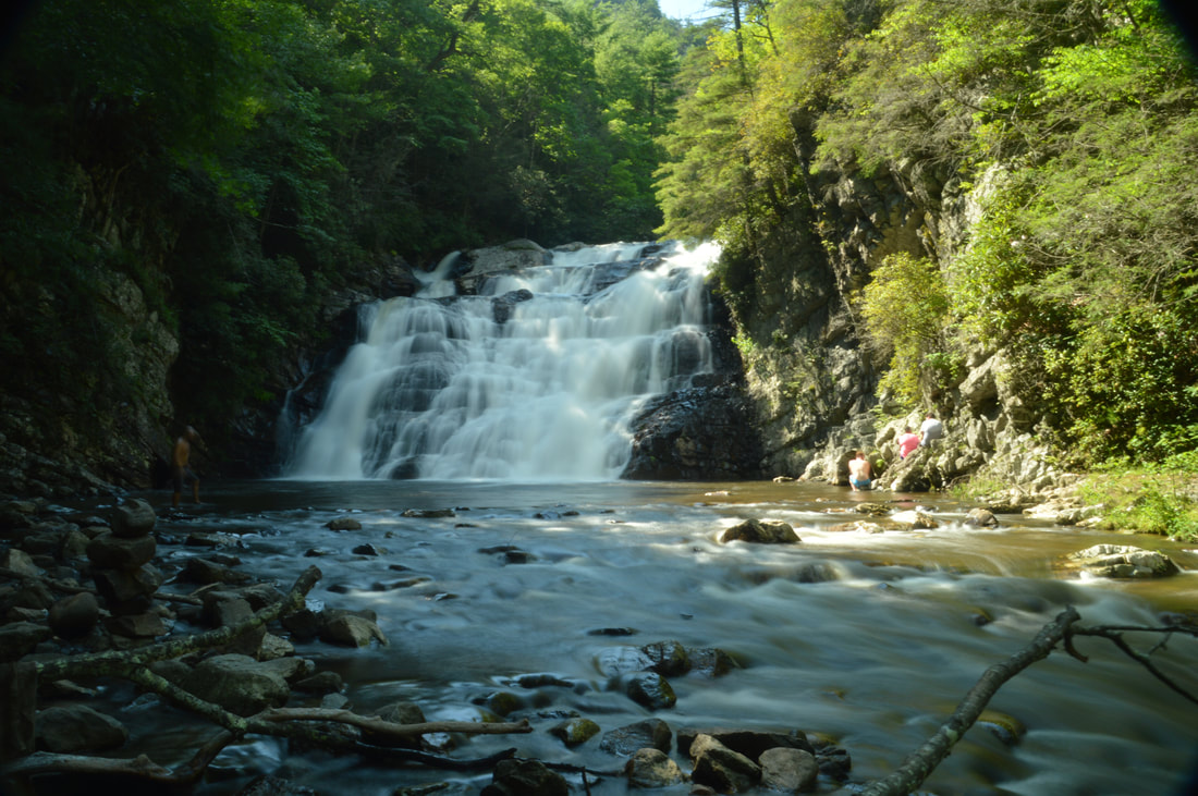
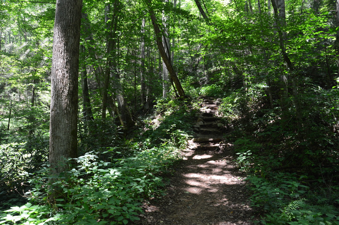
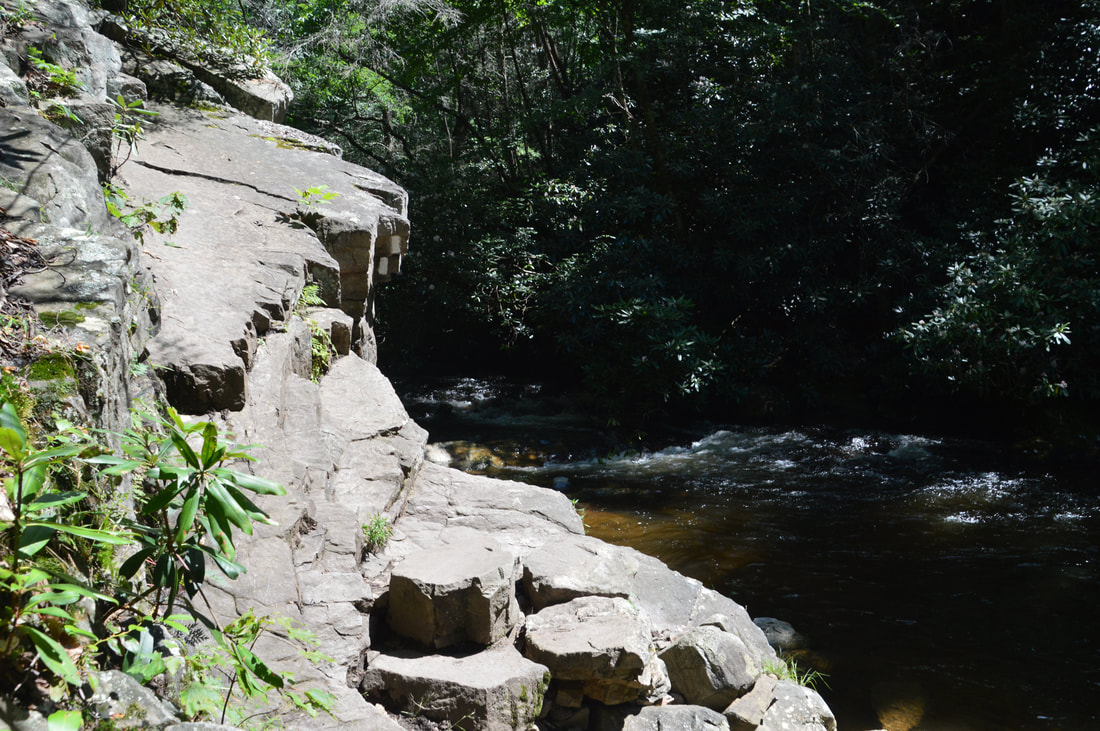
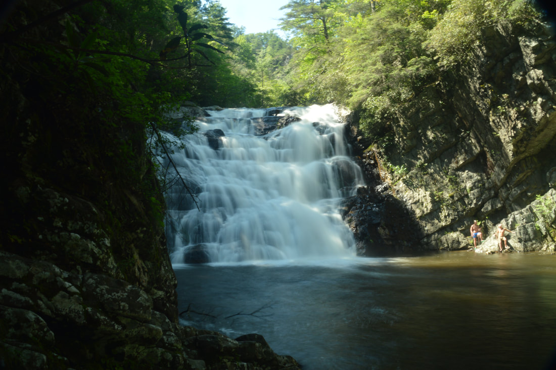
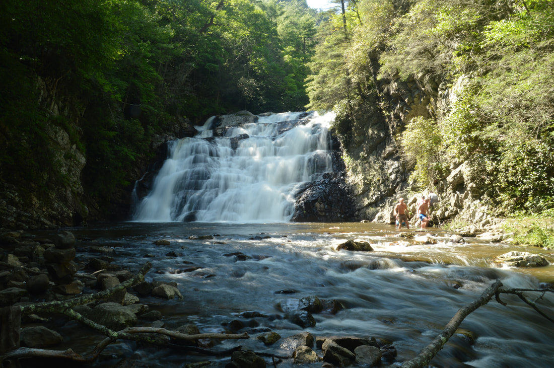
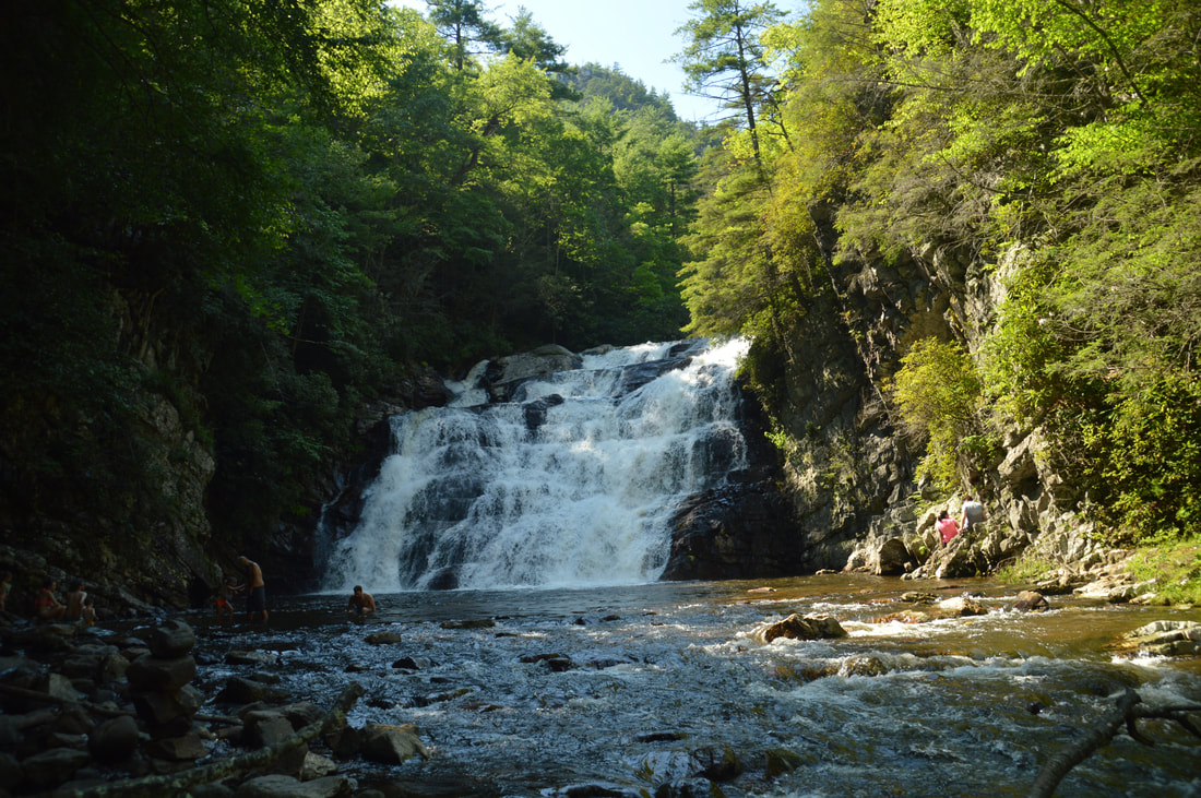
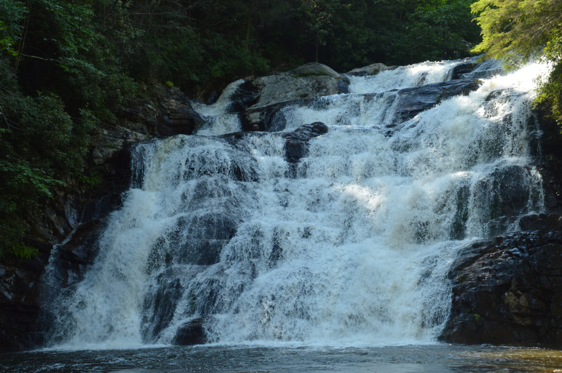
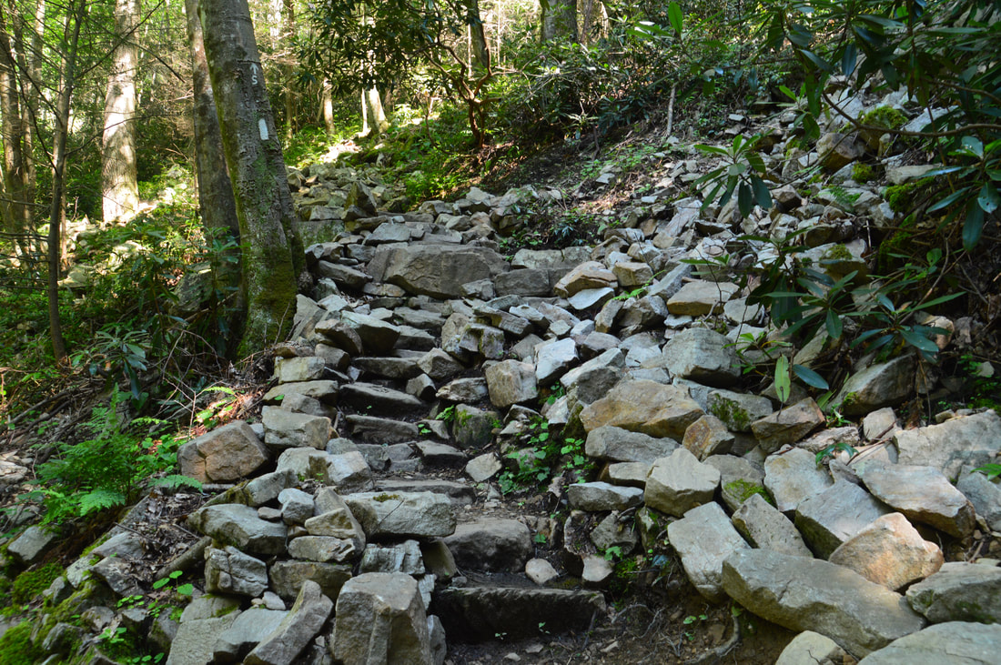
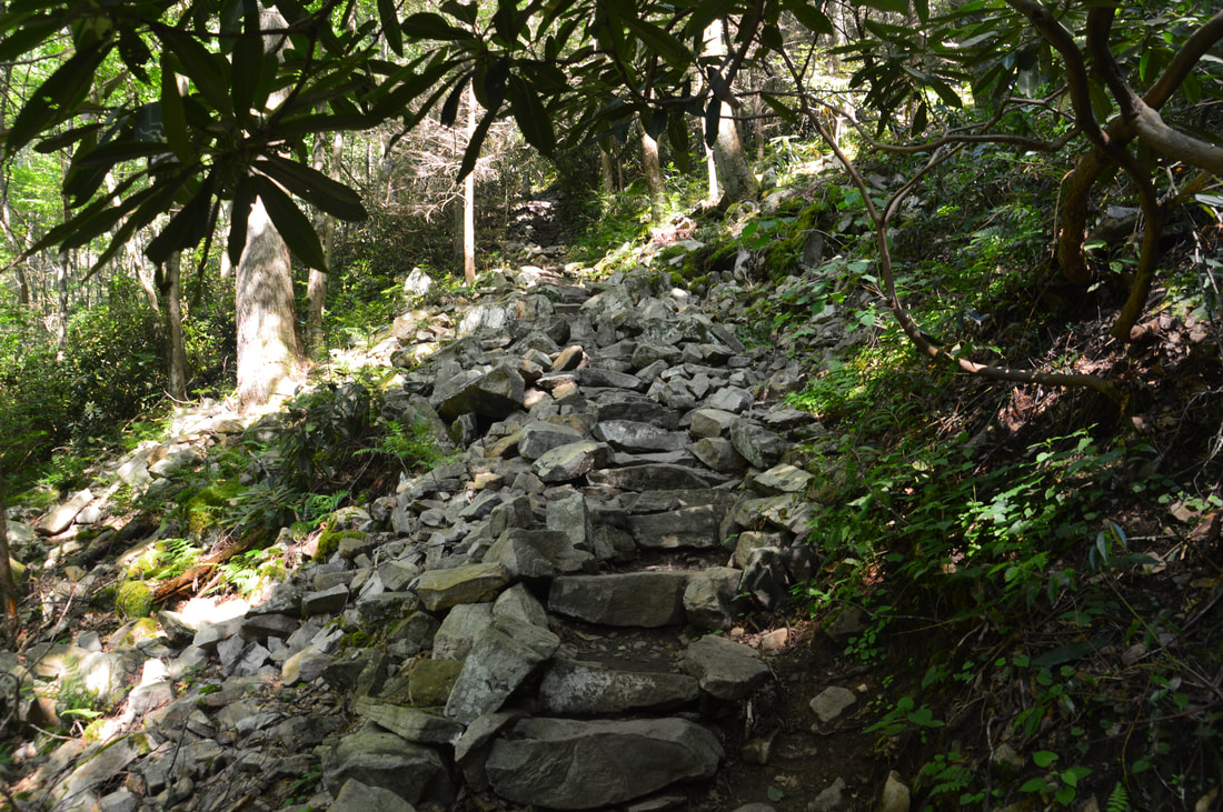
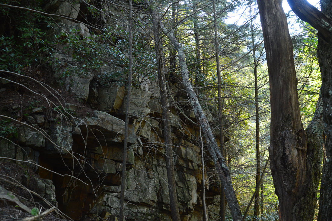
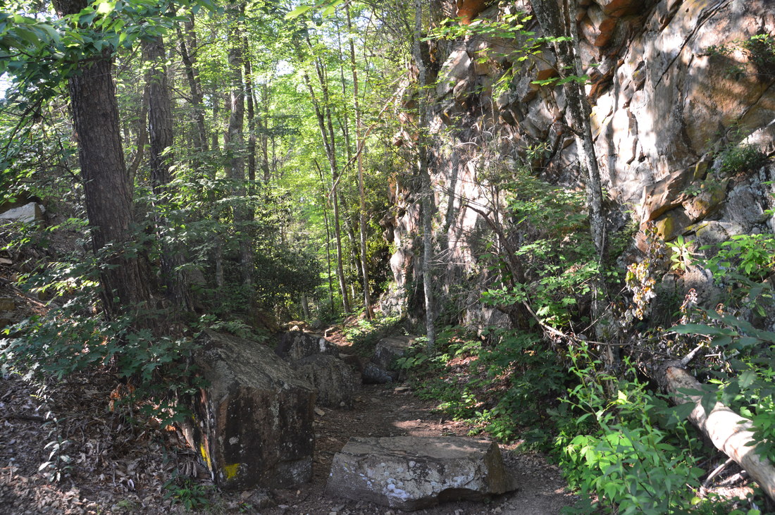
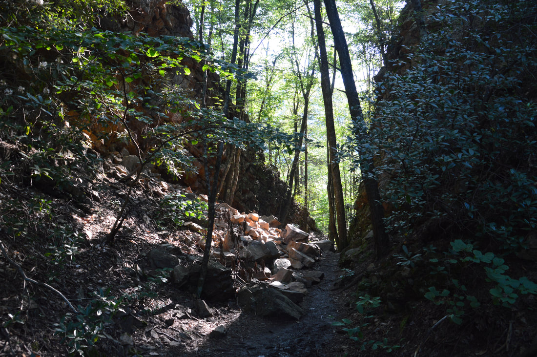
Thus, at the signed junction, stay right on the AT, descending back to Laurel Fork Creek. After an easy stretch, the trail reaches a cliff at 2.3 miles. Here, the white blazes show the trail as it follows a tiny rock shelf between the sheer cliff and the creek. In this manner, the trail bends around the cliffs and regains the shoreline. This is why a high-water bypass exists, as during a flood or well above normal flow, this rock shelf will probably go underwater. Since the cliff is so long though, there was no other feasible route for the trail. In fact, even when the trail leaves the rock shelf, you will continue to see tall cliffs on the left. Afterwards, the trail rises a bit above the creek and soon comes in view of Laurel Falls. At 2.4 miles, there is a sharp switchback where the AT turns left and begins a steep ascent on rock steps. To access the base of Laurel Falls, turn right onto the 150-foot blue-blazed spur trail that descends to the base of the falls (you will continue on the Appalachian Trail later). There is a large flat that serves as a great viewing area near the base of the falls. Laurel Falls is one of the most impressive waterfalls around, as it is a river-wide drop of about 55 feet (in the form of a block waterfall). Cliffs hem in the falls on both sides. During normal summer flow, there will not be water on all of the rock outcrop that the falls cascades down, but in winter and when there has been a lot of rain recently (such as when I did this hike), the entire cliff will be covered by water. At the base of Laurel Falls, there is a deep pool that can look like an inviting swimming hole. Due to strong currents/undertow around the falls, though, swimming is prohibited at the falls (but some people do it anyway). Considering how quiet the creek has been throughout the hike with only small gentle cascades, it is surprising to suddenly come upon a waterfall as big as this one.
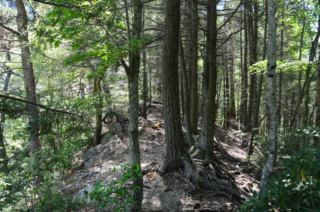
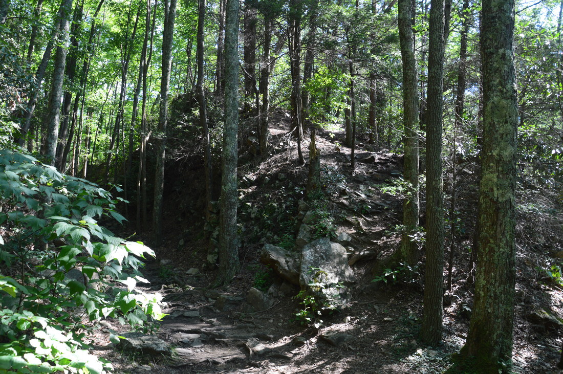
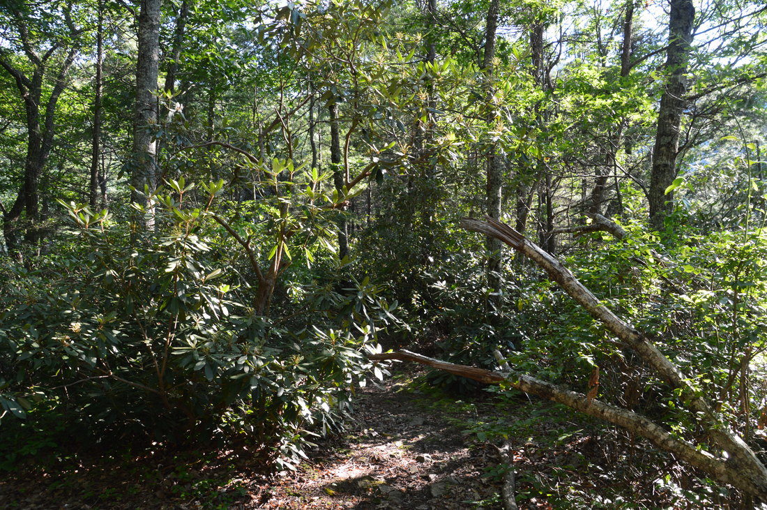
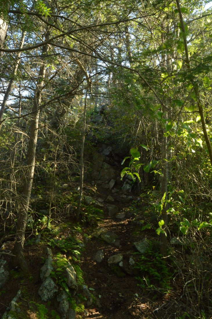
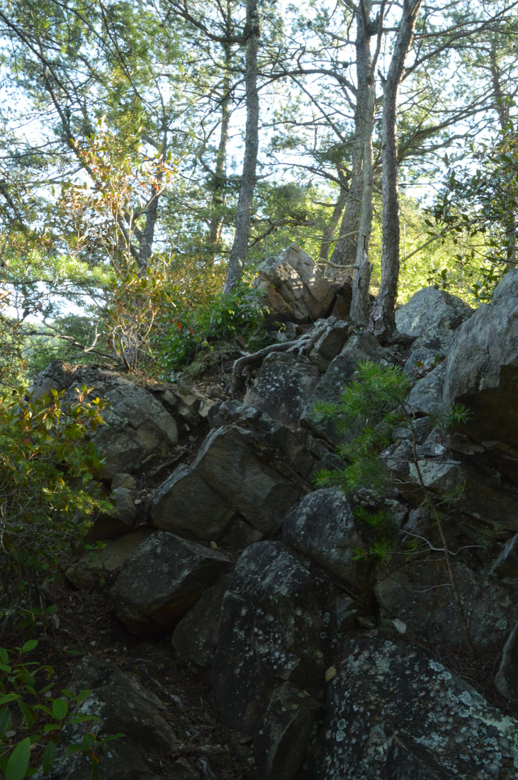
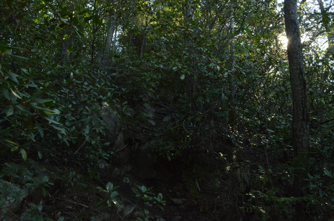
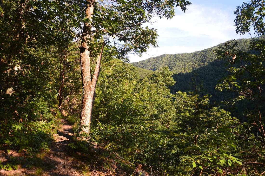
From Laurel Falls, return to the Appalachian Trail. While you can simply retrace your steps to the trailhead, I highly recommend going at least to Potato Top if not following the AT farther along Laurel Fork Creek all the way to Dennis Cove Road. Thus, begin following the extremely rocky Appalachian Trail on its steep ascent out of Laurel Fork Gorge. At one point, there will be a small clearing with a view of Laurel Fork Gorge as well as some cliffs on a ridge descending from Black Mountain. At 2.6 miles, the trail reaches a T-intersection at the upper end of the high-water bypass. The bypass trail turns left to head back toward the trailhead, but if you want to continue this hike toward Potato Top and Dennis Cove Road, turn right onto the Appalachian Trail, which begins to follow an old railbed. After a period of gentle ascent, pay close attention at a point where the trail bends left into a railroad cut at 2.7 miles. At the same point, a narrow unmarked path bears right off the main trail and ascends steeply. This is the trail to Potato Top and you must not miss it. Turn onto the path and follow it to a hill above the railroad cut, where there is a campsite. At the campsite, turn right onto a narrower path that joins a knife-edge ridge. Initially, the trail is nearly flat, but after it passes a tall cliff to the right, the trail begins an extremely steep rock scramble to the summit of Potato Top that feels like it is longer than it really is. There will be a couple spots where you may find use of your hands helpful. At 2.8 miles, the trail reaches a rock outcrop with the first view. This vista - which faces southeast - is more open than the summit vista, but it is a bit less impressive actually. The view includes part of the Laurel Fork Gorge upstream as well as ridges descending from Pond Mountain and Black Mountain. Continue on the main path, shortly passing the final pitch - even steeper than anything so far - and reaching the rocky summit of Potato Top at 2.85 miles. 
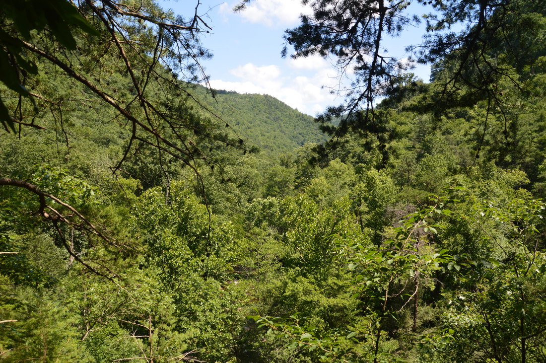
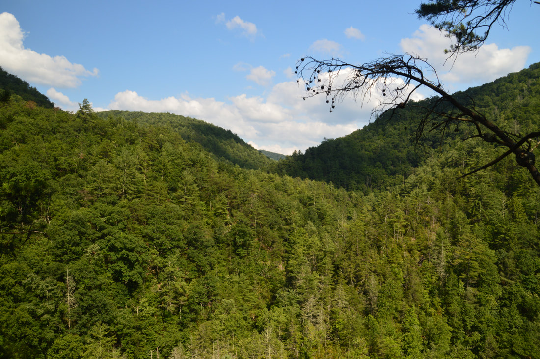
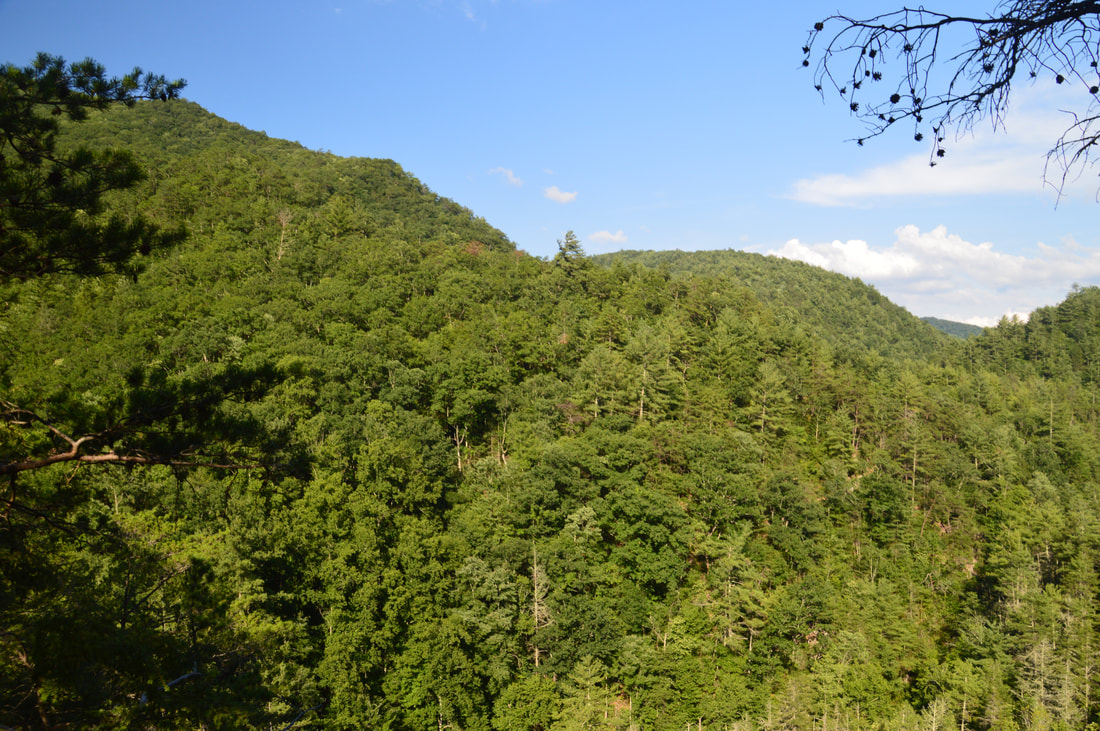
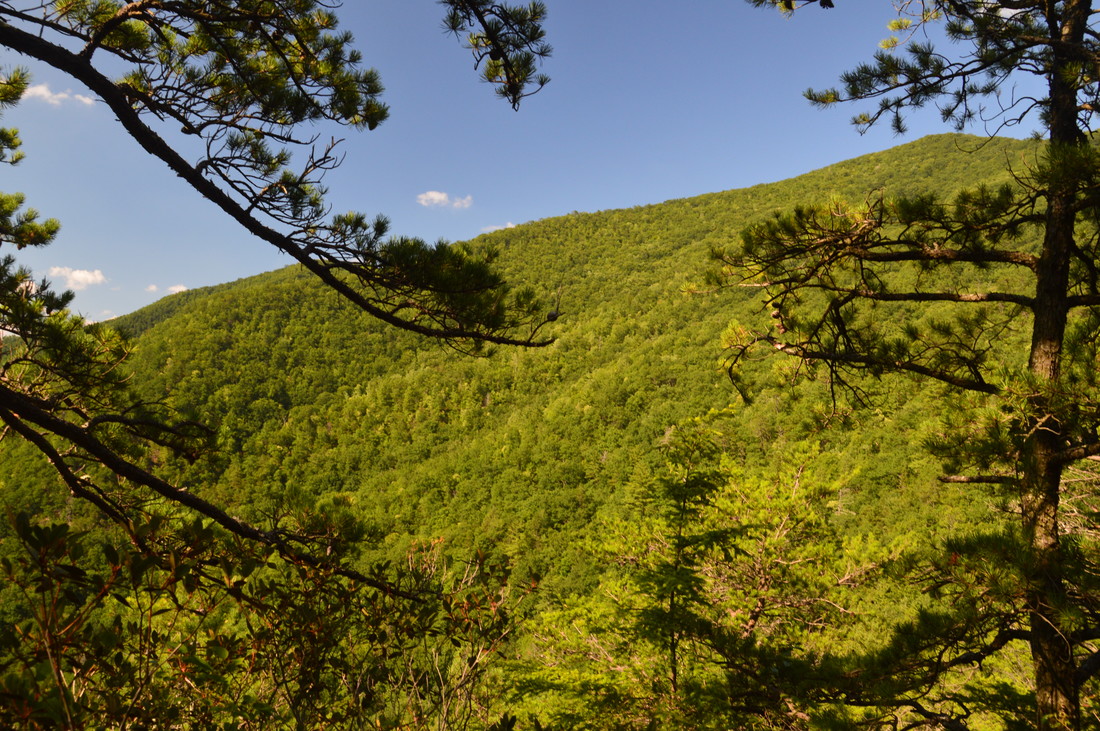
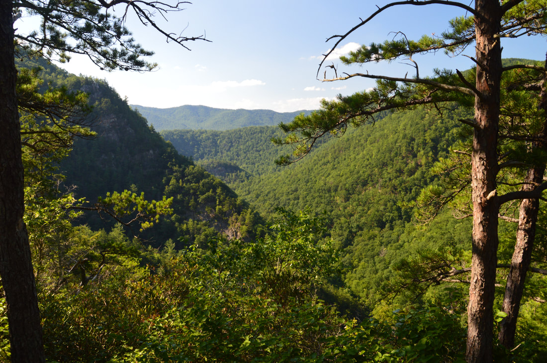
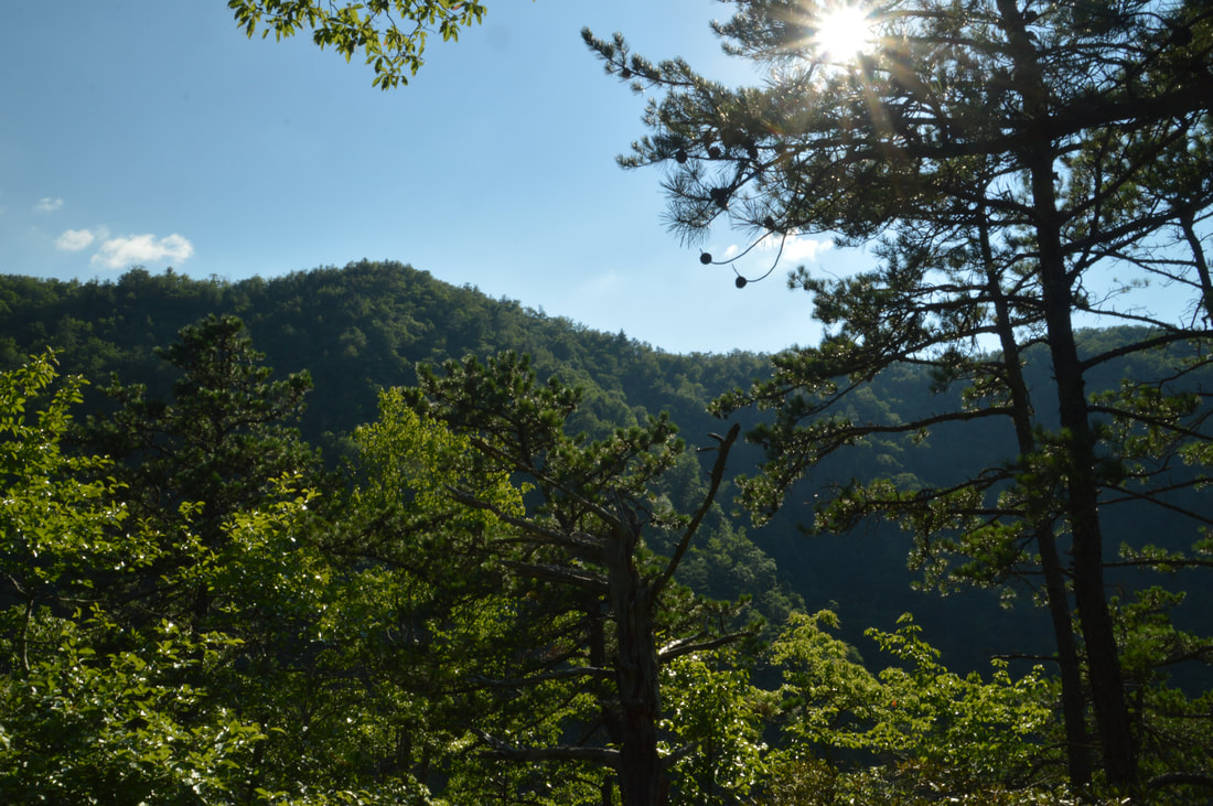
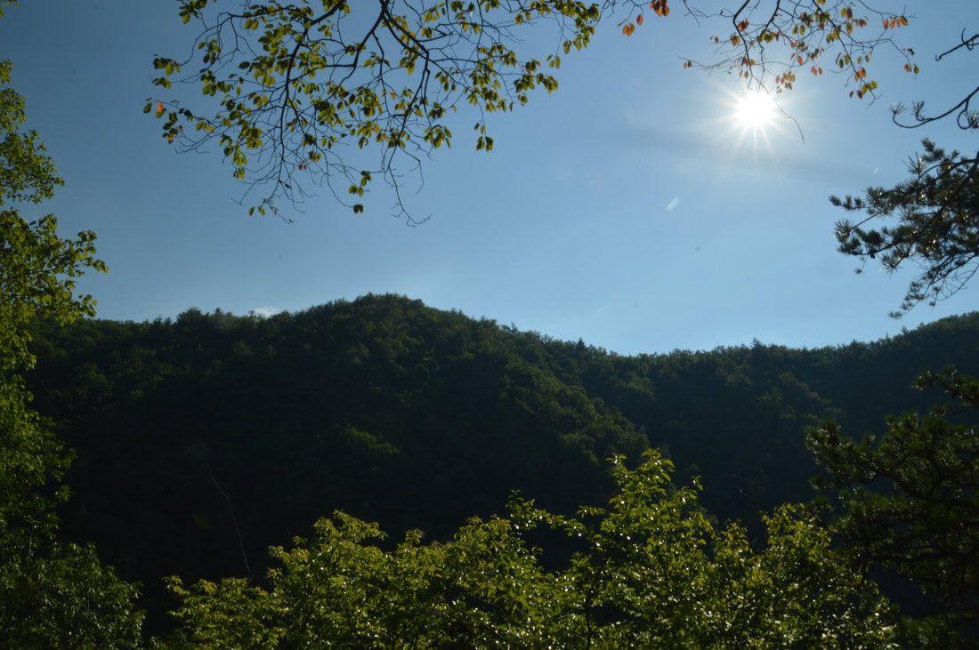
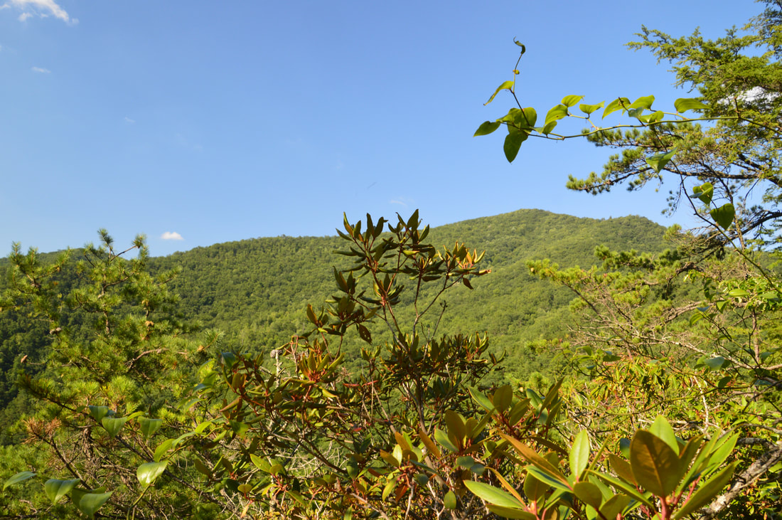
The scenic view northward from Potato Top includes Laurel Fork Gorge downstream in the foreground, as well as Pond Mountain and Iron Mountain in the background.
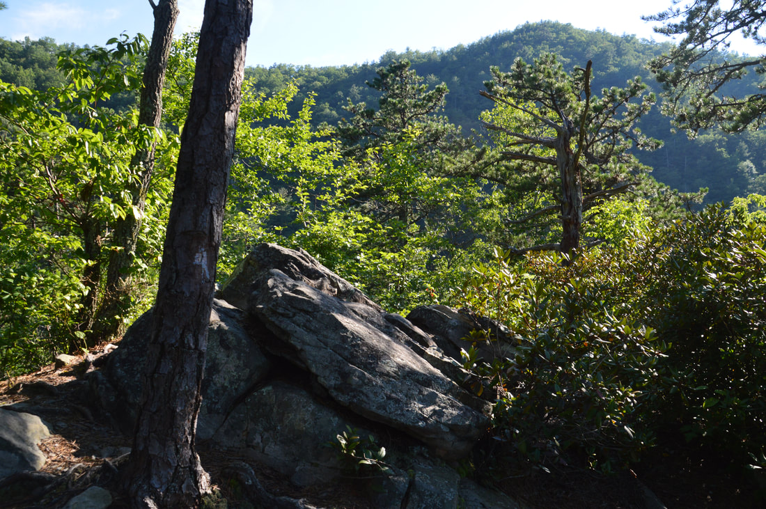
The summit of Potato Top has a few more trees than I'd prefer. But in some ways, the rock outcrop at the top still provides a "360-degree" view. The completely open views are to the north and west. But even to the east and south, you can see some things through the pine trees. The view from Potato Top is neither the most beautiful nor most open view in the area, but the spot has qualifications that make it especially appealing. Part of this is because Potato Top is relatively hard to reach - especially for folks whose goal is to stroll to Laurel Falls. In fact, while I won't guarantee that you'll have Potato Top to yourself (the path is surprisingly well-defined), it is very likely that you will. From the small summit of Potato View, the best view is to the north, where you first see the Laurel Fork Gorge downstream, followed by the ridge of Pond Mountain farther on and the Iron Mountain Ridge blocking the horizon. Also, note the grand cliffs on a ridge going down from Black Mountain (you saw these cliffs from a slightly different angle near Laurel Falls). To the west, the view is open as well, but the much taller Black Mountain prevents you from seeing anything else. To the east/northeast, you can partially see the summit of Pond Mountain, although the best view of that part of Pond Mountain is from another rock outcrop a bit further down a goat path that drops off the other side of Potato Top. The worst view from the summit is south/southeast, as much of it is blocked, but most of that part of the view is covered by the first rock outcrop.
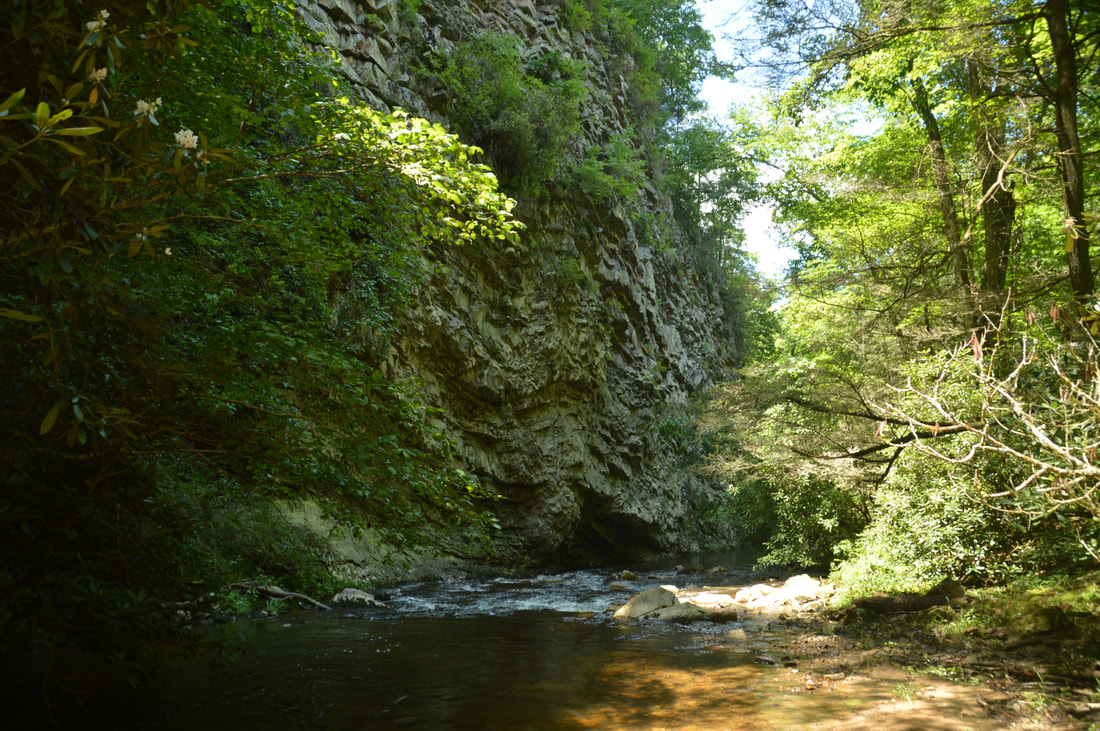
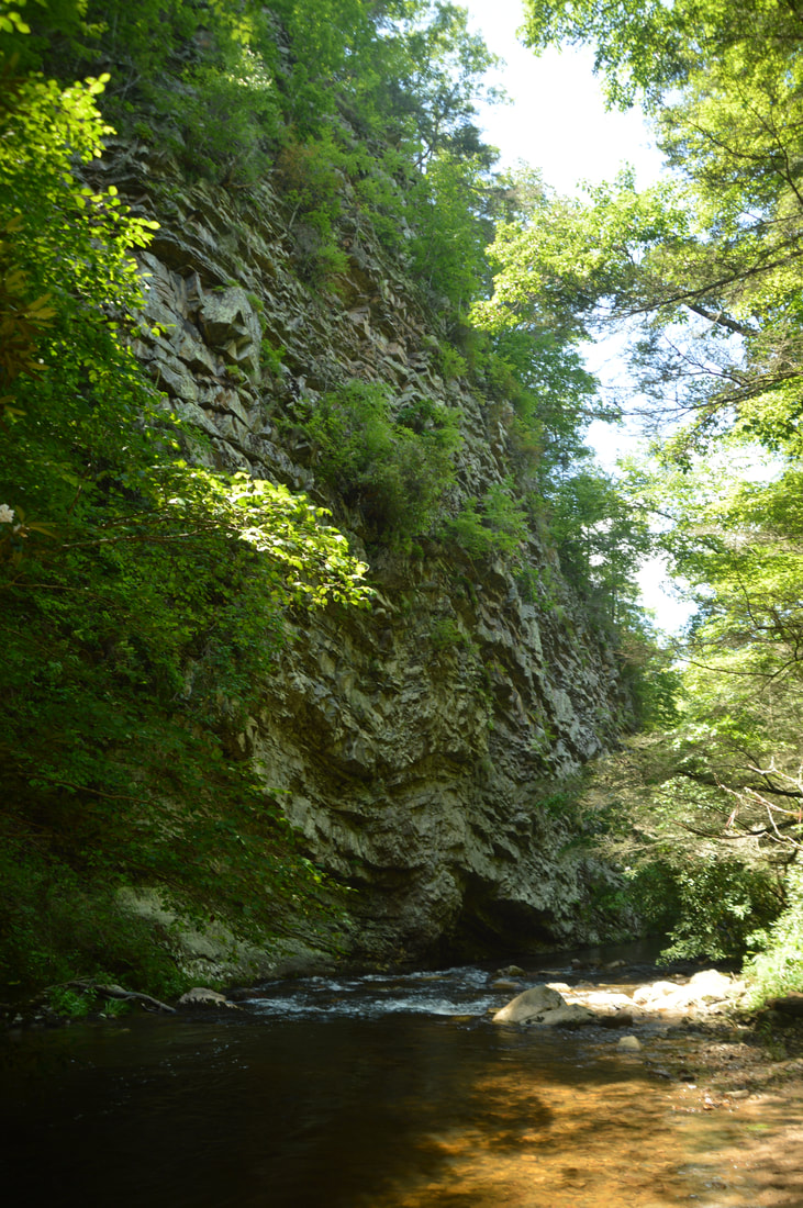
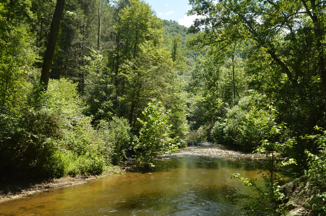
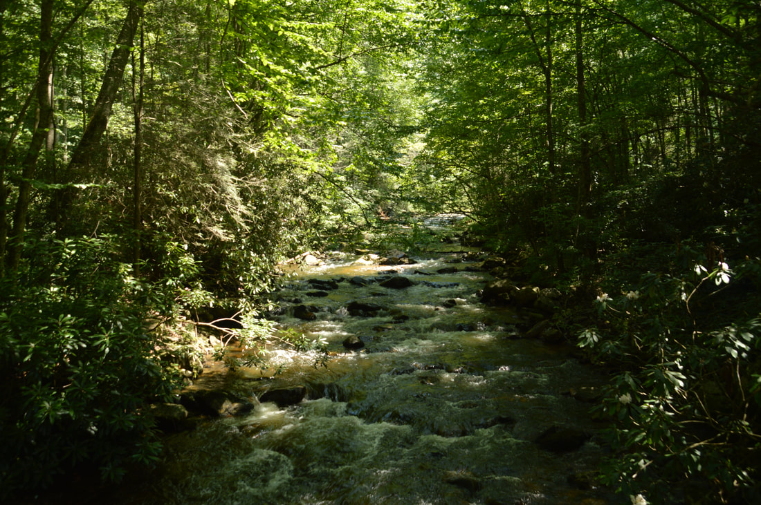
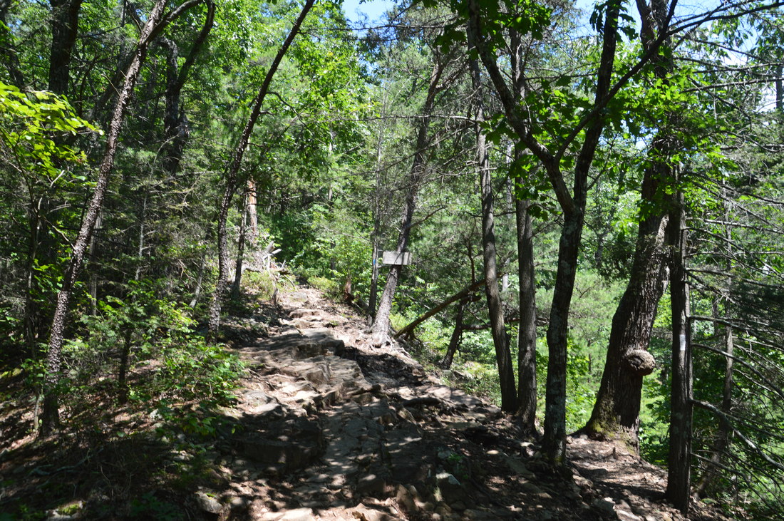
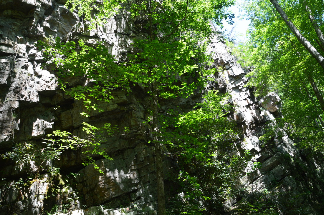
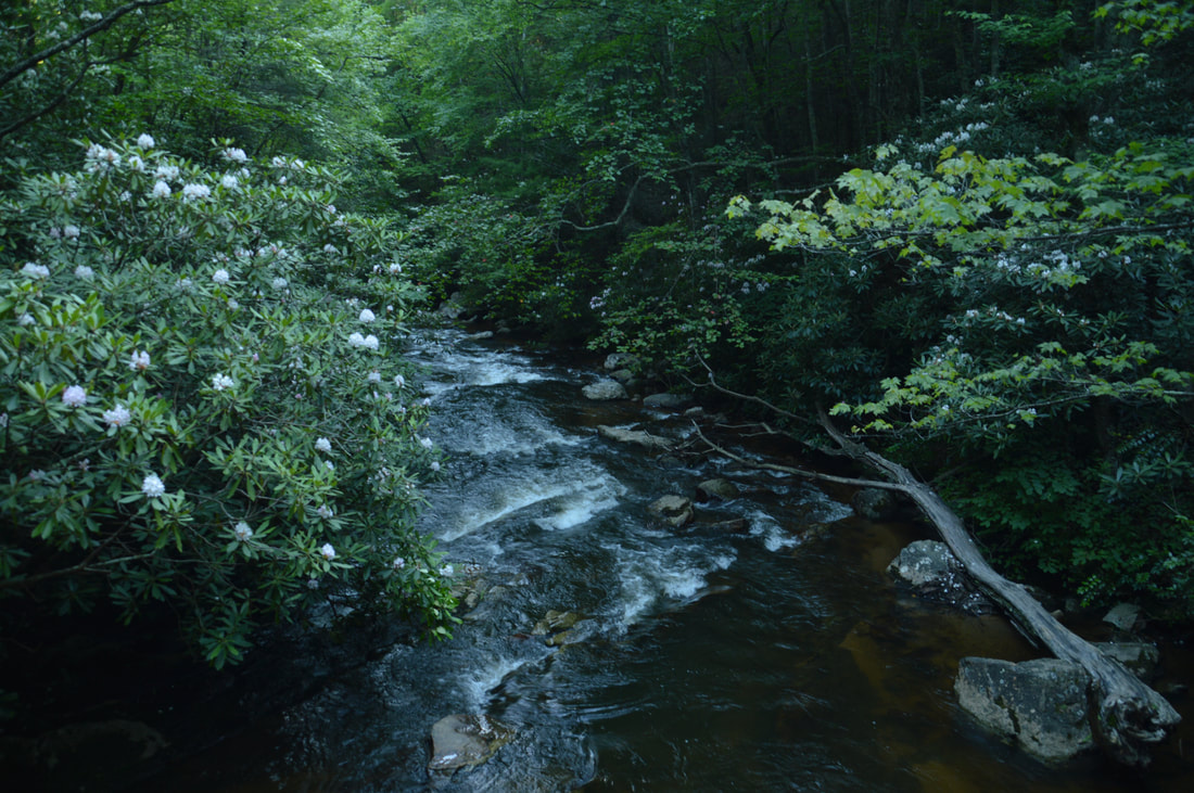
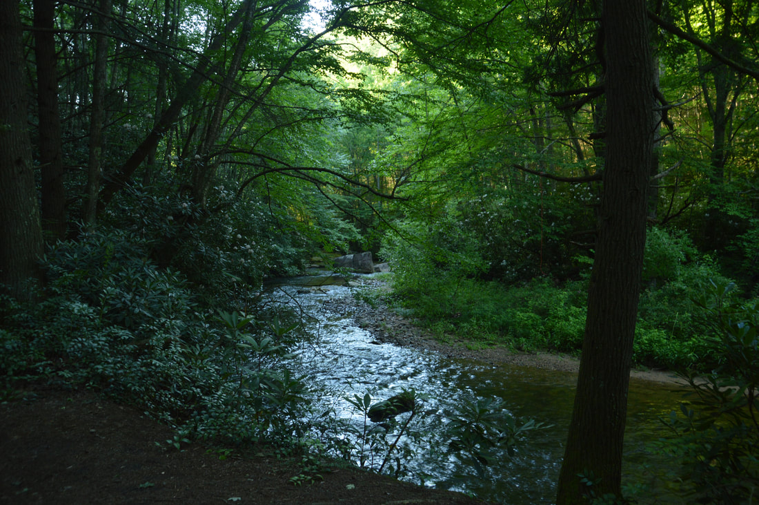
From Potato Top, retrace your steps to the Appalachian Trail. When you reach the campsite, you have a decision to make. You can head back to the trailhead for a shorter hike, or you can keep following the Appalachian Trail past an incredible cliff and several pretty scenes on Laurel Fork Creek to Dennis Cove Road. Even though this adds some mileage to the hike, it is barely harder, so I highly recommend continuing on the Appalachian Trail. To continue on the Appalachian Trail, take the path to the right of the campsite (that drops down the other side of the railroad cut, shortly rejoining the AT. The AT continues to follow the old railbed above Laurel Fork Creek, passing through several more cuts - the last and largest one of which is at 3.15 miles. After this, the trail curves to the left and descends steeply down a series of rock steps to Laurel Fork Creek, reaching a footbridge across it at 3.2 miles. This is one of the most beautiful spots on the entire hike. Notice the large cliff on the left side of the trail. The cliff follows the creek, but you haven't realized how large it is yet. As you begin crossing the footbridge, note the scenic slanted rock wall that lines the creek upstream and the pretty rhododendron-lined cascades downstream. Then, when you reach the other end of the footbridge, look back across the creek: wow! - that sheer cliff looks like it is over a hundred feet high. Personally, I believe that this unique feature of Laurel Fork Creek is as worthwhile as any other on the hike. After the footbridge, there is a short uphill to a ridge that intersects a 180-degree bend in Laurel Fork Creek. At the top, the broad trail turns abruptly left and begins a long very easy stretch. The nearly flat trail closely follows Laurel Fork Creek, staying just above it and passing numerous cascades. There will be a nice campsite on the ridge to the right shortly after the turn. The Appalachian Trail soon exits the Pond Mountain Wilderness at a sign. At 3.75 miles, there is a well-used campsite by the side of Laurel Fork Creek, after which the AT leaves the creek. Just before Dennis Cove Road, there is a small footbridge across Big Branch. At 3.9 miles, the Appalachian Trail reaches Dennis Cove Road at a small parking area. 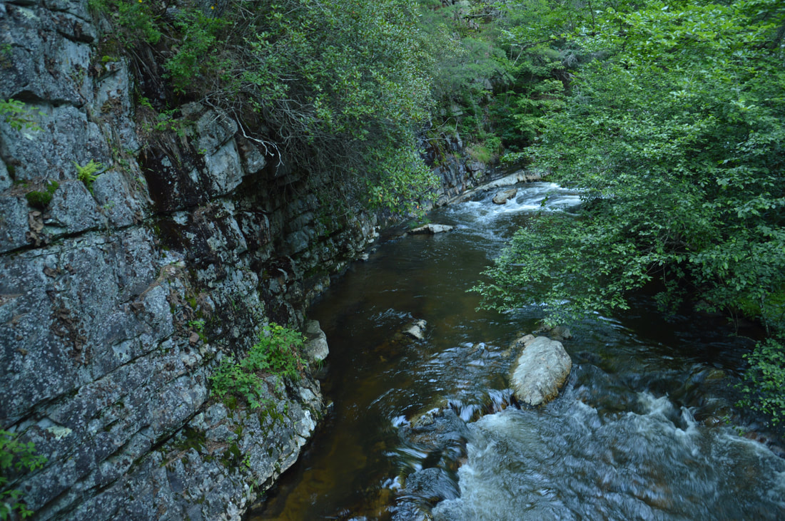
The view upstream from the third footbridge along the Appalachian Trail's Laurel Fork section presents one of the prettiest spots on the entire hike.
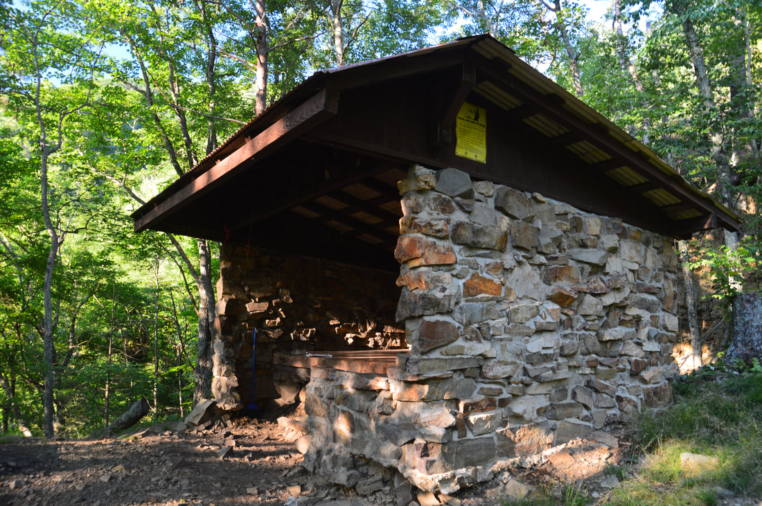
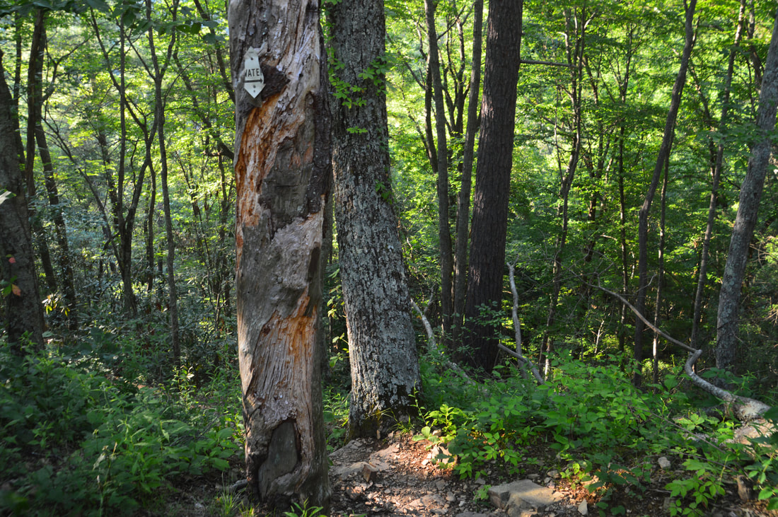
While the Appalachian Trail crosses Dennis Cove Road and begins a lengthy ascent up White Rocks Mountain, this is a good place to turn around. On the way back, you'll enjoy all of the Laurel Fork Creek views once more. At 4.9 miles, reach the upper junction with the high-water bypass again. Unless you want to see Laurel Falls again, continue straight on the blue-blazed bypass trail, which passes through another railroad cut and stays well above the creek with great winter views of the gorge. At 5.4 miles, the trail reaches the Laurel Fork Shelter, a small rock trail shelter with a wooden roof. Just after the shelter, stay left on a steep downhill as a side trail to water bears right. At 5.45 miles, the bypass trail rejoins the Appalachian Trail - from here on, the rest of the trail will not be to you. Continue following the Appalachian Trail and then the Hampton Blueline Trail along the route that you took earlier this day, returning to the trailhead and concluding this great moderate hike at 7.2 miles.
Mileage
0.0 - US 321 Laurel Fork Trailhead
0.55 - Buckled Rock 0.85 - Appalachian Trail Junction 1.2 - Laurel Fork Creek Footbridge #1 1.45 - Laurel Fork Creek Footbridge #2 1.85 - High-Water Bypass Junction (Lower) 2.4 - Laurel Falls 2.6 - High-Water Bypass Junction (Upper) 2.7 - Potato Top Side Trail 2.85 - Potato Top 3.2 - Laurel Fork Creek Footbridge #3 3.9 - Dennis Cove Trailhead 5.4 - Laurel Fork Shelter 7.2 - US 321 Laurel Fork Trailhead Variations
Hike out and back to Laurel Falls from Dennis Cove Road (with Potato Top side trip) - 2.7 Miles
Hike out and back to Laurel Falls from US 321 - 4.8 Miles Shuttle (with two cars) the Laurel Fork section of the Appalachian Trail (with Potato Top side trip) - 3.9 Miles Bonus Stops
The Upper Laurel Fork area is home to an assortment of waterfalls of varying size in the vicinity of Dennis Cove Road. Some of the best-known waterfalls in that area are Dennis Cove Falls, Coon Den Falls, Firescald Branch Falls, and Upper Laurel Falls. Each of these waterfalls appears to be worthwhile and can be considered as add-ons to this hike.
PicturesVideos
0 Comments
Leave a Reply. |
About MeMark Oleg Ozboyd Dear readers: I have invested a tremendous amount of time and effort in this website and the Georgia Waterfalls Database the past five years. All of the work that has gone in keeping these websites updated with my latest trip reports has almost been like a full-time job. This has not allowed me to pick up a paid job to save up money for college, and therefore, I I've had to take out loans. If you find the information on this website interesting, helpful, or time-saving, you can say "thanks" and help me out by clicking the button above and making a contribution. I will be very grateful for any amount of support you give, as all of it will apply toward my college tuition. Thank you!

Coming in 2022-2023?
Other Hiking WebsitesMiles HikedYear 1: 540.0 Miles
Year 2: 552.3 Miles Year 3: 518.4 Miles Year 4: 482.4 Miles Year 5: 259.9 Miles Archives
March 2021
Categories
All
|
||


 RSS Feed