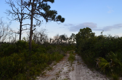
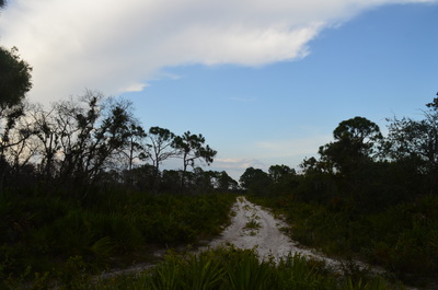
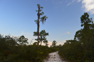
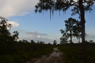
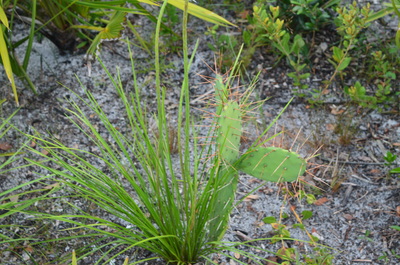
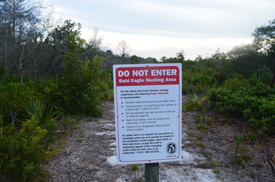
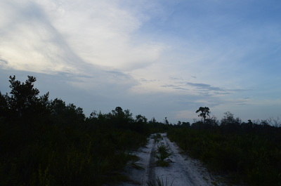
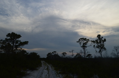
Lake June-in-Winter State Park: Bobcat Trail, Deer Trail, and Eagle Trail, Lake Placid, Florida8/24/2015 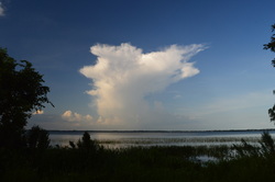 One of the larger lakes in the vicinity of the small town of Lake Placid, Lake June-in-Winter is home to a relatively new state park. Located on the western shore of the lake, the small park has several short trails that showcase the beauty of Lake Wales Ridge, although the condition of the park leaves something to be desired. Lake Wales Ridge is a low ridge that stretches through central Florida. This hike occurred on Sunday, July 12th, 2015. My plan was to hike the main loop in the park that consists of the Bobcat Trail, Deer Trail, and Eagle Trail, and then, time-permitting, to hike the short Tomoka Run Nature Trail. *As of 7/12/15: It appears that the trails on this hike have been abandoned and are no longer official. You can still easily hike these trails, and they will likely be easily-visible for some time. However, please read the information further below on this page, because there are some sections of the trail that are closed to any visitors due to a bald eagle nesting area. It is said to be illegal for any visitors to enter the area that I will mention further below.* SummaryR/T Length of Trail: 3.5 Miles (Please note: the distance here is what is supposed to be the length of the full loop. Some of this loop is now closed, so you will have to come up with your own options for doing this hike. More information can be found below). Duration of Hike: 1:45 Type of Hike: Lasso Difficulty Rating: 2 out of 10 Pros: The hike is on wide, old roads that are easy to see Cons: Lots of confusion due to missing signs; uneven footing due to sand Points of Interest: View of Lake June-in-Winter at the end of the Deer Trail (Please note: this point is currently out of reach. More information can be found below). Trail Blaze Color(s): None Best Season(s) to Hike: Year-round (hot in summer) Beginning Point: Lake June-in-Winter State Park entrance gate Directions: From Lake Placid, FL: From US Highway 27, take Lake June Road westward for 4.2 miles. Then, turn left onto Daffodil Street. Drive for 2 miles to a T-intersection. Daffodil Street ends here. Lake Crews Road is on the right. The entrance to Lake June-in-Winter State Park is on the left. Park outside the gate for this hike, but make sure to pay the $2 fee at the pay station first. If you would like to hike the Tomoka Run Nature Trail, drive down the dirt road that goes into the park to its end at a parking area. You will find the nature trail marked by a sign near the parking area. MapUnfortunately, my GPS failed to record the route of my hike. However, I have seen other illustrations of the route of this hike, so if anyone is interested, I will be glad to show you the route of the hike. If you're interested, feel free to contact me through this website's contact form or send me a message on Facebook. DetailsWhen you think of a state park hike, you would normally imagine an easy stroll on wide trails, or maybe, a moderately strenuous hike on well-maintained trails. However, in Florida, that's not always the case. In fact, Lake June-in-Winter State Park is entirely the opposite. This new state park, opened in 1999, was supposed to become a grand addition to the state parks system, according to the 2004 Master Plan. However, the park looked quite dilapidated, so I guess the park management didn't have funding to improve the park. Fair notice: there is no sign that marks the start of this hike, or at least not anymore, so don't be looking for it. If you follow the directions above, you should be able to find the trailhead. The only signed trail in the park is Tomoka Run Nature Trail. Now, why was the main trail system abandoned? Of course, lack of funding for maintenance may be part of the reason, but really, I think that the primary reason is the bald eagle nesting area by the Deer Trail near the south boundary of the park. There is a certain restricted area, which stretches roughly from the middle of the Deer Trail to the east end of the Deer Trail. There are no signs that suggest the rest of the trail system is closed, but I think that due to the small closure, the rest of the trail system was simply abandoned. It is hikeable, though, as long as you stay out of the restricted area. The hike starts behind a fence at the park entrance gate. You will pick up an old road that is known as the Bobcat Trail. This old road parallels a fence that marks the western boundary of the state park. At 0.1 miles, you will cross through what looks like a small wet area. Actually, this is "Tomoka Run", a small stream. This is the only water you'll see on this hike. The hike continues on a sandy road. At 0.4 miles, reach a junction with the Eagle Trail. You have an option here. Before, this would be the start of a loop, but now, you will have to backtrack no matter which direction you take. The Eagle Trail is prettier, but I suggest doing both trails. Continue straight for another 0.4 miles. You will still be following the fence on the right, and there will be good views of the open sandy land on the left. At 0.8 miles, you reach another junction. There is a dismantled sign laying on the ground here. The Bobcat Trail continues straight to the south boundary of the park - I didn't go there. The Deer Trail turns left, headed for Lake June-in-Winter, although it hits the restricted area soon. Turn left. For the next 0.3 miles, the trail is out in the open sandy desert. Watch for animal tracks - you can spot quite a few in the white sand on the trail. At 1.1 miles, you reach a sign, which says that no visitors are permitted beyond this point due to a bald eagle nesting area. Before, you could continue the loop, but now, you will have to backtrack. It is 0.7 miles back to the Eagle Trail. The rest of the mileage below is from the Bobcat Trail/Eagle Trail junction. From the junction, the Eagle Trail heads right away into the sandy desert with great views. The footing is quite rough and uneven on this trail, as the sand gets pretty deep. I saw both bear tracks and deer tracks in the sand on this trail. 0.4 miles from the junction, you reach an intersection. There are some dismantled signs here. Turn right - the road that continues straight is a dead-end. In another 0.5 miles, 0.9 miles from the Bobcat Trail, you will reach the Deer Trail and the restricted area. Retrace your steps from here back to the trailhead. VariationsHike just the Bobcat Trail and Deer Trail - 2.2 Miles Hike just the Bobcat Trail and Eagle Trail - 2.6 Miles Bonus Stops
Pictures
0 Comments
Leave a Reply. |
About MeMark Oleg Ozboyd Dear readers: I have invested a tremendous amount of time and effort in this website and the Georgia Waterfalls Database the past five years. All of the work that has gone in keeping these websites updated with my latest trip reports has almost been like a full-time job. This has not allowed me to pick up a paid job to save up money for college, and therefore, I I've had to take out loans. If you find the information on this website interesting, helpful, or time-saving, you can say "thanks" and help me out by clicking the button above and making a contribution. I will be very grateful for any amount of support you give, as all of it will apply toward my college tuition. Thank you!
Coming in 2022-2023?
Other Hiking WebsitesMiles HikedYear 1: 540.0 Miles
Year 2: 552.3 Miles Year 3: 518.4 Miles Year 4: 482.4 Miles Year 5: 259.9 Miles Archives
March 2021
Categories
All
|


 RSS Feed