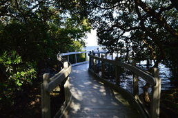
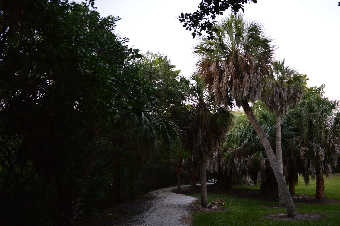
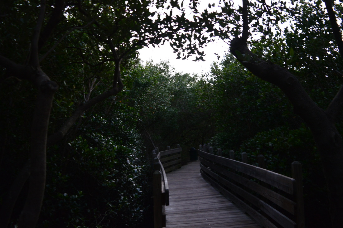
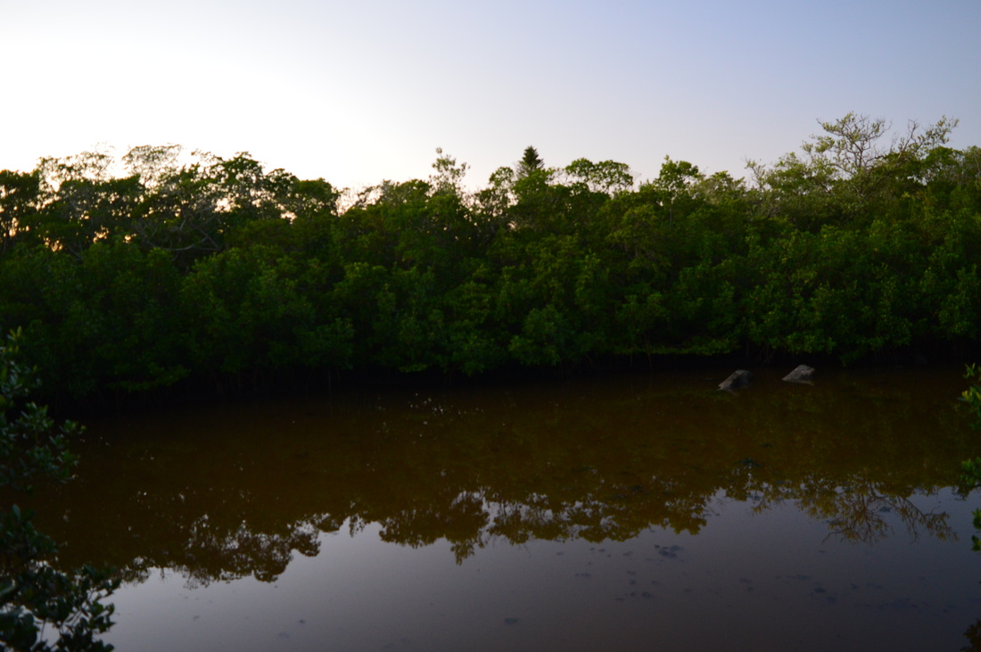
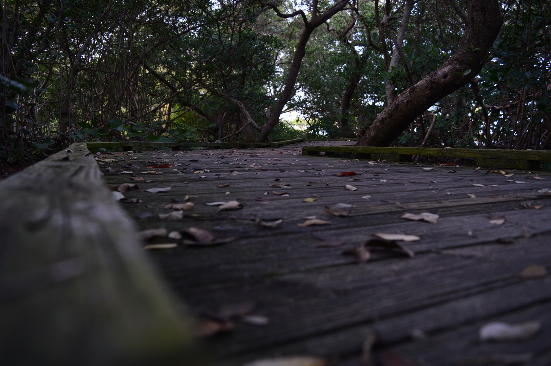
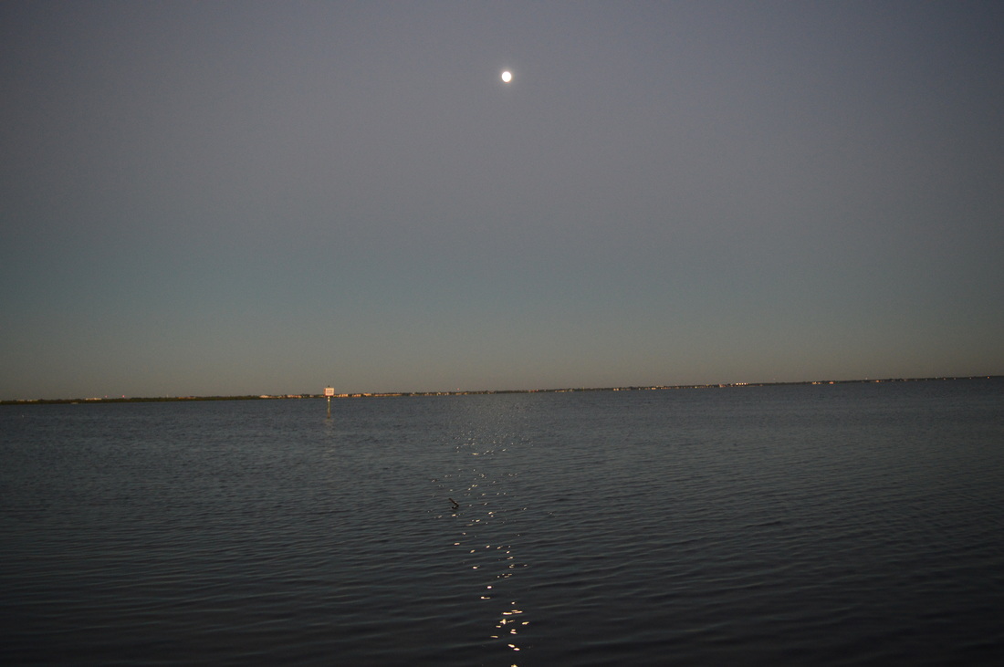
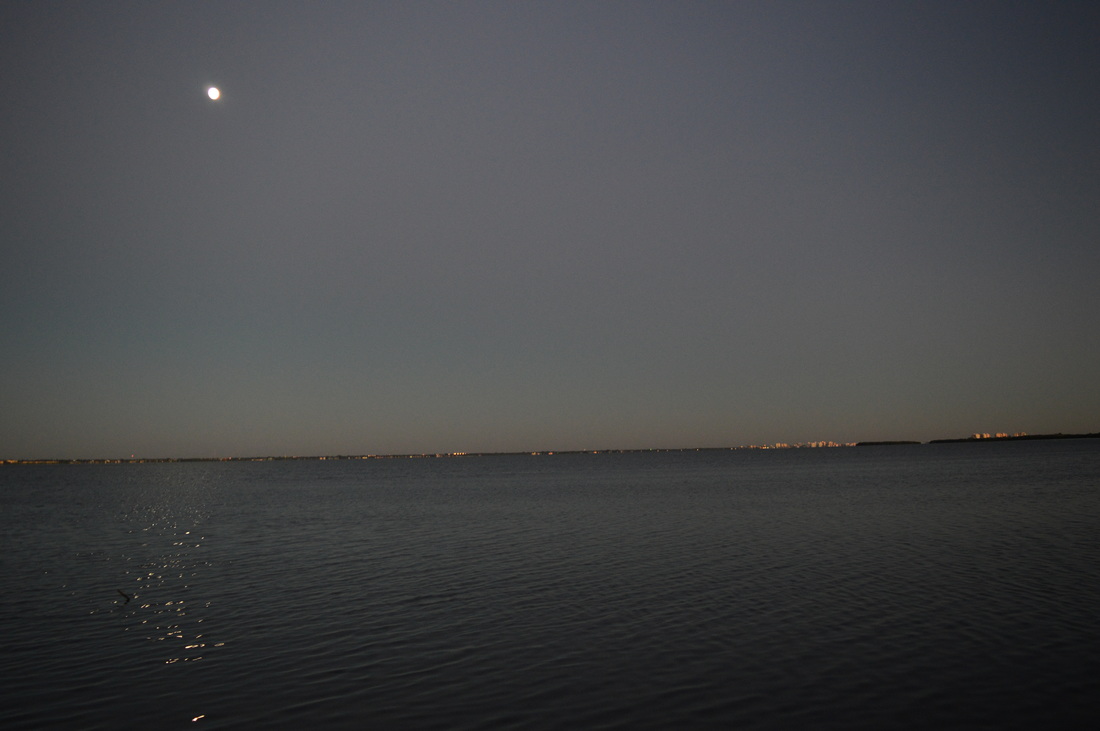
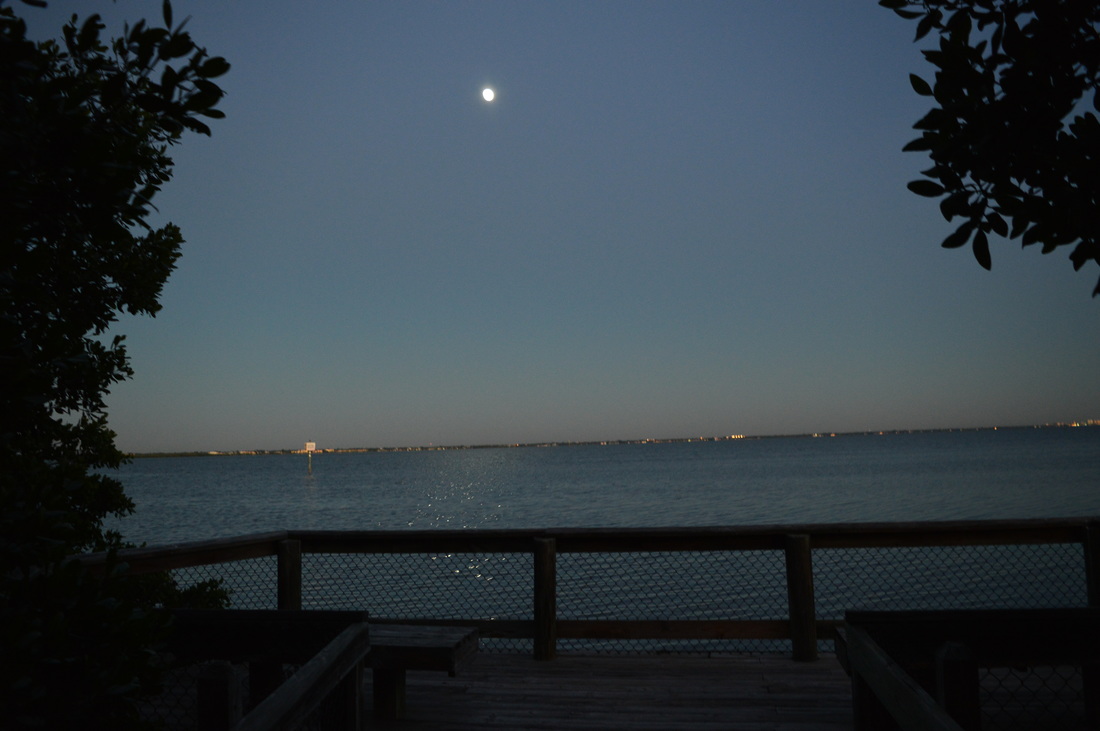
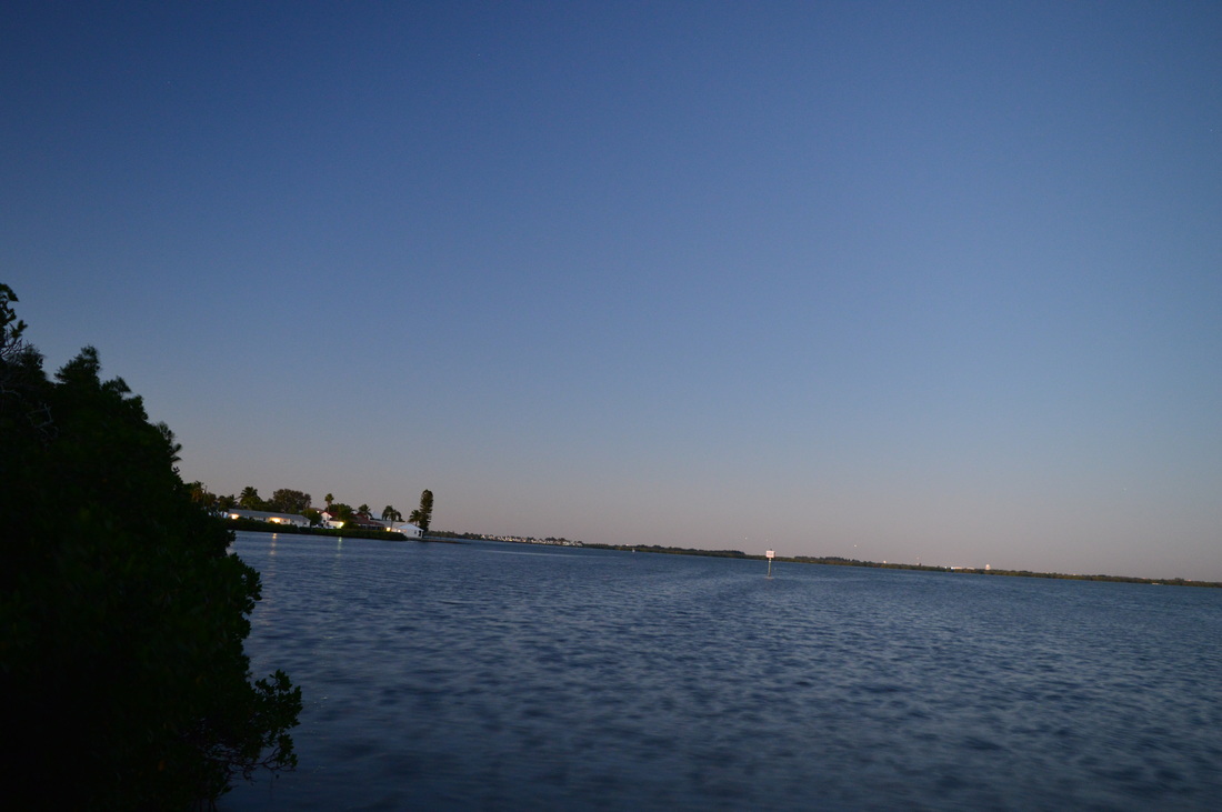
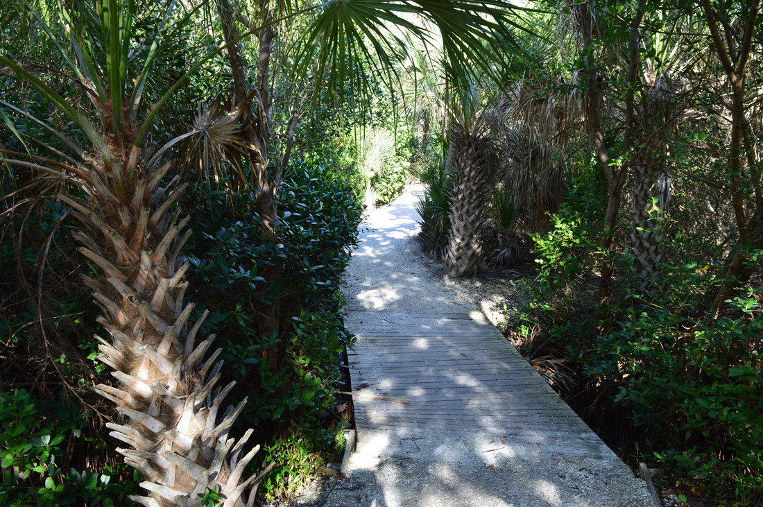
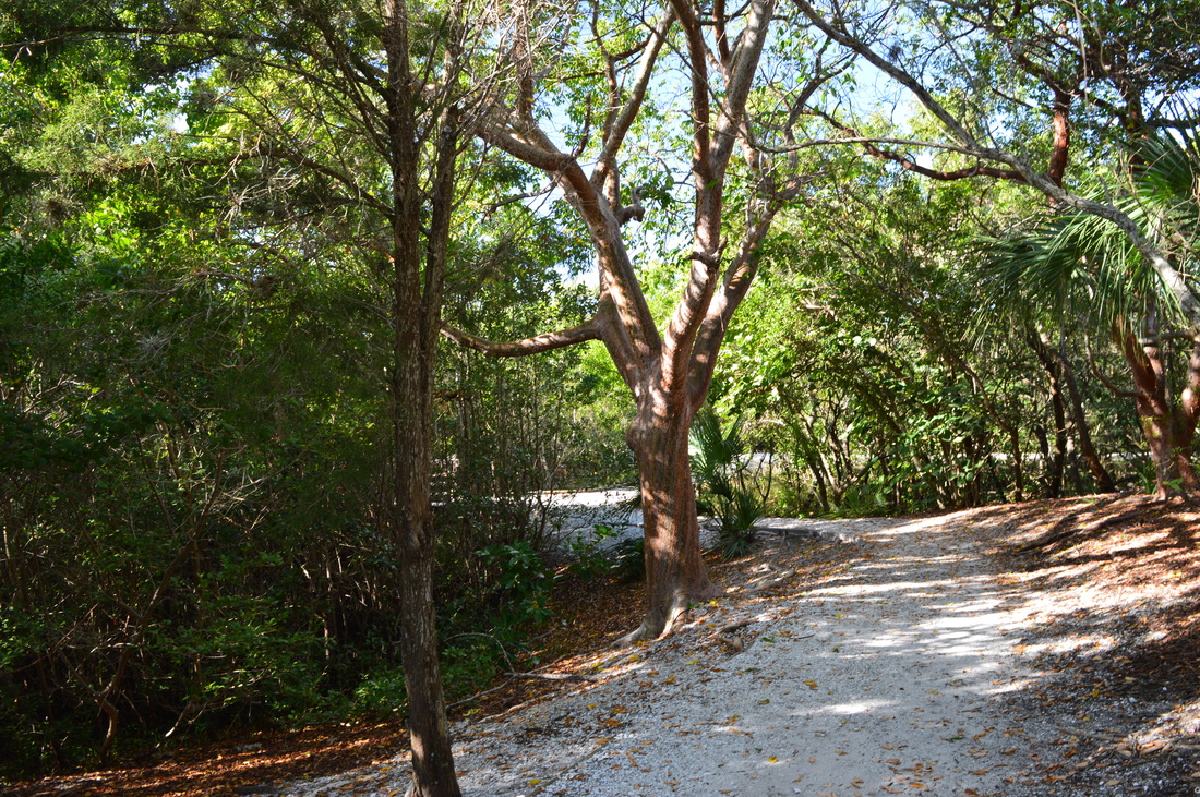
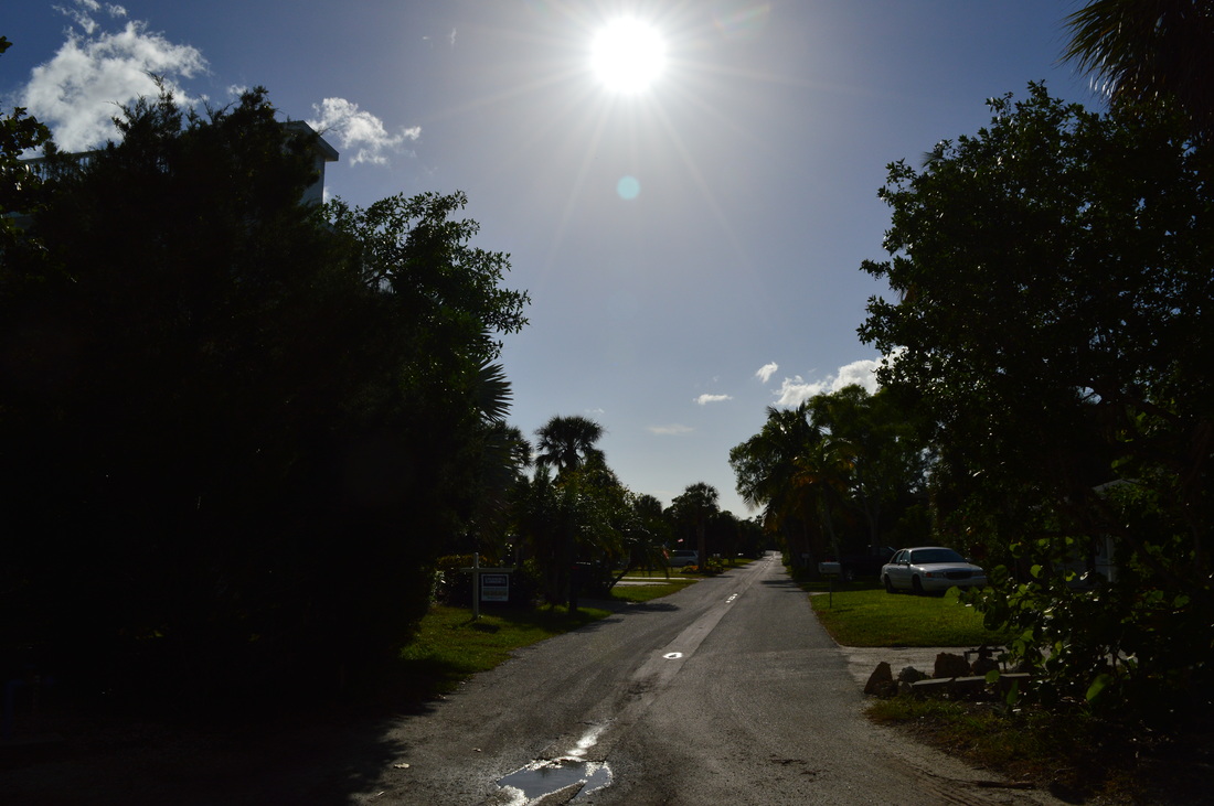
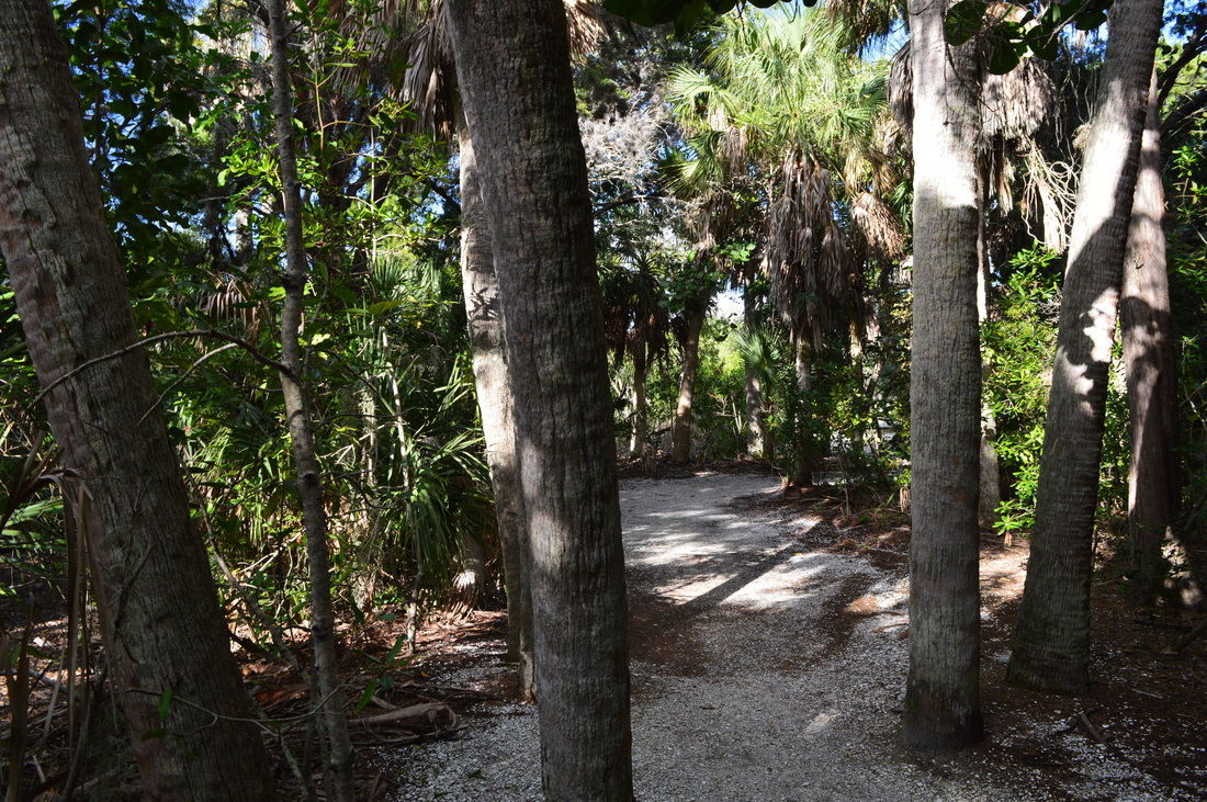
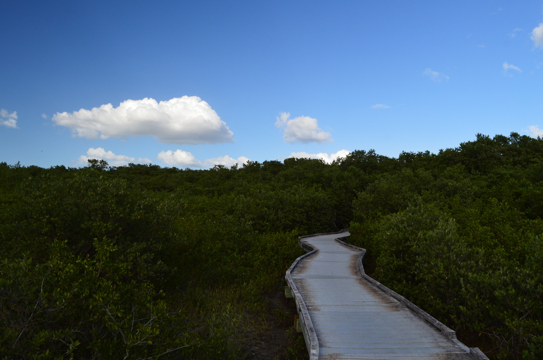
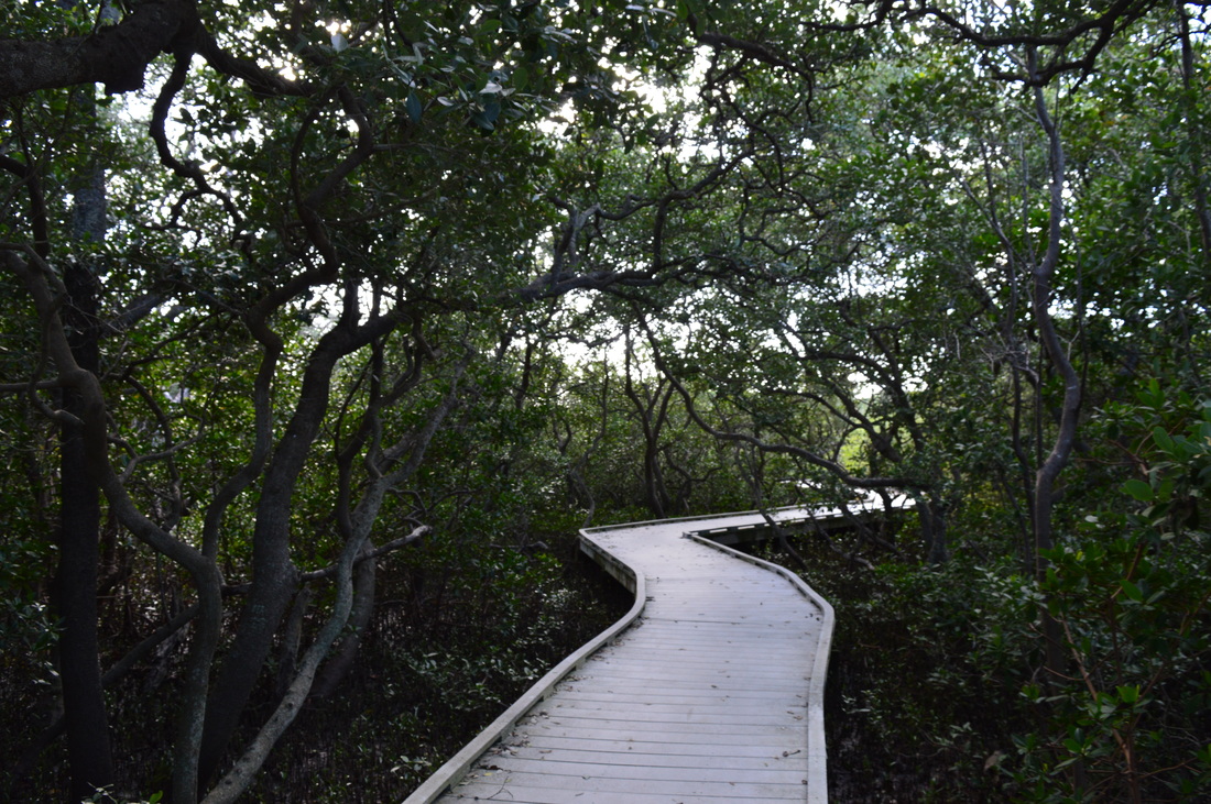
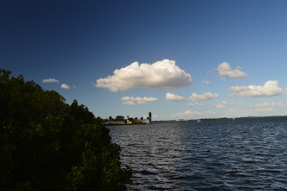
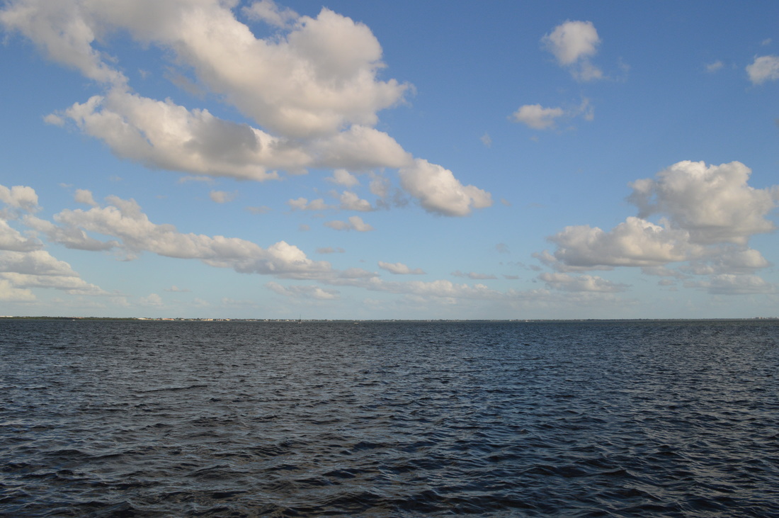
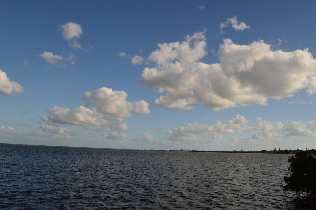
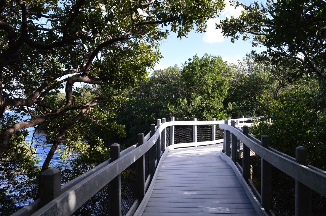
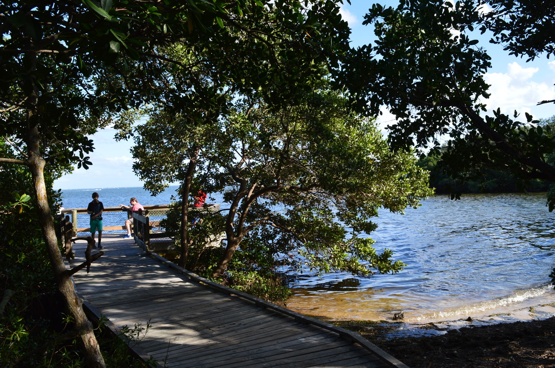
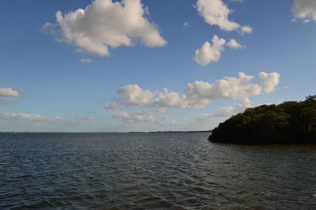
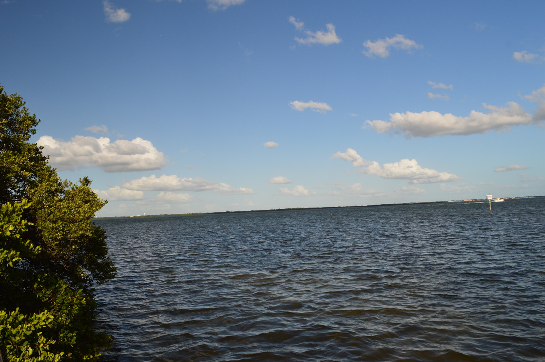
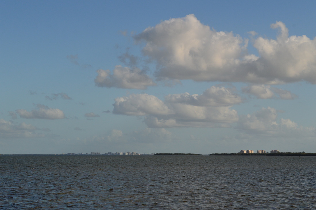
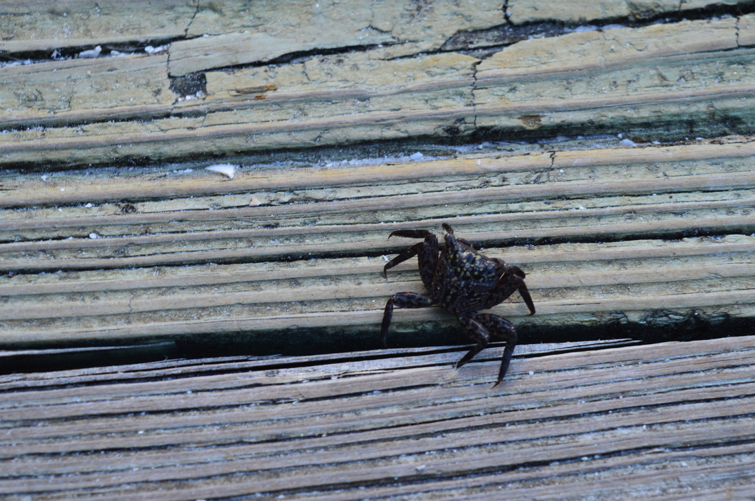
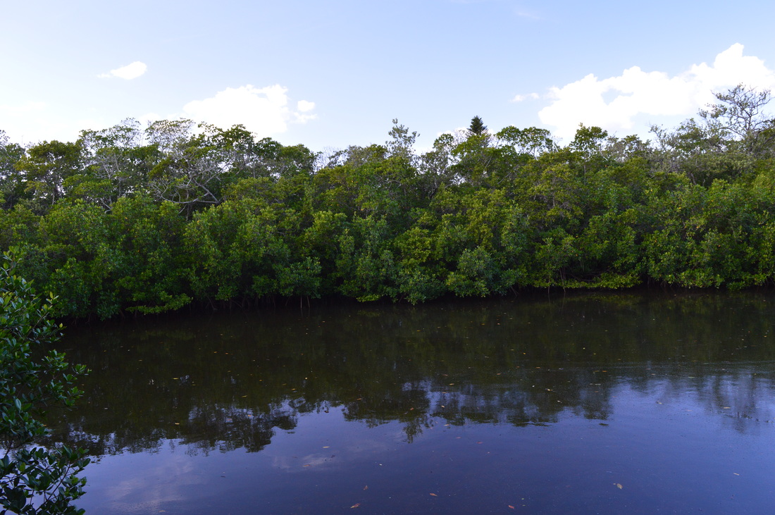
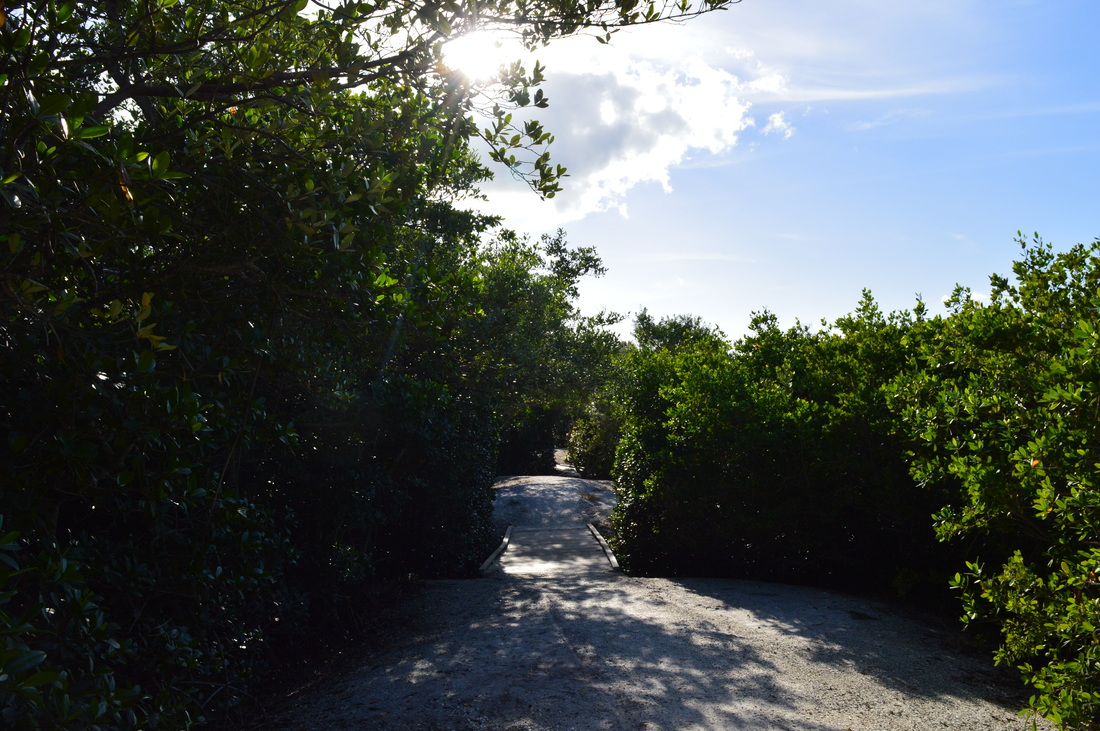
 The barrier island of Longboat Key is home to a series of upscale development along the Longboat Key beach, generally referred to as the town of Longboat Key. By now, nearly the entire island is developed with very few of the native salt marshes and mangrove jungles left. Joan M. Durante Park preserves one of the last wild spots on Longboat Key, a place where you can hike on easy nature trails through salt marshes to the mangrove-lined shores of Sarasota Bay. This hike occurred on Monday, November 23rd, 2015. My plan was to hike the largest loop of the nature trails in Joan M. Durante Park. SummaryR/T Length of Trail: 1.1 Miles Duration of Hike: 0:35 Type of Hike: Loop Difficulty Rating: 1 out of 10 Pros: None Cons: None Points of Interest: Two observation platforms of Sarasota Bay at the east end of the preserve Trail Blaze Color(s): None Best Season(s) to Hike: Year-round Beginning Point: Joan M. Durante Park Trailhead Directions: The park is located in the city limits of the town of Longboat Key, FL. The entrance is on FL State Route 789 (Gulf of Mexico Drive), 2.6 miles south of the drawbridge between Longboat Key and Anna Maria Island, and 7.4 miles north of the drawbridge between Longboat Key and City Island/St. Armands Key. MapA map and some other information regarding this hike can be viewed here. DetailsBesides the locals, few people are aware of the small but rewarding trail system that this park has to offer. It's a place that you do not see listed in any hiking guidebooks or websites. It's a nature trail that is rarely talked about in hiking groups. In fact, unless you happen to pass by the park and decide to drive in and explore, you're unlikely to be aware of the nature trails here. To start the hike, you'll have to drive down the entrance road to the park and park at the turnaround near the pond and fountain. The hike starts on the broad shell path that goes from the parking area. The shell path is unmarked. Near the beginning, a small footbridge on the left leads to the playground area. Continue straight on the broad shell path that curves around a large mowed area. A channel of water is located on the left. Soon, you'll see a path come in from the left over a small footbridge - this leads back to the playground as well. After this, the mowed area is left behind as you cross a footbridge over a creek and then continue onto a boardwalk. A lagoon has taken the place of the creek to your left. At 0.15 miles, reach the start of the loop. I hiked the loop clockwise, so keep left on the boardwalk. Pass by a shelter, and then cross over a finger of the lagoon on a footbridge. The shell paths continues for a bit. At 0.25 miles, turn sharply right onto a boardwalk that traverses the mangrove-lined shores of Sarasota Bay. Sarasota Bay is visible to your left through the dark mangrove jungle. At 0.3 miles, the first observation platform is located to the left on a short spur. The view of Sarasota Bay is excellent, with the city of Sarasota visible at the far end. After this observation platform, return back to the boardwalk and continue twisting through the mangrove jungle. At 0.35 miles, turn left onto a footbridge across a lagoon. Do not continue straight - it is a shortcut back to the parking area. On the other side of the footbridge, there is a bench with a view of Sarasota Bay.Diving back into the coastal mangrove jungle, the typical odors of a salt marsh will waft into your nose. At 0.45 miles, a spur on the left leads to the second observation platform. The view of Sarasota Bay is similarly good, and although you may find more solitude at this second observation platform, it's hard to say which view is better. Return to the main boardwalk, and soon leave the mangroves. The boardwalk heads out into an open area - some private residences are visible nearby. The boardwalk ends and the trail heads back into forest before crossing some creeks at the head of a lagoon at 0.65 miles. At 0.7 miles, there is a confusing intersections with a number of shell paths and an old road. The old road going right is a shortcut. The shell path that goes to the left is a dead-end at the park boundary in a thick forest. Not knowing where it led, I followed it, adding 0.1 miles to the route. Back at the intersection at 0.8 miles, take the shell path that goes slightly uphill. Top a small hill and then descend back, joining the old road shortly. In summer, in this section the sun will be beating down on you mercilessly. At 0.9 miles, reach the park boundary at Gulf Bay Road. Gulf Bay Road is a residential lane that is off Gulf of Mexico Road. Continue past the road on a wide shell path. Shortly, bear left (the shell path that bears right leads back to Sarasota Bay). At 0.95 miles, reach the end of the loop. Turn left, and return to the parking area at 1.1 miles, completing this short walk out to one of the last undeveloped sections of Longboat Key. VariationsWalk out and back to the first observation area, if you really don't have time for anything else - 0.6 Miles Bonus StopsThe Coquina Baywalk at Leffis Key on the southern tip of Anna Maria Island is a walk similar to this one, a walk I did only a few days later. PicturesUpdate 11/27/15Later in the week, I decided to redo the nature trail at Joan M. Durante Park at a earlier time to get better pictures. This time, I hiked the loop counter-clockwise. I also did the trails at Leffis Key the same day. Videos
0 Comments
Leave a Reply. |
About MeMark Oleg Ozboyd Dear readers: I have invested a tremendous amount of time and effort in this website and the Georgia Waterfalls Database the past five years. All of the work that has gone in keeping these websites updated with my latest trip reports has almost been like a full-time job. This has not allowed me to pick up a paid job to save up money for college, and therefore, I I've had to take out loans. If you find the information on this website interesting, helpful, or time-saving, you can say "thanks" and help me out by clicking the button above and making a contribution. I will be very grateful for any amount of support you give, as all of it will apply toward my college tuition. Thank you!

Coming in 2022-2023?
Other Hiking WebsitesMiles HikedYear 1: 540.0 Miles
Year 2: 552.3 Miles Year 3: 518.4 Miles Year 4: 482.4 Miles Year 5: 259.9 Miles Archives
March 2021
Categories
All
|


 RSS Feed