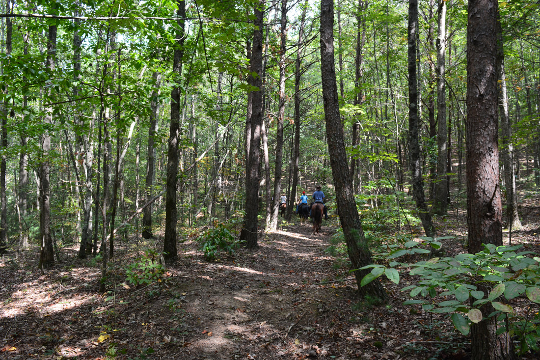
The Iron Mountain Loop is one of the less-used trails in the Cohutta Mountains. Most folks who visit the Conasauga River choose to hike the Conasauga River Trail #11 in the Cohutta Wilderness proper, well above the Jacks River confluence. On the other hand, the Iron Mountain Trail combines with Cherokee National Forest's Conasauga River Trail #61 to showcase a much broader and equally pristine section of the Conasauga River below the Jacks River confluence, where two mighty mountain rivers join into one. Although much of the Iron Mountain Trail is just a peaceful wooded walk across the slopes of Iron Mountain, a small vista at the halfway point offers a welcome break with a view of the West Cowpen Ridge that forms the Cohutta Wilderness boundary. The Iron Mountain Loop has only one downside: it gets a fair amount of equestrian traffic. This hike occurred on Saturday, September 23rd, 2017. My plan was to hike the Iron Mountain Loop clockwise by first following the Iron Mountain Trail from Cottonwood Patch Campground and then hiking the Conasauga River Trail to FS 221. The loop would be concluded with a short roadwalk along FS 221 and FS 16.
Summary
R/T Length of Trail: 11.7 Miles
Duration of Hike: 6:30 Type of Hike: Loop Difficulty Rating: 7 out of 10 Total Elevation Gain: 1908 Feet Pros: Pristine river views Cons: Above average equestrian use (due to multi-use trail status) Points of Interest: Iron Mountain View - 3 stars; Numerous views of the Conasauga River along the Conasauga River Trail Trail Blaze Colors: Iron Mountain Trail - Green Diamonds (Horse Symbol) and Yellow Diamonds (Bike Symbol); Conasauga River Trail - White Best Seasons to Hike: Fall Fees: None (fees are charged only for folks staying in the campground) Beginning Point: Day Use Parking in Cottonwood Patch Campground Directions from Chatsworth, GA: From the intersection of US Route 411 and GA Route 52 (Fort Street) in downtown Chatsworth, follow US-411 North for 13.2 miles. Then, in the community of Cisco, turn right onto Old Highway 2, also known as County Road 392. The road will turn into unpaved FS 16, but it is in excellent condition. Follow it for 7.8 miles, and then, turn left onto FS 16A at a sign for the Iron Mountain Trail. In 400 feet, as the road enters Cottonwood Patch Campground, turn left at a "Day Use Only" sign and park in the grassy clearing. Map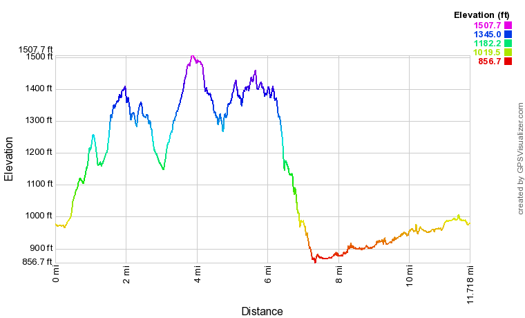
Click the link below to download a .GPX file with a track of this hike.
Details
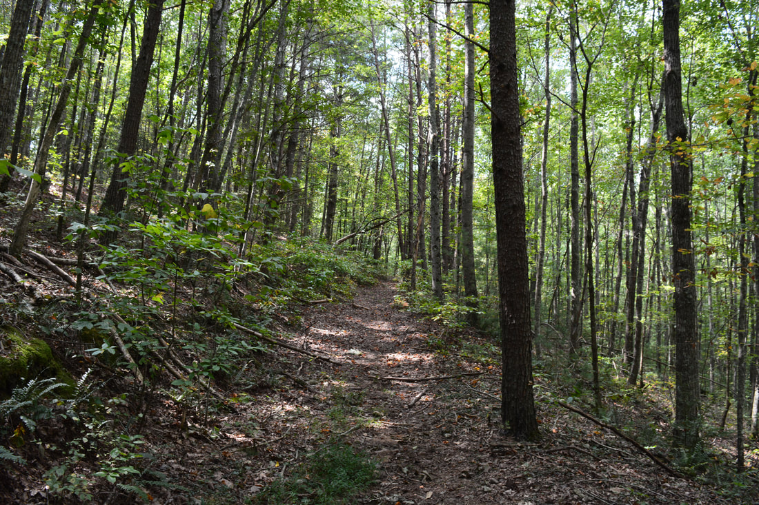
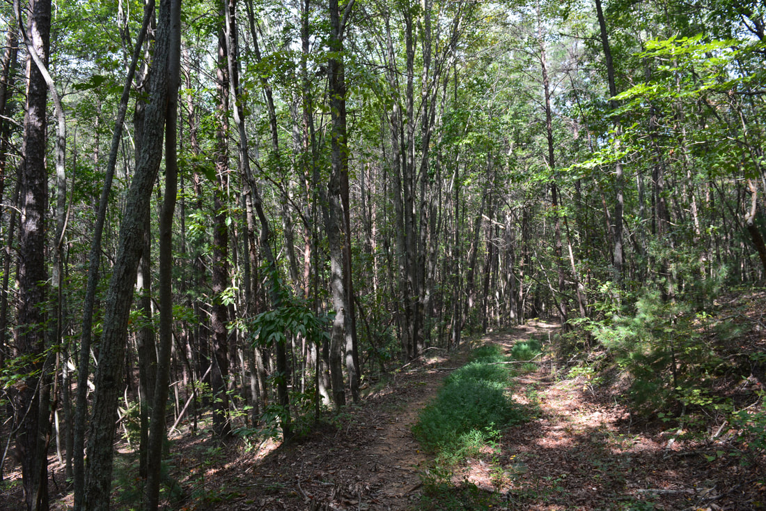
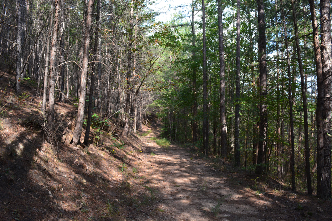
For some reason, stand-alone trails outside of the Cohutta Wilderness in the adjacent Chattahoochee National Forest/Cohutta Wildlife Management Area are generally rarely hiked. The spectacular Emery Creek Trail is a major exception, but other trails like the South Fork Trail, Mountaintown Creek Trail, and Sumac Creek Trail are seldom talked about. The Iron Mountain Trail makes that list as well. Even though a drawback of the Iron Mountain/Conasauga River Loop is that it receives a relatively high amount of equestrian use, this multi-use trail is still suitable for and open to hikers. Much of the trail follows the peaceful wooded slopes of Iron Mountain with few views, but the last several miles along the Conasauga River are gorgeous.
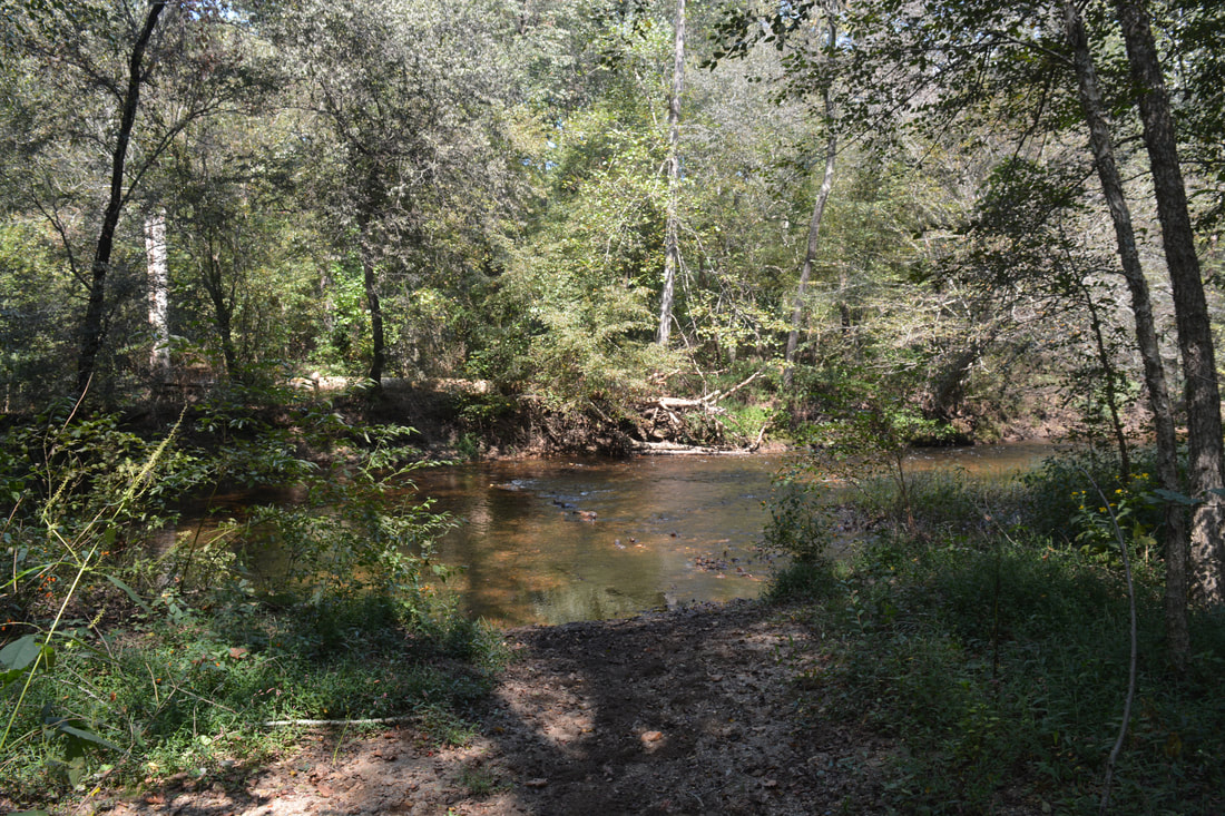
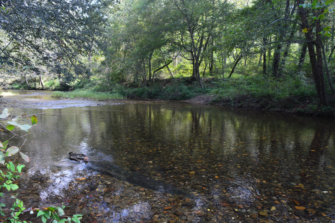
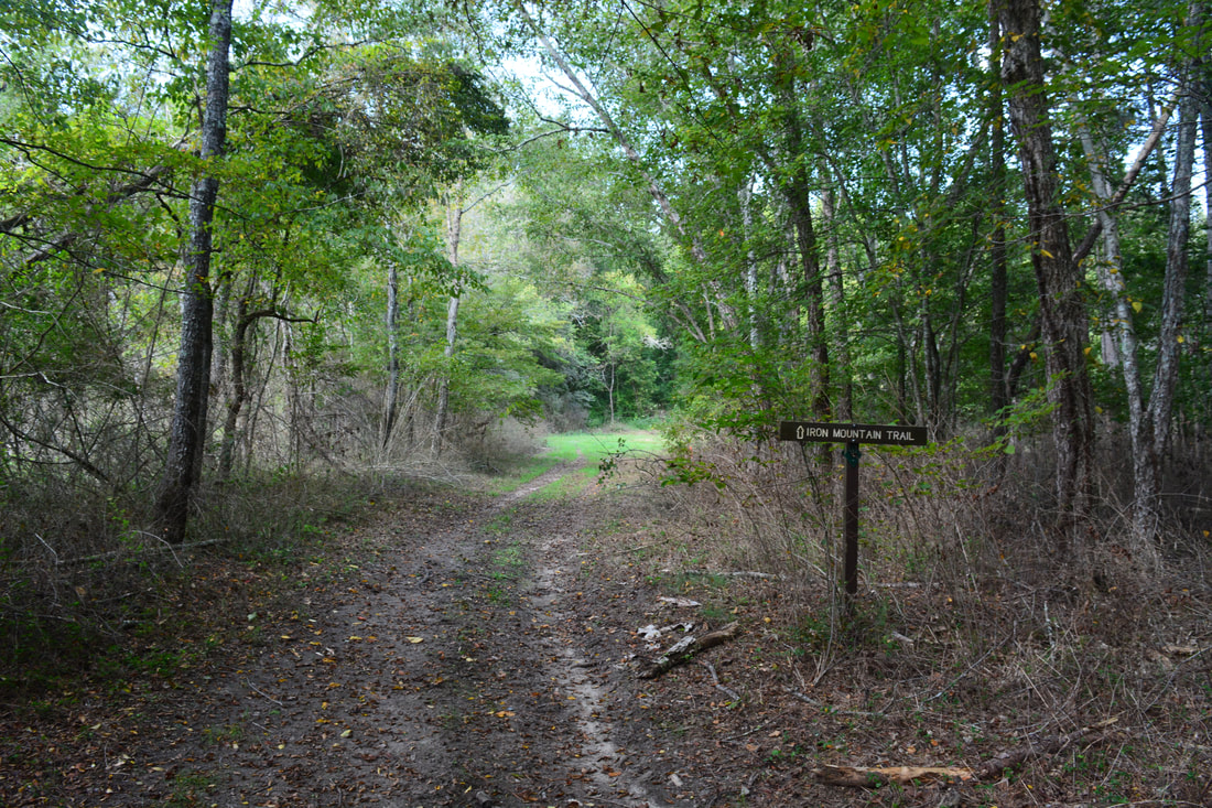
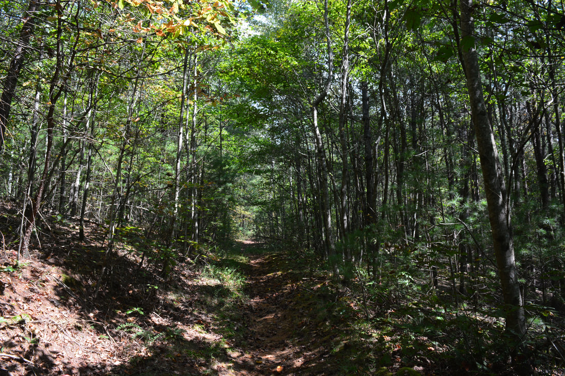
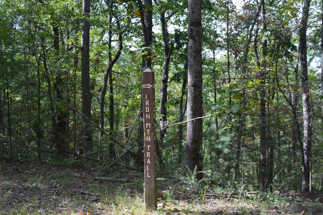
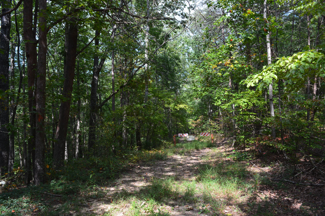
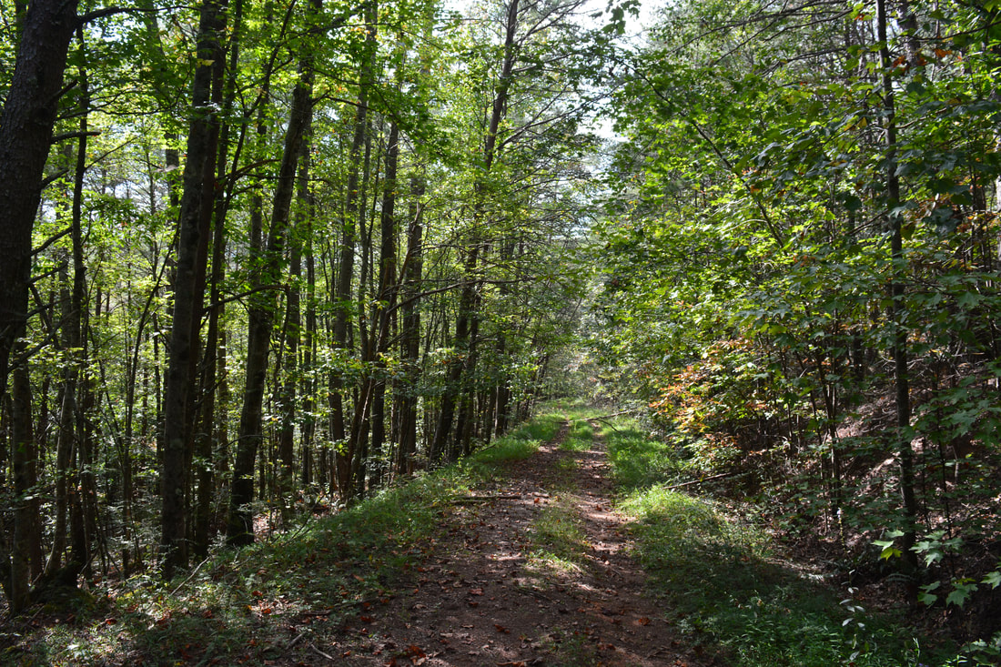
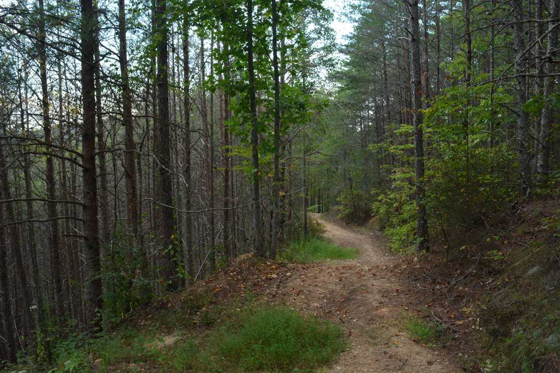
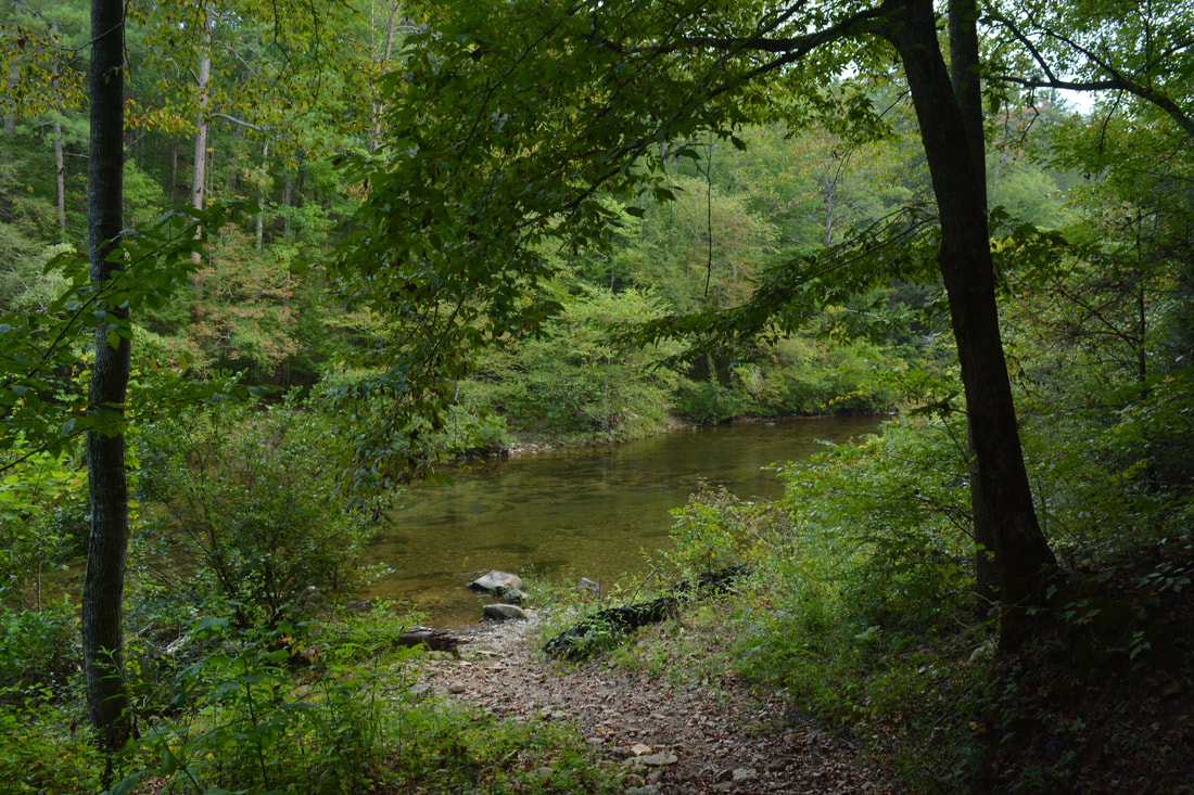
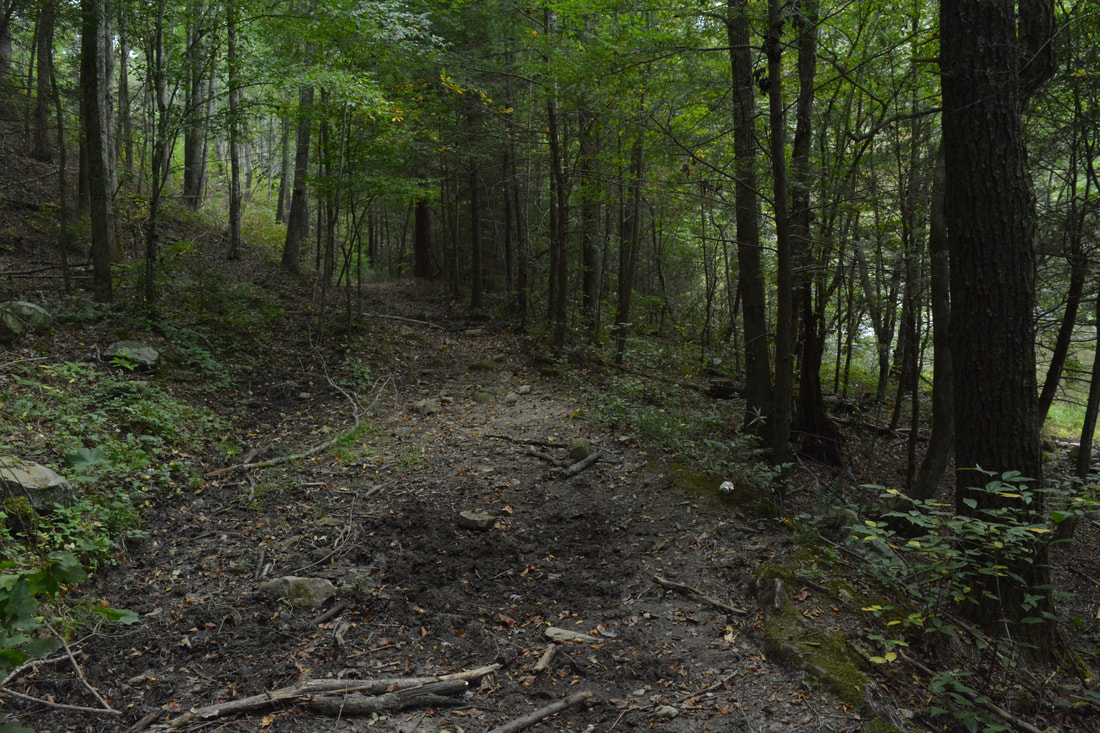
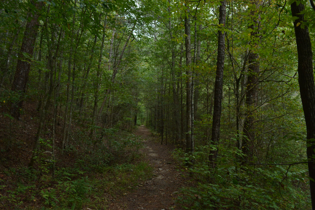
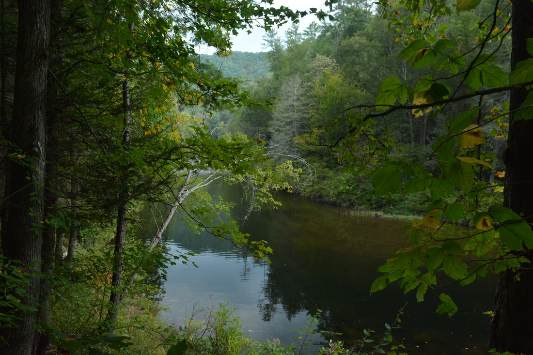
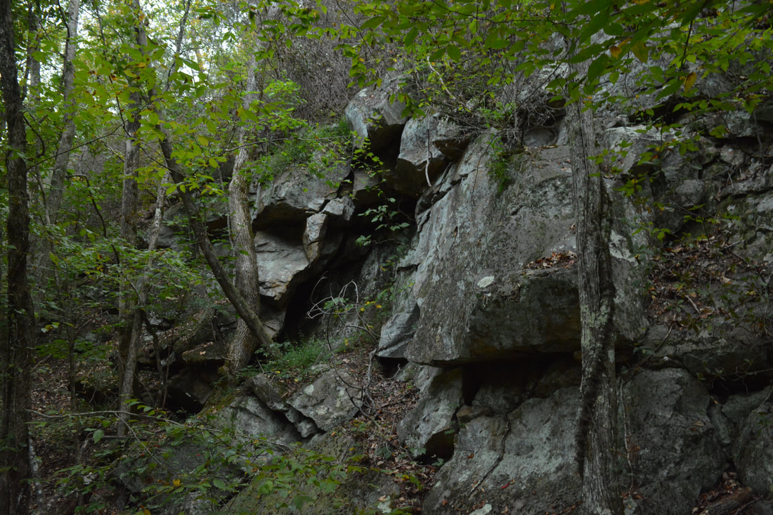
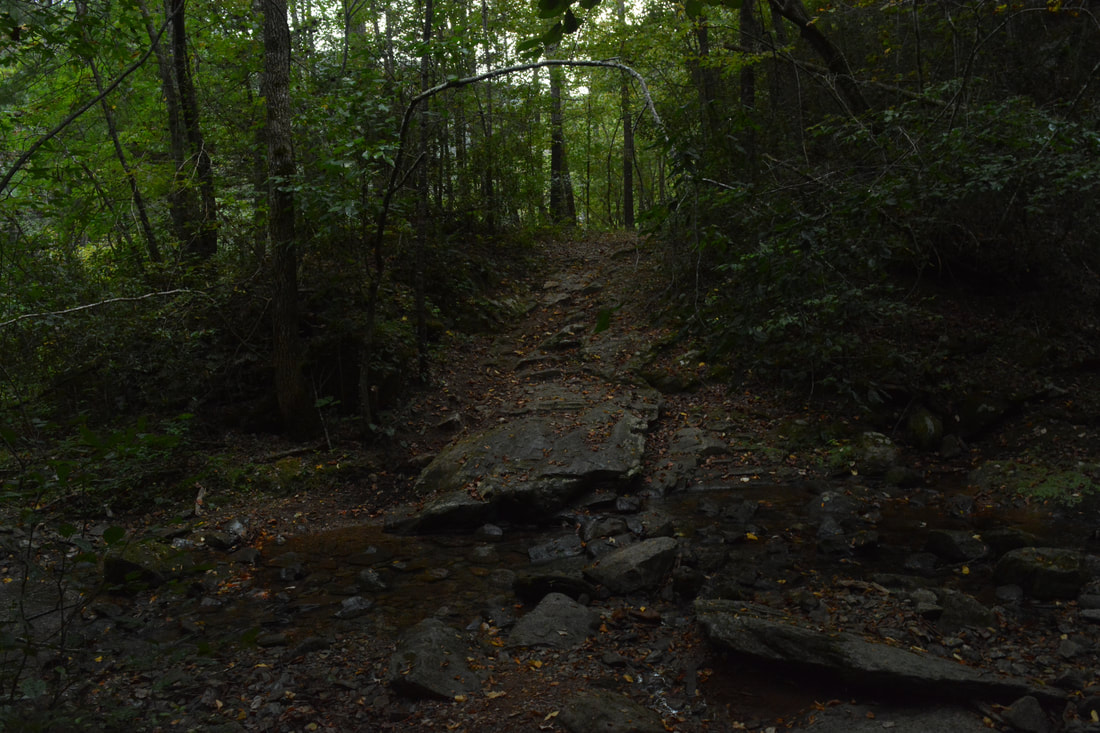
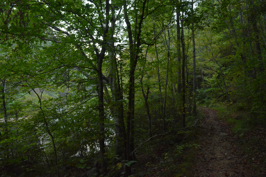
Begin the hike by walking along FS 16A through Cottonwood Patch Campground. At the far end of the campground (about 0.1 mile), the Iron Mountain Trail begins as a narrow path parallel to the mellow Conasauga River. A carsonite stake with the trail number #77 and a multi-use trail courtesy sign mark the start of the trail. At 0.25 miles, the trail comes to a ford of the Conasauga River. This is one of two fords of the river along the trail - the other comes much later in the hike. This ford of the Conasauga is normally shallow (below knee-level) and always easy as the Conasauga River is calm and flat in this area as it flows through Alaculsy Valley. There are no big slippery rocks underfoot either. On the other side, the trail shortly bears left at a sign on a forest road. After passing through a gap in the forest with wildlife clearings on both sides of the trail, the trail bears left again and leaves the broad forest road. This is where a moderate ascent of Iron Mountain begins. The trail appears to follow pieces of old forest roads and interchanges between single-track and double-track. At 1.15 miles, the ascent is briefly interrupted by a steep and rather pointless downhill. As the Iron Mountain Trail crests a small lead going down from Iron Mountain at 1.7 miles, you can see the knife-edge of Iron Mountain to the right. The sharp summit of Iron Mountain likely has good views when the leaves are off the trees, but no trail leads there. After crossing the lead, the trail reaches a temporary high point and begins descending after contouring along the slopes for a short distance. At 2.5 miles, the Iron Mountain Trail crosses a small knob following a gap. The trail then turns west at 2.7 miles and begins descending into the Gizzard Branch valley. Even though the trail descends 150 feet in the next 0.4 miles, it levels out just short of Gizzard Branch. After this, the trail broadens into a forest road and ascends at an easy to moderate grade a ridge below Doogan Mountain on its way to FS 1. The highest point on the hike (about 1500 feet) comes at 3.9 miles. Shortly afterwards, a sign points the trail on a sharp right where it reaches gated FS 1A. FS 1 itself is just to the left. To stay on the trail, turn right again onto FS 1A, walk around the gate, and begin a relaxing 0.75-mile downhill along the double-track forest road. The road crosses a tiny culverted stream at 4.6 miles and soon passes a few mossy rock outcrops on the left. The downhill ends at a forest road split at 4.75 miles. One forest road continues straight, but you must keep right across the culverted stream once again to stay on the Iron Mountain Trail. 
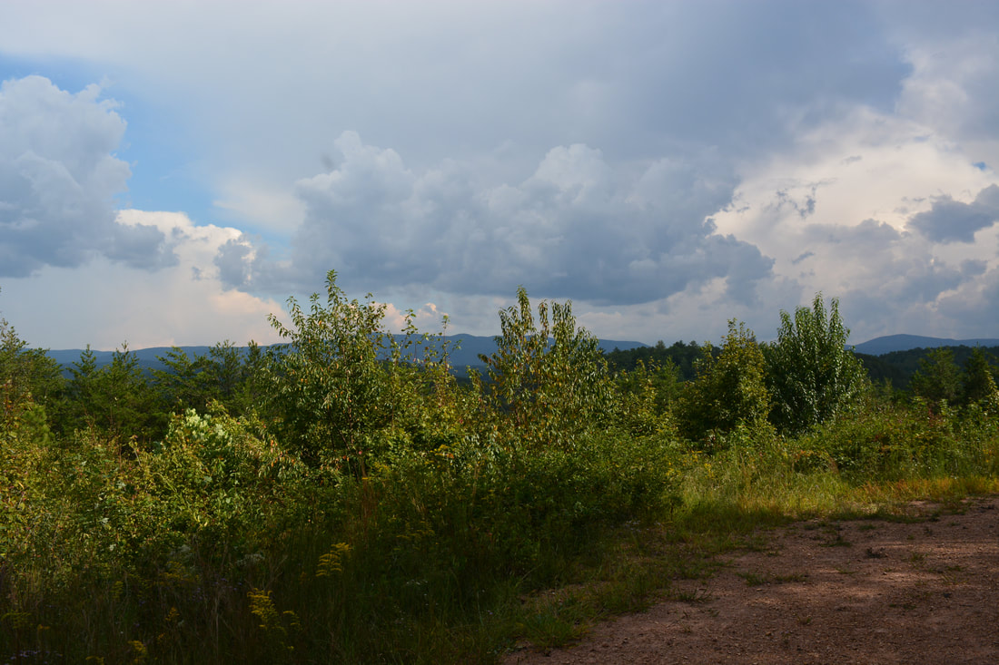
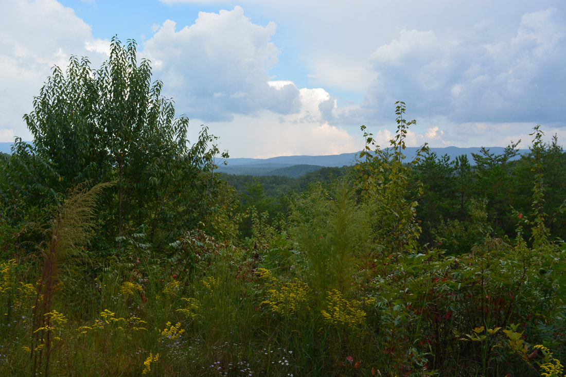
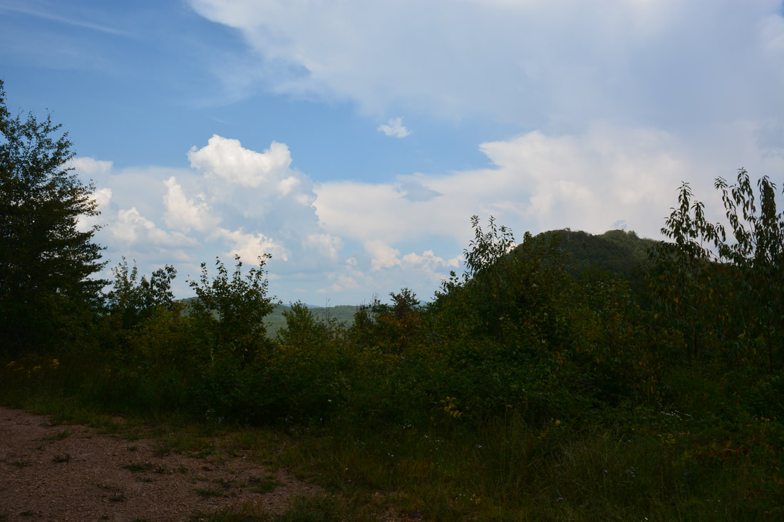
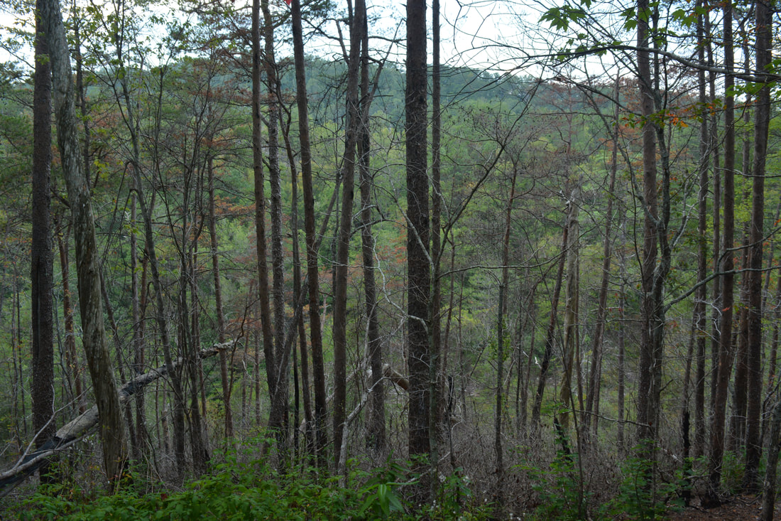
At mile 6.1 on the Iron Mountain Trail, there is a pretty view of West Cowpen Ridge (the official west boundary of the Cohutta Wilderness).
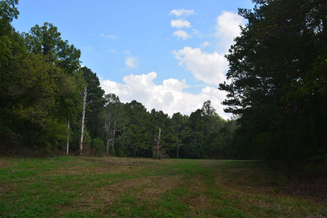
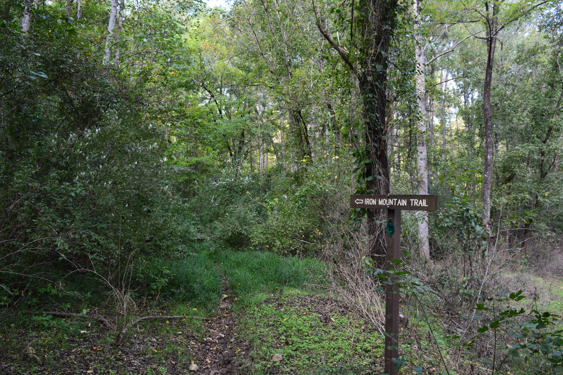
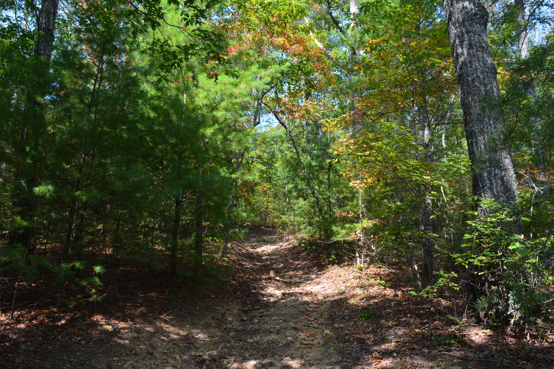
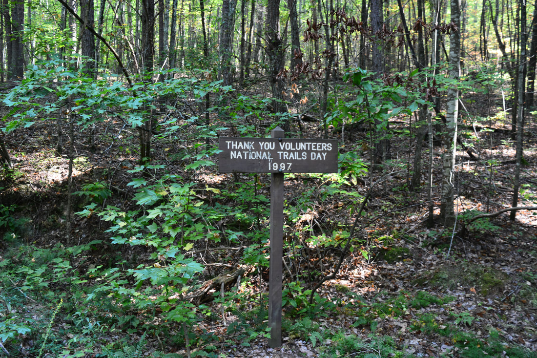
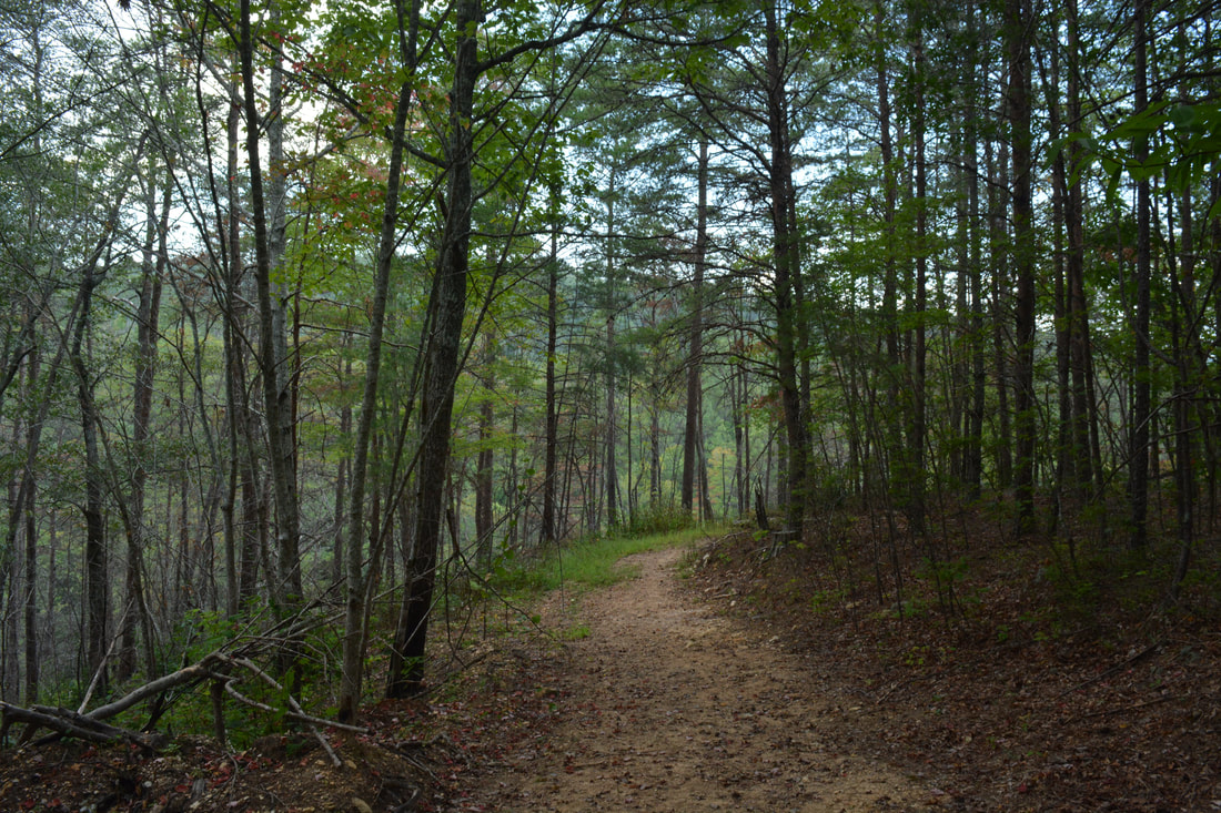
The Iron Mountain Trail continues following the double-track forest road with a series of easy ups and downs. Another forest road branches left at 4.9 miles - stay right. A bit farther, the trail passes near the top of a hill on the left that appears to have been logged. As the trail follows the slopes on the north side of an unnamed ridge, you'll pass a sign that commemorates the help of volunteers on National Trails Day 1997 for building this trail. The trail crosses the ridge through a gap at 5.7 miles and then passes through a particularly pleasant piney stretch before reaching the wildlife clearing with the Iron Mountain View at 6.1 miles. Unfortunately, the clearing is getting overgrown - especially in the summer - but it is still a nice view thanks to the steep slope it's on. You can see the outline of the West Cowpen Ridge blocking the horizon to the east. Straight ahead is the towering pinnacle of Iron Mountain. There is also a limited view into Tennessee and the Conasauga River valley to the left of Iron Mountain.
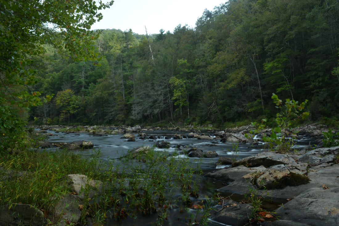
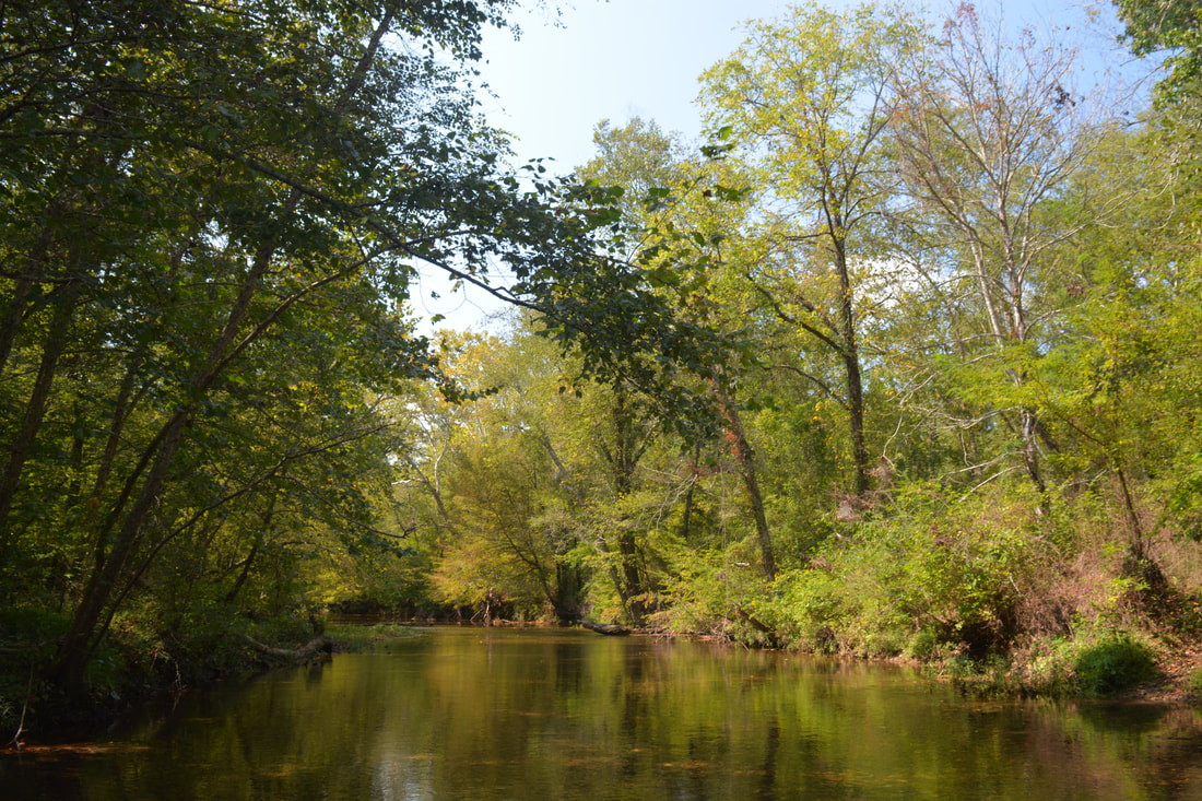
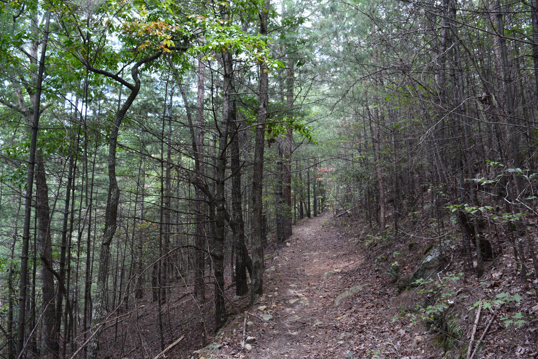
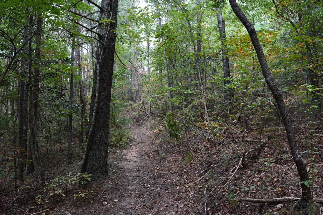
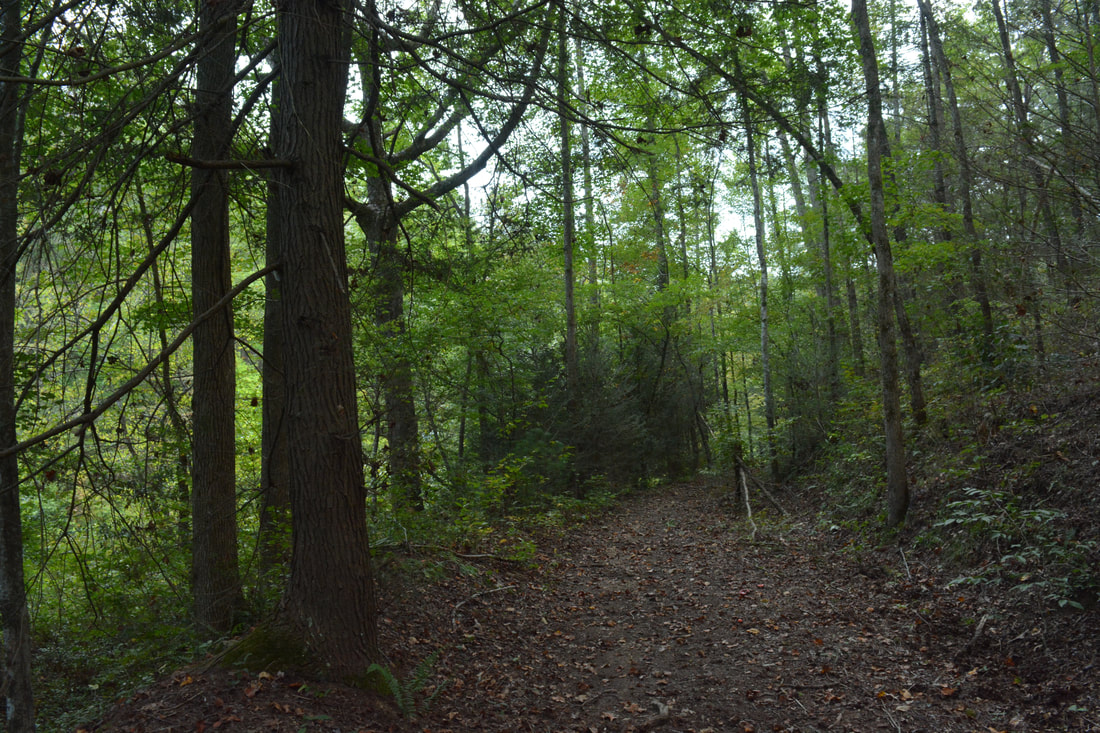
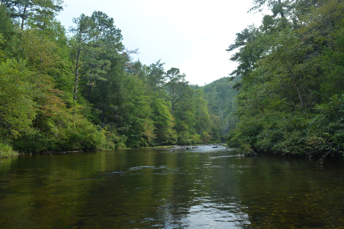
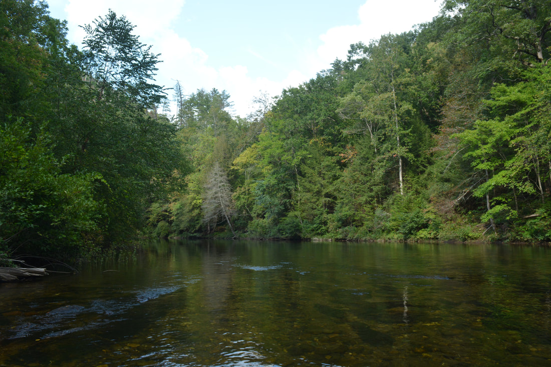
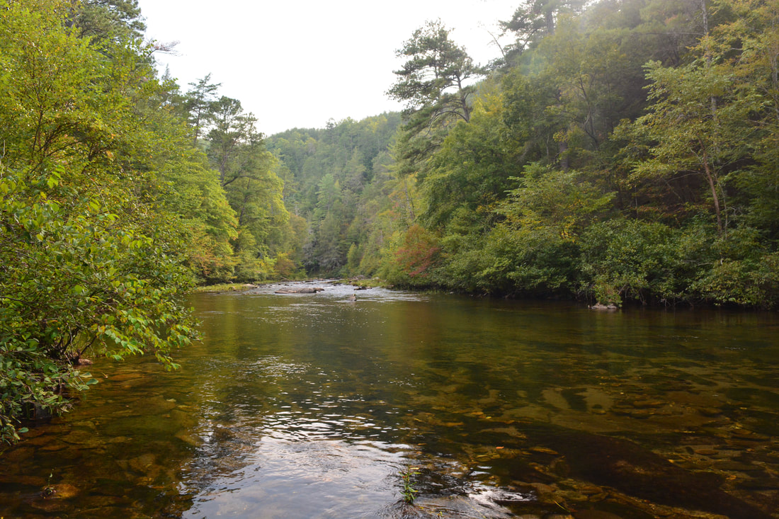
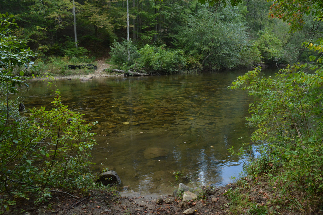
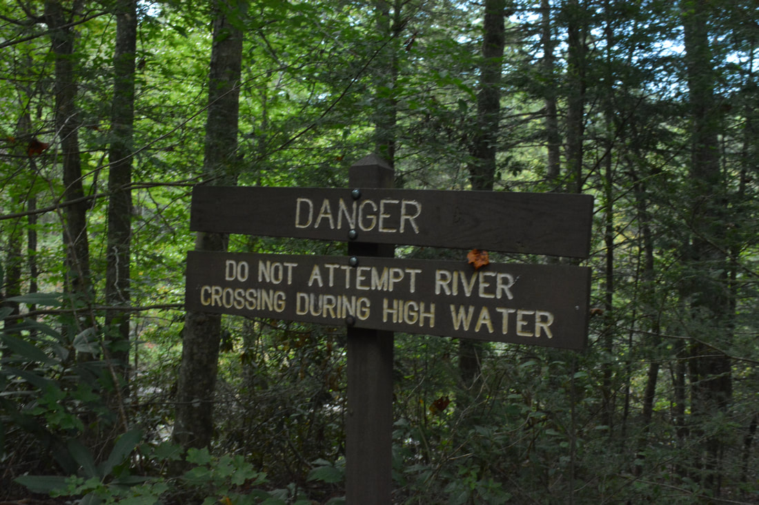
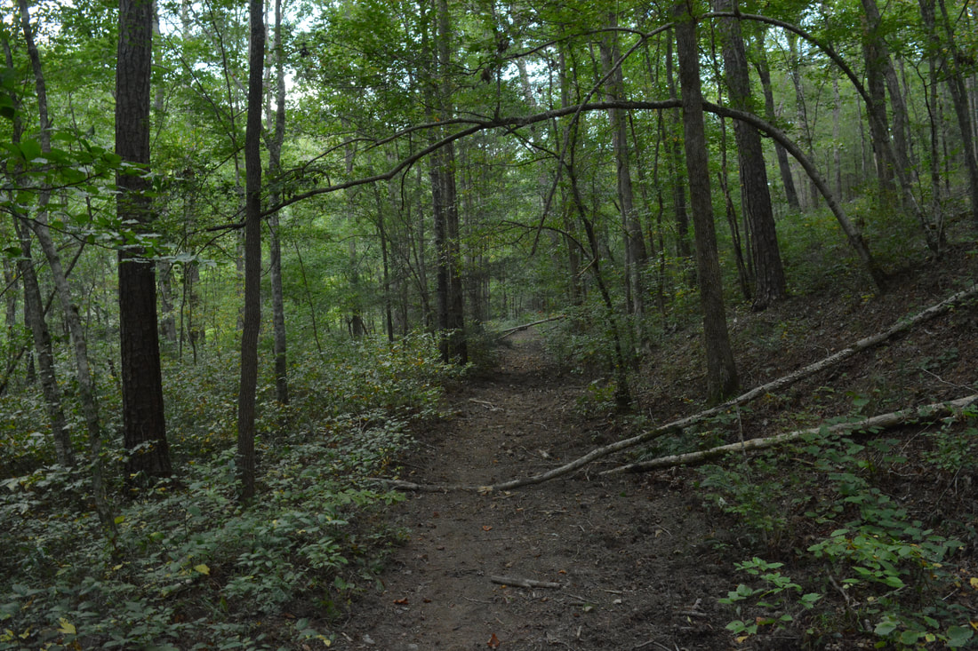
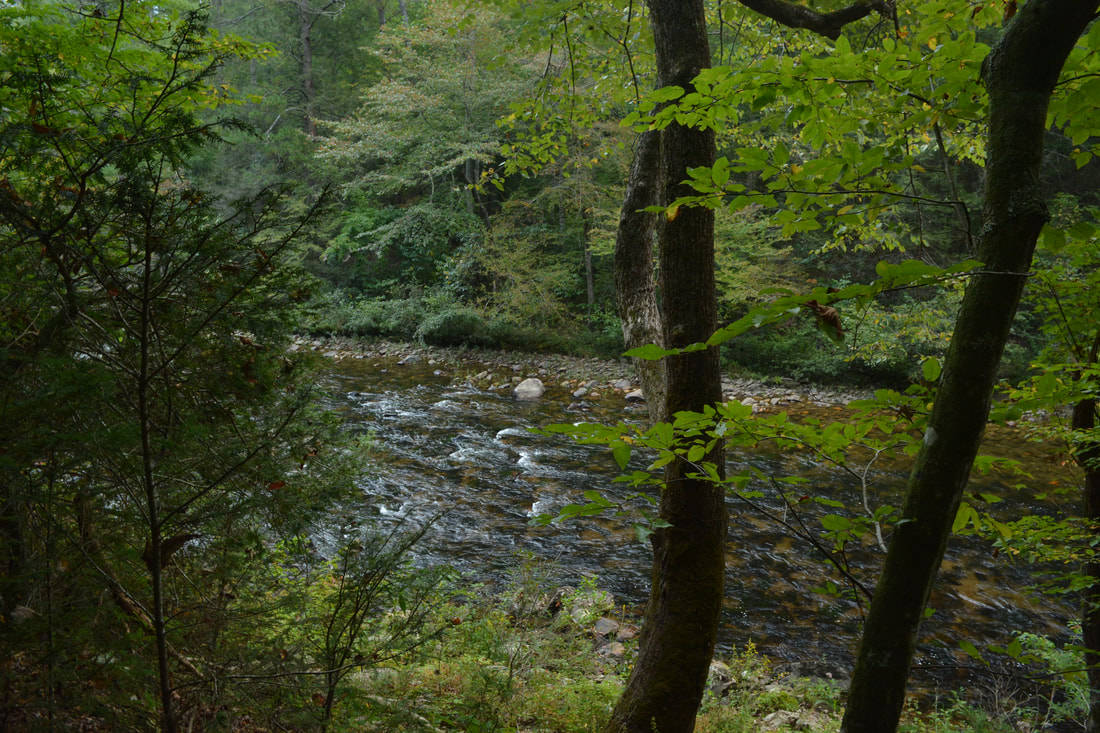
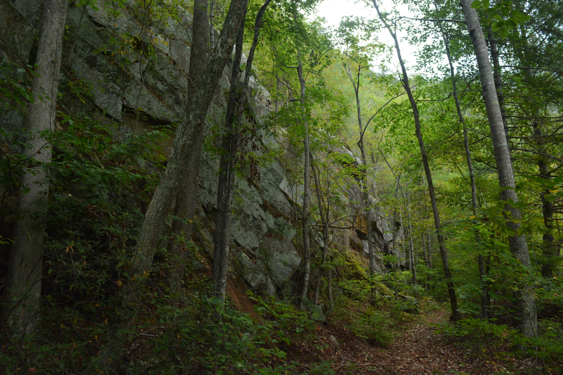
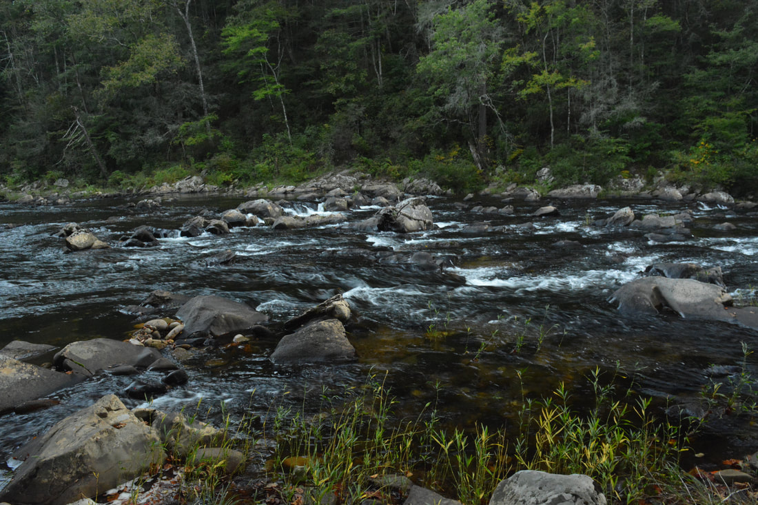
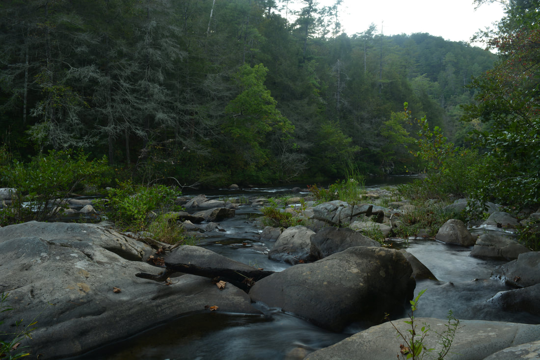
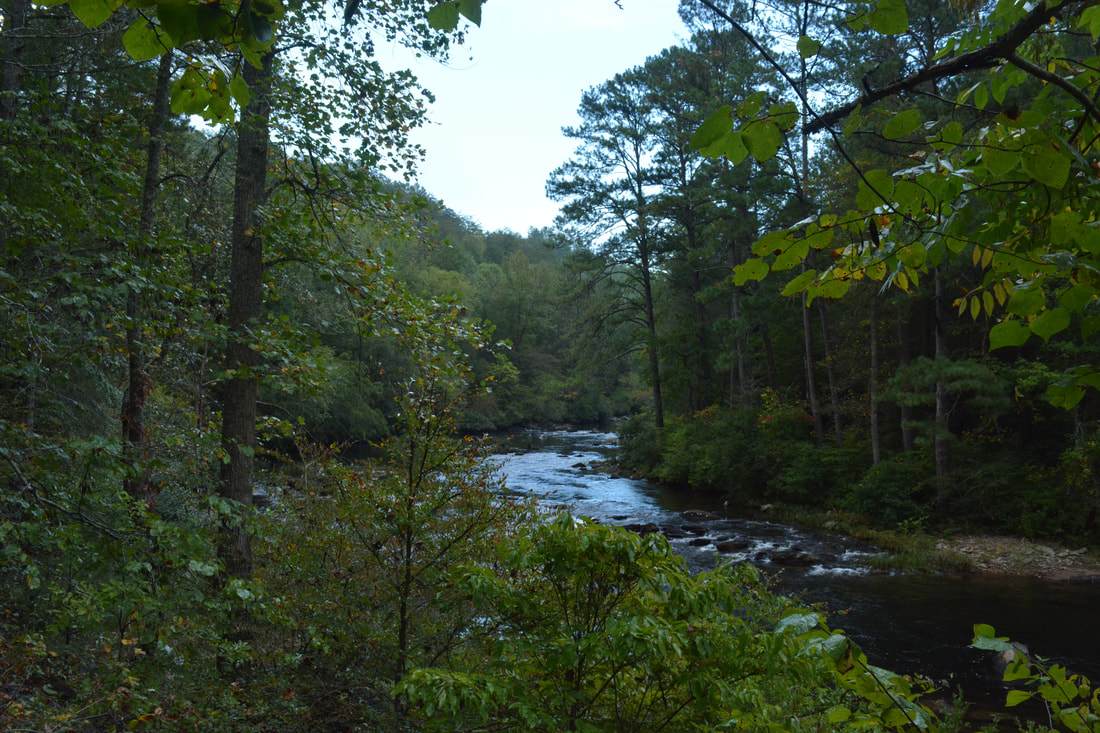
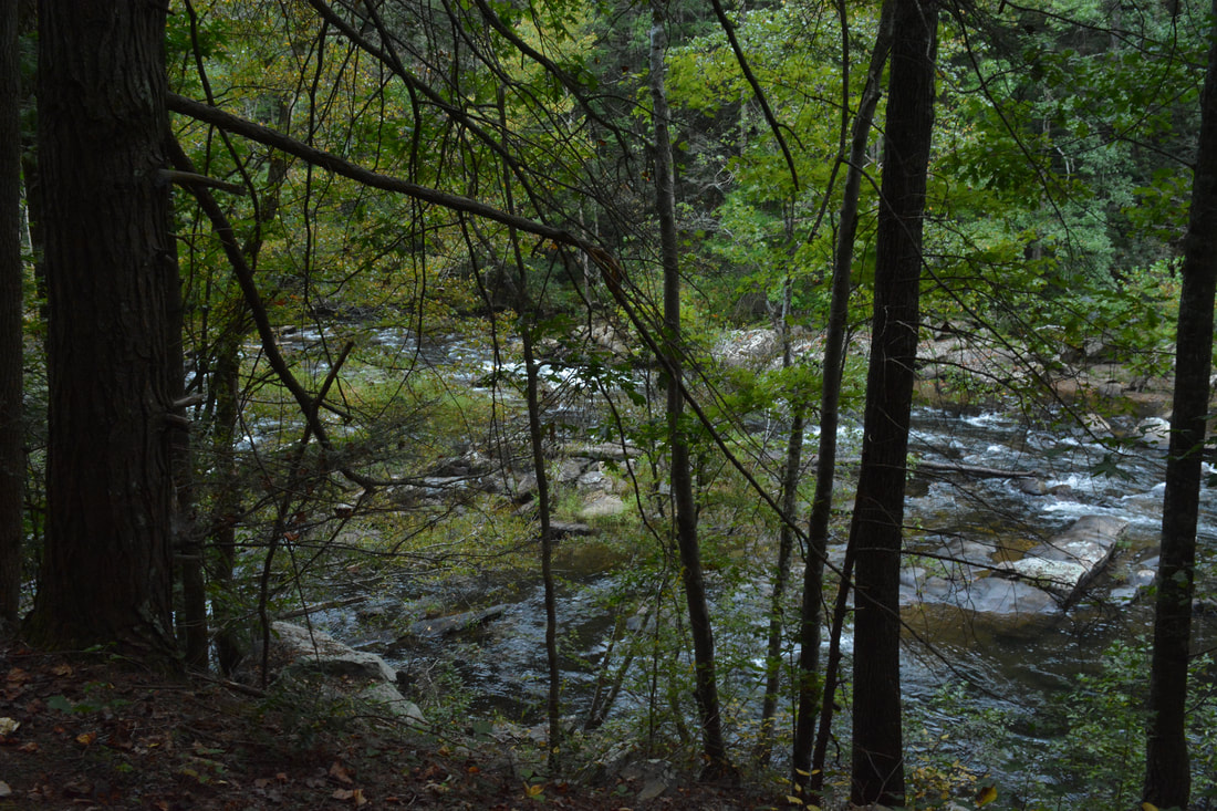
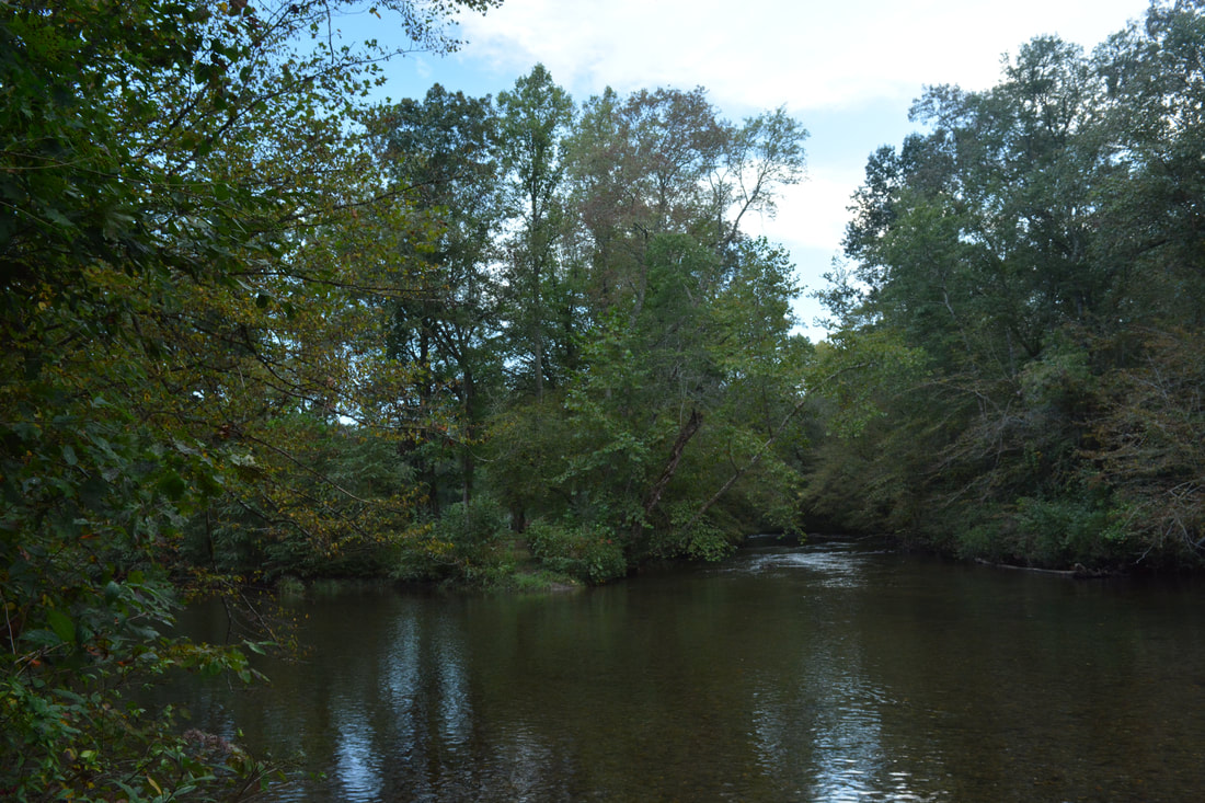
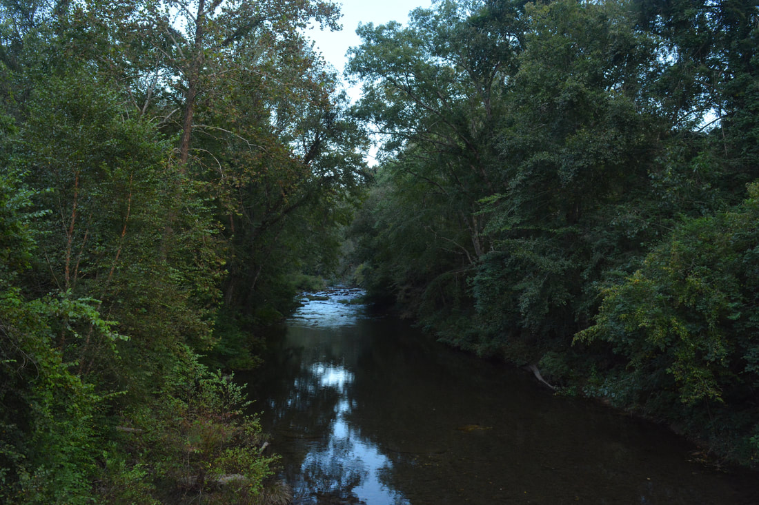
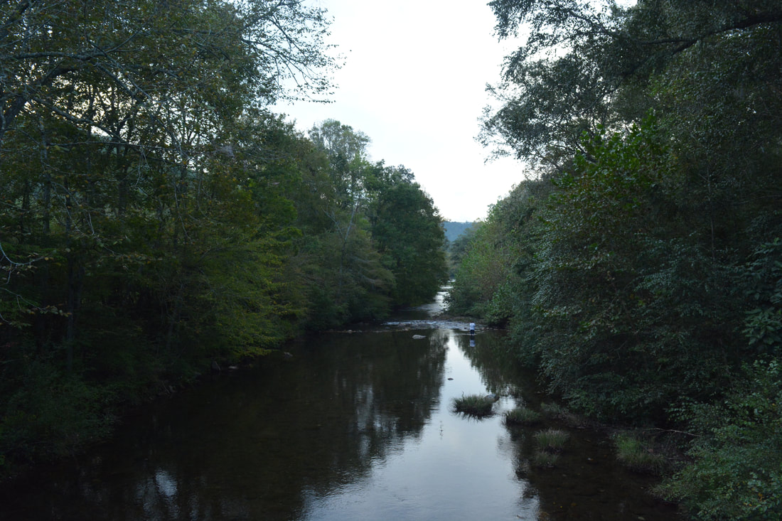
The Iron Mountain Trail makes a sharp left turn at the clearing and begins a descent into the Conasauga River valley. There is no more notable uphill on the rest of the hike, which is quite remarkable with over five and a half miles to go (there is a small hill on the roadwalk but that's it). In the next 1.2 miles, the trail descends about 550 feet. For the time-being, it stays on the broad forest road in a mostly piney forest. You won't notice it, but the trail actually crosses into Tennessee and Cherokee National Forest at 6.75 miles. Then, the road abruptly peters out at 6.9 miles as the trail reaches the edge of the Conasauga River gorge. The final part of the descent is on a fairly tight single-track trail. Shortly after the road ends, there is a split with a trail heading left steeply downhill. I think both trails lead to the same place, but stay straight on what appears to be the official trail. As the trail bottoms out at 7.25 miles, there is another junction where the main trail turns right (I think that the trail straight ahead is the other end of a shortcut). Finally, the Iron Mountain Trail reaches a ford of the Conasauga River at 7.35 miles. This is the second and last ford on the hike. It is also by far the more difficult of the two. At this point, you're positioned several miles below the Jacks River confluence, and the Jacks River is large enough to rival the Conasauga River at Cottonwood Patch. Even though the Conasauga River retains its name past the confluence, the two rivers join to form one mighty pristine waterway. Thus, this ford - the lowermost officially-designated ford of the Conasauga River - is always deep. Do not even consider trying it after heavy rain or during high water. The ford looks deceivingly shallow from the bank, but actually, even with the normal water levels of September (relatively low), the ford was still waist-deep! Fortunately, the current is very small and the footing is generally good, with only a few large rocks scattered about. When you cross the river, make sure to take a good look at the beautiful waters in both directions. Of interest is the open hillside above the river in the downstream direction. The many dead trees on it are evidence of the Iron Mountain Fire from July 2012. On the other side of the river, the Iron Mountain Trail turns into the Conasauga River Trail as it turns right abruptly. This Conasauga River Trail, #61, must not be confused with the Conasauga River Trail #11 much further upstream in Georgia and in the Cohutta Wilderness proper. The Conasauga River Trail stays essentially flat as it follows the river with many great views of its broad cascades. The first bit of the trail is actually far enough from the river that you can't see much of it, but the gorge narrows at 7.8 miles and the river quickly comes into view. The trail actually briefly re-enters Georgia at 7.55 miles only to leave it once more at 8.15 miles. At 8.25 miles, the trail passes a long and scenic bluff. A pair of side trails lead to a strip of sandy beach along the river at 8.75 miles. At 9.3 miles, there is a short spur trail on the right to a campsite. I suggest taking this side trail, as it also leads to one of the most scenic sets of boulder-strewn cascades along this stretch of the river (the cover photo for this report). This is a superb location to pitch a tent and fall asleep to the sound of the river! 
The second ford of the Conasauga River along the Iron Mountain Loop is unusually wide and waist-deep even during relatively low water levels.
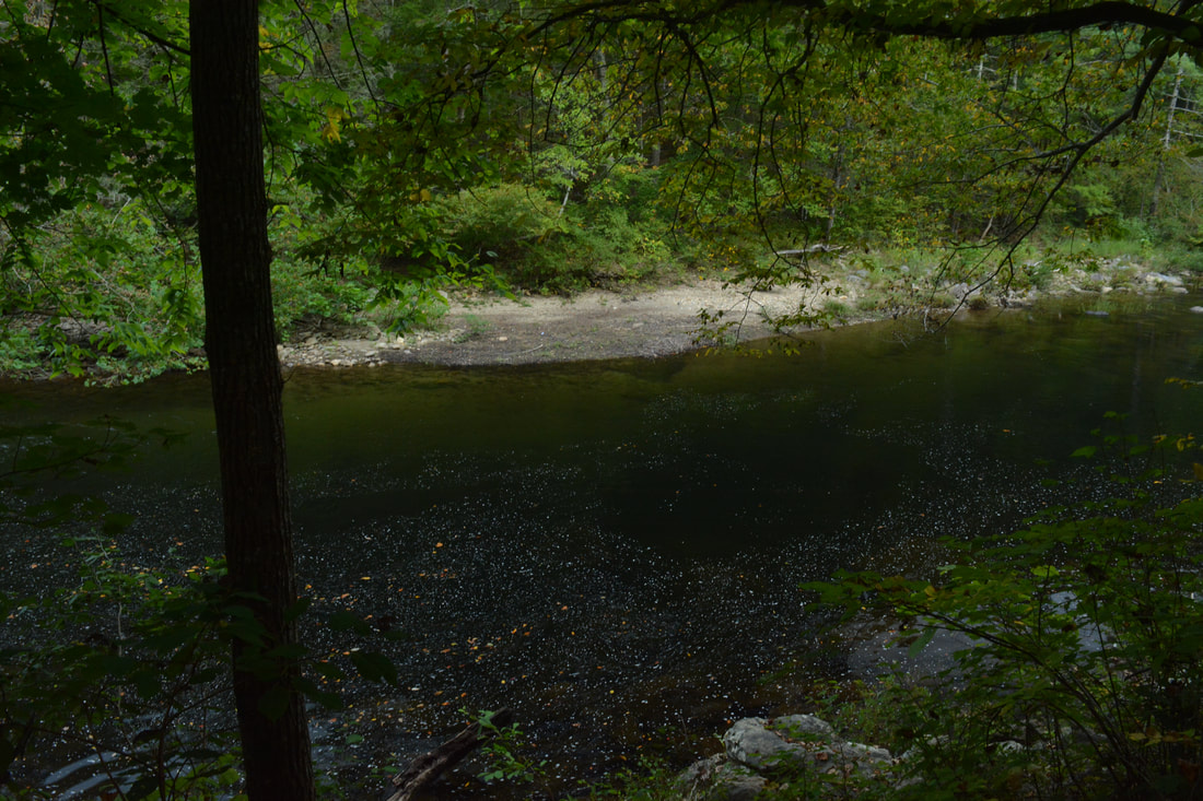
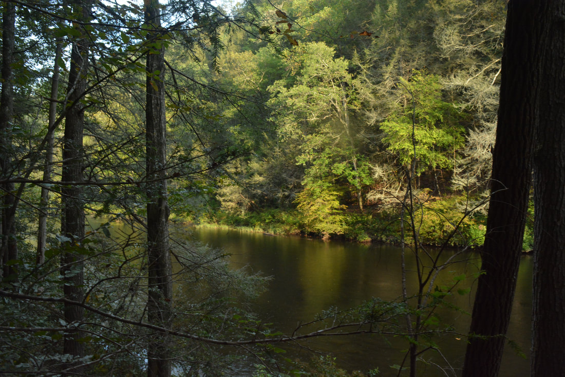
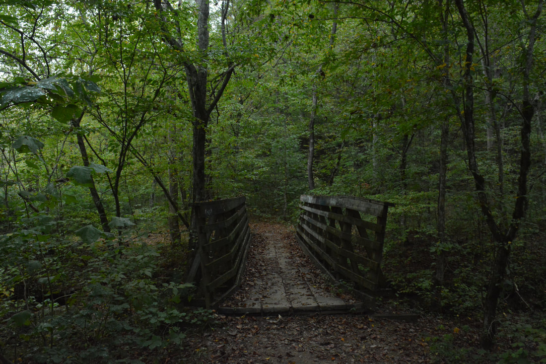
After the side trail, the trail passes a very scenic deep pool-like stretch of river. This area was particularly beautiful today thanks to some early fall color and golden evening reflections. There are several more great campsites down by the river farther on. Passing some more smaller bluffs, the trail makes a crossing of Graham Branch at 10.0 miles. This will be an easy rock hop under most conditions. After a few more views of the pristine river, the Conasauga River Trail then reaches its terminus at the trailhead parking area off FS 221 at 10.3 miles just past a footbridge across Taylor Branch. If you happened to set up a shuttle, then you would have a second car waiting for you here. The trailhead is known as the Taylors Blue Hole Trailhead. Otherwise, stay straight in order to start the final roadwalk leg of the hike. In my opinion, the roadwalk is a pretty good ending to the hike, as there are scenic parts to it where it stays close to the river, and the Jacks River confluence is a major highlight. After 0.1 mile, the trailhead access road joins FS 221 - bear right. The road stays essentially level as it slowly approaches and follows the Conasauga River. There are many great car-camping sites here. Just before a bridge across Sheeds Creek, make a short side trip across the edge of a campsite and down to the edge of the river on the right at 10.75 miles. This is the spot where the Jacks River (left) and Conasauga River (straight ahead) converge. The convergence of the two large rivers is beautiful.
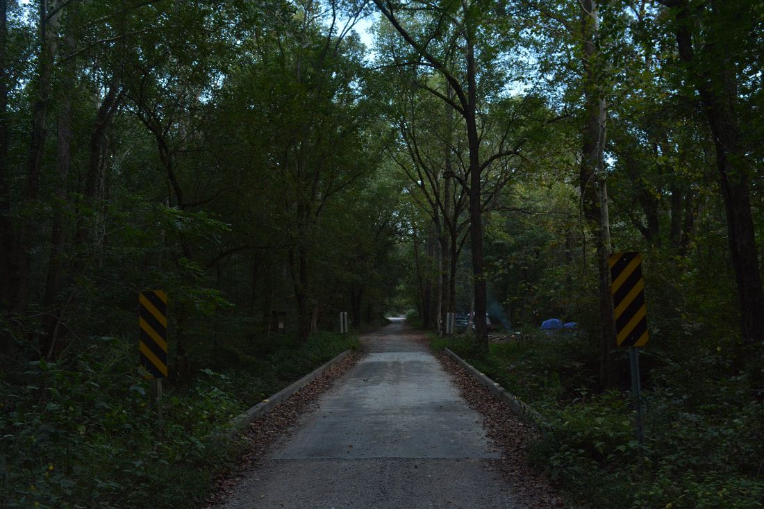
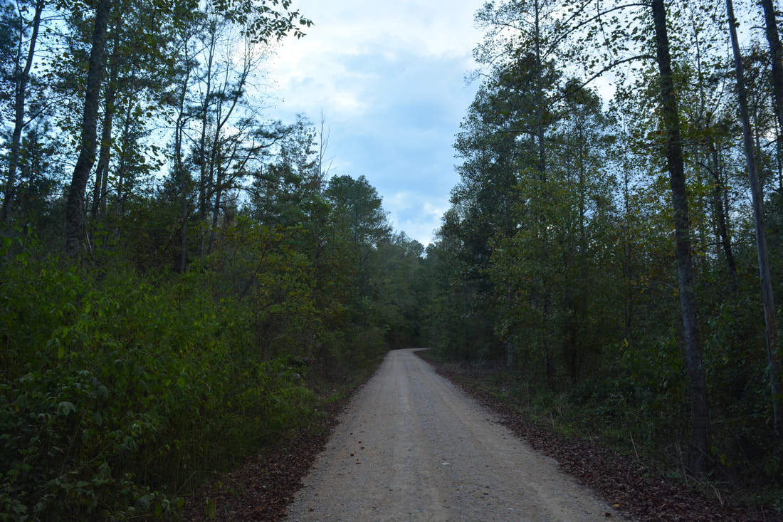
Reach a road junction at 10.9 miles. While FS 221 continues straight, you must turn right onto FS 16 and cross the Jacks River Bridge - a beautiful piece of architecture - to conclude the loop. There are great views up and down the broad Jacks River from the bridge. FS 16 then leaves the river and passes through lowlands with one small hill along the way. At 11.65 miles, reach the junction with FS 16A and the sign for Cottonwood Patch Campground. Turn right onto FS 16A and walk the final 250 feet to your car, concluding the hike at 11.7 miles. Mileage
0.0 - Cottonwood Patch Campground
0.25 - Conasauga River Ford #1 4.0 - FS 1/1A 6.1 - Iron Mountain View 7.35 - Conasauga River Ford #2 8.75 - Riverside Beach 9.3 - Scenic Cascades 10.0 - Graham Branch 10.3 - Taylors Blue Hole Trailhead 10.75 - Jacks River Confluence 10.9 - Jacks River Bridge 11.7 - Cottonwood Patch Campground Variations
Hike the Conasauga River Trail out and back from Taylors Blue Hole Trailhead to the ford - 5.9 Miles
Hike the Conasauga River Trail out and back from Taylors Blue Hole Trailhead to Iron Mountain View - 8.4 Miles Bonus Stops
The scenic Lower Jigger Creek Falls, accessed by a short hike, is a great waterfall to do on the same day.
Pictures & Videos
2 Comments
Alex Williams
4/20/2018 11:36:20 pm
Hey, man. Great write up. I was thinking about car camping next weekend in or near the Cottonwood Patch Campground and doing this loop as a day-hike. 5/21/2018 11:32:02 am
I love your blog! Great descriptions and maps! So helpful when planning a trip! Leave a Reply. |
About MeMark Oleg Ozboyd Dear readers: I have invested a tremendous amount of time and effort in this website and the Georgia Waterfalls Database the past five years. All of the work that has gone in keeping these websites updated with my latest trip reports has almost been like a full-time job. This has not allowed me to pick up a paid job to save up money for college, and therefore, I I've had to take out loans. If you find the information on this website interesting, helpful, or time-saving, you can say "thanks" and help me out by clicking the button above and making a contribution. I will be very grateful for any amount of support you give, as all of it will apply toward my college tuition. Thank you!

Coming in 2022-2023?
Other Hiking WebsitesMiles HikedYear 1: 540.0 Miles
Year 2: 552.3 Miles Year 3: 518.4 Miles Year 4: 482.4 Miles Year 5: 259.9 Miles Archives
March 2021
Categories
All
|
||


 RSS Feed