
Looking at a topographic map of the Jacks River area, one can easily make out the iconic Horseshoe Bend in the river, where the land sticks out in the form of a horseshoe. The Jacks River Trail is a trail that is over a dozen miles long and has over forty river fords, as it follows the Jacks River for much of its length and crisscrosses it numerous times. This trail provides the easiest access into the beautiful stretch of the Jacks River at Horseshoe Bend. A lesser-used trail known as the Horseshoe Bend Trail can be used to accessed the area as well, and there's also a catch: it passes mere feet away from one of the most beautiful vistas in the Cohutta Mountains. On this hike, you'll first hike through upland areas south of the Jacks River, passing the spectacular Horseshoe Bend vista, before hiking through the scenic Jacks River Gorge to Jacks River Falls. This hike occurred on Saturday, September 3rd, 2016. My plan was to follow the Horseshoe Bend Trail from FS Road 51 to the Jacks River Trail. From there, I would hike out and back along the Jacks River Trail upstream to Jacks River Falls, and then, I would follow the Jacks River Trail downstream to the Alaculsy Trailhead. I arranged to have two cars for this point-to-point hike: one car was placed at the Horseshoe Bend Trailhead and another car was placed at the Alaculsy Jacks River Trailhead.
Summary
R/T Length of Trail: 15.1 Miles
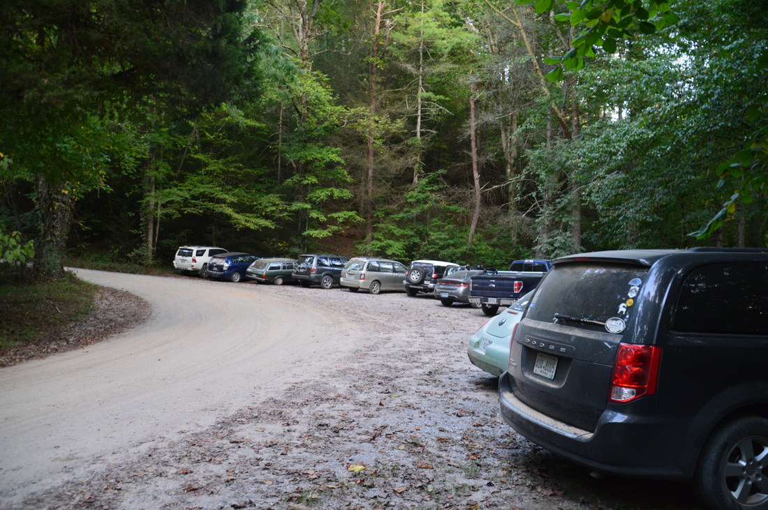
Duration of Hike: 8:45 Type of Hike: Point-to-Point Difficulty Rating: 4 out of 10 Total Elevation Gain: 1266 Feet Pros: Relatively easy trail with relatively little elevation gain for the mountains Cons: There are nearly three dozen river fords on this hike, which make this hike slower than one would expect Points of Interest: Horseshoe Bend Vista - 7 stars; Jacks River Falls - 9 stars (possibly lower depending on recent rainfall, a lot of water greatly adds to the beauty of this waterfall) Trail Blaze Color(s); None Best Season(s) to Hike: Spring Fees: None Beginning Point: Horseshoe Bend Trailhead in the Cohutta Wilderness Directions from Chatsworth, GA to Alaculsy Jacks River Trailhead: From the intersection of US Route 411 and GA Route 52 (Fort Street) in downtown Chatsworth, follow US-411 North for 13.2 miles. Then, in the community of Cisco, turn right onto Old Highway 2, also known as County Road 392. The road will turn unpaved, but it is in excellent condition. Follow it for 8.5 miles. Just after you cross a bridge over the Jacks River, turn right onto FS Road 221 (Sheeds Creek Peavine Road) at the Tennessee state line. Continue for only about 200 feet to the parking area at the Alaculsy Valley Trailhead for the Jacks River Trail. This is where you will finish this hike. We placed our first car here, and then, we rode over to the Horseshoe Bend Trailhead, where we placed our second car and began the hike. Directions from Alaculsy Jacks River Trailhead to Horseshoe Bend Trailhead: Drive back to the road intersection at Jacks River bridge, turn left onto Old Highway 2, and follow Old Highway 2 back south for 0.8 miles. Then, turn left onto dead-end FS Road 51 (East Cowpen Road). This is a slightly rougher forest road with some potholes and potentially muddy areas. There are also two shallow car fords of Jigger Creek. Nevertheless, I believe that if driving with care, most passenger vehicles will be able to travel this road, except during very high water levels. Follow FS Road 51 for 2.5 miles until you will see a gated side road leading to the left, about 0.6 miles after the second car ford of Jigger Creek. There is also a small parking area here. This is the Horseshoe Bend Trailhead. This i where the hike back to the first vehicle begins. Map
Click here for more information and to download this trail map to view in Garmin Basecamp.
Details
Having hiked several times in the Cohutta Wilderness of northwest Georgia, I have already been to the two most popular destinations: Jacks River Falls and Panther Creek Falls (and I have seen the view from the top of the falls). In fact, in my opinion, Jacks River Falls is one of the best waterfalls in Georgia, especially when there is a lot of water, such as there was on my both of my previous visits to it. But has anyone heard of a place called the "Horseshoe Bend Overlook"? Chances are that you haven't. Located near a little-used access trail to the Jacks River, the Horseshoe Bend Overlook provides an excellent view of the Jacks River gorge at Horseshoe Bend as well as Cowpen Mountain rising up behind. In my opinion, this is the best view in the Cohutta Wilderness, and it definitely recieves much less attention than it should. My principal goal on this hike was to find and see the Horseshoe Bend Overlook, but to extend the hike, I also planned to make a lengthy trek along the gorgeous Jacks River and visit Jacks River Falls yet another time.
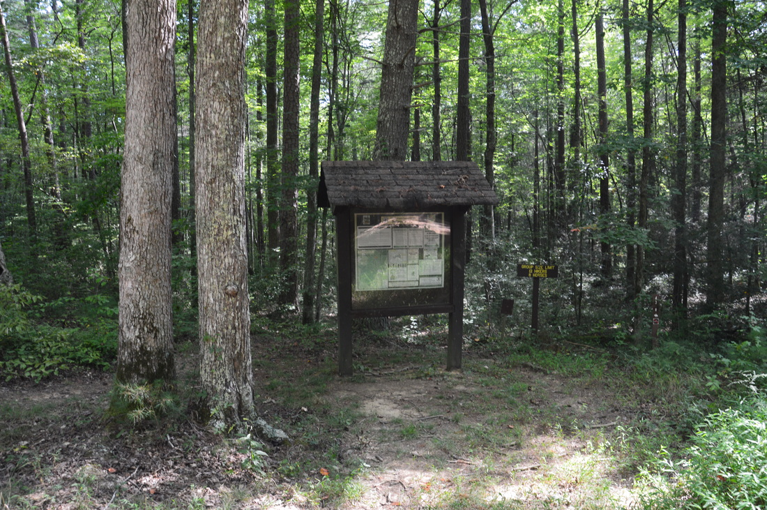
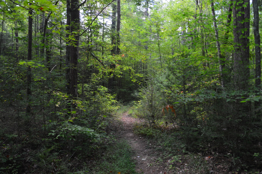
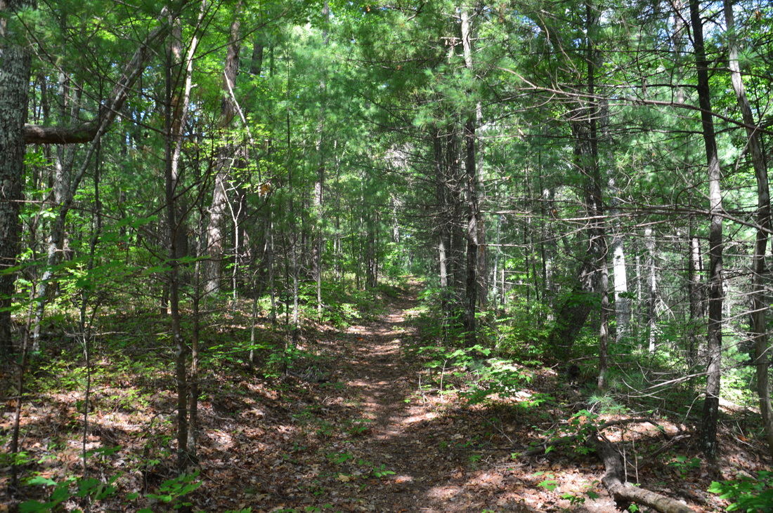
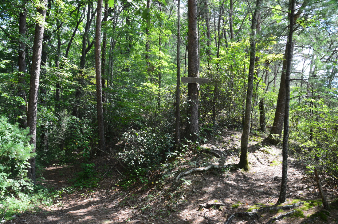
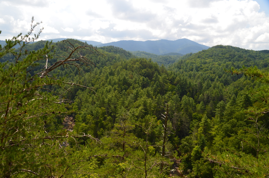
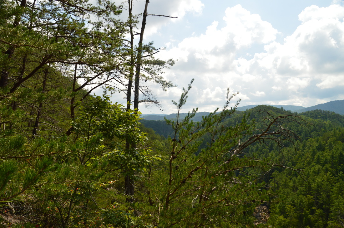
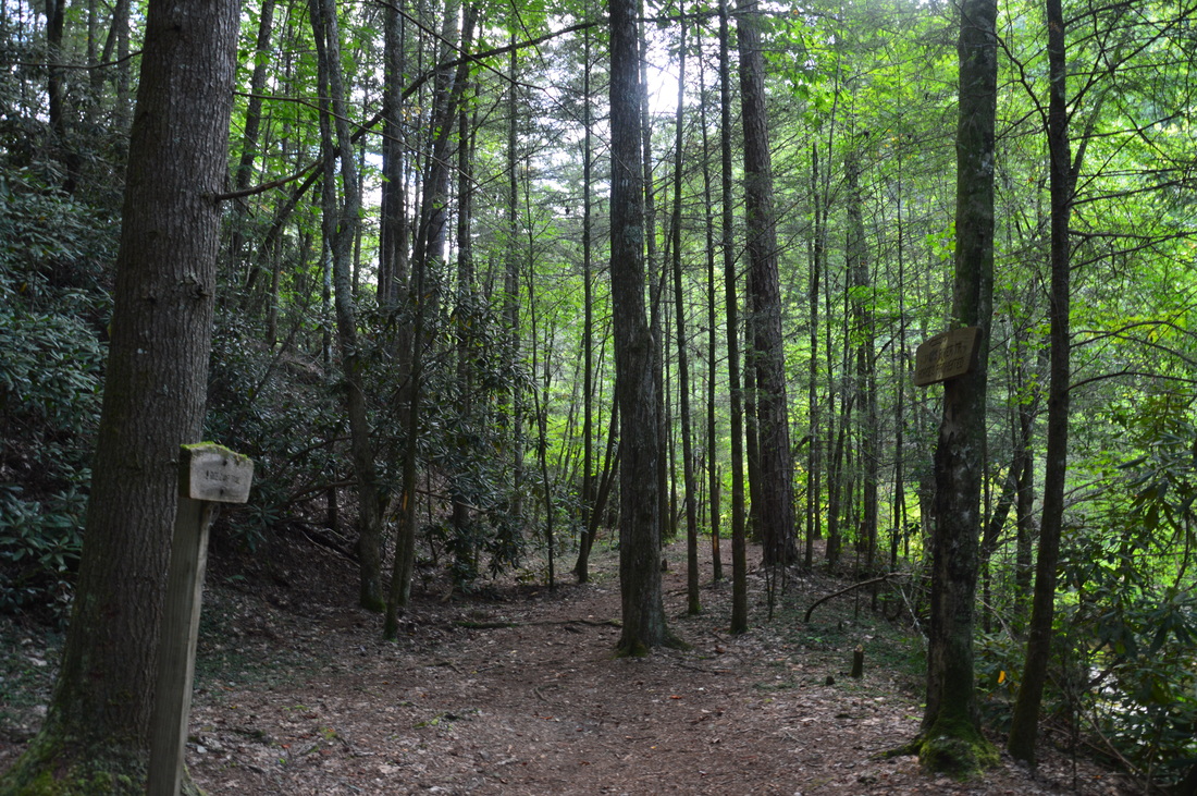
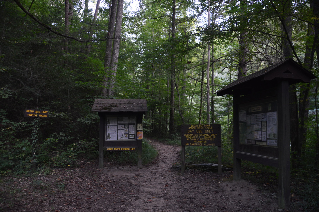
I began the hike at the Horseshoe Bend Trailhead, as doing the hike this way would make it easier, avoiding the steep uphill on the Horseshoe Bend Trail coming out of the Jacks River gorge. Begin the hike at the trailhead kiosk, where the Horseshoe Bend Trail (#43) leaves downhill, marked by a carsonite stake. At just 0.1 miles, bottom out and cross one of the two forks of a Jacks River tributary. During times of high water, there is a rather impressive waterfall on this stream about three-quarters of a mile downstream from where the trail crosses it, below the confluence of the two forks, although I have yet to see this waterfall or even figure out a good approach to it. Beyond this stream. follow an easy trail to the crossing of the slightly larger second fork of the tributary at 0.5 miles. Unlike the first fork, the second fork actually had water on this day. Beyond the crossing, a gradual uphill commences as the trail ascends towards Ken Mountain. The steepest pitch is at 0.9 miles. At 1.6 miles, keep left as an overgrown roadbed bears right. At appoximately 1.8 miles, enter the Cohutta Wilderness. There was no sign to mark the exact point, which is unusual. At 1.9 miles, reach the highest point on the hike on Ken Mountain at an elevation of only 1800 feet. Ken Mountain is actually a ridge that extends from Buckeye Mountain. After the high point, the Horseshoe Bend Trail begins to descend moderately on the increasingly-narrower ridge. Between 2.1 and 2.2 miles, some breaks in the trees provide excellent winter views and even mediocre summer views of the Cohutta Mountains to the east. At 2.55 miles, the trail reaches a gap in the ridge. following a briefly steep descent. In this gap, a sign nailed to a tree reads that horses are prohibited beyond this point. The main trail bears left from the gap, but wait! From the gap, an obscure goat path leads straight, along the south (right-hand) side of a knob on the ridge for 200 feet to the Horseshoe Bend Overlook. There is no sign or marker for this path, so when you reach this gap (you'll know it because of the no horses sign), look closely for this path. Follow it for about 200 feet to a surprisingly small rock outcrop with an incredible overlook! Nearly 500 feet below you, the Jacks River makes its Horseshoe Bend, and you can see a long section of the Jacks River gorge. The background is formed by Cowpen Mountain rising up to over 4000 feet directly ahead. Big Frog Mountain rises up to a similar height more to the left. This is a must-see overlook. 
The incredible and rarely-seen view from the Horseshoe Bend Overlook, with both the Jacks River and Cowpen Mountain in one picture!
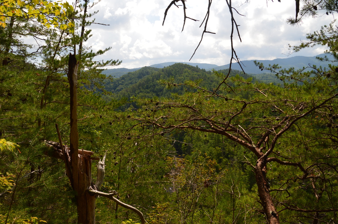
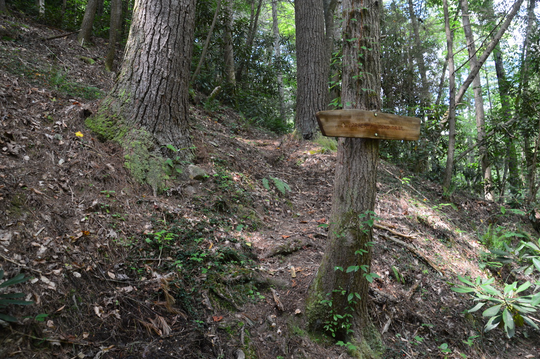
From the overlook, return to the trail. The next 0.4 miles of trail are vastly different from what the hike has been like so far. The trail leaves the gap and passes to the north of the knob at the eastern end of Ken Mountain (an old trail branches off to the right towards the summit of the knob). Shortly after the gap, the trail begins an extremely steep descent into the Jacks River gorge. There are some small switchbacks, but they provide little if any help. This is the main reason that I chose to start this hike at the Horseshoe Bend Trailhead, because this section of trail would be quite difficult coming up (although certainly it's doable). Between 2.7 miles and 3.0 miles, the trail descends 300 feet at a rate of 1000 feet per mile, which is considered very steep. As the Jacks River comes into view, the Horseshoe Bend Trail ends at the bottom of the gorge at the Jacks River Trail at 3.0 miles. This end of the trail is signed, although the junction would still be easy to pass if coming up the Jacks River Trail from Alaculsy.
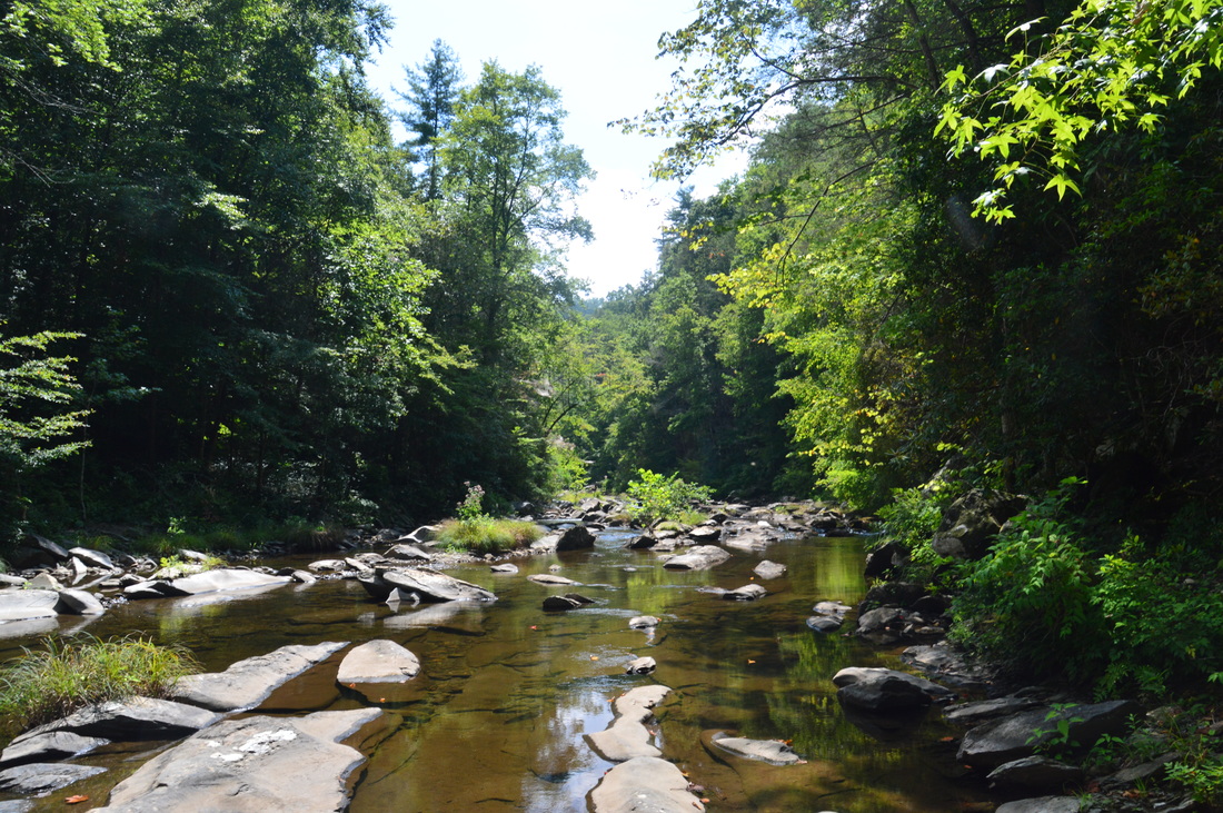
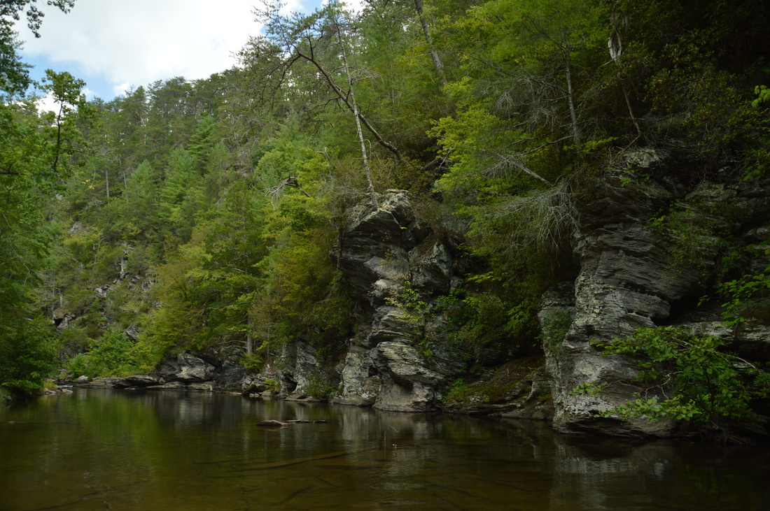
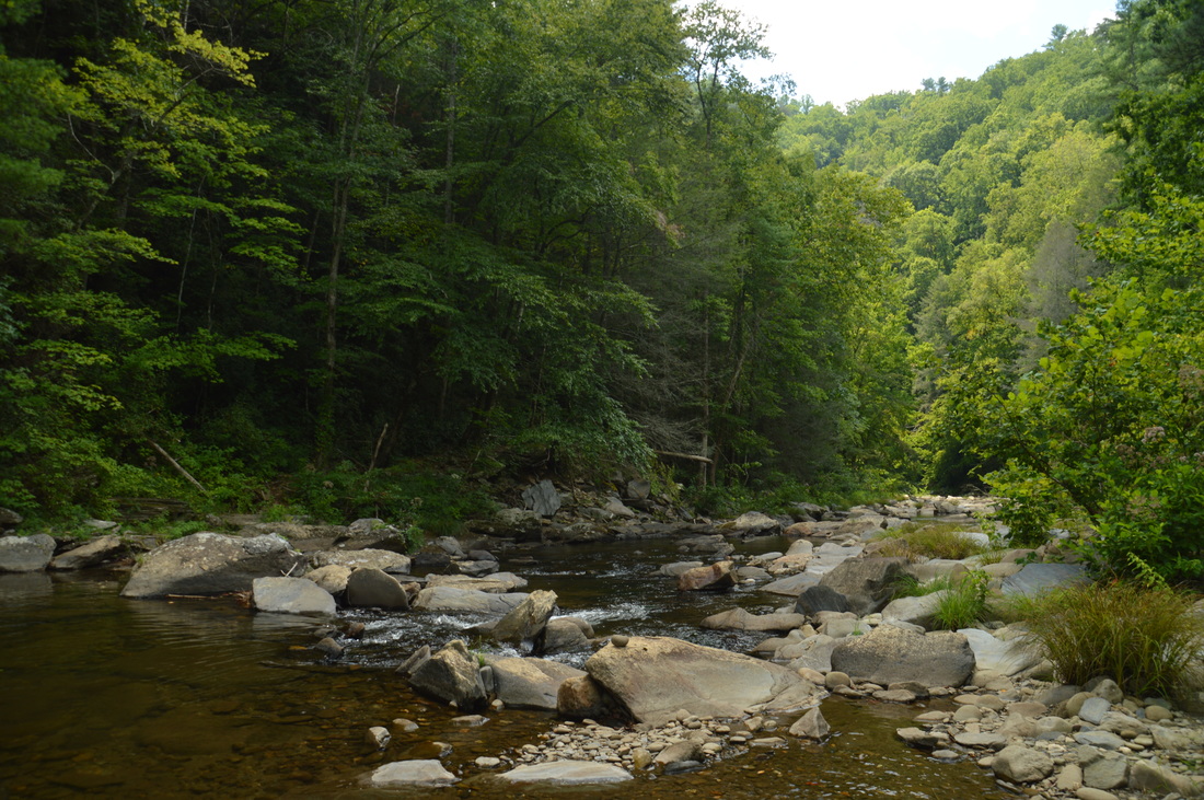
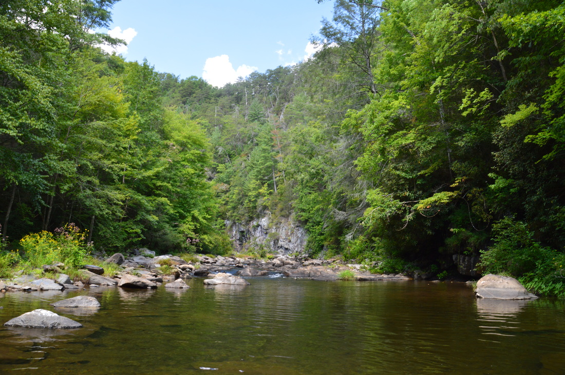
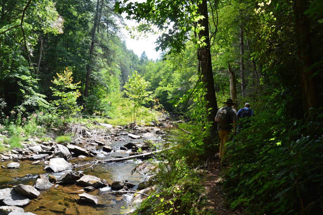
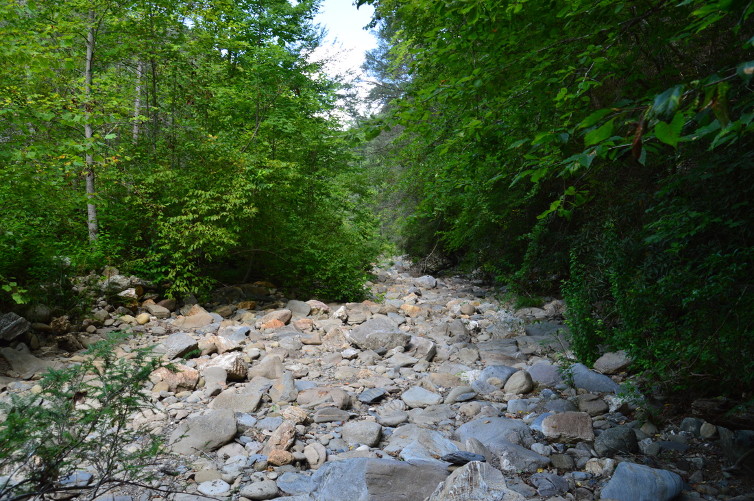
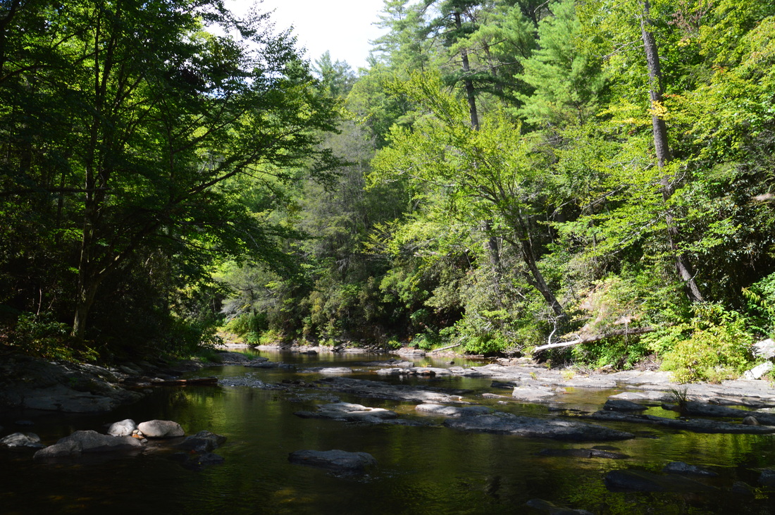
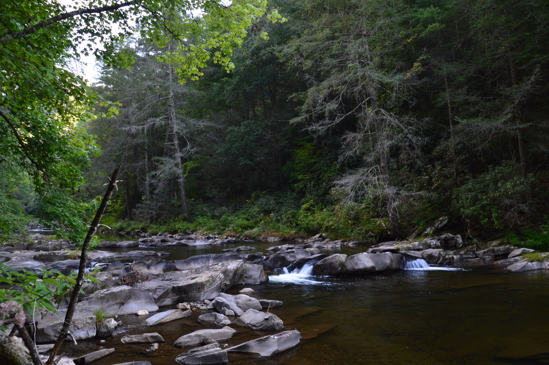
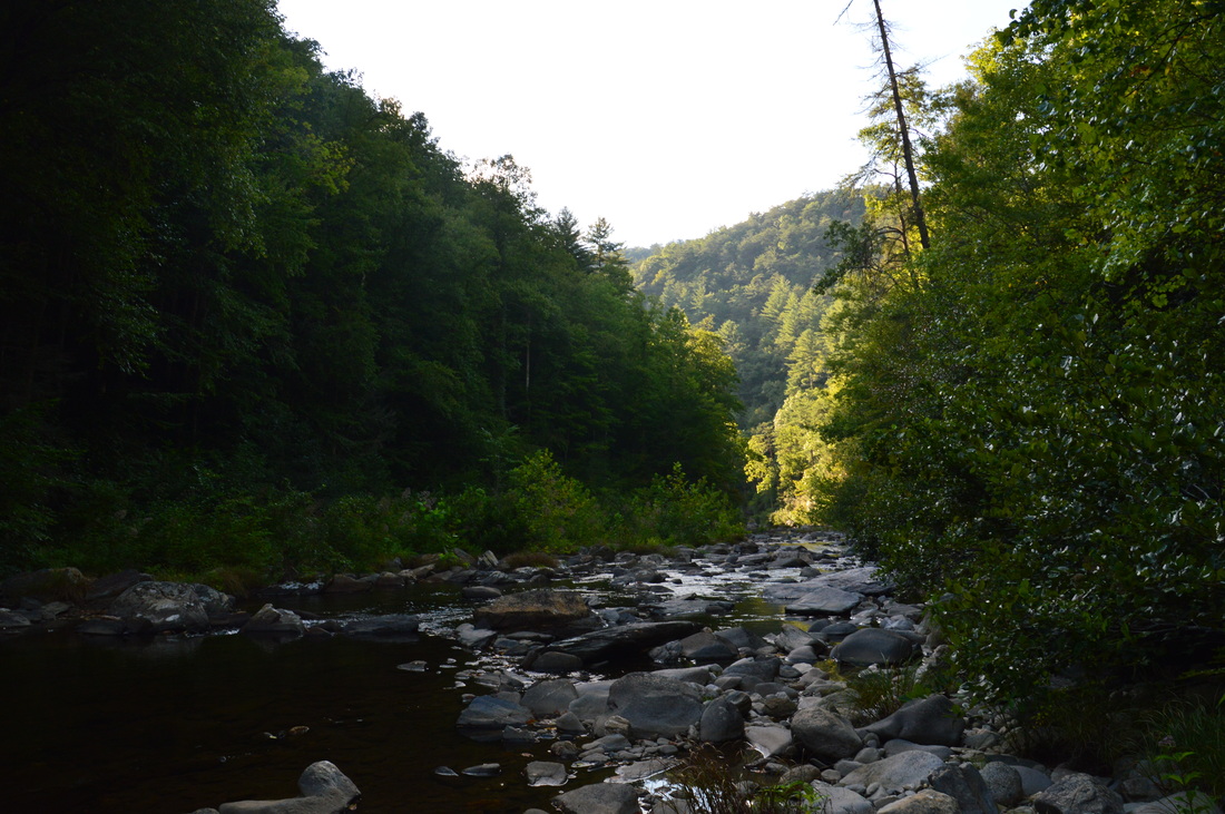
From the junction, you can turn right onto the Jacks River Trail for an out and back trip to Jacks River Falls, or you can turn left right away for a much shorter hike to the Alaculsy Trailhead. My plan was to visit Jacks River Falls, so to follow my route, turn right onto the Jacks River Trail. At 3.1 miles, reach the first ford of the Jacks River. On this day, the area was in a severe drought and the Jacks River was low enough to a point where it was possible to rock hop across a few of the fords, but under normal conditions, you should expect all of the fords on this section of the trail to be at least knee-deep, with no way to get across dry. Between the Horseshoe Bend Trail junction (3.0 miles) and Rice Camp Trail junction (6.0 miles), there is a total of twelve fords of the Jacks River. Most of the trail in this section stays very close to the Jacks River, providing excellent views of the river. For this reason, the Jacks River Trail is widely considered to be one of the most beautiful river hikes in Georgia. One of the most scenic places on the hike is at the third ford, where the trail crosses the river in front of a beautiful pool with a set of picturesque rock outcrops to the right. I chose this scene for the photo at the top of this post. At one of the fords at 4.35 miles, you can see the rock outcrop with the Horseshoe Bend Overlook high atop the rim of the gorge to the right. You were there just an hour ago! At 6.0 miles, in the middle of a busy camping area reach the junction with the Rice Camp Trail, which splits off to the right and in 3.5 miles reaches the Rice Camp Trailhead at the end of East Cowpen Road. The Rice Camp Loop is one of several trails that can be utilized to hike the 11-mile Rice Camp Loop, an excellent hike in its own right. To reach Jacks River Falls, continue straight on the Jacks River Trail. At 6.1 miles, reach the thirteenth river ford of the hike and the only ford between the Rice Camp Trail junction and Jacks River Falls. When I hiked the Rice Camp Loop after a period of well above average rainfall, I found this ford to be very difficult, with countless slippery rock slabs well underwater. However, on this day, the low water levels made this ford surprisingly easy. After this ford, the trail stays on the north side of the Jacks River and begins a gradual ascent to Jacks River Falls. There is a camping ban in effect for the area beyond this ford for restoration of the land to occur. At 6.9 miles, the trail passes above a scenic bend in the river. 
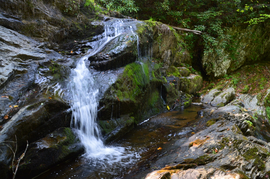
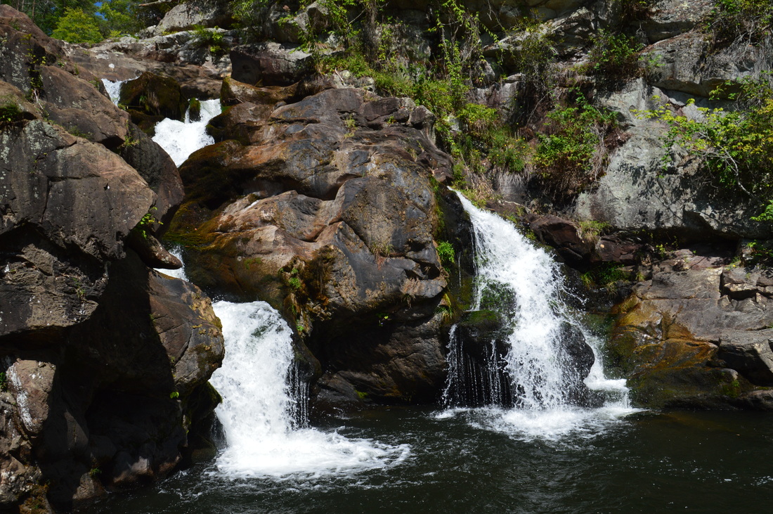
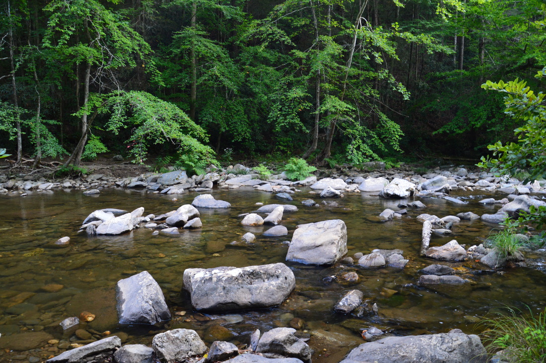
Jacks River Falls in severe drought conditions
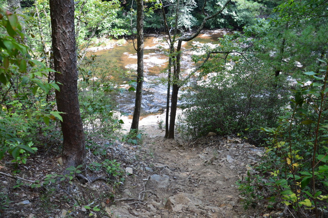
On my previous two visits to Jacks River Falls, I failed to find a good way to the base of the falls, and thus, I had to satisfy myself with views from the top and side. On this hike, however, I finally found the route to the bottom of the falls. At 7.2 miles, watch out for a very steep but well-used path to the right that descends to the Jacks River. You can hear the falls at this point, but if you have reached the side viewing area of the falls on the trail, you have gone too far. Carefully descend down this path. At the bottom, turn left and follow the river upstream for a short distance to the base of 80-foot Jacks River Falls. This is a beautiful waterfall that cascades over a ledge with many angular rock outcrops and into a deep pool (popular with swimmers and even divers) in a rock amphiteater. While I found the waterfall to be much more impressive during high water levels, it is still a worthwhile hiking destination no matter the conditions.
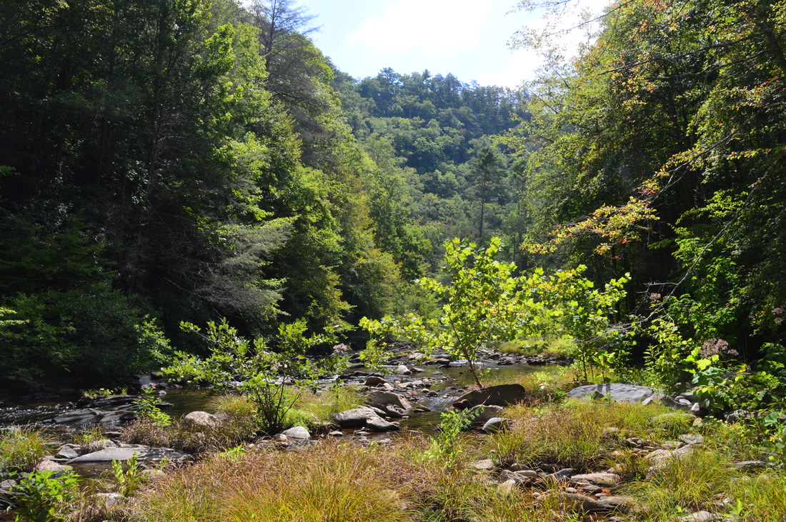
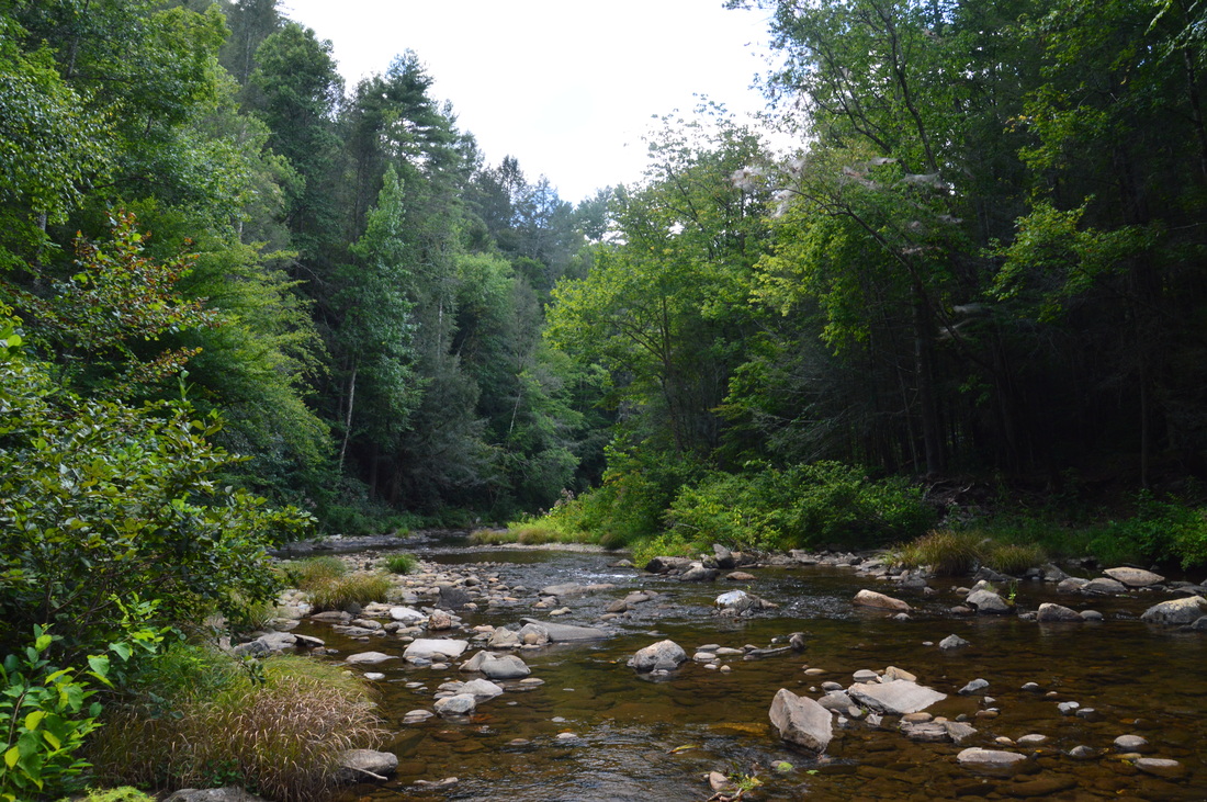
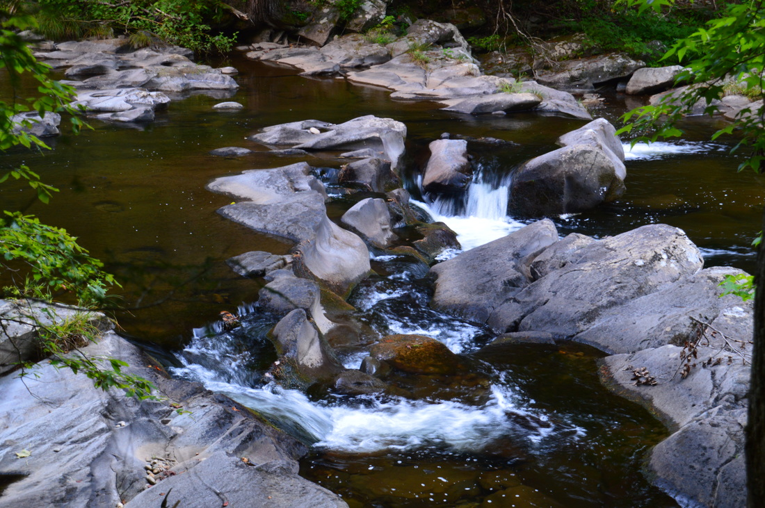
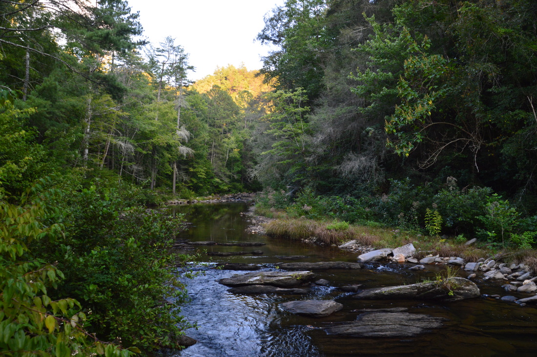
From Jacks River Falls, retrace your steps along the Jacks River Trail. You will return to the Horseshoe Bend Trail junction at 11.3 miles. By now, you have completed twenty-six fords of the Jacks River. If you do not have two cars, you could turn this hike into an out-and-back hike by returning along the Horseshoe Bend Trail, but assuming that you do have two cars with one at the Alaculsy Trailhead, continue straight on the Jacks River Trail further downstream along the river. In my opinion, the section of the trail below the Horseshoe Bend Trail junction passes through one of the most beautiful parts of the gorge. However, the fords are deeper here, and even during drought conditions, I found a couple of the fords to be nearly waist-deep, so during high water, some of these fords might be pretty difficult. There is ten fords along this segment of the trail, which means that there is a total of thirty-six fords on this hike (including the ones that you have done twice on the out-and-back section). After the Horseshoe Bend Trail junction, the river-walk quickly resumes. You'll make your first ford following the junction less than a tenth of a mile from it. There are some cascades in the river here and the steep-sided gorge is very beautiful. Each of the fords provided picturesque views of this remote mountain stream. The last ford is at 13.15 miles. After this, the remaining portion of the hike is completely flat and still along the river. Frequent views of the river continue, but the gorge may not feel as wild anymore, as this portion of the trail is more popular. Casual hikers prefer to stroll from the Alaculsy Trailhead out and back to the first river ford, without getting their feet wet. As you approach the end of the hike, the river will begin to widen and the gorge will begin to open up, before you leave the Cohutta Wilderness and reach the end of the hike (and the end of the Jacks River Trail) at the Alaculsy Trailhead at 15.1 miles. 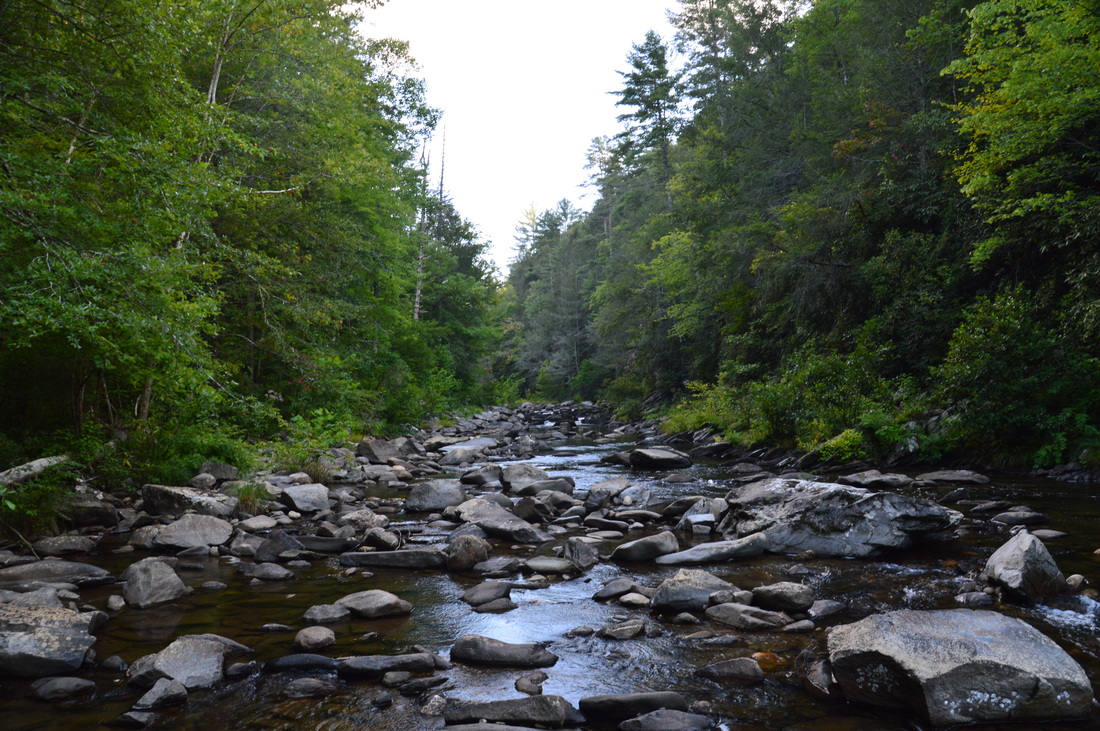
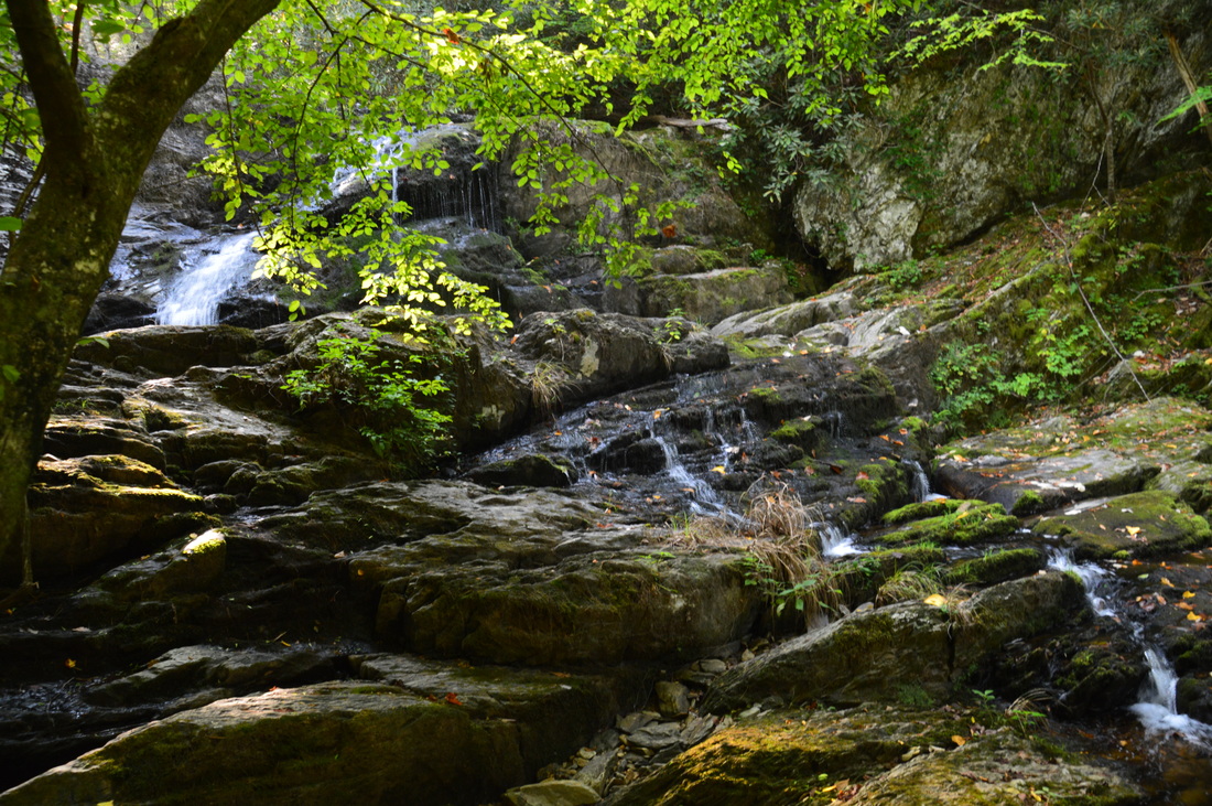
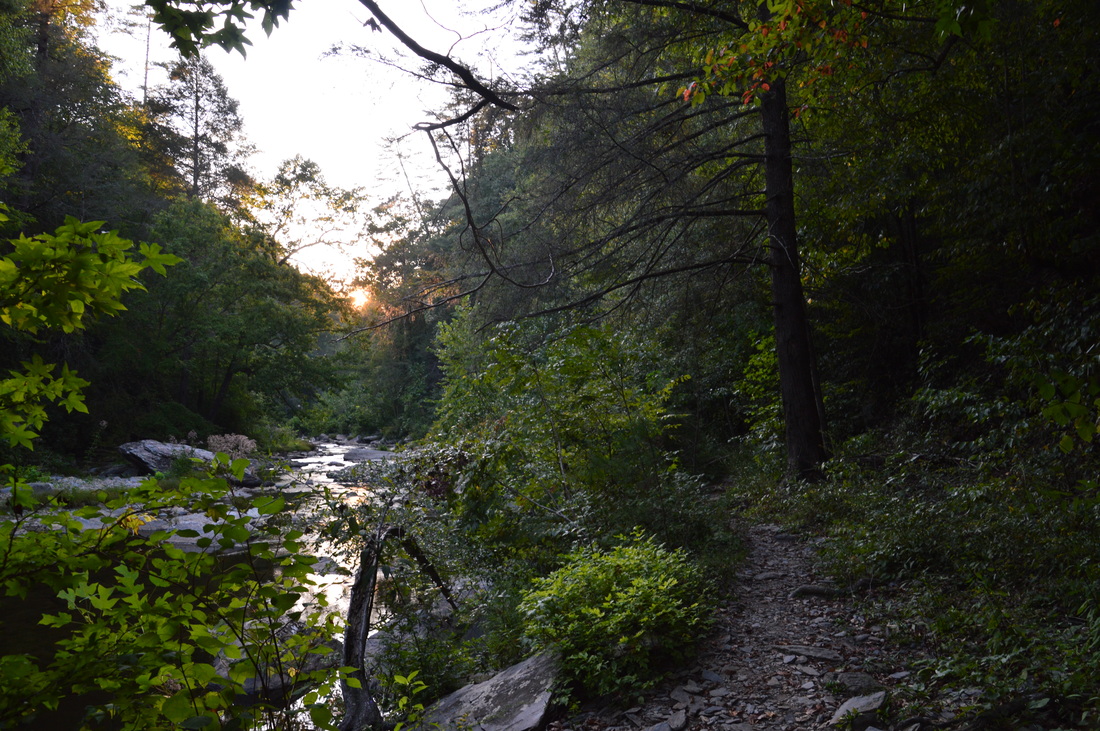
The remote and scenic Jacks River gorge
Mileage
0.0 - Horseshoe Bend Trailhead
2.55 - Horseshoe Bend Overlook 3.0 - Reach Jacks River 6.0 - Rice Camp Branch Trail Junction 7.2 - Jacks River Falls 15.1 - Alaculsy Jacks River Trailhead Variations
Hike out and back from Alaculsy Trailhead to the first ford of Jacks River - 3.9 Miles
Hike the Horseshoe Bend Trail and Jacks River Trail to Alaculsy without Jacks River Falls side trip - 6.8 Miles Hike to Jacks River Falls out and back from Horseshoe Bend Trailhead - 14.4 Miles Hike to Jacks River Falls out and back from Alaculsy Trailhead - 15.8 Miles Bonus Stops
A nice bonus stop is the roadside Jigger Creek Falls. It is located off of East Cowpen Road, just before the first car ford. A short path from the road leads down to the base of this pretty waterfall.
PicturesVideos
1 Comment
Bill Steighner
3/31/2020 11:45:31 pm
Mark I was wondering IF?? I might request a favor from you. I was at your site for Jacks River Falls and TRIED to access a gps or gpx for that waterfall but I was directed to a Garmin web site with NO link to a gps or gpx file. Is is possible you have that file somewhere else? Leave a Reply. |
About MeMark Oleg Ozboyd Dear readers: I have invested a tremendous amount of time and effort in this website and the Georgia Waterfalls Database the past five years. All of the work that has gone in keeping these websites updated with my latest trip reports has almost been like a full-time job. This has not allowed me to pick up a paid job to save up money for college, and therefore, I I've had to take out loans. If you find the information on this website interesting, helpful, or time-saving, you can say "thanks" and help me out by clicking the button above and making a contribution. I will be very grateful for any amount of support you give, as all of it will apply toward my college tuition. Thank you!

Coming in 2022-2023?
Other Hiking WebsitesMiles HikedYear 1: 540.0 Miles
Year 2: 552.3 Miles Year 3: 518.4 Miles Year 4: 482.4 Miles Year 5: 259.9 Miles Archives
March 2021
Categories
All
|


 RSS Feed