Caladesi Island, Honeymoon Island, and Anclote Key are three mostly undeveloped and protected barrier islands of Florida's Suncoast near Clearwater and Tarpon Springs. Of the three, Honeymoon Island is the only one that has road access, making it also the most visited. The main attraction for most visitors is the beach on Honeymoon Island, including the dog beach area (as not many beaches allow dogs). However, there's other attractions too. The primary hiking trails are the Opsrey Trail and Pelican Cove Trail, which lead to the north tip of a peninsula that juts out from the main island and into St. Joseph Sound. The Pelican Cove Trail is the highlight of the trail system, providing views of both Pelican Cove and St. Joseph Sound, where you can even spot a manatee. If this isn't enough for you, you can hike along the island beach to North Point, or take a ferry to neighboring Caladesi Island, which has its own trail system. This hike occurred on Sunday, June 26th, 2016. My plan was to hike the east and southwest sections of the Osprey Trail, as well as the Pelican Cove Trail.
Summary
R/T Length of Trail: 2.5 Miles
Duration of Hike: 1:00 Type of Hike: Loop Difficulty Rating: 1 out of 10 Total Elevation Gain: Minimal Pros: Good wildlife viewing possibilities (ospreys, dolphins, manatees, and even possibly bald eagles) Cons: None Points of Interest: Scenic area near the north end of the Pelican Cove Trail, where there are great views of Pelican Cove and St. Joseph Sound Trail Blaze Color(s): None Best Season(s) to Hike: Year-round Fees: There is a $8 entrance fee to Honeymoon Island State Park for vehicles with 2-8 passengers, and a $4 fee for single occupant vehicles. Beginning Point: Honeymoon Island Picnic Area Directions from Dunedin, FL: Follow US 19 Alternate Route North to the intersection with FL State Route 586 (Causeway Boulevard). Here, turn left onto Causeway Boulevard. Continue for 3.3 miles across the bridge to Honeymoon Island. After 3.3 miles, enter Honeymoon Island State Park. After paying your fee, continue straight for 0.8 miles. Then, turn right anto the side road that leads into the picnic area. The Opsrey Trail begins at the far side of the picnic area. MapDetails
After completing a slightly frustrating (due to mosquitoes) hike on Caladesi Island, I felt like I had to hike somewhere else to fill up the day. The best option was to hike at Honeymoon Island State Park, which was practically in the same spot as Caladesi Island State Park. After hiking both trail systems, it's hard to say which one is better, but I liked the Honeymoon Island one better, just because there were not as many mosquitoes. The Caladesi Island trail system has a historical importance, but the Honeymoon Island trail system has more scenic views (in my opinion).
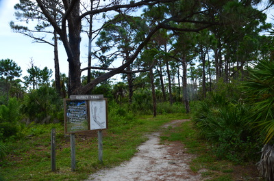
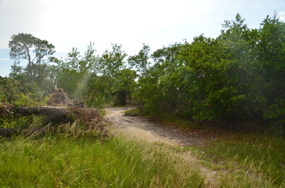
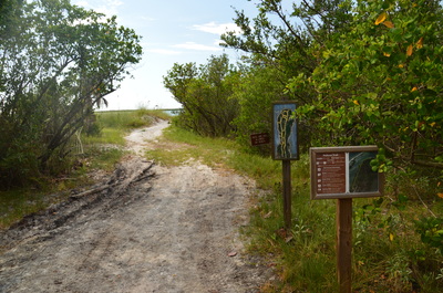
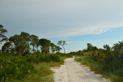
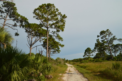
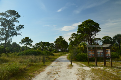
The hike begins on the Osprey Trail at the northeastern corner of the picnic area. Several signs mark the beginning of the trail. Begin following the path under a mostly pine forest. Shortly from the beginning, the trail turns left onto a wider track - and it remains this wide for most of the way. Interpretive signs line the trail, and regular shortcuts take off to the left to connect with the other side of the Osprey Trail and the Pelican Cove Trail. There is a shortcut once in approximately every two tenths of a mile to quarter mile until the end of the first mile. The main trail generally heads northward towards the tip of the peninsula. The forest here is typical, so there isn't much to see - but keep an eye out for ospreys flying overhead or hawks perched on the larger trees. If you're lucky, maybe you will even spot a bald eagle.
At a mile from the beginning of the hike, the last shortcut leaves off to the left. The following stretch of the Osprey Trail, between the shortcut and Pelican Cove Trail, is closed during eagle nesting season, which is from October to May. Since I was doing this hike during June, I was able to continue forward. I did not find the old bald eagle nest from the spring, although according to a map, it's just east of the trail halfway between the shortcut and the Pelican Cove Trail.
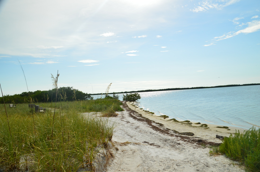
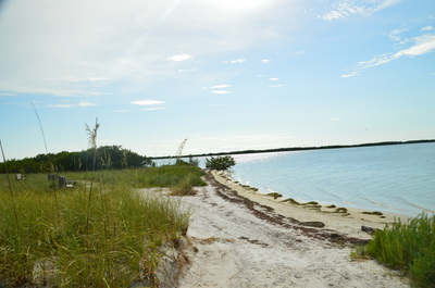
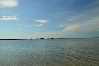
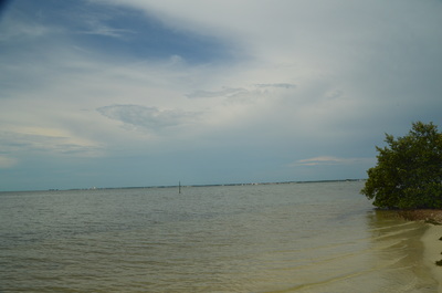
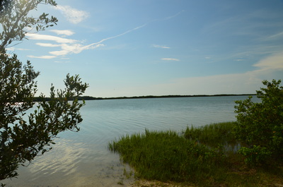
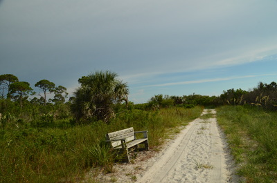
As the Osprey Trail approaches the end of the peninsula, a wall of mangroves appears up ahead and the trail curves left, reaching the Pelican Cove junction at 1.15 miles. Here the Osprey Trail bears left on its way back south to the parking area. The Pelican Cove Trail leaves to the right. The Pelican Cove Trail is definitely the more scenic route, as it follows Pelican Cove most of the time; thus, I suggest using that trail. Turn right onto the Pelican Cove Trail. The trail exits out into an open sandy area with sea oats. Shortly afterwards, the trail reaches the tip of the peninsula at 1.2 miles, where there is a small beach area along the bay and a fantastic view of Pelican Cove, Honeymoon Island, and St. Joseph Sound. This is the highlight of the hike for me, and there are a couple of benches placed for you to admire the view. I have read that there is a good chance to spot dolphins and/or manatees here.
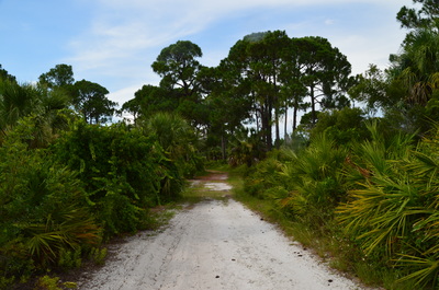
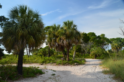
Following this scenic area, the trail bends left (south) and begins following a double-track sandy route along Pelican Cove. The land here is a lot more open, with tall pines to the left and occasional cabbage palms lining the trail. As you follow the trail southwards, don't miss the several other views of Pelican Cove. There will be a total of three shortcuts back to the Opsrey Trail; however, keep following the Pelican Cove Trail. Near the end of the trail, I saw a gopher tortoise - my third one on this day. I managed to get a great picture of the tortoise's head.
Leaving Pelican Cove, the Pelican Cove Trail ends at a signed junction with the Osprey Trail's west side. Turn right here and follow the Osprey Trail southward. The Osprey Trail returns into the pines be ending back near the picnic area at 2.4 miles. Follow the paved path through the picnic area and to your car, concluding the hike at 2.5 miles. Mileage
0.0 - Honeymoon Island Picnic Area
1.0 - Beginning of seasonal closure due to eagle nest 1.2 - Scenic view of Pelican Cove and St. Joseph Sound 2.5 - Honeymoon Island Picnic Area Variations
Hike out and back to scenic view via Osprey Trail (east) - 2.4 Miles
Bonus Stops
PicturesVideos
3 Comments
9/19/2016 07:48:45 am
3 great suggestions that I will probably visit when the temperatures drop a bit more, hiking in this weather isn't too fun especially since there's probably not a lot of shade or tree cover.
Reply
Mark Oleg
9/19/2016 09:27:44 am
Good idea. I don't mind the heat on most of my Florida hikes, and I had no problem on this one, considering that it's fairly short. But the mosquitoes are a problem especially on Caladesi Island.
Reply
Leave a Reply. |
About MeMark Oleg Ozboyd Dear readers: I have invested a tremendous amount of time and effort in this website and the Georgia Waterfalls Database the past five years. All of the work that has gone in keeping these websites updated with my latest trip reports has almost been like a full-time job. This has not allowed me to pick up a paid job to save up money for college, and therefore, I I've had to take out loans. If you find the information on this website interesting, helpful, or time-saving, you can say "thanks" and help me out by clicking the button above and making a contribution. I will be very grateful for any amount of support you give, as all of it will apply toward my college tuition. Thank you!
Coming in 2022-2023?
Other Hiking WebsitesMiles HikedYear 1: 540.0 Miles
Year 2: 552.3 Miles Year 3: 518.4 Miles Year 4: 482.4 Miles Year 5: 259.9 Miles Archives
March 2021
Categories
All
|




 RSS Feed