Hinson Conservation & Recreation Area (Chipola River Greenway): Hinson Trail, Marianna, Florida5/25/2017 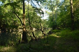
The Chipola River in the Central Florida Panhandle is preserved through many conservation areas, perhaps the best-known of which is Florida Caverns State Park. South of Marianna, however, lies a conservation area that is less-visited but no less interesting: the Hinson Recreation Area, which has a beautiful loop trail that is maintained by the Florida Trail Association. The Hinson Trail presents numerous views of the gorgeous Chipola River, and additionally, there are other highlights that include several sinkholes, an impressive cave that is also a natural bridge, and an abandoned railbed. This hike occurred on Sunday, May 14th, 2017. My plan was to hike the Hinson Loop Trail counter-clockwise from the trailhead at the end of Gator Hole Lane.
Summary
R/T Length of Trail: 3.9 Miles
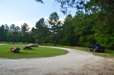
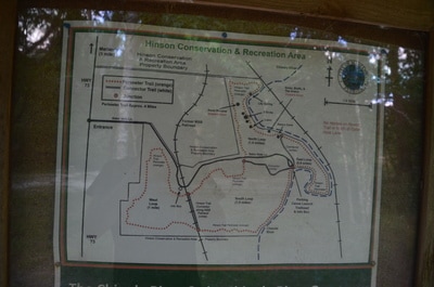
Duration of Hike: 1:50 Type of Hike: Loop Difficulty Rating: 2 out of 10 Total Elevation Gain: 200 Feet Pros: Plentiful river views and unusual sights such as Alamo Cave, a natural bridge Cons: Trail can be overgrown in clearings Points of Interest: Alamo Cave; Old cabin; Three sinkholes; Lily Spring (when it is not dry); abandoned railroad Trail Blaze Colors: Hinson Trail - Orange; Cross-trails - White Best Seasons to Hike: Year-round Fees: None Beginning Point: Kayak put-in for Chipola River at end of Gator Hole Lane Directions from Marianna, FL: From the intersection of Jefferson Street (FL 73) and Lafayette Street (US 90) in downtown Marianna, follow Jefferson Street South for 1.3 miles. Then, turn left onto unpaved Gator Hole Lane. Passing through a gate, continue for 1.2 miles to the end of the road and trailhead parking area at the Chipola River. Map
Click here to download a track of this hike.
Details
The Hinson Conservation & Recreation Area near Marianna is just one of many such conservation areas along the course of the Chipola River, which is one of the Central Florida Panhandle's many beautiful blackwater rivers. In the Hinson Conservation Area, the Hinson Trail provides a taste of what the Chipola River area has to offer, ranging from rock formations and rugged terrain along the cypress-lined river to dense woods in the uplands above it. A number of cross-trails allow hikers to hike loops of length ranging from under a mile to nearly four miles.
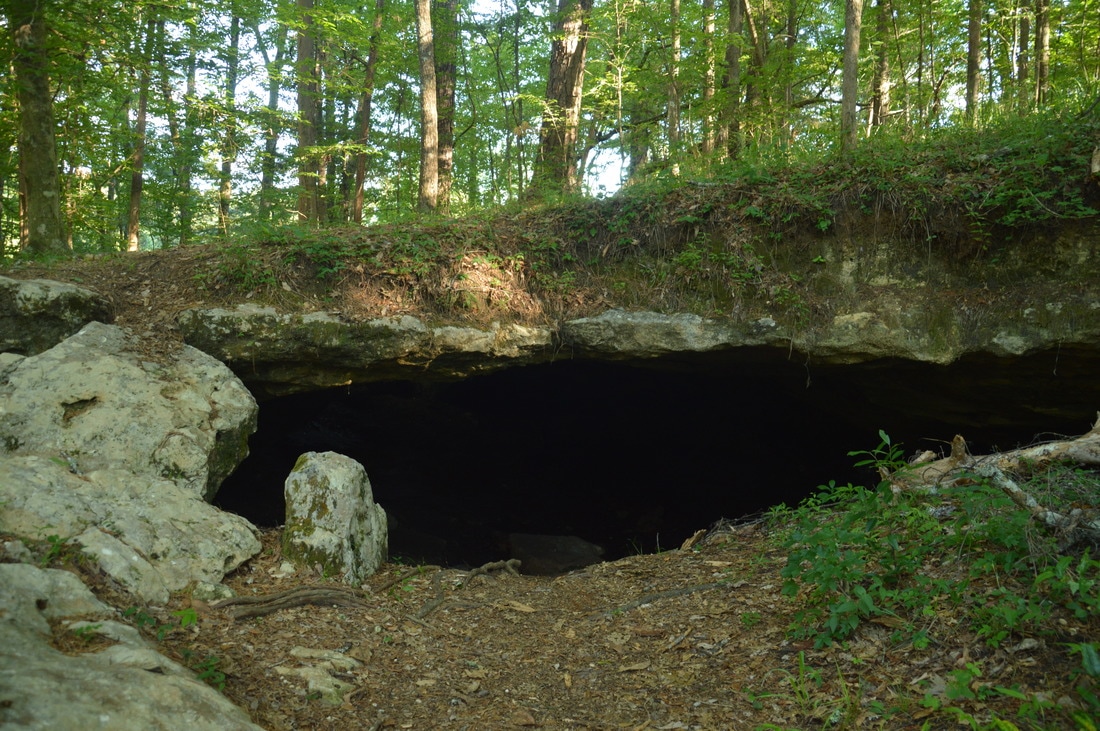
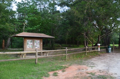
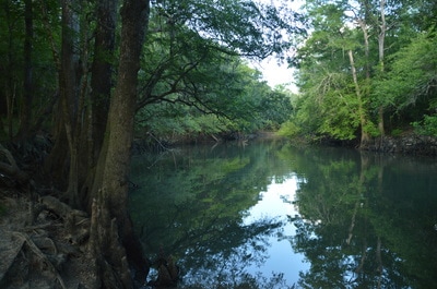
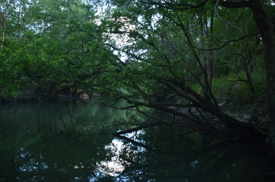
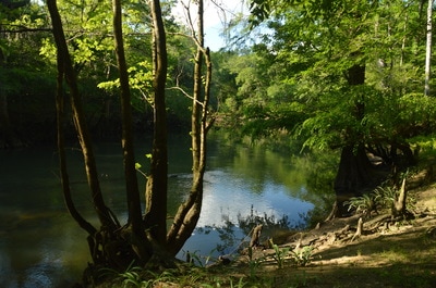
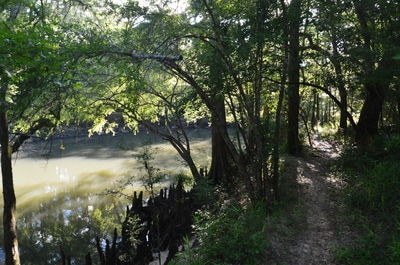
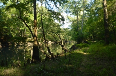
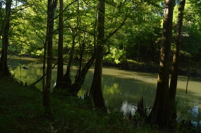
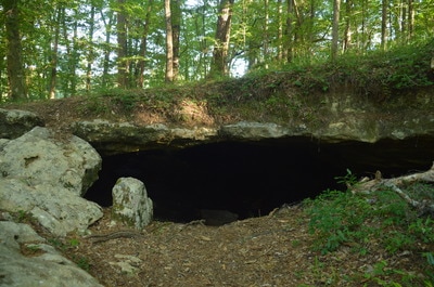
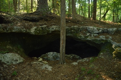
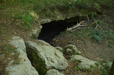
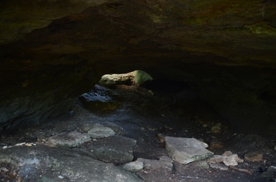
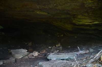
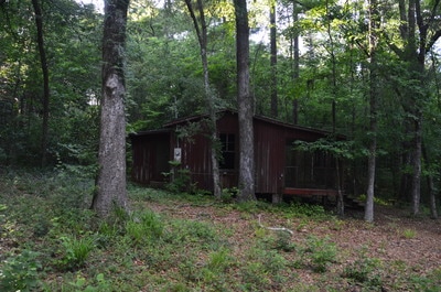
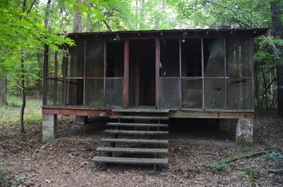
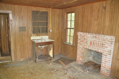
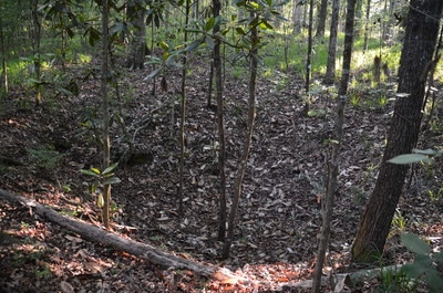
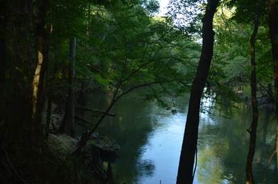
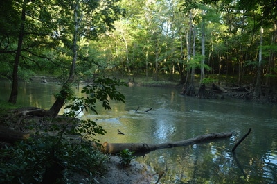
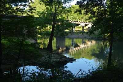
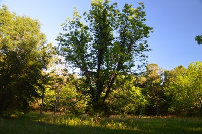
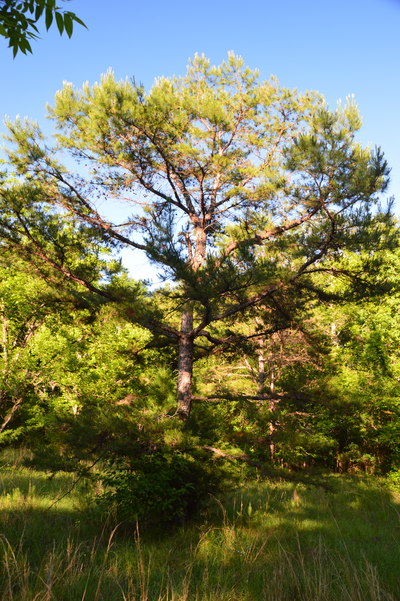
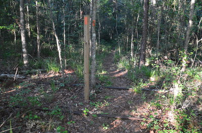
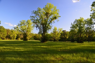
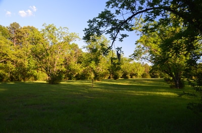
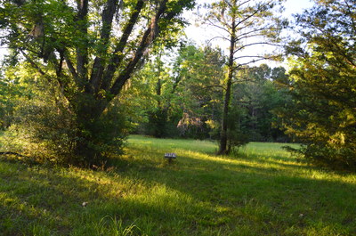
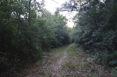
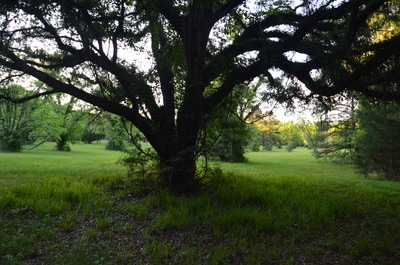
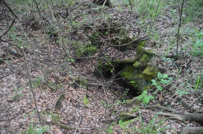
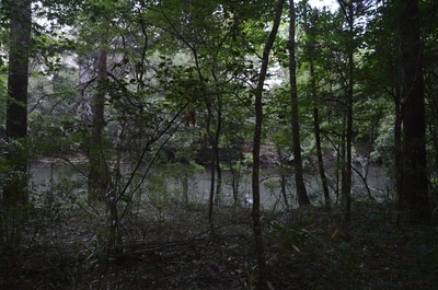
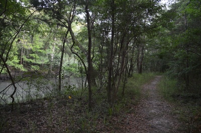
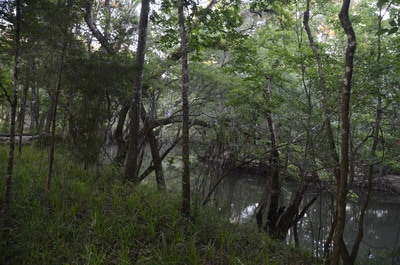
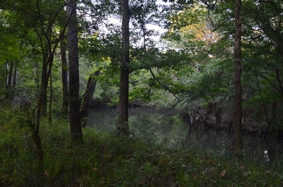
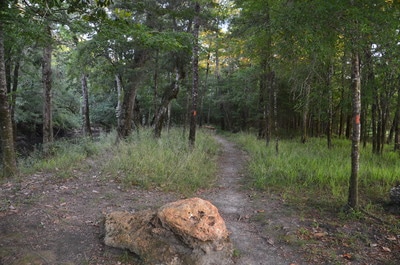
The hike along the Hinson Trail begins at the trailhead kiosk at the kayak put-in near the end of Gator Hole Lane. To hike the loop counter-clockwise, bear left and begin following the orange-blazed Hinson Trail upstream along the Chipola River. At low water, numerous picturesque cypress knees are revealed along the edges of the river's still waters. The trail closely follows the edge of a peninsula before turning north and following the Chipola River along a single-track footpath, reaching Alamo Cave at 0.8 miles, just as the first and most distinct cross-trail leaves left back to the trailhead. Alamo Cave is actually a natural bridge, although the front opening is significantly wider than the back opening. For me, the large and tall cave (by Florida standards, at least) was the highlight of the hike. Even though the whole loop is well worth doing, I suggest just doing the short Alamo Cave Loop if you have time for nothing else. After Alamo Cave, the Hinson Trail ascends above the river to bypass a particularly steep area, and at 0.95 miles, the trail reaches an old cabin at the end of a forest road. The trail passes to the right of the cabin, and soon after, you will see three sinkholes in a row to the left, the largest of which is the second one. This is when the Hinson Trail returns to the Chipola River, crossing the outflow of a small spring named Lily Spring at 1.1 miles. Both the spring and the outflow channel were completely dry today. At 1.2 miles, the Hinson Trail makes a sharp left turn away from the Chipola River. At the same time, an active railroad bridge is visible ahead through the trees. The trail then gradually ascends out of the river valley, approaching the top of a hill in a clearing at 1.6 miles. Portions of the Hinson Conservation Area used to be a pecan farm, and today, you will see old pecan trees in the clearings that the trail passes through, such as this one. At 1.75 miles, the Hinson Trail crosses Gator Hole Lane and then reaches a junction with the second cross-trail. A post marks the cross-trail as it leaves to the left to the trailhead, but it appeared to be rather overgrown. The main trail stays somewhat parallel to Gator Hole Lane, passing along the edge of a clearing and reaching the tracks of the former M&B Railroad at 2.15 miles.
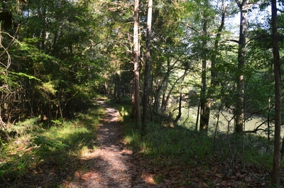
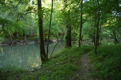
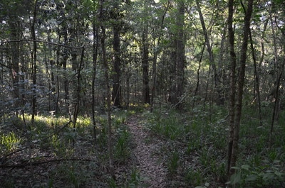
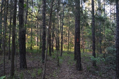
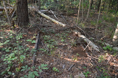
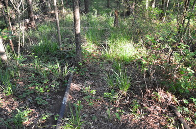
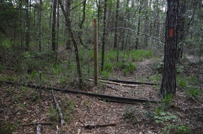
The M&B Railroad operated for 63 years between Marianna and Blountstown, and it even provided passenger service in its only years, but in 1972, it was abandoned. Today, the tracks of the former railroad are overgrown but still there, crossing the Hinson Trail twice. The third and final cross-trail of the hike actually takes off to the left down the old railroad tracks, but it appeared to be overgrown as well. I think that the only cross-trail that is well-used is the one by Alamo Cave, since it provides a shortcut to one of the Hinson Conservation Area's main highlights. After the old railroad tracks, the trail enters a very large clearing, where wooden posts with orange blazes guide the trail to the woods on the other side. Shortly afterwards, an orange blaze directs the trail slightly to the left and off the obvious route. Then, the trail circles around the edge of yet another clearing and then enters it, approaching a bench at 2.55 miles. This is where things get a bit confusing due to a lack of blazes. Stay to the right, closer to the bench, and keep walking through tall grass to the other end of the clearing, where there will be an obvious opening in the woods that is the continuation of the trail. The narrow trail then passes over a series of hills before turning left onto an old forest road. Curving back eastward, the trail briefly passes through the south end of the very large clearing that you were in earlier and then crosses the former M&B Railroad tracks again at 3.2 miles. A gentle descent brings the trail back to the Chipola River, which it reaches at 3.5 miles. Here, turn left onto the Chipola River Greenway itself (it comes in from the right). The remainder of the hike is on a broad pathway that follows the Chipola River upstream back to the trailhead, affording more views of this scenic waterway in the meantime. You will reach the end of the Hinson Loop at 3.9 miles, concluding the hike back at the trailhead.
Mileage
0.0 - Gator Hole Lane
0.8 - Alamo Cave 0.95 - Old Cabin 1.1 - Lily Spring 1.2 - Railroad Bridge 1.75 - Gator Hole Lane 2.15 - Former M&B Railroad Tracks 3.2 - Former M&B Railroad Tracks 3.9 - Gator Hole Lane Variations
Hike just the Alamo Cave Loop (East Loop) - 0.9 Miles
Bonus Stops
The nature trail at Florida Caverns State Park is one of Florida's most unique short trails and is well worth a visit for further immersion in the Chipola River area following the hike at the Hinson Trail.
PicturesVideos
0 Comments
Leave a Reply. |
About MeMark Oleg Ozboyd Dear readers: I have invested a tremendous amount of time and effort in this website and the Georgia Waterfalls Database the past five years. All of the work that has gone in keeping these websites updated with my latest trip reports has almost been like a full-time job. This has not allowed me to pick up a paid job to save up money for college, and therefore, I I've had to take out loans. If you find the information on this website interesting, helpful, or time-saving, you can say "thanks" and help me out by clicking the button above and making a contribution. I will be very grateful for any amount of support you give, as all of it will apply toward my college tuition. Thank you!
Coming in 2022-2023?
Other Hiking WebsitesMiles HikedYear 1: 540.0 Miles
Year 2: 552.3 Miles Year 3: 518.4 Miles Year 4: 482.4 Miles Year 5: 259.9 Miles Archives
March 2021
Categories
All
|

 RSS Feed