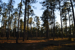
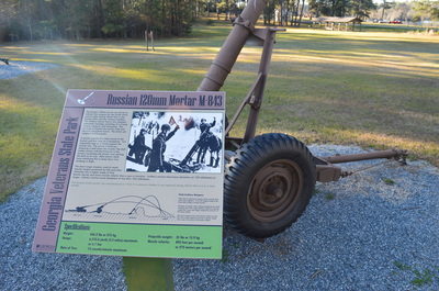
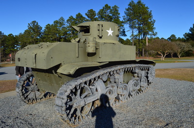
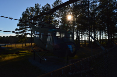
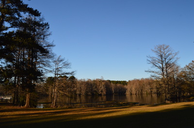
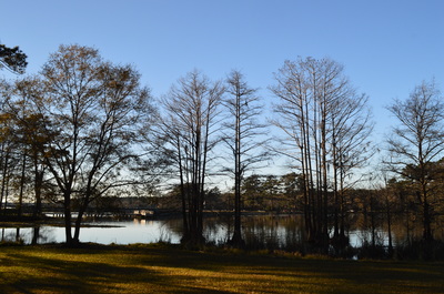
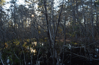
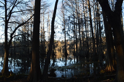
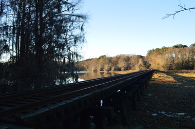
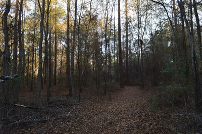
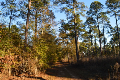
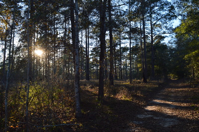
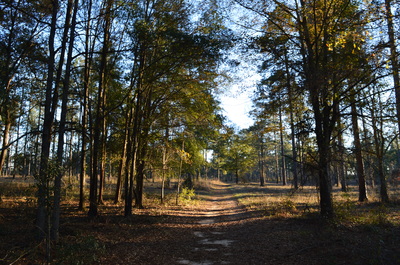
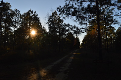
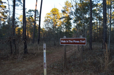
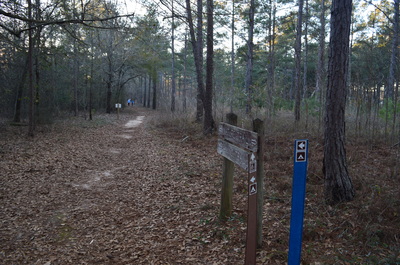
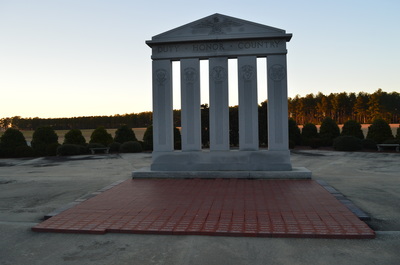
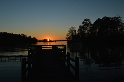
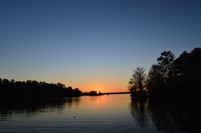
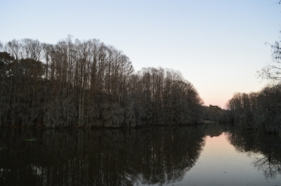
 It's a rare occurrence to find a relatively major trail system in inland southern Georgia. The Georgia coastline features a number of parks and hiking trails, but as you head inland, there's very few preserved areas that you can find west of the Okefenokee Swamp. Georgia Veterans Memorial State Park is one of these few places. In this extensive state park located on the eastern shore of Lake Blackshear, explore several miles of trails along a finger of Lake Blackshear and through a longleaf pine forest. This hike occurred on Saturday, January 30, 2016. My plan was to hike the Lake Shore Trail and the Yucca Trace Trail. It appears that the trail map on the Georgia State Parks website is outdated, and there is a new Walk-in-the-Pines Trail. Thus, I was able to use this new trail to connect the other two trails. SummaryR/T Length of Trail: 3 Miles Duration of Hike: 1:15 Type of Hike: Loop Difficulty Rating: 1 out of 10 Total Elevation Gain: Minimal Pros: The trails showcase rare longleaf pine forest Cons: None Points of Interest: Views of cypress-lined Lake Blackshear; longleaf pine forest Trail Blaze Color(s): Lake Shore Trail - None; Walk-in-the-Pines Trail - Yellow; Yucca Trace Trail - Blue Best Season(s) to Hike: Year-round Fees: There is a park entrance fee of $5 per vehicle. Beginning Point: Lake Shore Trailhead near Picnic Shelter just to the northeast of the Visitor Center Directions: From Cordele, GA: Follow US Route 280 West for about 8 miles. Then, turn left and enter Georgia Veterans Memorial State Park. Continue on the park entrance road for 0.5 miles. After a bridge over a finger of Lake Blackshear, and just before reaching the Visitor Center, turn left onto a gravel road. Shortly afterwards, reach a turnaround at the start of the Lake Shore Trail. Park here. I accidentally deleted my GPS track for this hike, so unfortunately, I do not have a map available. If you would like for me to show a sketch of my route, please contact me - I can make one and send it to you. DetailsPrior to doing this hike, I highly recommend taking a look at the Visitor Center and the Outdoor Ordnance Exhibit. There is some interesting World War II information here. After viewing the exhibit, start the hike on the Lake Shore Trail. The Lake Shore Trail follows a finger of Lake Blackshear. 0.15 miles from the start, a short side trail heads to the right to an observation deck at a wetland. While an interpretive sign has information about alligators, I didn't see any alligators here on this day. Following the side trail, continue on the main trail and shortly reach a stand of cypress trees at the edge of the lake. This is a photogenic location. At 0.2 miles, the trail makes a sharp right turn. The SAM Shortline Excursion Railroad lies straight ahead. The railroad is for tourists from the park, who would like to explore some of the nearby historic towns such as Cordele and Americus. You can walk out on the railroad and get a good view of the lake from the bridge. Meanwhile, the main trail leaves the thicker woods near the shore and enters woods that begin to transition to the longleaf pine forest. At 0.3 miles, turn left on an old dirt road. The road also goes right, but that area is not part of the trail. At 0.4 miles, reach the end of the Lakeshore Trail. Here, the Walk-in-the-Pines Trail begins. This trail is a loop, but since I was doing a bigger loop, I followed the longer part of the loop. Thus, continue straight into the longleaf pine forest, parallel to the railroad. Most of this trail follows wide routes that are likely all service roads. However, the attention is diverted from the roads to the splendor of the longleaf pine forest. At 0.5 miles, cross a dirt road that leads to the park's pioneer camping area. At 0.7 miles, turn right onto another old road as one dirt road continues straight. You are now heading away from the railroad tracks. You will top a small hill and cross yet another dirt road at 0.9 miles. After the trail curves some more through the pine forest, reach an intersection at 1.2 miles. Here, the Walk-in-the-Pines Trail turns right and continues the loop back towards the Lake Shore Trail. To the left, a connector trail leads to Yucca Trace Trail. Take this connector trail. At 1.3 miles, reach the main park road. Cross the road and continue straight onto the Yucca Trace Trail. At 1.95 miles, a spur trail goes left to the park's campground. Continue straight on an arrow-straight, wide, and flat trail. At 2.4 miles, reach the end of the Yucca Trace Trail at the parking area for disc golf. You have a decision to make here. You can walk the road for 0.6 miles back to the trailhead, or you can retrace your steps to get back via trail. Since I was short on time, and I wanted to get a shot of the sunset on Lake Blackshear, I decided to do the roadwalk option. If you decide to do the roadwalk, turn right onto the road, follow it along the model airplane strip. At the Veterans Memorial, turn left onto the main park road, and continue past the Visitor Center to the gravel road (that will be to your right), which leads to the trailhead. VariationsEliminate roadwalk by retracing your steps from the Yucca Trace Trailhead - 4.7 Miles Bonus StopsMake sure to get a good view of the full Lake Blackshear from the park's marina or hotel areas. Also, take a moment to photograph the cypress-lined shoreline that is seen from the bridge just before the Lake Shore Trailhead. PicturesPart 1: Photos from the Outdoor Ordnance Exhibit near the Visitor Center. Part 2: Photos from the hike. Videos
0 Comments
Leave a Reply. |
About MeMark Oleg Ozboyd Dear readers: I have invested a tremendous amount of time and effort in this website and the Georgia Waterfalls Database the past five years. All of the work that has gone in keeping these websites updated with my latest trip reports has almost been like a full-time job. This has not allowed me to pick up a paid job to save up money for college, and therefore, I I've had to take out loans. If you find the information on this website interesting, helpful, or time-saving, you can say "thanks" and help me out by clicking the button above and making a contribution. I will be very grateful for any amount of support you give, as all of it will apply toward my college tuition. Thank you!
Coming in 2022-2023?
Other Hiking WebsitesMiles HikedYear 1: 540.0 Miles
Year 2: 552.3 Miles Year 3: 518.4 Miles Year 4: 482.4 Miles Year 5: 259.9 Miles Archives
March 2021
Categories
All
|






 RSS Feed