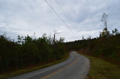
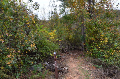
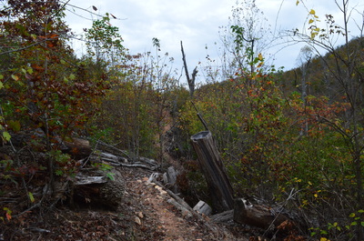
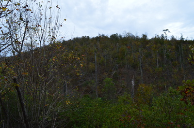
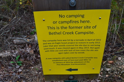
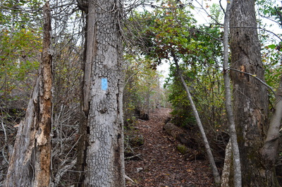
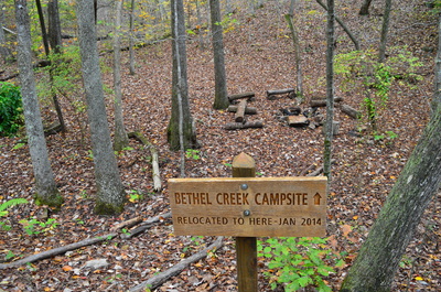
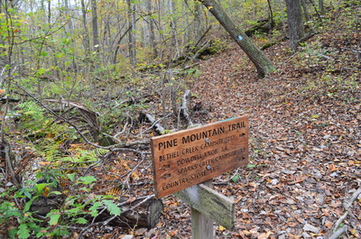
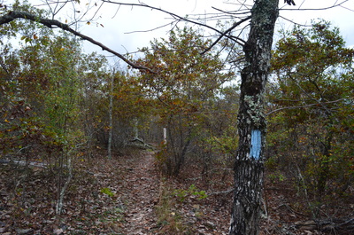
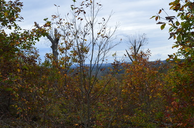
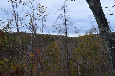
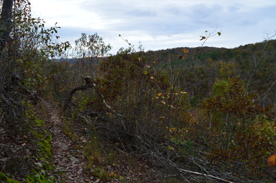
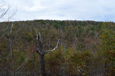
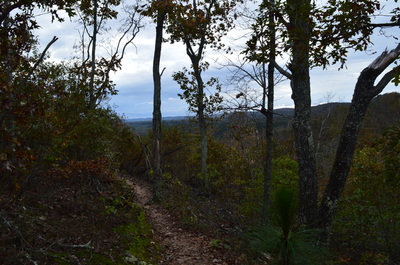
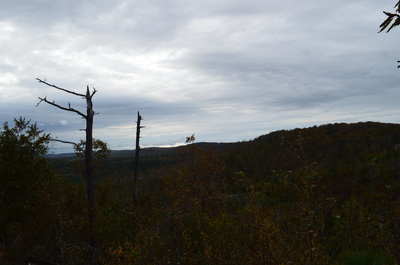
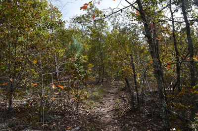
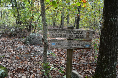
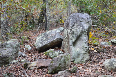
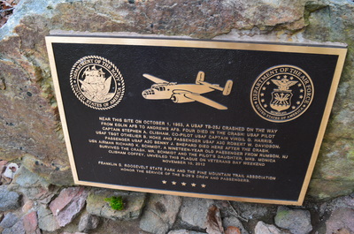
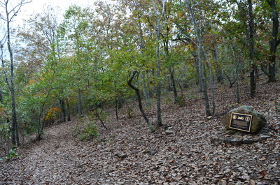
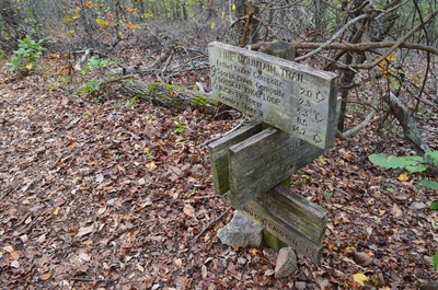
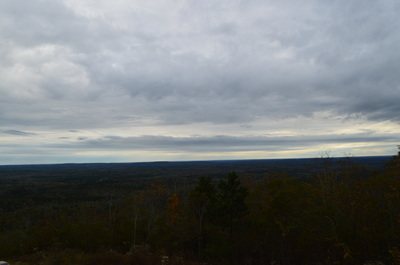
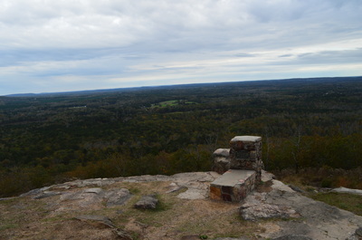
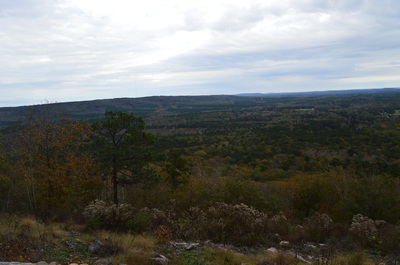
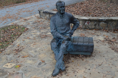
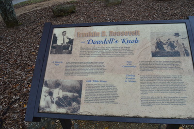
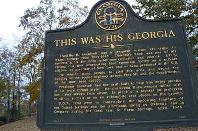
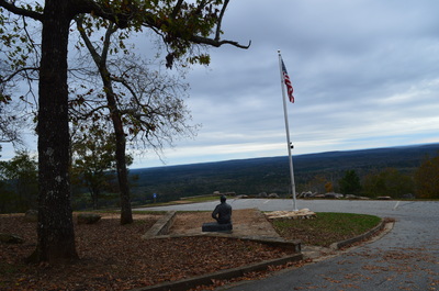
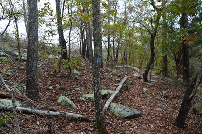
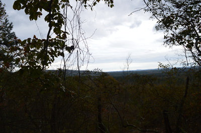
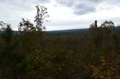
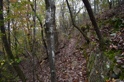
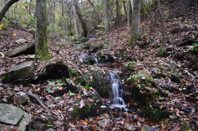
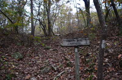
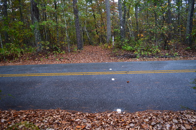
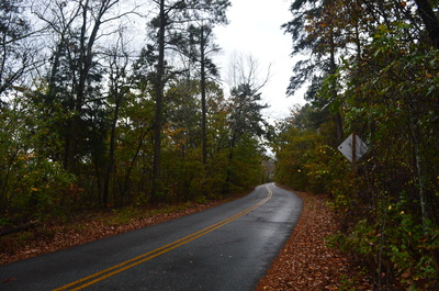
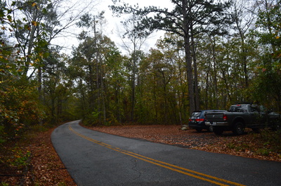
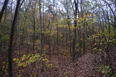
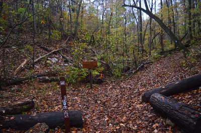
Franklin Delano Roosevelt State Park: Dowdell Knob Loop via Hines Gap Road, Pine Mountain, Georgia12/17/2015 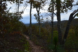 The Pine Mountain Trail is a 23 mile trail that travels across the majority of Pine Mountain Range, an elevated tract of land located in southwest Georgia. The ridge is the southernmost area of land in the eastern US that is higher than 1000 feet above sea level, and in fact, the ridge's high point, Dowdell Knob, that this hike visits, is nearly 1400 feet high. The ridge stretches from Lake Harding on the AL/GA border to the Flint River near Thomaston. This hike occurred on Saturday, November 7, 2015. My plan was to follow the Pine Mountain Trail from Hines Gap Road over Dowdell Knob to the second junction with Boottop Trail. I would then return via the Boottop Trail. SummaryR/T Length of Trail: 6.3 Miles Duration of Hike: 4:00 Type of Hike: Lasso Difficulty Rating: 3 out of 10 Pros: Easy-to-follow, well-built trails Cons: Dowdell Knob Overlook has road access, resulting in some crowds Points of Interest: Dowdell Knob Overlook - 6 stars Trail Blaze Color(s): Pine Mountain Trail - Blue; Boottop Trail - White Best Season(s) to Hike: Year-round Beginning Point: Hines Gap Road Trailhead Directions: From Pine Mountain, GA: Follow GA State Route 354 South for 2.5 miles from US Route 27. Then, take the exit on the right to GA State Route 190. Shortly afterwards, turn left onto GA-190 and follow it for 3.7 miles. Then, turn right onto Hines Gap Road. Follow it for 0.4 miles to where the Pine Mountain Trail crosses the road. A small parking area is located on the left side of the road just after the trail crossing. MapA map and some other information regarding this hike can be viewed here. DetailsThis was my fifth hike in F.D. Roosevelt State Park. Every once in a while, I head back to the park for an easy hike after many difficult mountain hikes. Throughout the hikes I've done in this park, I've seen a few small vistas, but I have to say that the Dowdell Knob Overlook is by far the best I've been to inside the park. Located on the highest point of the Pine Mountain Range, Dowdell Knob, this vista provides a 90-degree view to the south, southeast, and east. Dowdell Knob and its vista is the main point of interest on this hike. The hike starts at Hines Gap Road, and uncommon starting point (most folks will start either from Dowdell Knob Overlook or Boottop Trailhead). From Hines Gap Road, take the trail eastward across the slopes of the Pine Mountain ridge. During the first quarter-mile, tornado damage has opened up some views of the Bethel Creek valley and Dowdell Knob on the other side of it. Trail crews have done an excellent job of repairing the trail here following the tornado damage several years ago. At 0.4 miles, the trail approaches Bethel Creek (which will be merely a trickle if there hasn't been recent rain). Around here is the old location of Bethel Creek Campsite. The campsite became abandoned and was dismantled following the tornado damage that occurred here. At 0.7 miles, reach the new site of Bethel Creek Campsite. This is a rather small campsite located near Bethel Creek, which is just a tiny stream at this point. At 0.8 miles, reach the first junction with the Boottop Trail. This is the start of the loop. The Boottop Trail continues straight to Dowdell Knob Road, while the Pine Mountain Trail turns right towards the summit of Dowdell Knob and its vista. Turn right. The trail crosses the dry streambed of Bethel Creek and makes a couple of switchbacks before leveling out with some occasional gradual ascent on the west side of Dowdell Knob. Between 1.6 miles and 1.8 miles, some views open up into the Bethel Creek valley and beyond. You will be able to see the main Pine Mountain ridge extending west, as well as a broad valley below it. Also, you will be able to see Hines Gap Road and you might spot your own car at the trailhead below you. If measuring straight-line distance, you're only 0.1 miles from the trailhead at this point! From this vista, the trail bears left and ascends gradually up Dowdell Knob. At around 1.85 miles, a spur trail to the right leads to private property on Hines Gap Road. Continue straight on the Pine Mountain Trail. At 1.9 miles, a spur trail leads left to "Elephant Rock". It took me a while to figure out what Elephant Rock is, but after a bit if wandering, I located a fairly large rock just above the sign. The front of the rock was shaped like an elephant's head with a trunk. From Elephant Rock, continue on the Pine Mountain Trail, ascending gradually, before reaching the site of a small plane crash at 2.2 miles. The plane crash involved a military jet that crashed into this location on October 1st, 1953. Out of the small plane's five passengers, four were killed, including both pilots. From the plane crash site, the trail ascends just a little bit more now, with some winter views opening up to the south, before reaching an intersection at 2.4 miles. Here, a spur trail leads left to Dowdell Knob parking area and overlook. Turn left. Just afterwards, turn right, and reach the parking area at 2.45 miles. Here, there is a statue in memory of Franklin Delano Roosevelt, along with some information about him. This spot, the view from Dowdell Knob, was one of the spots that were dearest to Franklin D. Roosevelt, and he built his own grill at the vista. The grill is now filled in for preservation purposes, but it is still visible. From the overlook, you can see a broad valley/flat stretching to the horizon to the south and southeast, along with some low-lying hills to the east. From the vista, return to the PMT, reaching it at 2.5 miles, and turn left. The trail descends below the vista and continues to descend down the eastern slopes of Dowdell Knob. There are some winter views to the east. At 3.6 miles, after over a mile of gradual descent, reach Brown Dog Bluff. This is a small rock line that the trail follows and descends. At 3.8 miles, the trail reaches a small stream with a couple of tiny cascades. Here, the PMT turns right, crosses the stream, and begins ascending moderately to Hornet Knob. Just past the stream, a side trail leads left to Brown Dog Campsite, located on a dry slope above the stream. Around here, a sudden downpour began, making me abort my original plan to continue beyond the Boottop Trail to GA-190. At 4.1 miles, the trail reaches the top of Hornet Knob. At 4.2 miles, in the midst of blinding rain, I reached the second junction with Boottop Trail. At this junction, I had the idea to continue following the PMT to GA-190 for some additional mileage, but due to the unexpected rain, I decided against it. Thus, turn left onto Boottop Trail and begin descending into the upper end of the valley that has the small stream crossed earlier. The funny thing is that about 5 minutes after I turned onto the Boottop Trail, the rain ended and the weather improved significantly. At 4.8 miles, the trail makes a brief moderate ascent to Dowdell Knob Road, crossing the road at 4.9 miles. A small parking area for the Boottop Trail is to the right - this is a popular starting point for those who wish to hike the Dowdell Knob Loop without the extension from Hines Gap Road. After the road, the Boottop Trail gradually descends into the Bethel Creek valley. At 5.5 miles, reach the end of the loop back at the Pine Mountain Trail. Retrace your steps straight along the Pine Mountain Trail back to Hines Gap Road, finishing the hike at 6.3 miles. VariationsHike the Dowdell Knob Loop from Boottop Trailhead or Dowdell Knob Overllok without extension from Hines Gap Road - 4.7 Miles Hike to Dowdell Knob Overlook and back from Hines Gap Road - 4.9 Miles Bonus StopsRoadside vista at the Callaway Gardens Country Store at the intersection of US Route 27 and GA Route 190 is a good vista that is almost as good as the Dowdell Knob Overlook. PicturesVideos
1 Comment
8/3/2022 05:40:07 pm
Edirne ECA servisi hizmetlerimiz memnuniyet odaklıdır. Detayları incelemek için hemen web adresimize göz at! https://www.edirneklimaservisi.com/edirne-eca-servisi/
Reply
Leave a Reply. |
About MeMark Oleg Ozboyd Dear readers: I have invested a tremendous amount of time and effort in this website and the Georgia Waterfalls Database the past five years. All of the work that has gone in keeping these websites updated with my latest trip reports has almost been like a full-time job. This has not allowed me to pick up a paid job to save up money for college, and therefore, I I've had to take out loans. If you find the information on this website interesting, helpful, or time-saving, you can say "thanks" and help me out by clicking the button above and making a contribution. I will be very grateful for any amount of support you give, as all of it will apply toward my college tuition. Thank you!
Coming in 2022-2023?
Other Hiking WebsitesMiles HikedYear 1: 540.0 Miles
Year 2: 552.3 Miles Year 3: 518.4 Miles Year 4: 482.4 Miles Year 5: 259.9 Miles Archives
March 2021
Categories
All
|

 RSS Feed