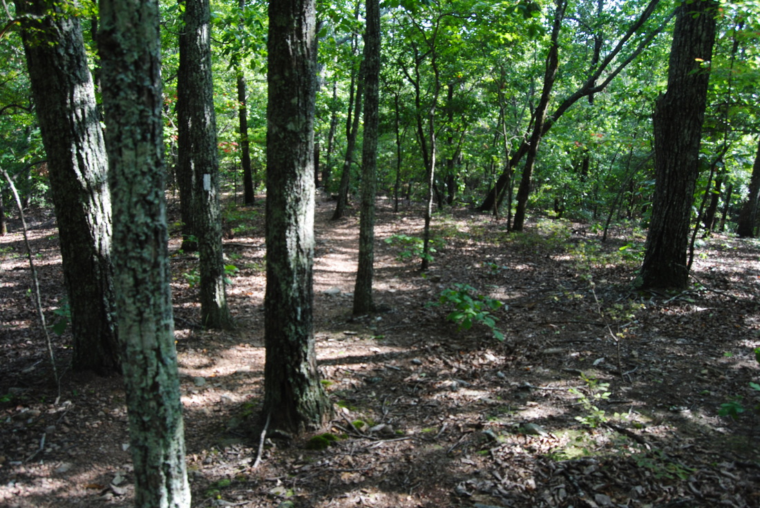
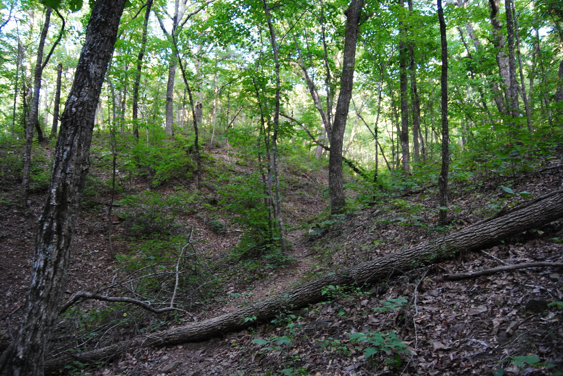
The Franklin Delano Roosevelt State Park is an exception to the ecosystems and land in South Georgia. The park, known as the largest in Georgia, protects a low ridgeline called "Pine Mountain", which is also the route of the 21-mile Pine Mountain Trail. Most of the hikes there are easy, but some of them provide nice views and a relaxing walk in the woods, like the one described in this post. This hike occurred on Saturday, August 23rd, 2014. My plan was to hike the Big Poplar Loop counter-clockwise from the Fox Den Cove Parking Area. I would start off by following the Pine Mountain Trail west, although I would take the Sawtooth Trail shortly to connect back with the Pine Mountain Trail at the Mollyhugger Hill Parking Area. From here, I'd follow the PMT back to Fox Den Cove. R/T Length of Trail: 7.8 Miles Duration of Hike: 3 Hours, 45 Minutes Type of Hike: Loop Difficulty Rating: 4 out of 10 Pros: Many camping areas; well-marked and easy trail Cons: None! Best Season(s) to Hike: Winter Trail Blaze Color(s): Pine Mountain Trail - Light Blue; Sawtooth Trail - White Beginning Point: Fox Den Cove Parking Area on GA State Route 190 Directions: From Pine Mountain, GA: Follow US Route 27 South to GA State Route 354. Turn right on GA-354 and follow it for 2.5 miles to the ramp for GA Sate Route 190. Turn right on the ramp, and then turn left onto GA-190. Follow GA-190 for about a mile until the Fox Den Cove Parking Area on the left. Okay, let's get this straight - there's probably no good hiking trails in the Piedmont (I have yet to see if Providence Canyon is an exception), but there's some that are bad and some that are fair, and this hike falls into the "fair" category. You won't see much on this hike besides many springs and hills... and a few sporadic views. there is no major difference in which direction hiking this trail. I hiked it counter-clockwise, so from the Fox Den Cove Parking Area, cross HWY 190 to where it says "Pine Mountain Trail". Follow the PMT for 0.2 miles, heading downhill on a wide path. At 0.2 miles, a properly-signed junction marks the start of the Sawtooth Trail. The PMT continues downhill, eventually to the state park's visitor center, but for this hike's purposes, turn left onto the Sawtooth Trail.
The Sawtooth Trail, over its 2 mile stretch, follows primarily one elevation contour, so it's easy. It starts off by losing some elevation, but after hitting a small stream, it just kept following the slopes of the ridges. It stayed generally monotonous, crossing a few horse trails in the meantime, until it ascended a bit to reach the Pine Mountain Trail again at 2.2 miles. Turn left here. It's 6.6 miles back to the starting point. Right away, the PMT crosses HWY 190 just below the Mollyhugger Hill Parking Area and starts descending steadily on the other side. The descent was nearly a mile into the Beech Bottoms campsite area. The trail crossed a small creek down here and proceeded to ascend the next ridgeline which had some nice views of where I came from. I could see Mollyhugger Hill, and also I could see a hotel lower down the ridgeline. Another long descent led to Jenkins Spring campsite at 5 miles. The trail crossed the small stream known as Jenkins Spring and switchbacked to yet another ridgeline. It was here where I saw a tree hit by lightning. I never saw something like that before! After this, the trail was gently descending along the slope for a long time, passing two more campsites. At 7.3 miles, the PMT reached the Pool Trail. There was 0.5 miles left. There were some cliffs here where you have to scramble don the rocks. This is the only somewhat tricky section of the trail. Just keep following the main path DOWNHILL until yu reach some flats at the bottom (possibly a spring). It's all easy from here - follow the wide path uphill until you reach the well-signed Fox Den Cove parking Area access. Finish your loop at 7.8 miles. Below are a few pictures from this hike. It's a nice afternoon stroll for local... and rally good for jogging too.
2 Comments
8/3/2022 05:30:43 pm
Edirne ECA servisi için hemen websitemize göz at! https://www.edirneklimaservisi.com/edirne-eca-servisi/
Reply
You say the Pine Mountain Trail is 21 miles. It is 23. The Sawtooth Trail section of 7.8 mile Big Poplar Loop is 2.7 miles NOT 2.2. When you reach the east end of the Sawtooth Trail and turn left it is 5.1 NOT 6.6 miles back to Fox Den Cove Parking Lot. . On the big Poplar Loop there are 4 backcountry campsites on the PMT section and 2 on the Sawtooth Trail section. From Molly Hugger Hill it is further than "nearly a mile" to Beech Bottom Campsite hiking west. See SITE DESCRIPTIONS on our website www.pinemountaintrail.org. The trail near Fox Den Cliff there is NO scrambling down rocks. Narrow path along cliff edge. Sounds like you got off trail. Glad to mail you a 2026 map I edited and we just had printed to confirm. Jim Hall of the Pine Mountain Trail Association Board. 706-325-4113
Reply
Leave a Reply. |
About MeMark Oleg Ozboyd Dear readers: I have invested a tremendous amount of time and effort in this website and the Georgia Waterfalls Database the past five years. All of the work that has gone in keeping these websites updated with my latest trip reports has almost been like a full-time job. This has not allowed me to pick up a paid job to save up money for college, and therefore, I I've had to take out loans. If you find the information on this website interesting, helpful, or time-saving, you can say "thanks" and help me out by clicking the button above and making a contribution. I will be very grateful for any amount of support you give, as all of it will apply toward my college tuition. Thank you!

Coming in 2022-2023?
Other Hiking WebsitesMiles HikedYear 1: 540.0 Miles
Year 2: 552.3 Miles Year 3: 518.4 Miles Year 4: 482.4 Miles Year 5: 259.9 Miles Archives
March 2021
Categories
All
|


RSS Feed