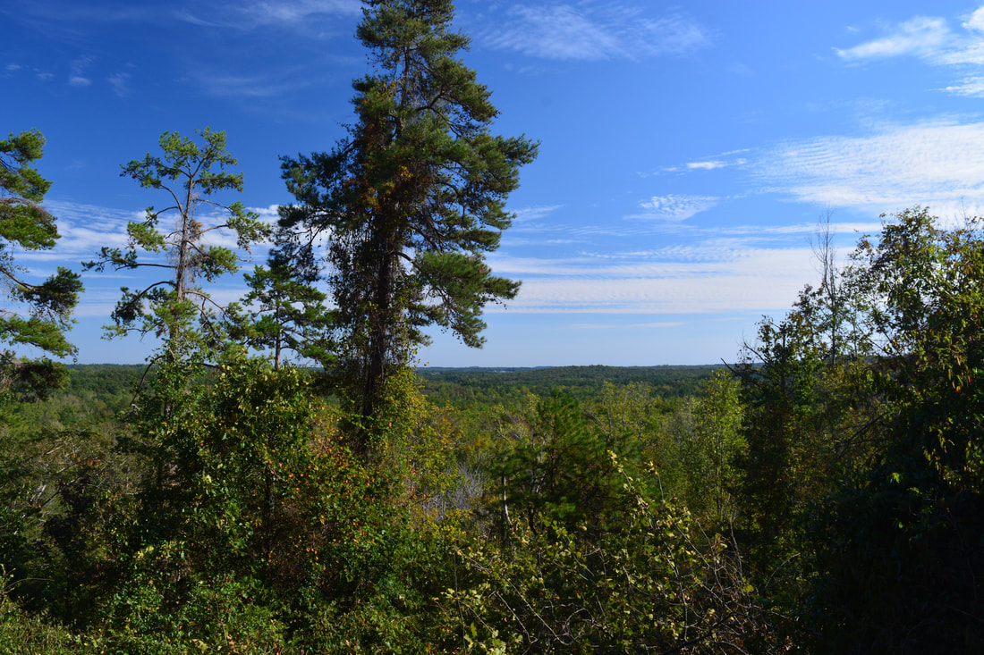
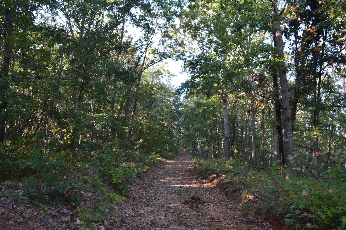
The Frady Branch Trail System is an often-overlooked collection of trails in the Lake Russell Wildlife Management Area near Toccoa. Even though the Frady Branch Trail System is located entirely in a low-elevation area with no mountain views, it has a surprising amount of points of interest, including three historic homesites, a small quarry, two ancient cemeteries, and perhaps most importantly: a 50-foot waterfall in the headwaters of Big Leatherwood Creek. Even though Big Leatherwood Falls is less than a quarter-mile from an official trail, it is a very little-known waterfall in a gorgeous pristine setting. Additionally, there is a second smaller waterfall along the loop - although both waterfalls are best seen during wet periods when they have the most water in them. This hike occurred on Saturday, September 30th, 2017. My plan was to hike the perimeter loop along the Frady Branch Trails clockwise.
Summary
R/T Length of Trail: 11.3 Miles
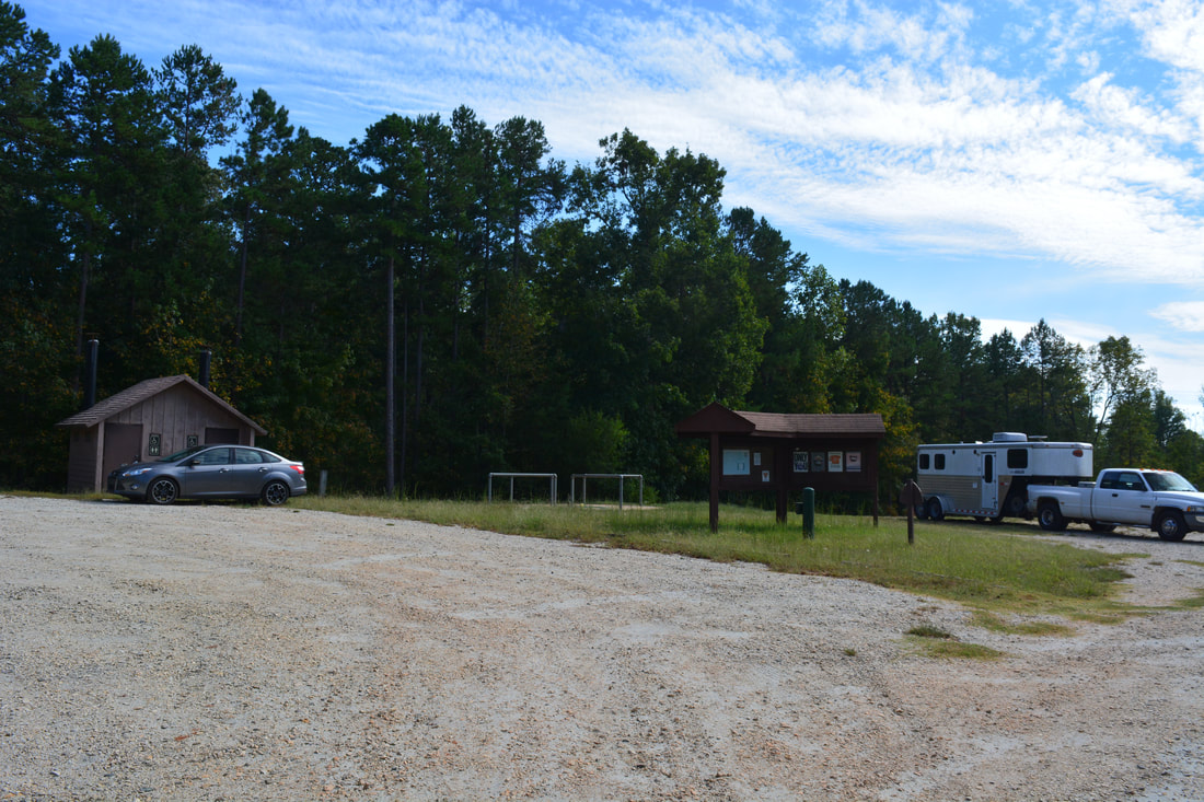
Duration of Hike: 5:30 Type of Hike: Lasso Difficulty Rating: 5 out of 10 Total Elevation Gain: 1402 Feet Pros: Numerous interesting historic sites Cons: The trails are multi-use and partially follow gated forest roads Points of Interest: Farabrew Cemetery; Joanna Gibson Housesite; Mary Steele Falls - 2 stars (with adequate flow); Old Still & Quarry; Big Leatherwood Falls - 6 stars (with adequate flow); John Lathan Sr Housesite; Lathan-Edmonds Cemetery; William Marion Edmonds Housesite Trail Blaze Colors: Big Leatherwood Creek Trail - Orange; Pear Orchard Trail - Red; Lathan Cemetery Trail - Blue; Frady Branch Trail - Yellow; Perimeter Trail - White (Note: the Frady Branch Trail System is poorly blazed although there are mostly good signs at intersections) Best Seasons to Hike: Winter Fees: None Beginning Point: Frady Branch Parking Area off Highway 184 Directions from Toccoa, GA: From the intersection of US 123/GA 365 (Currahee Street) and GA 106 (Broad Street) near downtown Toccoa, follow US 123/GA 365/184 South (Currahee Street West) for 3.5 miles. Then, turn left onto Highway 184 and continue for 2.8 miles. The entrance to the Frady Branch Parking Area on the right will be marked by a large sign. Map
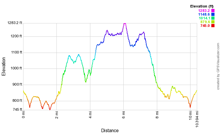
Note: The track above and the profile below do not include the side trips to the old quarry, Big Leatherwood Falls, or Lathan-Edmonds Cemetery. This is because I skipped these side trips on this hike, having seen the sights on a previous hike. However, the side trips are still included in the report below.
Details
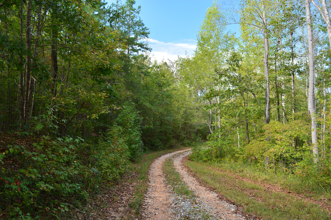
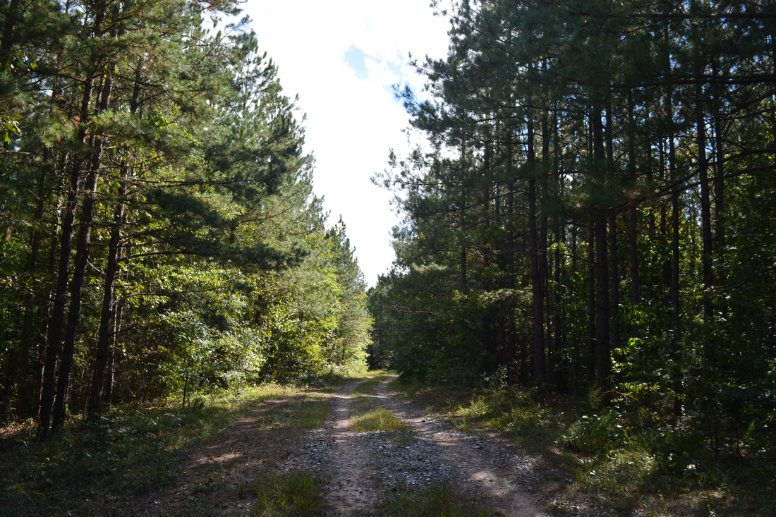
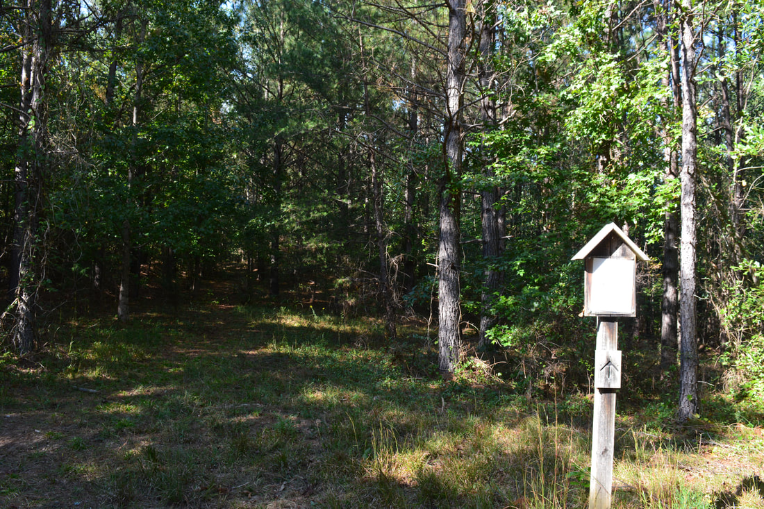
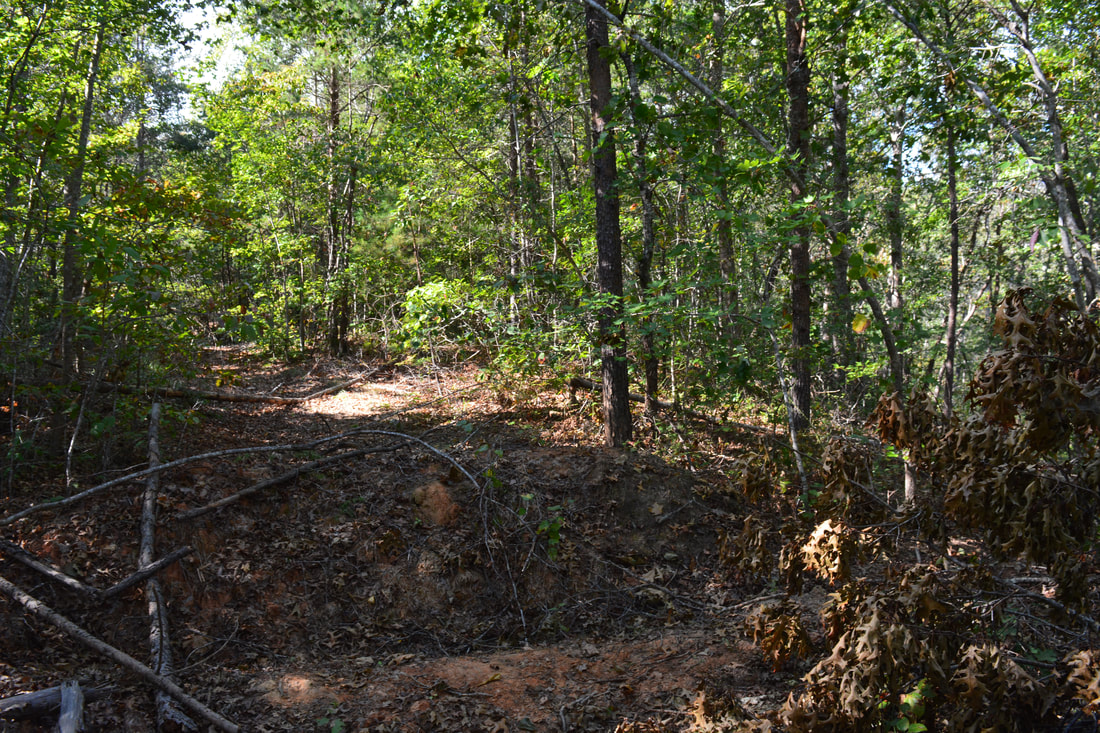
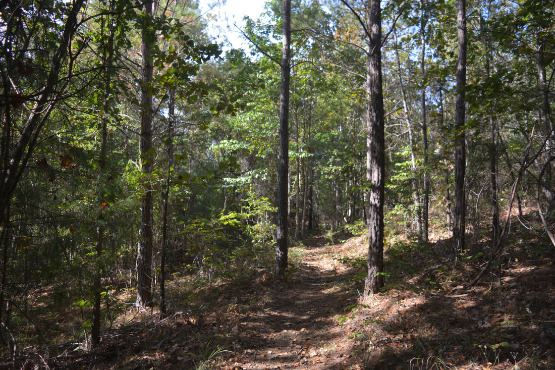
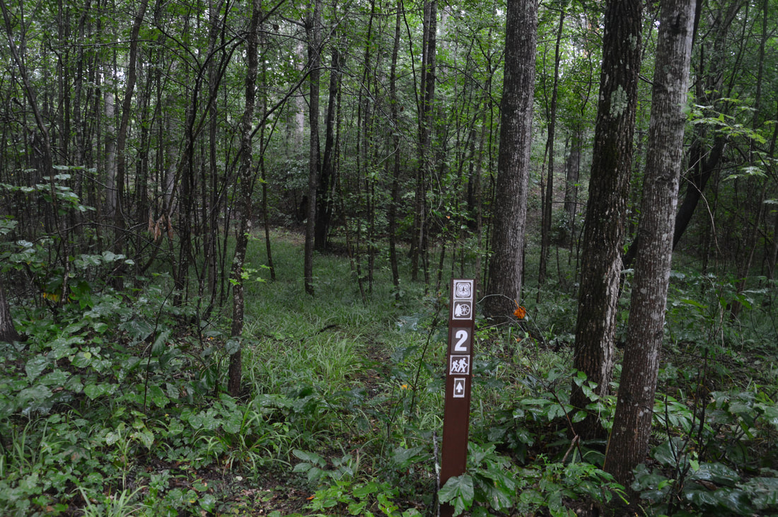
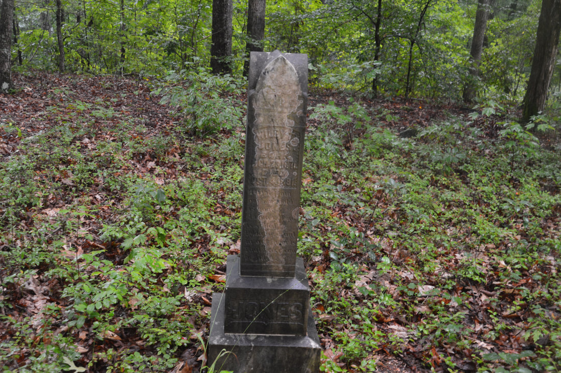
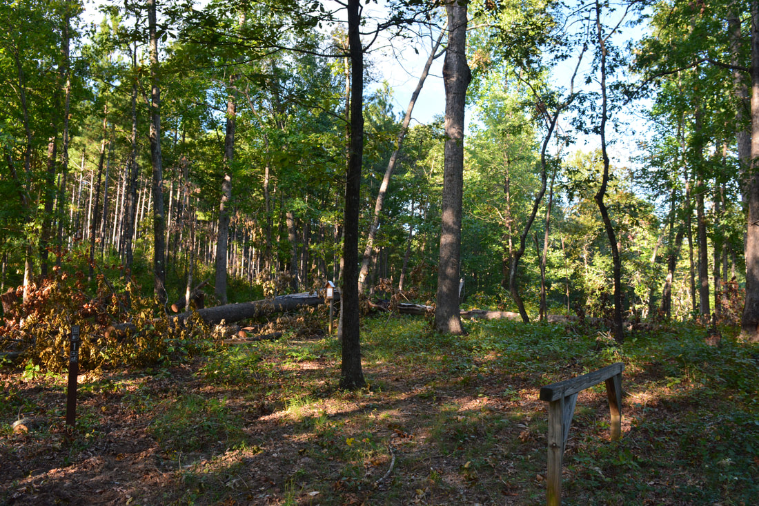
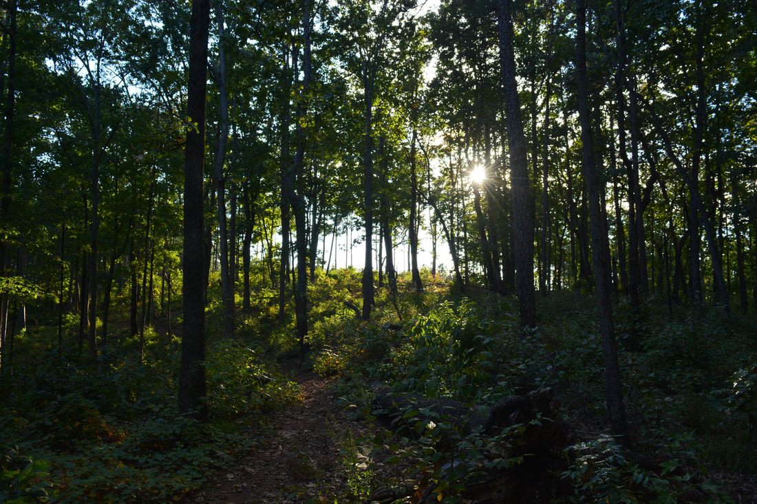
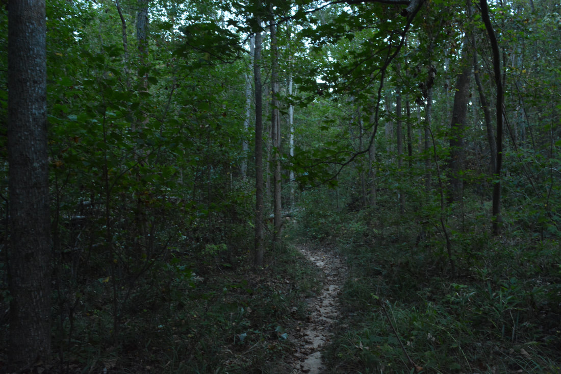
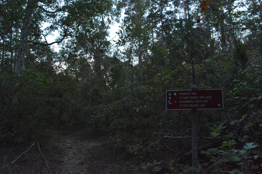
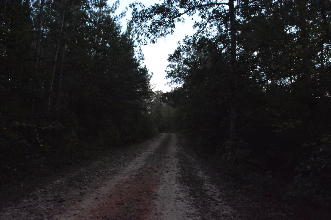
When I first hiked the Frady Branch Trails, I had failed to find a poorly-marked reroute for the Leatherwood Creek Trail and thus was forced to cut my hike short. The goal of this follow-up hike was to find the reroute and hike the full perimeter loop of the Frady Branch Trail System. The hike begins on the access trail along gated FS 389, which is open to vehicles only during hunting season (not a good time of year to hike in Wildlife Management Areas). The access trail provides a connection to the main loops from Highway 184. After a gradual downhill start, the trail crosses culverted Mill Creek at 0.4 miles. A slow uphill along the graveled road will bring you to a junction at 0.8 miles with the Leatherwood Creek Trail, which heads straight and left. This is where the loop begins, as you turn left onto the Leatherwood Creek Trail. The trail proceeds to follow a graveled side road (FS 389A). After a short down and up, the trail reaches a signed junction with the side trail to Farabrew Cemetery at 1.3 miles (designated as Historic Site #6 on the map). Turn right onto the narrow side trail and follow it for a tenth of a mile along a low ridge to the Farabrew Cemetery at 1.4 miles. Farabrew Cemetery, the first of two historic cemeteries along the hike, is named after Alias Farabrew, whose grave was the only one with an inscribing when the cemetery was documented. Farabrew's grave stands apart from the many others in the cemetery, as it has a large rectangular stone over it. It appears that some other graves have been identified since then.
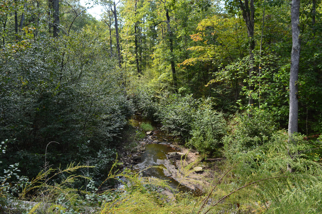
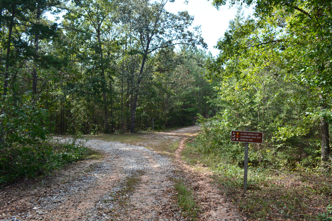
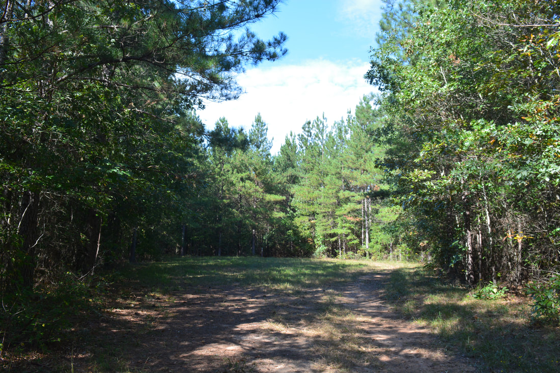
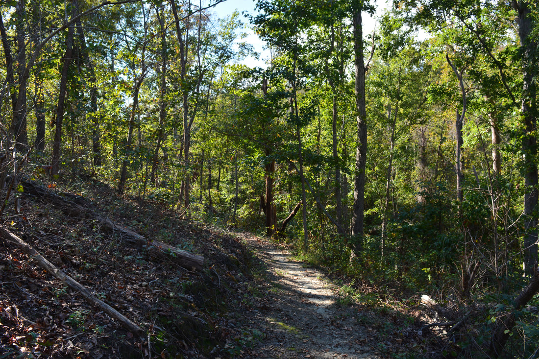
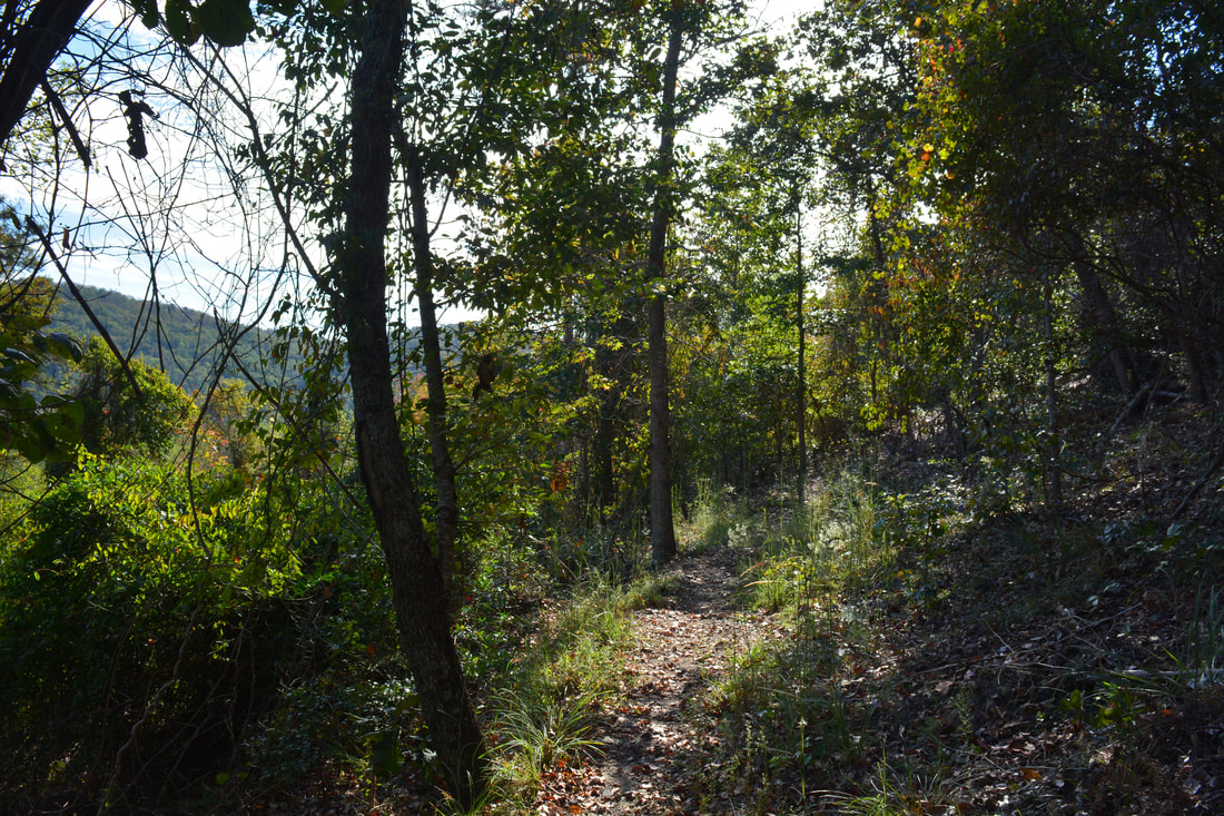
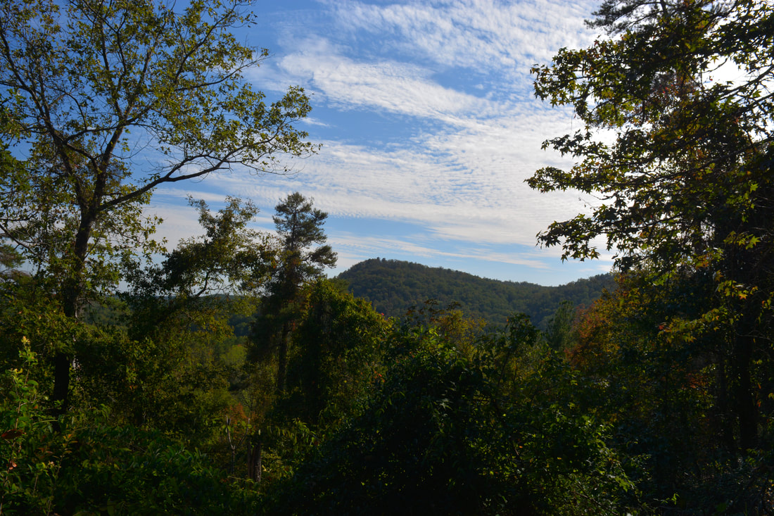
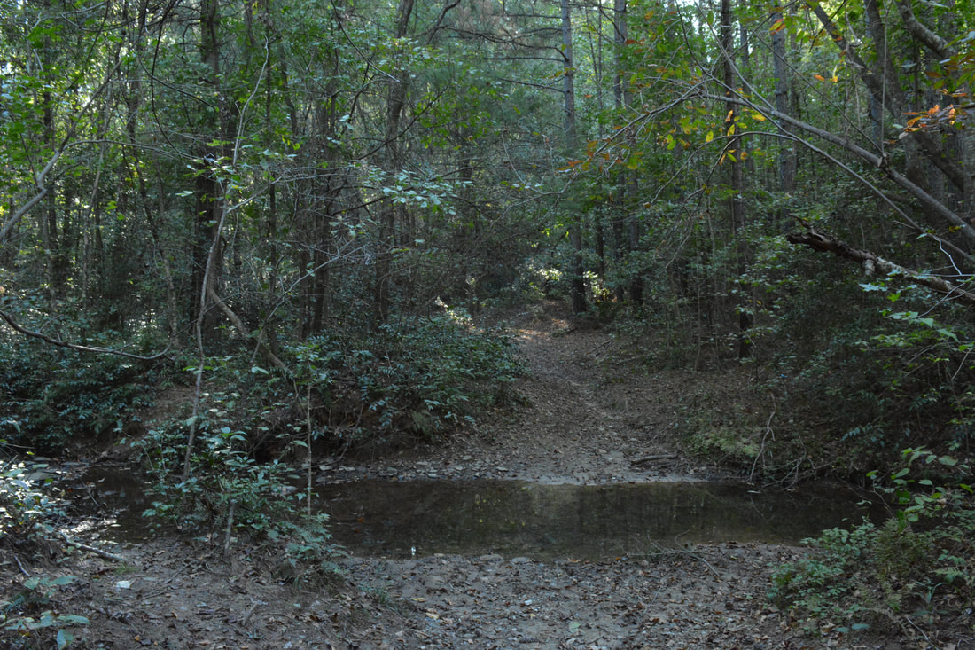
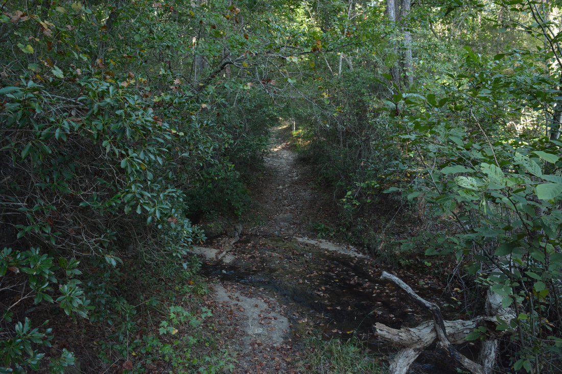
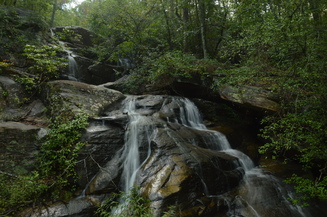
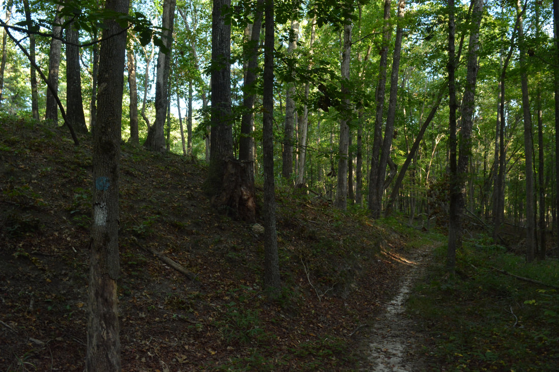
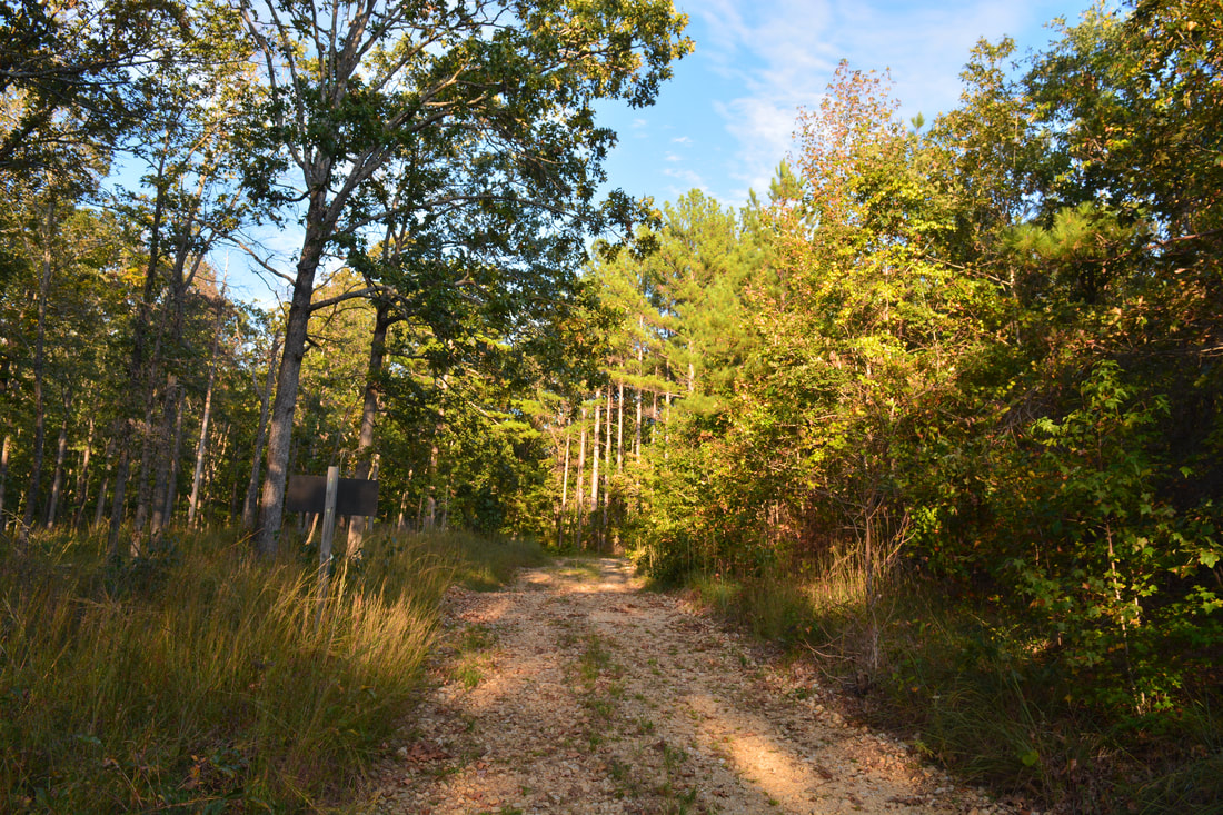
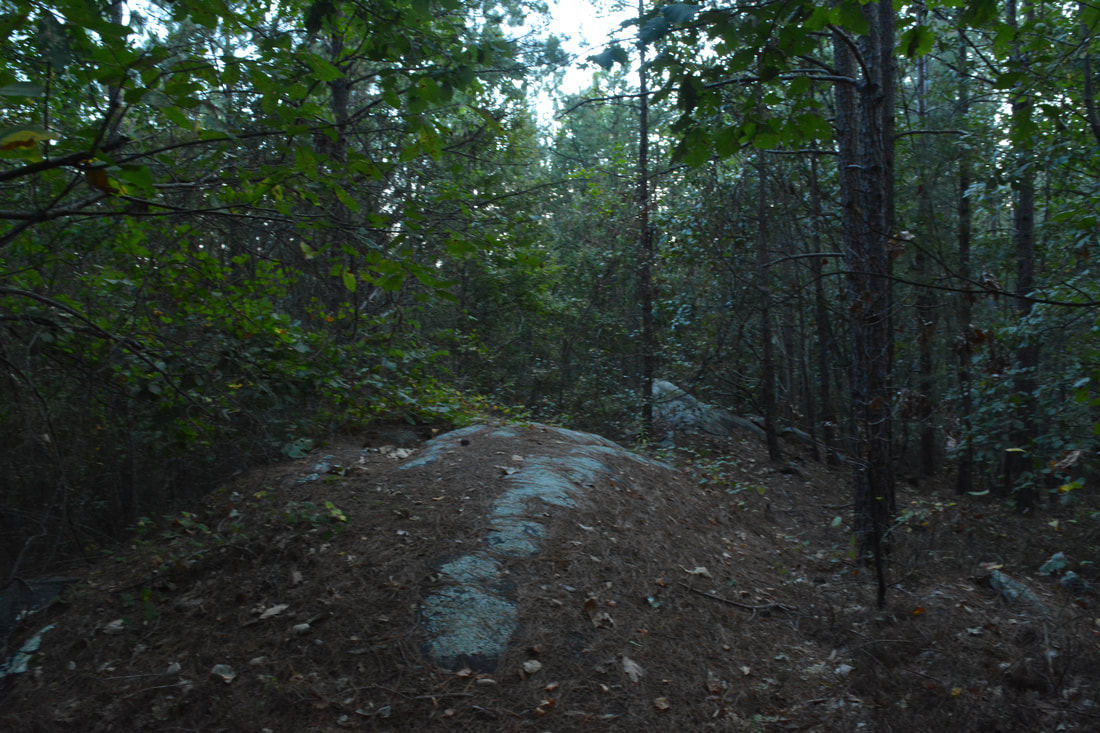
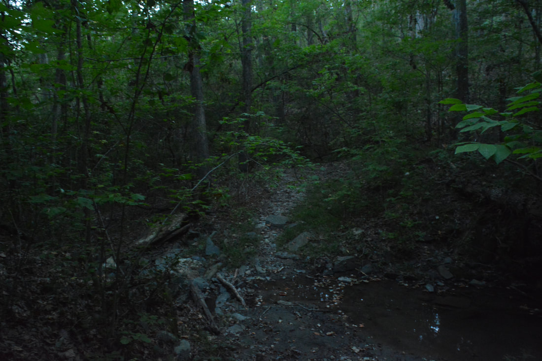
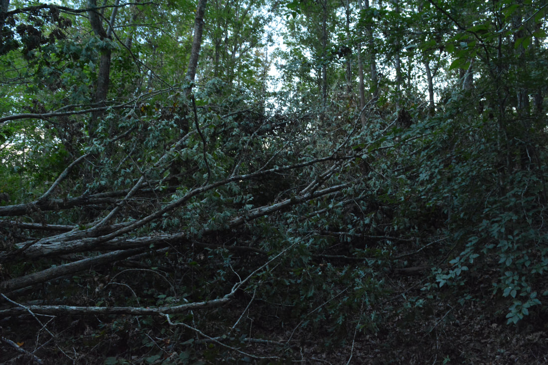
Return to the Leatherwood Creek Trail and continue following it along FS 389A, coming to the end of the forest road at a wildlife clearing at 1.8 miles. A sign directs the much narrower trail as it begins a slow ascent. At 2.05 miles, an obscure sign marks the beginning of the Leatherwood Creek Trail re-routed. The old trail, which continues straight, was closed and blocked off due to severe erosion as well as a missing bridge at Leatherwood Creek. The new trail meanwhile bears right, although a blowdown made the turn less noticeable at the time of my hike. The rerouted trail does not come close to Leatherwood Creek, but it is still a very nice trail segment with even some views. The trail makes a few switchbacks as it ascends out of the valley. Along the way there are some openings in the trees with good year-round views to the southeast, particularly between 2.4 and 2.5 miles. The sharp peak that stands out to the southwest is Farmer Mountain. The trail circles around the top of the hill at 2.8 miles and undulates for a while before coming out onto a forest road - the end of gated Pear Orchard Road - at 3.3 miles. Bear right onto the forest road and reach a signed junction with the Pear Orchard Trail at 3.35 miles. To hike the Perimeter Loop, turn left onto the Pear Orchard Trail, which quickly turns single-track and descends moderately into the Big Leatherwood Creek valley. A crossing of Big Leatherwood Creek is at 3.75 miles. This could be a shallow wade if the water is up. A few feet past the crossing, there is a split. The forest road that continues straight used to be the route of the Leatherwood Creek Trail as the sign indicates, but the trail was rerouted via the route you just hiked. Unfortunately, the sign does not reflect the change and can make things utterly confusing. Instead, the trail along the forest road ahead now serves as a connector trail to Forest Road 87C, where there is an alternative trailhead north of Farmer Mountain. For this hike, you must turn right to stay on the Pear Orchard Trail. The Pear Orchard Trail briefly leaves the creek, crosses a low ridge, and then arrives at Historic Site #5 on the left at 4.05 miles: the Joanna Gibson Housesite. Joanna Gibson was accidentally shot at her house here in 1917 on Christmas Day. The site is a very small grassy clearing that is getting overgrown, but it is a pretty spot above a series of flat rock slabs along the creek. To the right, a sign discusses Mary Steele Falls. Mary Steele Falls is more of a long sliding cascade than a true waterfall, but especially when there is enough water, it is a pretty spot thanks to the open rock slabs surrounding it. The trail crosses the west branch of Big Leatherwood Creek above the falls and then reaches the signed side trail to Historic Site #4 on the left. It leads to old sites of a moonshine still and a quarry. The side trail begins with its own crossing of the west branch of Big Leatherwood Creek, which can normally be rock hopped at this point. The trail then reaches a tree with two wooden arrows, one pointing left and one pointing straight, at 4.1 miles. The ring of rocks to the left is all that remains of the moonshine still. The path to the quarry continues straight but becomes a lot fainter, at one point bypassing a group of blowdowns. At 4.2 miles, the path ended in a grassy flat at the creek. There are some small excavations on this side of the creek here, and you can see the main part of the old quarry on the other side. It was getting late and it looked like crossing the creek would be tricky, so I didn't explore the site fully. 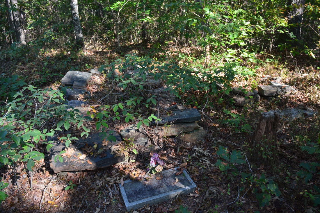
Farabrew Cemetery is one of two historic cemeteries along the Frady Branch Perimeter Loop.
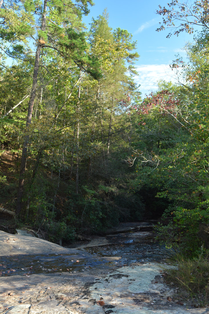
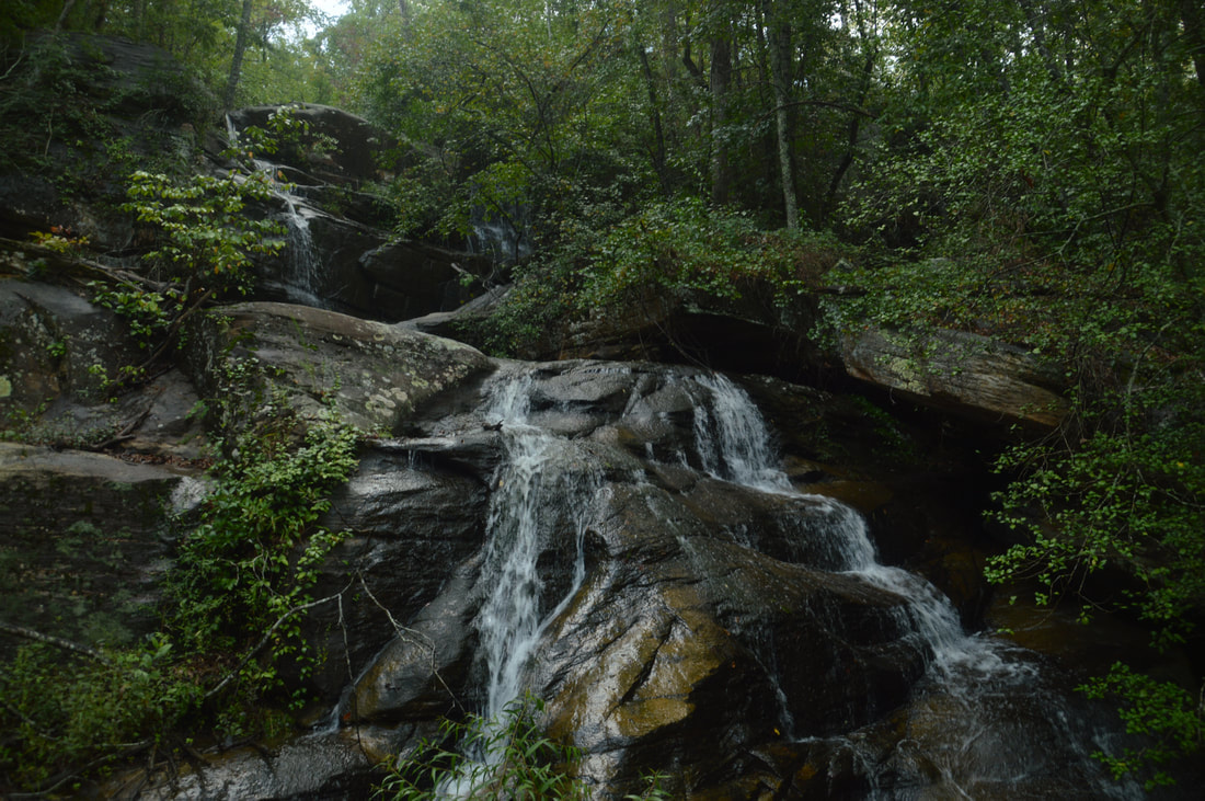
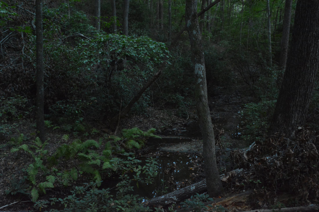
Return to the trail. Past Historic Site #4, the Pear Orchard Trail makes a moderate ascent up the ridge separating the west and east branches of Leatherwood Creek. At 4.55 miles, the trail enters a small clearing in a shallow gap in the ridge, curving left. At this point, a faint path continues straight or bears slightly right and serves as the access point to Big Leatherwood Falls. The path is only a little better than nothing, as it follows what looks like an overgrown old logging road with several blowdowns. The path also follows the slope on the south side of the ridge. Assuming you take the side path to the falls, you will see in about 400 feet a small grassy clearing with miniature rock outcrops down to the right. You may be able to hear what sounds like a small cascade - that's actually Big Leatherwood Falls far below! It is best to leave the path and turn right here, hiking off-trail down toward the creek. Note that if you follow the path to a point where you can see the creek well, you have gone too far and you would have to follow the creek downstream to the falls (taking care to swing around the dangerous cliffs at the top of the falls and avoiding the precipice). Regardless, you should reach the creek at a point about 200 feet below Big Leatherwood Falls. To reach the falls, it is best to cross the creek because the other side is a lot flatter. You may get your feet wet if the water is up. Once on the other side, pick your way through the open woods upstream, reaching the base of Big Leatherwood Falls at 4.75 miles.
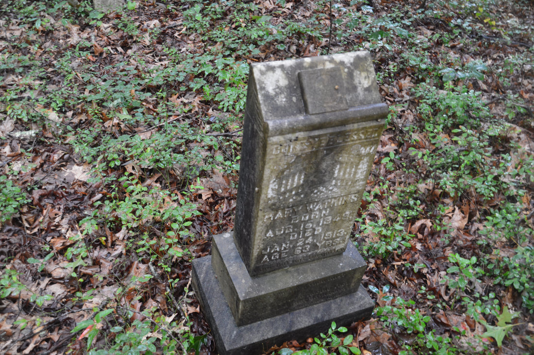
This waterfall is located on the east branch of Big Leatherwood Creek. The falls did not have any name that I knew of prior to my discovery of it, and I could not find any documentation of it, so I decided to christen it Big Leatherwood Falls, since it's in the headwaters area of Big Leatherwood Creek. It is incredible that this beautiful waterfall is so close to an official trail and yet is so little-known. There were very few signs of foot traffic around the falls. Big Leatherwood Falls consists of three tiers. The upper tier is a double cascade and free-fall down a 30-foot vertical ledge. The middle tier is the most photogenic part of the waterfall, where the water slides 15 feet in many trickles down a colorful rock slab. The lower tier is the smallest, but it is interesting. The flow once again splits - to the left, there is a small stairstep cascade about five feet high, while to the right, the water actually flows through a tiny boulder cave and drops into a shallow channel. Big Leatherwood Falls is tucked back into a small grotto with many huge boulders that shape a gorgeous setting. A serious drawback of Big Leatherwood Falls is that it is in a very small watershed, so in dry periods, the falls will probably not be worth it. With less water, the split channels of flow at the uppermost tier of the falls will be thin. I'm not entirely sure what the regular water level is here, because on this hike, I skipped the side trip to the falls due to low water levels, and on my previous trip, I got to the falls only about an hour after two consecutive heavy thunderstorms hit the area (but actually, I doubt that the bulk of the rainwater had made it to the falls yet). It is safe to say though that the flow at Big Leatherwood Falls will normally be highest in winter and spring. Return to the main trail at 4.95 miles and continue following the narrow footpath along the ridge. A short side trail on the left at 5.35 miles leads to the John Lathan Sr. Housesite. The Lathan family once lived at this site, which is now even more overgrown than the previous site. There is some interesting historic information about this site on the sign at it. In 0.1 mile, at 5.45 miles, the Pear Orchard Trail crosses a jeep mound and reaches a gated forest road where there is a junction with the Lathan Cemetery Trail, which heads straight and right. Even though the Pear Orchard Trail turns right, you must stay straight on the Lathan Cemetery Trail in order to hike the perimeter loop and see all of the historic sites. The Lathan Cemetery Trail starts out by following the gated forest road, which may also be open during hunting season. At 5.5 miles, a signed side trail to Lathan-Edmonds Cemetery - Historic Site #2 - begins on the right by following another forest road. Turn onto the broad forest road and follow it for about 250 feet. At another sign, turn right onto a faint path that leads to the cemetery. The path soon crosses diagonally a woods road, ascends a small hill, and ends at the cemetery at 5.6 miles. This historic cemetery has approximately 45 graves, but only 4 of them have inscriptions. 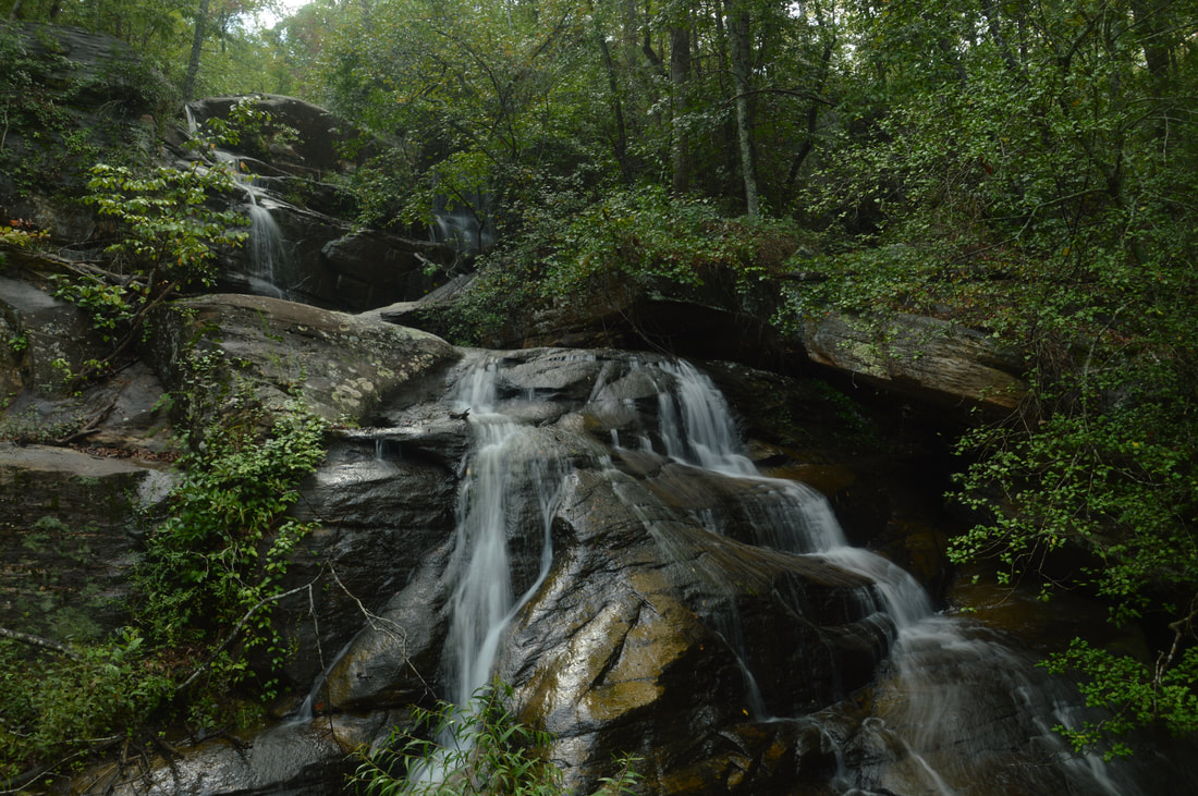
This picture shows the upper 2/3 of 50-foot Big Leatherwood Falls, a triple-tier waterfall located in a small grotto with huge boulders that help to shape a scenic setting.
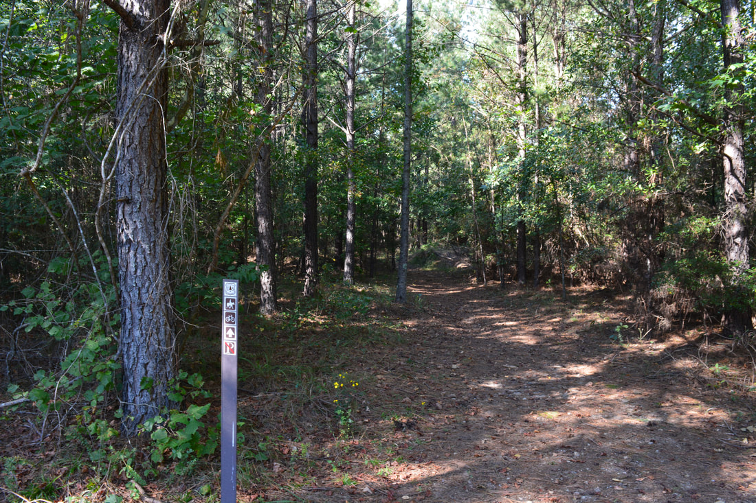
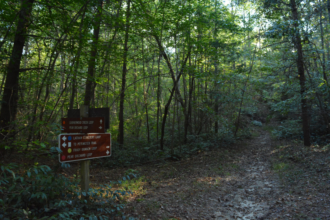
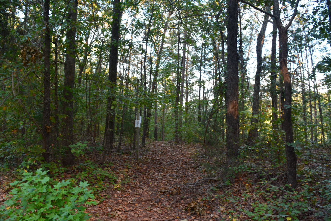
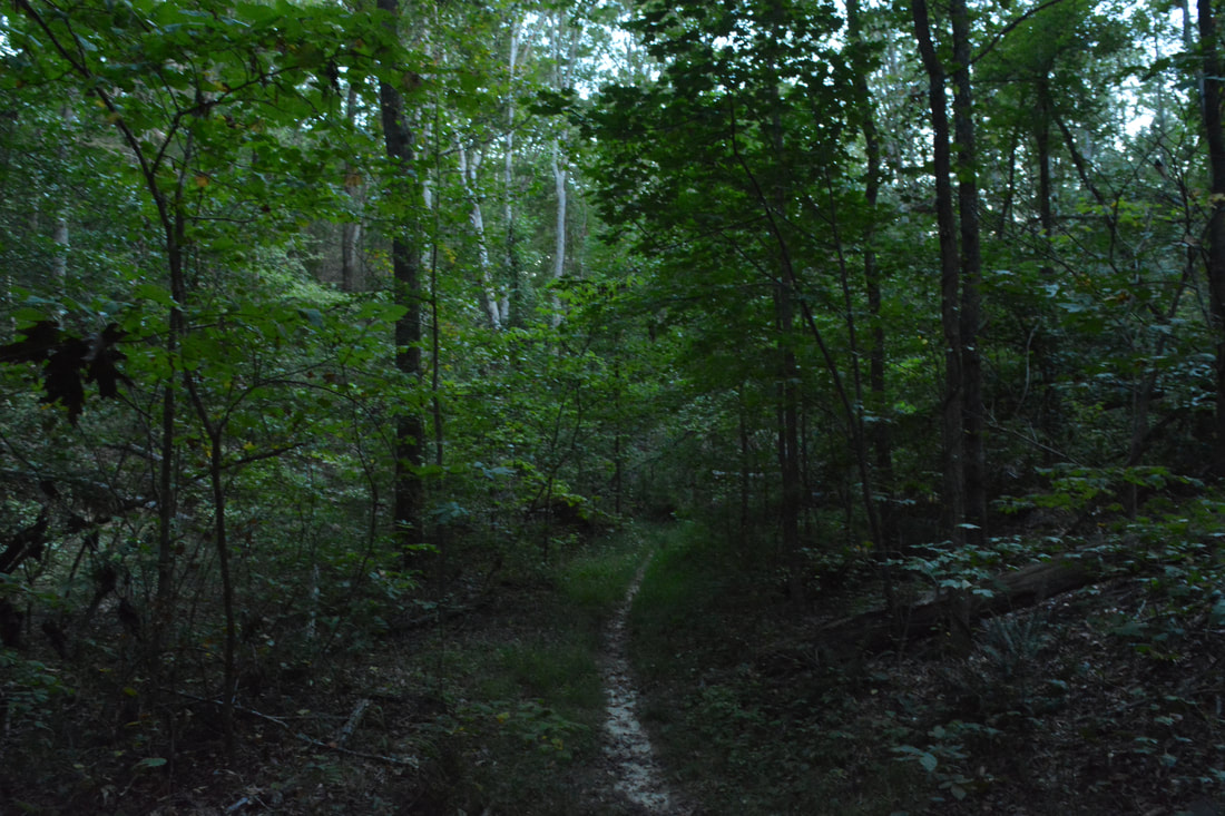
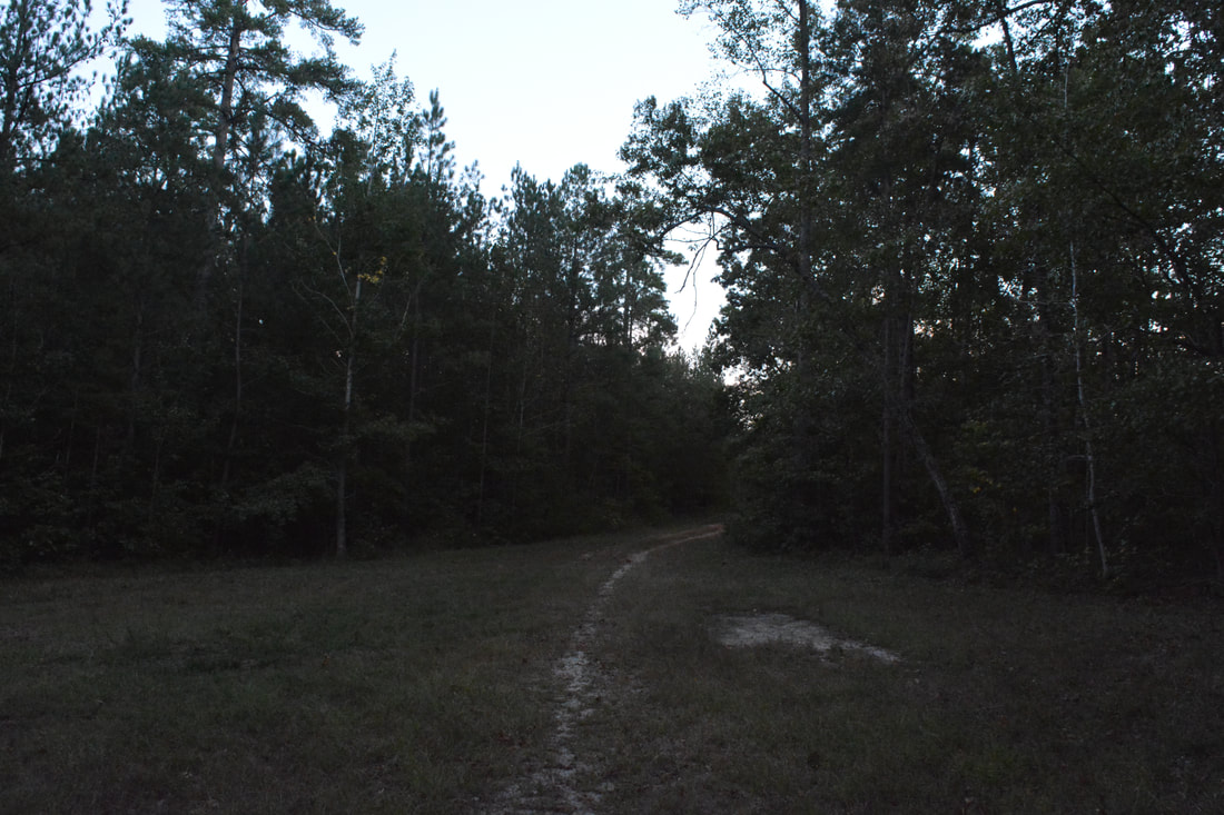
Return to the Lathan Cemetery Trail and continue following it along the undulating forest road. At 6.05 miles, the William Marion Edmonds Housesite (Historic Site #1) is on the right. The Civil War Veteran Marion Edmonds lived at this site. The housesite is just an overgrown clearing now, but there are a few small piles of stones on the ground left from the house's chimney. After checking out the housesite, continue on the forest road northward. At 6.6 miles, about 300 feet before the forest road reaches Currahee Mountain Road, the Lathan Cemetery Trail makes a marked right turn onto a single-track path. Continue following the Lathan Cemetery Trail as it makes an easy ascent to the top of a low ridge, where the highest point on the hike is reached at 6.95 miles. This part of the trail is quite pleasant as it undulates through open sunny woods. At 7.35 miles, the trail crosses a small stream (one of the headwater streams of Big Leatherwood Creek). At 7.7 miles, the Lathan Cemetery Trail meets Pear Orchard Road where there is a junction with Frady Branch Trail. To continue hiking the perimeter loop, make a sharp left turn onto the dirt Pear Orchard Road which the Frady Branch Trail follows for the next 0.4 miles. The road initially rises along the ridge and then levels out before coming to a point at 8.1 miles where the Frady Branch Trail bears right on a broad footpath off the road. At the time of my hike, the main sign for this turn was missing, but just past the split, a sign for the Frady Branch Trailhead was attached to a tree on the trail. Stay right on the trail, because Pear Orchard Road leads to a completely different area (Currahee Mountain).
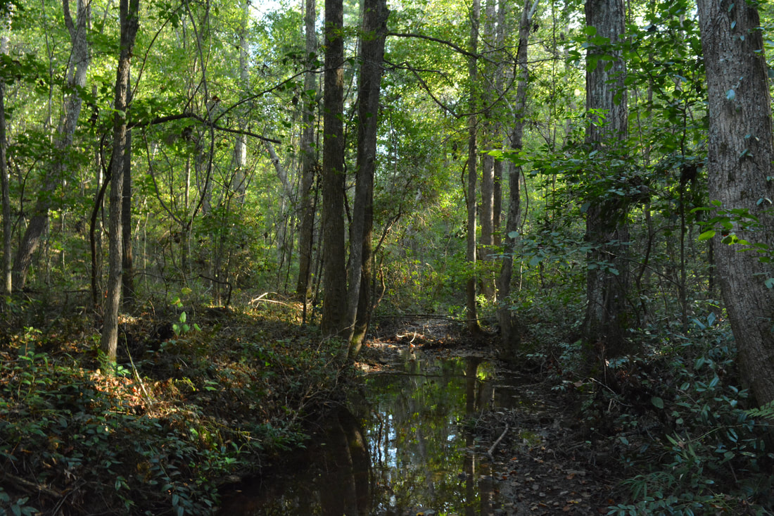
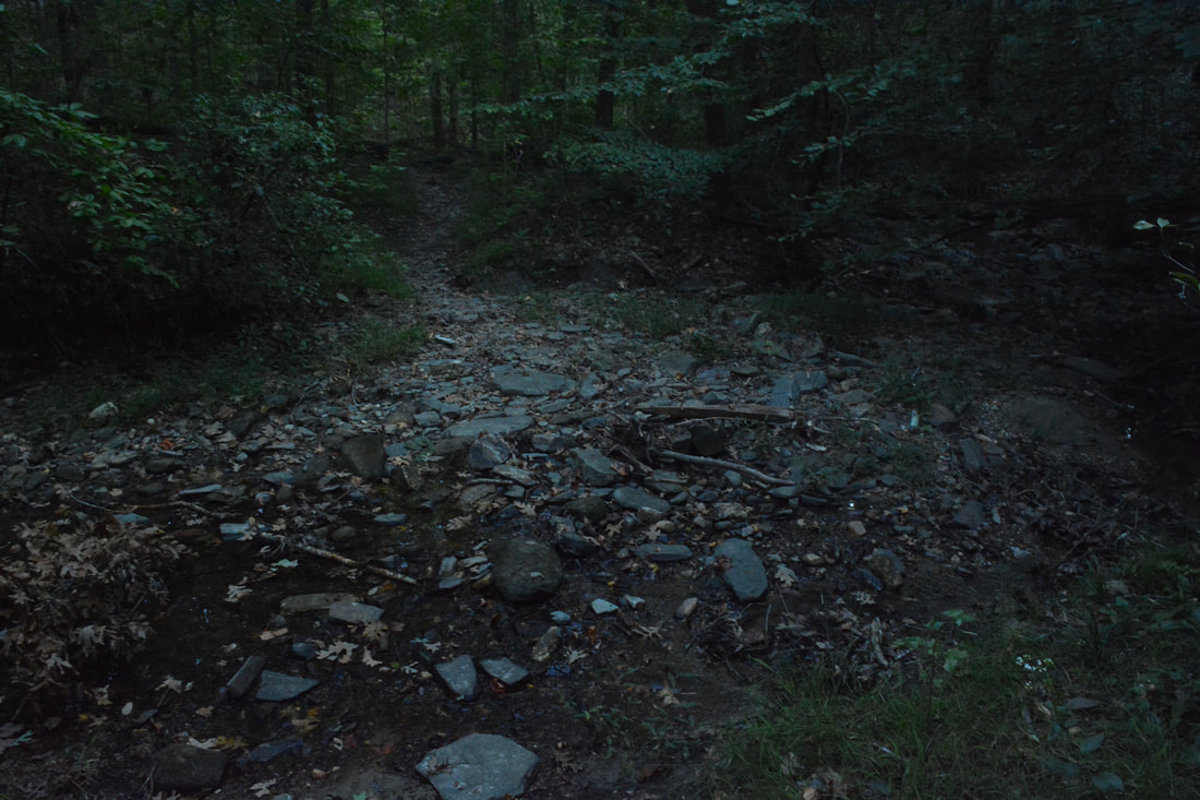
The Frady Branch Trail begins a moderate descent into the Frady Branch Valley, initially with great winter views of Currahee Mountain. The trail makes an abrupt right turn at 8.3 miles and passes some large rocks at 8.4 miles. At 8.65 miles, the trail reaches Frady Branch. There is a footbridge across the creek, but at the time of my hike, it was heavily damaged by blowdowns following Hurricane Irma. Just past the bridge, a path comes in from the left; stay right on the main trail, which crosses Frady Branch three times without bridges. These crossings should be rock hops are under most conditions. Frady Branch flows through a remote valley but the stream itself is lackluster with only a few small cascades. Eventually, the trail curves out of the valley and crosses a large tributary at 9.65 miles. If the water is up, this may be a wade. After a short ascent, the Frady Branch Trail reaches a junction with the Leatherwood Creek Trail at 10.0 miles. While the Frady Branch Trail turns sharply right and ascends back to Pear Orchard Road, you must turn left onto the Leatherwood Creek Trail to begin the final leg of the hike. At 10.15 miles, the trail enters a wildlife clearing and then joins FS 389. The rest of the hike is along FS 389. You will reach the end of the loop at 10.5 miles, where the Leatherwood Creek Trail turns right onto FS 389A toward Farabrew Cemetery. Continue straight on the access trail, retracing your steps from earlier in the day along FS 389. You will return to the Frady Branch Trailhead at 11.3 miles, concluding the hike. Mileage
0.0 - Frady Branch Trailhead
0.8 - Leatherwood Creek Trail Junction (Begin Loop) 1.4 - Farabrew Cemetery 3.35 - Pear Orchard Trail Junction 4.05 - Joanna Gibson Housesite and Mary Steele Falls 4.75 - Big Leatherwood Falls 5.35 - John Lathan Sr Housesite 5.45 - Lathan Cemetery Trail Junction 5.6 - Lathan-Edmonds Cemetery 6.05 - William Marion Edmonds Housesite 7.7 - Frady Branch Trail Junction 8.65 - Frady Branch 10.0 - Leatherwood Creek Trail Junction 10.5 - End Loop 11.3 - Frady Branch Trailhead Variations
Many different hiking variations are possible thanks to the four-loop structure of the Frady Branch Trail System. See the trail map for possible variations.
Bonus Stops
A good near hike is the trail to the summit of Currahee Mountain, where there are spectacular views. This trail is also accessed from Highway 184.
Pictures
4 Comments
Daniel
11/5/2018 07:45:09 pm
Hiked some of that trail today. Didn't know there were as many waterfalls in Stephens county till you got your site up.
Christy
3/18/2022 10:06:25 am
I have been looking for Romans Den for years and have not found it yet
Daniel
10/7/2022 01:19:44 pm
I would be glad to show you. Never got a notification of a reply. But I should now if you want to go. Leave a Reply. |
About MeMark Oleg Ozboyd Dear readers: I have invested a tremendous amount of time and effort in this website and the Georgia Waterfalls Database the past five years. All of the work that has gone in keeping these websites updated with my latest trip reports has almost been like a full-time job. This has not allowed me to pick up a paid job to save up money for college, and therefore, I I've had to take out loans. If you find the information on this website interesting, helpful, or time-saving, you can say "thanks" and help me out by clicking the button above and making a contribution. I will be very grateful for any amount of support you give, as all of it will apply toward my college tuition. Thank you!

Coming in 2022-2023?
Other Hiking WebsitesMiles HikedYear 1: 540.0 Miles
Year 2: 552.3 Miles Year 3: 518.4 Miles Year 4: 482.4 Miles Year 5: 259.9 Miles Archives
March 2021
Categories
All
|


 RSS Feed