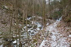
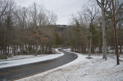
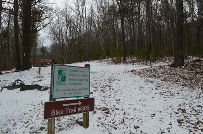
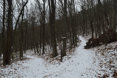
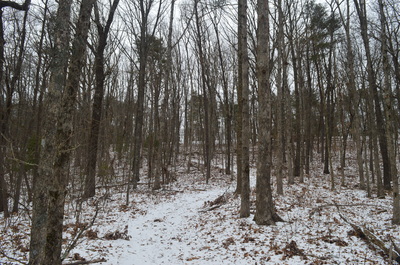
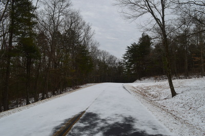
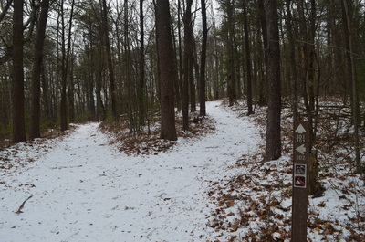
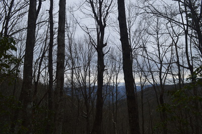
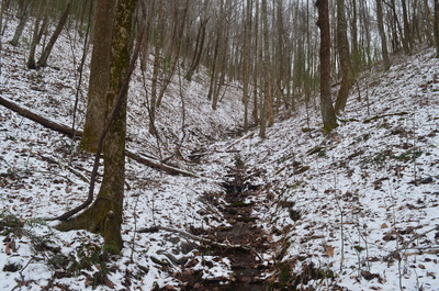
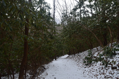
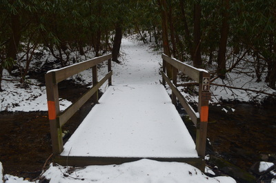
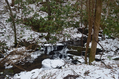
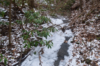
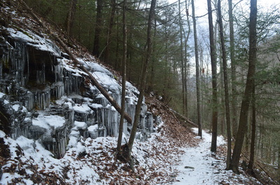
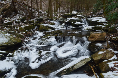
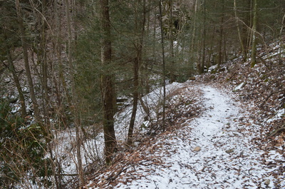
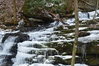
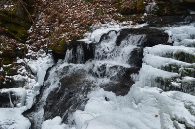
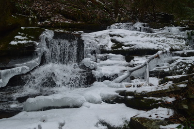
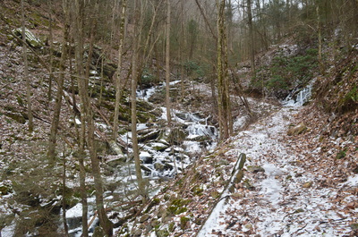
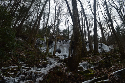
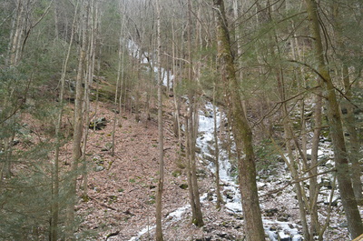
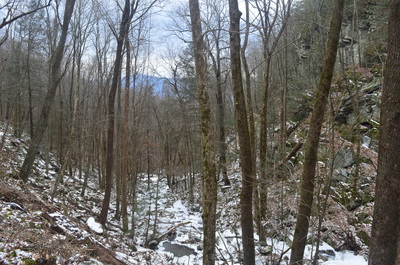
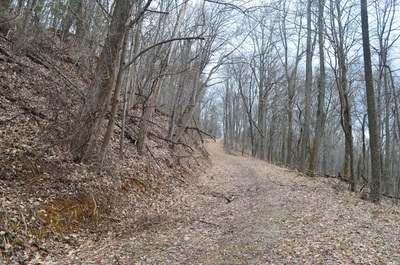
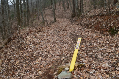
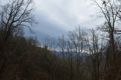
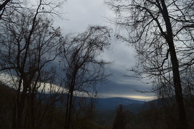
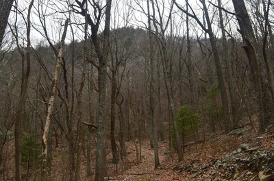
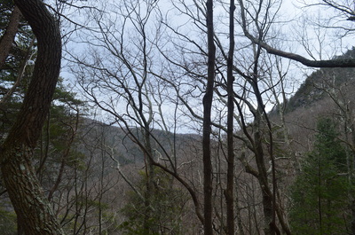
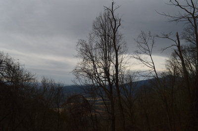
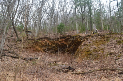
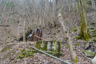
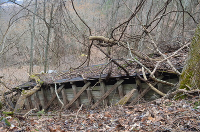
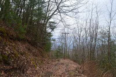
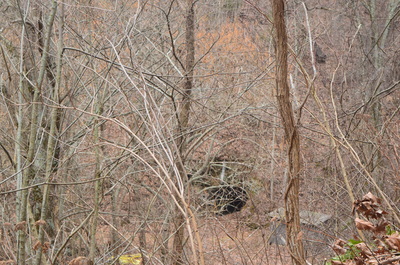
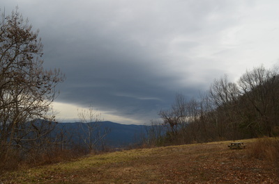
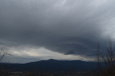
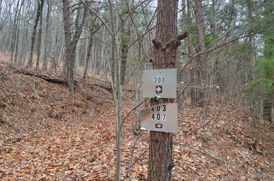
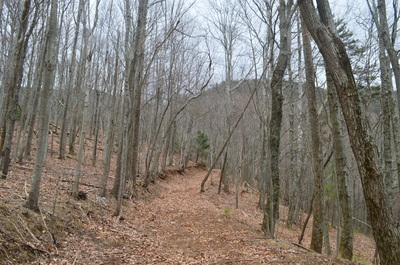
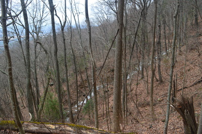
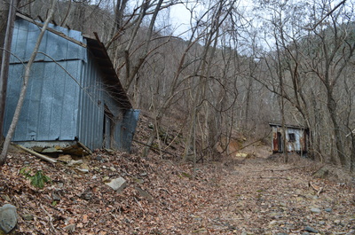
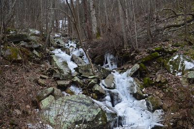
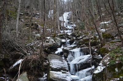
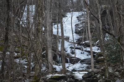
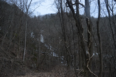
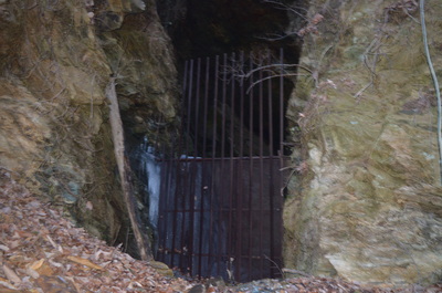
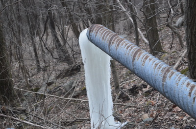
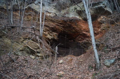
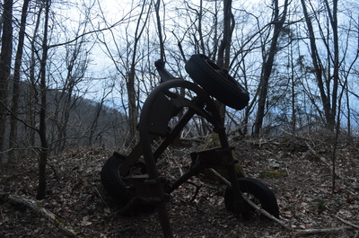
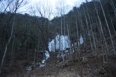
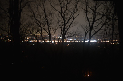
 Fort Mountain State Park has one of the most impressive trail systems in Georgia's state parks. The western section of the park has over a dozen talc mines. While these mines are closed to the public, they can be viewed from the extensive trail system in that area. In addition, the park's two main streams, Mill Creek and Goldmine Creek, both have sets of picturesque cascades and waterfalls. The light snow cover along with ice from the preceding week's cold blast made this hike an excellent one. This hike occurred on February 21st, 2015. My plan was to hike Bike/Hike Trail #301 counter-clockwise. Old Fort Road, the road leading to the trailhead, was closed due to ice and snow, so I ended up also hiking Bike/Hike Trail #303 from Fort Mountain Lake Trailhead. R/T Length of Trail: 18.2 Miles Duration of Hike: 9:15 Type of Hike: Lollipop Difficulty Rating: 8 out of 10 Pros: Much of hike is easy walking along old roads; plenty of historical mining features; many cascades and waterfalls Cons: Grueling 2 mile long ascent of nearly 1000 feet per mile in the second half of the hike Scenic Views: Helipad view of Cohutta Mountains - 5 stars; Powerline cut view of Chatsworth - 3 stars Water Features: Main Falls on Mill Creek - 8 stars; Lower Goldmine Creek Falls - 6 stars (might be be better than I think, but because of the ice it was hard to tell how good the waterfall actually is) Trail Blaze Color(s): None that I noticed on all bike and horse trails Best Season(s) to Hike: Year-round Beginning Point: Fort Mountain Lake Trailhead in Fort Mountain State Park Directions: From Chatsworth, GA: From Chatsworth, GA: Follow GA State Route 52 East for 7.2 miles, until you see the Fort Mountain State Park entrance on the left. Turn left onto Fort Mountain Park Road. Drive 0.6 miles, then keep left to continue to Fort Mountain Lake. and drive 0.7 miles to the start of Bike Trail #303 on the right and a large parking area on the left. When I did the Gahuti Trail in Fort Mountain State Park in the autumn of last year, I mentioned that I will do Bike Trail soon. This was a good day to do it, following a light snowfall the same morning and an arctic blast, causing many iced up streams, cascades, and waterfalls. Old Fort Road, the road leading to most of the park's trailhead, was closed due to the snow, so I had to lengthen my hike by a few miles by hiking Bike Trail #303 as well, but it was a pleasant extension. This extension also ended up with me hiking my longest hike to date, without counting the unplanned 26-miler at Whiggs Meadow. The weather on my hike was quite dramatic! Overnight the night before, a major winter storm brought up to a foot of snow across some of North Carolina's mountains, and a sleet/ice/snow mix to most of northwest Georgia. There were several major accidents on I-75 and I-24 near Chattanooga due to the ice, so I gave a second thought to doing my planned hike, but by the time I got there, HWY 52 was cleared and salted. While accumulations from this storm were meager (a dusting to a half-inch of snow mainly above 1800 feet), it still created a nice winter setting across the first part of the hike. In addition, there was a severe cold blast earlier in the week with subzero temperatures as far south as North Georgia's mountains, causing amazing ice formations all over across the Southeast. Many streams and waterfalls were frozen up, including some on this hike. During the hike itself, there was no precipitation at first, but extremely strong winds the entire time - sometimes reaching 60 MPH gusts I'm pretty sure. And the last 3 hours of my hike were a soaking, cold, windswept rain with snow still on the ground. I don't think I have ever experienced such a variety of different weather conditions in one day or on one hike. Now to the description... Bike Trail #303 actually follows the road near Fort Mountain Lake, but then at the parking area I chose, leaves the road at a large sign. It first parallels the road, and there are white blazes, but these blazes are not associated with the bike trail - they are associated with the small Campground Loop that the bike trail follows at first. At 0.2 miles, the Campgound Loop keeps left while Bike Trail #303 keeps right. Keep right. The ascent here is not steep, but it is an ascent. A couple small seeps are crossed on the way up. The trail reaches the top at 0.9 miles. This is where the Bike Trailhead is located, and this is where I originally planned to start my hike. Old Fort Road *was* covered in snow, but in my opinion, it's not worth closing the road just because of a light snow cover. In any case, it was not my decision. Bike Trail #303 ends (or starts) at this trailhead. Across the road is the start of Bike Trail #301. While that trail is a loop, the first 0.6 miles are out and back. As soon as you cross the road, there are several signs that this trail will encounter a "DNR Special Permit Use Area". Actually, this area starts farther into the hike (I'll mention where later below), but what does it even mean? You have to get some sort of permit from the park office? I didn't get any, but maybe it's really important to get one. I'll leave it to you to find out. After this sign, the trail travels along the flat mountaintop near the road, and then, reaches a junction with Bike Trail #302 at 1 mile. This is a several mile-long trail that goes to Cool Springs Overlook Trailhead and then steeply drops off the mountain to its end, which is on Bike Trail #301 as well. This trail does cut out both some distance and some unnecessary climbing, but one of the main attractions of the hike - Mill Creek Falls - will be missed out, if you take this connector, so I strongly do not recommend it. Bike Trail #301 bears right at the intersection. After the junction, the trail follows the small mountain top to its end, and then makes a gradual 180-degree turn and starts descending. This climbing on the way back is a little annoying after such a long hike, so that's why I chose to return by the road in the end instead of the trail. This gradual descent affords good winter views eastward and northeastward toward the Cohutta Mountains. At 2 miles, the loop section of Bike Trail #301 starts, although the sign DOES NOT say that the loop section starts here. The sign only points the Bike Trail #301 to the right, while a very clear, but unmarked old roadbed continues forward. I knew from maps that this is the trail, and that you would return from the right. The only reason I can think off that there is no sign here is the special permit stuff, and it is very deceiving. In other words, at the sign, keep forward onto the unsigned roadbed. The descent gradually becomes steeper from here. At 2.3 miles, cross a small stream, which is a tributary of Mill Creek. The trail descends along it through tunnels of rhododendron. The coating of white snow on the ground with the green rhododendrons overhead made for an interesting contrast. Then at 2.5 miles, the trail crosses the main branch of Mill Creek on a wooden footbridge and arrives at the Gahuti Trail. If you have read my trail report about the Gahuti Trail, you will know that Bike Trail #301 and Gahuti Trail overlap each other for a short time here. To keep following Bike Trail #301, turn left onto the Gahuti and follow it along Mill Creek. Then, at 2.7 miles, the Gahuti Trail bears left over another footbridge over Mill Creek, while Bike Trail #301 bears right. Another confusing spot here. There is a sign that no kind of travel, whether hike or bike, is allowed onto the path that bears right. There is also a "stop" sign to not go beyond this point. This is where the DNR Special Permit area starts. Ignore the signs - the trail does go here, and if you have a permit, I assume you can hike or bike it. The most scenic section of the hike starts right after this. The trail crosses Mill Creek on another footbridge at 2.8 miles, and begins a steady descent into the Mill Creek Gorge. The gorge is pretty impressive. A book mentions that there are two smaller waterfalls above the main falls on Mill Creek, and the first one would be somewhere after crossing Mill Creek on a footbridge. The thing is that the trail travels far away from the creek the entire time after crossing it, until the main falls. Unless it is meant to do some crazy scramble down into the gorge, I didn't see any waterfalls before the main one. At 3.2 miles, the trail temporarily leaves the creek completely and crosses a small feeder stream, which was fully iced up on this day with massive icicles all around. At 3.5 miles, the trail returns back closer to the creek, and here, according to the book, is where the first falls is supposed to be. The book also notes that the best view is from the trail, although I didn't see any. If you find the waterfall or know how to reach it, please let me know. At 3.9 miles, the book notes another waterfall, which does look pretty on the picture. Again, I didn't see much, although I did scramble down to the stream somewhere around here and took several shots of the snowy/icy waterway. Right after this, the trail descends down a series of dramatic switchbacks to the main falls on Mill Creek, reaching it at 4 miles. While this waterfall does not have a whole lot of water, it is still pretty, with a long froth of water tumbling down through a rock jumble, as well as an upper drop that drops around a dozen feet over a small rock wall. Altogether, the falls is about 50 feet high. The snow and ice contributed considerably to the beauty rating of the falls, and several pictures I took show a beautiful winter scene here at the falls. It will probably not look as good in summer, but it's still a nice waterfall. Right after the falls, I crossed another small feeder stream, and there was a HUGE wall of icicles right above. Just below this small stream, I saw a completely iced-up stream tumbling down the other side of the gorge. I don't know if it's worth the bushwhack, but it might be another waterfall, although it definitely would need a lot of water for it to exist. And then, I left the snow line, and suddenly the winter settings were gone (besides still ice in the stream). I didn't know that I would not see any more snow the rest of the hike, since by the time I would make it back up the mountain, rain would have washed most of it away. At 4.4 miles, Bike Trail #301 reached a T-type intersection with an old road and Horse Trail #410. This was the end of the first downhill portion of the hike. Bike Trail #301 turned left to follow Horse Trail #410. There is also a checkpoint at this intersection, Checkpoint #5, with a trail map, so that you know where you're going. Right after the turn, there is a steep uphill stretch. The grade quickly moderates, but it still continues ascending. At 4.8 miles, Bike Trail #301 leaves Horse Trail #410 by turning left. However, continuing forward on Horse Trail #410 and then turning left onto Horse Trail #401 would cut out some extra mileage. I chose to follow the route of the bike trail, though, since my plan was to hike the entire length of it. This left turn does not provide a break in the climbing, although the grade is not steep. Soon the grade steepens, and there are several steep switchbacks with a massive rock face right upfront. I think on top of this rock face is Cool Springs Overlook and Cool Springs Trailhead. Speaking of Cool Springs Overlook, as Bike Trail #301 ascends, there are great winter views of the Cohutta Mountains, similar to the ones at the overlook, except from a lower elevation. At 5.4 miles, the trail reaches Checkpoint #4, and the end of any major ascents for a LONG time. At Checkpoint #4, Bike Trail #302 takes off to the left, steeply climbing up the face of Fort Mountain. This sounds familiar, right? This is the same trail that was near the Bike Trailhead - it comes out here. Again, it's a shortcut, but it cuts out the waterfalls on Mill Creek. If you want to do a shorter hike and want to just see Mill Creek, you can turn left here and loop back to the trailhead, making still for a good 8-9 mile hike. After this junction, Bike Tail #301 starts descending again. The wind was gusting like crazy, and I constantly had a feeling some tree would come crashing down, as many of them were swaying side to side. The trail, during the descent, begins to round the north side of Fort Mountain, and the winter views of the Cohutta Mountains become even better. One of my potential hike options on this day was Mount LeConte in Tennessee, but I vetoed it due to the low cloud ceiling. I could tell I did the right decision, because the clouds were skimming over the tops of the Cohuttas, which are no higher than 4100 feet, while Mount LeConte is at over 6500 feet high. At around 7 miles, the bike trail reaches Checkpoint #3. Horse Trail #401 comes in from the right here. This is where you would come out, if you had followed Horse Trail #410 earlier. Bike Trail #301 turns left and follows Horse Trail #401. The next mile is mainly flat with a couple of small descents and ascents. Soon, Georgia's Great Valley comes into view straight ahead, with the Cohutta Mountains on the right. Georgia's Great Valley is known as the land between Lookout Mountain and the Blue Ridge Mountains (Fort Mountain marks the western end of the Blue Ridge Mountains, and so do the Cohuttas). Also, the mountain rising directly to the left is the main summit of Fort Mountain, which is home to the old tower. At about 8 miles, I noticed a small house or building standing just below the trail. This would be the start of a long stretch of talc mines and mining ruins. There was one small entrance on the left, which could be a mine, but the main, big mine would be just up ahead. As I was surveying the building below (and noticed that it had only one wall), I also noticed many more ruins: a foundation of a house on the left, scattered wooden debris, a large wooden "shed" on the right. I first thought this could be something associated with the nearby horse stables, but when I saw the main mine entrance, I quickly realized this is associated with the mining that used to go on here. At first, I thought there's no way to reach the mine entrance seen to the right off the trail, besides bushwhacking. Also, an old powerline from the mine crossed the trail here. The cables were cut off. What surprised me was the Georgia Power Company label on the powerline. Did talc mining end here really not that long ago?? After the powerline, the trail descended a bit to another big junction of trails. At the junction, Horse Trail #407 turned left among lots of wooden ruins and a large blowdown. This is a slightly faster way to reach the waterfalls in the vicinity of Goldmine Creek, but once again, my plan was to follow Bike Trail #301. Just ahead, Bike Trail #301 along with Horse Trail #401 turned left. On the trail wand, there was a "helipad" sign pointing to the right. This is actually Multi-Use Trail #201, that leads to the large mine entrance. The helipad was just beyond the sign, though. I'm not sure for what this helipad was used or is being used, but my best guess is it is associated with the mining stuff. However, the helipad offered a very good, year-round view of the Cohutta Mountains. The big summit in the center is probably Grassy Mountain, that has an elevation of about 3600 feet. This unexpected view added even more into this already good hike. There is a picnic table at this view as well. The old road that continues beyond the helipad leads to the talc mine entrance, but I didn't go there. After the helipad view, Bike Trail #301 continues a gradual descent on a very good somewhat graveled road. I'm pretty sure it's that good, because of the mine. Shortly, Horse Trail #401 leaves right, while Bike Trail #301 continues forward. Both are downhill. At 9 miles, reach Checkpoint #2, another major trail junction. Horse Trail #403 leaves right, reaching the Cliff Mine Horse Stables in several miles, after connecting with Horse Trail #401. Just down the rail, Horse Trail also goes left (uphill) toward Horse Trail #407. Bike Trail #301 keeps straight, downhill. The descent is less noticeable, but it's still there, and there's still no ascents whatsoever to stop it. I noticed several more abandoned powerlines lying near the trail. After another mile of meandering amidst the lower slopes of Fort Mountain, crossing a couple small streams, and passing a couple small talc mine entrances, Horse Trail #401 crosses Bike Trail #301 from right to left at 10 miles. In order to reach the waterfalls and mines in the vicinity of Goldmine Creek, you have to turn left onto Horse Trail #401 and eventually return back to this junction. It's not NECESSARY to return back to this junction, but since I wanted to hike the entire Bike Trail #301, that's what I did. As soon as you turn left onto Horse Trail #401, a steep ascent starts, although it's only an appetizer to what is to come in several miles. At 10.1 miles, Horse Trail #408 goes left while Horse Trail #401 goes right. You will return from the left, but for now, keep right. The ascent continues at a moderate grade. As the trail ascended, I caught eye of a distant iced up waterfall, probably a mile away - I'm pretty sure that's Lower Goldmine Creek Falls that I was headed for. Soon, the trail crossed one iced up stream, and then approached a "mining community" at about 10.6 miles. There were two old wooden houses here, still standing, and I could see mining equipment inside. Right after the two houses, there was a large talc mine entrance on the left. After the mine, at 10.8 miles, the trail crossed Lower Goldmine Creek, and then there were three big... blowdowns? It looked to me like they were put there by hand, but why, since this is a trail? I later read that all horse trails are closed, because the horse stables are closed, so maybe that's the reason. Regardless, just try to find a way to get around the blowdowns, and after the third one, reach a junction with Horse Trail #407 and the end of Horse Trail #401. There is a stream just to the right, and it also had an iced-up waterfall, but it's not the main one. The main falls are to the left. However, if you turn right, it will bring you to Bike Trail #301 in 0.5 miles, although I didn't want to skip any sections of the bike trail, so I didn't go there. Instead, I turned left, and at 11 miles, reached Lower Goldmine Creek Falls. This is a tall waterfall, but on this day, it was completely iced-up with barely any water seen. If there's enough water, it might be a good waterfall, but I assume that's pretty rare, similar to West Rim Falls in Cloudland Canyon. After Lower Goldmine Creek Falls, the trail passes three more talc mines, and one of them was really big! All entrances were closed, and one of the reasons they are not open to public is that since there is a large bat population inside these mines, they could get White Nose Syndrome from people. After the third mine, the trail crossed another creek with a cliff face waterfall on the right at 11.4 miles, that was also completely iced up. The ice wall was pretty impressive though. Then, the trail starts descending steeply. At 11.7 miles, reach a junction with Horse Trail #408. This junction is not marked. Horse Trail #407 continues straight, eventually reaching the helipad view I was at earlier. Turn left onto Horse Trail #408. At 11.9 miles, after a steep descent, bear right onto Horse Trail #401, and at 12 miles, reach Bike Trail #301 again. Turn left onto it. After a brief descent, the bike trail flattens out at the lowest elevation of the entire hike: 1500 feet. At 12.6 miles, the trail switchbacked left and this marks the start of the killer ascent back up Fort Mountain. As soon as I turned left, though, I ran into more carefully-placed trees on the trail, as if restricting access, so I thought I was on the wrong trail and returned to the switchback. An old roadbed continued forward. It was unmarked, but from my memory, I knew this was Horse Trail #400. I continued onto it just in case to check if the bike trail went here, but shortly I ran into a gate and a gravel road. This is the gravel road that leads to Cliff Mine Horse Stables. I returned to the switchback and the fallen trees, made my way around them, and continued - it was the trail. I have no idea why those trees were placed there, but I am pretty sure it was on purpose. The ascent was not extremely steep yet, but there were several steep switchbacks and more mining ruins, leading to Checkpoint #1 at 13 miles. Checkpoint #1 is the junction with Horse Trail #407. If you had turned right at Lower Goldmine Creek Falls, this is where you would have arrived in 0.5 miles. Bike Trail #301 turned right and briefly followed Horse Trail #407, before bearing left. Horse Trail #407 continued forward to the horse stables. Meanwhile, the real ascent started on the bike trail. This stretch has some of the most insanely steep uphill hiking I have ever done. It follows an old road that pretty much climbs straight up without any major switchbacks. Over the next mile, I ascended 1000 feet. The trail reaches yet another talc mine at 13.5 miles, the last one for this hike. After this, the old road of sorts worked its way up, joining a powerline cut with good views of Chatsworth. There was a good night view of the town, but due to heavy rain that had just started, it was very hard to get a decent picture. At 14 miles, the climb finally begins to moderate. A very short spur trail goes left and joins the Gahuti Trail. Meanwhile, Bike Trail #301 continues climbing at a moderate to low end steep grade. Finally, at 14.2 miles, the climb ended, and a radio tower came into view. The radio tower is located on the summit of Cohutta Mountain. The trail does not climb up to the tower, however, and bears left into the woods just before it. Whew! The workout was over. A descent followed, aided by switchbacks. The trail crossed another powerline cut too. At 15.5 miles, after rocky sections of trail, I crossed Bike Trail #303, which follows a paved service road that gives vehicle access to the radio tower. For a second, I thought about shortcutting my route and taking Bike Trail #303 back to the trailhead, but I didn't do it. I continued following Bike Trail #301 (marked as East/West Loop on the sign at this junction). At 16 miles, there was a nice view south, and then at 16.5 miles, Bike Trail #301 crossed Gahuti Trail. After this, there were small descents and ascents, eventually dumping the trail out onto the main park road at 17 miles. I decided to not continue on the trail the way I came, and just follow the road back to the trailhead, ending at 18.2 miles. To summarize, this is a very strenuous hike, mainly due to its distance and also due to the "workout" on the 14th mile. However, it might be one of the best hikes I have done in Georgia, with everything from pretty water features to historical mines and ruins. This hike is for experienced hikers only, but if you choose to do it, you will be very rewarded. Just make sure to have a map with you, as my description might not be enough to walk you through all the major trail junctions. I rate this hike a "Best Hike"! Below are my pictures and videos. I got a little crazy with the camera... LOTS of pictures!
3 Comments
Bridget
3/21/2015 09:33:15 am
Your blog is a huge inspiration. I recently moved to North GA and I've found that planning hikes is quite a daunting task. Your site gives lots of useful info and perspective. Keep it up and THANKS!
Reply
Mark Oleg
3/22/2015 07:07:06 am
Thank you for the feedback! Appreciate it!
Reply
8/3/2022 05:39:11 pm
Edirne ECA servisi için hemen websitemize göz at! https://www.edirneklimaservisi.com/edirne-eca-servisi/
Reply
Leave a Reply. |
About MeMark Oleg Ozboyd Dear readers: I have invested a tremendous amount of time and effort in this website and the Georgia Waterfalls Database the past five years. All of the work that has gone in keeping these websites updated with my latest trip reports has almost been like a full-time job. This has not allowed me to pick up a paid job to save up money for college, and therefore, I I've had to take out loans. If you find the information on this website interesting, helpful, or time-saving, you can say "thanks" and help me out by clicking the button above and making a contribution. I will be very grateful for any amount of support you give, as all of it will apply toward my college tuition. Thank you!
Coming in 2022-2023?
Other Hiking WebsitesMiles HikedYear 1: 540.0 Miles
Year 2: 552.3 Miles Year 3: 518.4 Miles Year 4: 482.4 Miles Year 5: 259.9 Miles Archives
March 2021
Categories
All
|



 RSS Feed