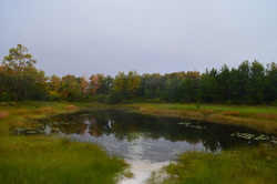
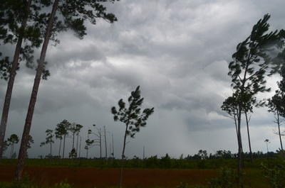
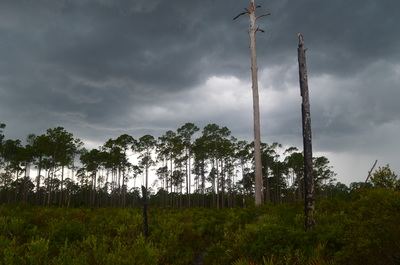
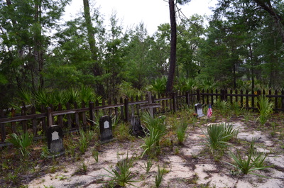
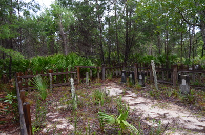
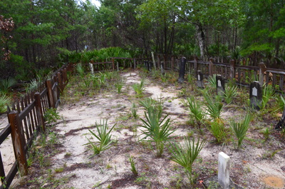
The Ocala National Forest is home to the endangered sand scrub pine habitat. In the Ocala is the largest unbroken tract of this habitat in the world. This long but beautiful hike on the Florida Trail showcases the beauty of the sand scrub pine habitat and the vast prairies that surround it. On this excursion, you will also see Hidden Pond, a small pond in the middle of the prairie land, and you will see the Long Cemetery, a small, old cemetery located on the historic Yearling Trail. This hike occurred on Sunday, July 5th, 2015. My plan was to hike the Florida Trail from the trailhead on Florida State Route 40 to the junction with the Yearling Trail 10 miles later. From there, I would take the Yearling Trail to the Long Cemetery. I would return the same way.
Summary
R/T Length of Trail: 21 Miles
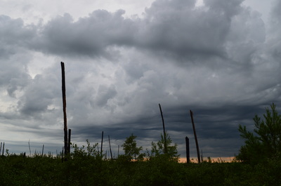
Duration of Hike: 7:45 Type of Hike: Out and back Difficulty Rating: 4 out of 10 Total Elevation Gain: Minimal Pros: Well-defined trail Cons: Most of the hike is open and can be dangerous in thunderstorms Points of Interest: Hidden Pond; Long Cemetery Best Season(s) to Hike: Fall; Winter; Spring Trail Blaze Color(s): Florida Trail - Orange; Yearling Trail - Yellow Fees: None at FL State Route 40 Trailhead; There is a day use fee of $5 per person at the Juniper Springs Recreation Area Beginning Point: Florida State Route 40 Florida Trailhead Directions: From Salt Springs, FL: Follow Florida State Route 19 South for 15.5 Miles. Then, turn right onto Florida State Route 40. Continue for 3.2 miles and then park on the grass by the road. There is no official parking, so you may have a hard time finding the place to park. The grass by the road is wider than elsewhere here, and there is a Florida Trail sign at the tree line on the right where the trail is. MapDetails
The Ocala National Forest is the second largest national forest in Florida. It is also the oldest national forest east of the Mississippi River, and it is the southernmost national forest in the US. Ocala is the Native American term for "fair land" or "big hammock". Throughout the forest, the Florida Trail and other adjacent paths provide plenty of hiking opportunities. In addition, Juniper Springs Recreation Area and Alexander Springs Recreation Area provide various amenities. This hike is a great sampler of Ocala National Forest, although for those whose legs aren't as sturdy as mine, turning this hike into an overnighter would be a good idea. The campsite at Hidden Pond is a good one and would be a great place to spend the night.
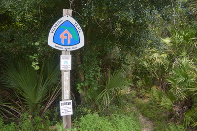
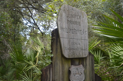
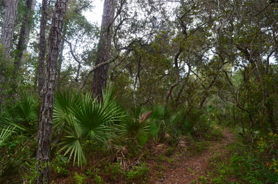
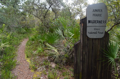
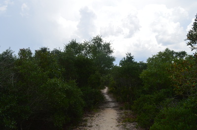
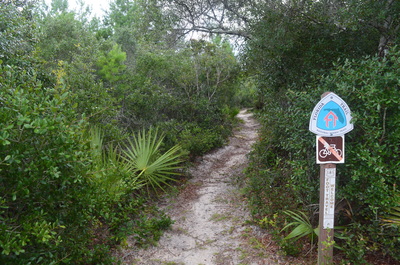
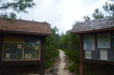
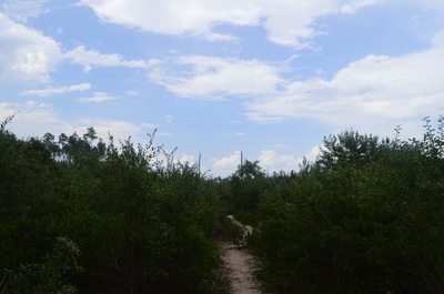
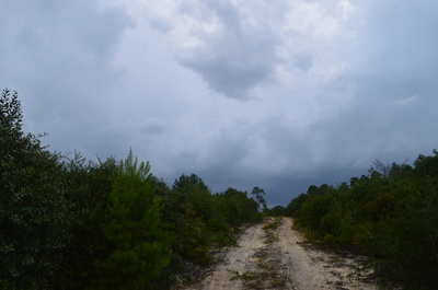
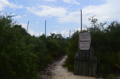
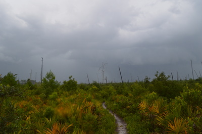
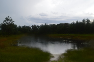
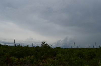
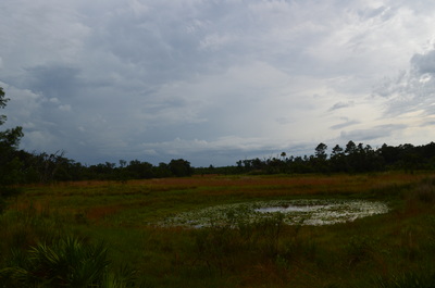
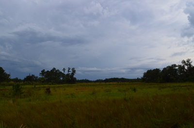
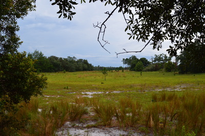
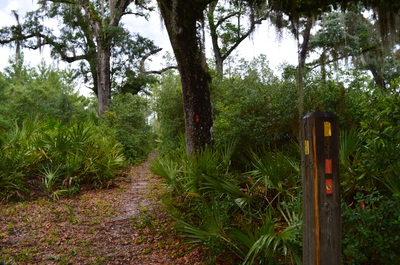
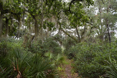
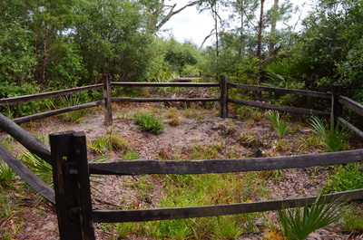
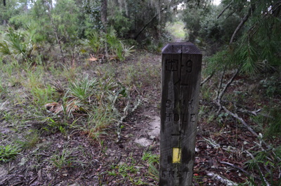
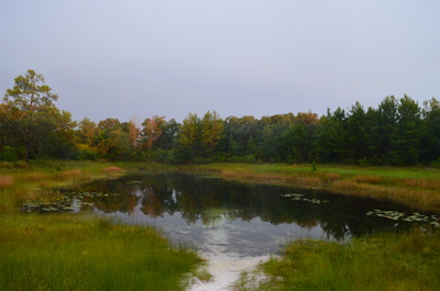
Most people would shorten this hike by two miles by starting at Juniper Springs Recreation Area, but I started slightly further east in order to avoid the entrance fee to the recreation area. From the place where the Florida Trail crosses FL Route 40, drop into the woods on the north side of the road. The trail descends briefly into a low area. There is a sign letting you know that you've entered the Juniper Prairie Wilderness. You'll leave and re-enter the wilderness soon. Shortly afterward, pass a mileage sign. The forest is relatively dense here, an unusual sight for Florida. At 0.7 miles, leave the wilderness and climb a small hill on a sandy, open trail. At 1 mile, the uphill ends at the entrance road to Juniper Springs Recreation Area. The recreation area is to your right. The Florida Trail continues straight across the road. Shortly after the road crossing, reach two kiosks with information regarding the Ocala National Forest. At 1.9 miles, after several short ascents and descents through forest, enter the open prairies - that you won't leave for many miles. At 2 miles, re-enter Juniper Prairie Wilderness and cross a rough dirt road from the recreation area. Following the road, the trail stays in generally open terrain for miles, although it does wind through thin pine forest from time to time. At around 3.5 miles, you will cross Whiskey Creek. The crossing does not have a footbridge anymore, but the creek is still easily crossed, and the only issue is the rough, slippery approach to the crossing. Following the crossing of Whiskey Creek, the trail continues across rolling hills with wide views until reaching Hidden Pond at 7 miles, following a descent. This large pond is totally natural and was created by two sinkholes. There is a nice campsite by the pond. From Hidden Pond, the Florida Trail veers right and climbs briefly, soon leveling out in the prairie. There are many good viewpoints over the next several miles, and also, you will pass a number of sinkholes. At 9.6 miles, the trail makes a relatively steeper ascent, leaves the prairie, and reaches the junction with the Yearling Trail at 9.7 miles. The junction can be confusing for those who do not know the detailed agenda for this hike. The junction is marked by a tall wooden pole that has a number of orange and yellow blazes on it. At this junction, I turned right onto the Yearling Trail in the direction of Long Cemetery. The Florida Trail continued straight. Shortly after the right turn, a spur trail on the right leads to an old homestead. After this, the Yearling Trail travels over rolling hills through sparse forest, before reaching a trail intersection marked by a wooden post with some info carved into it at 10.4 miles. To see the Long Cemetery, turn right here. The short spur trail reaches the cemetery at 10.5 miles. This is the turnaround point for the hike. Retrace your steps the way you came, and you will end the hike at 21 miles. Variations
Florida State Route 40 to Hidden Pond and back - 14 Miles
Or turn the full hike into a two-day adventure Bonus Stops
Mileage
0.0 - Florida State Route 40 Trailhead
0.7 - Temporarily leave Juniper Prairie Wilderness 1.0 - Juniper Springs Recreation Area 1.9 - Enter prairie land 2.0 - Re-enter Juniper Prairie Wilderness 3.5 - Cross Whiskey Creek 7.0 - Hidden Pond 9.6 - Leave prairie land and make a relatively steep ascent into uplands 9.7 - Turn right onto Yearling Trail at junction 10.4 - Junction with shortcut and side trail to Long Cemetery, turn right onto side trail 10.5 - Long Cemetery, retrace your steps the same way back to Florida State Route 40 21.0 - Florida State Route 40 Trailhead Pictures
0 Comments
Leave a Reply. |
About MeMark Oleg Ozboyd Dear readers: I have invested a tremendous amount of time and effort in this website and the Georgia Waterfalls Database the past five years. All of the work that has gone in keeping these websites updated with my latest trip reports has almost been like a full-time job. This has not allowed me to pick up a paid job to save up money for college, and therefore, I I've had to take out loans. If you find the information on this website interesting, helpful, or time-saving, you can say "thanks" and help me out by clicking the button above and making a contribution. I will be very grateful for any amount of support you give, as all of it will apply toward my college tuition. Thank you!
Coming in 2022-2023?
Other Hiking WebsitesMiles HikedYear 1: 540.0 Miles
Year 2: 552.3 Miles Year 3: 518.4 Miles Year 4: 482.4 Miles Year 5: 259.9 Miles Archives
March 2021
Categories
All
|

 RSS Feed