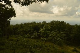
Located in Georgia's Pickens County, 3288-foot Mount Oglethorpe is a point of historical significance: it is the former southern terminus of the Appalachian Trail. It is no longer the AT terminus though, because in the 1950s, the area around Mount Oglethorpe became heavily developed and easy road access to Mount Oglethorpe led to vandalism. That is why the Appalachian Trail terminus was moved to Springer Mountain, which is known as a much more remote location that is not susceptible to development. Mount Oglethorpe is also known for the Oglethorpe Monument, a marble obelisk that was 38 feet high. The monument is now in downtown Jasper though, because it was relocated from the summit of Mount Oglethorpe in 1999 after it was heavily damaged by lightning. The summit of Mount Oglethorpe was off-limits for a long time, but today, a public park named Eagle's Rest Park makes visitor access quite easy. Eagle's Rest Park is home to several short hiking trails and a few observation decks with views in different directions. This hike occurred on Saturday, June 17th, 2017. My plan was to hike the Oglethorpe Mountain Trail in a clockwise direction, passing the North View and East View. I would also hike a section of the Eagle's Rest Trail to visit the West View and South View.
Summary
R/T Length of Trail: 2.2 Miles
Duration of Hike: 1:20 Type of Hike: Loop Difficulty Rating: 3 out of 10 Total Elevation Gain: 620 Feet Pros: Eagle's Rest Park is a great place for beginner hikers Cons: Some of the views from Mount Oglethorpe are very limited Points of Interest: Views from Mount Oglethorpe - 3 stars cumulatively (South View and East View are best); Double Spring Trail Blaze Colors: Eagle's Rest Trail - White; Mount Oglethorpe Trail - Yellow; Grassy Knob Vista Trail - Blue Best Seasons to Hike: Winter Fees: None Beginning Point: Eagle's Rest Parking Area Directions from Jasper, GA: From the intersection of Burnt Mountain Road and Highway 53 in downtown Jasper, follow Burnt Mountain Road north for 3.6 miles. Then, continue straight onto GA Route 136 East for another 7.6 miles. At the Pickens/Dawson County Line at the top of the ascent on GA 136, turn right onto Monument Road. At 2.2 miles, Monument Road turns into a rather narrow (nearly one-lane) road, and at 4.5 miles, Monument Road turns unpaved and enters Eagle's Rest park at a gate. 4.8 miles from GA 136, turn left onto a side road at the sign "Main Parking Area". The shoulder (and pullouts along the way) of the 500-foot side road serves as the parking area. I would say that around ten cars can fit into the parking area. Map
Click here to download a track of this hike.
Details
Eagle's Rest Park is the fruit of one of Georgia's most successful recent land acquisitions, in terms of public lands. Approximately 107 acres of land surrounding the summit of Mount Oglethorpe were purchased by Ken Rice and his wife in 1995. Their property was gradually developed as a public park, and it opened in 2014 under the name Eagle's Rest Park. Since then, four observation platforms with views were constructed around the summit, and today, the Mountain Stewards maintain a trail system consisting of several short loop trails in the park. For my hike at Eagle's Rest Park, my goal was to hike the longest loop and also visit all four viewpoints.
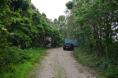
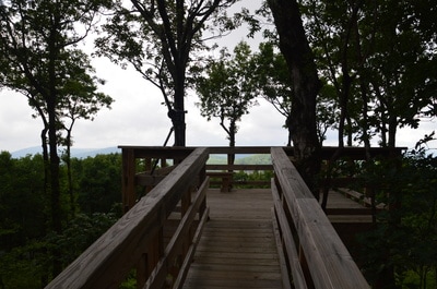
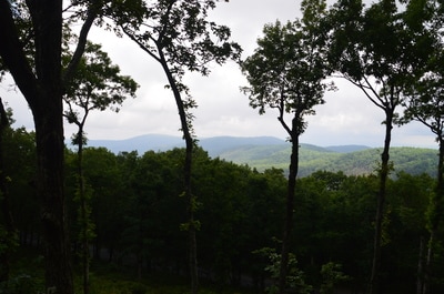
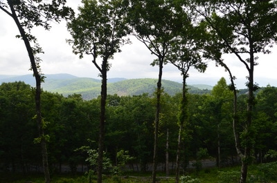
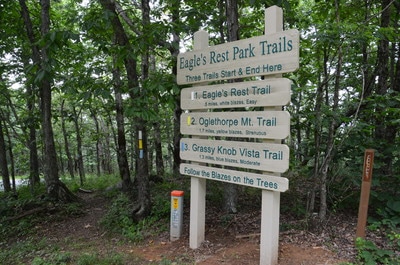
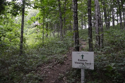
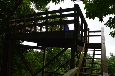
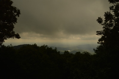
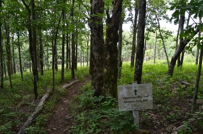
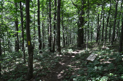
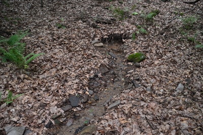
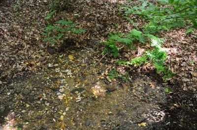
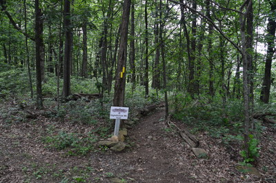
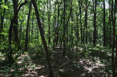
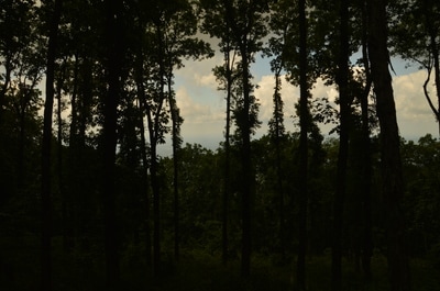
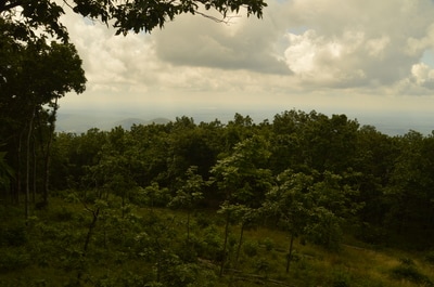
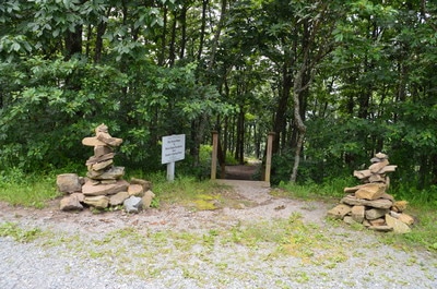
The best point to begin a hike at Eagle's Rest Park is the main parking area. This mileage assumes that you started at the far end of the parking area, which is what I did. The Northern Deck is actually located in the middle of the parking area, about 150 feet below its end. From this deck, there is a panoramic view to the north but it is limited due to a handful of tall trees in the scene. Continue for 200 more feet to the beginning of the parking area (the beginning of the side road from Monument Road). A large sign and a trailhead kiosk mark the trailhead. All three park trails - Eagle's Rest Trail, Oglethorpe Mountain Trail, and Grassy Knob Vista Trail - begin here. In a few feet, bear right on the white-blazed Eagle's Rest Trail/yellow-blazed Oglethorpe Mountain Trail while the blue-blazed Grassy Knob Vista Trail continues straight. The Oglethorpe Mountain Trail passes through a clearing below the Northern Deck and then slowly curves around the summit of the mountain. At 0.3 miles, a signed 100-foot side trail leaves to the right and leads to the Eastern Deck. The eastward panorama from this deck is one of the better views on Mount Oglethorpe. From the deck, much of the valley in the view is developed in the form of Big Canoe (a private residential community). In fact, the two lakes that are visible - the larger Lake Petit and the smaller Sconti Lake - are on the property of Big Canoe. Continuing on the main trail, you will reach a signed junction at 0.4 miles. The Eagle's Rest Trail continues straight to close its half-mile loop, while this hike turns left onto the steeply descending Oglethorpe Mountain Trail. You will leave most people behind as the trail loses no time in descending south through a hardwood forest with good winter views. At 0.5 miles, Oglethorpe Mountain Trail crosses the Grassy Knob Vista Trail. Despite the name, I am not aware of any views on the Grassy Knob Vista Trail, and its highlight is supposed to be a sizable rock garden. Passing a few benches (benches are strategically positioned all throughout the trail system), the Oglethorpe Mountain Trail continues descending sharply before turning left and reaching a junction with the 150-foot side path to a picnic area at 0.9 miles. The picnic area does have a highlight: it is located in the middle of Double Spring. Double Spring consists of two small springs, one to the left and one to the right of the picnic table. These springs yield enough water to form a pleasantly cascading stream just below.
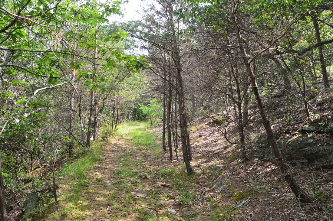
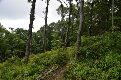
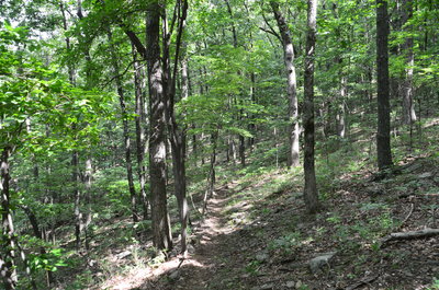
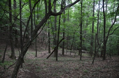
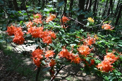
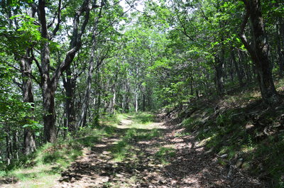
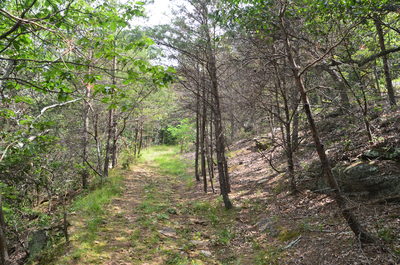
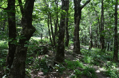
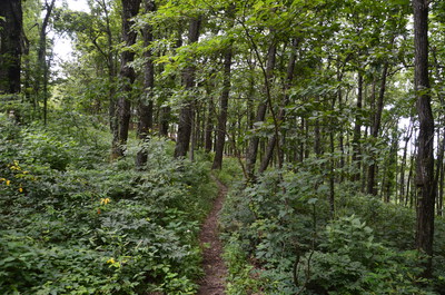
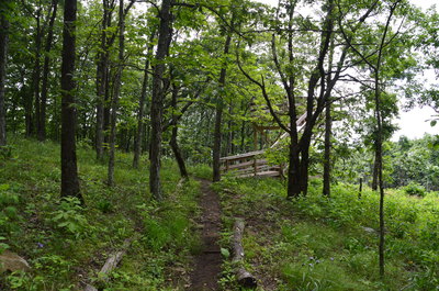
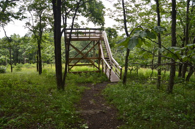
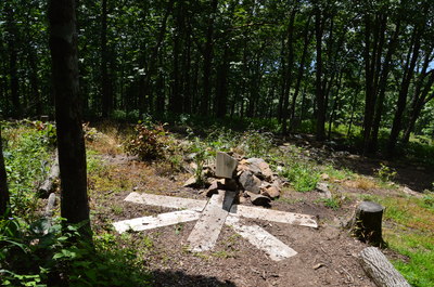
Returning to the main trail, you will reach the lowest point of the hike at 1.0 miles, where there is a signed intersection with an old CCC logging road. A beautiful flame azalea bush was blooming on this day at the intersection. To the left, the logging road leads to private property on the south side of Mount Oglethorpe, so the trail turns right onto the road, beginning an easy ascent along the park boundary. At one point, the old road passes a piney area with some small rock outcrops. Stay on the main trail as an old road with a distinct path leaves to the left, acting as an access point for residents of the Bent Tree private community. At 1.55 miles, reach a gap in a east-west ridge from Mount Oglethorpe. Here, there is an intersection of old logging roads. The road that you have been following continues straight to Monument Road, while the trail turns right and another logging road leads left to Bent Tree. The main trail steepens as it ascends back up Mount Oglethorpe, recrossing the Grassy Knob Vista Trail at 1.7 miles. You will pass the terminus of the Grassy Knob Vista Trail on the left at 1.85 miles, a few yards before the end of the Oglethorpe Mountain Trail itself, directly across from the main parking area. Don't conclude the hike just yet though! Continue onto the Eagle's Rest Trail, reaching at 1.95 miles the Western Deck below a set of stairs that provide access to Monument Road. The Western Deck provides a very limited view into the Bent Tree area; I think that it is the worst of the four views on the hike. The trail continues straight to the Southern Deck, an elevated deck that it reaches at 2.0 miles.
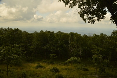
Even though there are a few trees in the way, the view from Southern Deck is panoramic and good enough thanks to the large clearing that was created below the deck. The Georgia Piedmont includes pretty much the entire view from the Southern Deck. From the Southern Deck, leave the Eagle's Rest Trail and turn left onto the access trail up to the summit of Mount Oglethorpe. You will pass a large eagle sculpture made of stone at 2.05 miles before ascending the final set of steps to the Eagle's Rest Trailhead at 2.1 miles. Continue ahead on the broad path between the microwave towers that crown the summit of Mount Oglethorpe. This path comes out at the main parking area, where you will conclude the hike at 2.2 miles. Mileage
0.0-0.1 - Main Parking Area/North View/Oglethorpe Mountain Trailhead
0.3 - Eastern View 0.9 - Double Spring Picnic Area 1.0 - Reach CCC Logging Road 1.55 - Leave CCC Logging Road 1.95 - Western View 2.0 - Southern View 2.1 - Eagle's Rest Trailhead 2.2 - Main Parking Area Variations
Hike just the Eagle's Rest Loop (easy alternative to the Oglethorpe Mountain Trail that still allows you to see all four views) - 0.5 Miles
Bonus Stops
The nearby Wildcat Tract of Dawson Forest Wildlife Management Area has several hiking trails leading to a total of five waterfalls. Trailheads off Monument Road and Steve Tate Road make adding on a hike at Wildcat Tract to the Mount Oglethorpe hike easy.
PicturesVideos
1 Comment
Carroll
9/25/2020 02:07:00 pm
Do you know where I can get an old map of the AT from Ogelthorpe to Amicolola falls?
Reply
Leave a Reply. |
About MeMark Oleg Ozboyd Dear readers: I have invested a tremendous amount of time and effort in this website and the Georgia Waterfalls Database the past five years. All of the work that has gone in keeping these websites updated with my latest trip reports has almost been like a full-time job. This has not allowed me to pick up a paid job to save up money for college, and therefore, I I've had to take out loans. If you find the information on this website interesting, helpful, or time-saving, you can say "thanks" and help me out by clicking the button above and making a contribution. I will be very grateful for any amount of support you give, as all of it will apply toward my college tuition. Thank you!
Coming in 2022-2023?
Other Hiking WebsitesMiles HikedYear 1: 540.0 Miles
Year 2: 552.3 Miles Year 3: 518.4 Miles Year 4: 482.4 Miles Year 5: 259.9 Miles Archives
March 2021
Categories
All
|







 RSS Feed