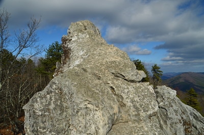
Virginia's "Triple Crown" hike involves a strenuous overnight backpack to three of the area's most famed vistas: McAfee Knob, Dragons Tooth, and Tinker Cliffs. All of these vistas are known for their sweeping long-range panoramas. While getting to all three of these overlooks in one hike requires serious stamina and overnight gear, hiking to any one of the three involves just a simple day hike. Out of the three, Dragons Tooth - as well as the hike to it - might be the most unusual. Dragons Tooth is a unique rock formation that towers like a spire at the southwest end of Cove Mountain. Those who are brave and skilled enough to climb to the top will be awarded with a stunning panorama that encompasses much of Catawba Valley. The hike to Dragons Tooth is no picnic either; this short stretch of the AT - dubbed as the most rugged stretch of the long-distance footpath south of Maine - involves a tricky and time-consuming rock scramble. This hike occurred on Saturday, November 26th, 2016. My plan was to hike the Dragons Tooth Trail to Lost Spectacles Gap, from where I would hike to Dragons Tooth out and back along the Appalachian Trail. After that, I would loop my return route by following the AT northeast to the Boy Scout Trail, concluding the hike along the Boy Scout Trail. This hike was the fifth of seven hikes that I did during a four-day Thanksgiving trip to the mountains of western Virginia.
Summary
R/T Length of Trail: 5.1 Miles
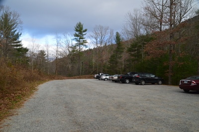
Duration of Hike: 5:00 Type of Hike: Loop with Spur Difficulty Rating: 5 out of 10 Total Elevation Gain: 1672 Feet Pros: Mostly well-graded ascent; secluded vista on the Appalachian Trail northeast of Lost Spectacles Gap Cons: Like all of the Triple Crown destinations, Dragons Tooth can get pretty crowded; It takes some tricky rockscrambling (probably not for beginners) to reach the top of Dragons Tooth Points of Interest: Dragons Tooth Overlook - 8 stars; Appalachian Trail Vista NE of Lost Spectacles Gap - 3 stars Trail Blaze Colors: Dragons Tooth Trail - Blue; Appalachian Trail - White; Dragons Tooth Spur Trail - Blue; Boy Scout Trail - Yellow Best Seasons to Hike: Spring; Summer; Fall Fees: None Beginning Point: Dragons Tooth Trailhead at McAfee Gap Directions from New Castle, VA: From the intersection of VA 42 (Main Street) and VA 311 (Salem Avenue) in New Castle, follow VA 311 South for 9.8 miles. After 9.8 miles, you will see the entrance to the signed Dragons Tooth parking area to the right. Drive 250 feet up the entrance road to reach the parking area. Map
Click the link below to download a .KML file with a track of this hike.
Details
I faced a bit of a dilemma when rating the difficulty of this hike. One one hand, in terms of elevation gain and mileage, this hike is on the low end of moderate by my standards. However, on the other hand, all of the time-consuming rock scrambling makes up for it. I settled with a difficulty of "5" out of 10, although novice/casual hikers may find this hike much more difficult than that, and likewise, expert hikers may find it to be a breeze. Regardless of the exact difficulty, the Dragons Tooth Loop is a very fun hike with really good views.
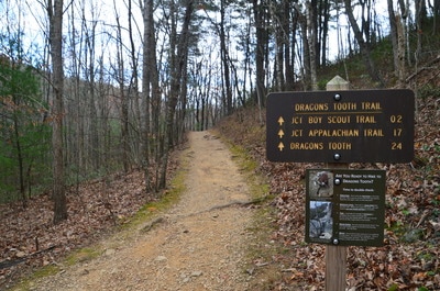
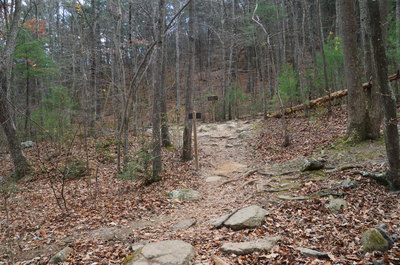
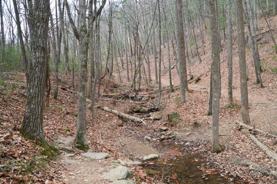
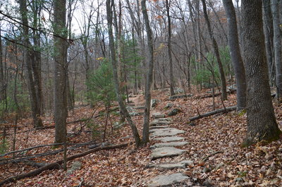
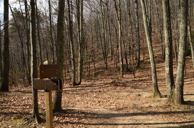
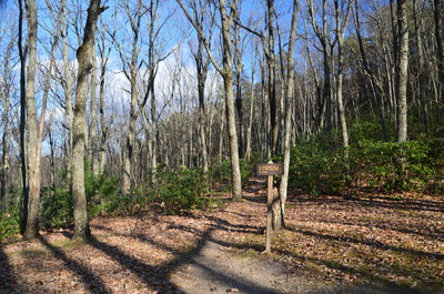
Begin the hike along the Dragons Tooth Trail, which starts at a kiosk at the far end of the parking area. A sign shows a pair of pictures of the trail to Dragons Tooth, although in my opinion, it's not quite as precarious as it looks. The trail starts off with a gentle uphill, soon coming alongside a small stream that is a tributary of McAfee Run. At 0.3 miles, reach an intersection and a campsite area, where the Dragons Tooth Trail turns right while the Boy Scout Trail leaves left. The Boy Scout Trail serves as a short connector to the AT, which then follows a very scenic route southbound along a ridge below Cove Mountain. My plan was to turn this hike into a loop, so for now, I would continue along the Dragons Tooth Trail, but on my return route, I would use the Appalachian Trail and Boy Scout Trail. In fact, I highly recommend hiking this loop rather than the out and back route. Shortly after turning right on the Dragons Tooth Trail, rock hop the stream and return to the west side of it. A low-end moderate ascent begins as the trail leaves the stream, although it is never steep. After a period of mostly easy uphill, the Dragons Tooth Trail ends at an intersection with the Appalachian Trail in Lost Spectacles Gap at 1.55 miles. The sign in the gap states that Dragons Tooth is 0.7 miles away, although the distance is actually closer to a mile (and feels like a lot more!).
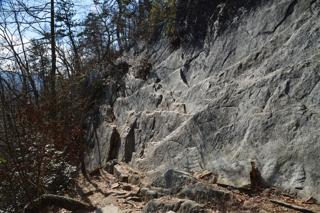
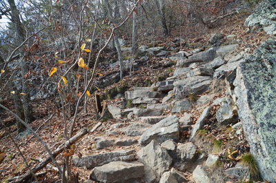
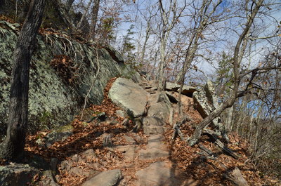
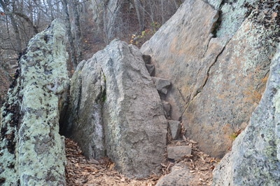
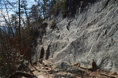
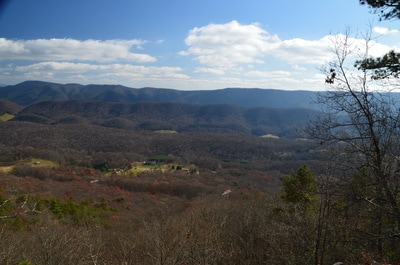
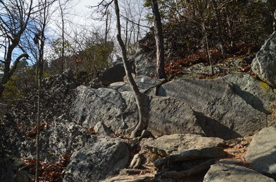
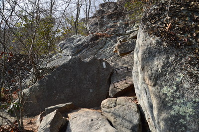
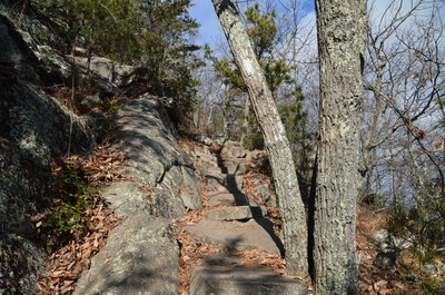
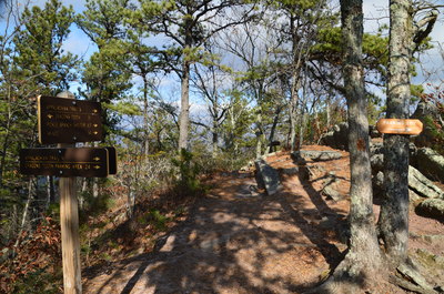
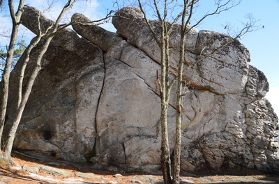
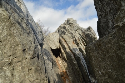
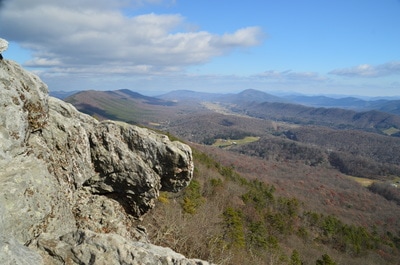
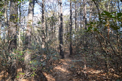
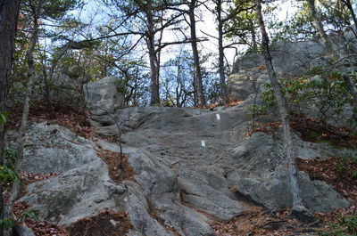
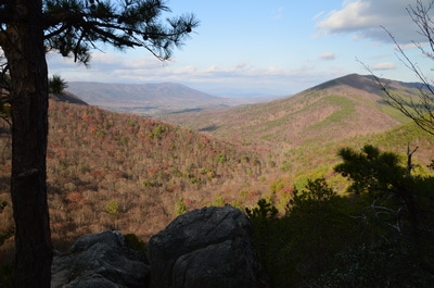
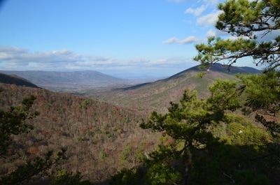
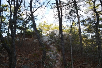
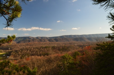
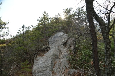
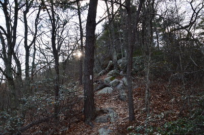
At Lost Spectacles Gap, turn right on the Southbound Appalachian Trail. In a few yards, you will be greeted by a sign that explains the "dangers" of the trail coming up. The trail starts out relatively mild, with only a few rocky stretches and some gentle uphill. The first interesting spot is around 1.9 miles, where the trail ascends a long series of stone steps, over some boulders, and then down some more steps. The further you hike along the trail, the better the winter views are to the east. After 2.1 miles, the trail suddenly gets a lot more challenging. First, there is a very narrow slot (with little space for feet) between two boulders that the trail climbs through, but steps make it easier. Then, after some more rock steps, the trail reaches an ominous-looking rock ledge (that is pictured above). The trail climbs over the ledge, which actually features plenty of handholds. At the top of the ledge at 2.2 miles, there is a beautiful open view of Catawba Valley and Catawba Mountain to the east and northeast. This is a taste of the view at the top of Dragons Tooth, although of course, the view from the top is much more expansive.
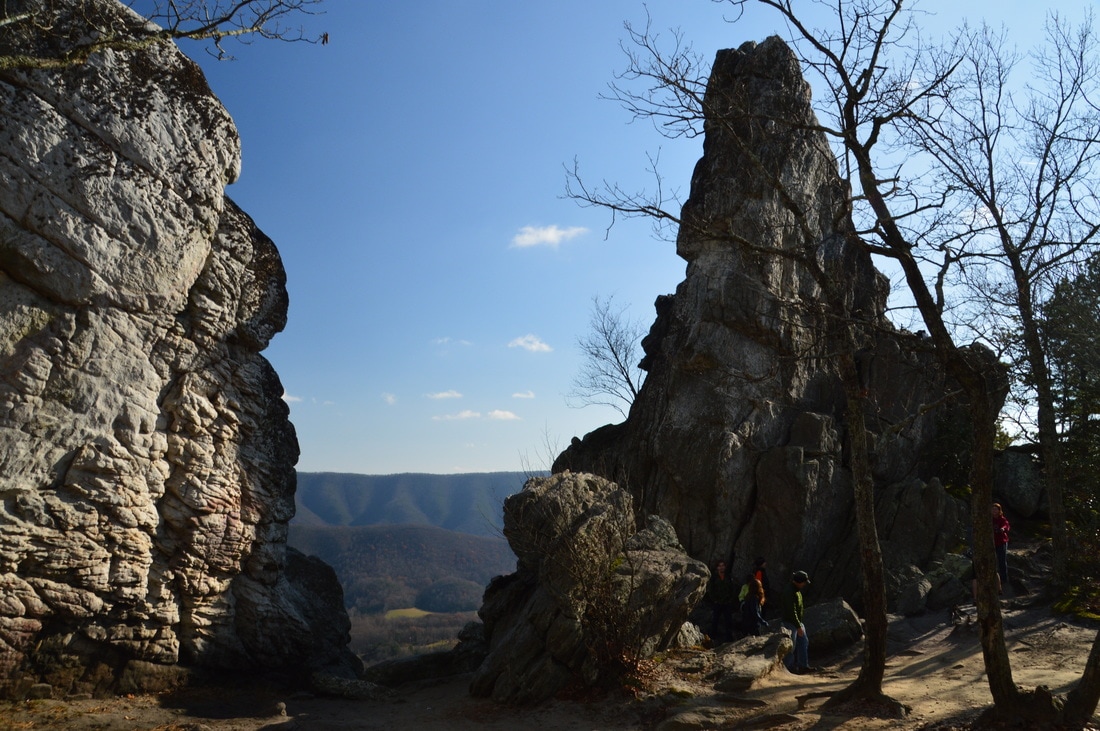
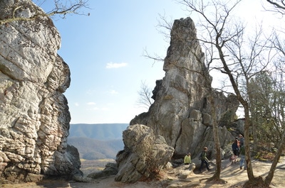
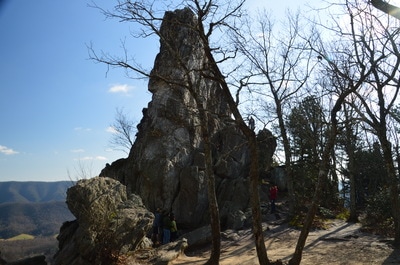
Obstacles come in quick succession after this view. The trail makes several rock scrambles and two switchbacks in the next 250 feet. At both switchbacks, metal "ladder rungs" make the scrambling easier. These metal rungs are extremely slick, probably due to being polished from the heavy use that they receive! By 2.3 miles, you have passed the main obstacles, but the trail continues to stay very rocky as it makes the final push to the top of Cove Mountain. At the top, there is another similar view to the east and northeast. Just ahead, at 2.35 miles, there is a signed junction with the spur trail to Dragons Tooth. The Appalachian Trail turns right and continues along Cove Mountain to eventually reach a trailhead on County Road 620 after passing a side trail to Pickle branch Shelter. This hike turns left onto the blue-blazed spur trail to Dragons Tooth. After all the rockiness, the descending and easy dirt spur trail is a welcome change. The spur trail ends at Dragons Tooth at 2.45 miles. There is a campsite to the right. Dragons Tooth is a very impressive rock formation that towers into the sky like a spire (or perhaps like a finger). There are great views to the east at several spots around Dragons Tooth. I suggest that if you have never done any significant rock scrambling before, then you should not attempt to get to the top of Dragons Tooth. Those of you who are comfortable with mild rock scrambling should not find it all that difficult.
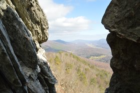
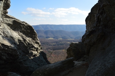
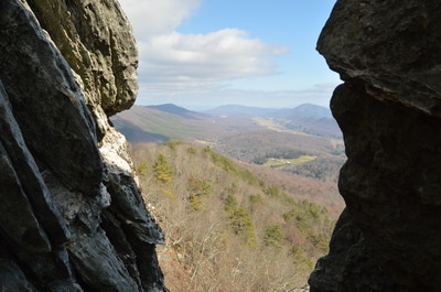
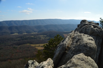
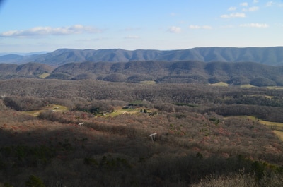
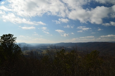
Here is the easiest way, in my opinion, to get to the top of Dragons Tooth. Walk to the back side of the tooth. Then, walk into a passage at the edge of the cliff. There is a crack here (between two rock pillars) that provides an interesting perspective of the view. In fact, the view from that crack is the header for this post. Just ahead, you will see a boulder that has fallen over the aforementioned passage. Crawl through a tunnel under this boulder. On the other side, I managed to pull myself up along the narrow slanted walls of the passage to a flat area just above. This is probably the hardest part of the scramble. The view from the flat area above the passage is very good already, but if you want to get a complete 360-degree panorama, scramble up on your hands and knees along the slanted tooth to its very pinnacle. There is space for only one person at the top of Dragons Tooth. From the top, there is a breathtaking panorama of the Catawba Valley, Catawba Mountain, and North Mountain. The views to the north and west are slightly more limited, but you can see the western extent of Catawba Valley, as well as Brush Mountain. Also, further northwest of Brush Mountain, Sinking Creek Mountain - which is slightly higher than Brush Mountain - can be seen. The long rolling ridges reminded me of views I had seen in the Ridge and Valley area of northwest Georgia, albeit the views in that region are not as grand.
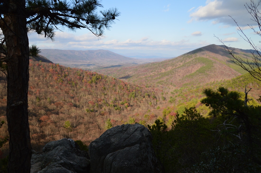
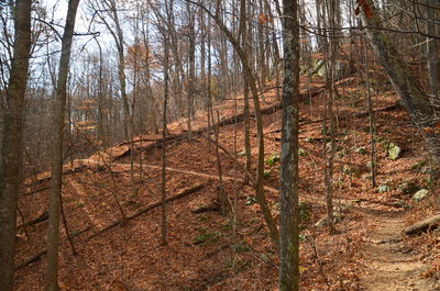
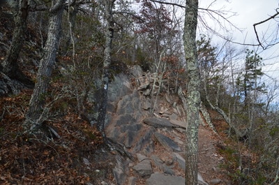
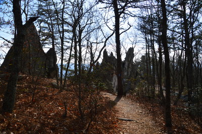
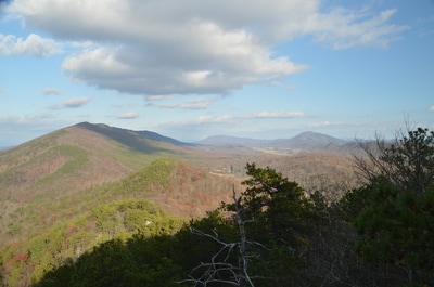
From Dragons Tooth, retrace your steps to Lost Spectacles Gap. Make sure to take your time descending the rock scrambles. You will reach Lost Spectacles Gap at 3.35 miles. Now, continue straight on the Appalachian Trail Northbound to hike the Boy Scout Loop. There is a short moderate ascent out of the gap to an unnamed knob. This is the last uphill on the hike. Reach the top of the unnamed knob in a mountain laurel thicket at 3.45 miles. Shortly afterwards, a small rock outcrop provides a view east into Catawba Valley and toward Catawba Mountain. Then, the white-blazed trail descends a ledge that requires a minor scramble. As the descent steepens, there is a large rock outcrop to the left that provides a great view of North Mountain, Catawba Valley, and the Craig Creek valley at 3.65 miles. A separate hiking trail, called the North Mountain Trail, traverses the North Mountain Ridge for many miles, and from here, it looks like the sharp ridge would provide great views in winter. At 3.8 miles, the trail scrambles over a rock formation with more views of Catawba Valley and back toward Cove Mountain. A proliferation of minor rock scrambles makes this section of the trail quite rugged and slow - more so than I anticipated. The slow pace allows one to better appreciate the great winter views that the knife-edge ridge affords.
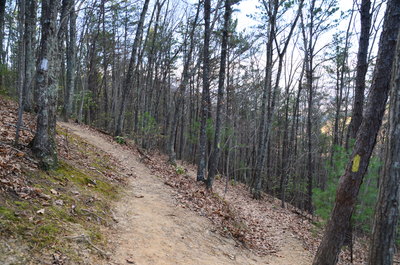
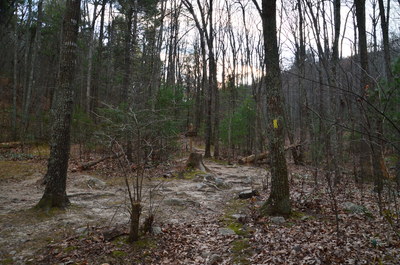
At 4.0 miles, the trail drops into a gap between below the next unnamed knob. After this, the trail finally attains the characteristics of a true path, meandering along the west side of the knob. As North Mountain stands threateningly to the north, the Appalachian Trail reaches a junction with the Boy Scout Trail at 4.45 miles. The AT continues to County Road 624, Catawba Mountain, and eventually McAfee Knob, but this hike turns left onto the Boy Scout Trail. This yellow-blazed trail is rather nondescript; it simply serves as a convenient connector back to the Dragons Tooth Trail. A moderate descent with switchbacks leads to the end of the loop at the Dragons Tooth Trail junction at 4.8 miles. Turn right here and follow the Dragons Tooth Trail back to the trailhead, reaching it and concluding the hike at 5.1 miles.
Mileage
0.0 - Dragons Tooth Trailhead
1.55 - Lost Spectacles Gap 2.45 - Dragons Tooth 3.35 - Lost Spectacles Gap 3.65 - View of North Mountain & Craig Creek Valley 5.1 - Dragons Tooth Trailhead Variations
Hike out and back to Dragons Tooth via Dragons Tooth Trail - 4.9 Miles
Bonus Stops
At least one of the the two nearby hikes to Tinker Cliffs and McAfee Knob (the other two destinations in Virginia's Triple Crowns) can be added on to to the Dragons Tooth Loop to make for a full day. Both McAfee Knob and Tinker Cliffs have great views, although McAfee Knob can get extremely crowded.
PicturesVideos
0 Comments
Leave a Reply. |
About MeMark Oleg Ozboyd Dear readers: I have invested a tremendous amount of time and effort in this website and the Georgia Waterfalls Database the past five years. All of the work that has gone in keeping these websites updated with my latest trip reports has almost been like a full-time job. This has not allowed me to pick up a paid job to save up money for college, and therefore, I I've had to take out loans. If you find the information on this website interesting, helpful, or time-saving, you can say "thanks" and help me out by clicking the button above and making a contribution. I will be very grateful for any amount of support you give, as all of it will apply toward my college tuition. Thank you!
Coming in 2022-2023?
Other Hiking WebsitesMiles HikedYear 1: 540.0 Miles
Year 2: 552.3 Miles Year 3: 518.4 Miles Year 4: 482.4 Miles Year 5: 259.9 Miles Archives
March 2021
Categories
All
|
||||||







 RSS Feed