Streams flowing off the north slopes of Unaka Mountain feature many of Northeast Tennessee's finest waterfalls. Particularly notable is a stream called Dick Creek, which features four stunning waterfalls in the Unaka Mountain Wilderness, including a unique 25-foot quadruple-flow falls and a spectacular 60-foot part-free-falling waterfall. All four waterfalls can be accessed out of Rock Creek Recreation Area via the Rattlesnake Ridge Trail, Dick Creek Trail/Road, and an unofficial pathway along Dick Creek. Additionally, a more popular waterfall - Rock Creek Falls - can be included on this hike, as it's also accessed out of Rock Creek Recreation Area along the Rock Creek Falls Trail, a very scenic trail with numerous stream views and even a bonus waterfall. This hike occurred on Thursday, April 26th, 2018. My plan was to hike out and back along the Rattlesnake Ridge Trail and Dick Creek Trail/Road to the waterfalls on Dick Creek. I would then return to the Rock Creek Recreation Area and hike the Rock Creek Trail out and back to Rock Creek Falls. This hike was the first of six hikes that I did during a four-day trip to the mountains of northeast Tennessee and northwest North Carolina.
Summary
R/T Length of Trail: 10.9 Miles
Duration of Hike: 8:15 Type of Hike: Double Out and Back Difficulty Rating: 8 out of 10 Total Elevation Gain: 2989 Feet Pros: Secluded waterfalls on Dick Creek Cons: A section of the hike to Dick Creek follows a road that is open to ATVs and 4WD vehicles Points of Interest: Lower Dick Creek Falls - 6 stars; Upper Dick Creek Falls - 10 stars; Upper Upper Dick Creek Falls - 10 stars; Upper Upper Upper Dick Creek Falls - 7 stars; Lower Rock Creek Falls - 4 stars; Rock Creek Falls - 9 stars Trail Blaze Colors: Rattlesnake Ridge Trail - Blue; Dick Creek Trail/Road - Orange; Dick Creek Waterfalls Path - None; Rock Creek Falls Trail - None Best Seasons to Hike: Spring Fees: There is a $2 fee per car for day use parking in the Rock Creek Recreation Area. Beginning Point: Rock Creek Recreation Area Directions from Erwin, TN: From the intersection of TN 395 and TN 107 in Erwin, follow TN 395 South for 3.1 miles. Then, turn left onto the entrance road to Rock Creek Recreation Area. Continue 0.1 mile to the pay station and parking area. Map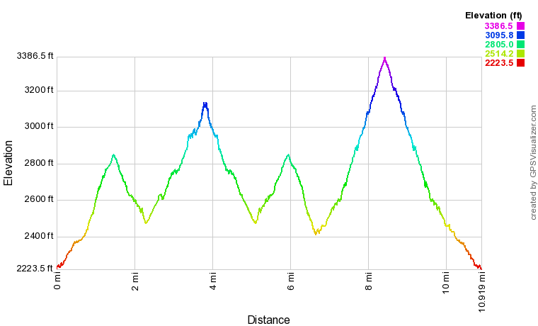
Click the link below to download a .GPX file with a track of this hike.
Details
In late April 2018, I took a 4-day trip into Northeast Tennessee to visit a number of bucket-list natural destinations, including the waterfalls of Dick Creek (described in this report), the views on Firescald Knob, and the famed Black Mountains Crest Trail. The first day of my trip was encompassed by the full-day hike to Dick Creek and Rock Creek. Having seen six notable waterfalls throughout the day, three of which were absolutely breathtaking, I wasn't disappointed at all!
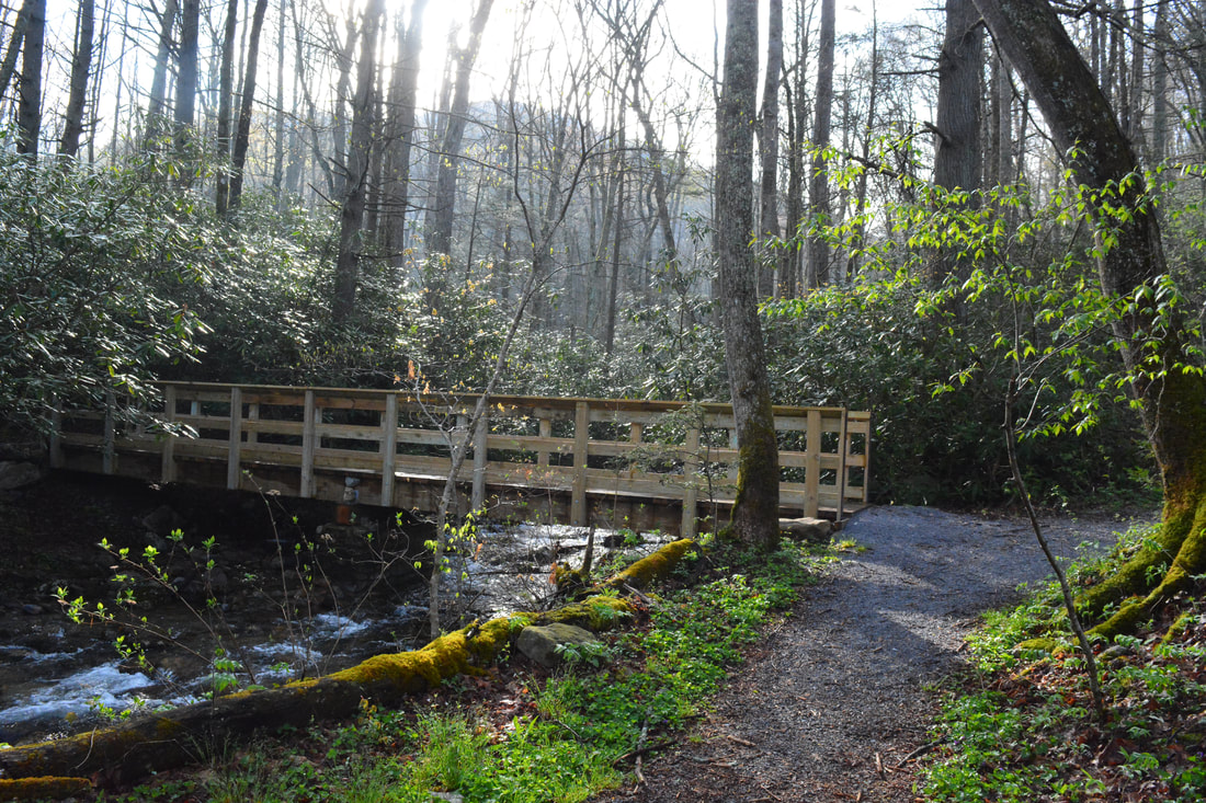
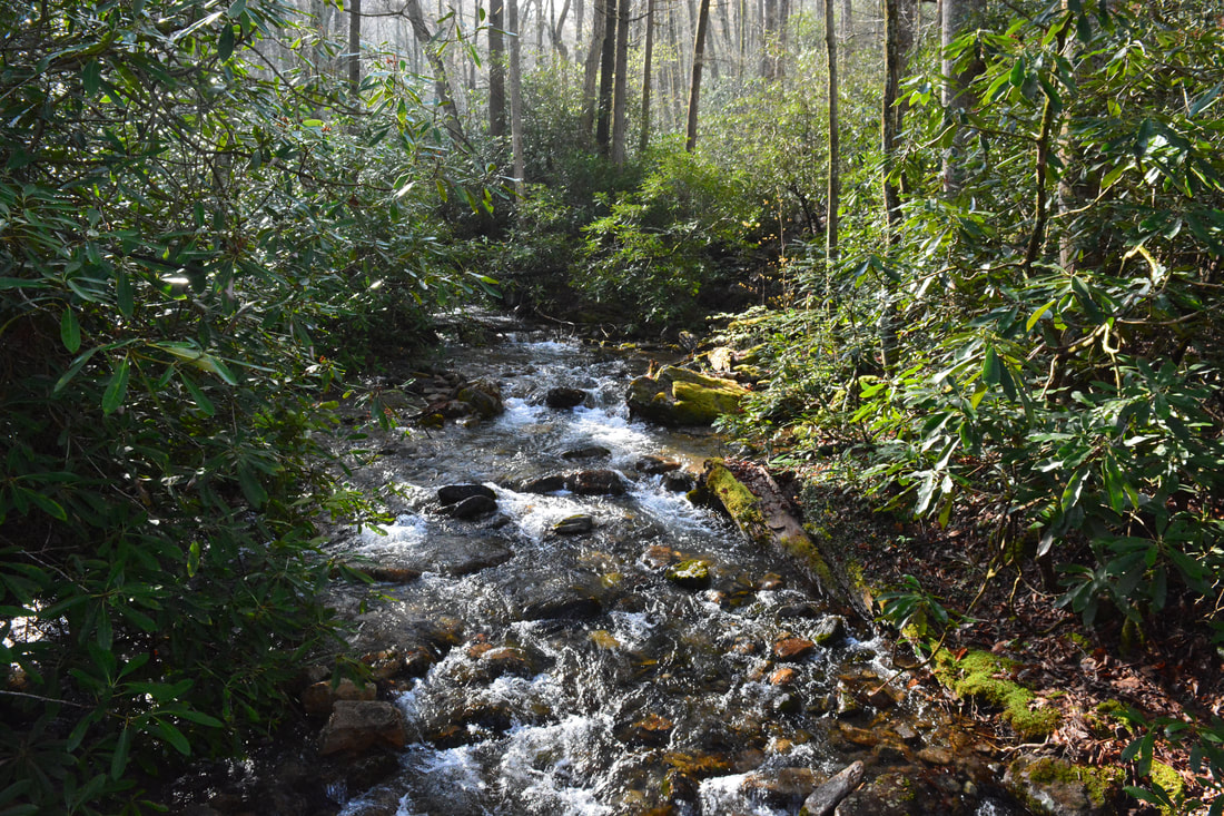
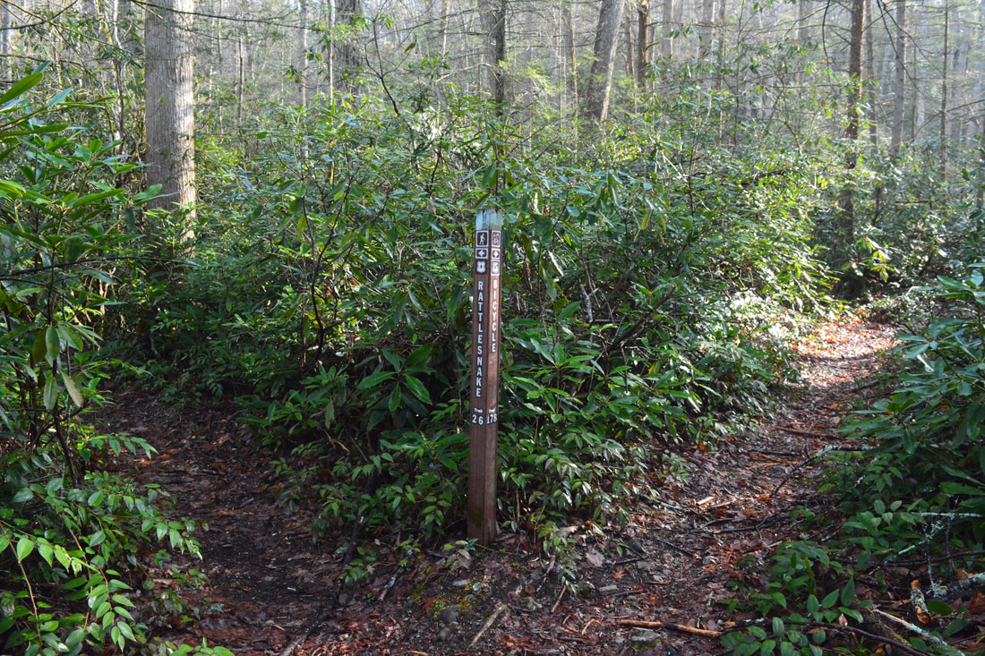
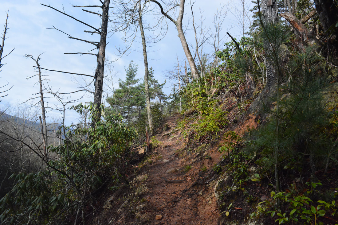
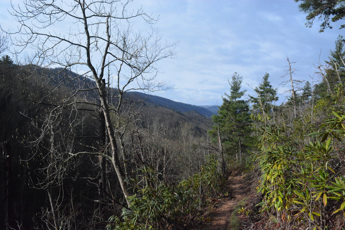
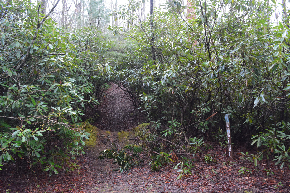
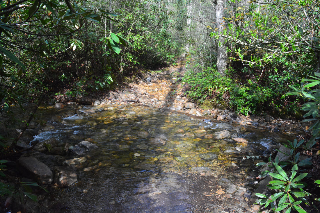
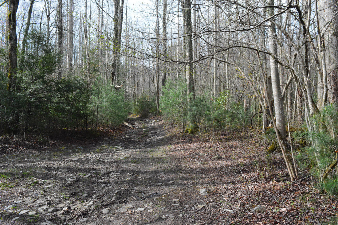
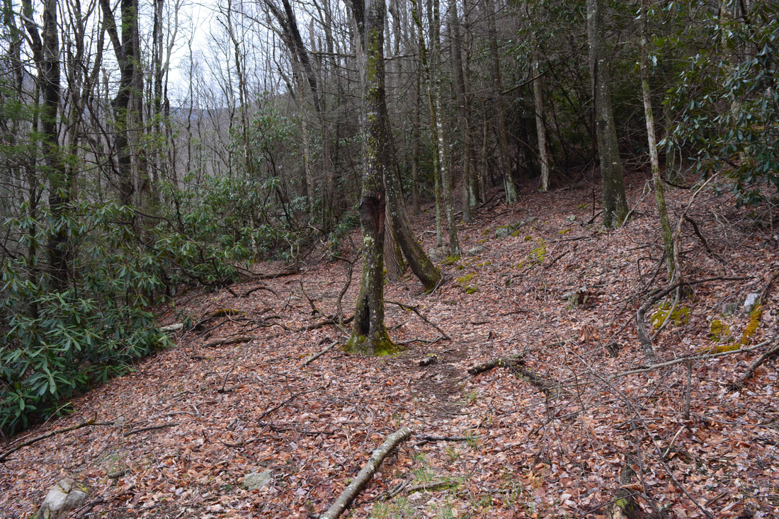
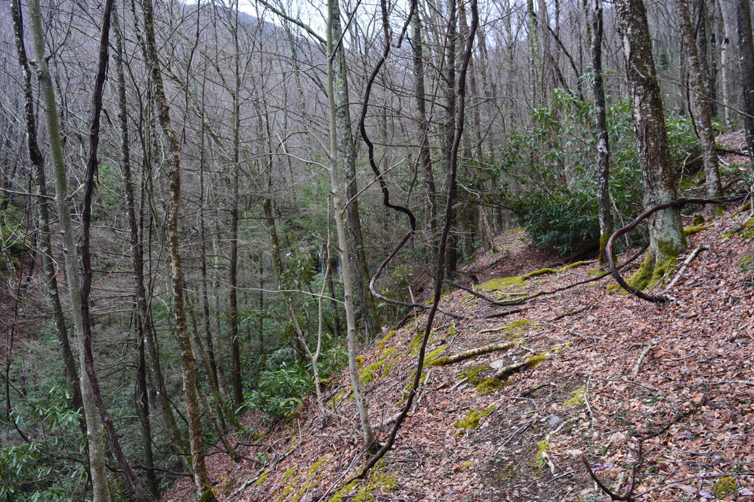
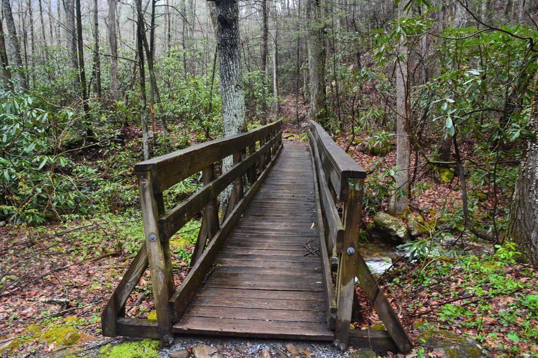
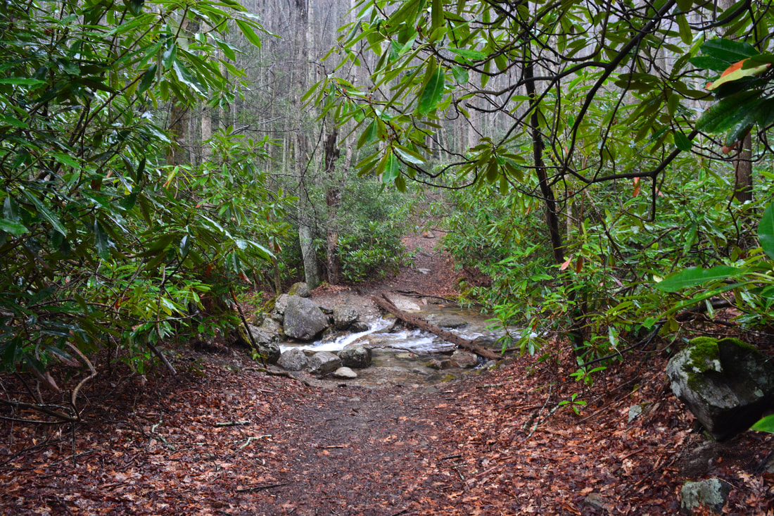
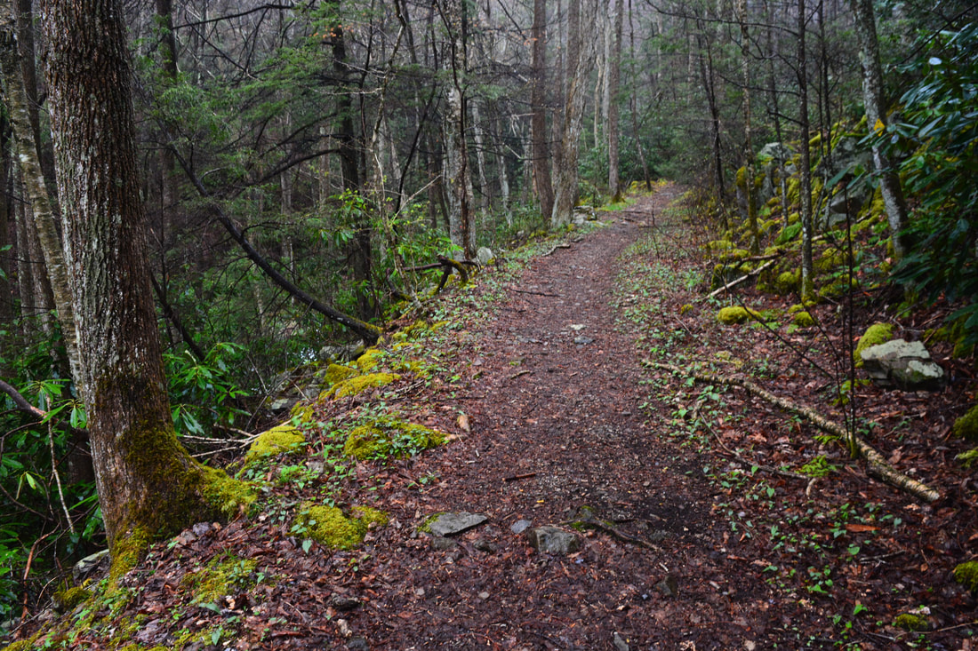
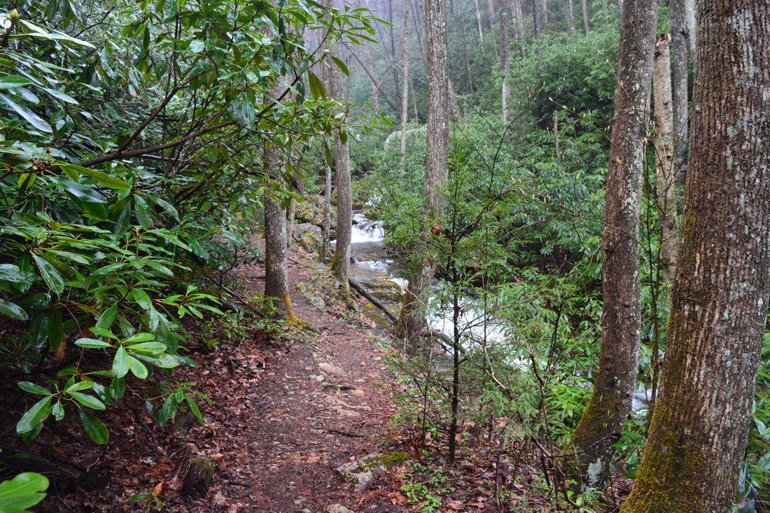
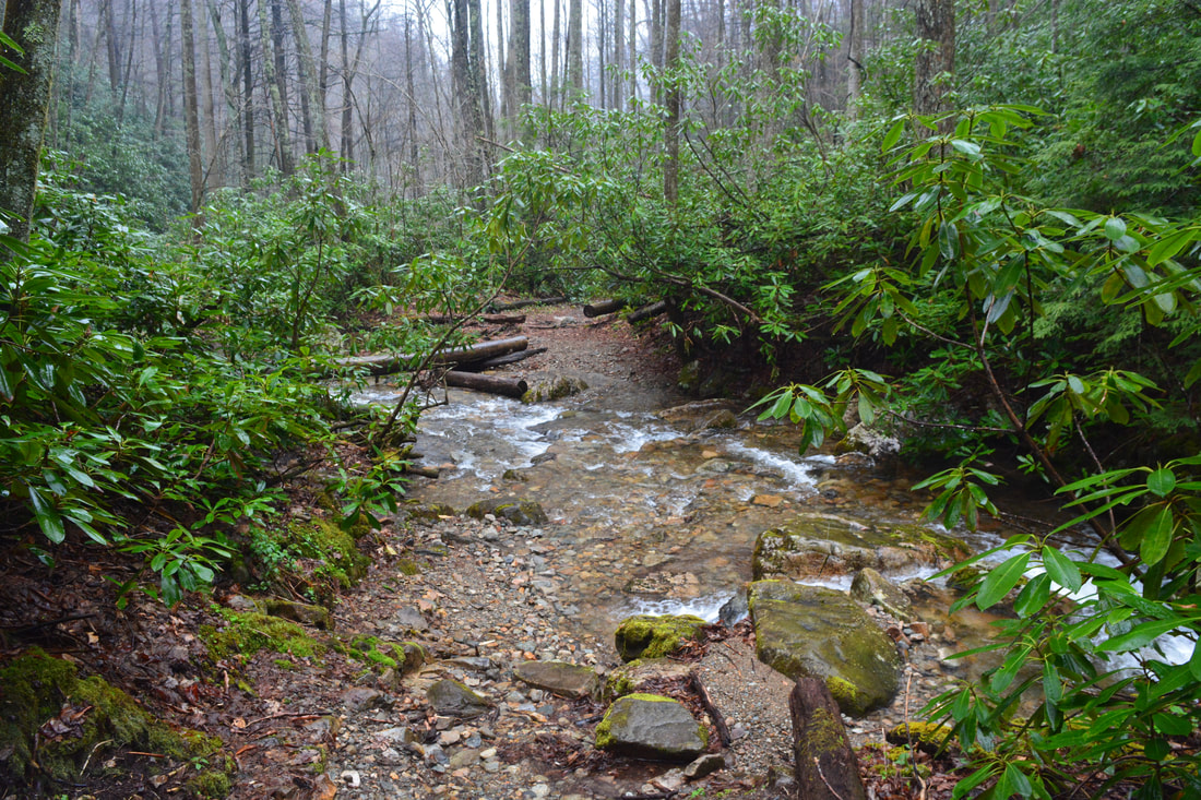
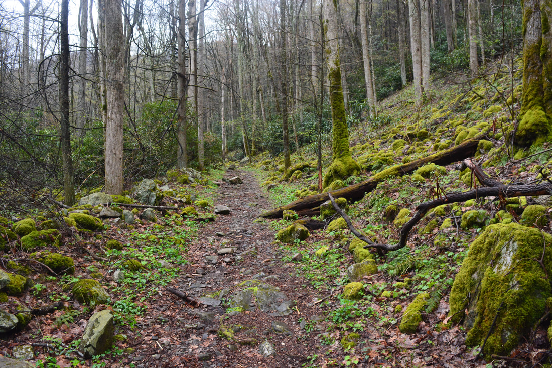
Begin the hike along the path at the middle of the far row of the day use parking area (past the playground). The path heads between the two sides of the campground loop, but it ends up joining the paved road at 0.15 miles. At 0.25 miles, the Bicycle Trail, Rock Creek Falls Trail, and Rattlesnake Ridge Trail all begin in conjunction on the left. A hiking/biking sign also marks the start of the trail. Begin following the graveled pathway along the rushing waters of Rock Creek, passing a small old dam. At 0.6 miles, at the far end of the Rock Creek Campground, there's a junction. The Rock Creek Falls bears right past the large kiosk, while the Bicycle Trail and Rattlesnake Ridge Trail turn left onto a broad wooden footbridge across Rock Creek. If you wish to see the waterfalls on Dick Creek first, as I'd recommend, then turn left. The path meanders through flat woods and comes to another split at 0.75 miles, where the Bicycle Trail bears right back toward Rock Creek Falls, while the Rattlesnake Ridge Trail leaves left. Take the Rattlesnake Ridge Trail, which shortly hops across a small stream and begins a moderate ascent to Dick Creek Gap. The path actually crosses the tributary four more times before finally climbing out of the valley. At a pair of switchbacks around 1.1 miles, there is a nice view back down the Rock Creek valley. After climbing about 500 feet, the Rattlesnake Ridge Trail reaches an intersection in Dick Creek Gap at 1.5 miles. The Rattlesnake Ridge Trail turns right in the gap and continues climbing to Unaka Mountain Road for several miles. Meanwhile, the Dick Creek Trail/Road makes a switchback through the gap. Take the downhill direction of the road straight ahead or slightly to the right (NOT the uphill direction a bit to the left). An easy descent into the Dick Creek valley begins. Stay left on the main road at a split in 0.1 mile. After descending about 400 feet, the road - which is remarkably still open to 4WD vehicles and ATVs - reaches a crossing of Dick Creek at 2.3 miles. This is likely to be a shallow wade, though there's a chance you can rock hop just to the right. Then, at 2.35 miles, reach an important junction. Dick Creek Road continues straight ahead for about two and a half miles to TN 107 in Limestone Cove. Dick Creek can be accessed that way too, but the road is very rough. Meanwhile, you must turn right on an equally-broad side road, which is the access to all four waterfalls on Dick Creek. 
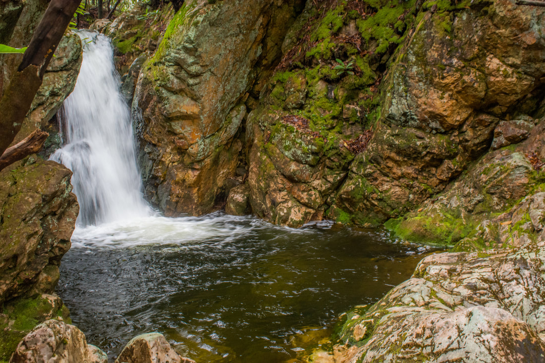
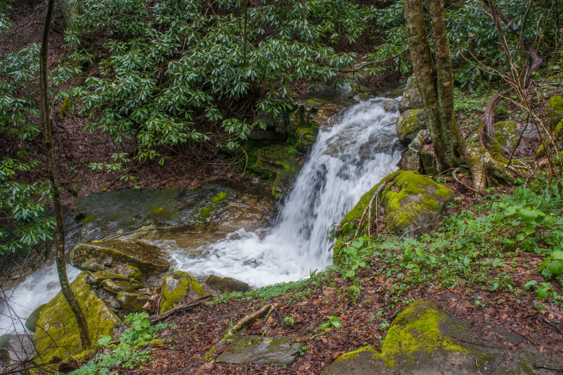
Situated in a dark, rocky grotto, 20-foot Lower Dick Creek Falls is the first waterfall on Dick Creek.
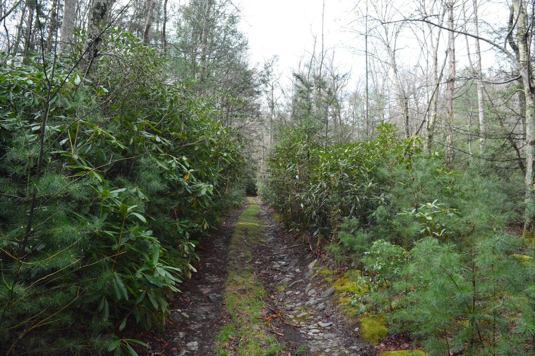
The side road, which I'll call the 'Dick Creek Path', begins an easy climb up the Dick Creek valley. Reach an obvious junction at 2.7 miles. The 150-foot side trail on the right leads to Lower Dick Creek Falls. The side trail passes through an area of campsites, and at the far end, a steep path leads to the base of the falls. The coordinates for Lower Dick Creek Falls are N36° 09.118' W82° 19.612'. Lower Dick Creek Falls is only 20 feet high, and it can be argued that this is the least scenic waterfall on the creek. Still, this is a beautiful spot. Dick Creek goes over a sheer drop into a small, dark pool surrounded by jagged, moss-covered rock outcrops. The creek continues to cascade over colorful rock and out of sight downstream. The bluffs around the falls give it a grotto feel.
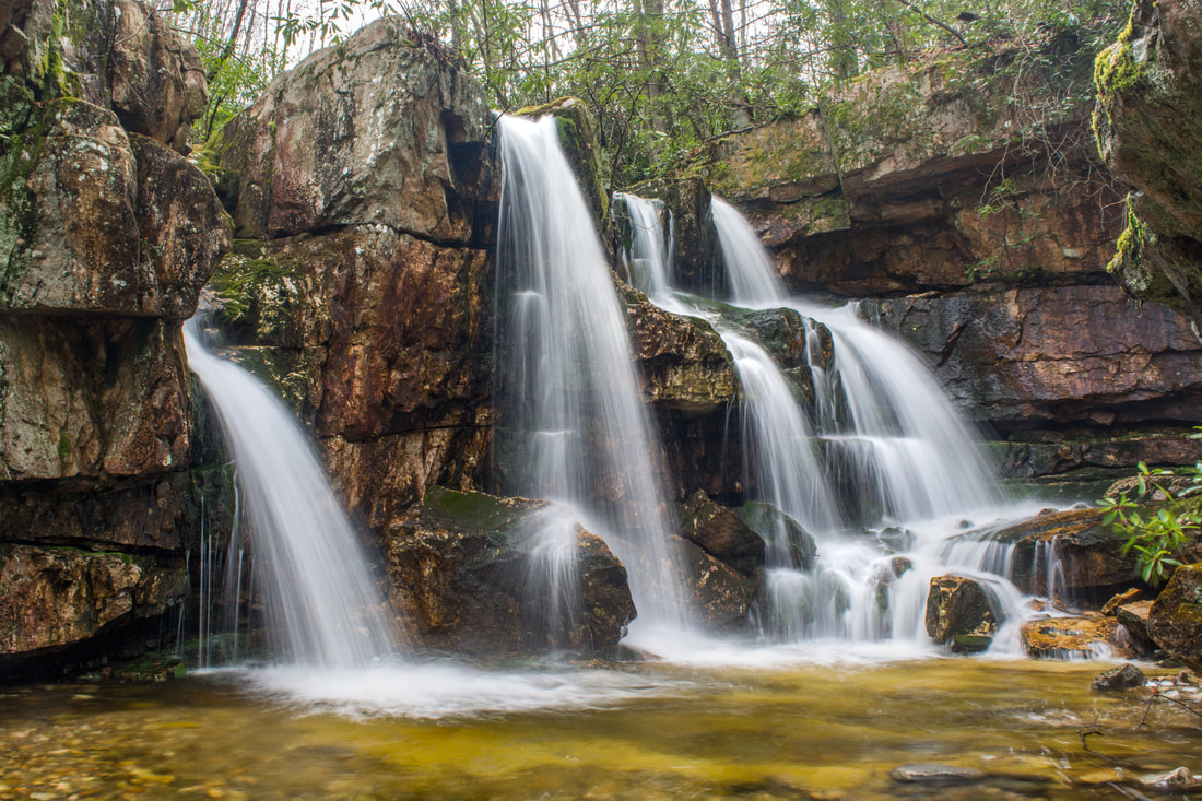
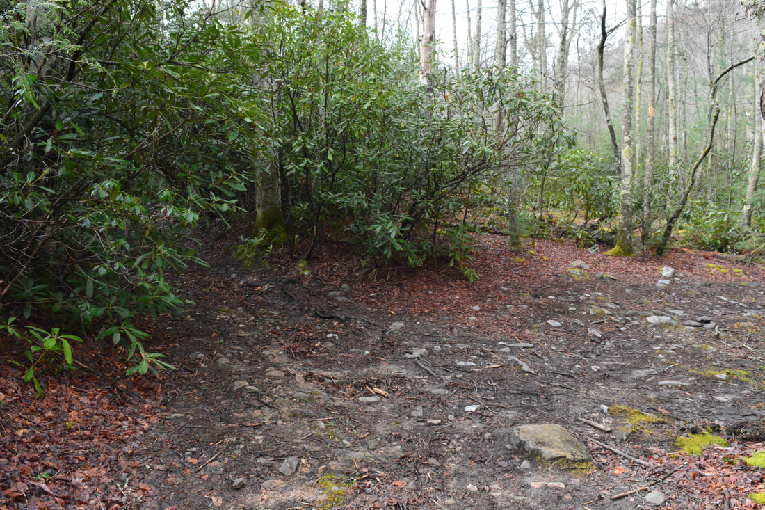
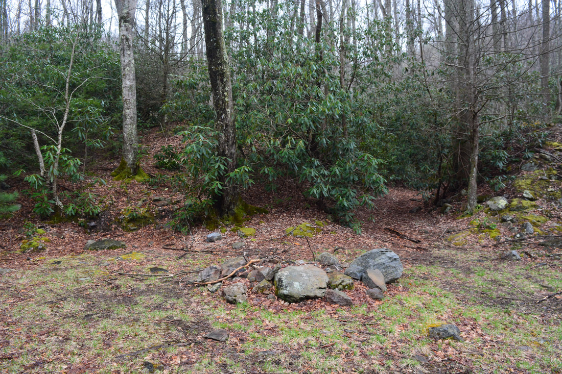
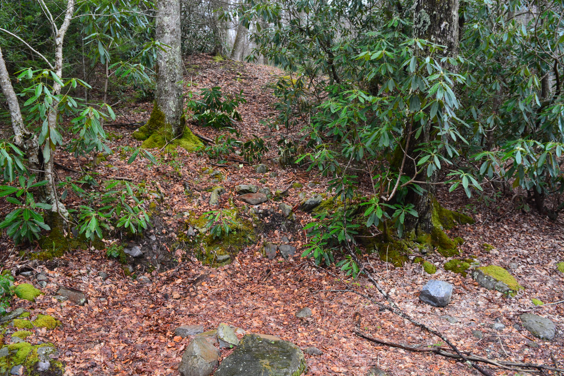
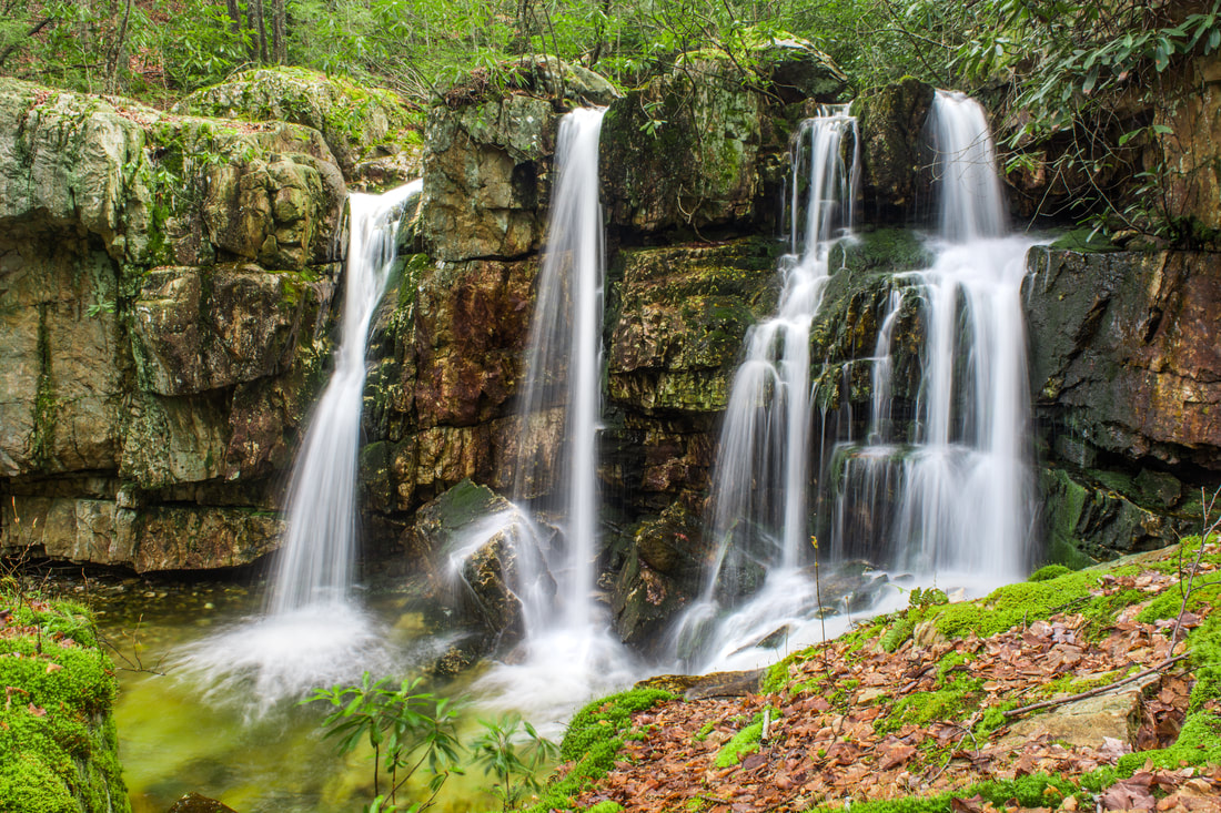
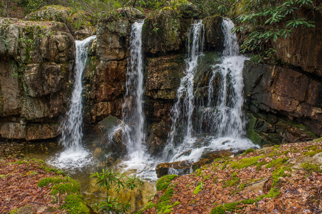
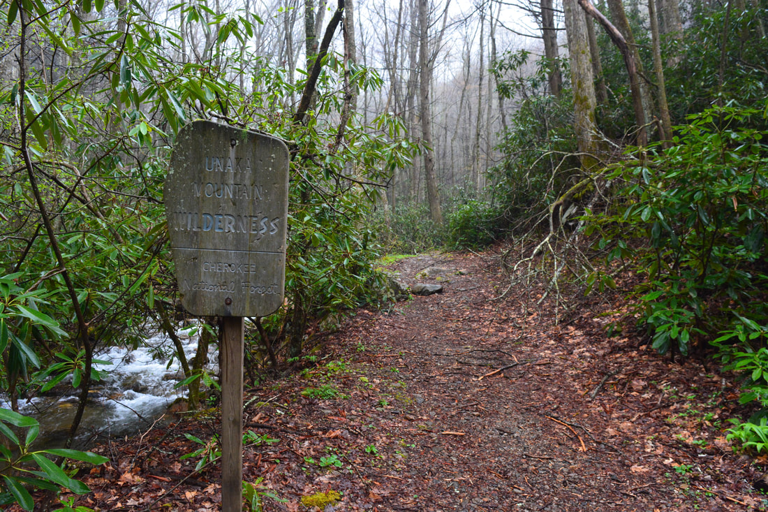
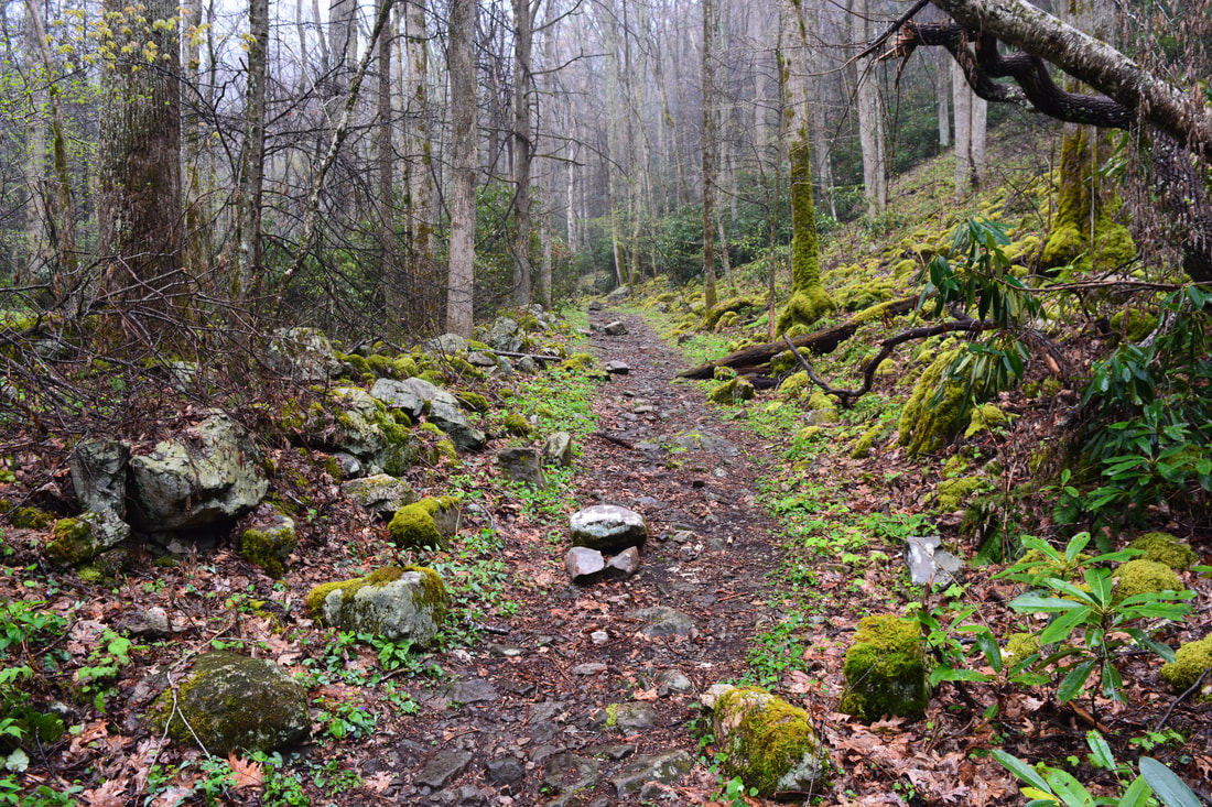
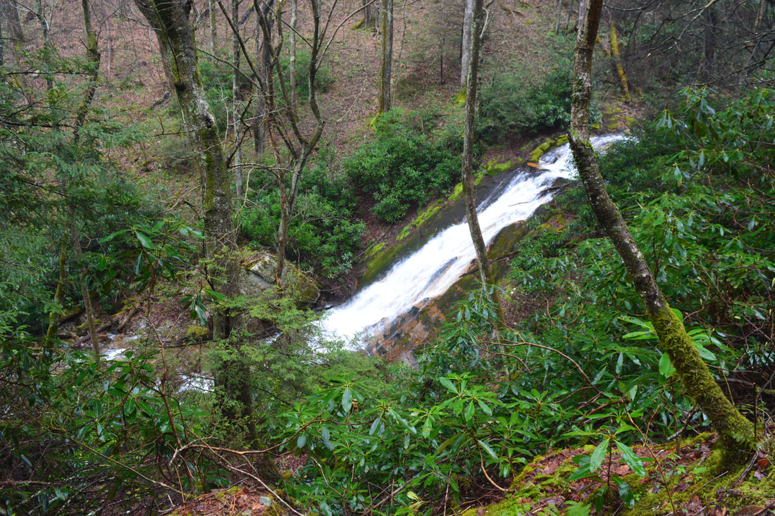
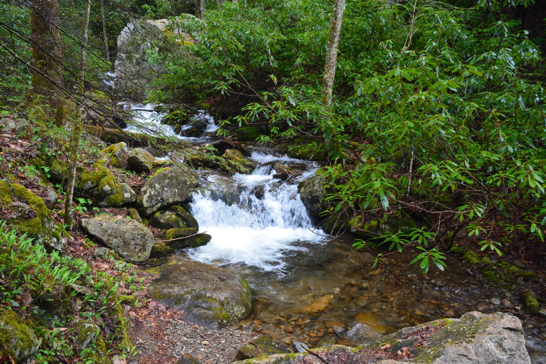
Return to the main trail and follow it into a large, grassy clearing at 2.9 miles, surrounded by campsites. The broad trail continues through and past the clearing. At 3.1 miles, the trail reaches a second crossing of Dick Creek just after it enters the Unaka Mountain Wilderness. Once again, this is likely to be a wade, but you might be able to stay dry on the large rocks to the right. On the other side, scramble up the bank and reach a small clearing with a campfire ring. Do not keep following the main road straight ahead here - it dead-ends shortly and you'll find yourself wandering around totally confused well above the creek! Instead, look for a very obscure path a bit to the left of the road that climbs the embankment above the campfire ring. From here on, the path to Upper Dick Creek Falls is a little disorienting. In general, try to follow the most obvious path, one that mostly stays within hearing distance of the creek. The path appears to have been marked by a number of rock cairns. Most of them were knocked down at the time of my visit, but they're still obvious if one pays attention. The woods are open everywhere, so as long as you head in the right direction (southeast) you really won't get lost - but the terrain is generally better closer to the creek. Also, keep in mind that you will need to turn left shortly after climbing the aforementioned embankment. Eventually, all of the different paths consolidate, and you'll find yourself climbing steeply to join an old logging road at 3.4 miles. Turn left; the rest of the route is obvious from here. At 3.5 miles, just as Upper Dick Creek Falls becomes visible through the trees in winter, an obvious scramble path leaves left to the base. The side path goes over a couple small ledges and through a mucky area along the base of a small cliff. The path arrives at Upper Dick Creek Falls at 3.55 miles. The coordinates for Upper Dick Creek Falls are N36° 08.688' W82° 19.259'. 25-foot Upper Dick Creek Falls is about as unique as waterfalls come. Dick Creek splits into four separate free-falling channels of flow at the falls! Each channel passes through a small cleft before bouncing off the rocks into a small pool at the base. A semicircular line of low cliffs stretches away from the falls, adding beauty to the setting. Not only is Upper Dick Creek Falls gorgeous, but it's also about as good as it gets photographically. The large rock directly opposite the falls provides a perfect elevated vantage point. In addition, it's easy to rock hop the creek below the falls for multiple downstream vantage points that look entirely different, as the multiple channels of flow appear to converge into one in a picture-perfect scene. It's truly tough to beat Upper Dick Creek Falls, although in my opinion, Upper Upper Dick Creek Falls (the next waterfall) deserves an equal beauty rating. 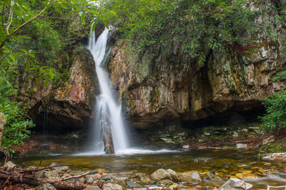
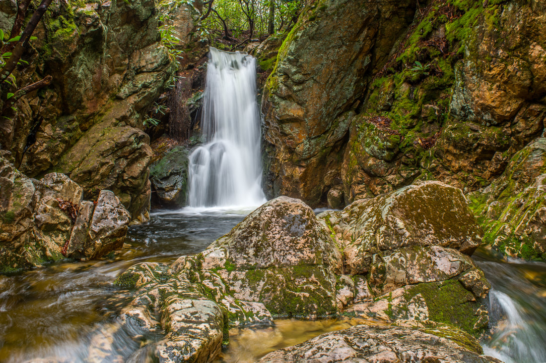
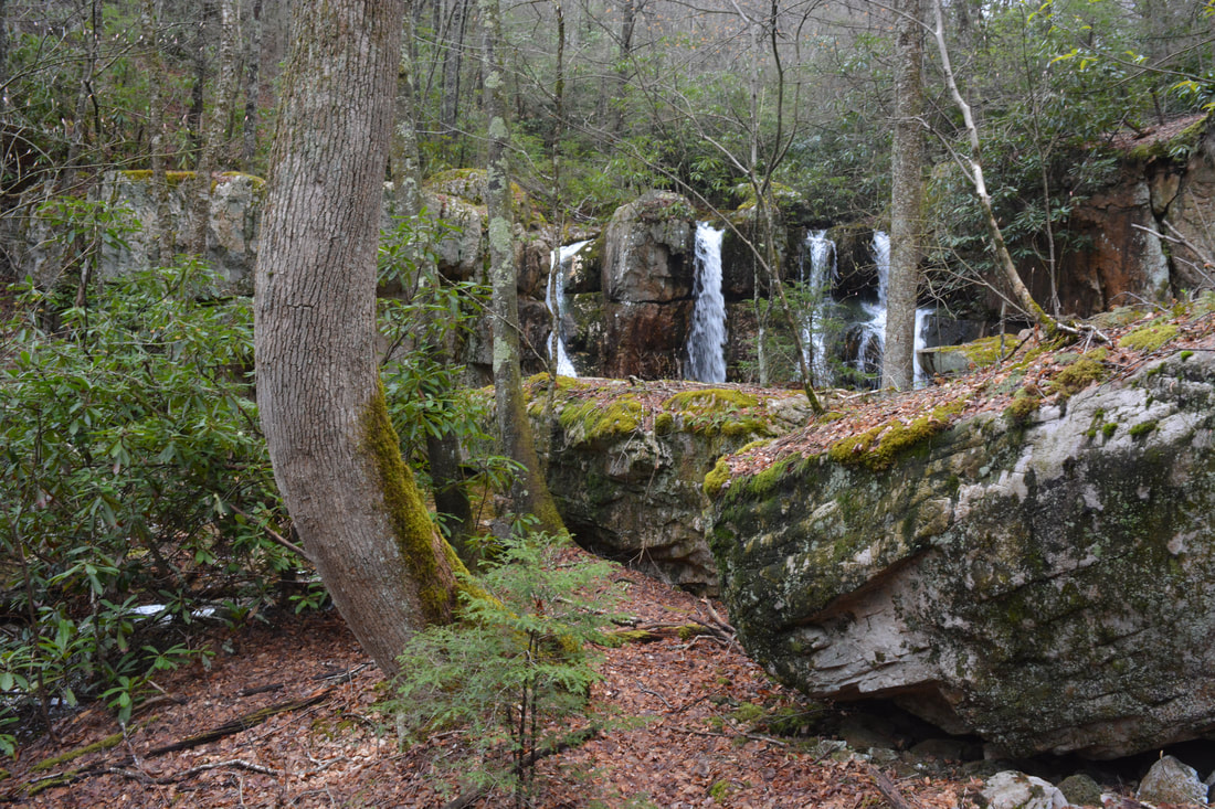
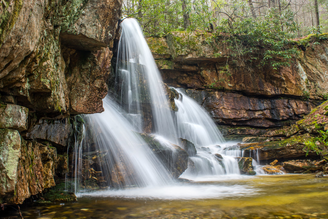
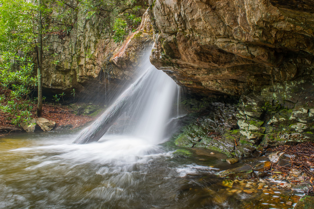
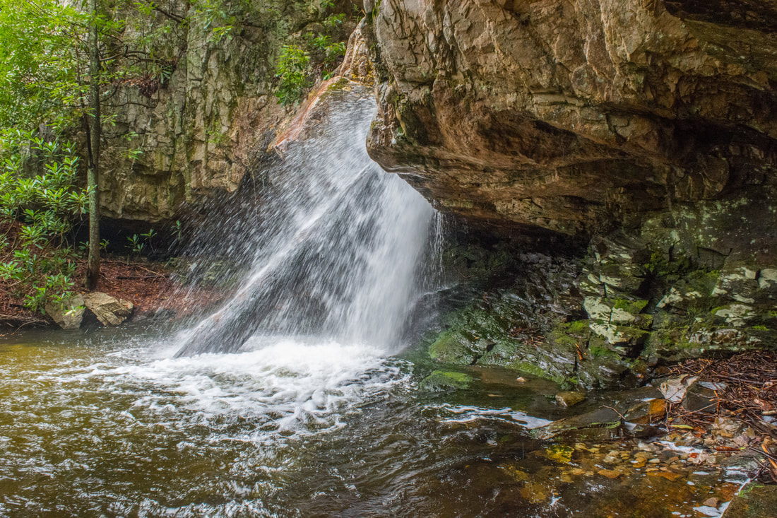
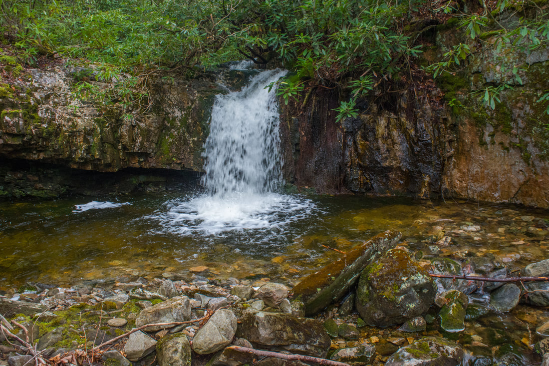
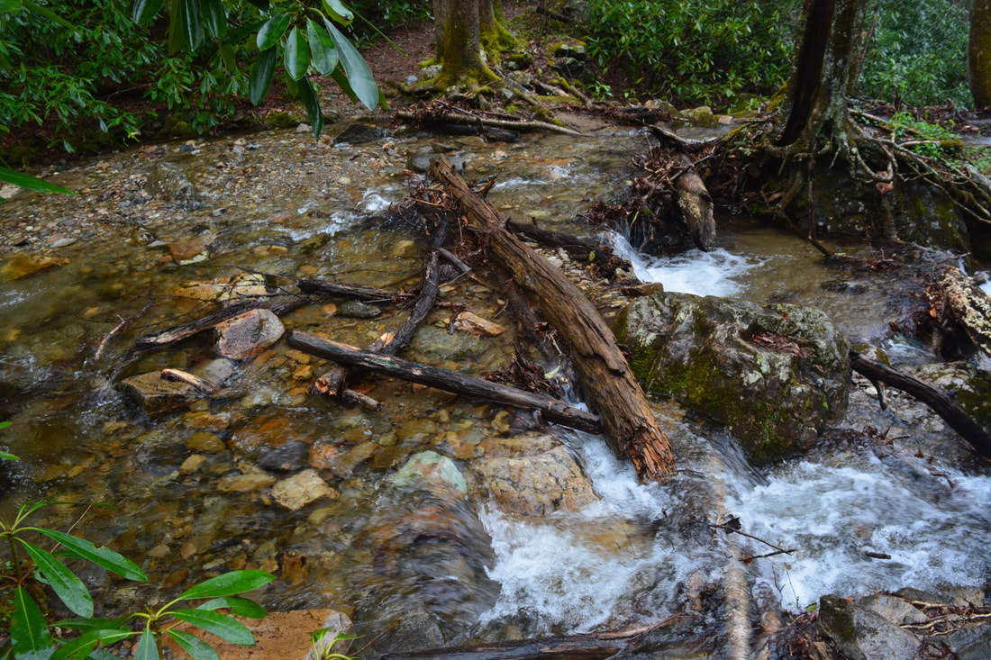
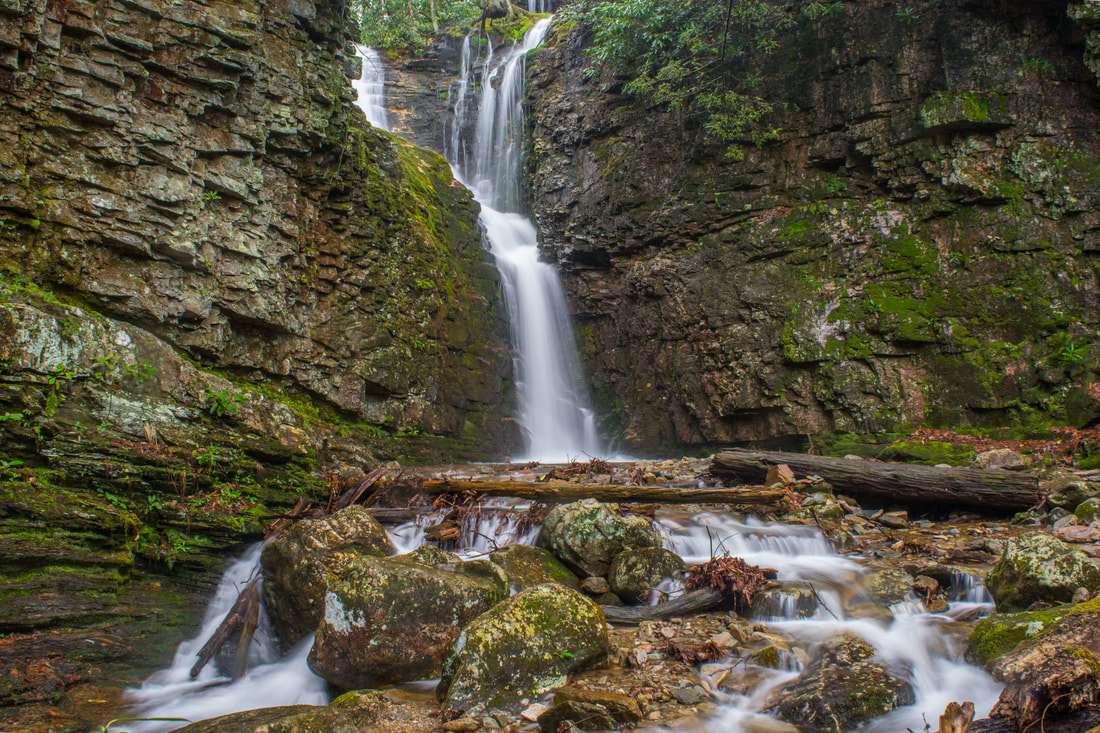
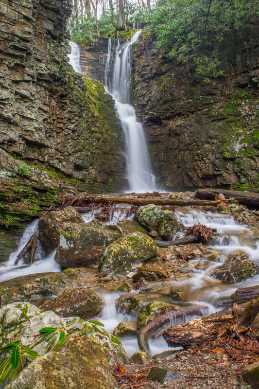
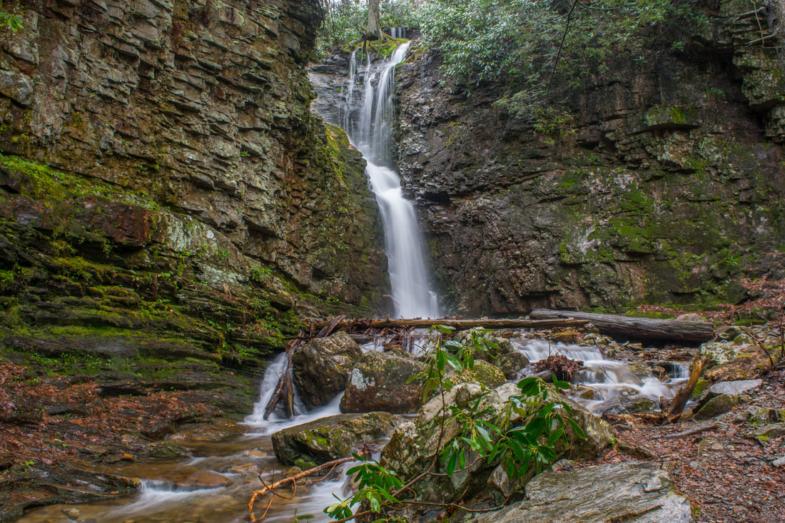
60-foot Upper Upper Dick Creek Falls is a terrific, powerful drop through a cleft in a massive cliff.
Return to the main trail and keep following it along the old logging road near the top of Upper Dick Creek Falls. That's where things get a little confusing again. Try to follow the obscure track along the same side of the creek for a little. The faint path crosses a small, mossy rock garden and then drops down to a third creek crossing halfway between the Upper and Upper Upper Falls. As with the other crossings, this is more likely to be a wade than a rock hop. The path becomes a little more obvious on the other side on its final approach to Upper Upper Dick Creek Falls. Even if you can't find the crossing, just follow the route of least resistance - the difficulty is similar on either side of the creek, and you're not going to run into anything impenetrable. Reach Upper Upper Dick Creek Falls at 3.75 miles. The coordinates for Upper Upper Dick Creek Falls are N36° 08.662' W82° 19.175'. While Upper Dick Creek Falls was a delicate, picturesque drop, Upper Upper Dick Creek Falls is an outstanding near-free-falling waterfall full of power. About 60 feet high, Upper Upper Dick Creek Falls crashes through a narrow cleft in a huge cliff line. A large, scenic log is positioned perfectly to split the flow near the base of the falls. In addition, a low rock overhang behind the falls affords neat side views of the falls. Although this waterfall's photographic potential isn't as great as that of Upper Dick Creek Falls, the sheer beauty and power more than make up for it. Both waterfall deserve perfect "10" ratings, in my opinion. Upper Upper Dick Creek Falls was discovered by renowned local waterfaller Larry Jarrett. However, he elected not to officially name it, so the naming convention for this waterfall and the one immediately upstream from it has become a little cloudy.
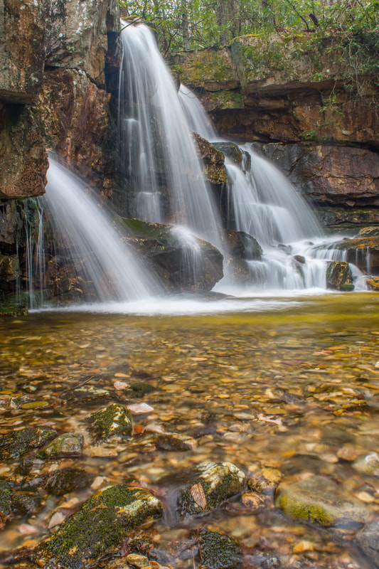
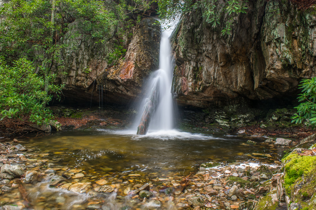
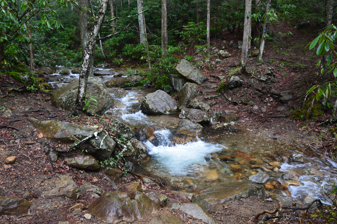
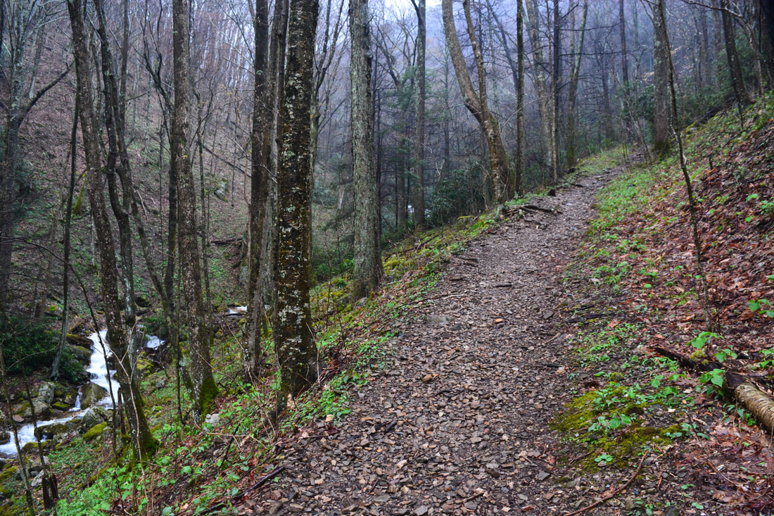
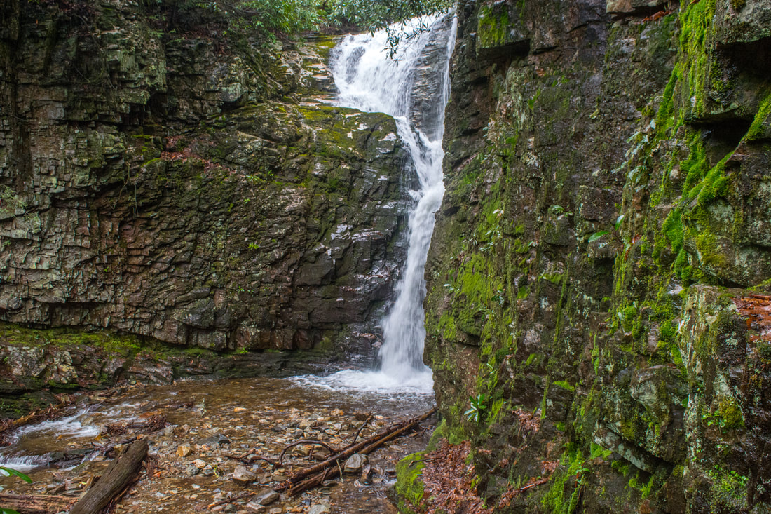
Upper Upper Upper Dick Creek Falls sits almost right at the top of the Upper Upper Falls. Without question, the best route between the two is on the north side of the creek (the River Right side), regardless of what you might hear (I have tested out both sides). The Upper Upper Upper Falls may not look very impressive on photos, and you might think it's not worth visiting. However, the access to it is pretty short, so as long as you can handle the scramble, it's definitely worth a quick look. The scramble involves climbing over a small stairstep ledge and then a very steep notch in a cliff on the north side of the Upper Upper Falls. The worn path is obvious, but the scrambling is harder than anything you've encountered so far. Still, for folks who are familiar with this kind of off-trail scrambling, it should be fairly easy. Once you're past the notch climb, the falls is just a few feet away. Reach Upper Upper Upper Dick Creek Falls at 3.85 miles. The coordinates for Upper Upper Upper Dick Creek Falls are N36° 08.672' W82° 19.142'. Upper Upper Upper Dick Creek Falls is a powerful 20-foot drop. The near-vertical drop has a graceful, picturesque shape. This is the uppermost worthwhile waterfall on Dick Creek. A small 5-foot cascade located about 250 feet above the Upper Upper Upper Falls is sometimes referred to as a waterfall. Even though it's a pretty scene (I marked it on the map and included a photo in the gallery below), it's clearly not a waterfall. In addition, a fifth waterfall is located somewhere in the headwaters of Dick Creek. I don't have much info about it, besides that it doesn't sound like it's worth the effort. No path of any kind leads above Upper Upper Upper Dick Creek Falls. Thus, simply retrace your steps along the Dick Creek Path, Dick Creek Trail/Road, and Rattlesnake Ridge Trail back toward the Rock Creek Recreation Area. You'll return to the junction with the Bicycle Trail at 6.7 miles. At this point, you've seen four awesome waterfalls, so it's fine to head home with a 7.5-mile hike under your belt. However, if you still have time and energy remaining, I highly recommend extending the hike to Rock Creek Falls. Thus, turn left toward Rock Creek Falls. At 6.8 miles, the Bicycle Trail crosses another wooden footbridge across Rock Creek and ends at the Rock Creek Falls Trail. Turn left on the dead-end trail toward Rock Creek Falls, shortly re-entering the Unaka Mountain Wilderness at a sign. The Rock Creek Falls Trail is an exceptionally scenic trail with numerous views of the creek's endless cascades. At 7.15 miles, the trail reaches the first of four crossings of Rock Creek. Rock Creek is slightly larger than Dick Creek, so keeping your feet dry will be even more of a challenge here during times of good flow. The falls had high flow and I still managed to keep my feet dry on all of the crossings thanks to various logs and rocks, but don't count on it. With that said, all of the wades should be easy. After the first crossing, a moderate 1000-foot ascent begins. Some sections of the trail are a little steep. But since the trail ascends that much, the creek must also drop that much, and that's what all the countless scenic cascades result from. 
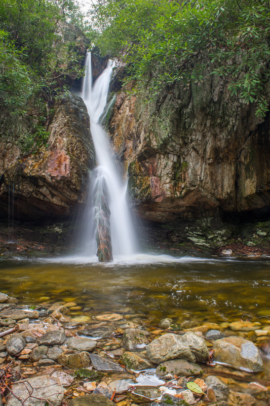
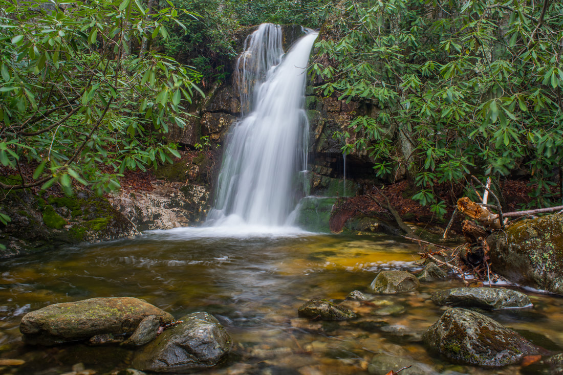
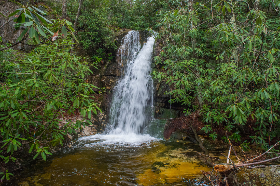
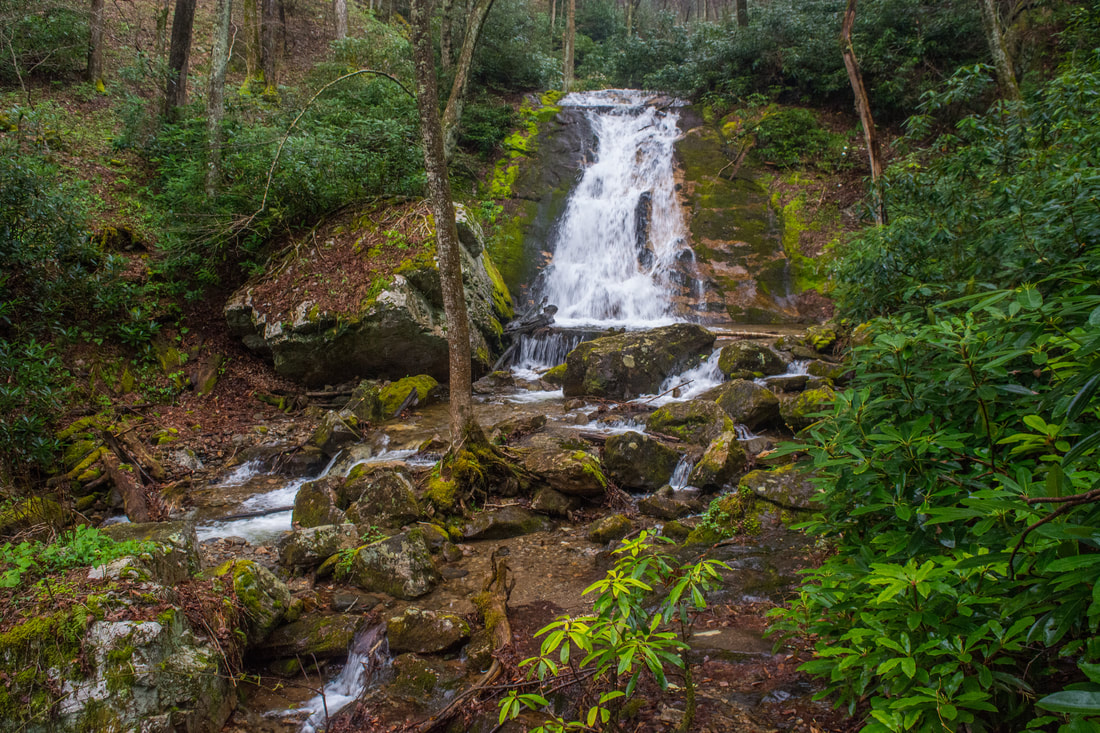
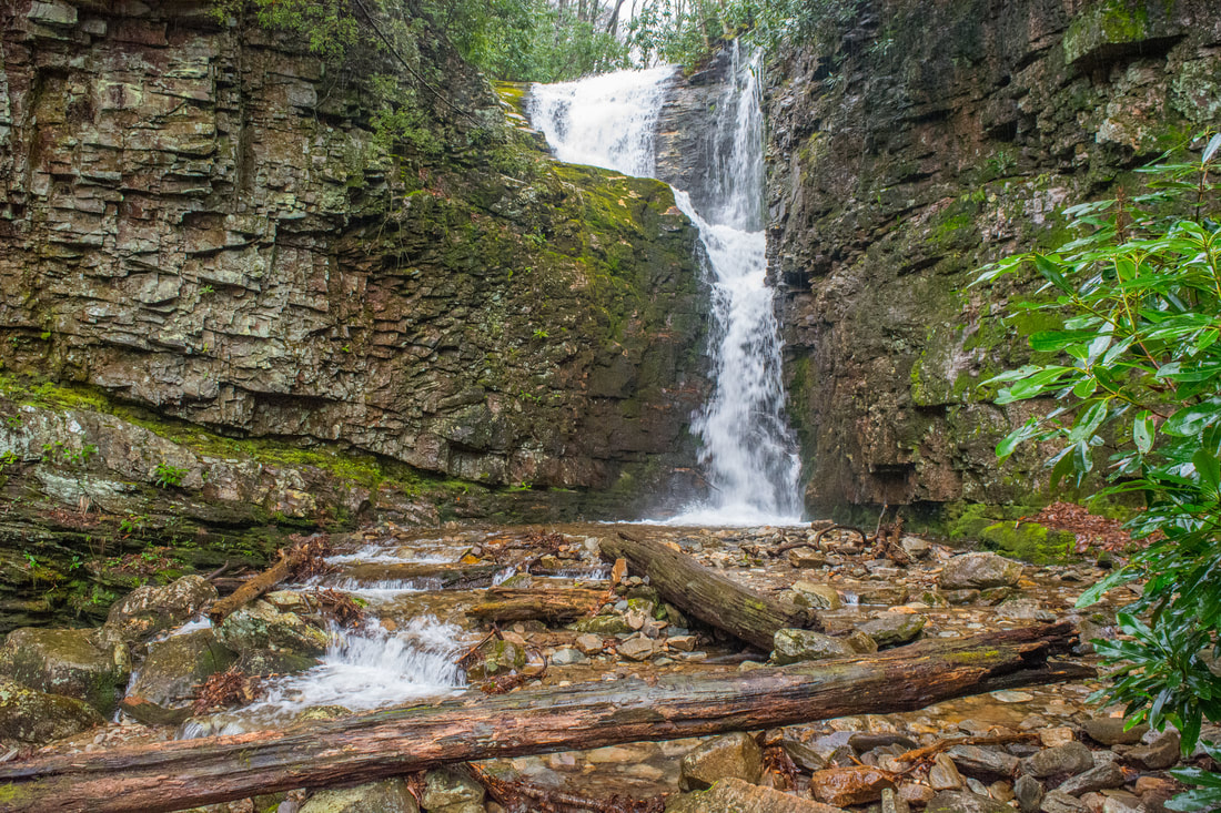
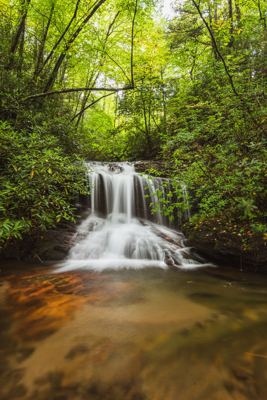
50-foot Rock Creek Falls is a spectacular waterfall nestled among huge jagged cliffs.
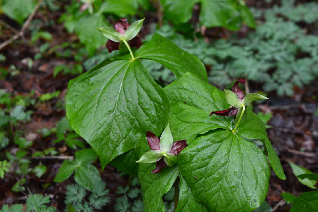
The second crossing occurs at 7.45 miles, followed by the third crossing at 7.75 miles. A steep section of trail leads to the fourth and final crossing at 8.05 miles. Portions of the trail can feature great spring wildflowers. At 8.2 miles, the trail passes above Lower Rock Creek Falls. A 150-foot side path descends steeply left to the base of this 30-foot sliding drop. The lower falls isn't very scenic, but it makes for a nice bonus to the main destination up ahead. At 8.3 miles, the trail passes above Middle Rock Creek Falls, a scenic 15-foot drop. I skipped it on this day due to time constraints, but the best way to reach it is to climb above Lower Rock Creek Falls and walk the creek to the Middle Falls. Regardless, the main trail finally reaches Rock Creek Falls at 8.45 miles, deep in the Unaka Mountain Wilderness. The coordinates for Rock Creek Falls are N36° 07.624' W82° 19.369'.
Rock Creek Falls is a spectacular double-tier 50-foot waterfall. Both sections are near-vertical drops. The upper section is partially hidden in the cliffs. The high cliffs around Rock Creek Falls makes this an incredible waterfall. Dark, jagged, moss-covered cliffs stretch away from the falls on both sides and shade the setting. This waterfall reminds me the lush, cliffy waterfalls of the Pacific Northwest more than any other waterfall I've seen so far in the Southeast. However, since Rock Creek Falls is pretty high up in the watershed, it needs a lot of flow to look good. I visited Rock Creek Falls after several hours of steady rain that started all the way back at Dick Creek, so the flow was above the average of winter and spring. In fact, I had not seen any other photo of the falls where the upper section featured a separate cascading flow channel on the right! Although I think the second and third waterfalls on Dick Creek still marginally beat Rock Creek Falls, partly due to their remoteness, Rock Creek Falls is an absolutely terrific destination - especially for folks who aren't quite adventurous enough to tackle Dick Creek. From Rock Creek Falls, simply retrace your steps back toward the Rock Creek Recreation Area. Instead of taking the Bicycle Trail, it's simpler to just follow the main Rock Creek Falls Trail on the way back. You'll return to the day use parking area at 10.9 miles, concluding the hike. Due to the variety of outstanding water features on this hike, including at least three top-notch waterfalls, I have decided to rate this hike a "Best Hike". It's tough to beat this hike if you're looking for a full-day hike with multiple spectacular waterfalls! Mileage
0.0 - Rock Creek Recreation Area
0.75 - Rattlesnake Ridge Split 1.5 - Dick Creek Gap 2.3 - Dick Creek 2.75 - Lower Dick Creek Falls 3.55 - Upper Dick Creek Falls 3.75 - Upper Upper Dick Creek Falls 3.85 - Upper Upper Upper Dick Creek Falls 6.8 - Rock Creek 8.2 - Lower Rock Creek Falls 8.45 - Rock Creek Falls 10.9 - Rock Creek Recreation Area Variations
Hike out and back to just Rock Creek Falls - 4.8 Miles
Hike out and back to just Lower Dick Creek Falls - 5.5 Miles Hike out and back to all of the waterfalls on Dick Creek - 7.5 Miles Bonus Stops
Just outside of Erwin is a nice waterfall with easy access: Martin Creek Falls. It can make for a nice add-on to the Dick Creek/Rock Creek hike, should you manage to have leftover time and energy.
Pictures & Videos
0 Comments
Leave a Reply. |
About MeMark Oleg Ozboyd Dear readers: I have invested a tremendous amount of time and effort in this website and the Georgia Waterfalls Database the past five years. All of the work that has gone in keeping these websites updated with my latest trip reports has almost been like a full-time job. This has not allowed me to pick up a paid job to save up money for college, and therefore, I I've had to take out loans. If you find the information on this website interesting, helpful, or time-saving, you can say "thanks" and help me out by clicking the button above and making a contribution. I will be very grateful for any amount of support you give, as all of it will apply toward my college tuition. Thank you!

Coming in 2022-2023?
Other Hiking WebsitesMiles HikedYear 1: 540.0 Miles
Year 2: 552.3 Miles Year 3: 518.4 Miles Year 4: 482.4 Miles Year 5: 259.9 Miles Archives
March 2021
Categories
All
|
||


 RSS Feed