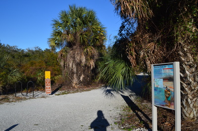
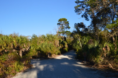
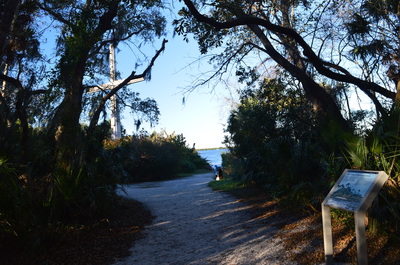
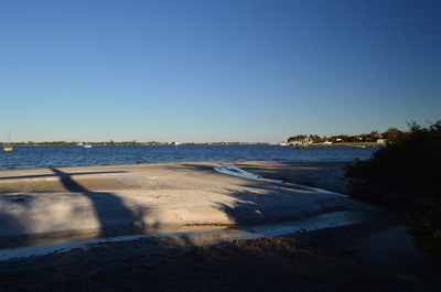
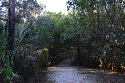
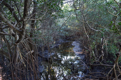
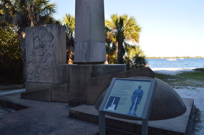
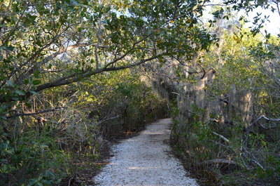
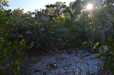
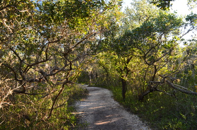
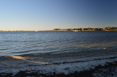
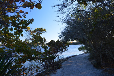
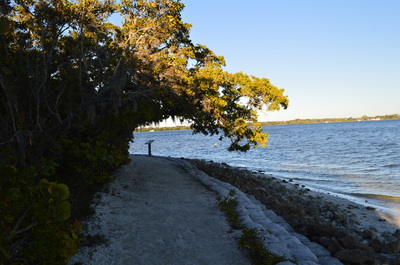
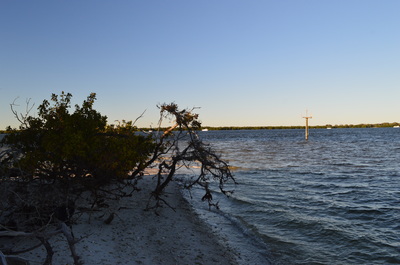
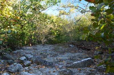
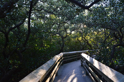
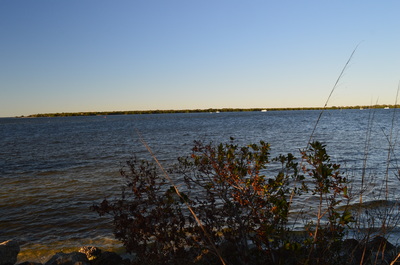
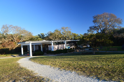
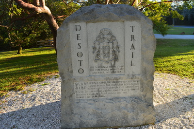
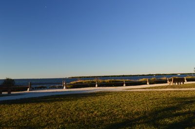
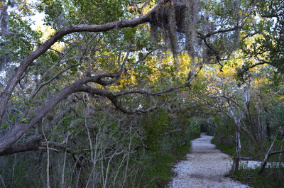
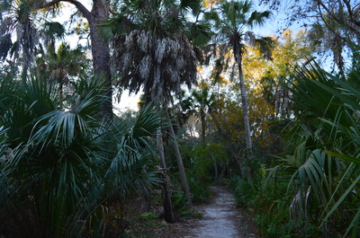
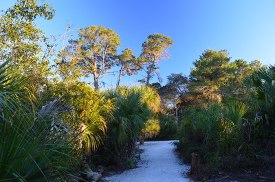
De Soto National Memorial: De Soto Expedition Trail and Riverview Pointe Trail, Bradenton, Florida4/11/2016 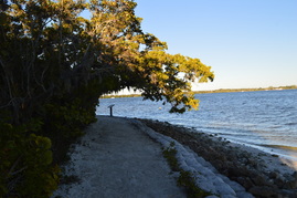 In 1539, Hernando de Soto reached the US and landed approximately 5 miles west of Bradenton. It was the start of the first major, organized exploration by the Europeans of the southern United States. Today, a small tract of public land called the Fort De Soto National Memorial marks the location of the landing. This small national preserve has a lot to offer on its nature trail, including a mangrove swamp, a homestead, and views of the Manatee River. Additionally, you can extend your hike into nearby Riverview Pointe Preserve for some hiking in the uplands farther from the shoreline. This hike occurred on Friday, February 5th, 2016. My plan was to start my hike at Riverview Pointe Preserve. I would hike down the nature trail to Fort De Soto National Memorial, from where I would hike the Memorial Trail. to Desoto Point and then to De Soto Monument. I would retrace my steps back to Riverview Pointe Preserve the same way, but I would use a connector to shortcut some of the trail on the return trip. SummaryR/T Length of Trail: 1.6 Miles Duration of Hike: 1:00 Type of Hike: Out and Back (Loop Options) Difficulty Rating: 1 out of 10 Total Elevation Gain: Minimal Pros: This trail is good for morning exercise or for walking your dog as it is in the middle of a residential area west of Bradenton Cons: The area around the De Soto Monument gets crowded Points of Interest: Memorial Cross and Holy Eucharist Monument in Riverview Pointe Preserve; Desoto Point; Tabby House Ruins; De Soto Monument Trail Blaze Color(s): None Best Season(s) to Hike: Year-round Fees: None Beginning Point: Riverview Pointe Trailhead Directions: From Bradenton, FL: Follow FL State Route 64 (Manatee Avenue) West out of Bradenton for 3.7 miles. Then, turn right onto 75th Street. Follow 75th Street for 2 miles until you reach the parking area for Riverview Pointe Preserve on the right. Just ahead is the end of 75th Street at Fort De Soto National Memorial. MapA map and some other information regarding this hike can be viewed here. DetailsOn each of my trips to the Bradenton/Sarasota area, I've been seeking to hike in at least one of the many preserves that can be found in Manatee County and Sarasota County. Most of these preserves have great water views and hikes through coastal ecosystems. The hike at Fort De Soto National Memorial is no exception. You will get to hike along the Manatee River close to where the river spills into Tampa Bay. While most people would start at Fort De Soto National Memorial, I decided to start at Riverview Pointe Preserve instead, to avoid the early closing time at Fort De Soto National Memorial. The hike begins on a wide pathway in dry uplands. At 0.05 miles, a path exits to the left, The path is one of several paths that wind through the small Riverview Pointe Preserve. Continue straight on the main path. Descend a little bit, and at 0.15 miles, curve left and reach the Memorial Cross. Just to the right of the cross is your first view of the Manatee River at a sort of beach area. Continue beyond, cross a footbridge over a slough in the mangroves, and reach the Holy Eucharist Monument at 0.2 miles. Both the Holy Eucharist Monument and the Memorial Cross are owned by the Catholic Diocese in Venice, Florida. The Memorial Cross and the Monument were placed here dedicated to the twelve priests and friars who accompanied De Soto in his expedition here. Continue on the wide trail as you leave Riverview Pointe Preserve and enter Fort De Soto National Memorial. At 0.25 miles, you will see a shell midden to the left. This shell midden is a remnant of the Native Americans that lived here many hundreds of years ago. At 0.4 miles, the trail makes a sharp left turn, with the Manatee River to the right. There is a Fort De Soto National Memorial sign here. Right afterwards, you reach an intersection. Straight is a connector that shortcuts the section of trail that leads to De Soto Point. you can use the connector trail on your way back. For now, turn right to hike the full trail. The trail will hug the Manatee River shoreline, and there will be frequent views of the river east towards Bradenton. The Bradenton skyline and the 8th Avenue bridge across the river will be visible. At 0.55 miles, reach De Soto Point. Desoto Point is a spit of land that extends into the Manatee River, forming a small bay to the right. To the left of the spit, the river shortly spills out into Tampa Bay. From Desoto Point, the trail turns sharply left and follows the shoreline of Manatee River. Tampa Bay is visible in the distance, while Snead Island and Emerson Point Preserve are straight across the river. Just a little bit farther down the trail, I saw a strange sight - an apparently abandoned boat that was stuck near the shoreline. My guess is that may have broken away from someone's dock... At 0.65 miles reach the Tabby House Ruins to your left on a short spur trail. It seems like the house was originally constructed by William H. Shaw in 1843. Continue on the main trail from the house ruins and reach a boardwalk that carries you across a mangrove marsh. At 0.75 miles, reach a junction with the other end of the connector trail. For now, turn right onto a wide shell path and approach the Manatee River again, its waters intermingled with those of Tampa Bay. At 1 mile, reach the Visitor Center area. There is an observation area with a view of Tampa Bay. The De Soto Monument is here, placed as a commemoration to De Soto and his crew who landed onshore approximately at this point in 1539. Just to the right of the turnaround, there is also a replica of the Spanish camp that was once here. From the Fort De Soto Memorial area, retrace your steps back to Riverview Pointe Preserve. Use the connector to shortcut your way. The shortcut is only 0.05 miles long, and it shortens the route by about 0.3 miles. At the Memorial Cross in Riverview Pointe Preserve at 1.3 miles, I decided to take a slightly different route. I took the path that went to the right of the main trail. This path soon entered dense forest full of palm trees. At 1.35 miles, bear right at an intersection of unmarked paths. At 1.45 miles, turn left to return to the Riverview Pointe Trailhead. The path to the right heads back to Fort De Soto National Memorial. Once you turn left, you will return to the main trail at 1.55 miles, and after turning right, you will reach the trailhead parking at 1.6 miles. While the extension on the way back through Riverview Pointe Preserve is optional, I found it worth it, as it passed through an ecosystem that was slightly different from the other ecosystems on this hike. Mileage0.0 - Riverview Pointe Trailhead 0.15 - Memorial Cross 0.2 - Holy Eucharist Monument 0.25 - Shell midden to left 0.4 - Connector straight, turn right 0.55 - De Soto Point 0.65 - Tabby House Ruins to left 0.75 - Connector to left, turn right to continue on main trail 1.0 - Fort De Soto Memorial and Visitor Center area, turnaround point 1.3 - Return to Memorial Cross via connector, bear right onto alternate trail 1.35 - Bear right 1.45 - Turn left 1.55 - Turn right back onto main trail 1.6 - Riverview Pointe Trailhead VariationsYou can avoid the connector and retrace your steps using the full trail. Bonus StopsCheck out nearby Robinson Preserve and Neal Preserve. Both places have excellent nature trails in ecosystems similar to those at Fort De Soto National Memorial. PicturesVideos
0 Comments
Leave a Reply. |
About MeMark Oleg Ozboyd Dear readers: I have invested a tremendous amount of time and effort in this website and the Georgia Waterfalls Database the past five years. All of the work that has gone in keeping these websites updated with my latest trip reports has almost been like a full-time job. This has not allowed me to pick up a paid job to save up money for college, and therefore, I I've had to take out loans. If you find the information on this website interesting, helpful, or time-saving, you can say "thanks" and help me out by clicking the button above and making a contribution. I will be very grateful for any amount of support you give, as all of it will apply toward my college tuition. Thank you!
Coming in 2022-2023?
Other Hiking WebsitesMiles HikedYear 1: 540.0 Miles
Year 2: 552.3 Miles Year 3: 518.4 Miles Year 4: 482.4 Miles Year 5: 259.9 Miles Archives
March 2021
Categories
All
|




 RSS Feed