The beauty of the Conasauga River's rushing waters attracts many hikers and campers to the west side of the Cohutta Wilderness. Every single trail in this part of the wilderness crosses and follows the Conasauga at some point, but no other trail is as notable as the Conasauga River Trail. This trail follows its namesake river for nearly a dozen miles, as it gradually grows from a small rivulet at the headwaters area near Betty Gap to a wide boulder-strewn river lined by cliffs and full of swift rapids below the confluences of Rough Creek, Thomas Creek, and Hickory Creek. A whopping 38 fords of the Conasauga River - some of which are up to waist-deep - make this a fairly challenging aqua-hike, but those who choose to shuttle the full trail will be rewarded by countless scenic cascades and small waterfalls. An out-and-back hike from either end of the trail is worthwhile as well, as beautiful water features are scattered evenly throughout the river. This hike occurred on Saturday, September 2nd, 2017. My plan was to hike the Conasauga River Trail from its southern trailhead at Betty Gap on FS 64 to its northern trailhead at FS 17B. I arranged to have two cars for this point-to-point hike: one at FS 64 and the other at FS 17B.
Summary
R/T Length of Trail: 13.1 Miles
Duration of Hike: 9:30 Type of Hike: Point-to-Point (two cars required) Difficulty Rating: 7 out of 10 Total Elevation Gain: 1640 Feet Pros: Relatively little uphill for such a long trail with only one extended ascent Cons: The constant river fords lead to a slow hike, and the trail could be dangerous during times of very high flow Points of Interest: Series of small waterfalls on Birch Creek; Small waterfall on Conasauga River at Ford #2 near Chestnut Lead Junction; Small waterfall on Conasauga River at Ford #20 before Rough Creek confluence; Cascades at Thomas Creek confluence; Historic rock wall from the old railroad bed at Ford #37; Numerous other cascades on the Conasauga River Trail Blaze Colors: Conasauga River Trail - None, except blue blazes only at river fords Best Seasons to Hike: Summer Fees: None Beginning Point: Betty Gap Trailhead Directions from Ellijay, GA to FS 17B Trailhead: From the roundabout in downtown Ellijay, follow North Dalton Street (GA 52/2 West) for 5.2 miles. Then, turn right onto Gates Chapel Road. In 5.3 miles, bear right onto FS 90 (Wilderness Road). In another 1.6 miles, turn right onto FS 68 (Potato Patch Road). This road, along with parts of FS 64 and FS 17 used to access the trailheads, is closed seasonally from January 4th to Mid-March. Follow FS 68 for 3.2 miles, and then, turn left onto FS 64. Continue on FS 64 for 3.9 miles, and then, turn right onto FS 17 (West Cowpen Road). Follow FS 17 for 7.2 miles to the intersection with FS 17B, making sure to stay straight at the large turnaround area where FS 630 (Mill Creek Road) leaves left. The section of FS 17 between FS 630 and FS 17B has a couple slightly rough rocky spots. These spots are probably passable by most passenger vehicles if care is taken, but a bit of clearance could benefit. Finally, turn right onto FS 17B and follow it for 0.2 miles to the parking area on the left for the Conasauga River Trail. Directions from FS 17B Trailhead to Betty Gap Trailhead: Return to FS 17, turn left, and follow it back once again for 7.2 miles. Then, turn left onto FS 64 again and follow it for 3.9 miles to the FS 68 intersection. This time though, continue straight (staying on FS 64). You'll reach Betty Gap in 1.3 miles. The parking area will be on the left. Keep in mind that these forest roads are slow, and the drive between the two trailheads will take between 45 minutes and an hour. Map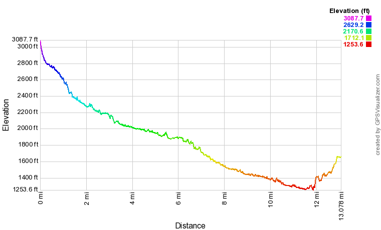
Click the link below to download a .GPX file with a track of this hike.
Details
The Conasauga River Trail had been on my list for a very long time. I had heard a lot about its beautiful cascades and small waterfalls, and a trail with 38 river fords - many of them challenging - sounded quite exciting. The main issue was that I wanted to hike the full trail and see as much of the river as possible, and I needed two cars for that. I finally got the chance to arrange a shuttle hike on Labor Day Weekend 2017. And I wasn't disappointed at all. While I have not hiked the full length of the Jacks River yet, the parts of the Jacks River I've seen appear to be less scenic than the Conasauga River - with the exception of the spectacular Jacks River Falls, of course. If you have ever have the chance to hike the full Conasauga River Trail, absolutely do it. It would be perfect for a one-night backpack too, as there are numerous great campsites in the vicinity of Bray Field.
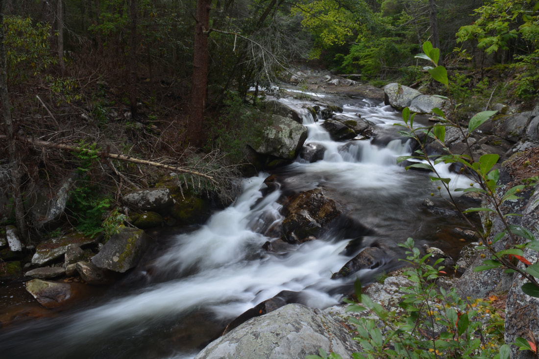
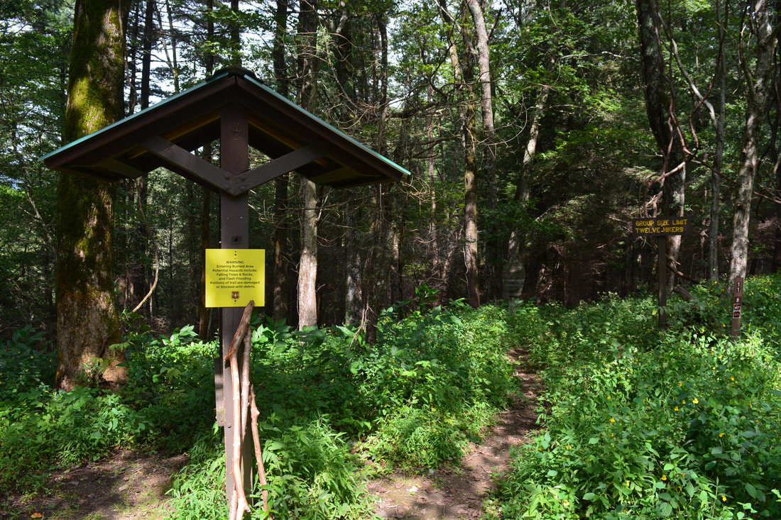
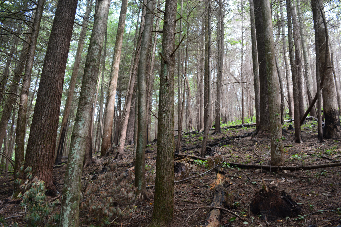
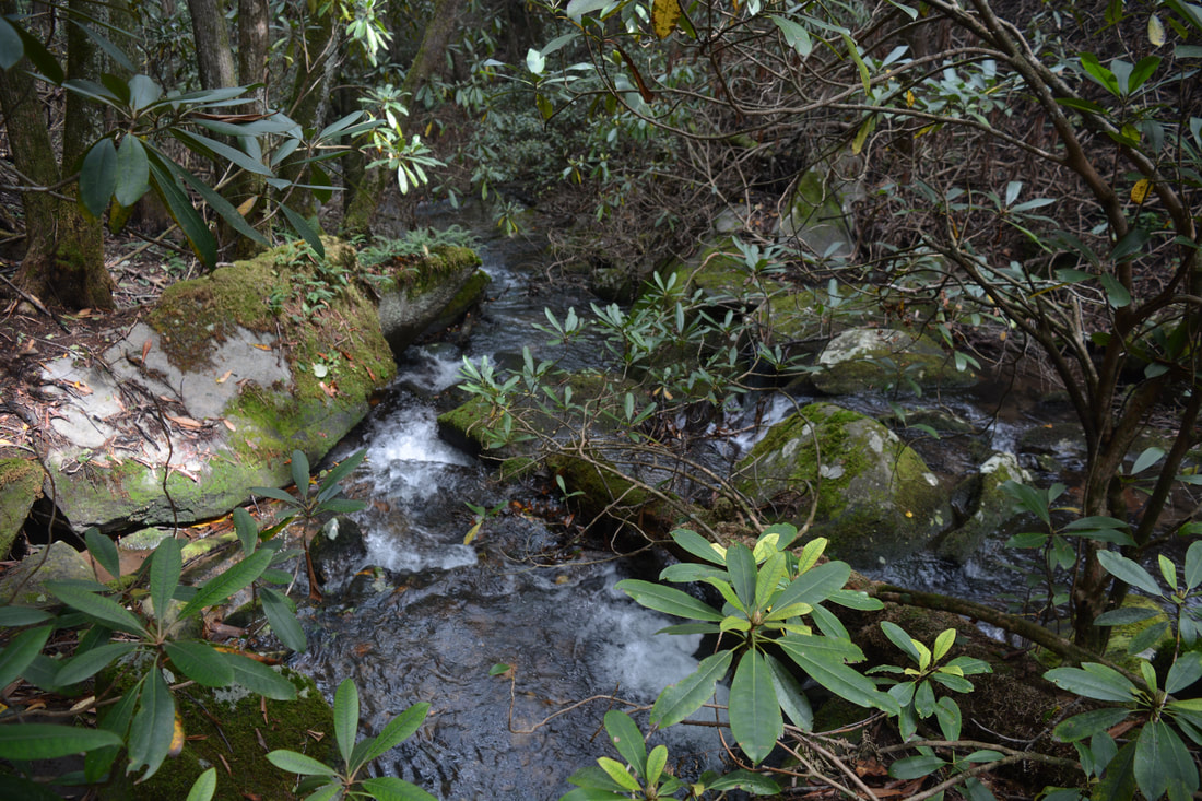
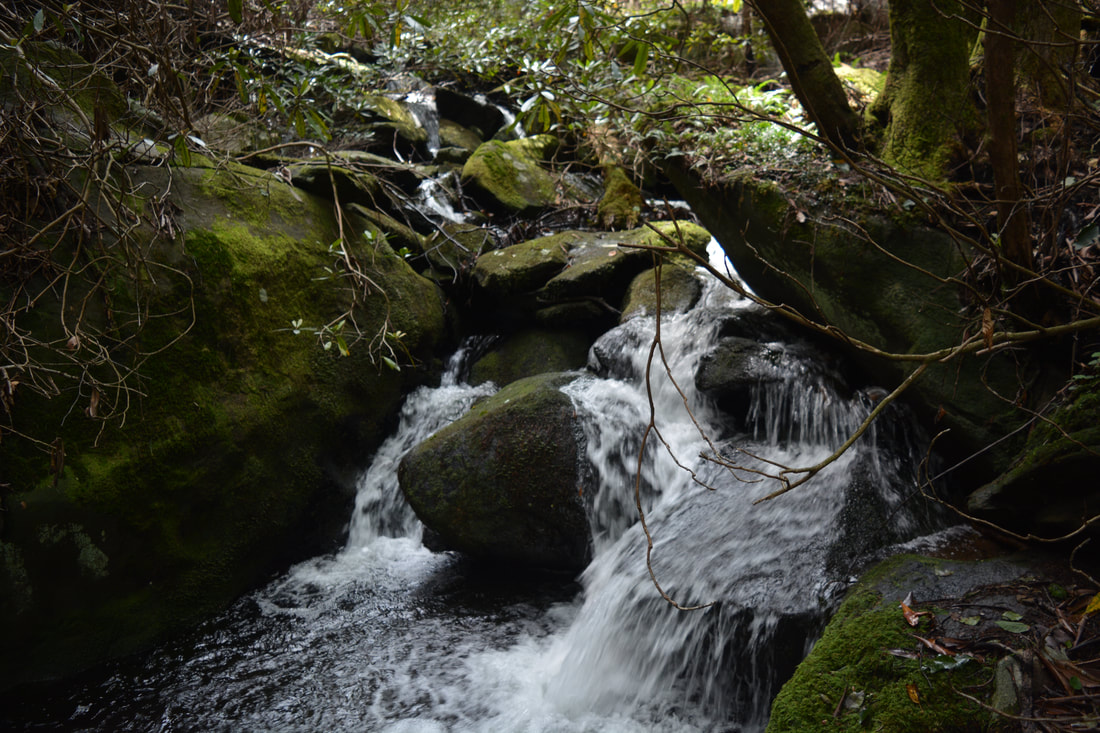
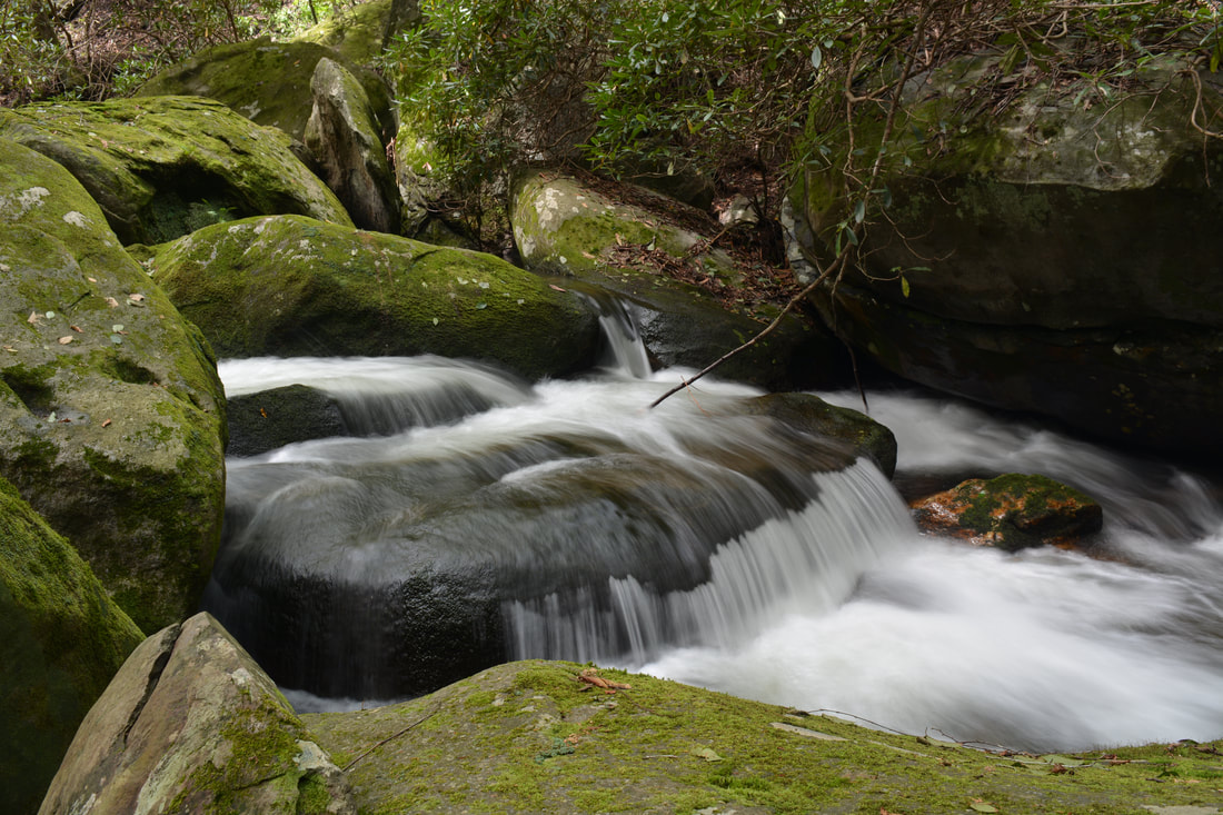
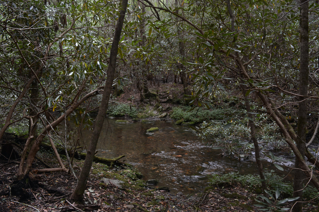
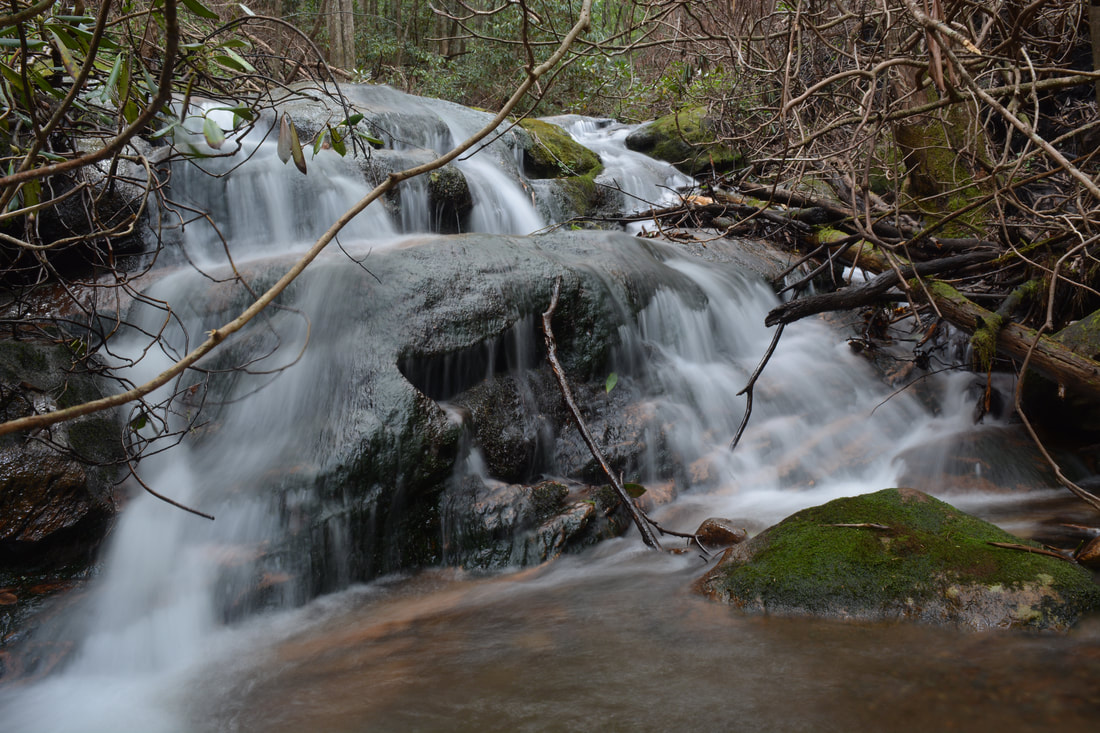
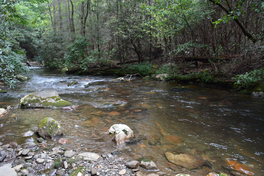
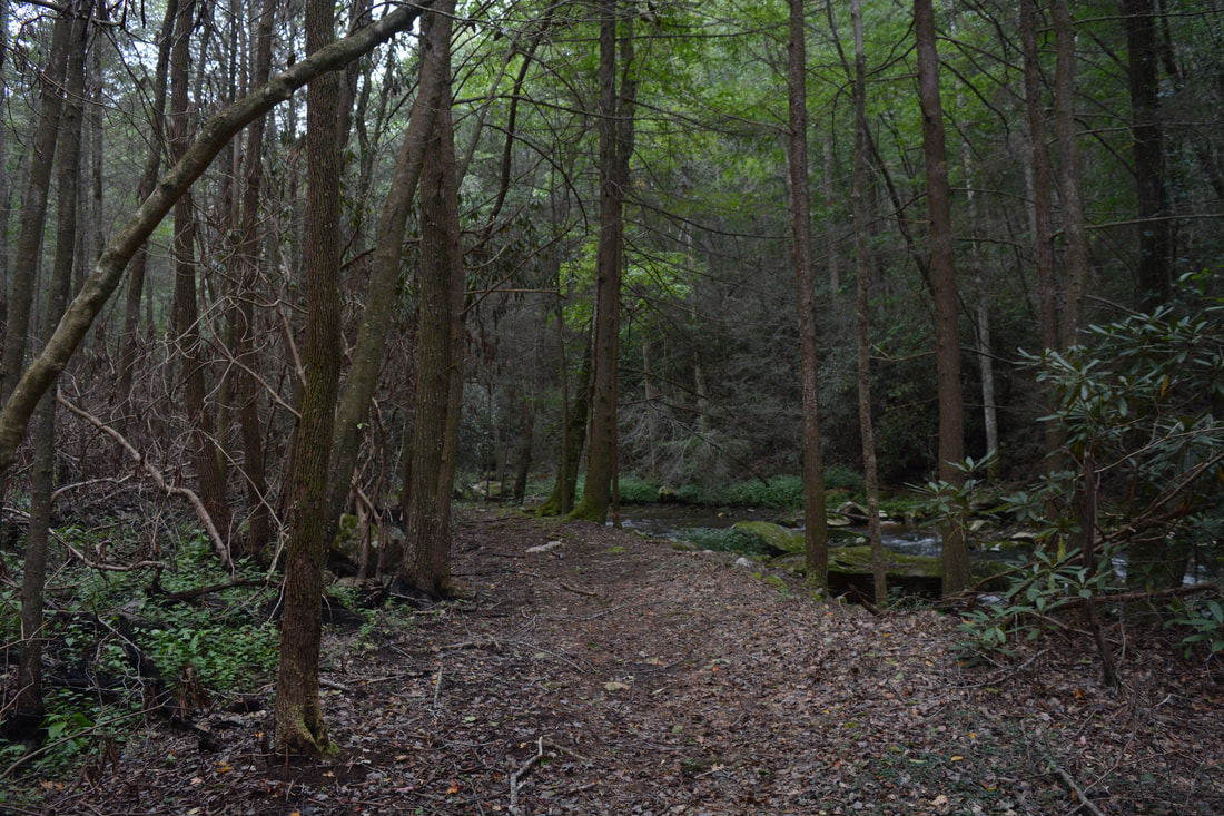
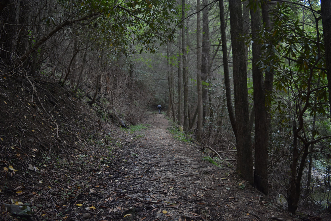
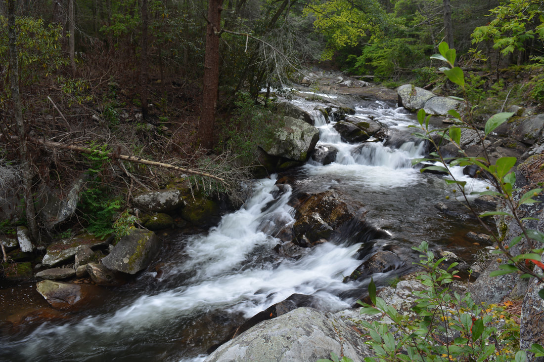
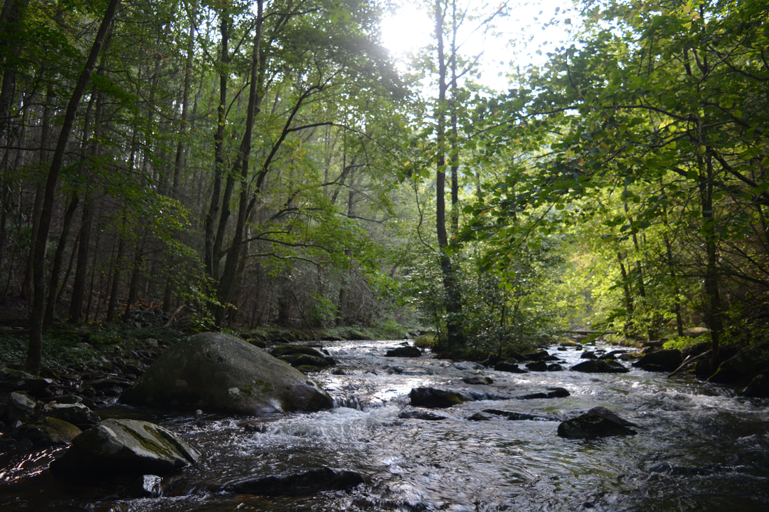
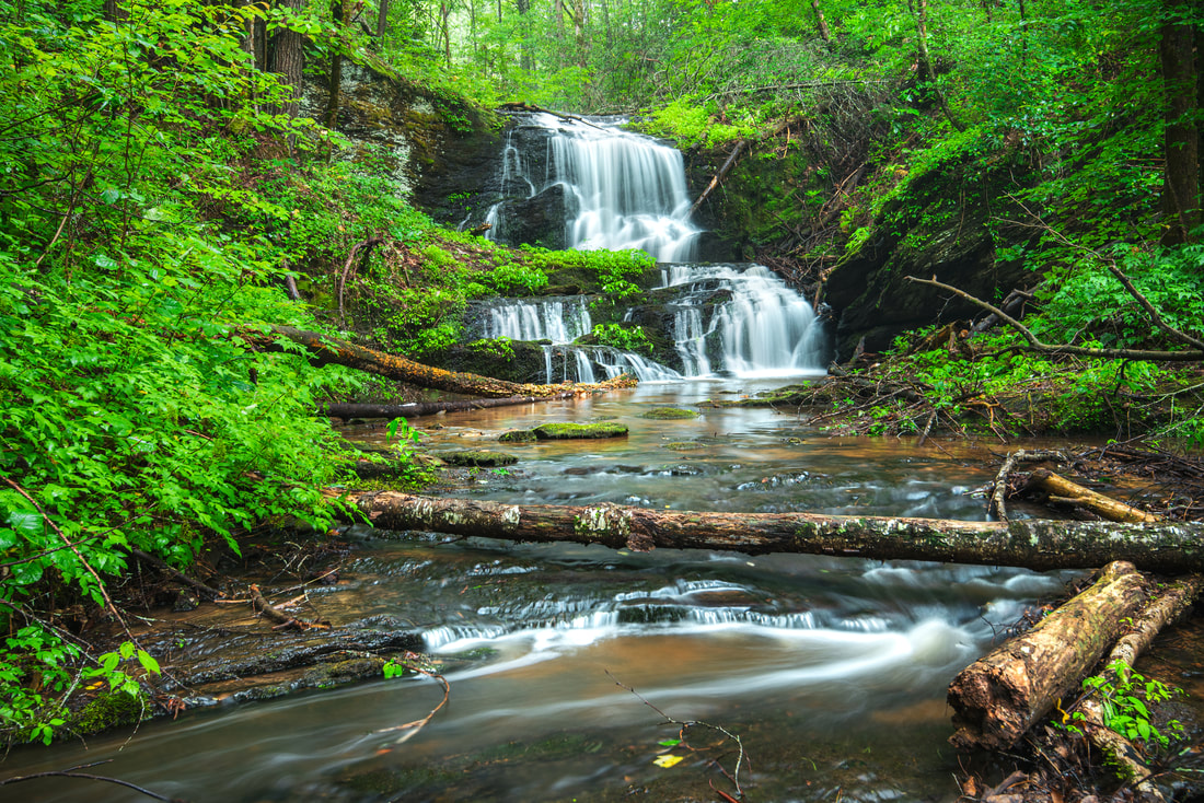
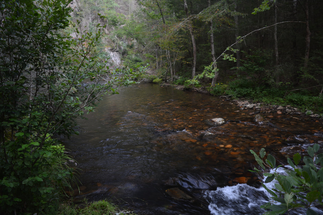
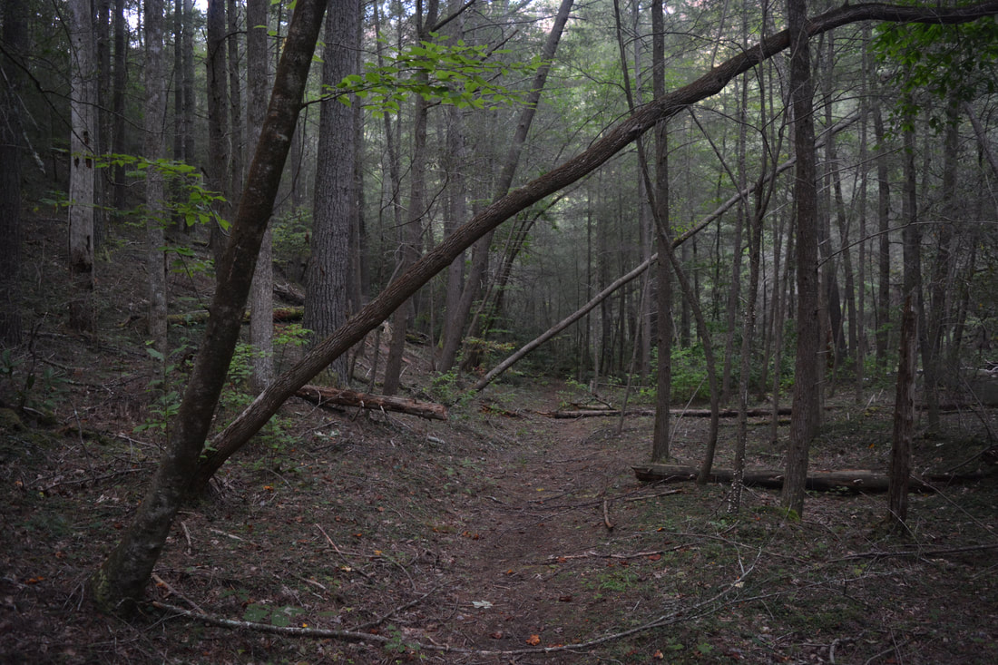
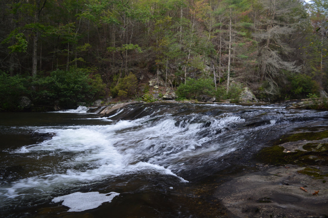
The hike begins at the kiosk in Betty Gap on FS 64. The Conasauga River Trail quickly begins a steep downhill into the Conasauga River Valley, passing a Cohutta Wilderness sign. The entire hike is in the Cohutta Wilderness. You'll immediately notice signs of the 2016 Rough Ridge Fire, such as charred tree stumps/logs and missing undergrowth. The trail soon passes a small spring on the right - the very beginning of Birch Creek. As the trail plunges into the valley, it is neat to watch how swiftly Birch Creek grows, becoming a stream of fair size only a tenth of a mile later! After the trail levels out from its initial steep descent into the valley, there is a sometimes muddy area around 0.4 miles where small streams spill into Birch Creek. After this, the trail crosses Birch Creek several times as it follows the creek downstream. There are also some rugged and rocky stretches of trail here with a few minor blowdowns. At 1.05 miles, as the trail steepens, you may be able to spot some small cascades on Birch Creek to the right. These cascades are sometimes referenced collectively as the first, second, and third falls on Birch Creek. While they are all no more than 10 feet tall each, they are still fairly scenic - especially the second one, which is a small sliding drop. After continued downhill, the Conasauga River Trail arrives at its first ford of the Conasauga River at 1.4 miles. Shallower and easier than most fords yet to come, it is located just below the confluence of Cowpen Creek and Birch Creek, where they join together to form the official Conasauga River. Most fords on the trail are marked by blue blazes, but occasionally, the blazes are missing. On the other side of the Conasauga River, the trail turns left and joins an old railroad bed that it often follows for the remainder of the hike. In fact, the first 1.4 miles of the trail are its most rugged, as the trail is usually easy and gentle along the old railroad bed. Also, the trail is almost always in sight of the Conasauga River while it follows it. At 1.9 miles, there is a large cascade on the river. The Conasauga River Trail reaches a signed junction with the Chestnut Lead Trail at 1.95 miles, which leaves left, fords the river, and ascends up the Chestnut Creek valley past several small waterfalls to FS 64. An excellent campsite lies at the junction. Meanwhile, the Conasauga River Trail bears right and shortly comes to a left turn at Ford #2. Before crossing the river though, continue straight on the short path to the base of a series of gorgeous cascades on the Conasauga River at 2.05 miles. This is one of my favorite spots along the trail, as the Conasauga River splits into multiple cascading channels among large boulders covered in lush green moss. Below the cascades is a fairly deep area lined by cliffs. This is a spot to linger at. 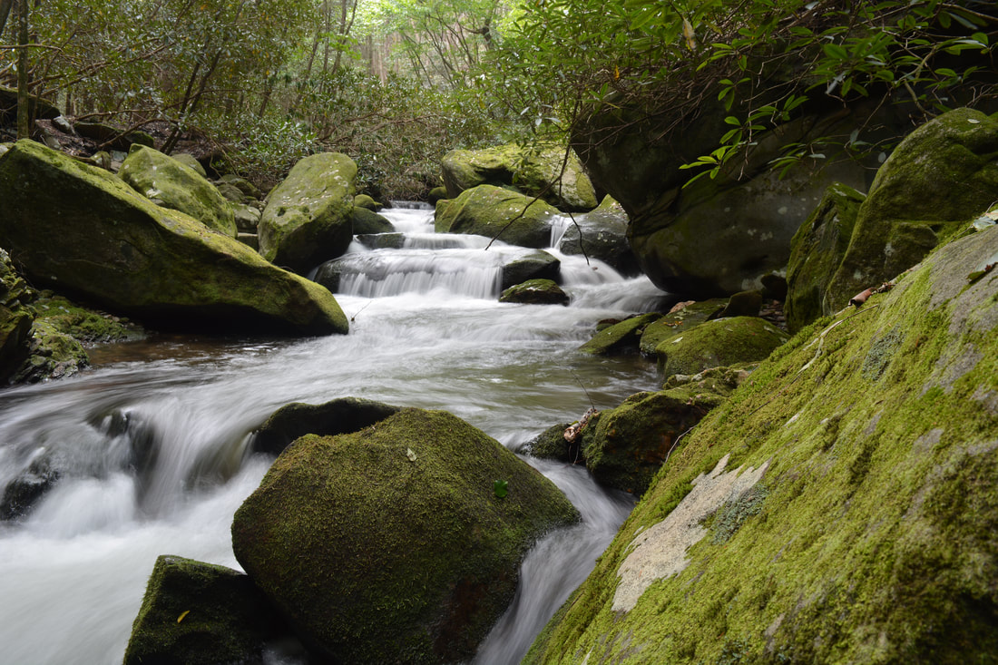
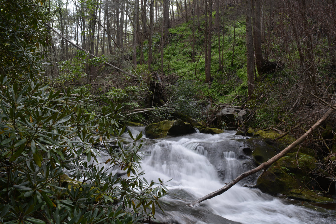
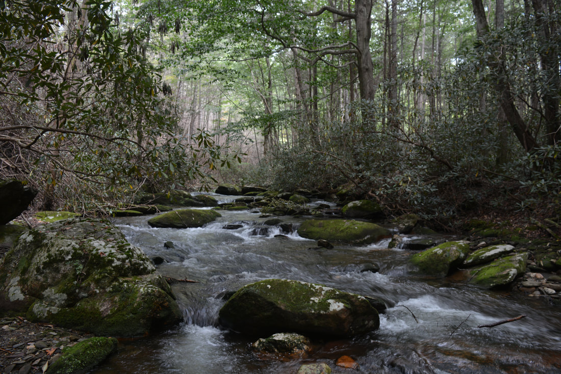
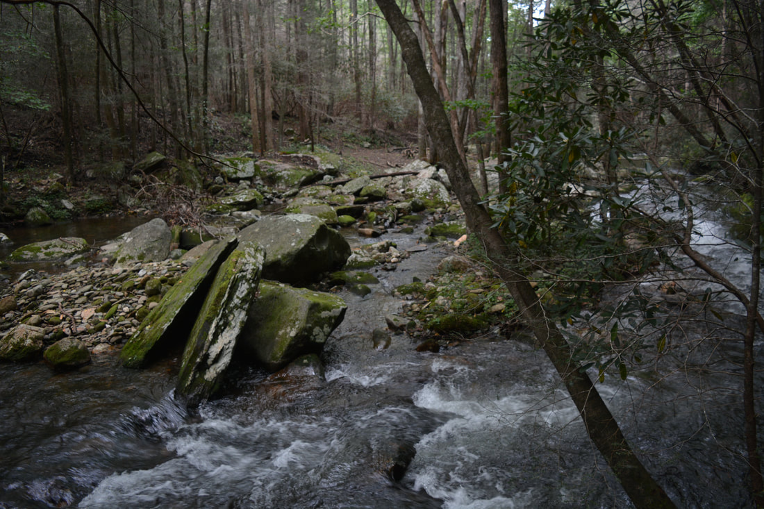
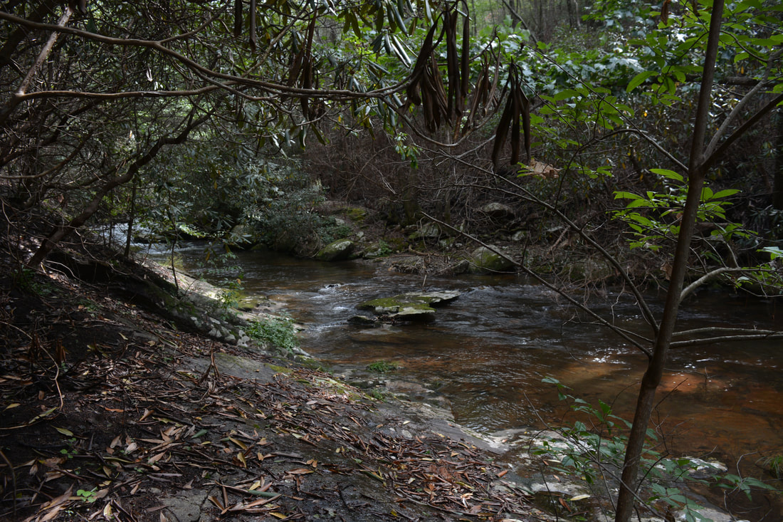
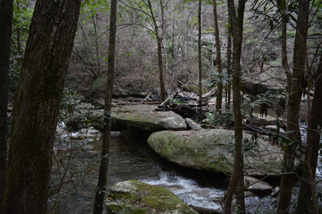
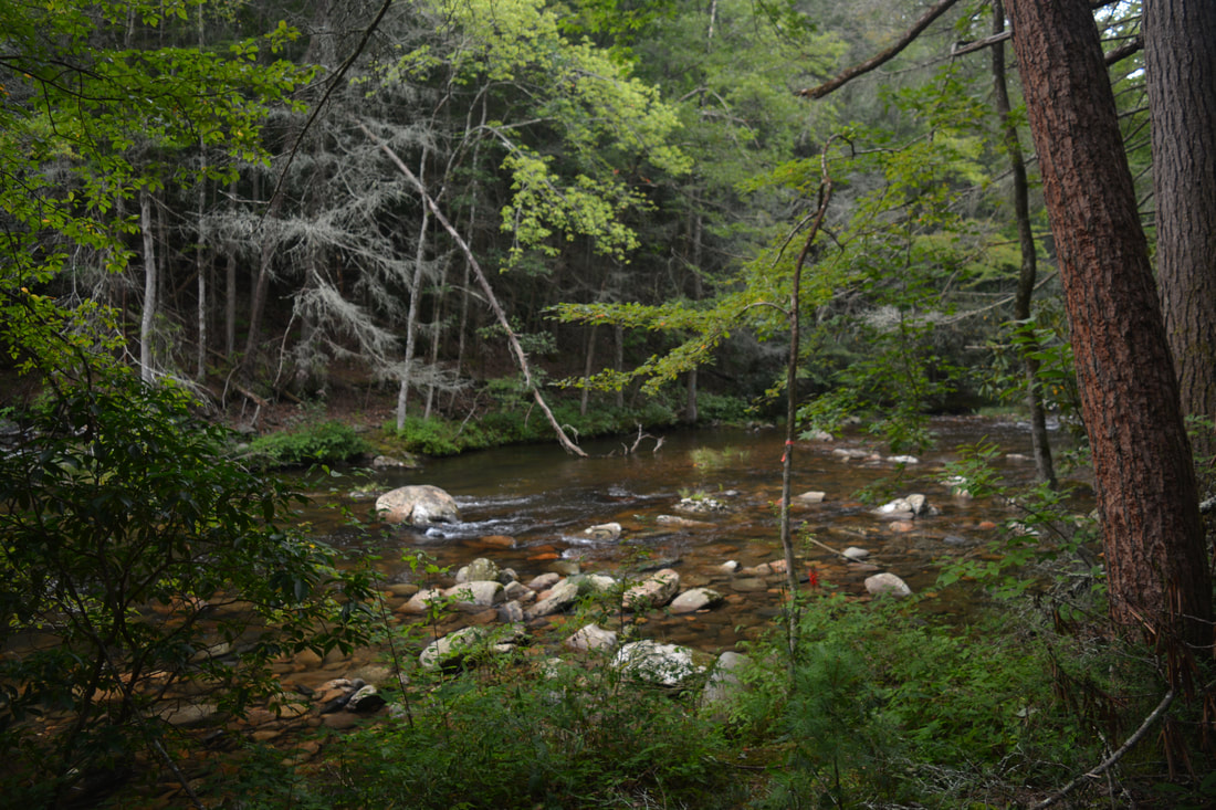
This is one of the most beautiful cascades on the Conasauga River thanks to all the boulders covered in lush green moss.
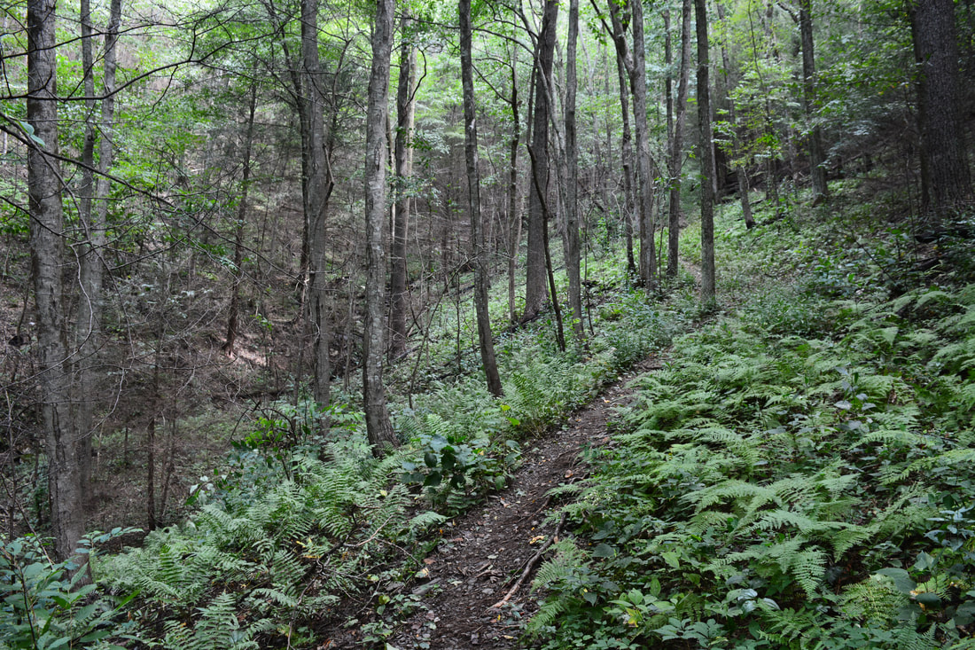
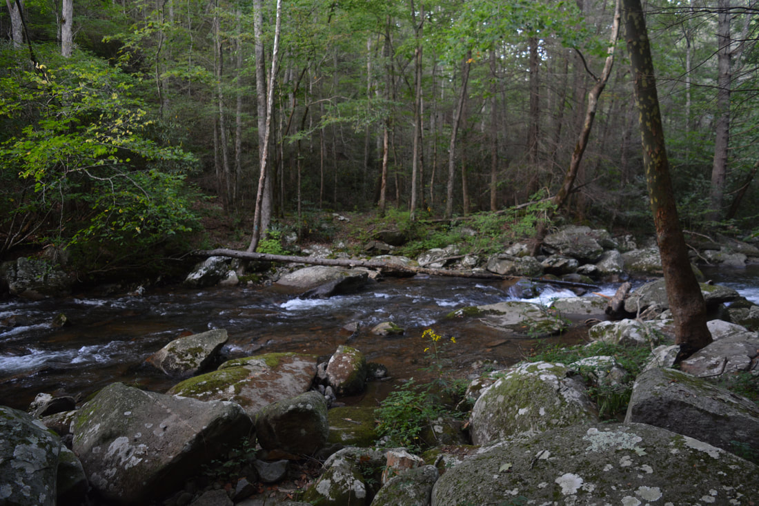
Return to the trail and make Ford #2. Over the next 3.1 miles before the Panther Creek Trail junction, the Conasauga River Trail makes 16 more fords of the river as it gradually widens. All of the fords are relatively easy - and most are below knee-level. However, all of the fords have lots of rocks underfoot, so each ford must be done slowly and with care, as it can be easy to slip. At 3.2 miles, you'll be able to glimpse a small waterfall on a tributary across the river. There are numerous scenic cascades sprinkled throughout the river, and while I will not describe them in detail, know that most of them are easy to get to and many are worth quick side trips. The trail is generally fairly obvious.during this time, and in fact, the first half of the Conasauga Trail is more distinct as it is easier and more popular. The Conasauga River Trail finally arrives at the signed junction with Panther Creek Trail at 5.2 miles after Ford #18. Here, the Panther Creek Trail turns right, fords the river, and makes a long and fairly steep ascent out of the valley along Panther Creek, past Panther Creek Falls, and eventually to East Cowpen Trail. This hike continues straight on the Conasauga River Trail, where the trail begins one of its few long dry stretches. The trail briefly rises away from the river, contours along the slope, and then arrives at a signed crossing with the Tearbritches Trail at 5.6 miles just past a crossing of Tearbritches Creek. The Tearbritches Trail leaves left and climbs steeply for several miles to FS 64. The Conasauga River Trail continues straight through a large area of camping flats. This area is known as Bray Field and is very popular with backpackers who hike in to the Conasauga from the Tearbritches Trail and Hickory Creek Trail (which ties in a bit later).
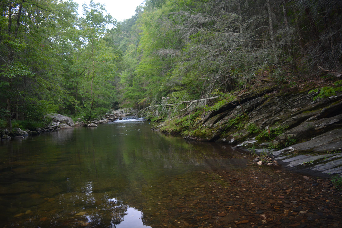
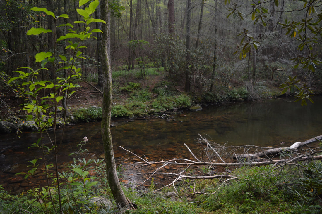
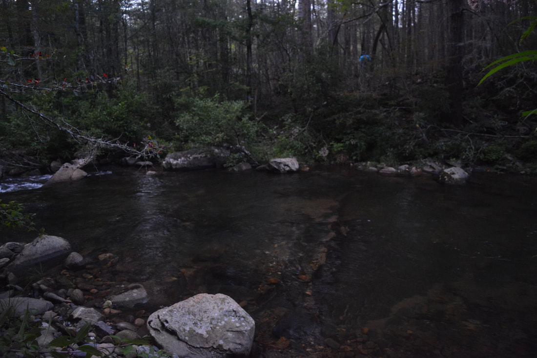
250 feet farther, the Hickory Creek Trail comes in at a sign in a grassy clearing and joins the Conasauga River Trail. To the right, the Hickory Creek Trail fords the river and travels for several miles to FS 51. Meanwhile, at the clearing, the Conasauga River Trail bears left onto an old forest road now in conjunction with the Hickory Creek Trail and makes a half-circle around a marshy overgrown area. Mistakenly, from the junction I continued straight on a single-track path, as the map above indicates. If you follow the path, that is fine as well, as it is just an alternate trail used by backpackers due to the number of riverside campsites along it. The path follows a narrow area between the marsh and the river, crosses a small stream below the marsh, and rejoins the broad Conasauga River Trail at 5.95 miles. Turn right and follow the nearly level forest road along the boulder-strewn river, briefly rising above it at one point. At 6.7 miles, reach another junction with a campsite to the right. The obvious Hickory Creek Trail turns left along Rough Creek and ascends out of the valley to FS 17. Much less distinct is the Conasauga River Trail, which you must continue following as it bears right and descends to the edge of the Conasauga River at the Rough Creek confluence. This is Ford #19: one of the widest and trickiest fords on the hike. Remain vigilant throughout the ford, as there are numerous slippery stones underfoot. On the other side, the trail continues downstream and shortly becomes confusing. The river makes a bend and enters a short gorge area where there is a series of large rapids culminating with a small waterfall dropping into a deep pool. The official trail fords the Conasauga River above the rapids, and this crossing is always tricky. Since the small waterfall is a must-see spot along the hike, my suggestion is to bear right and follow the goat path downstream to the base of the falls and past the pool. The trail comes out at the river and makes Ford #20 at 6.8 miles just below the pool and falls. This is perhaps the deepest ford along the hike, and on this day, it was above my waist. On the other side of the river, take a moment to contemplate the beautiful sight. The Conasauga River cascades into the large pool which is lined by a cliff on the same side of the river. In my opinion, this is the most beautiful spot along the trail. There is an excellent campsite next to the pool but it may be hard to find it unoccupied. To continue on the trail, bear left on the faint path that steeply scrambles to the top of the cliff, where there is a killer view of the extremely photogenic rapids above the pool. What a scene! The clifftop view is depicted in the cover photo for this report. The path then descends a small rock outcrop and rejoins the main trail at the top of the rapids. Turn right onto the trail and follow the broad pathway through an old railroad cut above the river. After a brief descent, the Conasauga River Trail reaches Ford #21 at 7.15 miles. This is where the aqua-hiking resumes in earnest again, with 17 more fords in the next 4.7 miles. Most of these fords are fairly easy, but there is one major difference: at all of the fords, the river is wider and swifter than above Bray Field. Most fords also have at least some stones underfoot that make the crossings slow. The trail itself is mostly obvious though, although there are occasional blowdowns. 
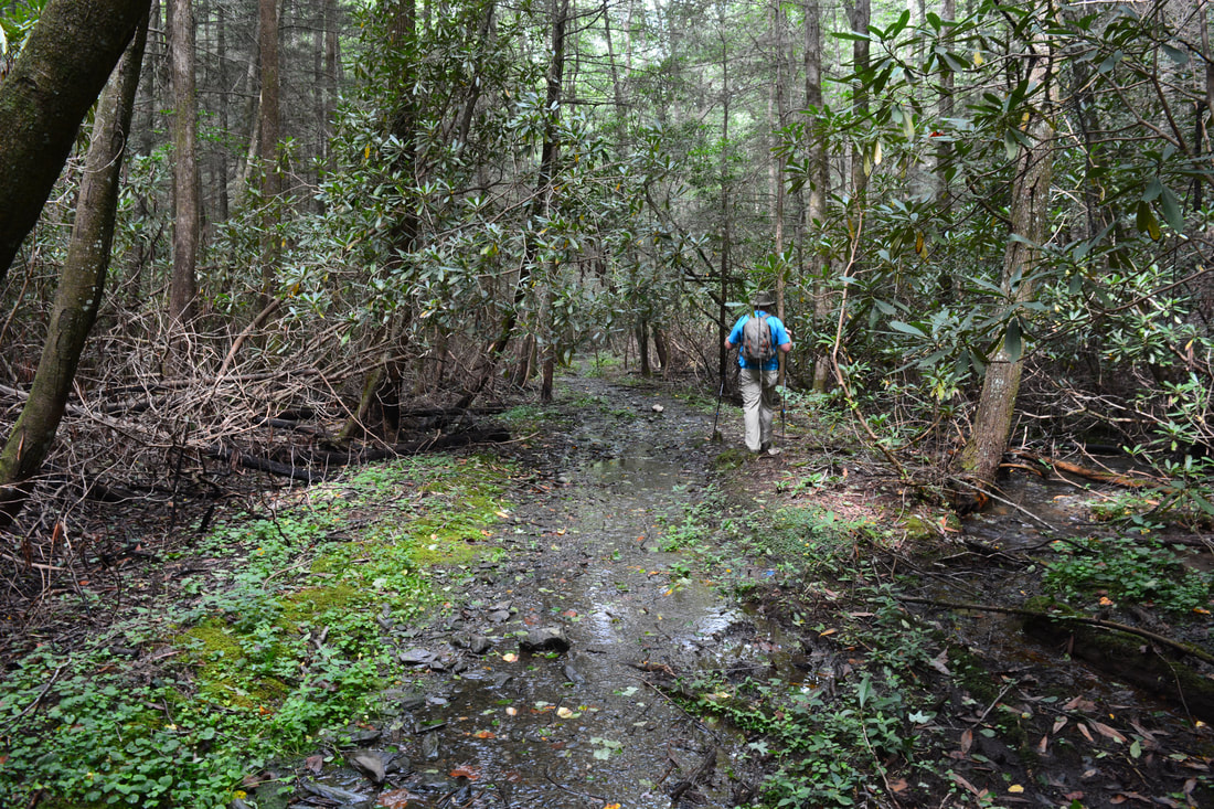
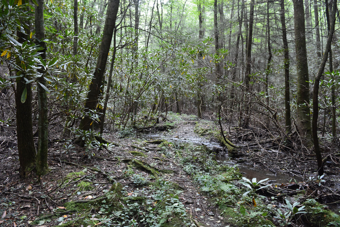
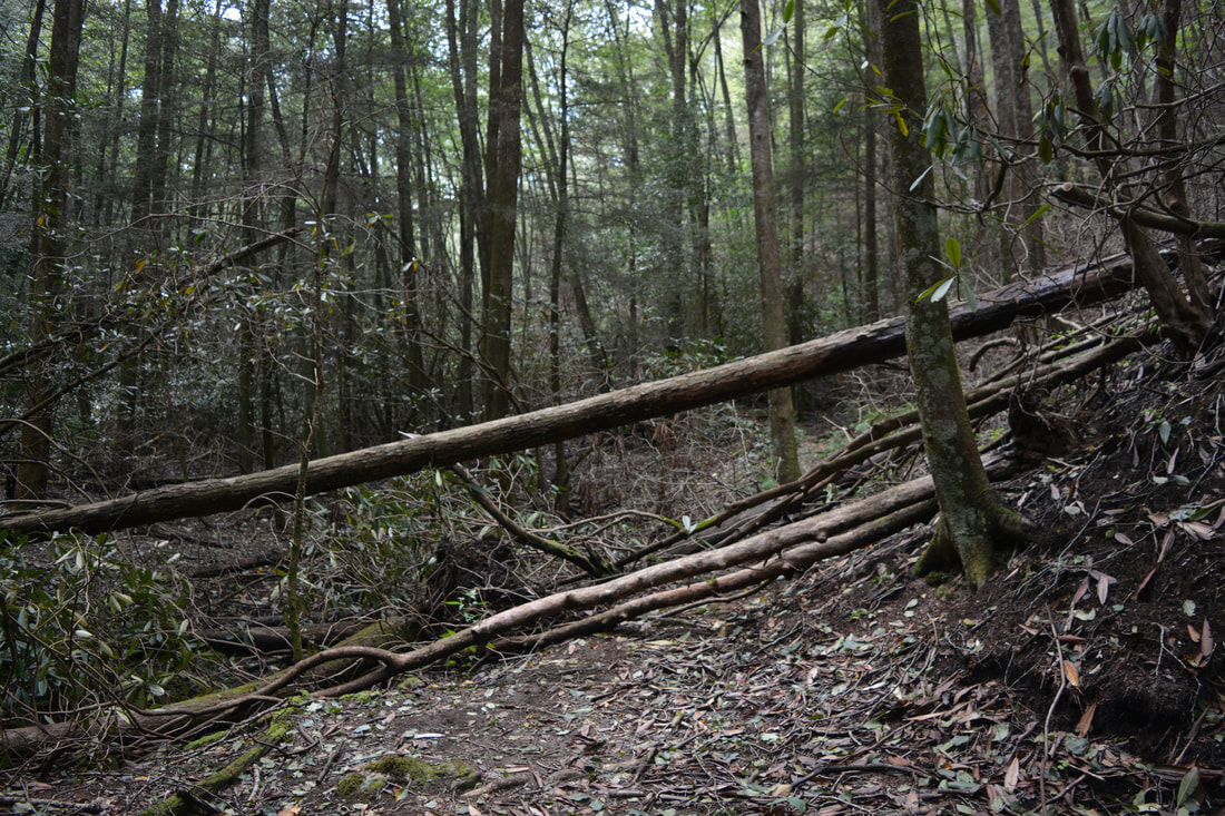
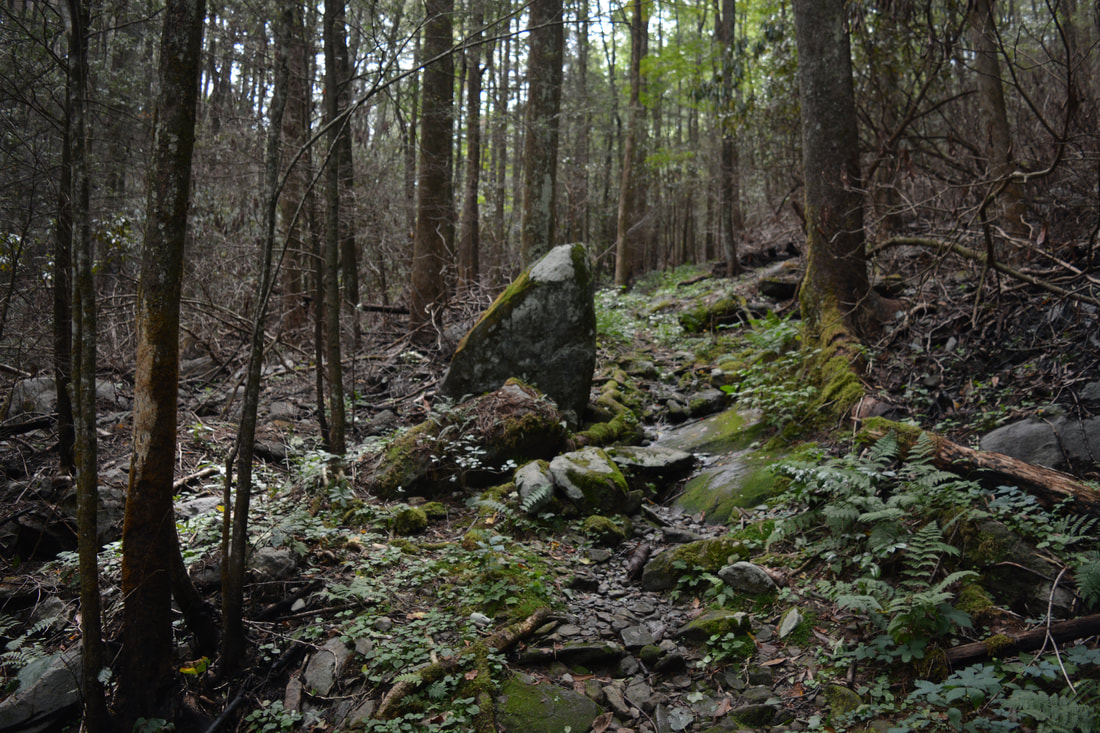
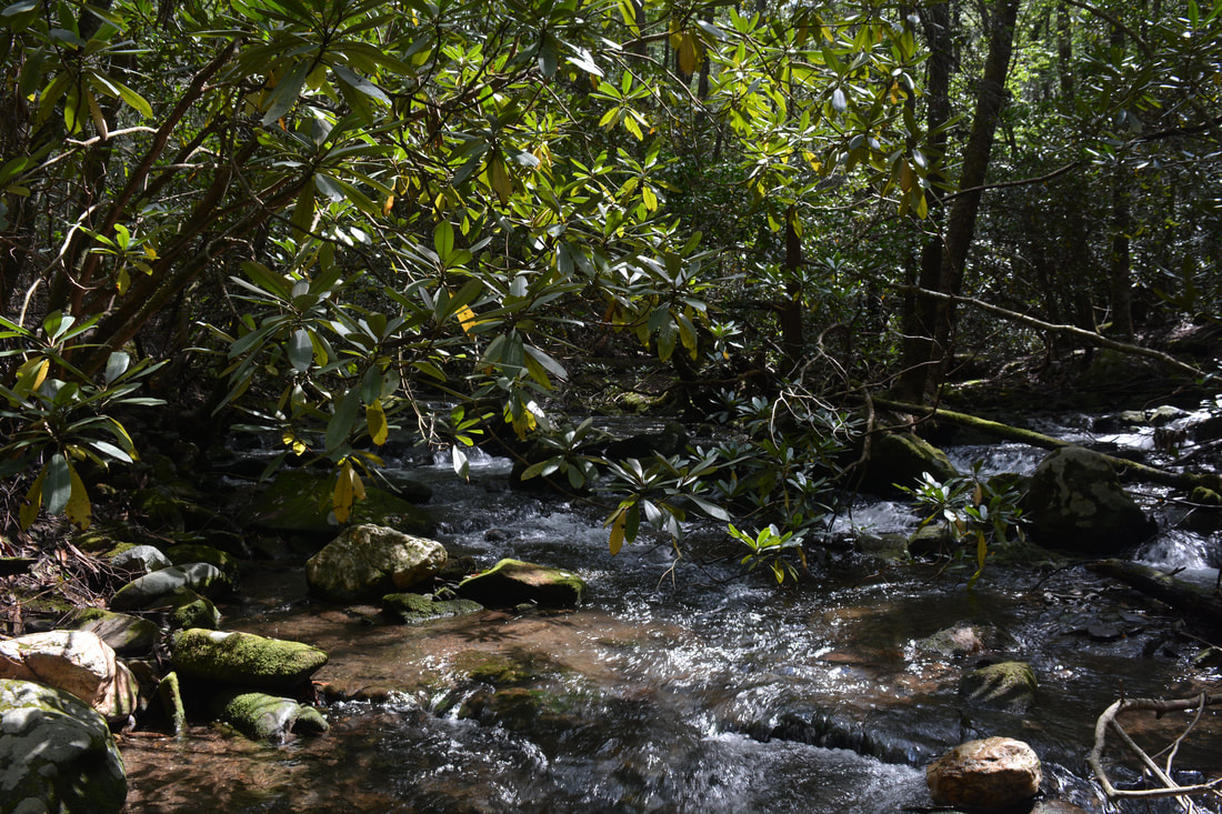
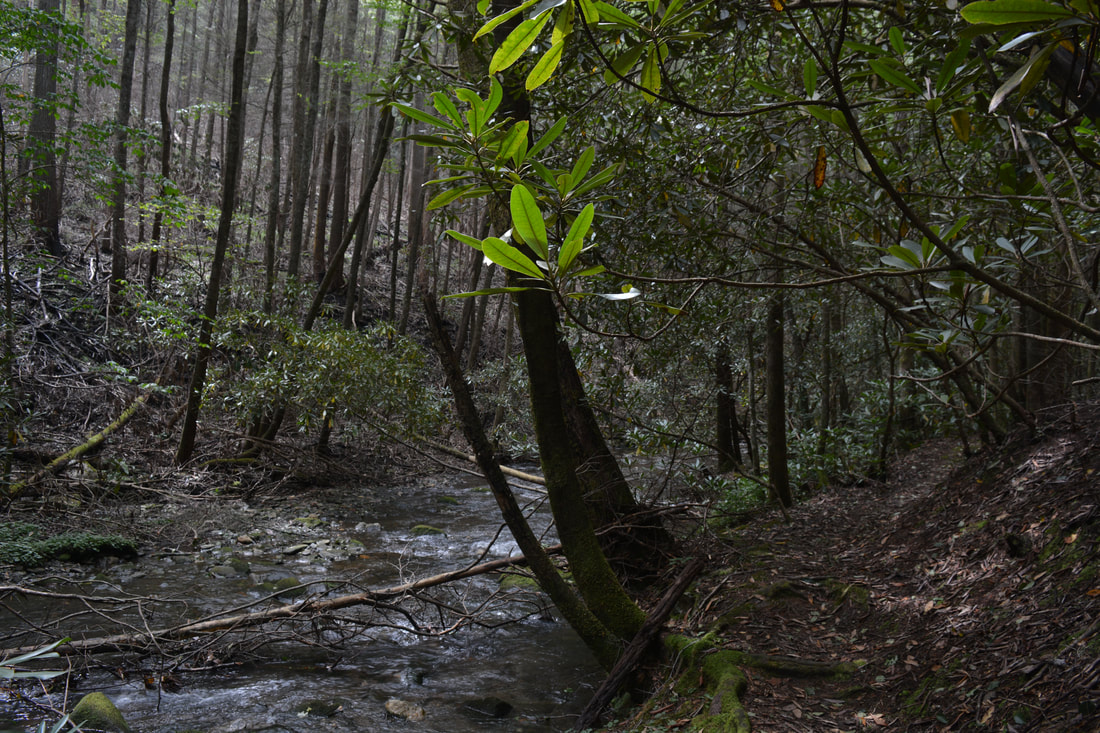
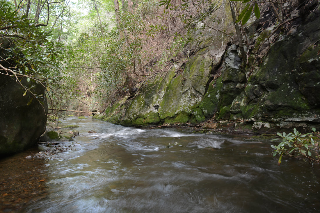
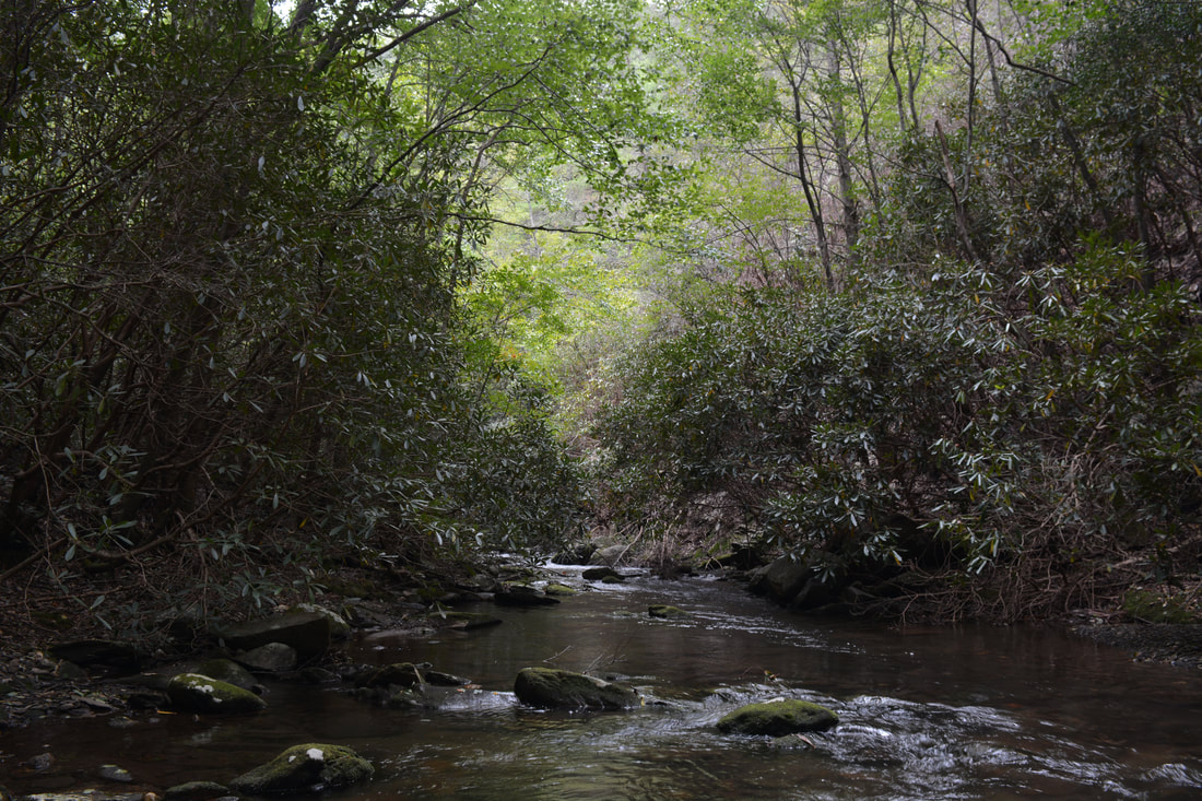
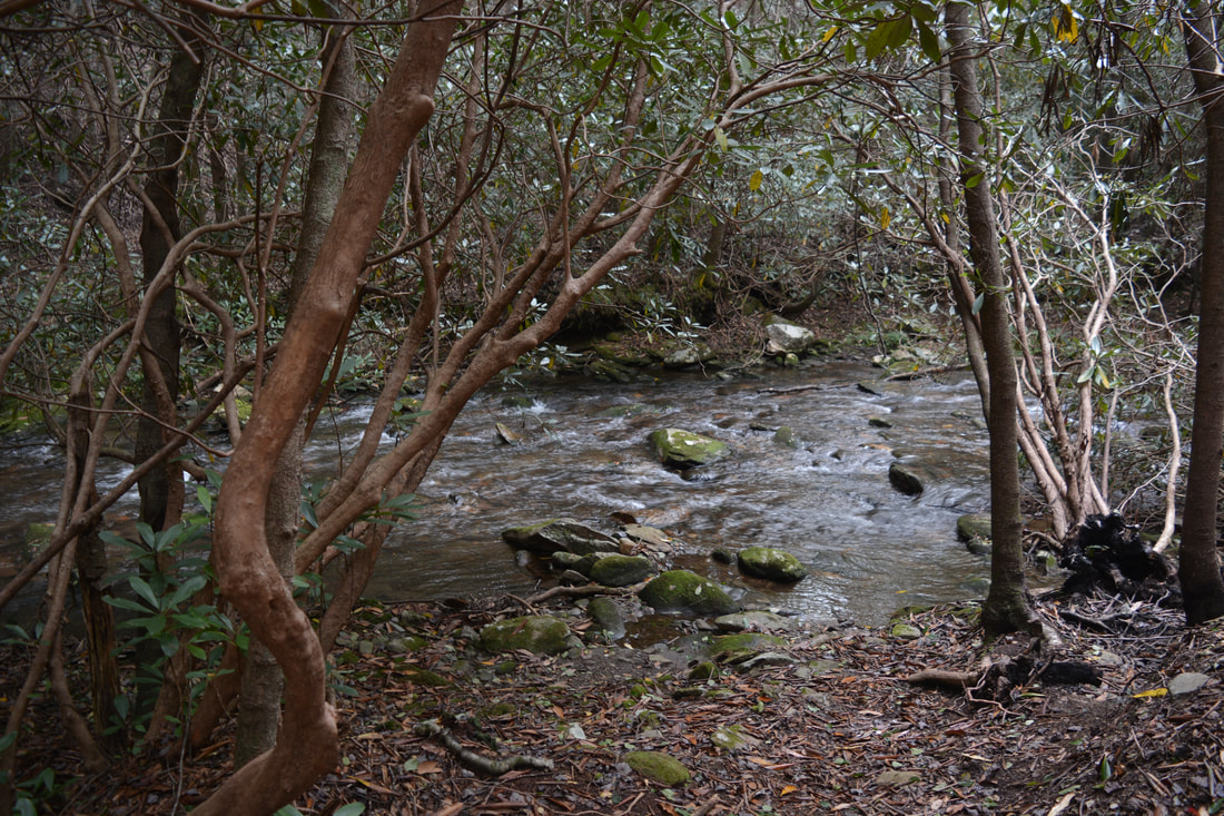
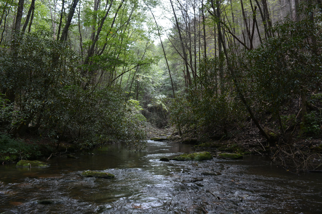
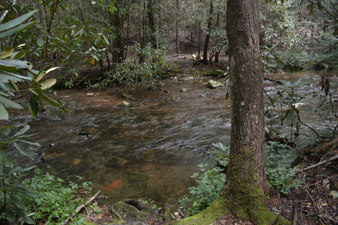
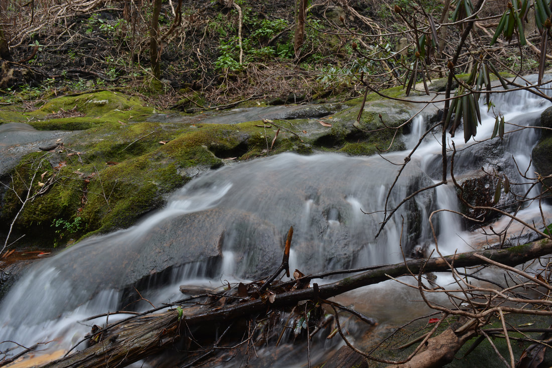
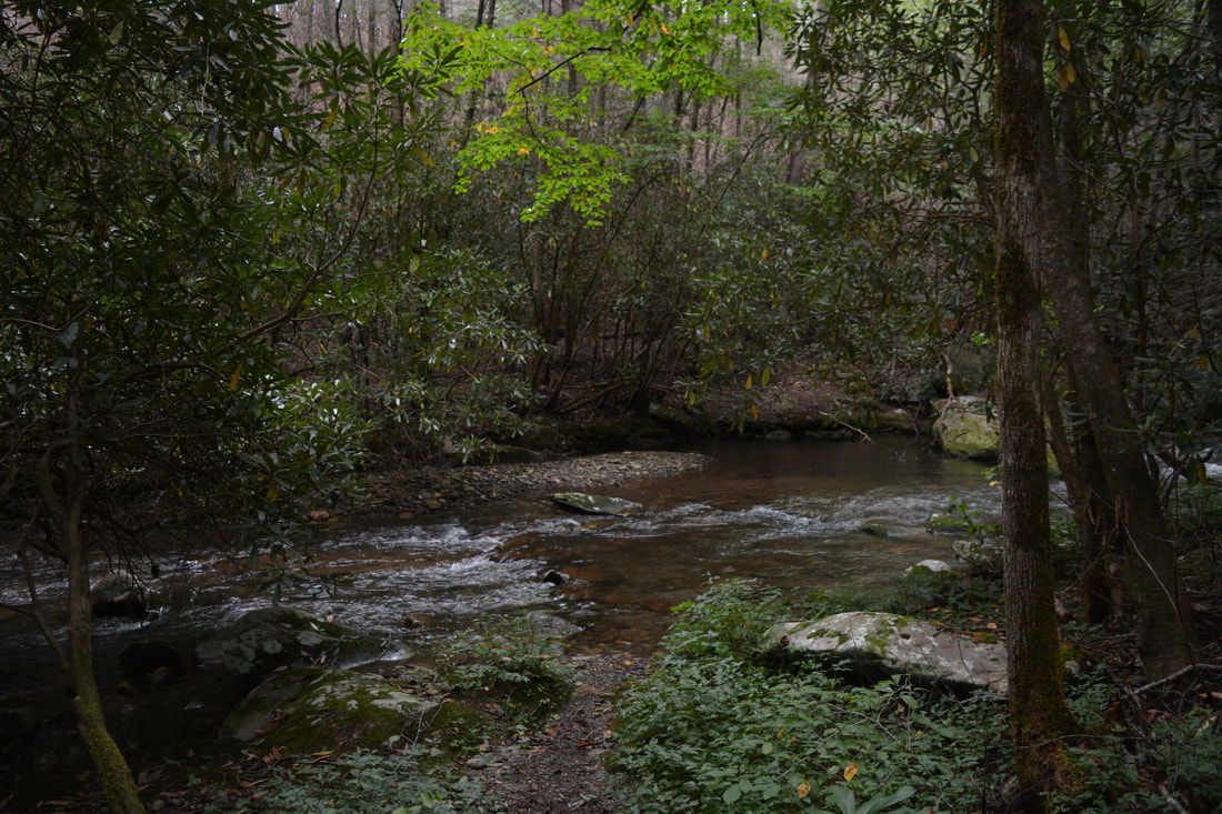
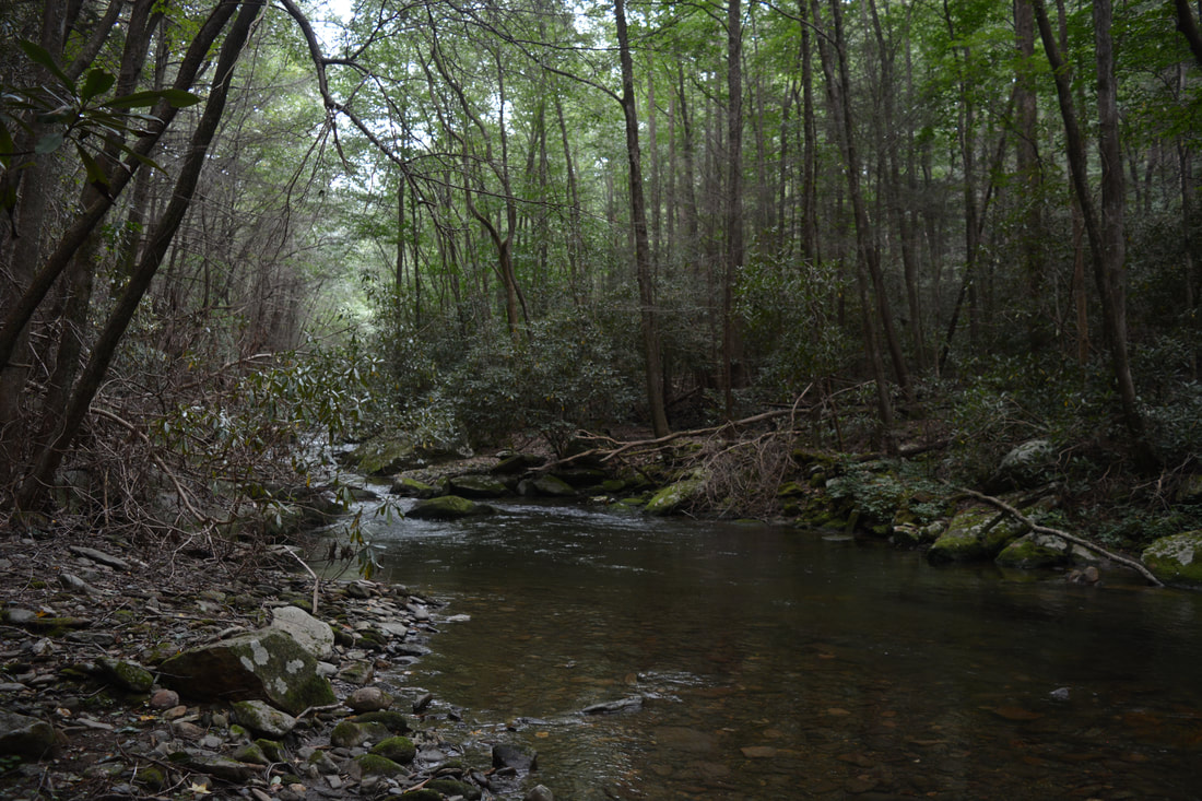
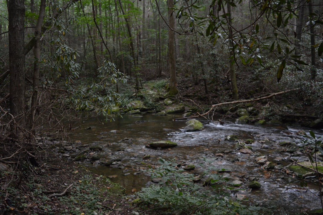
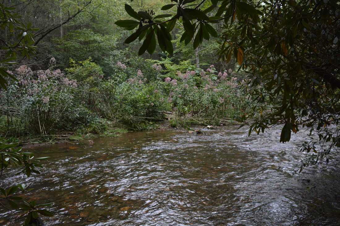
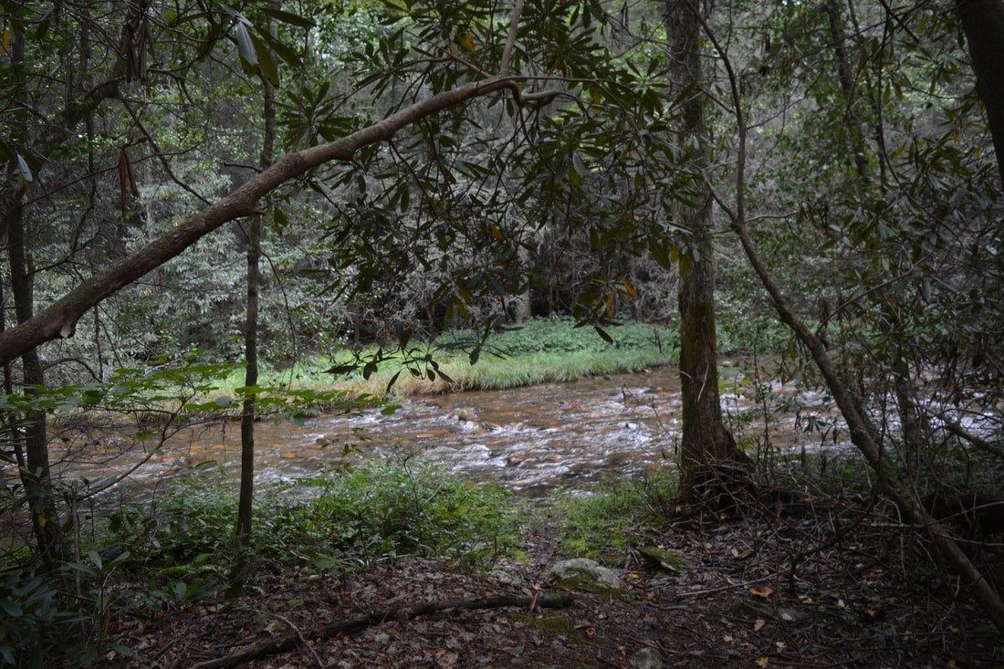
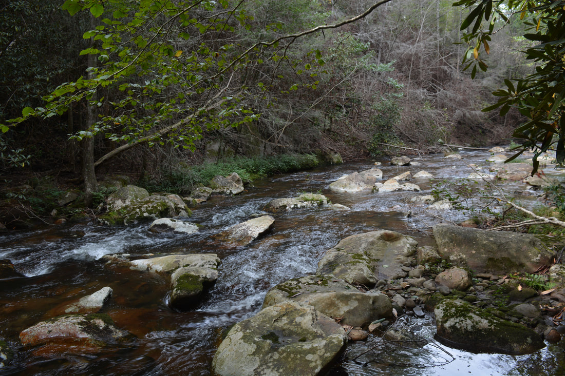
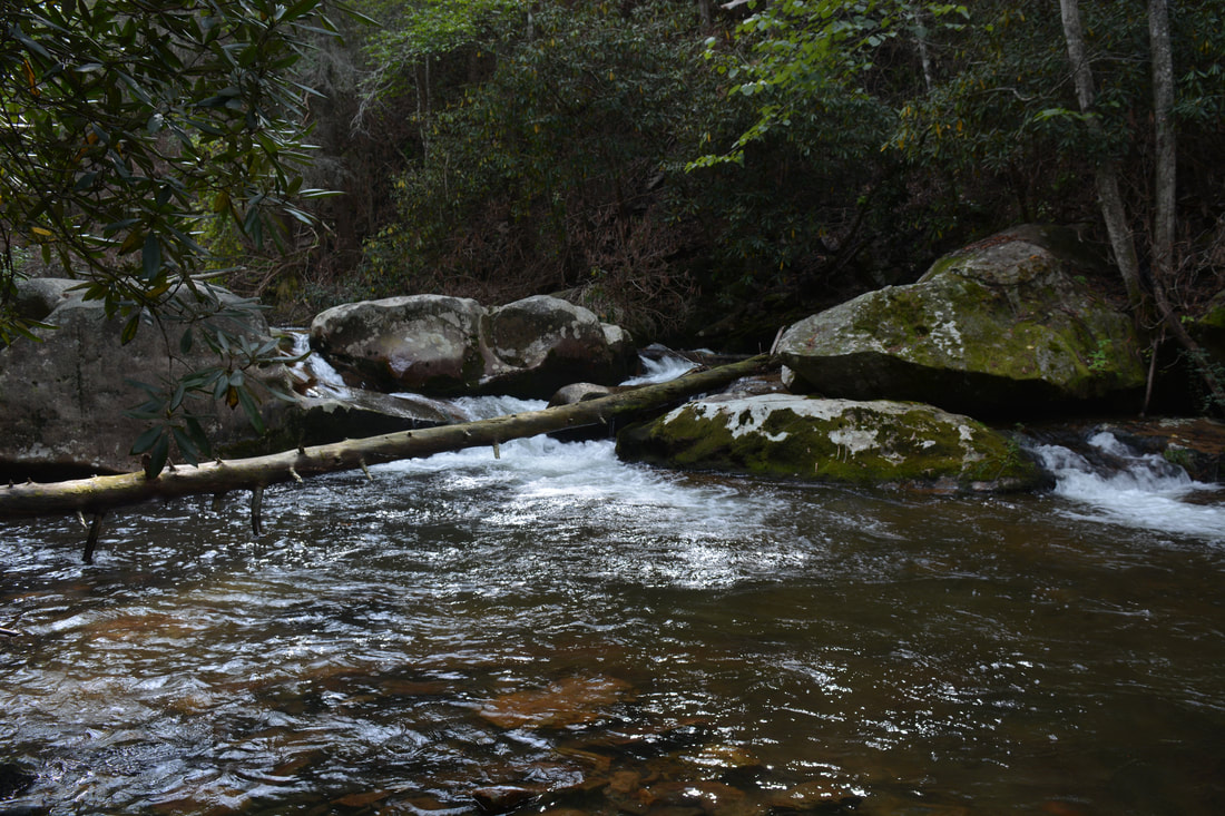
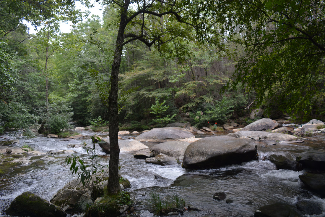
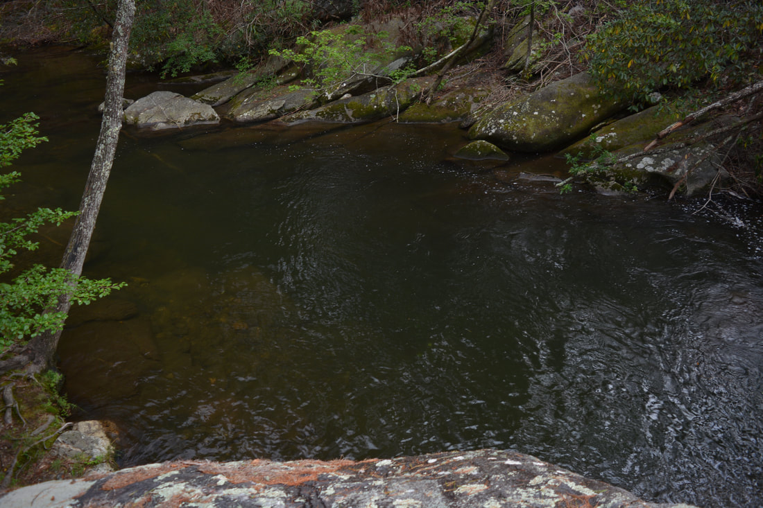
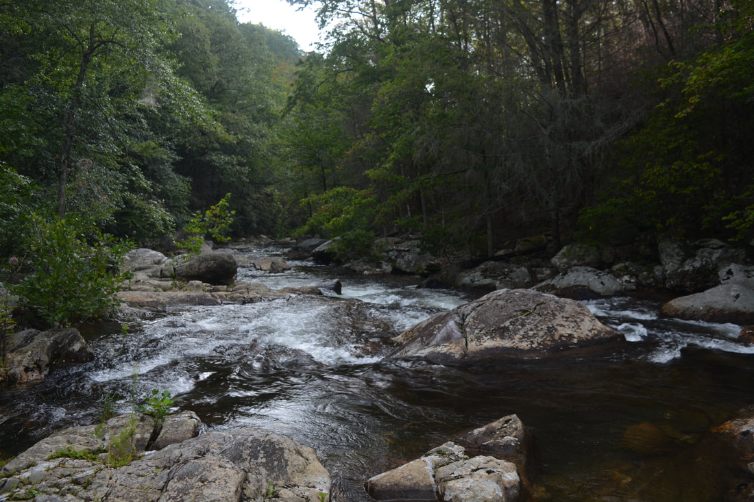
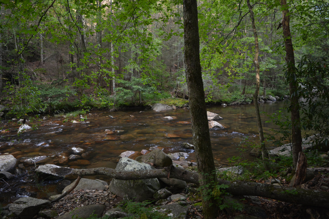
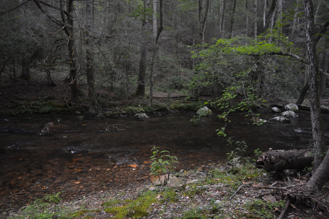
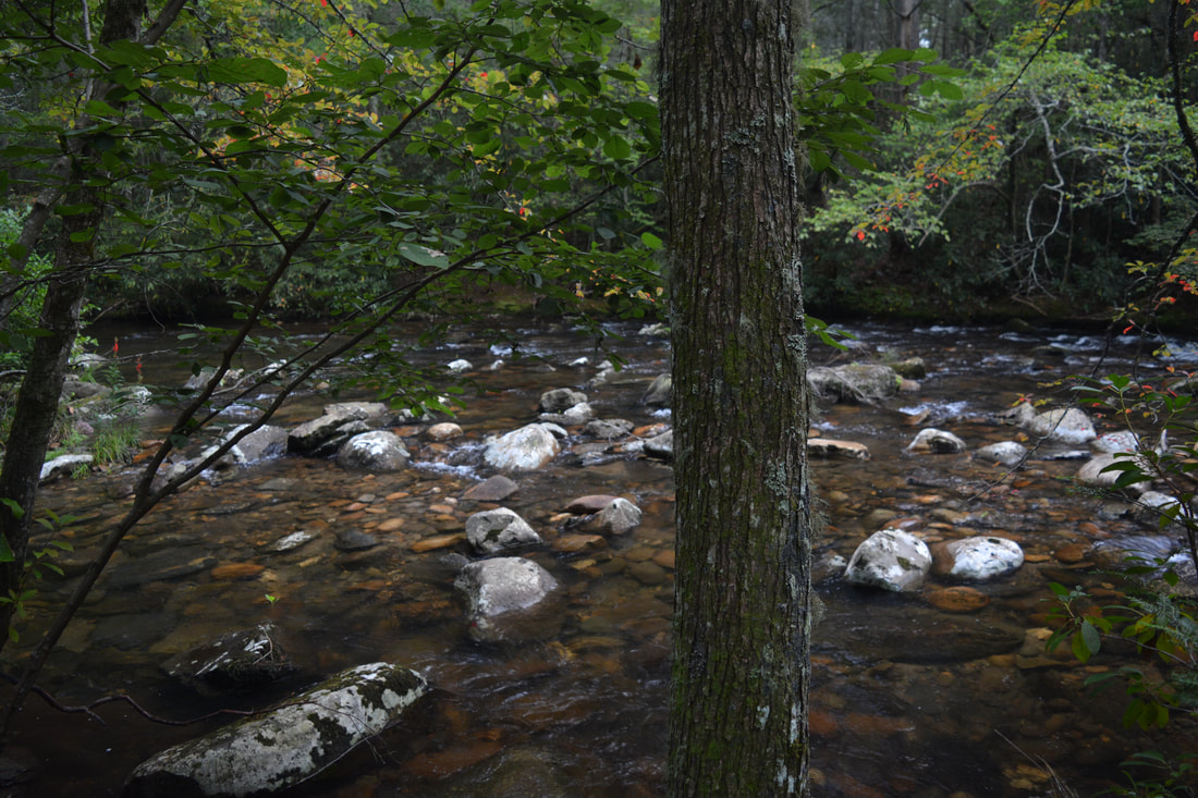
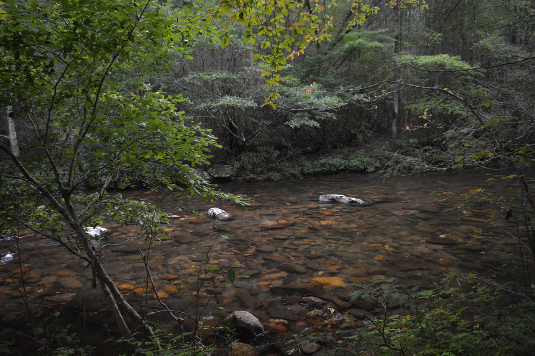
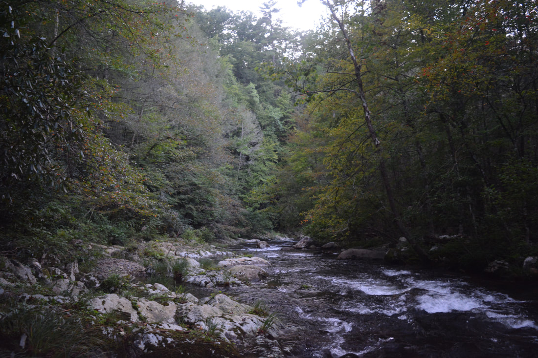
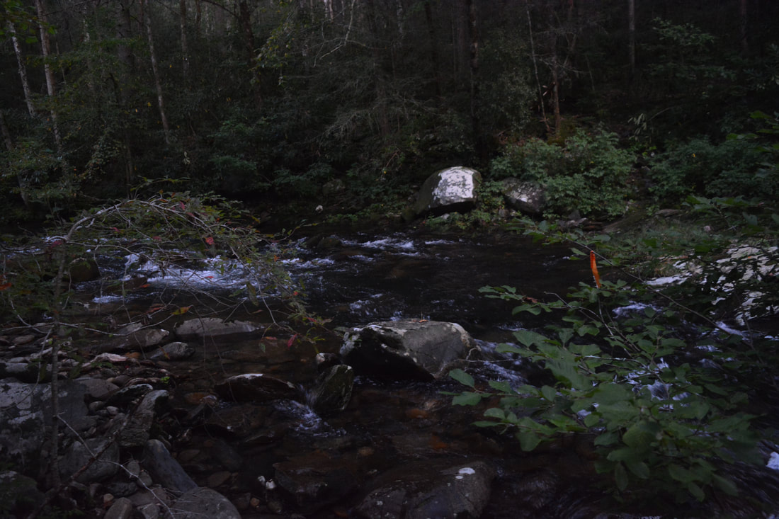
Peaceful scenes like these are plentiful along the Lower Conasauga River.
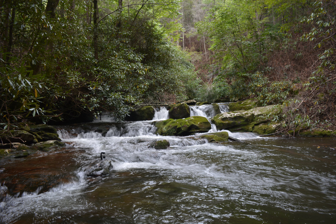
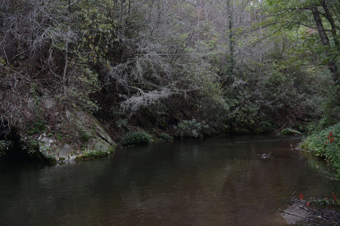
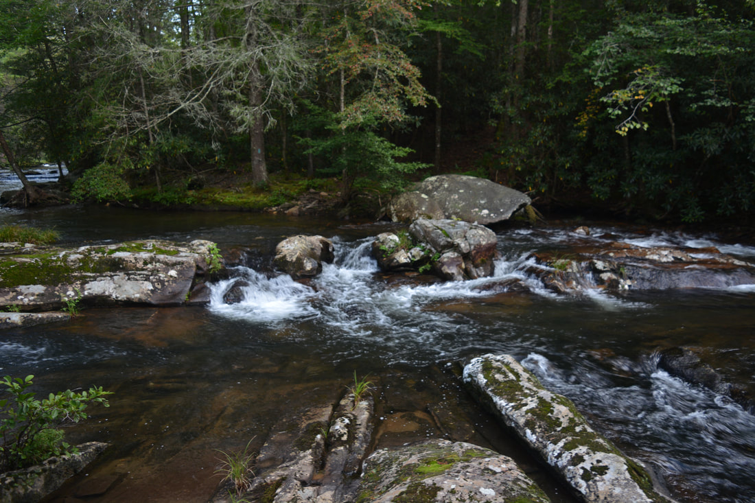
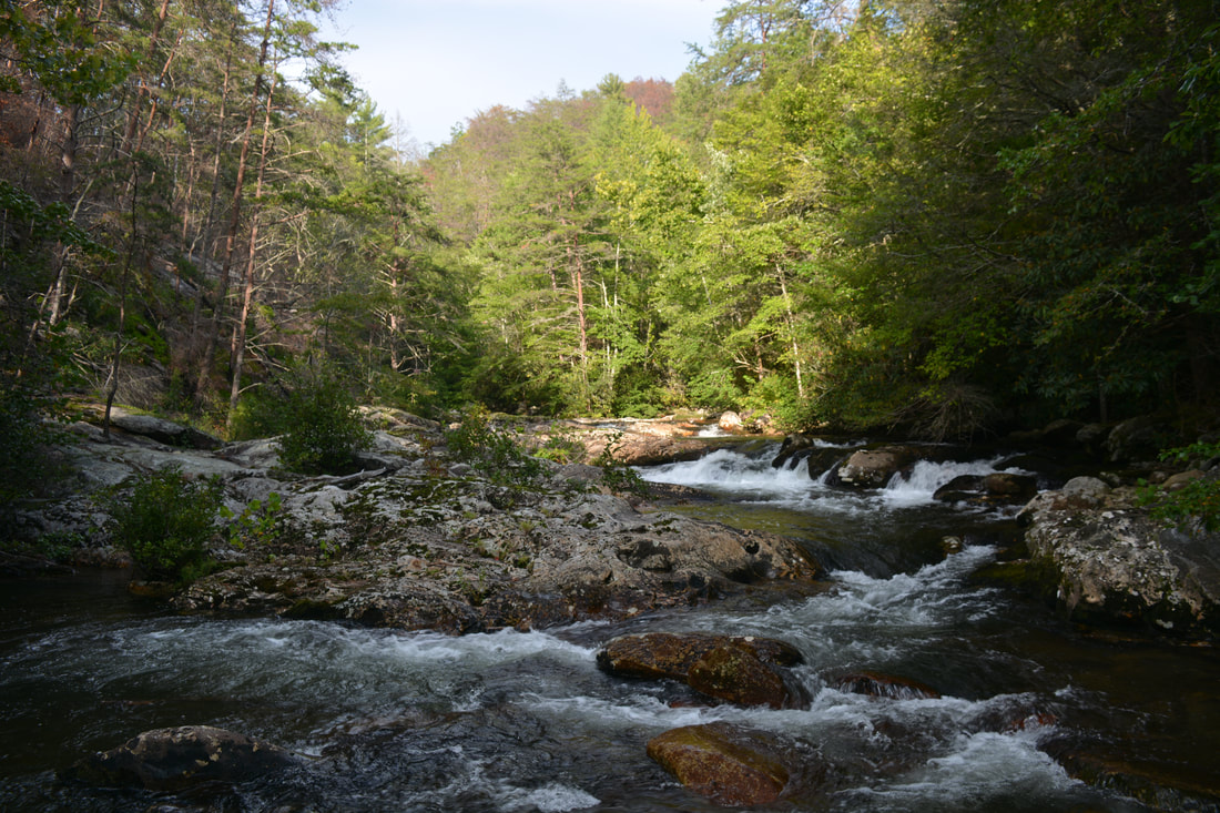
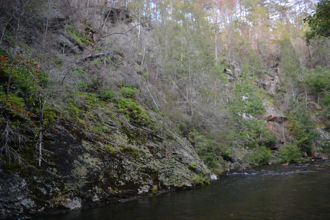
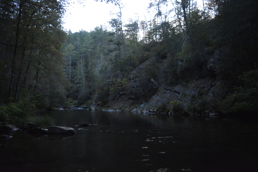
The trail passes the confluence with Thomas Creek at 7.7 miles, which spills into the Conasauga with a final cascade. A quick detour to the river is worthwhile here, as this is another really scenic location. As you hike along the river, note the many bluffs along it. The Conasauga River is lined by more cliffs than I've seen along any other river of its size in Georgia. The long cliff to the right of Ford #31 is particularly notable. One of the longest dry stretches along the trail is a 0.8-mile segment that follows between Ford #31 and #32. The segment between Ford #32 and #33 comes in at 0.85 miles long as well. Dry stretches like these are welcome between the continuous crossings. At 10.5 miles, there is a scenic sliding cascade to the right that spreads out along the entire width of the river. Needless to say, there are many other gorgeous cascades along the river. Personally, I think that the lower section of the Conasauga River is more beautiful than the one above Bray Field - in part due to how much larger the river is.
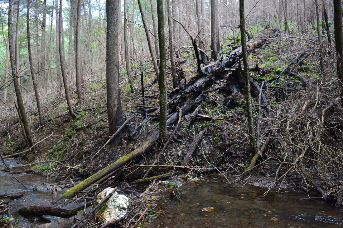
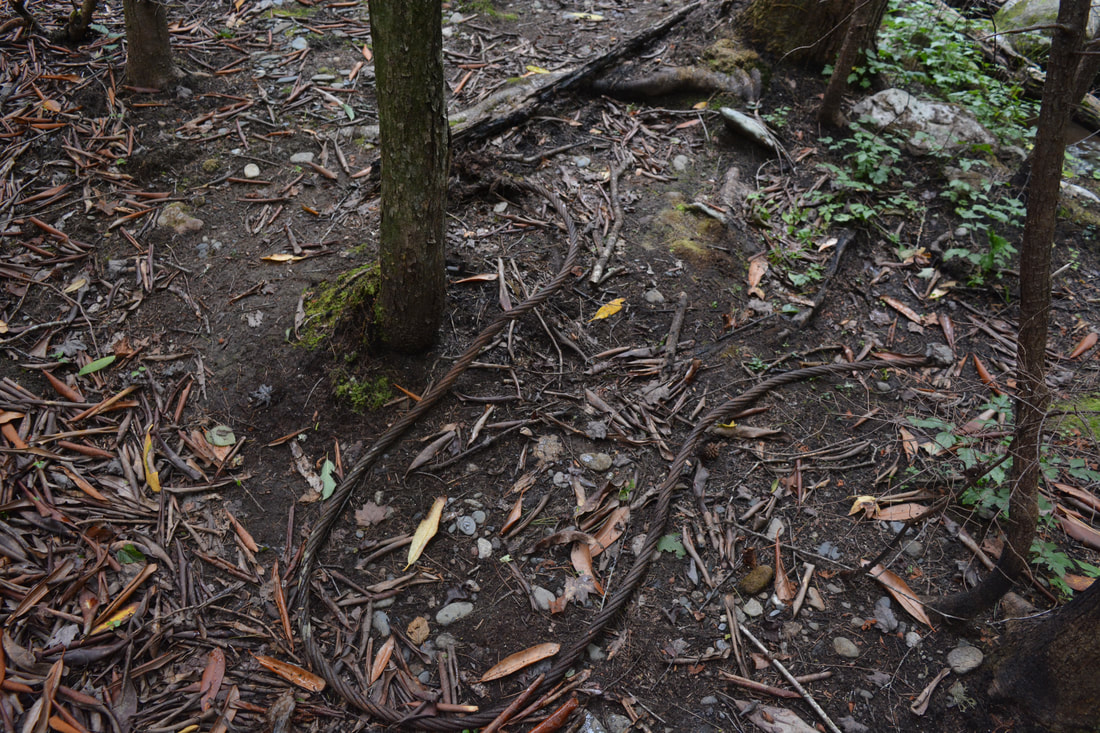
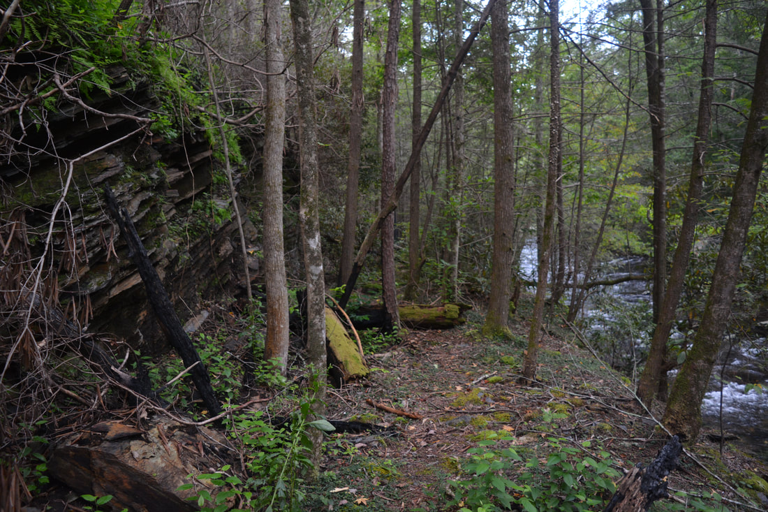
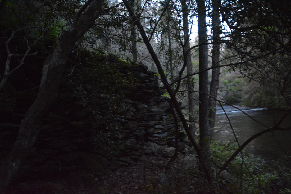
At the far side of Ford #37 at 11.3 miles is a curious sight: a long rock wall stretching to the edge of the river. My best guess is that there was once a railroad trestle here, since the trail is still following an old railroad bed, although I don't understand why there are no ruins on the near side of the river. At 11.55 miles, the trail crosses Hickory Creek - another large tributary - and then makes the final crossing, Ford #38, at 11.85 miles. Watch out for a sharp left turn about 150 feet past the last crossing, as the trail turns steeply uphill and leaves the obvious old railroad bed. If you miss the turn and reach a campfire ring in the middle of the old railroad bed, you'll know that you have to backtrack. The final 1.2 miles of the Conasauga River Trail consists of a 400-foot ascent out of the valley to FS 17B. After the initial uphill, the trail crosses a knob, passes through a gap, and then contours along the slopes for some time above an unnamed tributary of the river. After a muddy crossing of the tributary at 12.65 miles, the trail becomes brutally steep, ascending around 200 feet in less than a quarter-mile. This ascent may not feel very pleasant with over 12 miles on your legs! As soon as the trail finally levels out atop the ridge, it reaches a signed junction with a forest road at 13.0 miles. Turn left and follow the broad road up to the its end at FS 17B, which you'll reach right at the Conasauga River parking area at 13.1 miles, concluding the hike.
The Conasauga River Trail is one of the most beautiful river trails I've hiked, which is remarkable considering that there are no significant waterfalls on the river. Eye candy in the forms of both countless cascades and tranquil cliff-lined waters is plentiful along the trail. In addition, the Conasauga River Trail and its 38 fords provide a fantastic wilderness experience - one of the best that you can get in Georgia. For these reasons, I am rating the Conasauga River Trail a "Best Hike" and encourage more people to hike it - the underrated lower section below the Hickory Creek Trail junctions in particular.
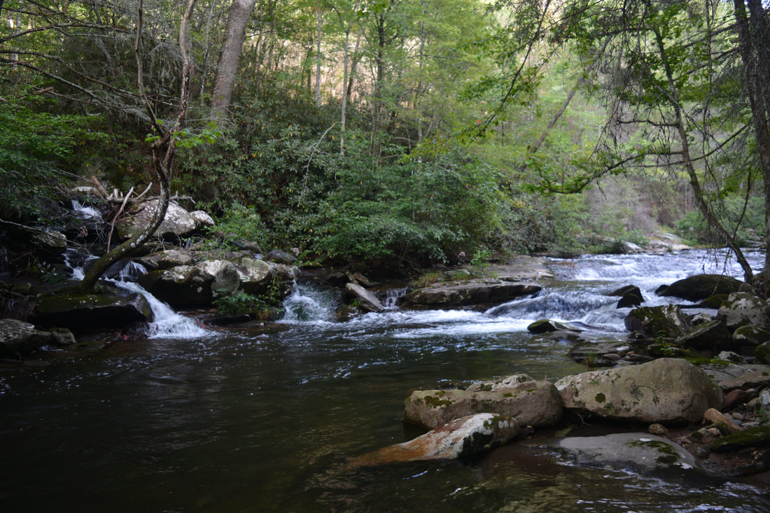
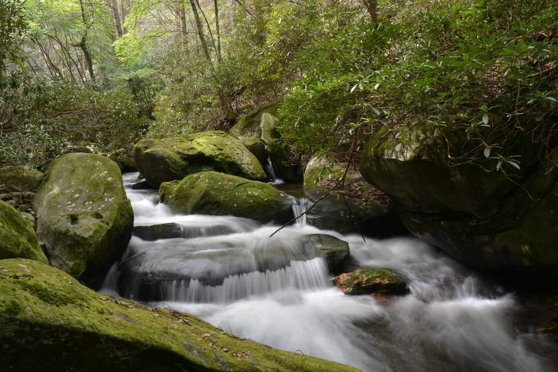
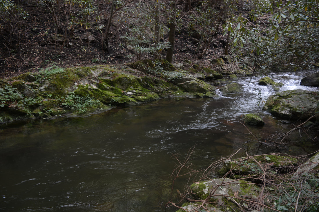
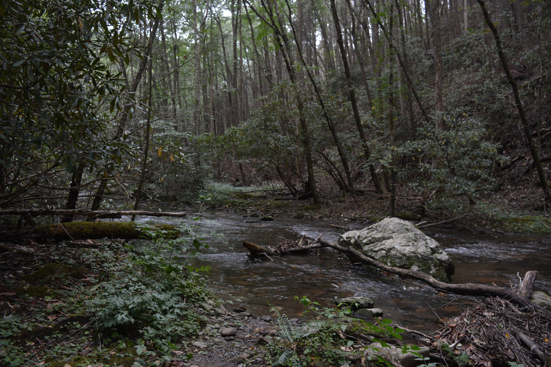
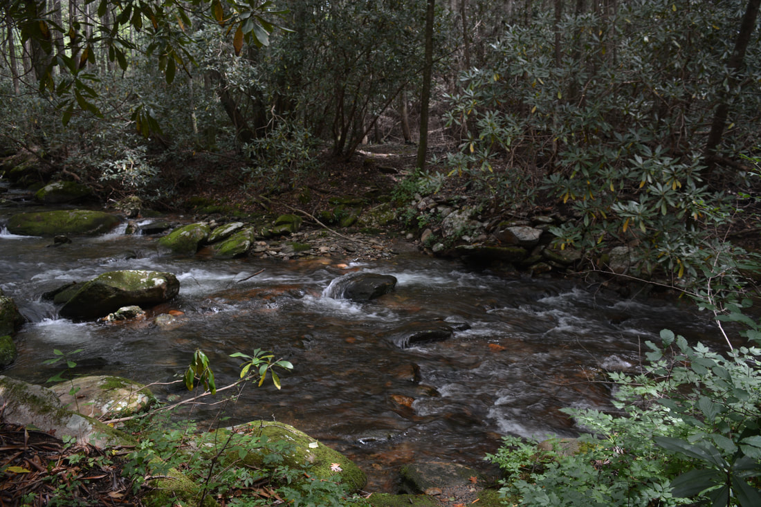
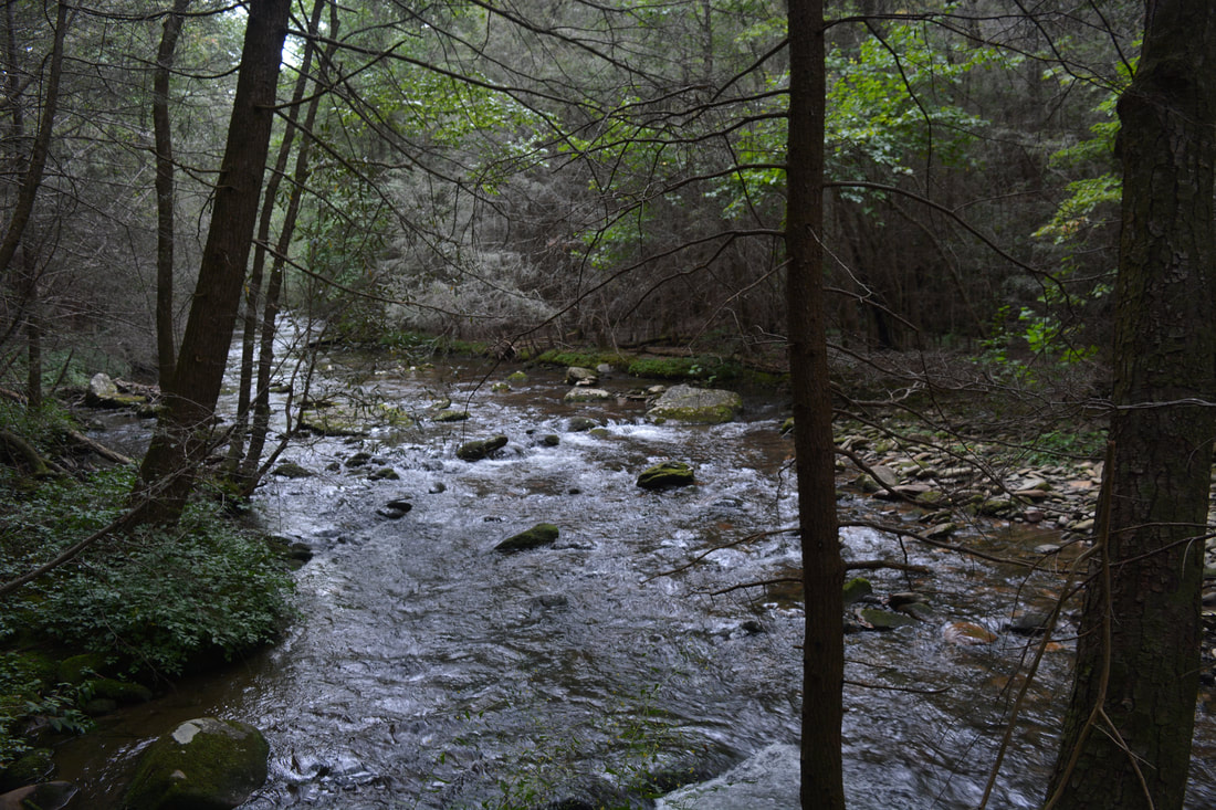
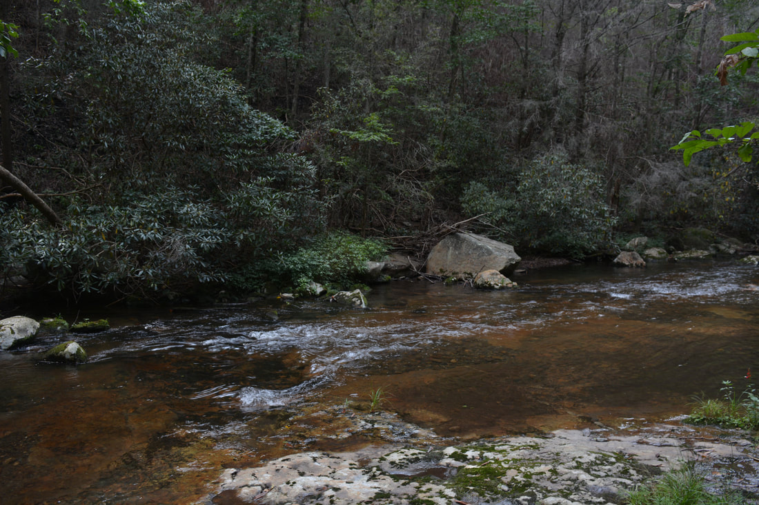
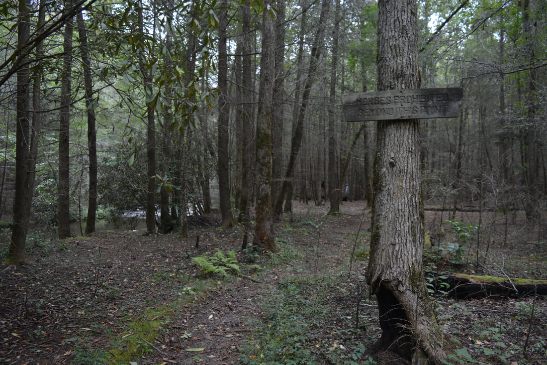
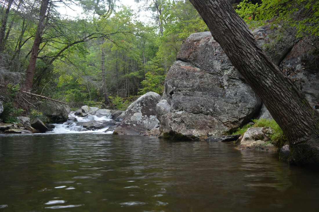
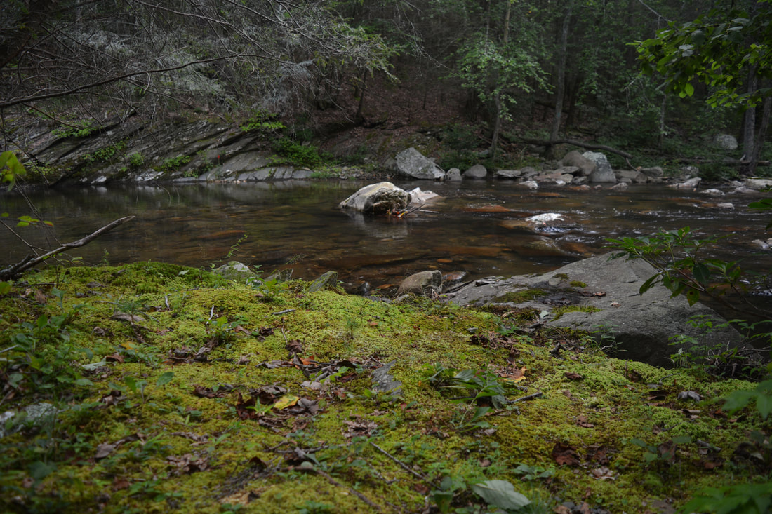
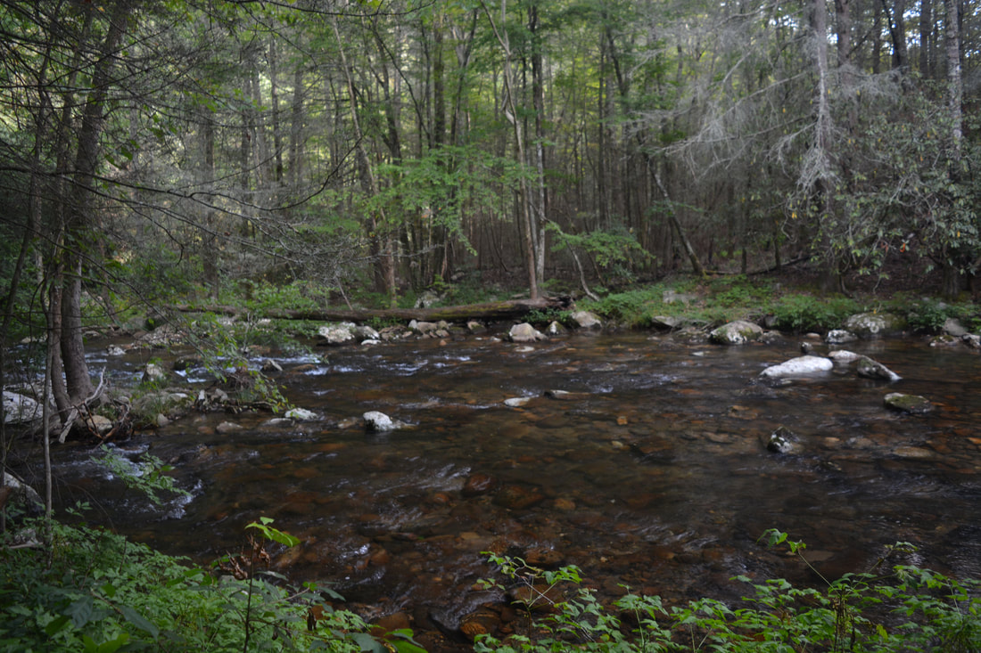
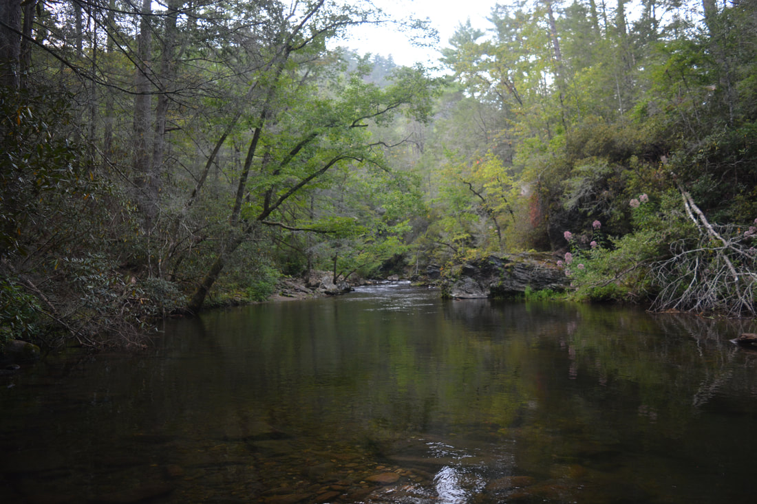
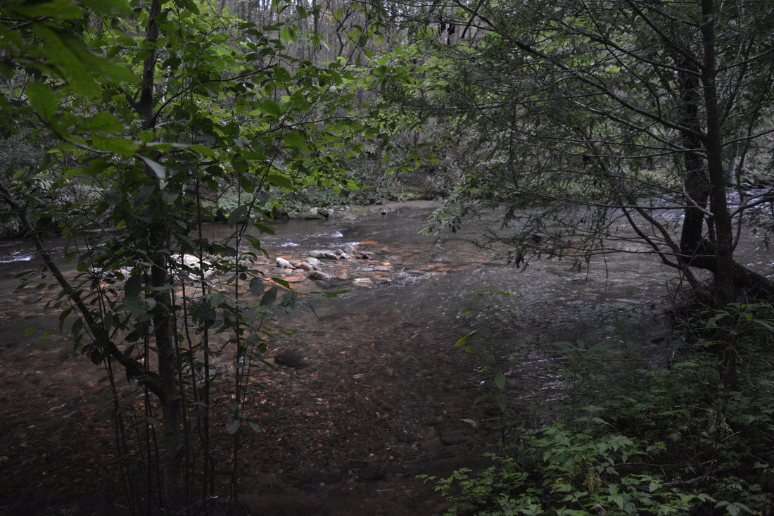
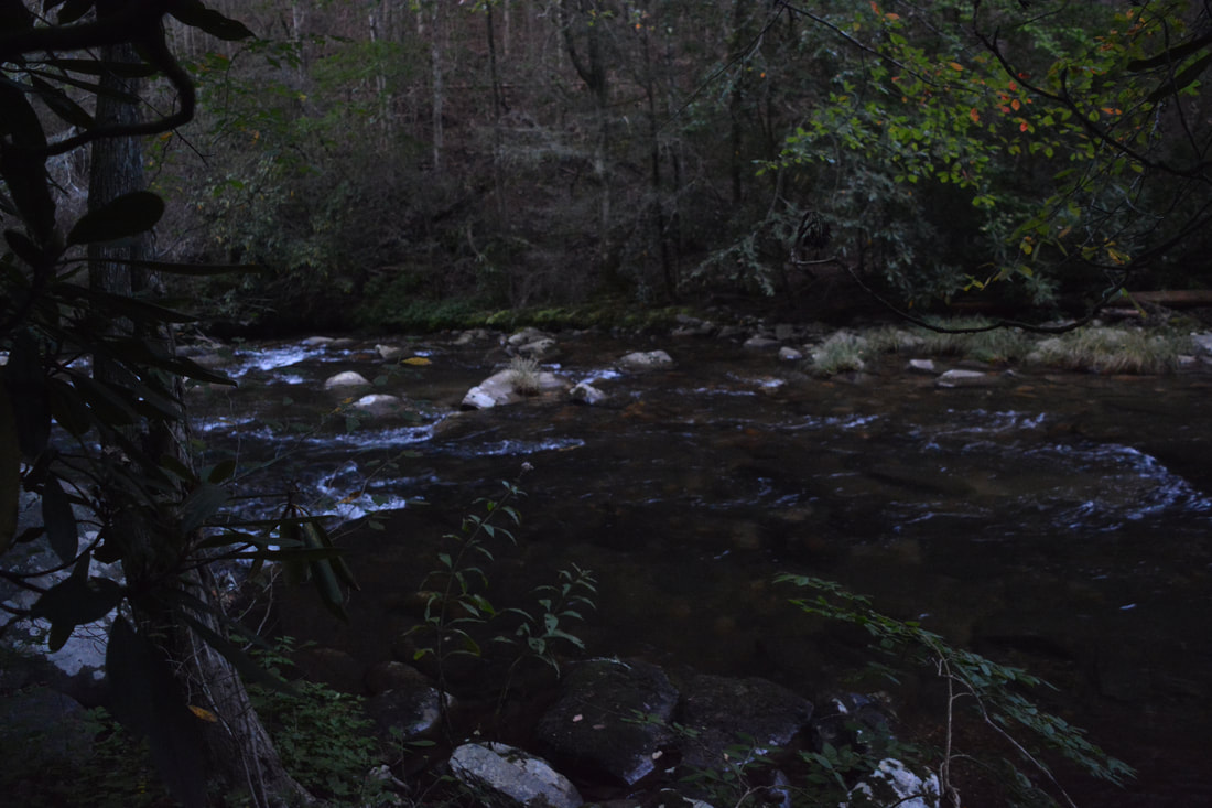
The confluence of Thomas Creek (left) with the Conasauga River is yet another brilliant spot along the Conasauga River Trail.
Mileage
0.0 - Betty Gap Trailhead
1.05 - Cascades on Birch Creek 1.4 - Reach Conasauga River (Ford #1) 1.95 - Chestnut Lead Trail Junction 2.05 - Scenic Cascades by Ford #2 5.2 - Panther Creek Trail Junction 5.6 - Bray Field/Tearrbritches Trail Junction 5.65 - Hickory Creek Trail Junction (East) 6.7 - Hickory Creek Trail Junction (West) 6.8 - Scenic Small Waterfall/Rapids by Ford #20 7.7 - Thomas Creek Confluence 11.85 - Leave Conasauga River (Ford #38) 13.1 - FS 17B Trailhead Variations
Hike out and back to the small waterfall at Ford #20 from FS 17B - 12.6 Miles
Hike out and back to the small waterfall at Ford #20 from Betty Gap - 13.6 Miles Bonus Stops
Consider stopping at the spectacular Mill Creek Falls down Mill Creek Road (FS 630) near Hickey Gap Campground.
PicturesVideos
0 Comments
Leave a Reply. |
About MeMark Oleg Ozboyd Dear readers: I have invested a tremendous amount of time and effort in this website and the Georgia Waterfalls Database the past five years. All of the work that has gone in keeping these websites updated with my latest trip reports has almost been like a full-time job. This has not allowed me to pick up a paid job to save up money for college, and therefore, I I've had to take out loans. If you find the information on this website interesting, helpful, or time-saving, you can say "thanks" and help me out by clicking the button above and making a contribution. I will be very grateful for any amount of support you give, as all of it will apply toward my college tuition. Thank you!

Coming in 2022-2023?
Other Hiking WebsitesMiles HikedYear 1: 540.0 Miles
Year 2: 552.3 Miles Year 3: 518.4 Miles Year 4: 482.4 Miles Year 5: 259.9 Miles Archives
March 2021
Categories
All
|
||


 RSS Feed